


Ampiro Volcano
Updated: Mar 28, 2025 23:41 GMT -
Stratovolcano?
Philippines, 8.39°N / 123.63°E 
Summit height: 1532 m / 5026 ft
Current status: (probably) extinct (0 out of 5)
[smaller] [larger]
Ampiro volcano eruptions: None during the past 10,000 years
Less than few million years ago (Pleistocene)
Latest nearby earthquakes
| Date and Time | Mag / Depth | Distance / Location | |||
|---|---|---|---|---|---|
| Mar 19, 11:43 pm (GMT +8) | 1.6 1 km | 19 km (12 mi) to the W | Info | ||
Background
Ampiro volcano lies north of Malindang volcano in NW Mindanao. Ampiro was classified as "active" by Sajona et al. (1994), although it appears on the "inactive" list of PHIVOLCS (2004-). Samples from the flanks of the volcano were dated at between about 700,000 and 290,000 yrs BP.---
Source: Smithsonian / GVP volcano information
Latest satellite images

Ampiro Volcano Maps
Below is a selection of maps showing the location and surroundings of the volcano at various resolutions based on aerial-imagery / terrain maps. Feel free to use them for non-commercial purposes on your blog or website as long as you credit them with a link back to this page (click to copy it).
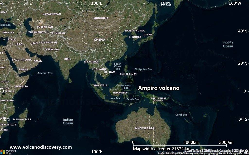
Satellite/aerial-type map of Ampiro volcano (world scale)
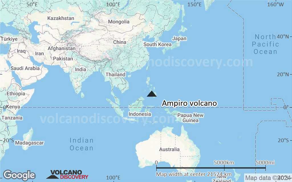
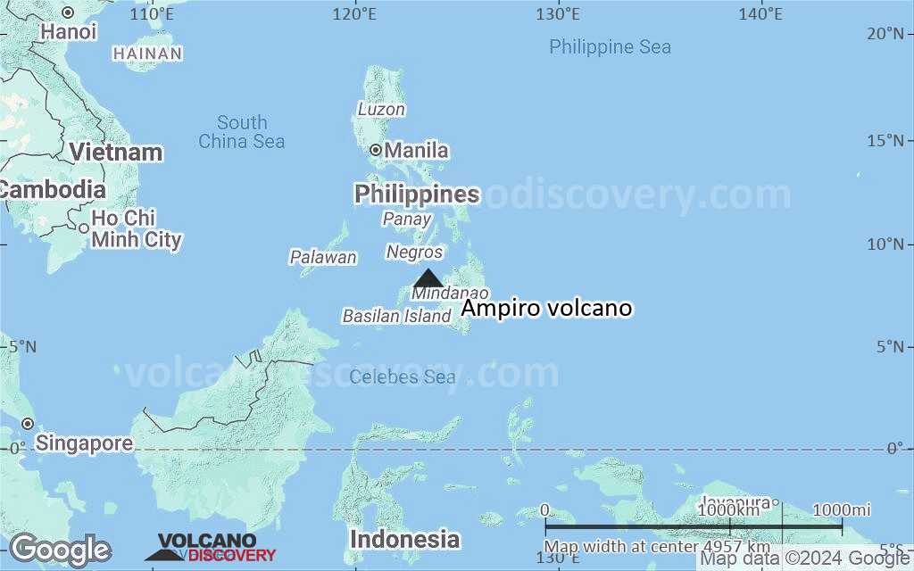
Terrain-type map of Ampiro volcano (world scale)
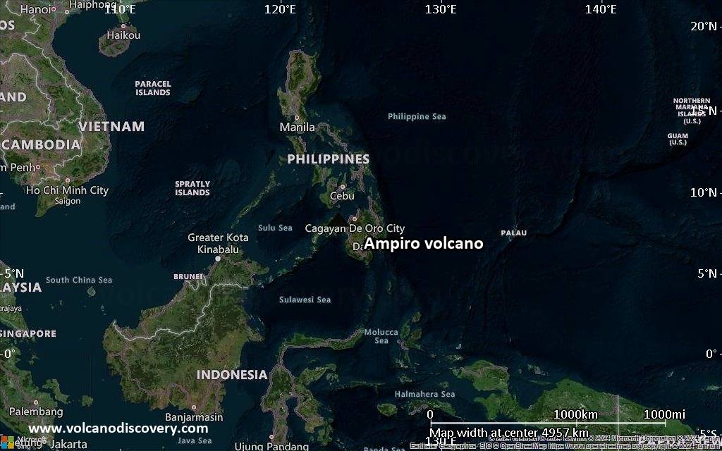
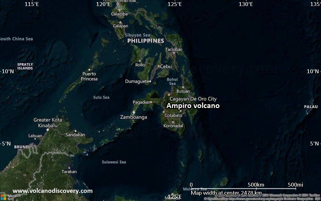
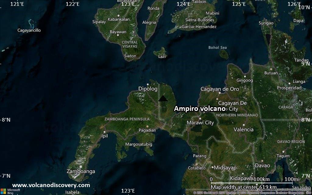
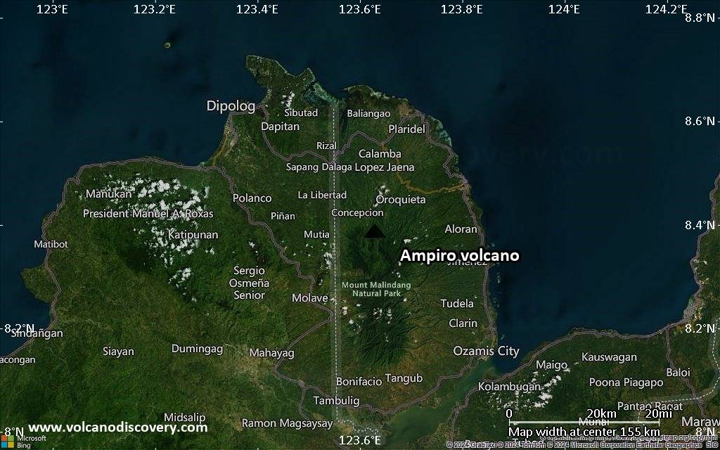
Satellite/aerial-type map of Ampiro volcano (region scale large)
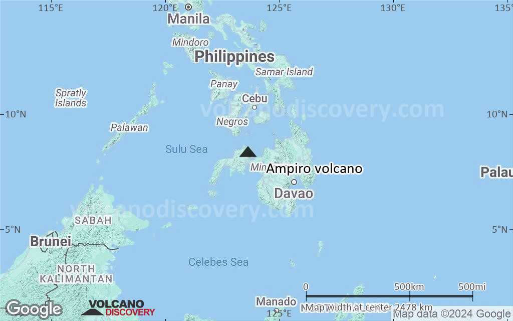
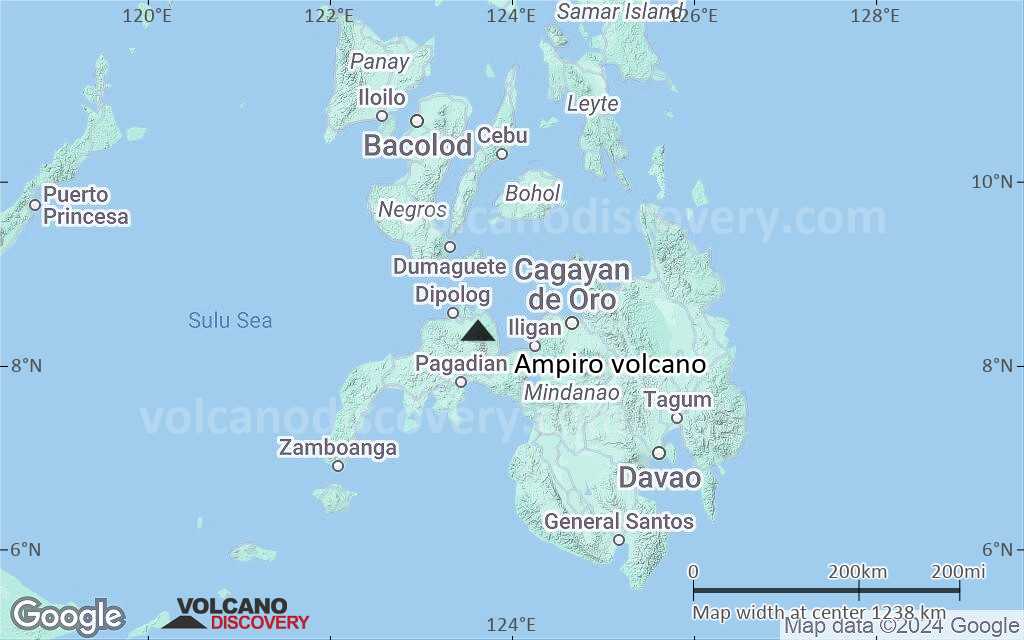
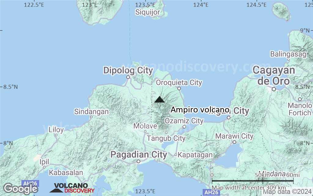
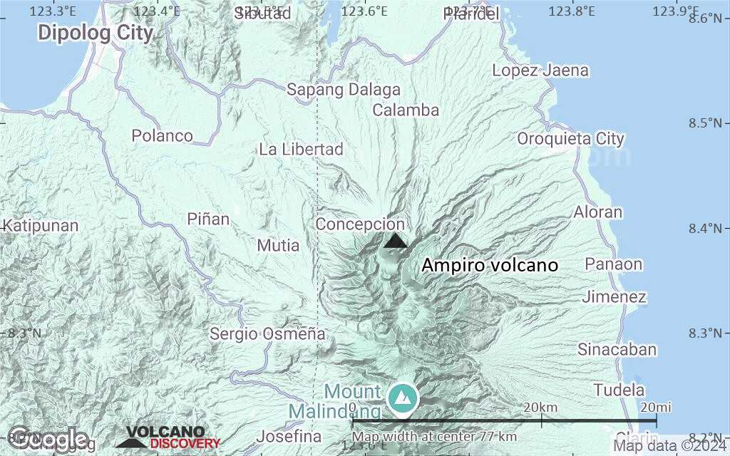
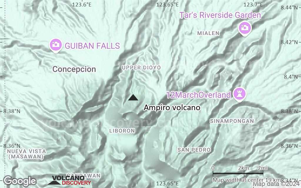
Terrain-type map of Ampiro volcano (region scale large)
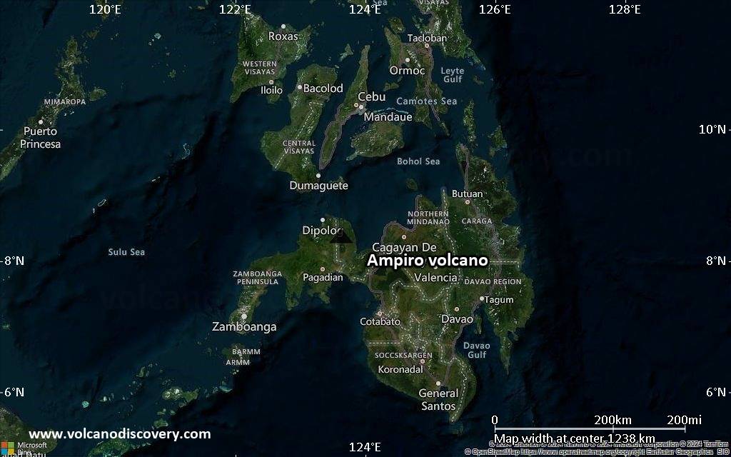
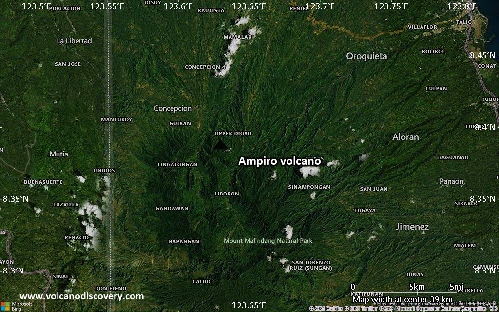
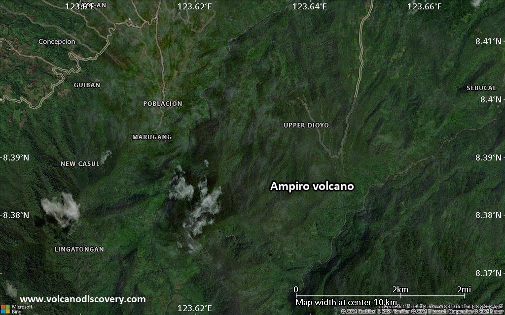
Satellite/aerial-type map of Ampiro volcano (region scale medium)
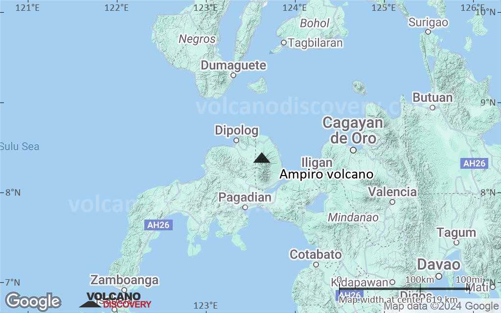
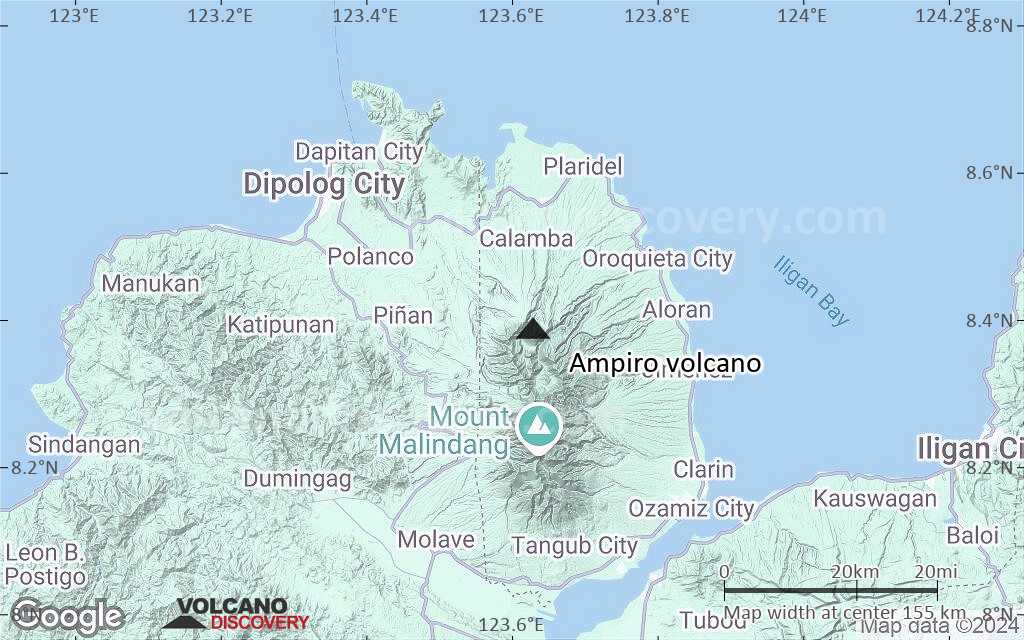
Terrain-type map of Ampiro volcano (region scale medium)
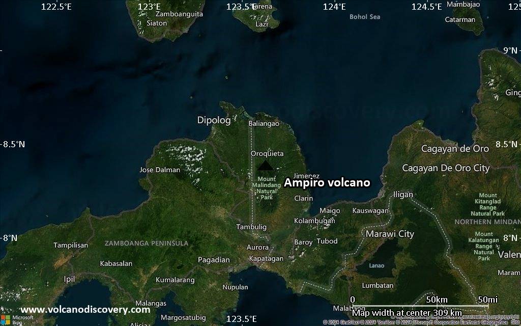
Satellite/aerial-type map of Ampiro volcano (region scale small)
Terrain-type map of Ampiro volcano (region scale small)
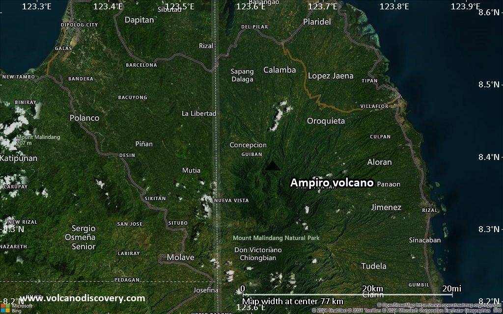
Satellite/aerial-type map of Ampiro volcano (local scale large)
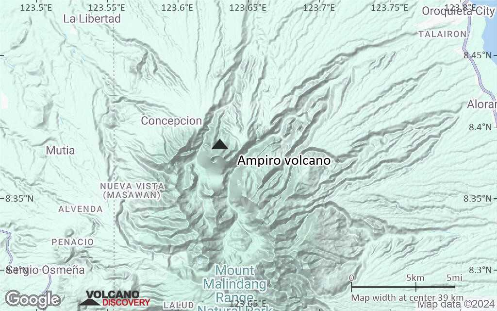
Terrain-type map of Ampiro volcano (local scale large)
Satellite/aerial-type map of Ampiro volcano (local scale medium)
Terrain-type map of Ampiro volcano (local scale medium)
Satellite/aerial-type map of Ampiro volcano (local scale small)
Terrain-type map of Ampiro volcano (local scale small)
Satellite/aerial-type map of Ampiro volcano (scale of 10s of km)
Terrain-type map of Ampiro volcano (scale of 10s of km)
Satellite/aerial-type map of Ampiro volcano (scale of 20-40 km)
Terrain-type map of Ampiro volcano (scale of 20-40 km)
Satellite/aerial-type map of Ampiro volcano (scale of approx. 10-20 km)
Terrain-type map of Ampiro volcano (scale of approx. 10-20 km)
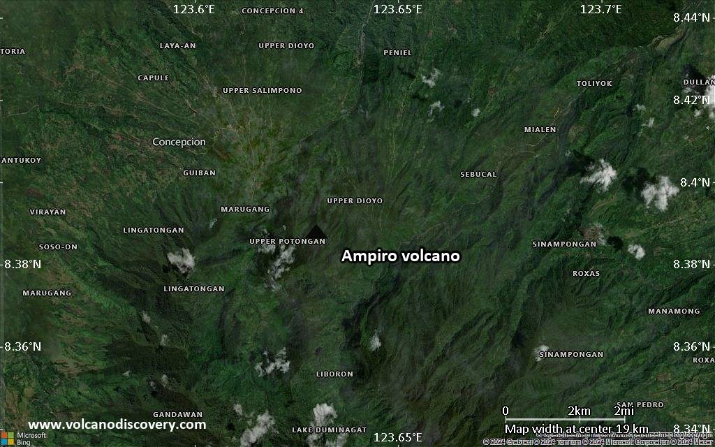
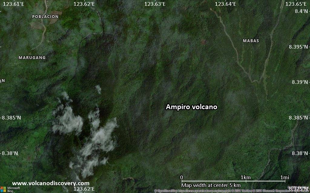
Satellite/aerial-type map of Ampiro volcano (scale of 5-10 km)
Satellite/aerial-type map of Ampiro volcano (scale of few kilometers)


