Meru Volcano
Updated: Apr 27, 2025 02:56 GMT -
Stratovolcano
Tanzania, -3.25°S / 36.75°E 
Summit height: 4565 m / 14,977 ft
Current status: normal or dormant (1 out of 5)
Last update: 9 Mar 2022 (no eruption - large forest fire)
[smaller] [larger]
Meru volcano eruptions: 2015, 1910
Latest nearby earthquakes
| Date and Time | Mag / Depth | Distance / Location | |||
|---|---|---|---|---|---|
Background
Meru volcano, Africa's fourth highest mountain, is dwarfed by neighboring Kilimanjaro volcano, but is an impressive peak in its own right. Seen from the west, Meru has a conical profile, but it contains a 5-km-wide breached caldera on the east side that formed about 7800 years ago when the summit of the volcano collapsed. Associated massive debris avalanches and lahars traveled as far as the western flank of Kilimanjaro volcano. Parasitic cones and lava domes are located on all sides; a maar field is present on the lower north flank. The historically active Ash Cone forms a prominent symmetrical cone inside the breached caldera. A second vent between it and the caldera headwall has fed lava flows that cover much of the caldera floor.---
Smithsonian / GVP volcano information
Meru Volcano Photos
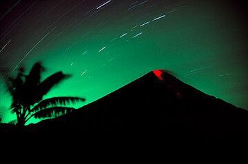
Erupting Semeru volcano at night (March 2004) - a small explosion expels incandescent bombs that roll down its southern flank. (Photo: Tom Pfeiffer)
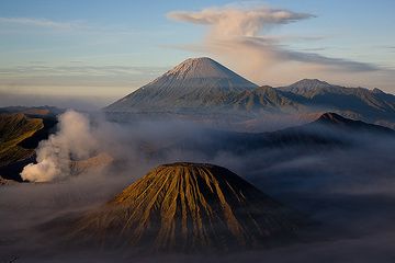
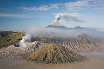
Volcanic trio: Batok cinder cone (foreground), smoking Bromo, and majestic Semeru with an umbrella cloud.
This view of East Java's Tengger caldera (Indonesia) is o...
This view of East Java's Tengger caldera (Indonesia) is o...
Eruption at Semeru volcano with smoking Bromo and the eroded cone of Batok volcanoes in the foreground. (Photo: Tom Pfeiffer)
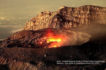
The growing lava dome of Semeru volcano in early November 2015. (Photo: Andi / VolcanoDiscovery Indonesia)
Significant volcanic eruptions: Meru volcano
In the past 10,000 years, Meru has had at least 4 confirmed volcanic eruptions, out of which 3 are documented by historical records, while the others can be inferred from geological evidence.
The table below lists all known eruptions (date in bold face) of Meru volcano in historic times and during the past 10,000 years. Updates on the most recent volcanic activity of Meru can be found on the news page of Meru volcano.
| Date | Note | VEI | Deaths | Damage | |
|---|---|---|---|---|---|
| Ash Cone Historical obs./docs. | 2 | ||||
| Dome NW of Ash Cone Historical obs./docs. | ? | ||||
| Dome NW of Ash Cone Historical obs./docs. | 2 | ||||
| 4P | |||||
Remark:
Our list of volcanic eruptions closely follows the database of eruptions of the Smithsonian's Global Volcanism Project (GVP), the internationally most recognized data source for volcanic eruptions, but also includes significant eruptive episodes or related volcano events. "Volcanic eruptions" are usually to be understood as sequences of individual eruptive episodes that can follow each other, or even overlap (if several vents are involved), and can last many years, decades or even longer. For example, the current activity of Stromboli volcano is understood as a single eruption that has been ongoing since 1934.
Sources: NOAA National Centers for Environmental Information (NCEI), Global Significant Volcanic Eruptions Database. doi:10.7289/V5TD9V7K | Global Volcanism Project / Smithsonian Institution
Meru Volcano FAQ
+When was the last eruption of Meru volcano?
The last confirmed eruption of Meru occurred in 1910.
+How often does Meru volcano erupt?
Since 1878, Meru volcano has had at least 3 historically documented eruptions. This means that it erupts on average every 49 years.
+How active is Meru volcano at present?
Meru volcano is occasionally active: Since 1900, it has had one eruption, which occurred in 1910.
+When was the largest eruption of Meru volcano?
The largest eruption known from the younger geological history of Meru volcano occurred in 5850 BC. It ranks as a strombolian to vulcanian eruption with a magnitude 2 on the VEI (Volcanic Explosivity Index) scale.
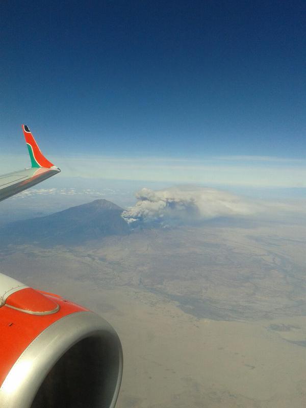
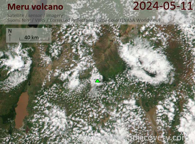
Latest satellite images

Meru Volcano Maps
Below is a selection of maps showing the location and surroundings of the volcano at various resolutions based on aerial-imagery / terrain maps. Feel free to use them for non-commercial purposes on your blog or website as long as you credit them with a link back to this page (click to copy it).
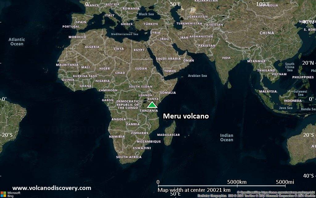
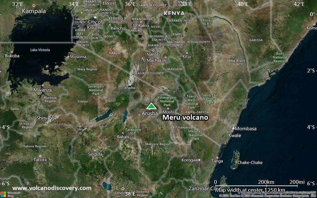
Satellite/aerial-type map of Meru volcano (world scale)
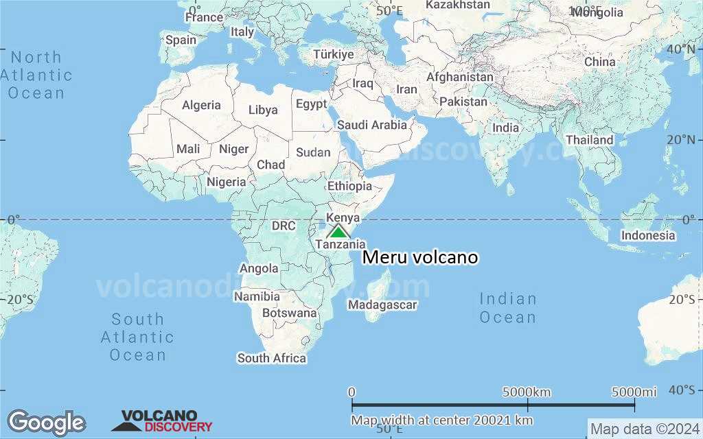
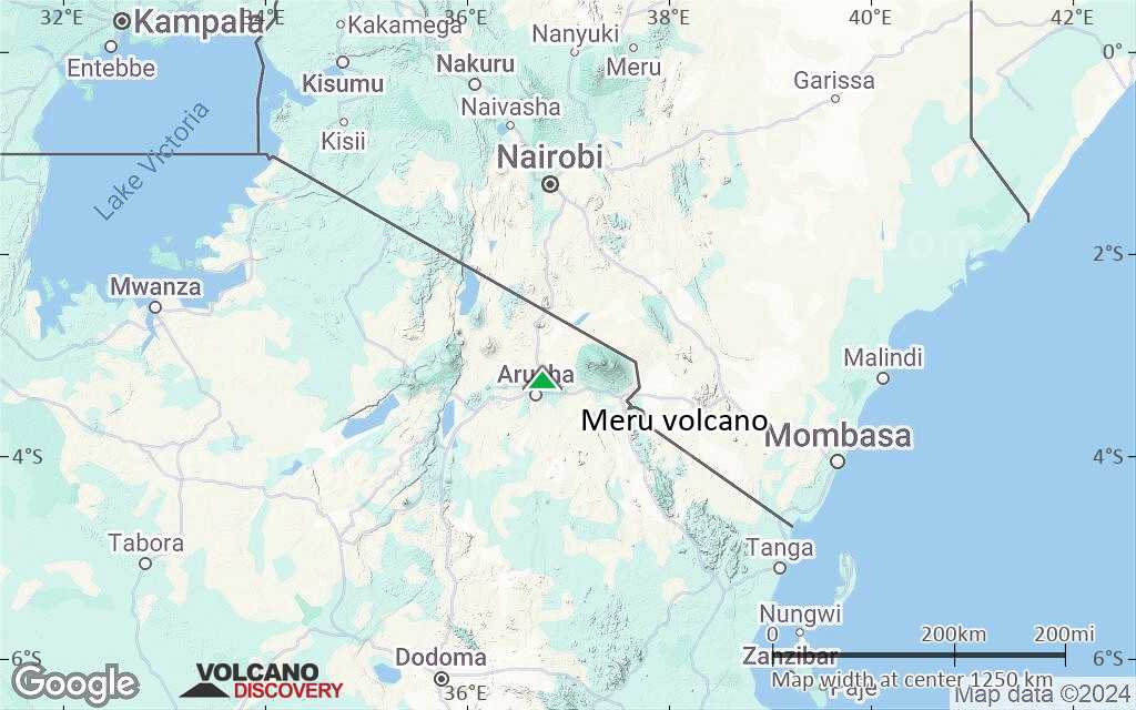
Terrain-type map of Meru volcano (world scale)

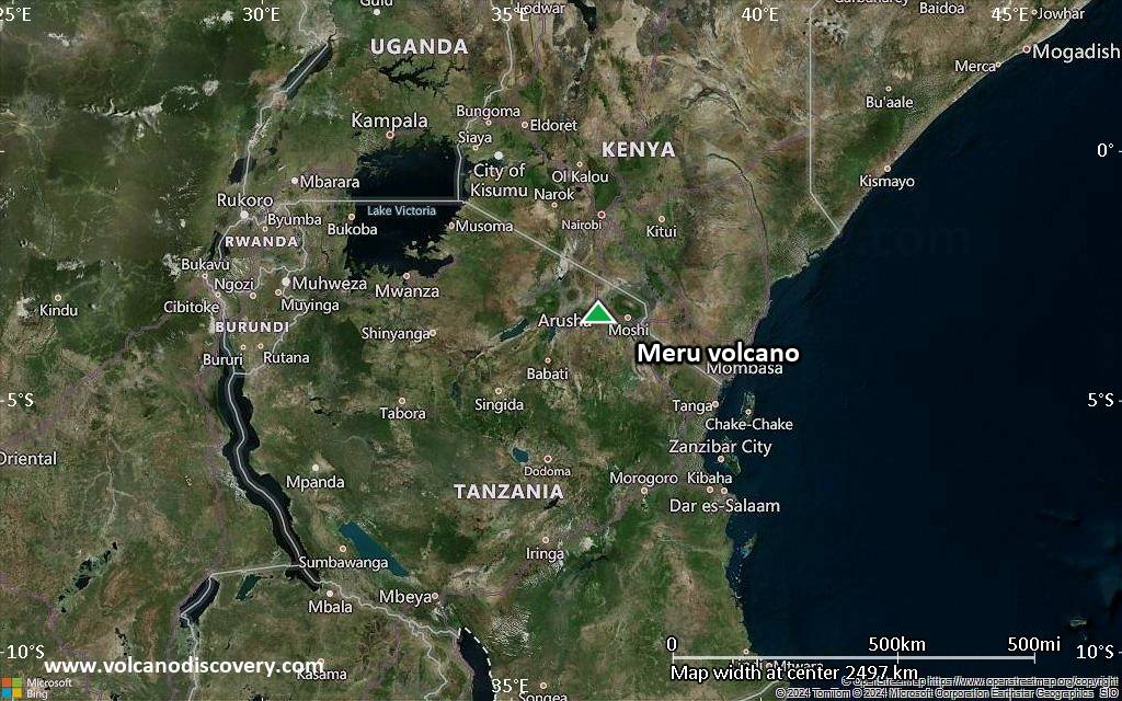
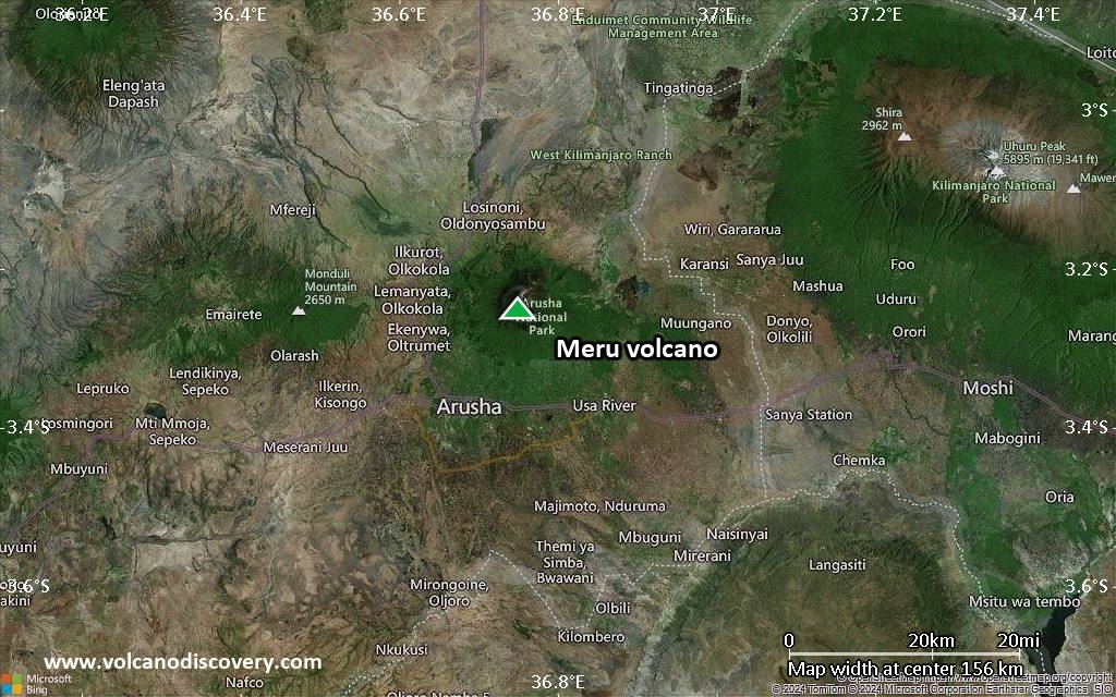
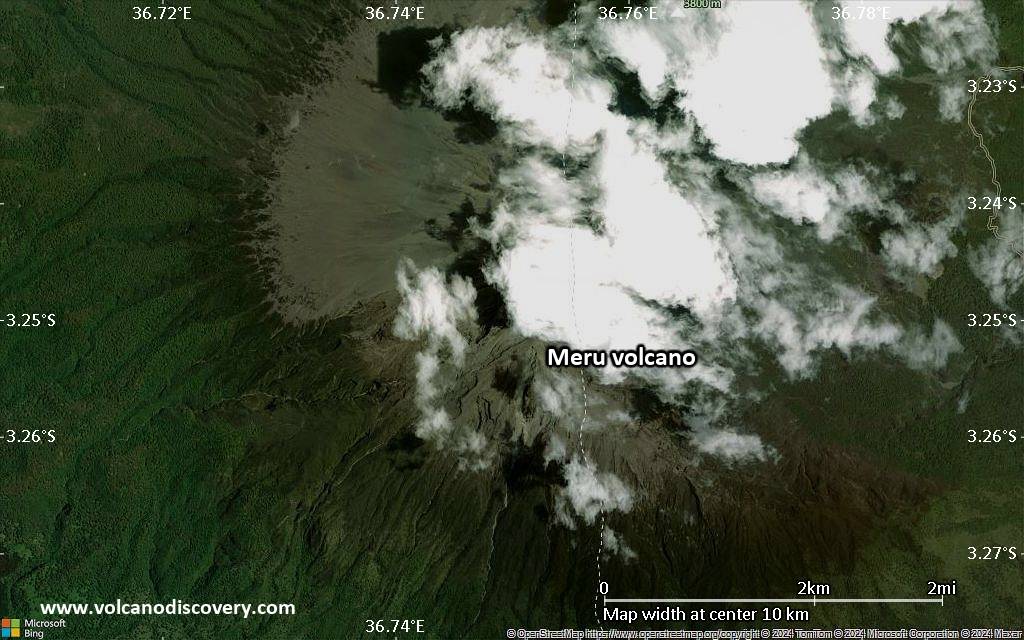
Satellite/aerial-type map of Meru volcano (region scale large)
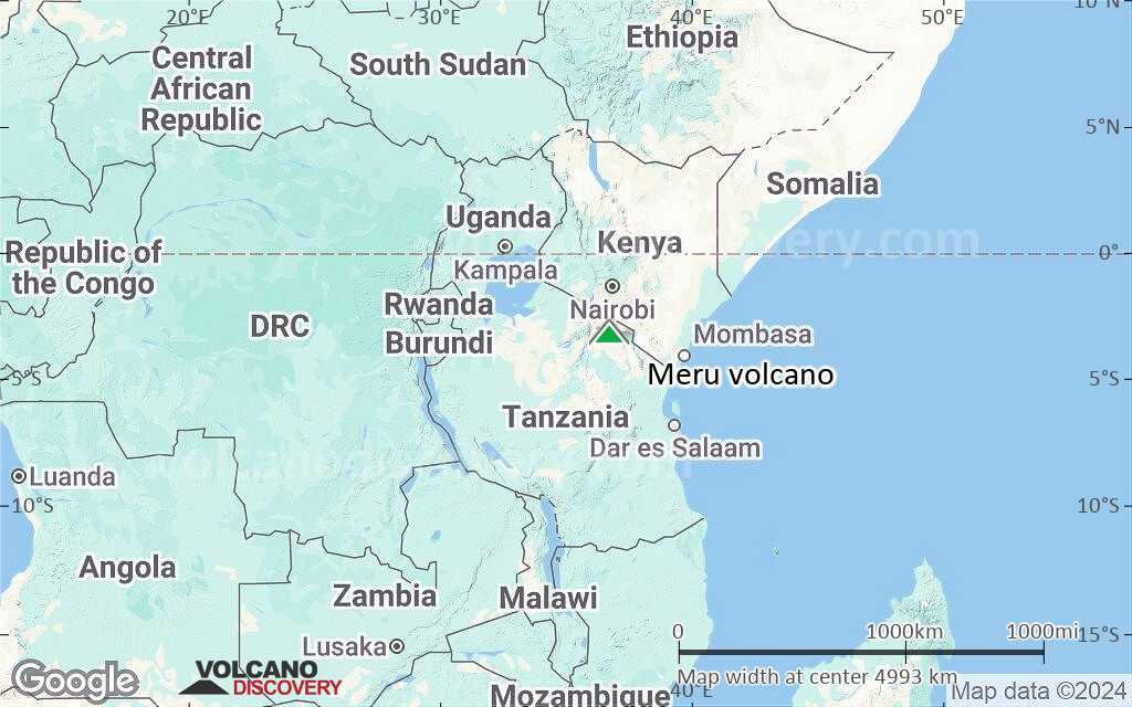
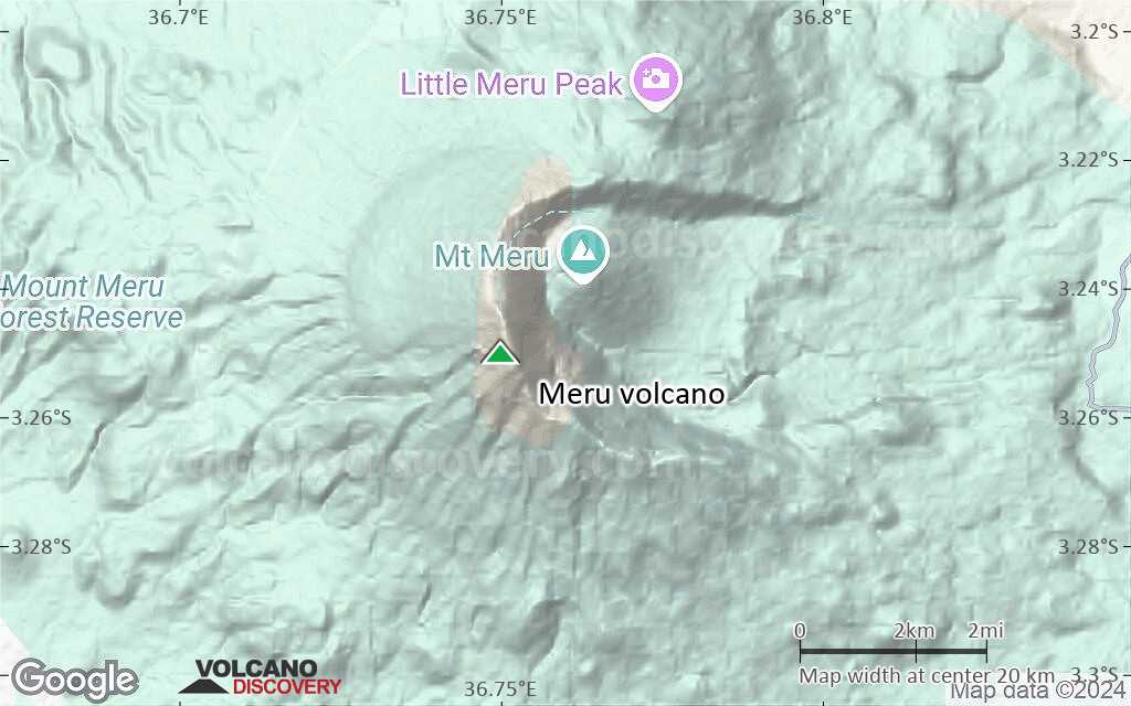
Terrain-type map of Meru volcano (region scale large)
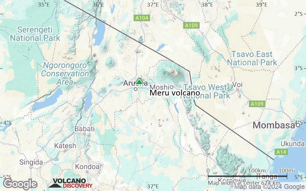
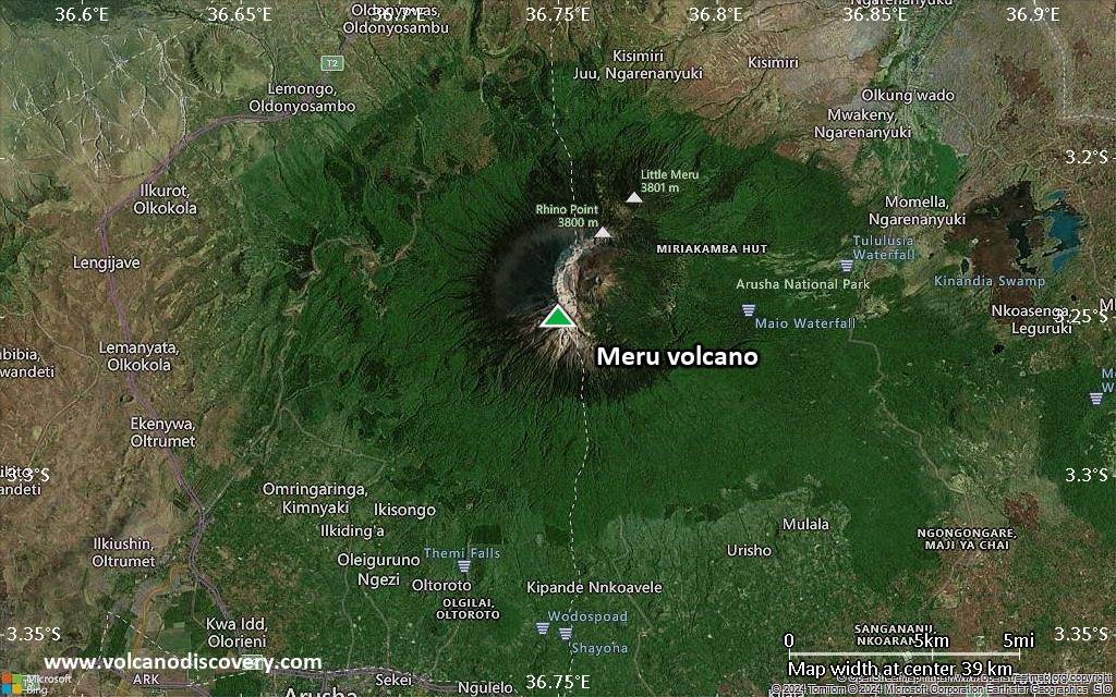
Satellite/aerial-type map of Meru volcano (region scale medium)
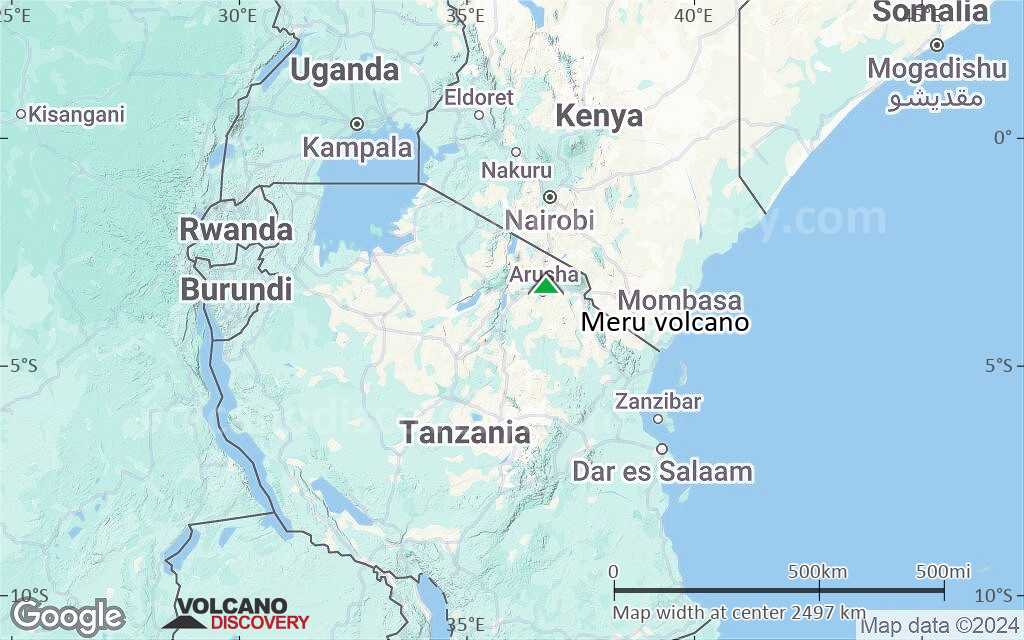
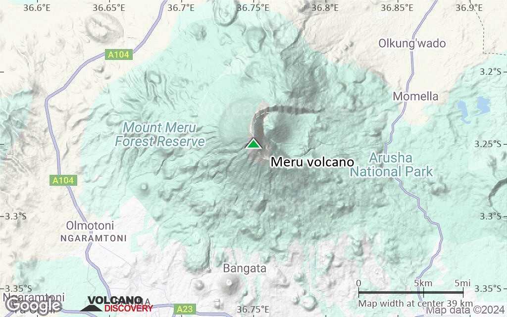
Terrain-type map of Meru volcano (region scale medium)
Satellite/aerial-type map of Meru volcano (region scale small)
Terrain-type map of Meru volcano (region scale small)

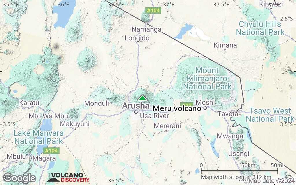
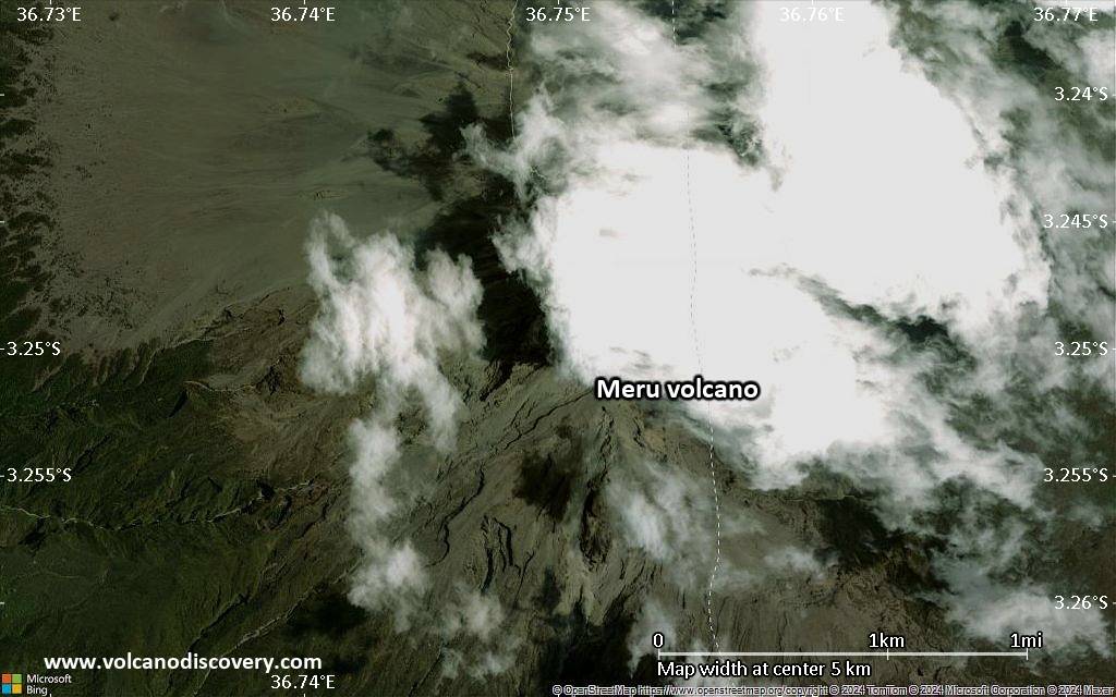
Satellite/aerial-type map of Meru volcano (local scale large)
Terrain-type map of Meru volcano (local scale large)

Satellite/aerial-type map of Meru volcano (local scale medium)
Terrain-type map of Meru volcano (local scale medium)
Satellite/aerial-type map of Meru volcano (local scale small)

Terrain-type map of Meru volcano (local scale small)

Satellite/aerial-type map of Meru volcano (scale of 10s of km)

Terrain-type map of Meru volcano (scale of 10s of km)
Satellite/aerial-type map of Meru volcano (scale of 20-40 km)
Terrain-type map of Meru volcano (scale of 20-40 km)
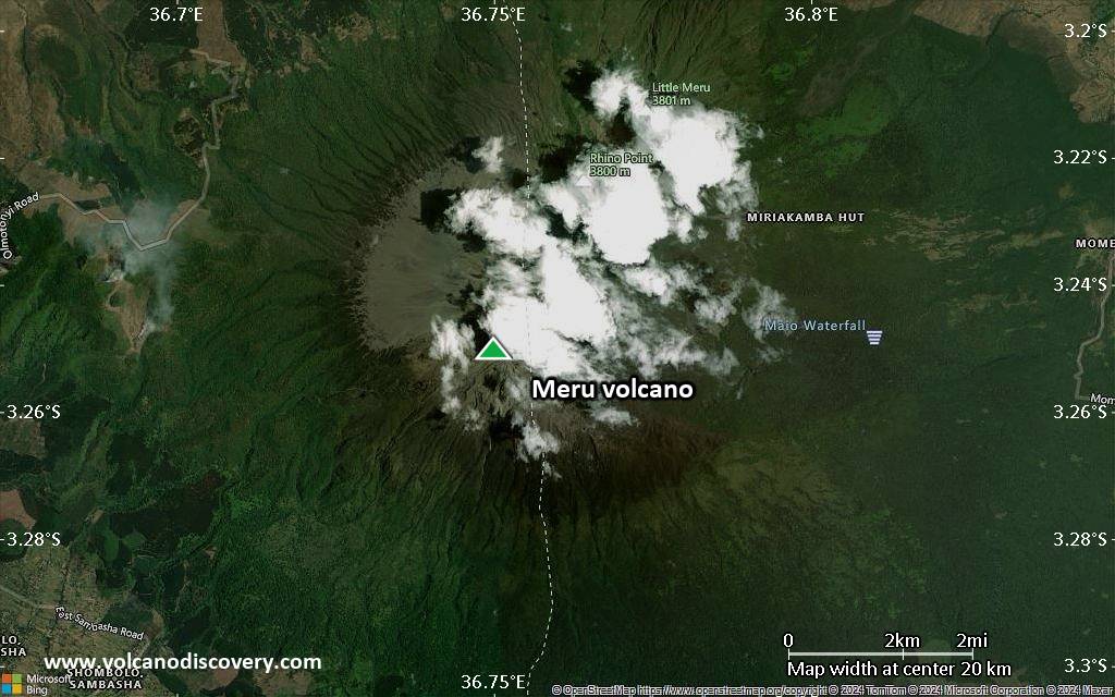
Satellite/aerial-type map of Meru volcano (scale of approx. 10-20 km)
Terrain-type map of Meru volcano (scale of approx. 10-20 km)
Satellite/aerial-type map of Meru volcano (scale of 5-10 km)
Satellite/aerial-type map of Meru volcano (scale of few kilometers)