


Matutum Volcano
Updated: Mar 28, 2025 23:47 GMT -
stratovolcano
Mindanao (Philippines), 6.37°N / 125.07°E 
Summit height: 2286 m / 7,500 ft
Current status: normal or dormant (1 out of 5)
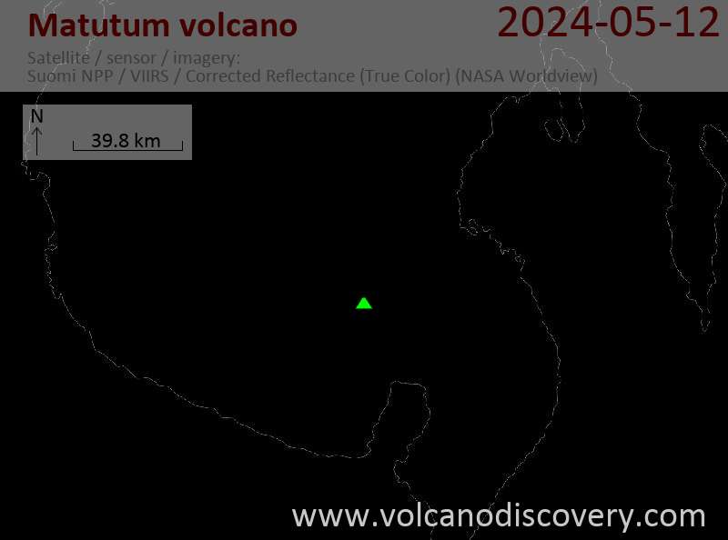
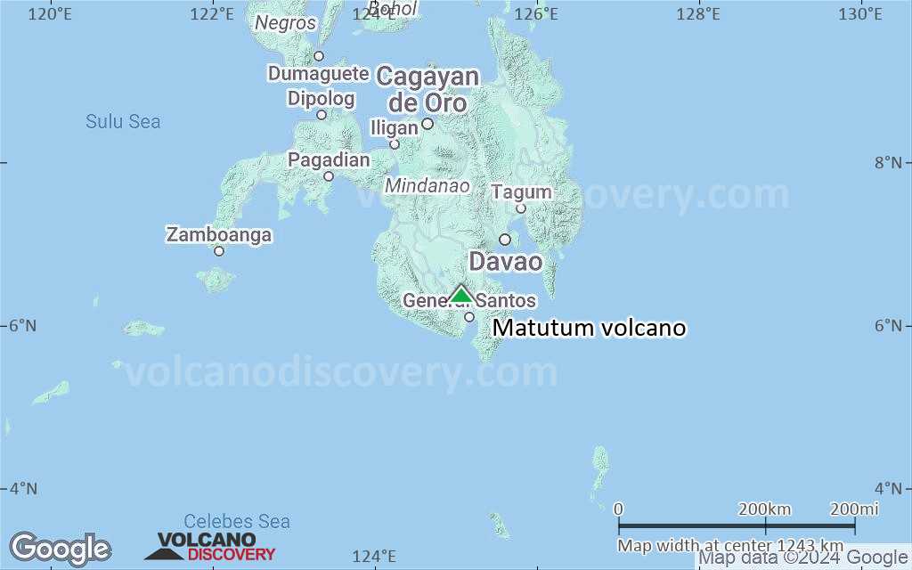
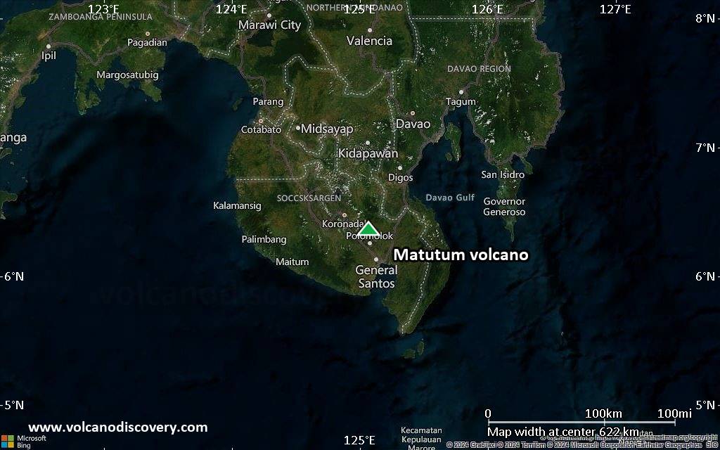
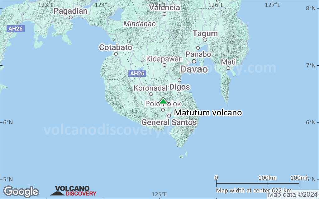
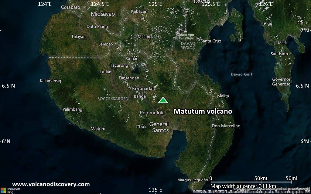
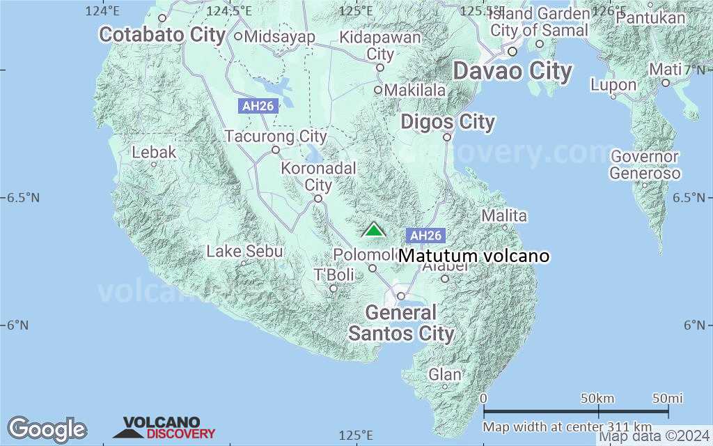
Matutum is a symmetrical stratovolcano located in southern Mindanao, NW of Sarangani Bay and 30 km NNW of General Santos City.
The mountain, a popular hiking destination, has a well-preserved summit cone and a 320 m wide and a vegetated 120 m deep summit crater. The crater is breached by 3 large canyons.
[smaller] [larger]
Matutum volcano eruptions: 1911(?), 1290 ± 40 years, 170 BC ± 75, 400 BC ± 50
Latest nearby earthquakes
| Date and Time | Mag / Depth | Distance / Location | |||
|---|---|---|---|---|---|
| Mar 16, 10:02 am (GMT +8) | 2.7 5 km | 25 km (16 mi) to the E | Info | ||
Background
The plains around Matatum volcano are covered by silicic pyroclastic-flow deposits, the youngest of which were radiocarbon dated at about 2000 years ago.2 thermal areas, Akmoan and Lianan, are found on the WSW flank of the volcano.
Tectonic setting of Matutum volcano
Matutum volcano belongs to the Cotabato Arc, caused by the eastward subduction of the oceanic Celebes Sea microplate along the Cotabato trench under the southern tip of Mindanao Island, which belongs to the Philippine Mobile Belt. Mt Matutum is located 130 km from the trench. Deep-seismic studies show that the subducting slab is only 75-85 km below Mt Matutum volcano.
---
Reference:
Yumul et al (2008) "Tectonic setting of a composite terrane: A review of the Philippine island arc system", Geosciences Journal, v 12 (1), pp 7-17
Significant volcanic eruptions: Matutum volcano
No historic eruptions are known from Matutum volcano, but evidence from at least 3 eruptions during the past 10,000 years can be found in the geological record.
There is one uncertain or discredited eruption in 1911 from Matutum volcano.
There is one uncertain or discredited eruption in 1911 from Matutum volcano.
The table below lists all known eruptions (date in bold face) of Matutum volcano in historic times and during the past 10,000 years. Updates on the most recent volcanic activity of Matutum can be found on the news page of Matutum volcano.
| Date | Note | VEI | Deaths | Damage | |
|---|---|---|---|---|---|
?? | Uncertain Eruption | ? | |||
| ? | |||||
| ? | |||||
| ? | |||||
Remark:
Our list of volcanic eruptions closely follows the database of eruptions of the Smithsonian's Global Volcanism Project (GVP), the internationally most recognized data source for volcanic eruptions, but also includes significant eruptive episodes or related volcano events. "Volcanic eruptions" are usually to be understood as sequences of individual eruptive episodes that can follow each other, or even overlap (if several vents are involved), and can last many years, decades or even longer. For example, the current activity of Stromboli volcano is understood as a single eruption that has been ongoing since 1934.
Sources: NOAA National Centers for Environmental Information (NCEI), Global Significant Volcanic Eruptions Database. doi:10.7289/V5TD9V7K | Global Volcanism Project / Smithsonian Institution
Eruptions of Matutum volcano
1911 possible eruption
"Smoke" (i.e. volcanic ash) was seen at the volcano on 7 March 1911. This may indicate a probably small phreatic eruption. (Neumann van Padang, 1953)
"Smoke" (i.e. volcanic ash) was seen at the volcano on 7 March 1911. This may indicate a probably small phreatic eruption. (Neumann van Padang, 1953)
Matutum Volcano FAQ
+When was the last eruption of Matutum volcano?
The last confirmed eruption of Matutum occurred around 1290 AD.
Latest satellite images

Matutum Volcano Maps
Below is a selection of maps showing the location and surroundings of the volcano at various resolutions based on aerial-imagery / terrain maps. Feel free to use them for non-commercial purposes on your blog or website as long as you credit them with a link back to this page (click to copy it).
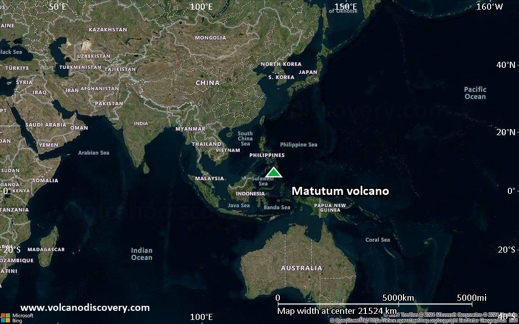
Satellite/aerial-type map of Matutum volcano (world scale)
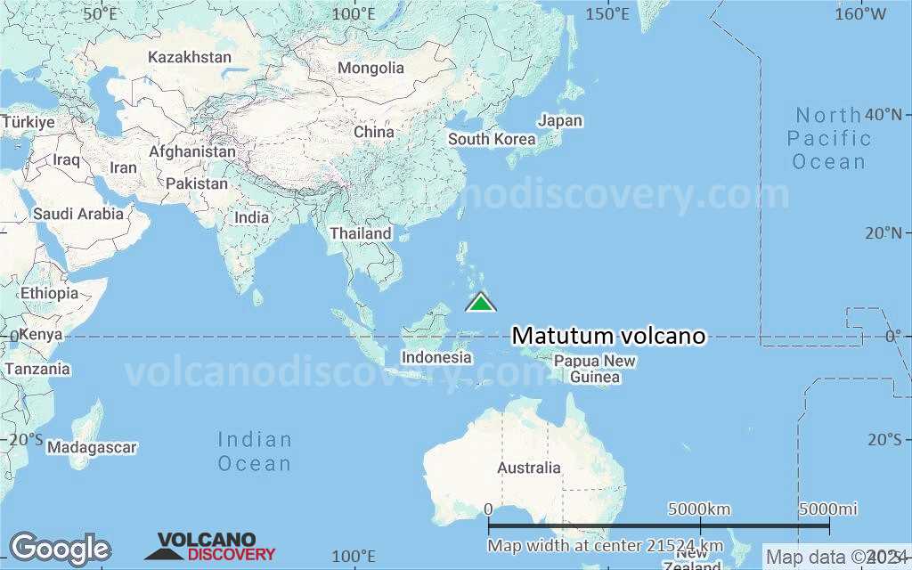
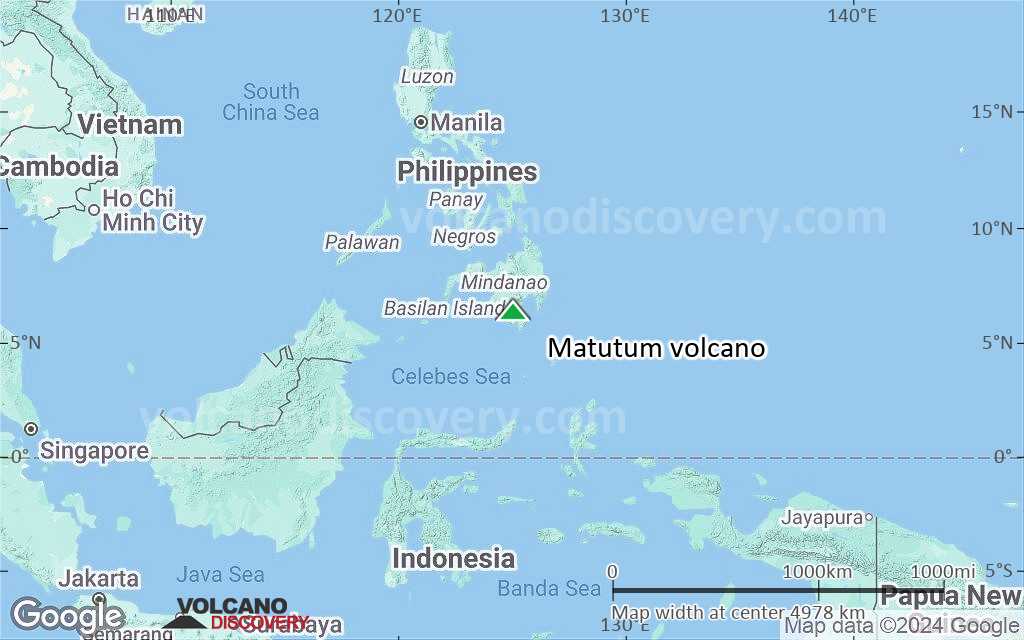
Terrain-type map of Matutum volcano (world scale)
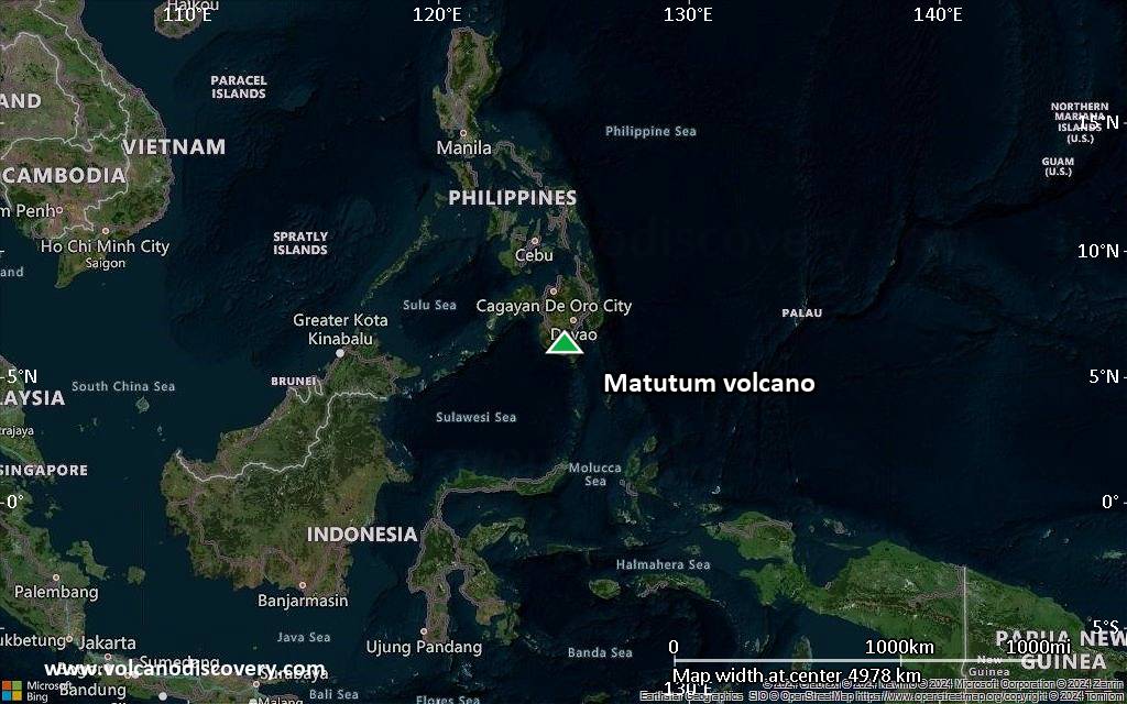
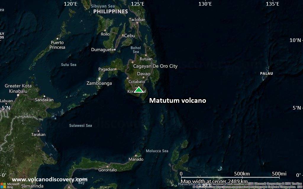
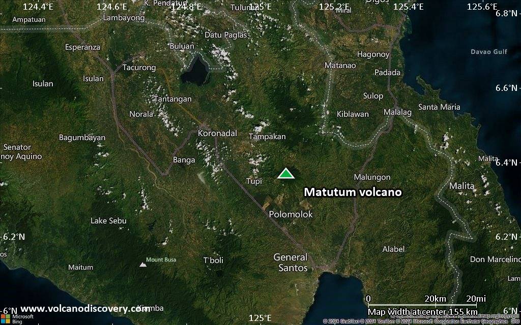
Satellite/aerial-type map of Matutum volcano (region scale large)
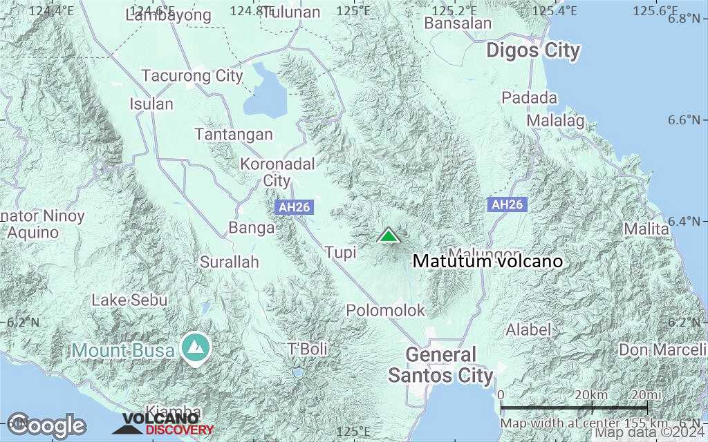
Terrain-type map of Matutum volcano (region scale large)
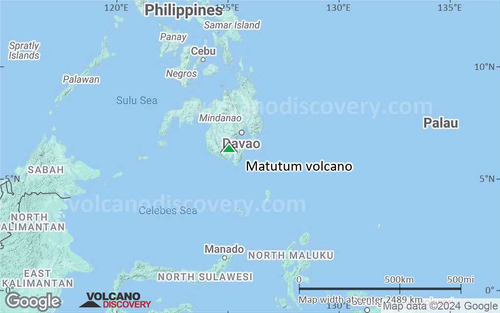
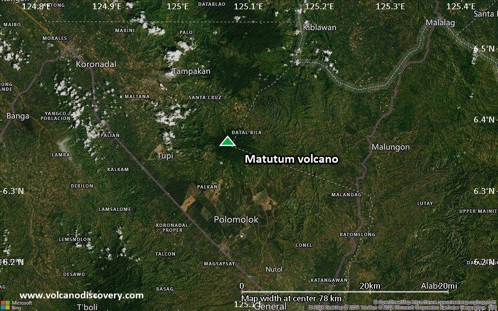
Satellite/aerial-type map of Matutum volcano (region scale medium)
Terrain-type map of Matutum volcano (region scale medium)
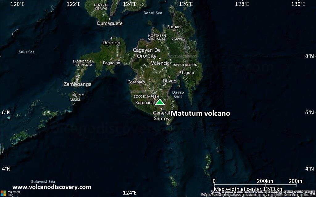
Satellite/aerial-type map of Matutum volcano (region scale small)
Terrain-type map of Matutum volcano (region scale small)
Satellite/aerial-type map of Matutum volcano (local scale large)
Terrain-type map of Matutum volcano (local scale large)
Satellite/aerial-type map of Matutum volcano (local scale medium)
Terrain-type map of Matutum volcano (local scale medium)
Satellite/aerial-type map of Matutum volcano (local scale small)
Terrain-type map of Matutum volcano (local scale small)
Satellite/aerial-type map of Matutum volcano (scale of 10s of km)

Terrain-type map of Matutum volcano (scale of 10s of km)
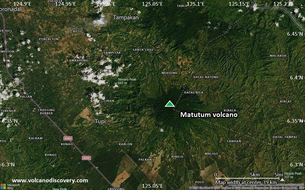
Satellite/aerial-type map of Matutum volcano (scale of 20-40 km)
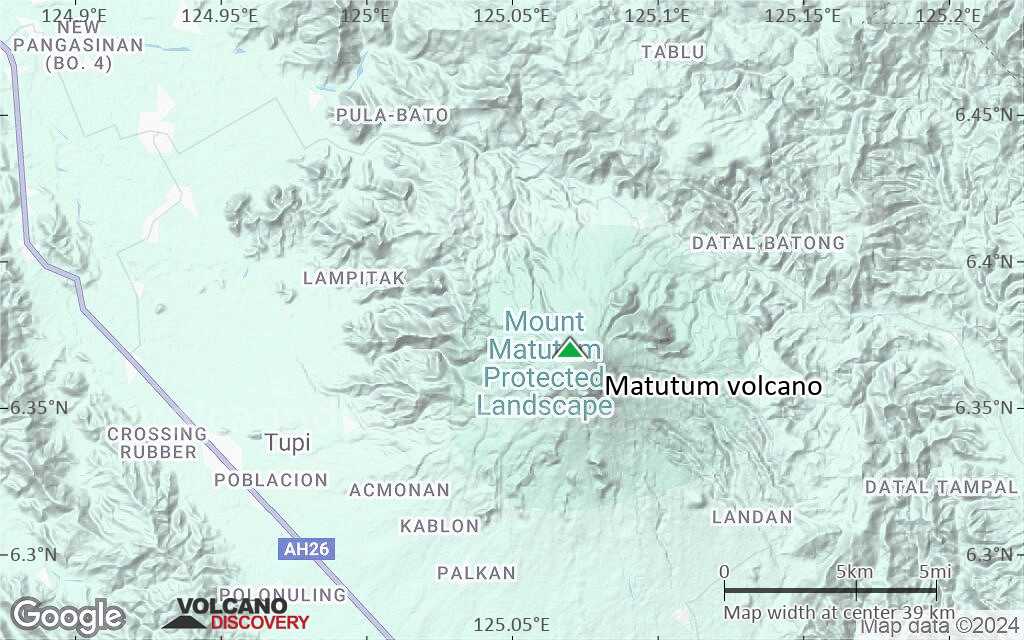
Terrain-type map of Matutum volcano (scale of 20-40 km)
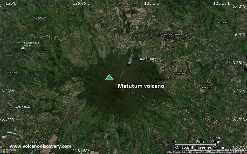
Satellite/aerial-type map of Matutum volcano (scale of approx. 10-20 km)
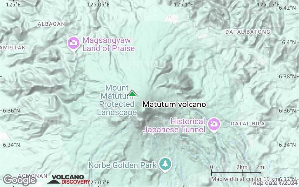
Terrain-type map of Matutum volcano (scale of approx. 10-20 km)

Satellite/aerial-type map of Matutum volcano (scale of 5-10 km)
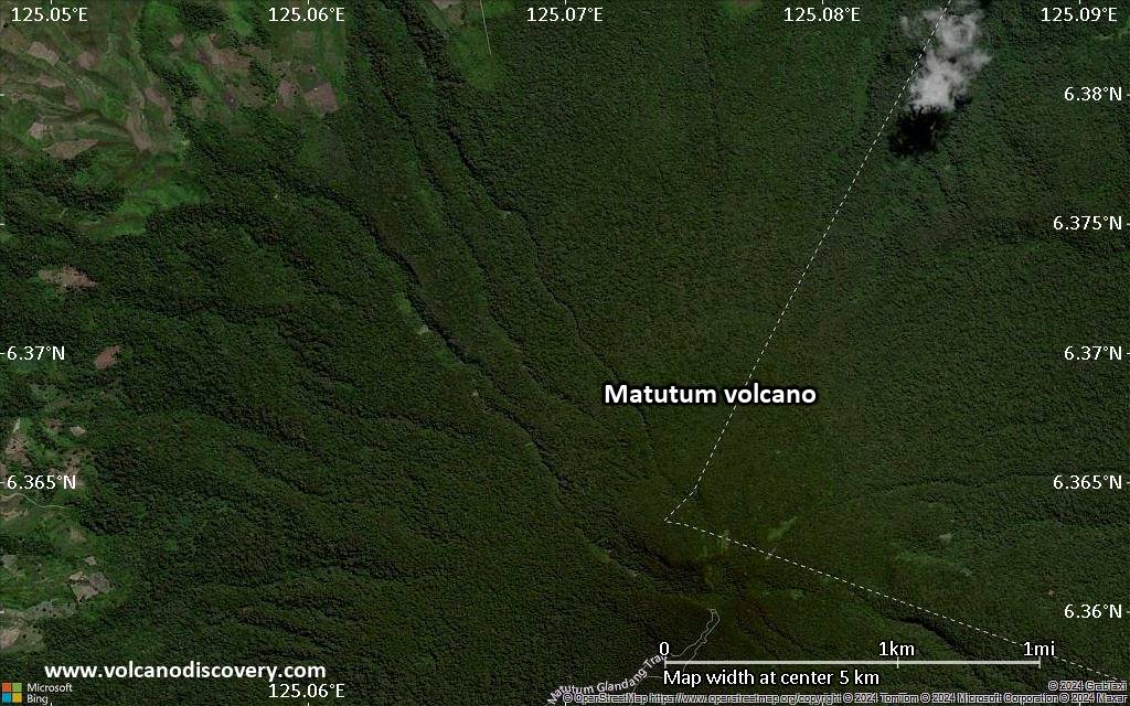
Satellite/aerial-type map of Matutum volcano (scale of few kilometers)


