


Mandalagan Volcano
Updated: Mar 29, 2025 00:00 GMT -
complex volcano
Central Philippines (Philippines), 10.65°N / 123.25°E 
Summit height: 1885 m / 6,184 ft
Current status: normal or dormant (1 out of 5)
Mandalagan volcano in northern Negros Island, Central Philippines, is an eroded dominantly andesitic-dacitic volcanic complex. It is formed by 7 volcanic edifices and has at least 5 craters of up to 2 km in diameter, some of which are probably calderas. The age of its last eruptions, which produced a thin basalt lava flow, is unknown.
Mandalagan has very active fumaroles in at least 11 locations.
One fumarole field is particularly powerful. It emits a high-temperature (106 degrees C) plume to 30 m height accompanied by a roaring noise like a high-pressure geothermal borehole.
Mandalagan volcano is part of the northern Negros volcanic arc which also contains Mt Silay (1534 m), Mt Kanlaon (2465 m). Mt Mandalagan volcanoes.
[smaller] [larger]
Mandalagan volcano eruptions: unknown
Latest nearby earthquakes
| Date and Time | Mag / Depth | Distance / Location | |||
|---|---|---|---|---|---|
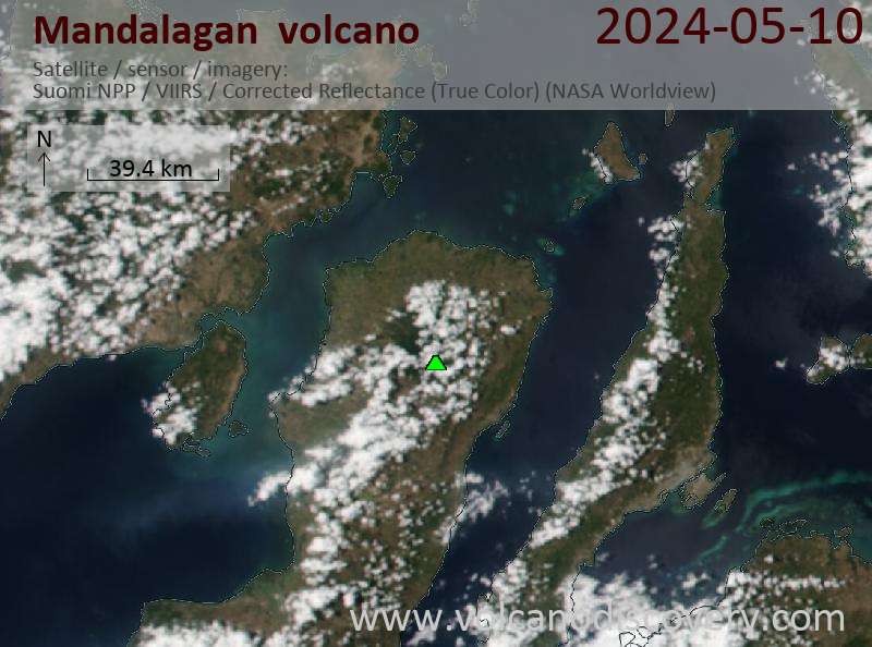
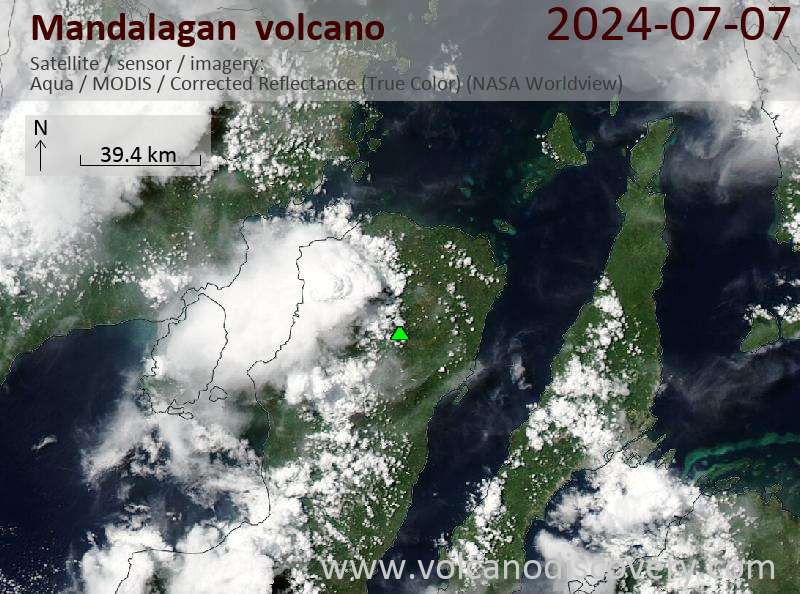
Latest satellite images
Mandalagan Volcano Maps
Below is a selection of maps showing the location and surroundings of the volcano at various resolutions based on aerial-imagery / terrain maps. Feel free to use them for non-commercial purposes on your blog or website as long as you credit them with a link back to this page (click to copy it).

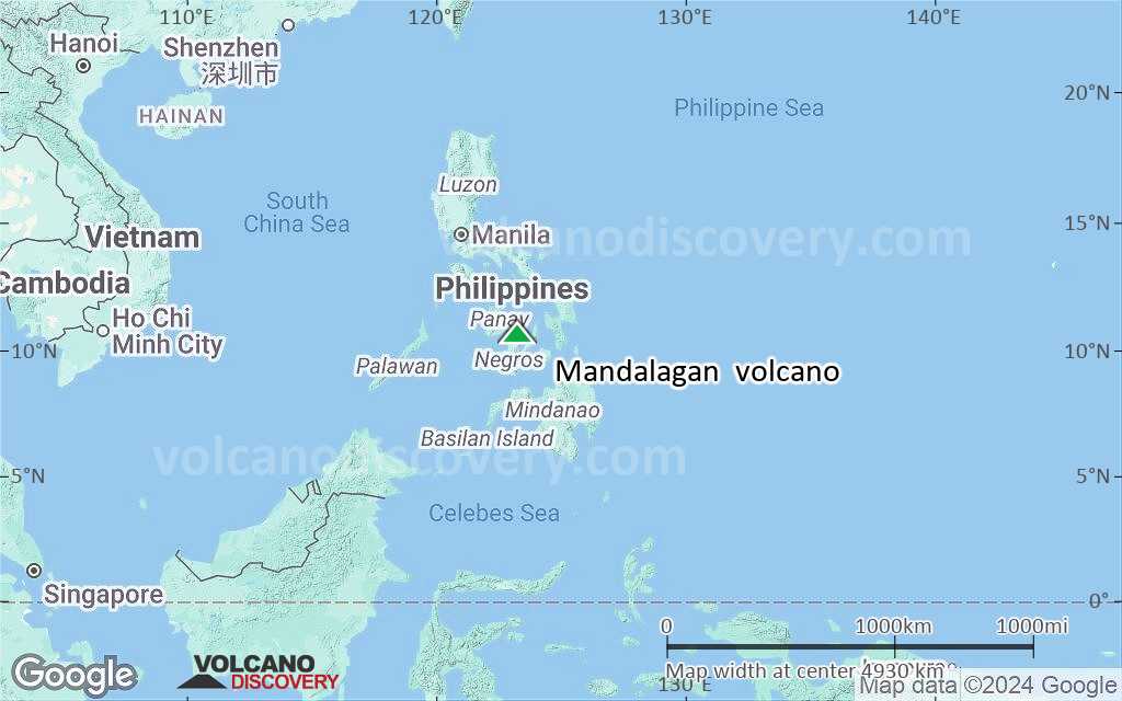
Satellite/aerial-type map of Mandalagan volcano (world scale)

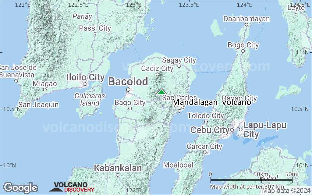
Terrain-type map of Mandalagan volcano (world scale)
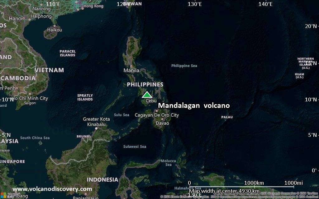
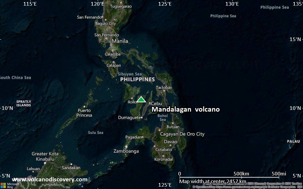
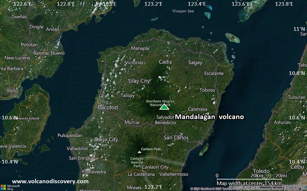
Satellite/aerial-type map of Mandalagan volcano (region scale large)
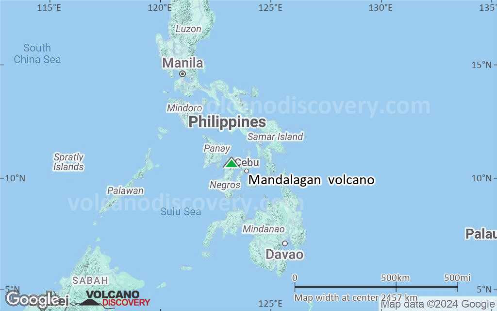
Terrain-type map of Mandalagan volcano (region scale large)
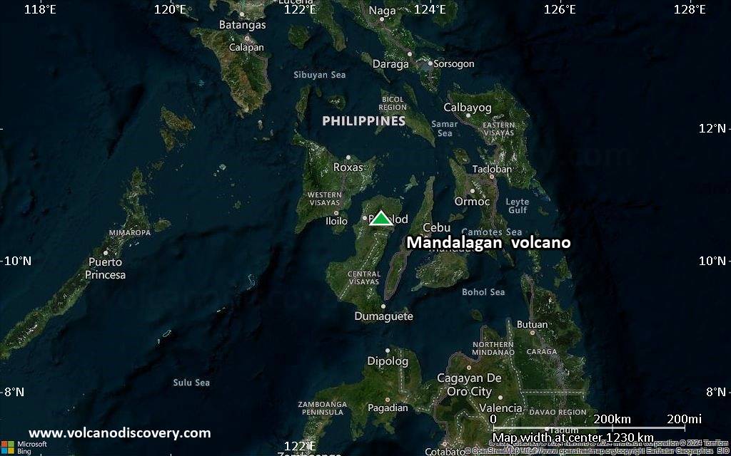
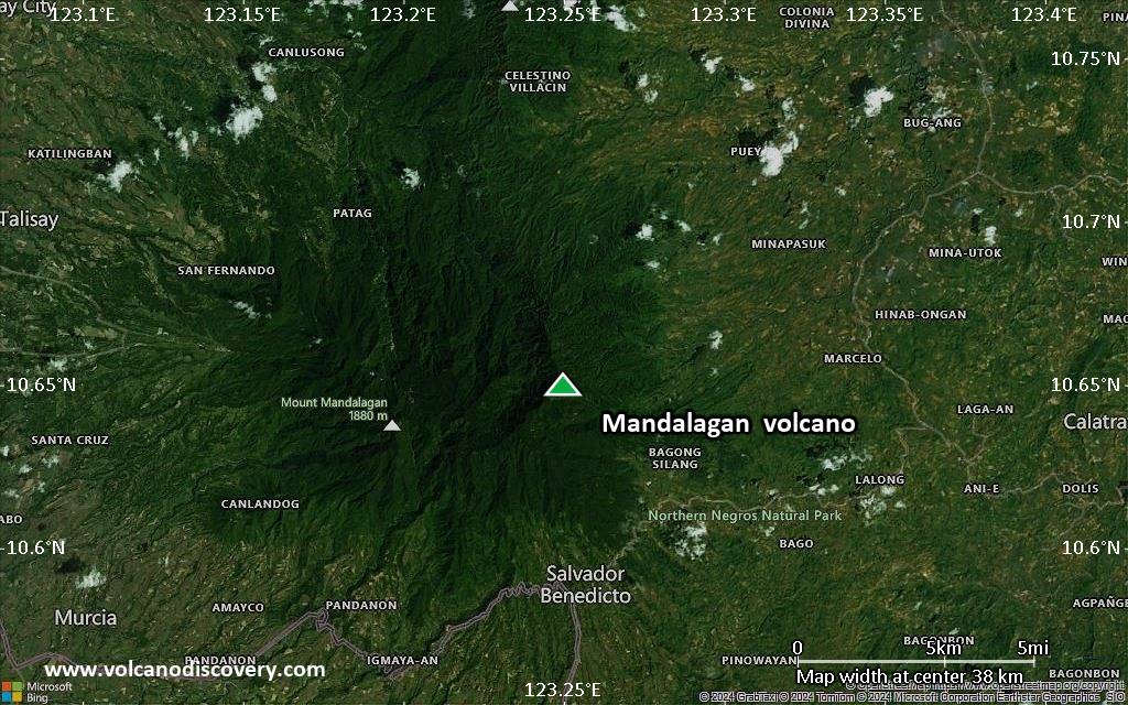
Satellite/aerial-type map of Mandalagan volcano (region scale medium)
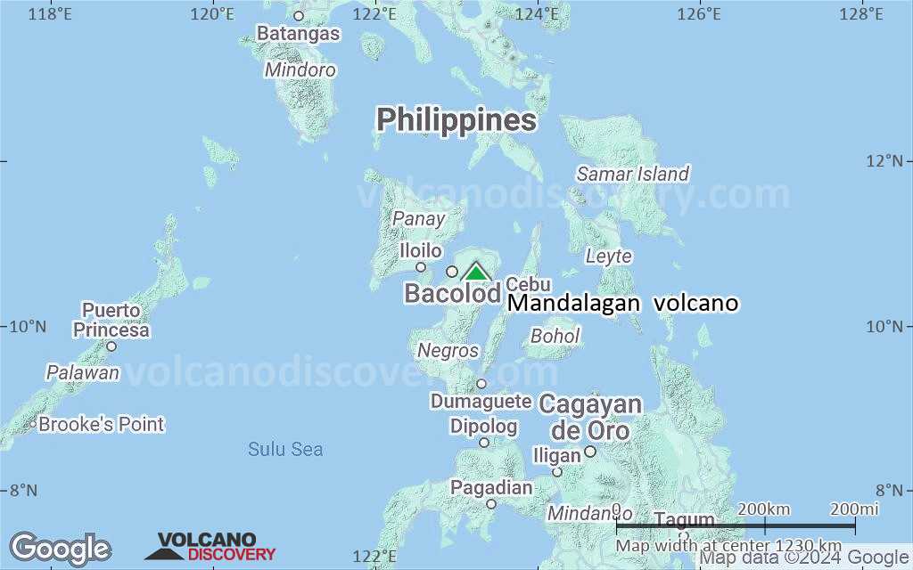
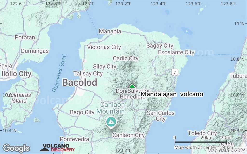
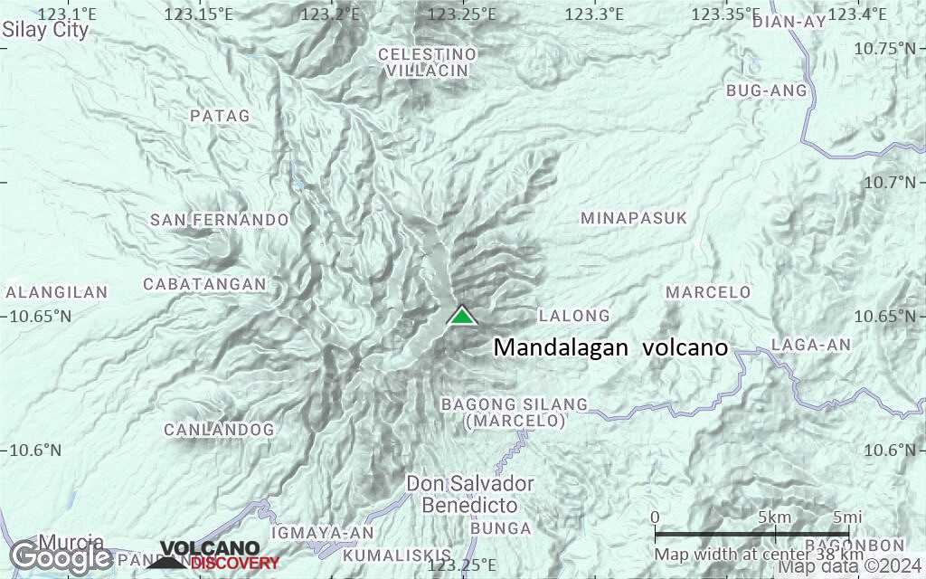
Terrain-type map of Mandalagan volcano (region scale medium)
Satellite/aerial-type map of Mandalagan volcano (region scale small)
Terrain-type map of Mandalagan volcano (region scale small)

Satellite/aerial-type map of Mandalagan volcano (local scale large)

Terrain-type map of Mandalagan volcano (local scale large)

Satellite/aerial-type map of Mandalagan volcano (local scale medium)
Terrain-type map of Mandalagan volcano (local scale medium)
Satellite/aerial-type map of Mandalagan volcano (local scale small)
Terrain-type map of Mandalagan volcano (local scale small)
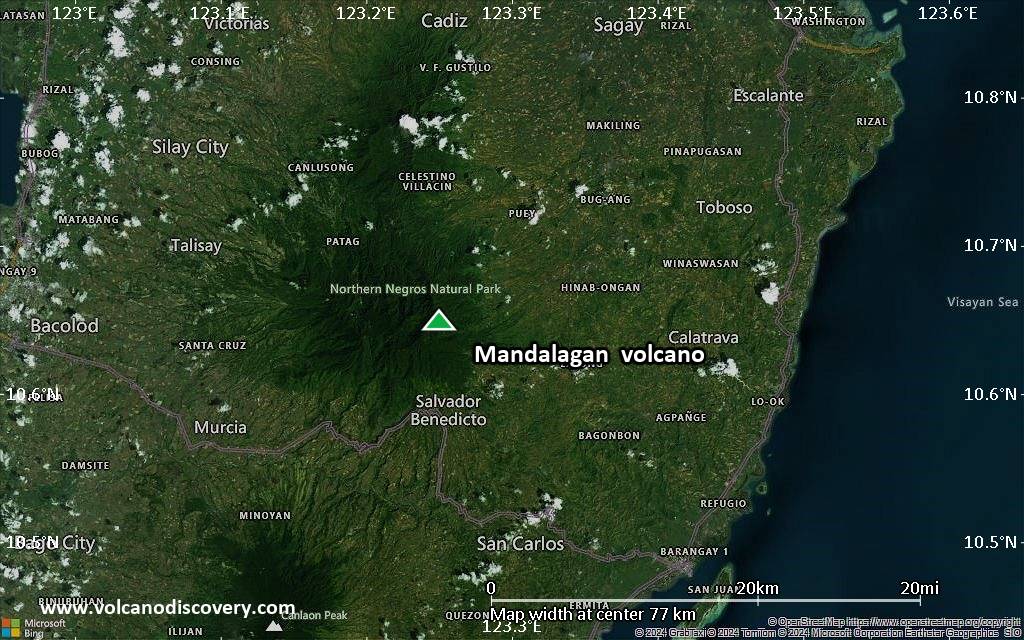
Satellite/aerial-type map of Mandalagan volcano (scale of 10s of km)

Terrain-type map of Mandalagan volcano (scale of 10s of km)
Satellite/aerial-type map of Mandalagan volcano (scale of 20-40 km)
Terrain-type map of Mandalagan volcano (scale of 20-40 km)
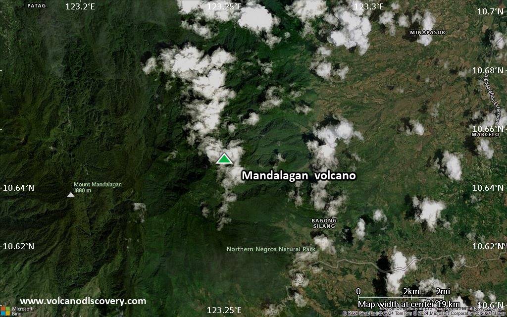
Satellite/aerial-type map of Mandalagan volcano (scale of approx. 10-20 km)

Terrain-type map of Mandalagan volcano (scale of approx. 10-20 km)
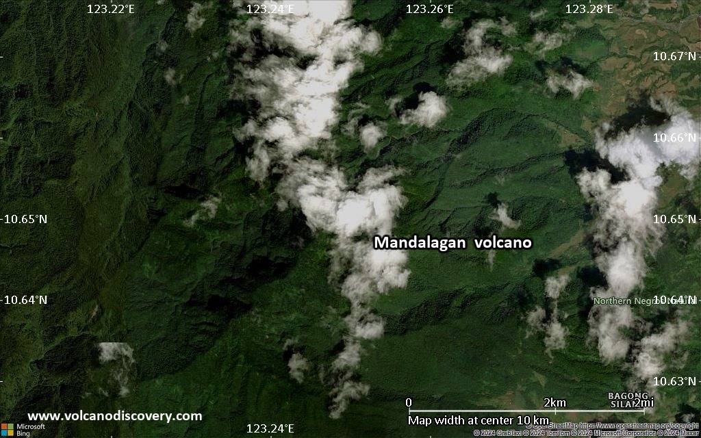
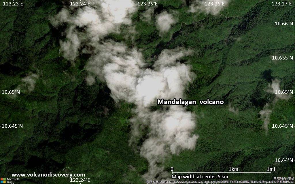
Satellite/aerial-type map of Mandalagan volcano (scale of 5-10 km)
Satellite/aerial-type map of Mandalagan volcano (scale of few kilometers)


