Embagai Volcano
Updated: Apr 27, 2025 03:42 GMT -
Caldera
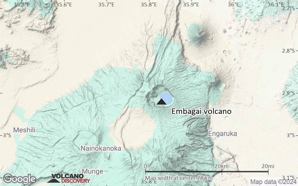
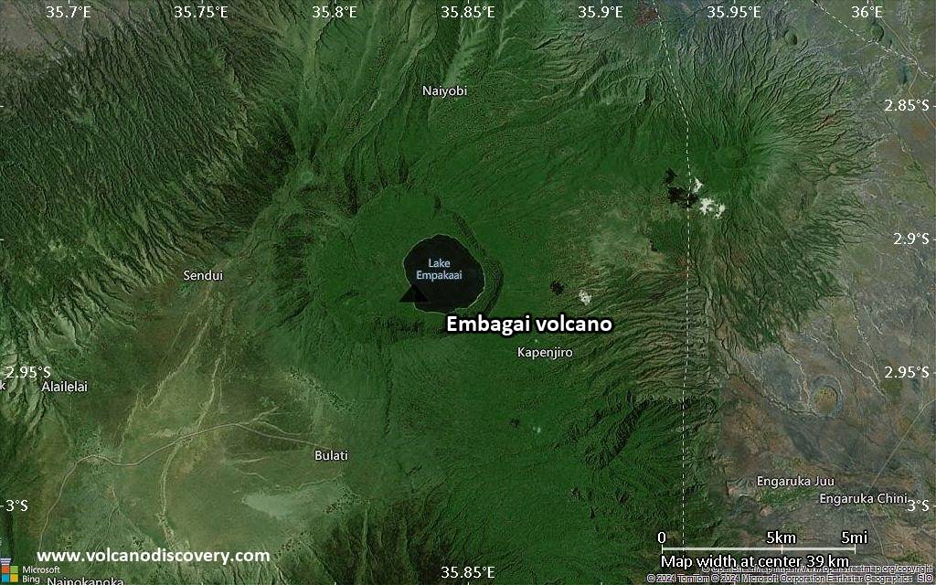
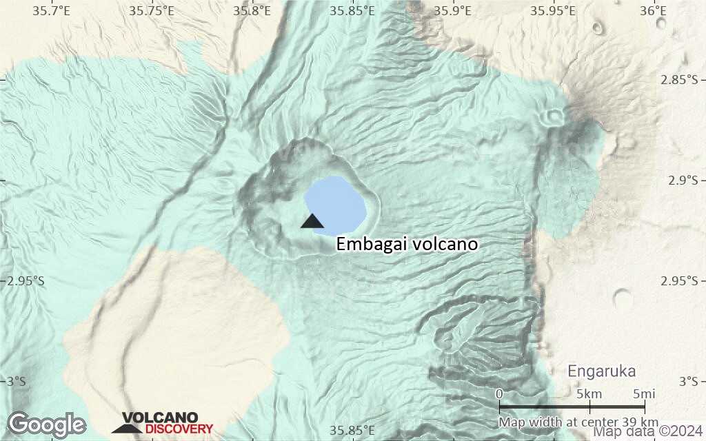
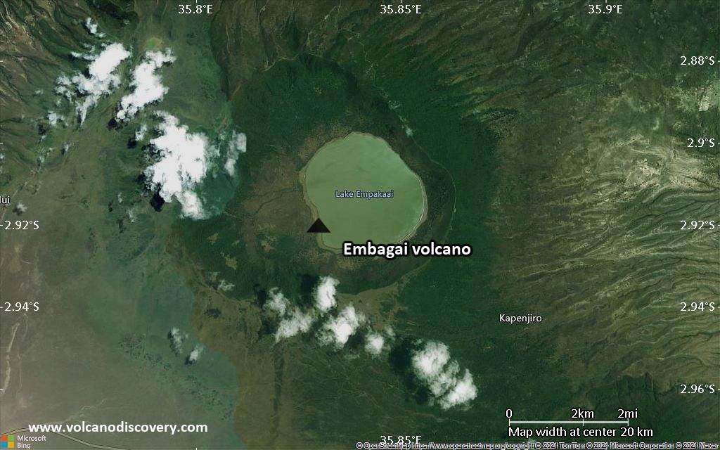
Tanzania, -2.92°S / 35.83°E 
Summit height: 3220 m / 10564 ft
Current status: (probably) extinct (0 out of 5)
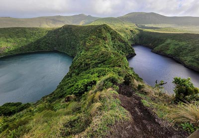
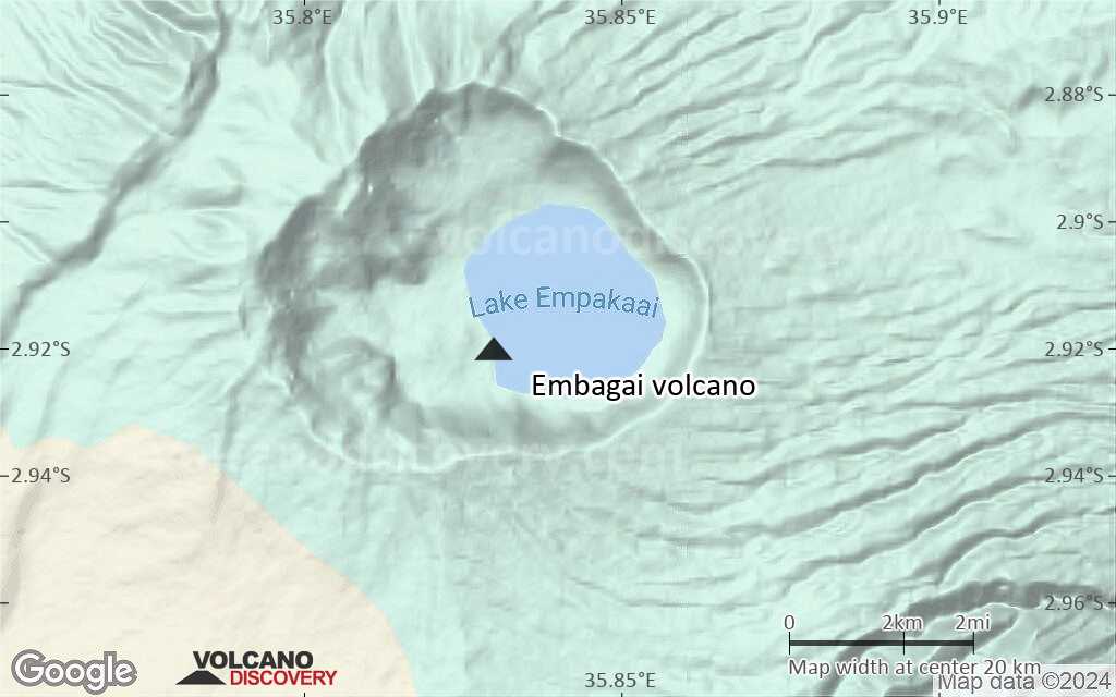
Embagai (also spelled Empakai) is an extinct volcano in the Tanzanian Rift valley near the famous Ngorongoro crater.
Its caldera is surrounded by steep, forested cliffs approx. 300 m high and contains a beautiful crater lake home to thousands of flamingos and other birds.
[smaller] [larger]
Embagai volcano eruptions: None during the past 10,000 years
Less than 2.58 million years ago (Pleistocene)
Latest nearby earthquakes
| Date and Time | Mag / Depth | Distance / Location | |||
|---|---|---|---|---|---|
Background
Included in a list of Quaternary volcanoes (Latter, 1975b).---
Smithsonian / GVP volcano information
Latest satellite images
Embagai Volcano Maps
Below is a selection of maps showing the location and surroundings of the volcano at various resolutions based on aerial-imagery / terrain maps. Feel free to use them for non-commercial purposes on your blog or website as long as you credit them with a link back to this page (click to copy it).
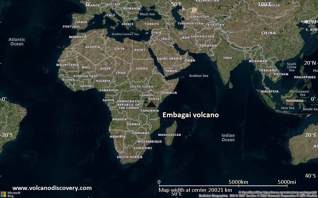
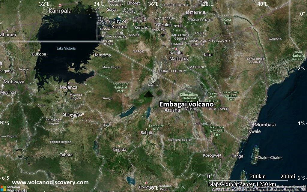
Satellite/aerial-type map of Embagai volcano (world scale)
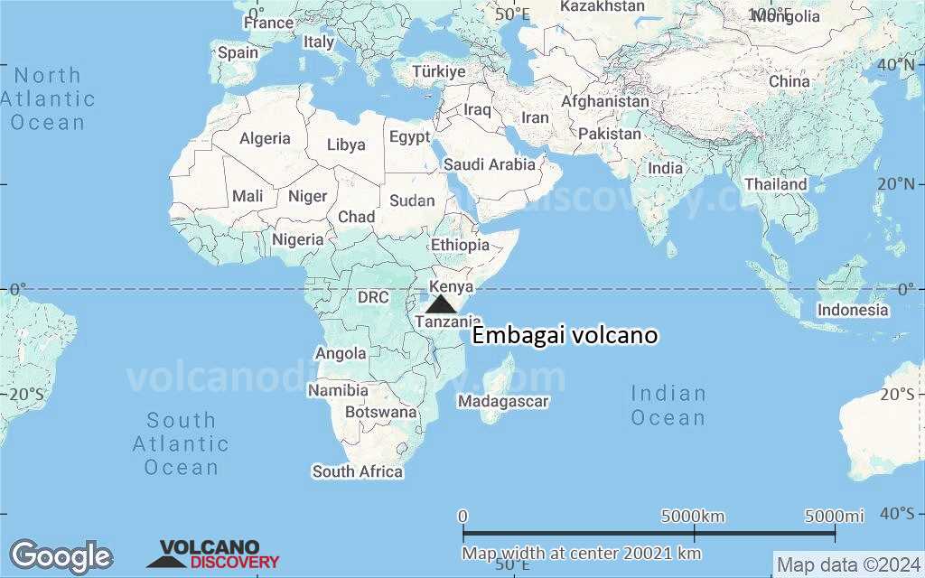
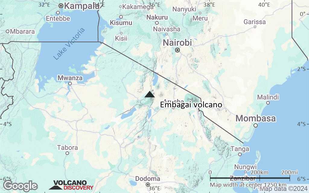
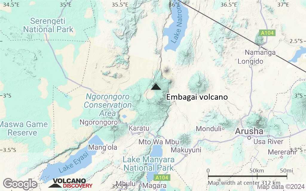
Terrain-type map of Embagai volcano (world scale)
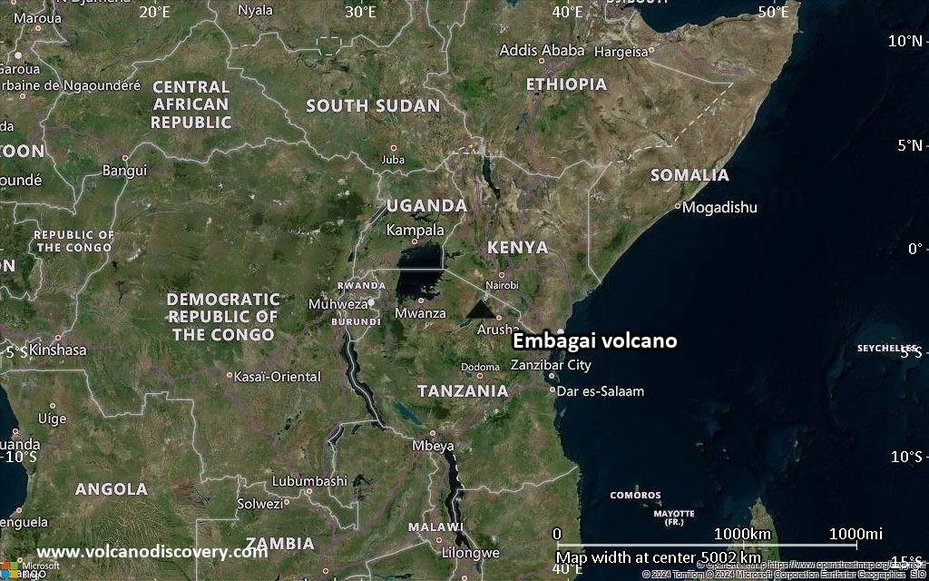
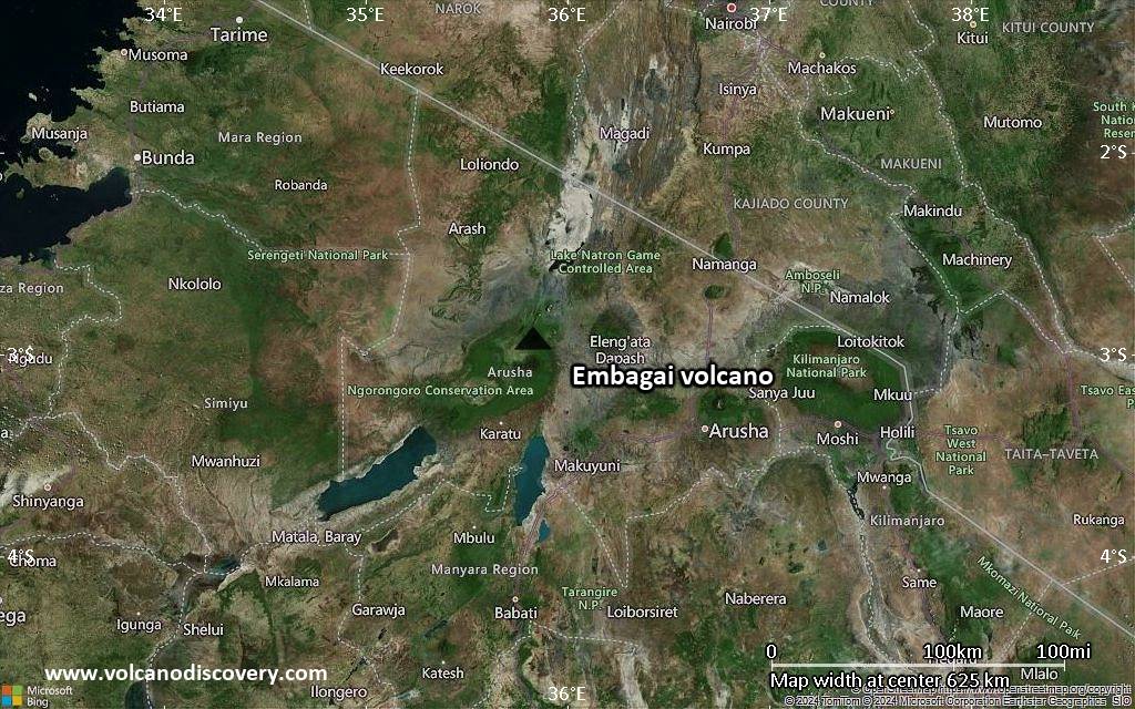
Satellite/aerial-type map of Embagai volcano (region scale large)

Terrain-type map of Embagai volcano (region scale large)
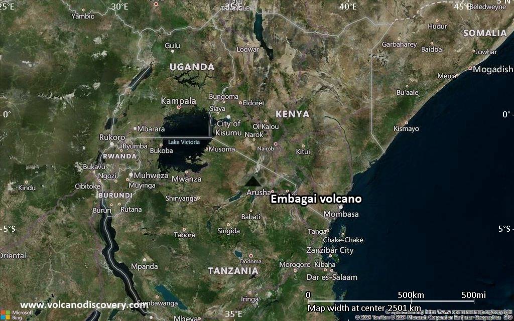
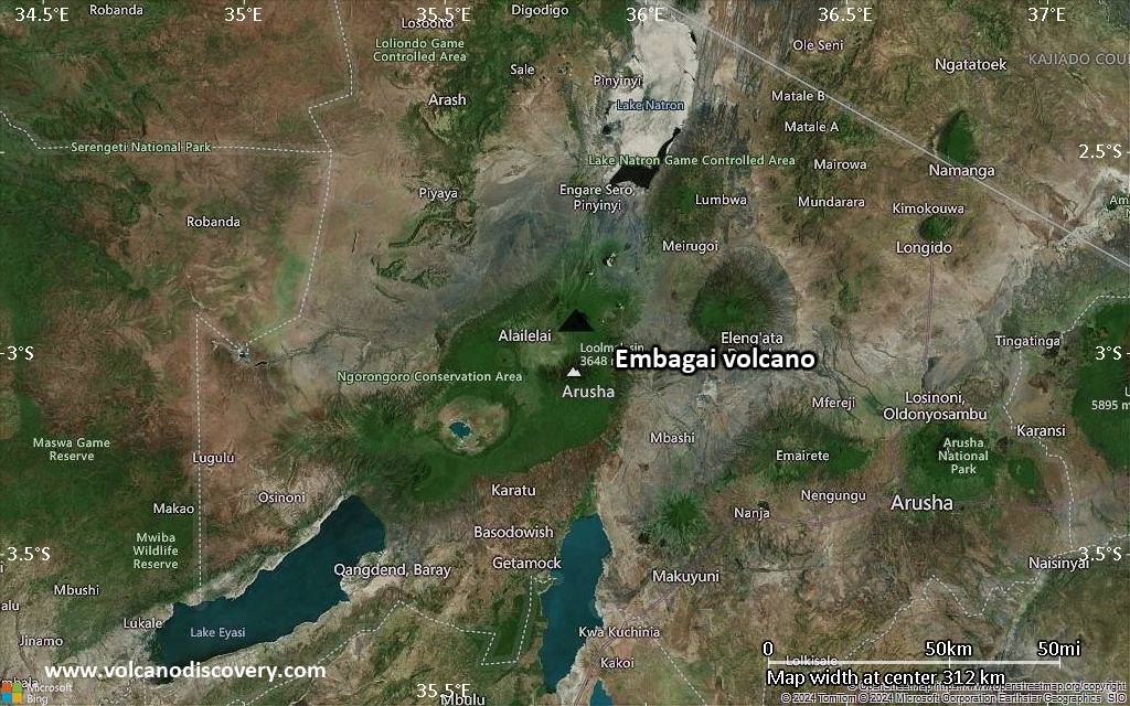
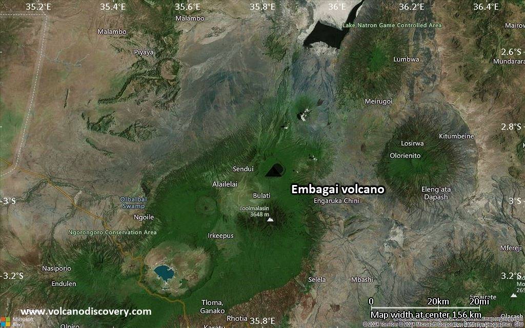
Satellite/aerial-type map of Embagai volcano (region scale medium)
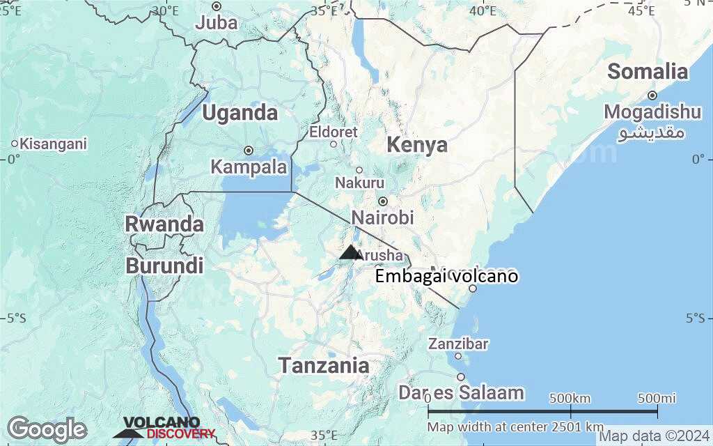
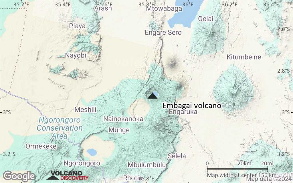
Terrain-type map of Embagai volcano (region scale medium)
Satellite/aerial-type map of Embagai volcano (region scale small)
Terrain-type map of Embagai volcano (region scale small)
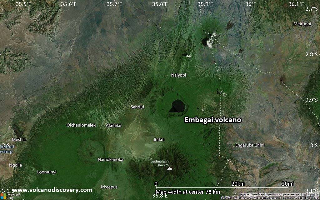
Satellite/aerial-type map of Embagai volcano (local scale large)

Terrain-type map of Embagai volcano (local scale large)
Satellite/aerial-type map of Embagai volcano (local scale medium)
Terrain-type map of Embagai volcano (local scale medium)
Satellite/aerial-type map of Embagai volcano (local scale small)
Terrain-type map of Embagai volcano (local scale small)
Satellite/aerial-type map of Embagai volcano (scale of 10s of km)
Terrain-type map of Embagai volcano (scale of 10s of km)
Satellite/aerial-type map of Embagai volcano (scale of 20-40 km)
Terrain-type map of Embagai volcano (scale of 20-40 km)
Satellite/aerial-type map of Embagai volcano (scale of approx. 10-20 km)
Terrain-type map of Embagai volcano (scale of approx. 10-20 km)

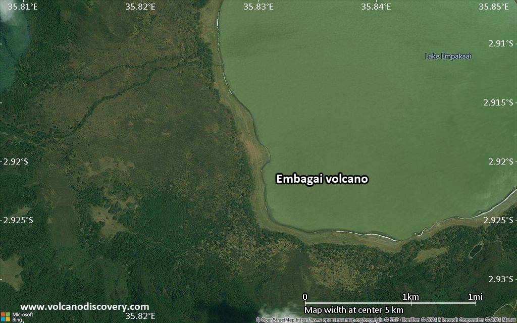
Satellite/aerial-type map of Embagai volcano (scale of 5-10 km)
Satellite/aerial-type map of Embagai volcano (scale of few kilometers)