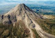
| RSS | EN | DE | EL | ES | FR | IT | RU

Dofen Volcano

Updated: Apr 1, 2025 07:20 GMT - 17 minutes ago refresh
shield volcano
Ethiopia, 9.35°N / 40.13°E
Summit height: 1151 m / 3,776 ft
Current status: minor activity or eruption warning (3 out of 5)
Last update: 5 Jan 2025
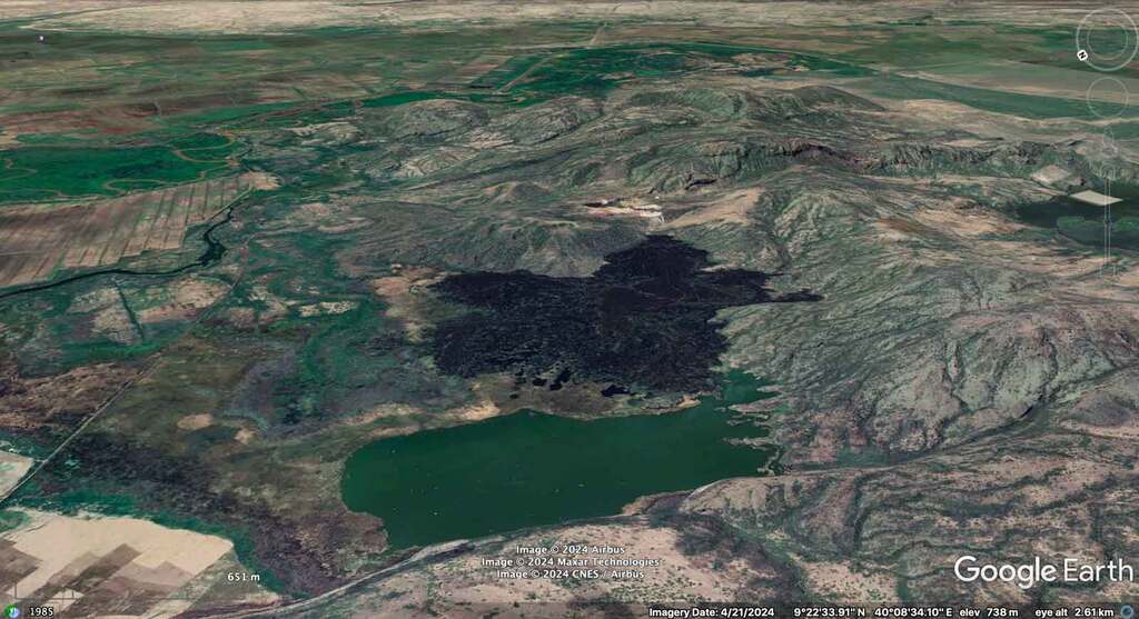
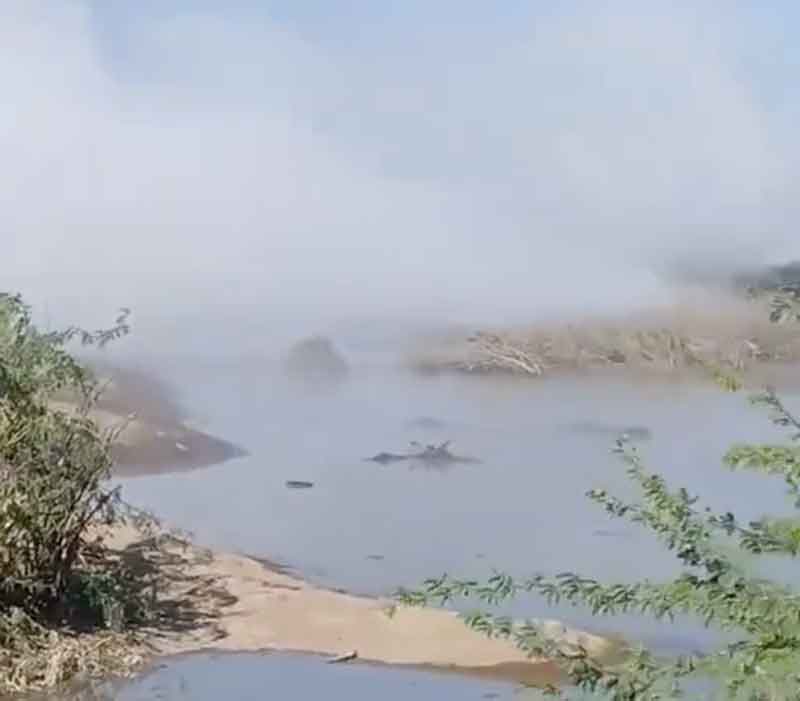
Google Earth view of Dofen volcano from the NW; the rift valley with parts of Awash National park behind.

Dofen mountain is a young shield volcano at the NW end of the Awash National park in the Ethiopian Rift valley. It consists of numerous cones and lava flows along a 10 km-long axis. While most of these are relatively old and strongly eroded, a large, young lava flow less than 10,000 years old on its NW side is evidence that the volcano is active.

[smaller] [larger]
Typical eruption style: effusive
Dofen volcano eruptions: unknown dates, less than 10,000 years ago

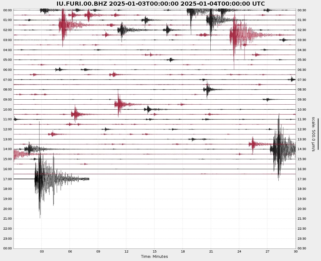
Latest nearby earthquakes

Background

Dofen, also called Dofane, is known as the "smoking mountain." It is a 1,151-m-high shield volcano with multiple cones that rise up to 450 m above the Awash plain in the northern Main Ethiopian Rift. Numerous cinder cones, constructed along a 10-km-long, N-S-trending line, dot the flanks of the dominantly rhyolitic volcano. The northern cones are younger, have well-preserved morphologies, and display strong fumarolic activity. A major fumarole in a wide south-flank crater has precipitated large amounts of sulfur. The latest eruptions of Dofen occurred during the Holocene (WoldeGabriel 1987, pers. comm.).
---
Smithsonian / GVP volcano information

Latest satellite images

dofen satellite image sat1dofen satellite image sat2

Dofen Volcano Maps

Below is a selection of maps showing the location and surroundings of the volcano at various resolutions based on aerial-imagery / terrain maps. Feel free to use them for non-commercial purposes on your blog or website as long as you credit them with a link back to this page (click to copy it).
Satellite/aerial-type map of Dofen volcano (world scale)
Terrain-type map of Dofen volcano (world scale)
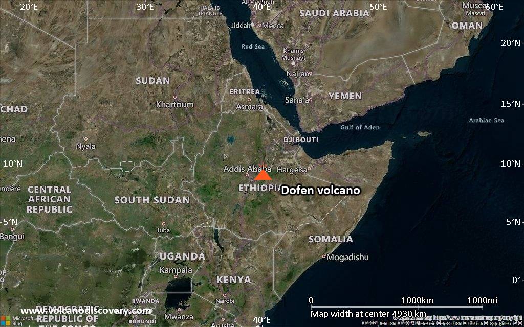
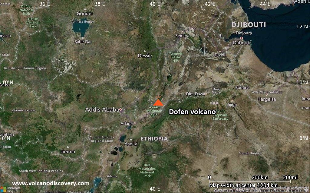
Satellite/aerial-type map of Dofen volcano (region scale large)
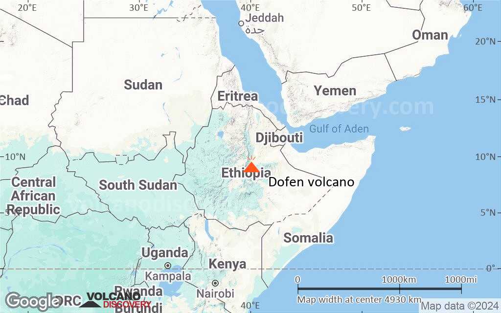
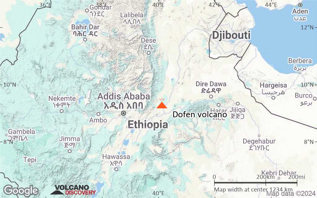
Terrain-type map of Dofen volcano (region scale large)
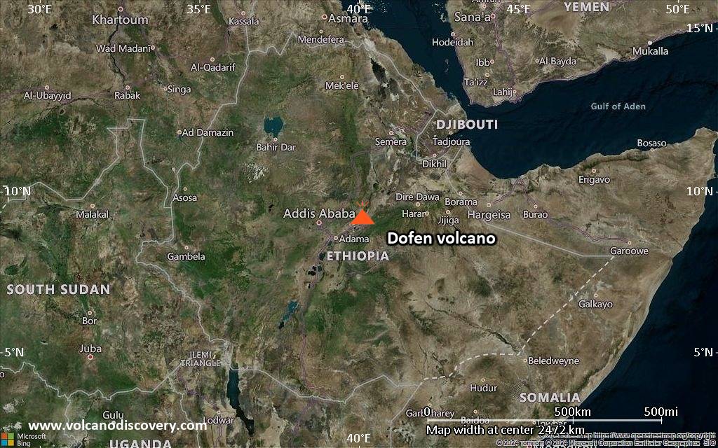
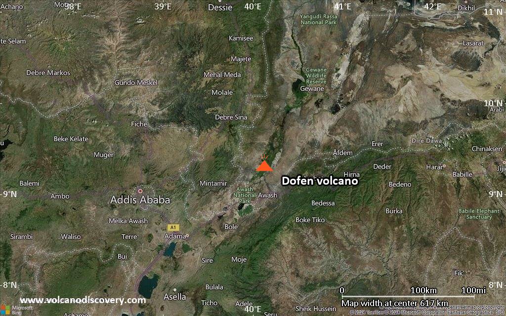
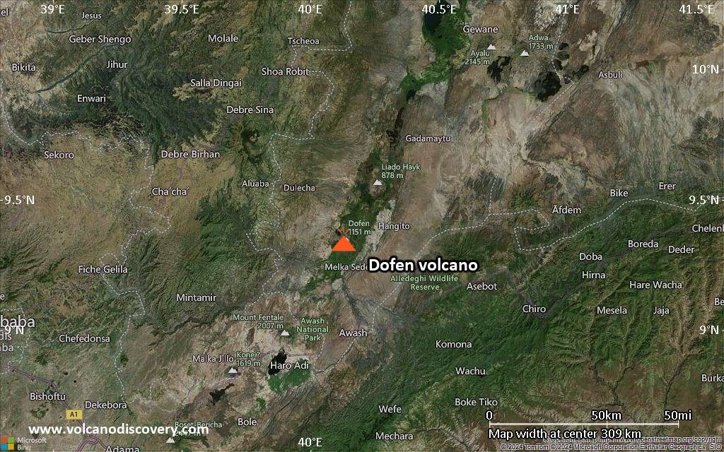
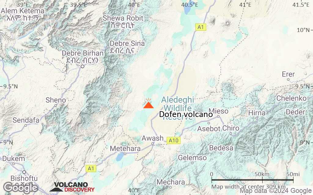
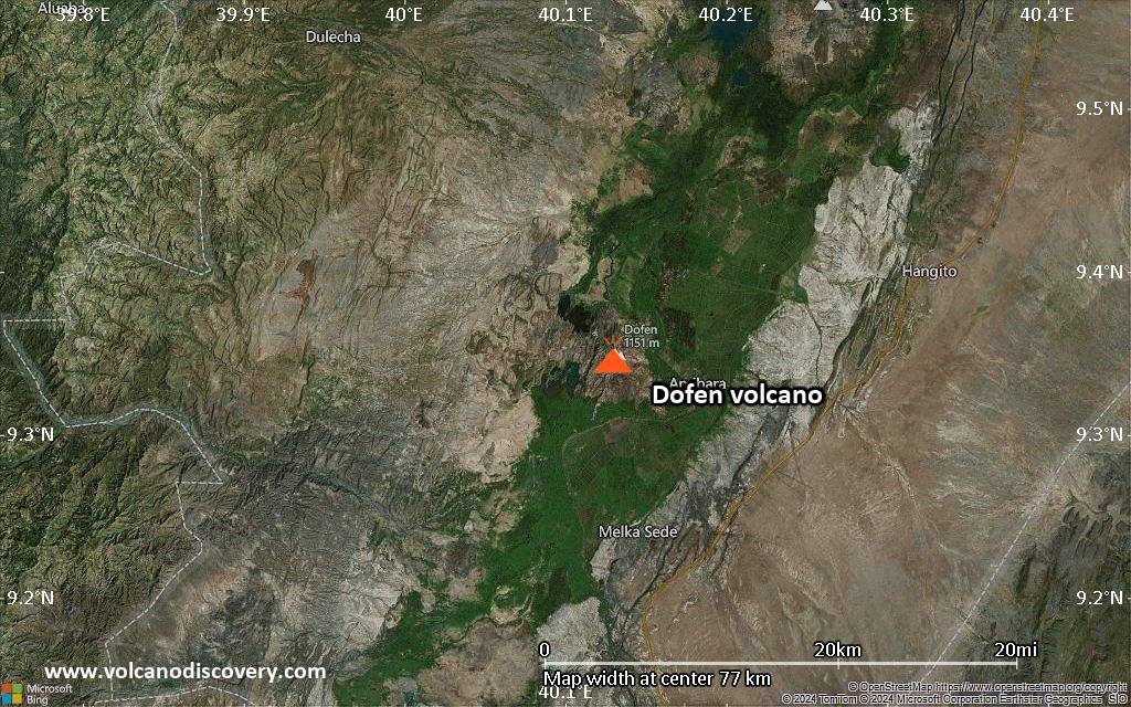
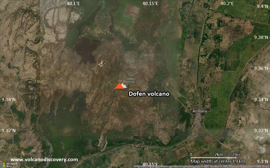
Satellite/aerial-type map of Dofen volcano (region scale medium)
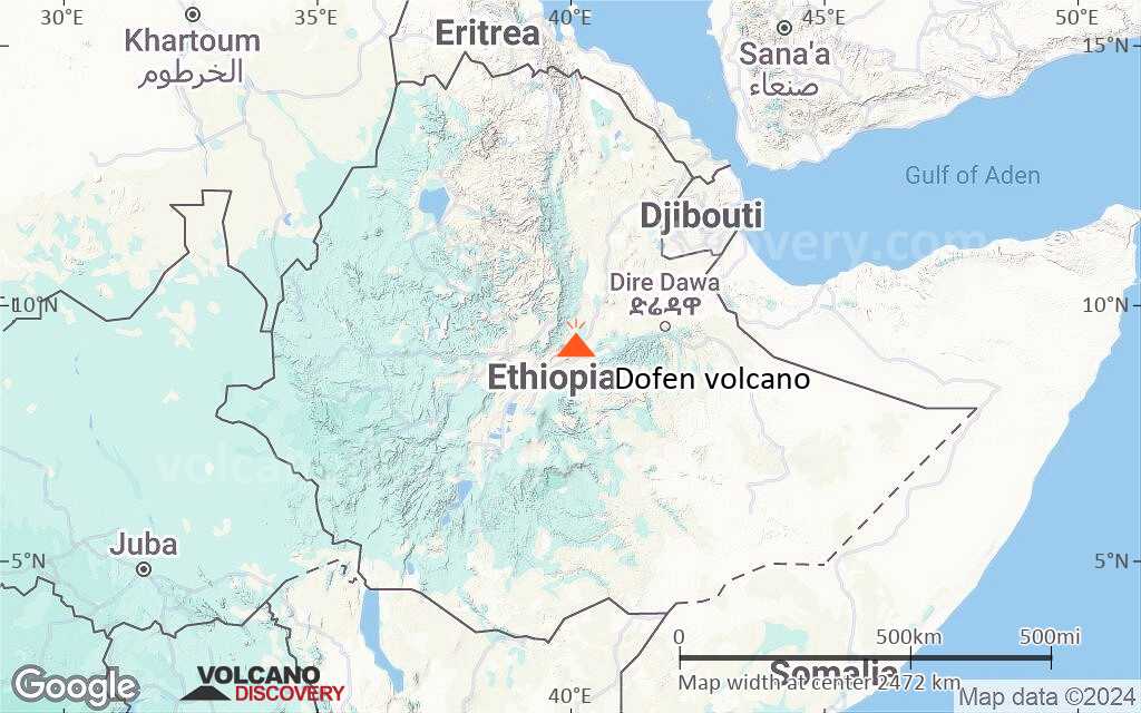
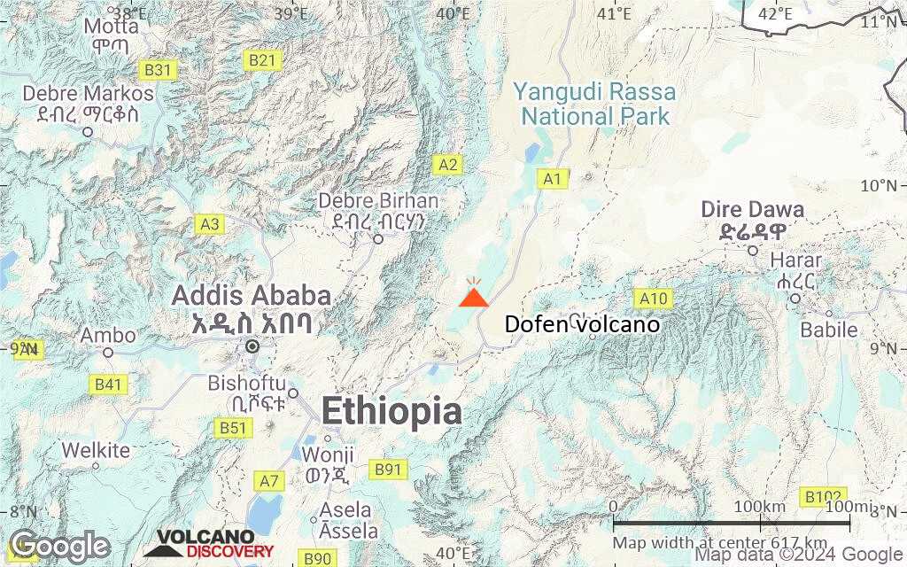
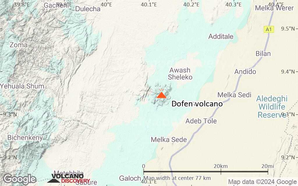
Terrain-type map of Dofen volcano (region scale medium)
Satellite/aerial-type map of Dofen volcano (region scale small)
Terrain-type map of Dofen volcano (region scale small)
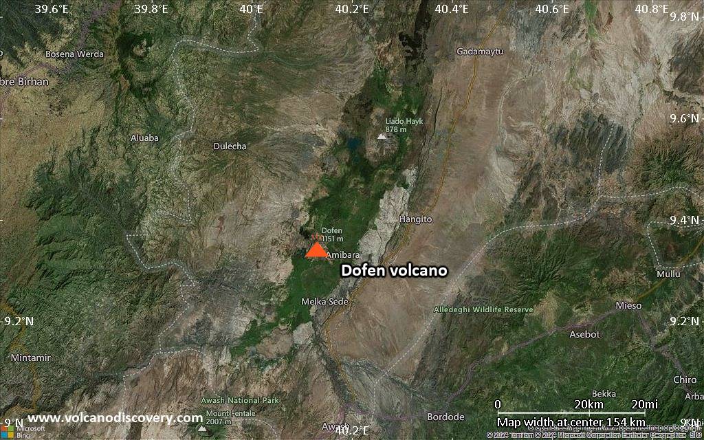
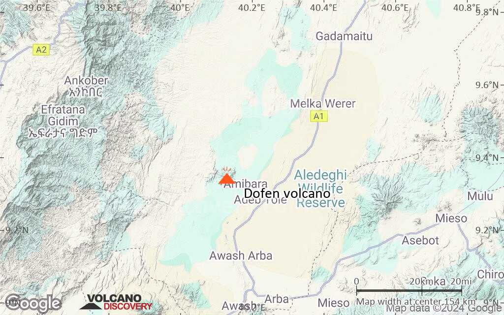
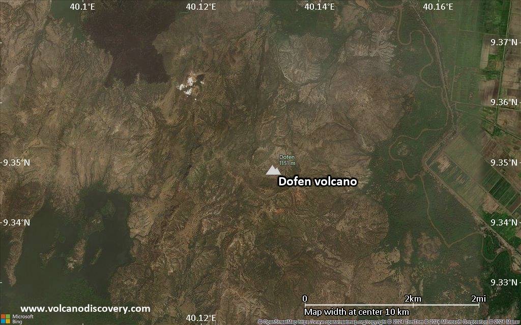
Satellite/aerial-type map of Dofen volcano (local scale large)
Terrain-type map of Dofen volcano (local scale large)
Satellite/aerial-type map of Dofen volcano (local scale medium)
Terrain-type map of Dofen volcano (local scale medium)
Satellite/aerial-type map of Dofen volcano (local scale small)
Terrain-type map of Dofen volcano (local scale small)
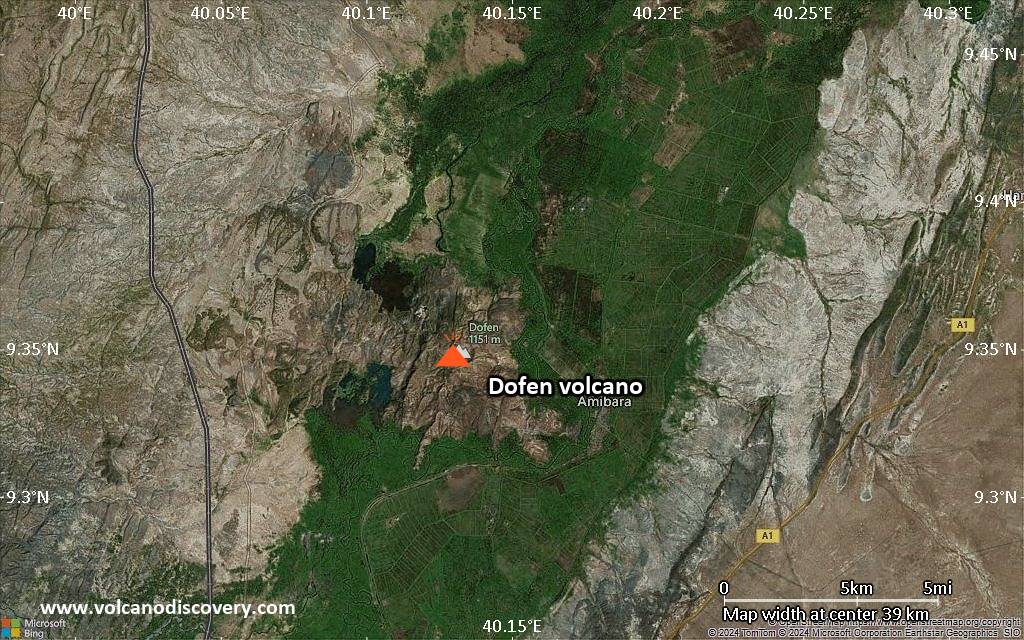
Satellite/aerial-type map of Dofen volcano (scale of 10s of km)
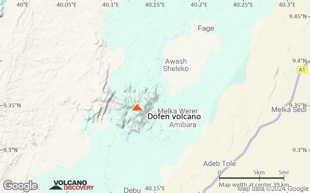
Terrain-type map of Dofen volcano (scale of 10s of km)
Satellite/aerial-type map of Dofen volcano (scale of 20-40 km)
Terrain-type map of Dofen volcano (scale of 20-40 km)
Satellite/aerial-type map of Dofen volcano (scale of approx. 10-20 km)
Terrain-type map of Dofen volcano (scale of approx. 10-20 km)
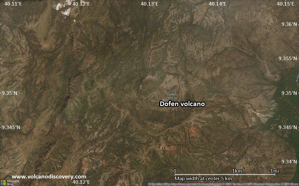
Satellite/aerial-type map of Dofen volcano (scale of 5-10 km)
Satellite/aerial-type map of Dofen volcano (scale of few kilometers)
Volcanoes & Earthquakes - new app for Android
Guaranteed tours
6-19 Apr 2025: Desert, salt and volcanoes - Danakil desert (Ethiopia)
12-19 Apr 2025: Europe's Volcanic Outpost - Canary Islands
9-25 Jun 2025: Volcanoes and Spices - Sulawesi/Halmahera (Indonesia)
27 Jun - 6 Jul 2025: Iceland Volcano Special - Iceland
7-23 Jul 2025: Volcanoes and Spices - Sulawesi/Halmahera (Indonesia)
1-17 Aug 2025: Volcanoes and Spices - Sulawesi/Halmahera (Indonesia)
13-26 Sep 2025: Green Volcanoes - Azores (Portugal)
1-14 Oct 2025: Desert, salt and volcanoes - Danakil desert (Ethiopia)
4-12 Oct 2025: From Stromboli to Etna - Sicily and Eolian Islands (Italy)
= spaces available   = guaranteed   = few spaces left   = booked out
Sat, 4 Jan 2025, 12:05

Dofen volcano (Ethiopia): seismic-volcanic crisis continues - will it erupt?

A steaming lake has formed around the new vent observed a few days ago at Dofen volcano (image: Naty Berhane Yifru @NatyYifru / X.com)
The crisis continues to escalate and chances of magma breaking through the surface in a potentially dangerous new eruption in the Awash area increase by the day. ... Read all
Fri, 3 Jan 2025, 17:15

Dofen volcano update: Earthquakes continue

Earthquakes in the Afar region 3 Jan 2025 so far, recorded by the FURI seismic station 200 km to the west of Awash (larger signals correspond to mag 4-5 quakes, plus many smaller ones visible)
Strong earthquakes continue to hit the area. Another quake, probably around magnitude 5, was reported minutes ago and is visible on the seismic recordings: ... Read all

On this page:

Why is there advertising on this site?
Sources: VolcanoDiscovery / VolcanoAdventures and other sources as noted.
Use of material: Most text and images on our websites are owned by us. Re-use is generally not permitted without authorization. Contact us for licensing rights.
Volcanoes & Earthquakes
VolcanoDiscovery Home
Volcanoes | Earthquakes | Photos | Volcano News | App
Adventure & Study Travel
Tours to Volcanoes and Volcanic Areas: walking tours, photo tours, study tours
Tours & Dates | FAQ | About us
Get our newsletter!
Company info
Contact | Legal info | Terms & conditions
Follow us
Follow us on facebook Follow us on Instagram Follow us on Bluesky Follow us on Twitter Visit our Youtube channel
EN | DE | EL | ES | FR | IT | RU
VolcanoDiscovery GmbH, Germany, Reg. nr.: HRB 103744, EU Tax Id: DE 297 465 123 owned and created by
Dr. Tom Pfeiffer, volcanologist, volcano photographer, tour organizer member of
IAVCEI
IAVCEI
Vulkanologische Gesellschaft
Volcanological Society
Ecotourism Greece
Ecotourism Greece
RUV insurance
Insured by R+V
VolcanoDiscovery © 2004-2025 All Rights Reserved | Privacy - Cookie Settings