


Canlaon Volcano
Canlaon volcano (also spelled Kanlaon) on Negros Island is one of the most active volcanoes of the Philippines and the most active one of the Central Philippines. It forms the highest peak of Negros Island and is located west of Canlaon about 36 km southeast of Bacolod City and belongs to Canlaon National Park.
Canlaon volcano eruptions: 2016, 2015, 2006, 2005, 2003, 2002, 1996, 1993, 1992, 1989, 1988, 1987, 1986, 1985, 1980, 1978, 1970, 1969, 1932-33, 1927, 1905-06, 1904, 1902, 1894, 1893, 1884, 1883, 1866
Latest nearby earthquakes
| Date and Time | Mag / Depth | Distance / Location | |||
|---|---|---|---|---|---|
| Apr 16, 12:31 am (GMT +8) | 2.7 1 km | 7 km (4.4 mi) to the NW | Info | ||
| Thursday, April 10, 2025 GMT (1 quake) | |||||
| Apr 10, 12:47 am (Universal Time) | 2.5 13 km | 13 km (7.8 mi) to the S | Info | ||
| Monday, April 7, 2025 GMT (1 quake) | |||||
| Apr 8, 05:50 am (Manila) | 3.2 3 km | 3.2 km (2 mi) to the N | Info | ||
Background
Canlaon, part of the Negros Volcanic Belt, is a large stratovolcano dotted with numerous flank cones and craters, many of which contain lakes.The summit of Kanlaon contains a 2-km-wide, elongated caldera with two craters. One is inactive and contains a crater lake. The second crater to the south is smaller, higher and contains the historically active vent, Lugud crater. Lugud crater is 250 m wide and 150-200 m deep. The base of Kanlaon measures an area of 30 km x 14 km.
Historical eruptions from Kanlaon have been recorded since 1866. Most historic eruptions were small to medium sized phreatic explosions, causing minor ash fall near the volcano. Canlaon's geologic record of past deposits include a remarkable large debris avalanche, that resulted from flank failure of the volcano and traveled 33 km to the SW.
Significant volcanic eruptions: Canlaon volcano
| Date | Note | VEI | Deaths | Damage | |
|---|---|---|---|---|---|
Historical obs./docs. | ? | ||||
Historical obs./docs. | 3 | ||||
| 2024 Jun 3 (eruption | Historical obs./docs. | 0 | light | Info | |
| Lugud crater Historical obs./docs. | 2 | ||||
| Lugud crater Historical obs./docs. | 2 | ||||
Historical obs./docs. | 2 | ||||
Historical obs./docs. | 2 | ||||
Historical obs./docs. | 1 | ||||
Historical obs./docs. | 1 | ||||
Historical obs./docs. | 2 | ||||
Historical obs./docs. | 2 | 3 | Info | ||
Historical obs./docs. | 2 | ||||
Historical obs./docs. | 2 | ||||
Historical obs./docs. | 1 | ||||
Historical obs./docs. | 2 | ||||
Historical obs./docs. | 2 | ||||
Historical obs./docs. | 1 | ||||
Historical obs./docs. | 1 | ||||
Historical obs./docs. | 2 | ||||
Historical obs./docs. | 1 | ||||
Historical obs./docs. | 1 | ||||
Historical obs./docs. | 2 | ||||
Historical obs./docs. | 2 | ||||
Historical obs./docs. | 1? | ||||
Historical obs./docs. | 2 | ||||
Historical obs./docs. | 2 | ||||
Historical obs./docs. | 2 | ||||
Historical obs./docs. | 2 | ||||
Historical obs./docs. | 2 | ||||
Historical obs./docs. | 2 | ||||
Eruptions of Canlaon volcano
A large increase in volcanic earthquakes occurred at Kanlaon volcano, Philippines, in late August 2009. Between 23 August and 1 September, 257 earthquakes were recorded, much more than normal levels of 0-4 tremors per day.
2 earthquakes were felt by residents living near Canlaon. At 17:26 PM on 23 August an earthquake was felt at Intensity II in Barangay Ara-al, La Carlota City. A second earthquake at 22:27 PM on 30 August 30 was felt at Intensity III in La Castellana and at Intensity IV in La Carlotta City and Bago City.
The epicenters of the earthquakes were concentrated at the NW slope of the volcano and probably indicated the reactivation of a local fault, perhaps caused by deep magma movements under the surface. No other changes of the volcano were observed and the alert status was not raised by Philippine authorities.
---
Source:
Philippine Institute of Volcanology and Seismology (PHIVOLCS)
A significant increase of earthquakes at Canlaon volcano occurred between 7-10 February 2008, and the alert level was temporarily raised and a 4 km exclusion zone was established around the volcano. The alert was later dropped, as no other changes at the volcano occurred that might have suggested new activity.
A series of new eruptions at Kanlaon volcano began on 3 June 2006. Until 25 July, a total of 23 ash eruptions were reported. All eruptions were phreatic (i.e. no fresh magma was ejected), and ejected ash and steam up to 2 km above the crater.
No significant seismic activity had occurred before or after the ash emissions, indicating the explosions were near surface hydrothermal events.
---
Source: GVP monthly activity report for Kanlaon
A brief phreatic ash eruption occurred at Canlaon volcano on 21 January 2005, producing a 500 m high ash plume. A fine layer of ash fell on the town of Cabagnaan 5.5 km SW of the crater.
Ash emissions began again on 20 March and caused minor ash fall in the town of Guintubdan 5 km W of the volcano. Until 4 April, occasional ash eruptions reached 1 km above the volcano, and small ash fall was reported in the towns of La Castellana (16 km SW of the crater), Upper Sag-ang, Yubo (5-6 km SW), and Guintubdan (5-6 km WNW). Ash eruptions stopped after 25 May 2005.
(Source: GVP monthly reports)
On 17 March 2003, a gray volcanic plume was observed above Canloaon volcano. Small eruptions produced plumes of steam and ahs rising 100 m above the active crater during the beginning of June. On 8 June, ashfall was observed at Canlaon City. A total of 46 minor ash ejections were recorded, mostly in June and July. After 23 July, only weak steam emission was noted and seismic activity returned to normal low levels.
An increase in seismicity during February-April 2002 was followed by a raised alert, increased steaming, and a small ash eruption on 28 November 2002.
A phreatic explosion at Canlaon volcano on 10 August 1996 killed 3 people who were at the summit when the explosion happened. 18 people were injured by falling blocks and had to be hospitalized.
Small phreatic explosions occurred at Canlaon volcano on 25 August and 3 September 1993. The eruption on 3 September lasted for 8 minutes and produced a steam-and-ash column that rose 1,000 m above the summit before drifting SSW and SSE. Ash fell at the Canlaon Volcano Observatory 8 km SSE of the summit. The phreatic eruption was accompanied by an earthquake felt at the Cabagnaan Station.
Source: GVP monthly reports
A minor earthquake accompanied an ash eruption at Kanlaon volcano on 10 June 1992.
Since 25 October 1989 mildly explosive ash ejections occurred almost daily. The eruptions lasted until December 1989. On 3 November, a relatively large eruption produced an ash p0lume rising 1200 m above the crater. PHILVOLCS scientists had detected ground inflation a few hours before the ash emissions.
A series of ash emissions occurred between 21-27 June 1988 and produced plumes of up to 500 m high. Small amounts of ash fell in the village of Mananawin on the SE slope at 980 m elevation.
New euptions started at Kanlaon volcano in April 1987. On the morning of 24 April an eruption produced a fresh ash deposit ~1-2 km wide and 6.5 km long that extended down the SW flank.
There was no seismic signal associated with the explosions and no sounds heard by local residents. A sulfur smell was reported from the Cabagnaan Observatory (approximately 6 km SW of the crater) on the same day.
The activity was preceded by an increase in sulphate concentrations at Mambucal Aquapool, Mudpool, and Sulfur Spring, 9.75 km NNW of Kanlaon's summit.
---
Source: GVP monthly reports
Without any preceding seismic activity, Canlaon had a small eruption on 3 June 1986, producing a plume of 300 m above the crater.
19 days later, on 21 June, a powerful explosion occurred sending a mushroom-shaped plume to 4000 m above the crater. The eruption was accompanied by an earthquake felt at up to 8 km from the summit, as well as booming and hissing noises.
Canlaon Volcano FAQ
+When was the last eruption of Canlaon volcano?
The last confirmed eruption of Canlaon occurred in 2024.
+How often does Canlaon volcano erupt?
Since 1866, Canlaon volcano has had at least 31 historically documented eruptions. This means that it erupts on average every 5.1 years.
+How active is Canlaon volcano at present?
Canlaon volcano is relatively active: Since 1900, it has had 28 eruptions, and been active during 28 years out of 126 as of now. This means, Canlaon has been in eruption one in 4.5 years on average. The last eruption was in 2024 and ended 4 months ago.
+When was the largest eruption of Canlaon volcano?
The largest eruption of Canlaon volcano in historic times occurred in 2024. It ranks as a "vulcanian" eruption with a magnitude 3 on the VEI (Volcanic Explosivity Index) scale.
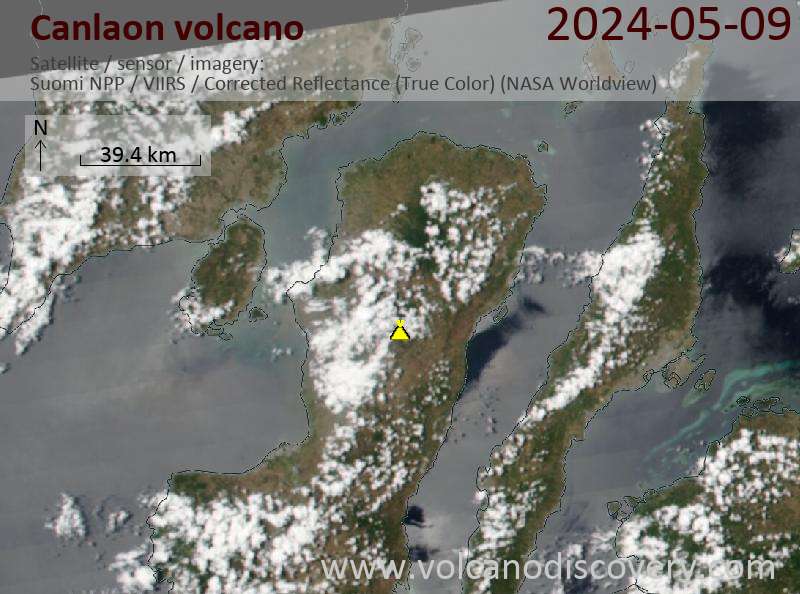
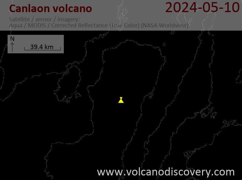
Latest satellite images
Canlaon Volcano Maps


