


Cabalian Volcano
Updated: Nov 28, 2025 09:41 GMT -
stratovolcano
Central Philippines (Philippines), 10.29°N / 125.22°E 
Summit height: 945 m / 3,100 feet
Current status: normal or dormant (1 out of 5)
Mount Cabalían volcano is located on the SE tip of Leyte Island, Philippines. It is is an andesitic stratovolcano with steep radial erosion valleys and ridges that are moderately to thickly vegetated.
It contains a summit crater filled by a lake. The crater rim is irregular and forms 2 peaks on the S side. A recent pyroclastic flow deposit was radiocarbon dated to be only about 150 years old. Hot springs with temperatures of up to 64 deg C are found on the east and west flanks of Cabalían.
[smaller] [larger]
Cabalian volcano eruptions: 1820 AD ± 30 years (radiocarbon dated)
Latest nearby earthquakes
| Date and Time | Mag / Depth | Distance / Location | |||
|---|---|---|---|---|---|
| Nov 23, 09:57 am (Universal Time) | 2.5 1 km | 12 km (7.2 mi) to the N | Info | ||
Significant volcanic eruptions: Cabalian volcano
No historic eruptions are known from Cabalian volcano, but at least one eruption around 1820 can be inferred from geological evidence.
The table below lists all known eruptions (date in bold face) of Cabalian volcano in historic times and during the past 10,000 years. Updates on the most recent volcanic activity of Cabalian can be found on the news page of Cabalian volcano.
| Date | Note | VEI | Deaths | Damage | |
|---|---|---|---|---|---|
| ? | |||||
Remark:
Our list of volcanic eruptions closely follows the database of eruptions of the Smithsonian's Global Volcanism Project (GVP), the internationally most recognized data source for volcanic eruptions, but also includes significant eruptive episodes or related volcano events. "Volcanic eruptions" are usually to be understood as sequences of individual eruptive episodes that can follow each other, or even overlap (if several vents are involved), and can last many years, decades or even longer. For example, the current activity of Stromboli volcano is understood as a single eruption that has been ongoing since 1934.
Sources: NOAA National Centers for Environmental Information (NCEI), Global Significant Volcanic Eruptions Database. doi:10.7289/V5TD9V7K | Global Volcanism Project / Smithsonian Institution
Cabalian Volcano FAQ
+When was the last eruption of Cabalian volcano?
The last confirmed eruption of Cabalian occurred around 1820.
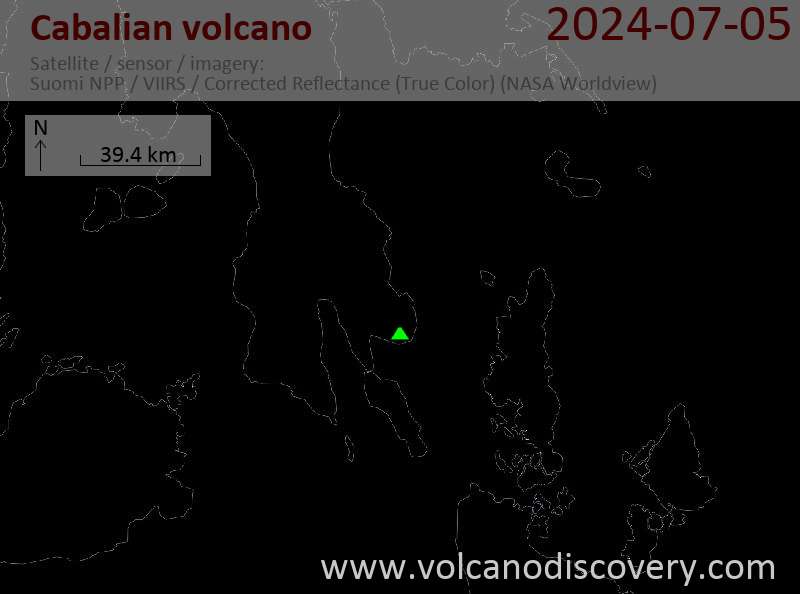
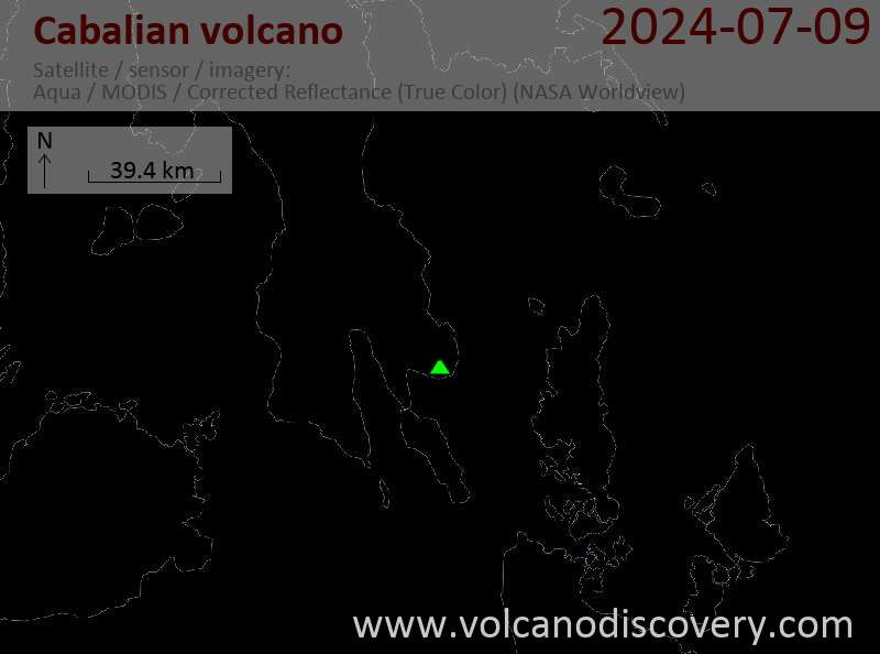
Latest satellite images
Cabalian Volcano Maps
Below is a selection of maps showing the location and surroundings of the volcano at various resolutions based on aerial-imagery / terrain maps. Feel free to use them for non-commercial purposes on your blog or website as long as you credit them with a link back to this page (click to copy it).

Satellite/aerial-type map of Cabalian volcano (world scale)

Terrain-type map of Cabalian volcano (world scale)

Satellite/aerial-type map of Cabalian volcano (region scale large)

Terrain-type map of Cabalian volcano (region scale large)

Satellite/aerial-type map of Cabalian volcano (region scale medium)

Terrain-type map of Cabalian volcano (region scale medium)

Satellite/aerial-type map of Cabalian volcano (region scale small)

Terrain-type map of Cabalian volcano (region scale small)

Satellite/aerial-type map of Cabalian volcano (local scale large)

Terrain-type map of Cabalian volcano (local scale large)

Satellite/aerial-type map of Cabalian volcano (local scale medium)

Terrain-type map of Cabalian volcano (local scale medium)

Satellite/aerial-type map of Cabalian volcano (local scale small)

Terrain-type map of Cabalian volcano (local scale small)

Satellite/aerial-type map of Cabalian volcano (scale of 10s of km)

Terrain-type map of Cabalian volcano (scale of 10s of km)

Satellite/aerial-type map of Cabalian volcano (scale of 20-40 km)

Terrain-type map of Cabalian volcano (scale of 20-40 km)

Satellite/aerial-type map of Cabalian volcano (scale of approx. 10-20 km)

Terrain-type map of Cabalian volcano (scale of approx. 10-20 km)

Satellite/aerial-type map of Cabalian volcano (scale of 5-10 km)

Satellite/aerial-type map of Cabalian volcano (scale of few kilometers)


