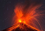
Banahaw Volcano
Updated: Mar 26, 2025 04:34 GMT -
complex volcano
Luzon Island (Philippines), 14.07°N / 121.48°E 
Summit height: 2158 m / 7,080 ft
Current status: normal or dormant (1 out of 5)
Banahaw volcano is a complex of 3 volcanoes 80 km SE of Manila, Philippines. The Banahaw volcanic complex includes Mt Banahaw (2158 m), San Cristobal (1470 m), and Banhao de Lucban (1870 m) volcanoes.
Mild explosive eruptions might still occur at the Banahaw volcano complex, although none of the reports of historic activity can be verified by deposits or credited sources.
[smaller] [larger]
Banahaw volcano eruptions: 1909(?), 1843(?), 1743(?), 1730(?)
Latest nearby earthquakes
| Date and Time | Mag / Depth | Distance / Location | |||
|---|---|---|---|---|---|
Background
Banahaw has a 2-km-wide, 600-m-deep summit crater open to the SSW and contained a crater lake until 1730, when it drained to form mudflows. Similar events took place in 1743?, 1843 and 1909.A large collapse of the NE flank of Banahaw produced a debris avalanche deposit with a volume of 5 cubic km. The event lest a 8 km wide and more than 1 km deep horse-shoe shaped depression extending from 1700 m to 650 m altitude.
The oldest deposits from Banahaw volcano are known as the Lucena pyroclastic flow deposits, visible on the shore at Tayabas Bay near Lucerna City and at the eastern base of Banhao de Lucban stratovolcano.
Banhao de Lucban is the youngest stratovolcano of the group. It forms a steep cone on the eastern flank of Banahaw volcano, and overlies the debris avalanche of Banahaw volcano, and therefore is younger than that event.
San Cristobal stratovolcano lies on the western flank of Banahaw volcano. It has a youthful shape indicating a younger age than Banahaw. The absence of soil covering the youngest volcanic layer of San Cristobal ("San Cristobal 3 unit") suggest that it might be younger than 2000 years.
Significant volcanic eruptions: Banahaw volcano
In the past 10,000 years, Banahaw has had only one confirmed historic eruption ###WHEN1###|only one confirmed historic eruption ###WHEN1### and one ###WHEN2### inferred from geological evidence|only one confirmed historic eruption ###WHEN1###, but at least ###NUM_INFERRED### eruptions can be inferred from geological evidence|at least ###NUM_CONFIRMED### confirmed eruptions, all documented by historical records or observations|at least ###NUM_CONFIRMED### confirmed volcanic eruptions, out of which ###NUM_HISTORIC### are documented by historical records, while the others can be inferred from geological evidence.
No historic eruptions are known from Banahaw volcano, but at least one eruption ###WHEN2### can be inferred from geological evidence|evidence from at least ###NUM_CONFIRMED### eruptions during the past 10,000 years can be found in the geological record.
There are only 4 uncertain or discredited eruptions from Banahaw volcano during the past 10,000 years.
The table below lists all known eruptions (date in bold face) of Banahaw volcano in historic times and during the past 10,000 years. Updates on the most recent volcanic activity of Banahaw can be found on the news page of Banahaw volcano.
| Date | Note | VEI | Deaths | Damage | |
|---|---|---|---|---|---|
?? | Uncertain Eruption | ? | |||
?? | Uncertain Eruption | ? | |||
?? | Uncertain Eruption | ? | |||
?? | Uncertain Eruption | ? | |||
Remark:
Our list of volcanic eruptions closely follows the database of eruptions of the Smithsonian's Global Volcanism Project (GVP), the internationally most recognized data source for volcanic eruptions, but also includes significant eruptive episodes or related volcano events. "Volcanic eruptions" are usually to be understood as sequences of individual eruptive episodes that can follow each other, or even overlap (if several vents are involved), and can last many years, decades or even longer. For example, the current activity of Stromboli volcano is understood as a single eruption that has been ongoing since 1934.
Sources: NOAA National Centers for Environmental Information (NCEI), Global Significant Volcanic Eruptions Database. doi:10.7289/V5TD9V7K | Global Volcanism Project / Smithsonian Institution
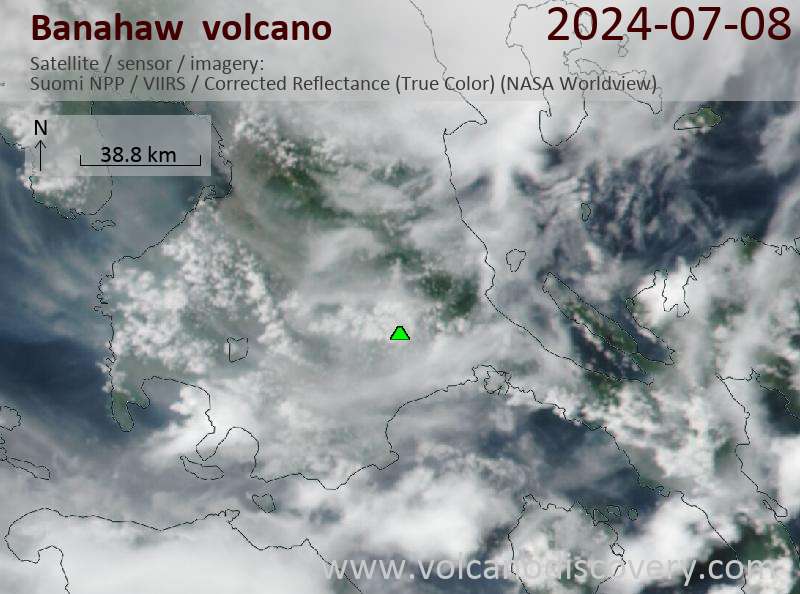
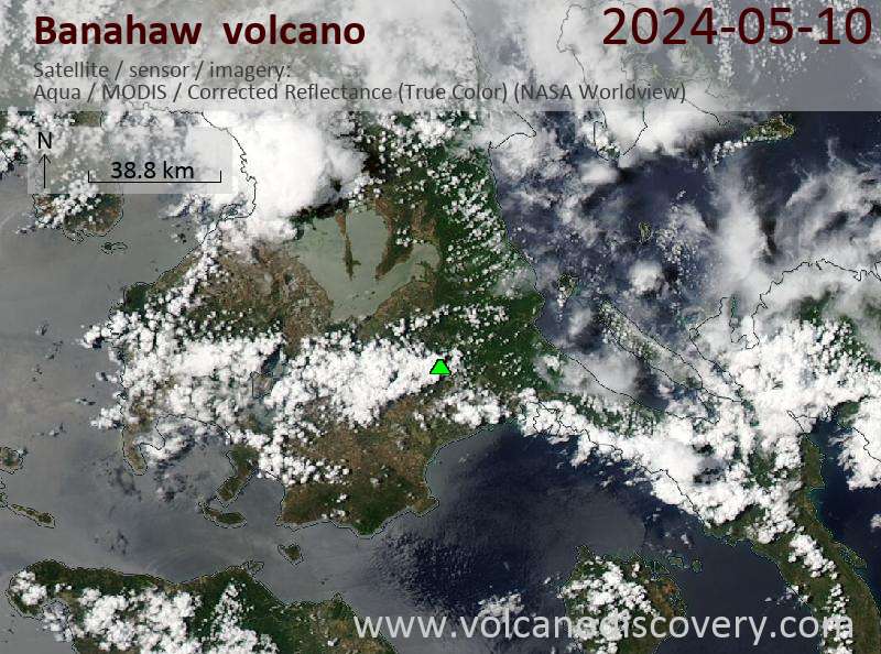
Latest satellite images
Banahaw Volcano Maps
Below is a selection of maps showing the location and surroundings of the volcano at various resolutions based on aerial-imagery / terrain maps. Feel free to use them for non-commercial purposes on your blog or website as long as you credit them with a link back to this page (click to copy it).
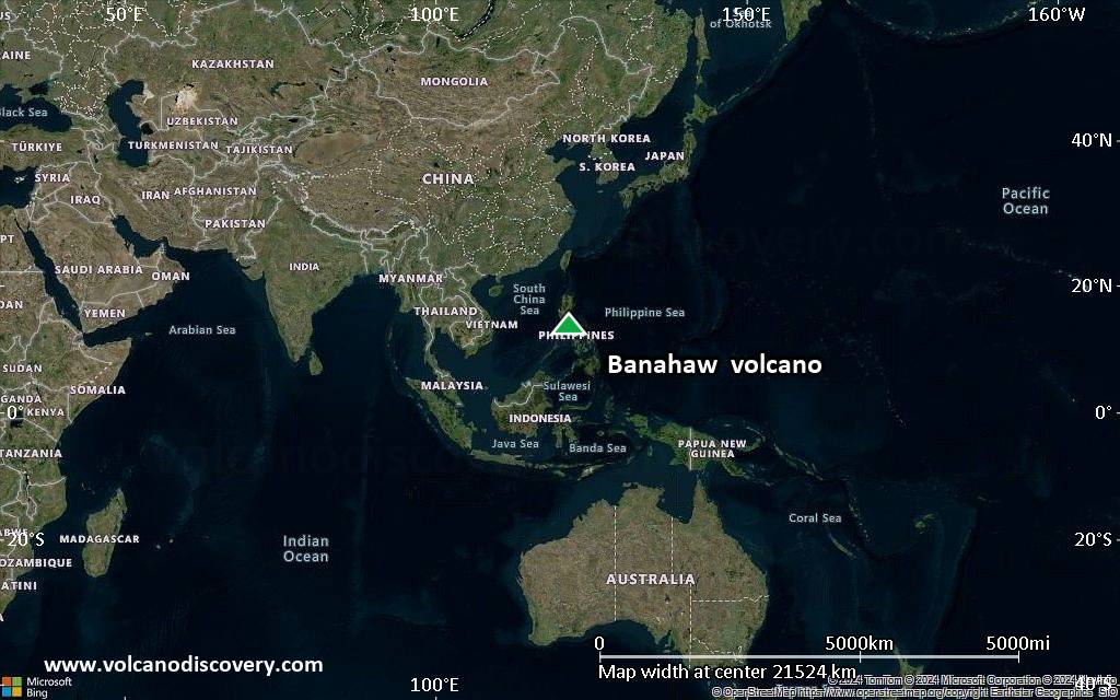
Satellite/aerial-type map of Banahaw volcano (world scale)
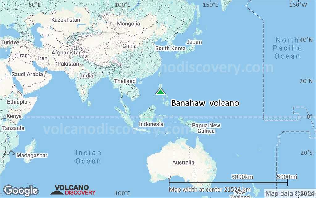
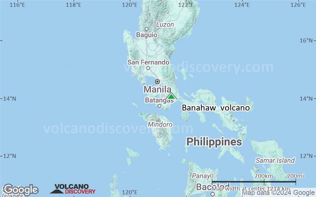
Terrain-type map of Banahaw volcano (world scale)
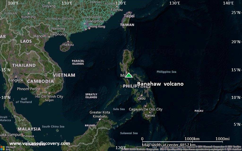
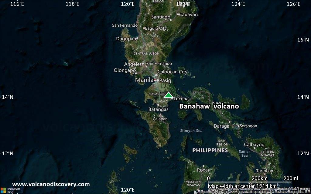
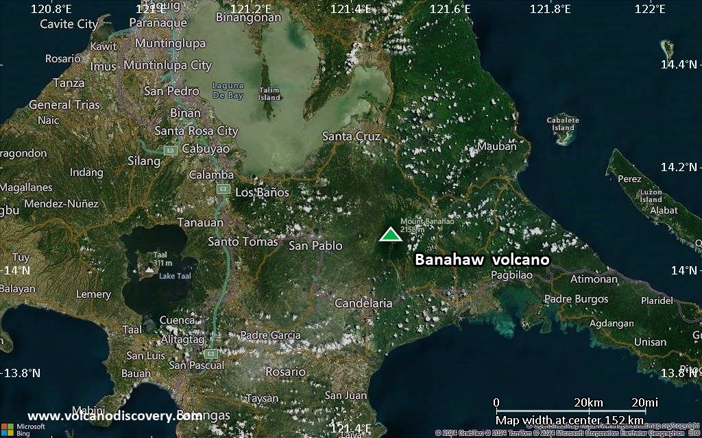
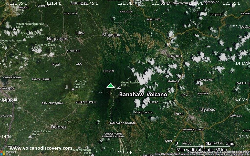
Satellite/aerial-type map of Banahaw volcano (region scale large)
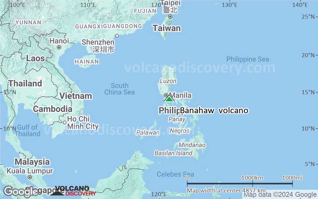
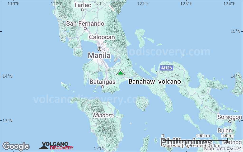
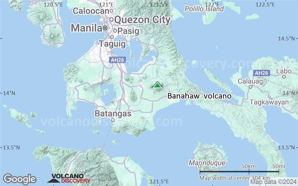
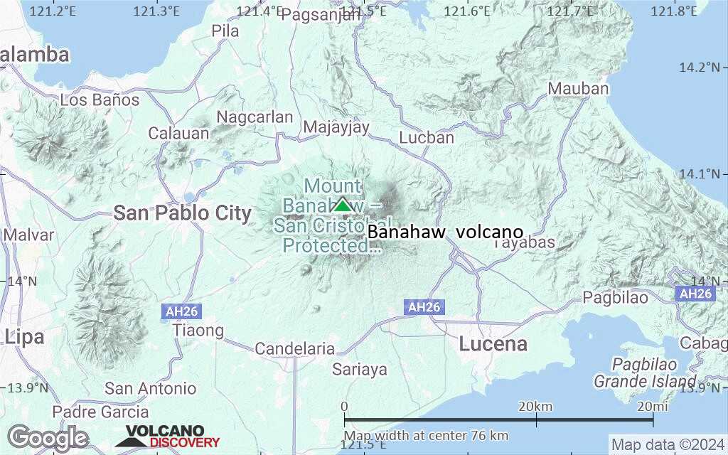
Terrain-type map of Banahaw volcano (region scale large)
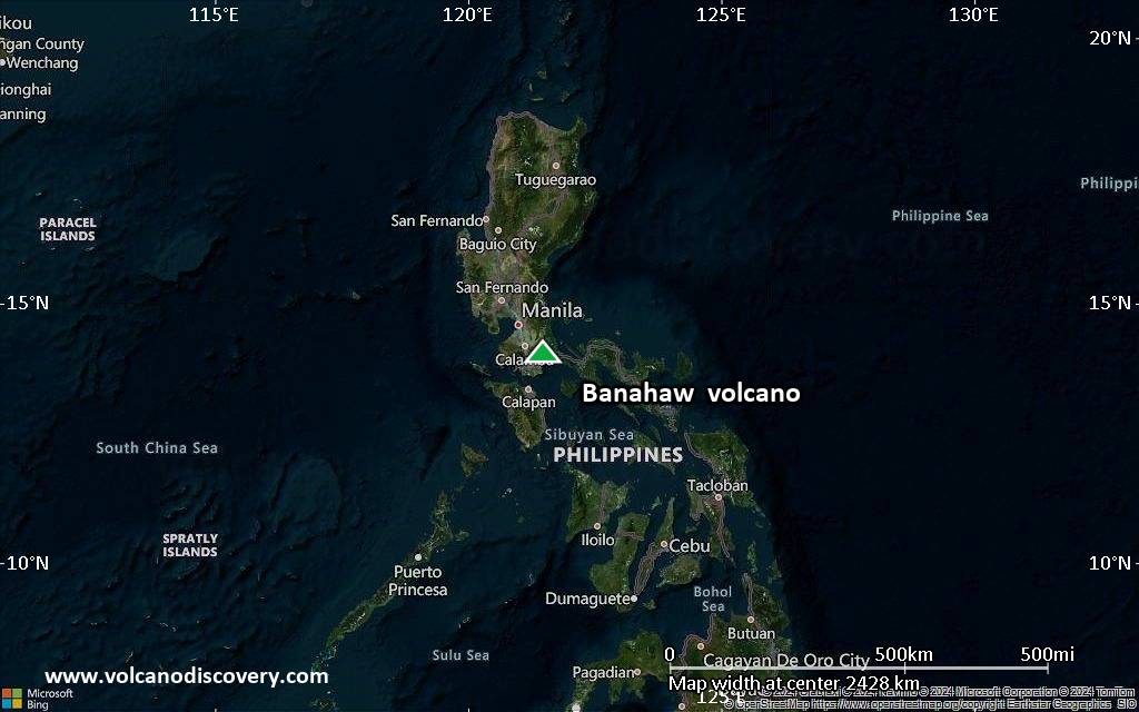
Satellite/aerial-type map of Banahaw volcano (region scale medium)

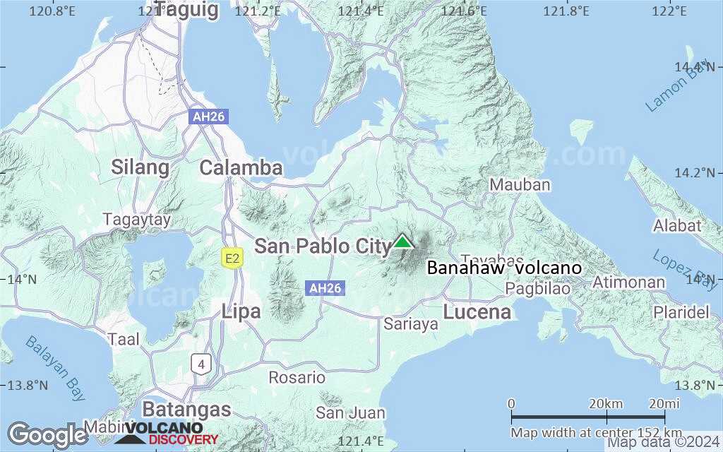
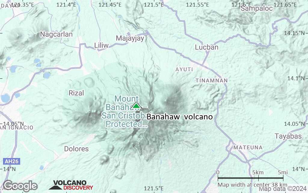
Terrain-type map of Banahaw volcano (region scale medium)
Satellite/aerial-type map of Banahaw volcano (region scale small)
Terrain-type map of Banahaw volcano (region scale small)

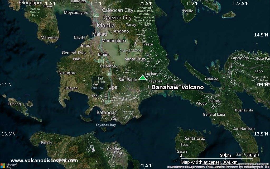
Satellite/aerial-type map of Banahaw volcano (local scale large)
Terrain-type map of Banahaw volcano (local scale large)
Satellite/aerial-type map of Banahaw volcano (local scale medium)
Terrain-type map of Banahaw volcano (local scale medium)
Satellite/aerial-type map of Banahaw volcano (local scale small)
Terrain-type map of Banahaw volcano (local scale small)
Satellite/aerial-type map of Banahaw volcano (scale of 10s of km)
Terrain-type map of Banahaw volcano (scale of 10s of km)
Satellite/aerial-type map of Banahaw volcano (scale of 20-40 km)
Terrain-type map of Banahaw volcano (scale of 20-40 km)
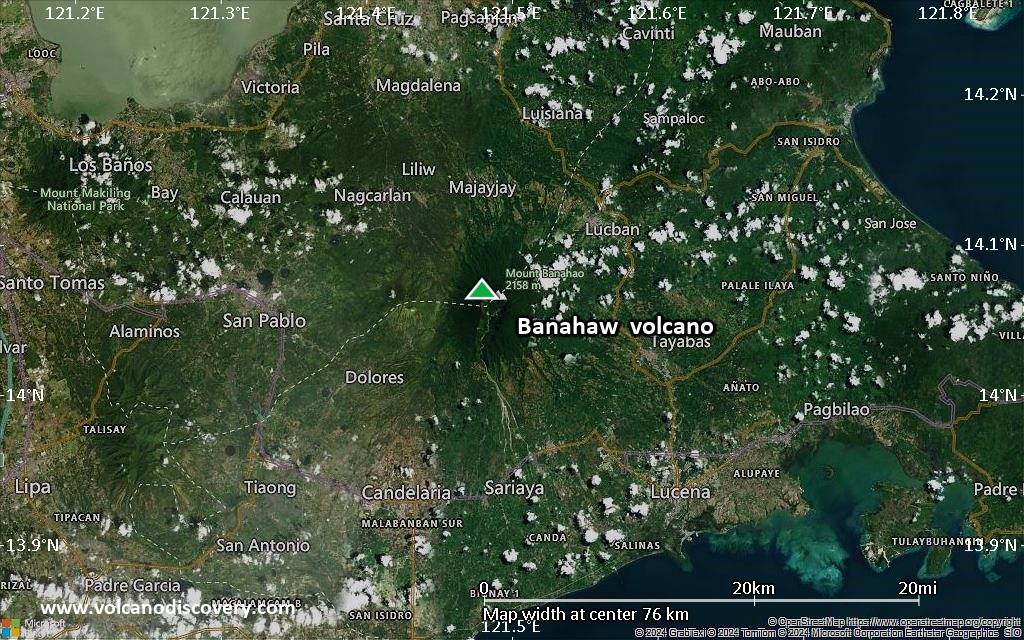
Satellite/aerial-type map of Banahaw volcano (scale of approx. 10-20 km)

Terrain-type map of Banahaw volcano (scale of approx. 10-20 km)
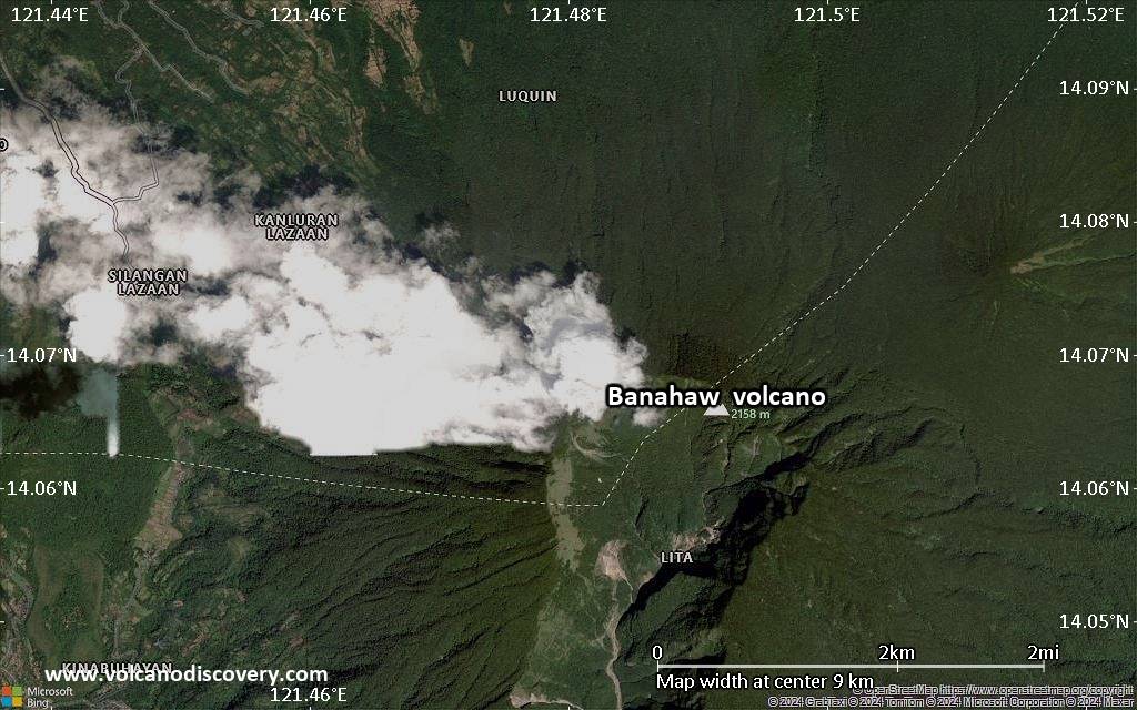
Satellite/aerial-type map of Banahaw volcano (scale of 5-10 km)
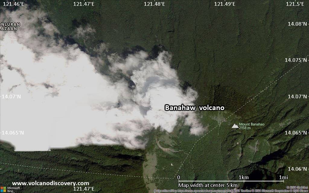
Satellite/aerial-type map of Banahaw volcano (scale of few kilometers)