Balatukan Volcano
Updated: Apr 26, 2025 02:02 GMT -
compound volcano
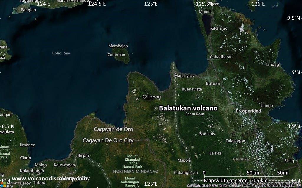
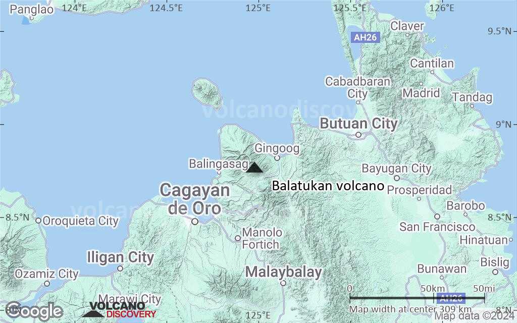
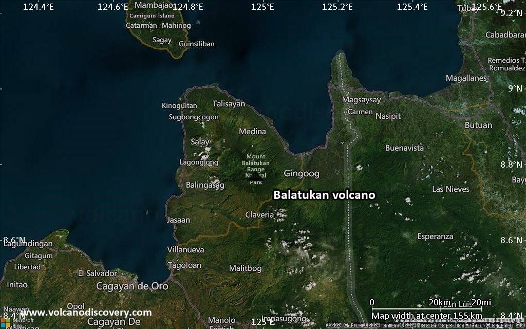
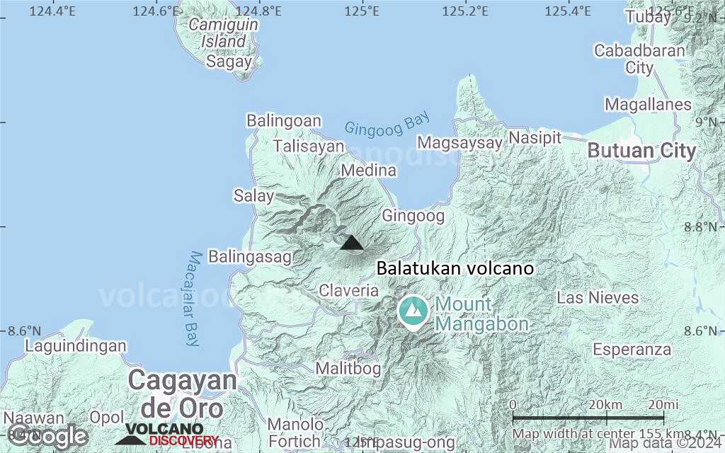
Mindanao (Philippines), 8.77°N / 124.98°E 
Summit height: 2450 m / 8,038 ft
Current status: (probably) extinct (0 out of 5)
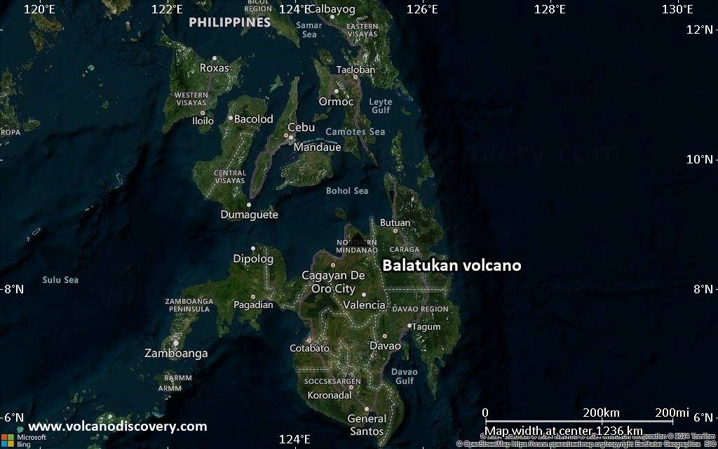
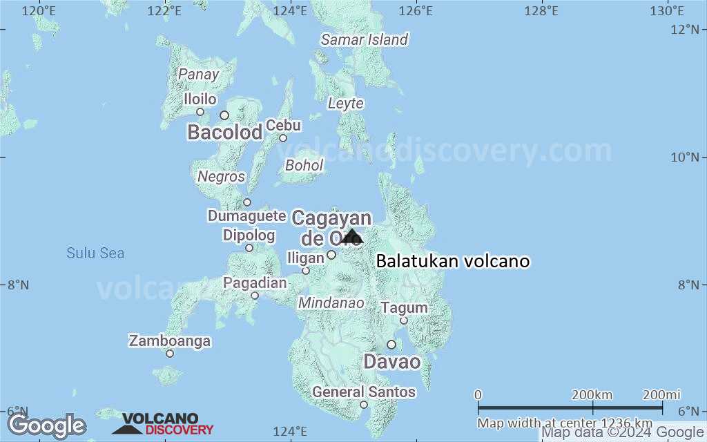
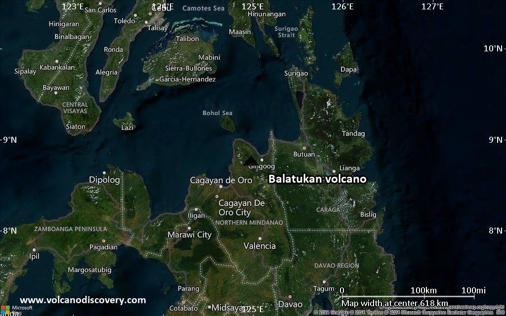
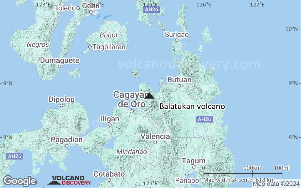
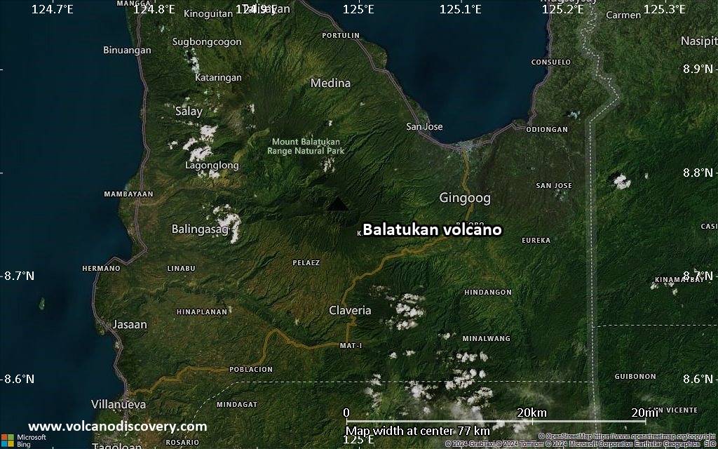
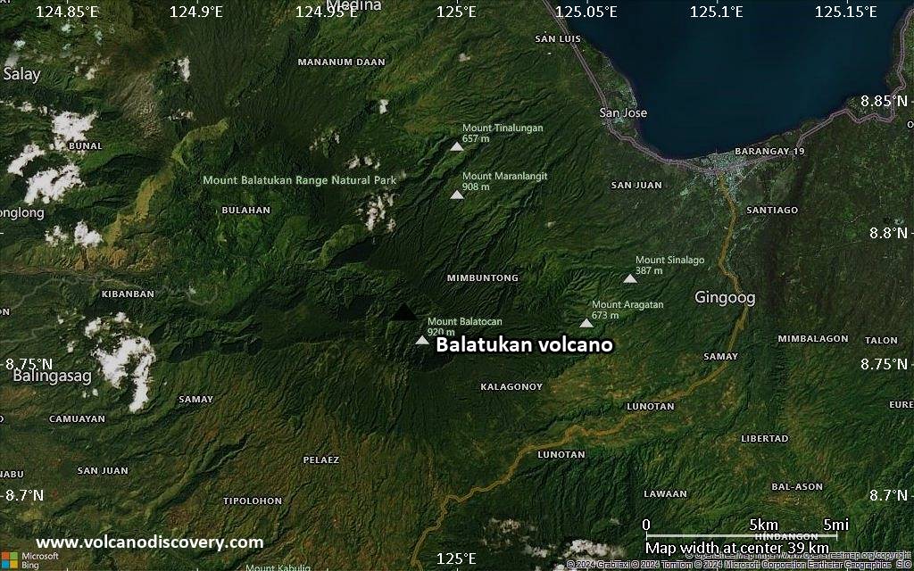
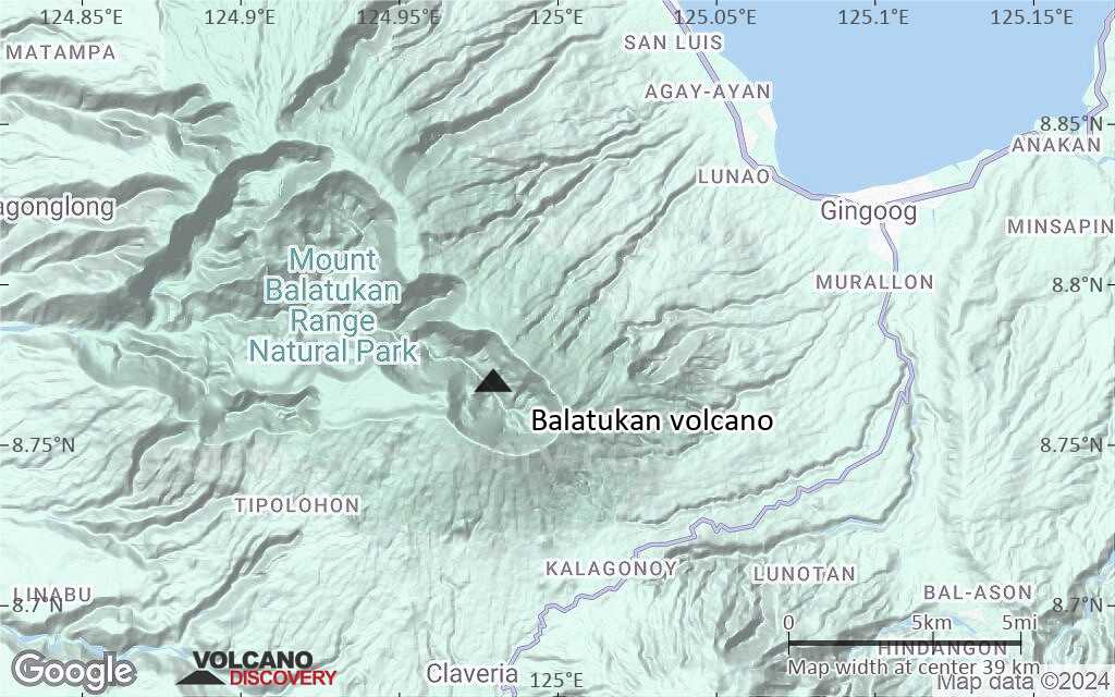
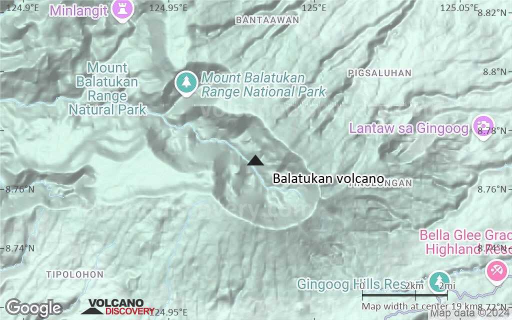
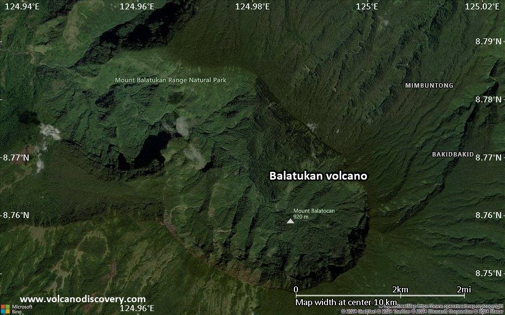
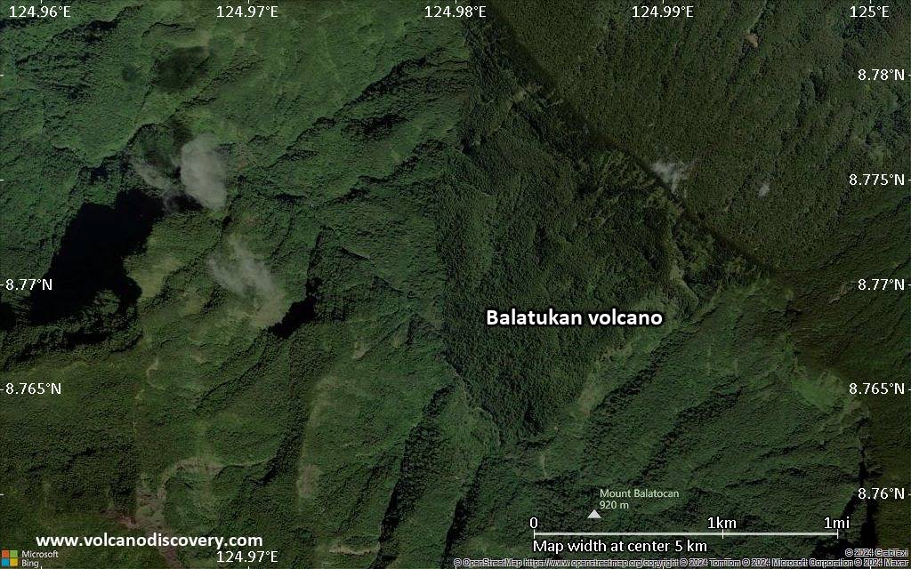
Balatukan (also known as Balingoan or Balatocan) is a massive compound stratovolcano on the SW shore of Gingoog Bay, 15 km SW of Gingoog city in north-central Mindanao, opposite Camiguin Island, Philippines.
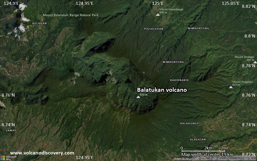
Lava flows on its flanks are 140,000 years old and it is not known whether there are younger volcanic products. Although the volcano still has fumarolic activity, it might be extinct, as the strong degree of erosion of its flanks suggests.
[smaller] [larger]
Balatukan volcano eruptions: unknown, 140,000 years ago
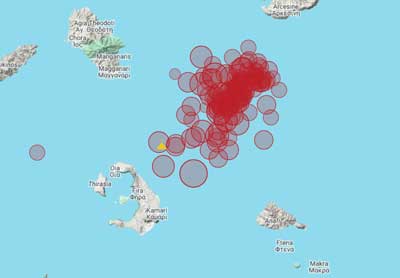
Latest nearby earthquakes
| Date and Time | Mag / Depth | Distance / Location | |||
|---|---|---|---|---|---|
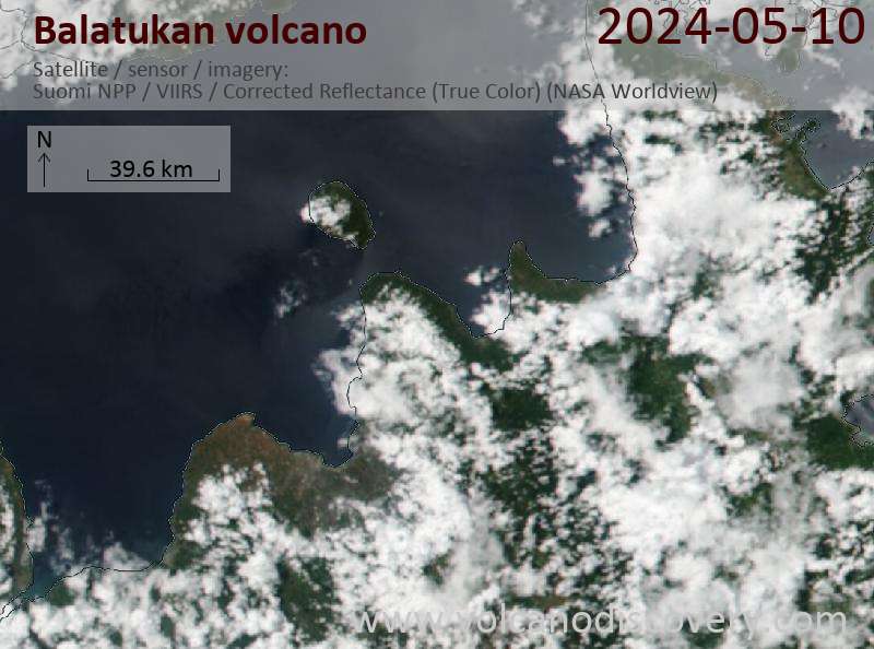
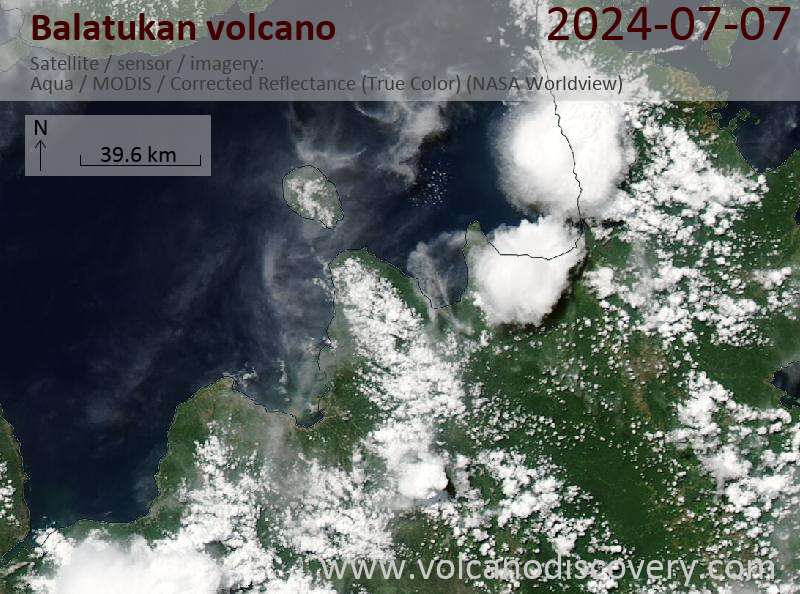
Latest satellite images
Balatukan Volcano Maps
Below is a selection of maps showing the location and surroundings of the volcano at various resolutions based on aerial-imagery / terrain maps. Feel free to use them for non-commercial purposes on your blog or website as long as you credit them with a link back to this page (click to copy it).
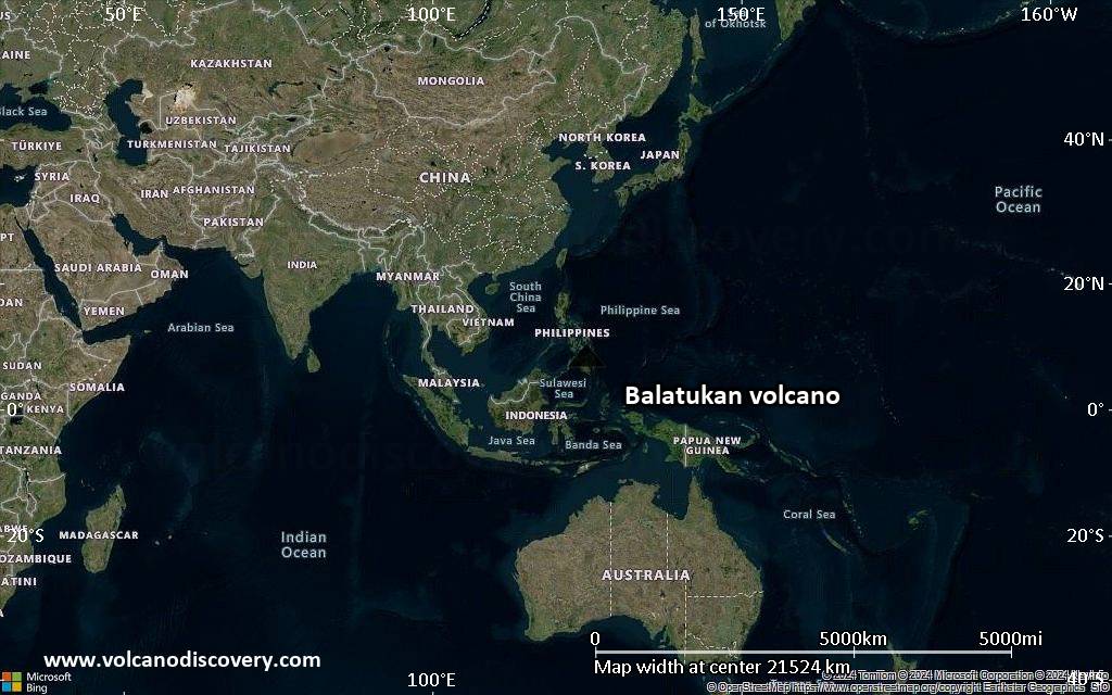
Satellite/aerial-type map of Balatukan volcano (world scale)
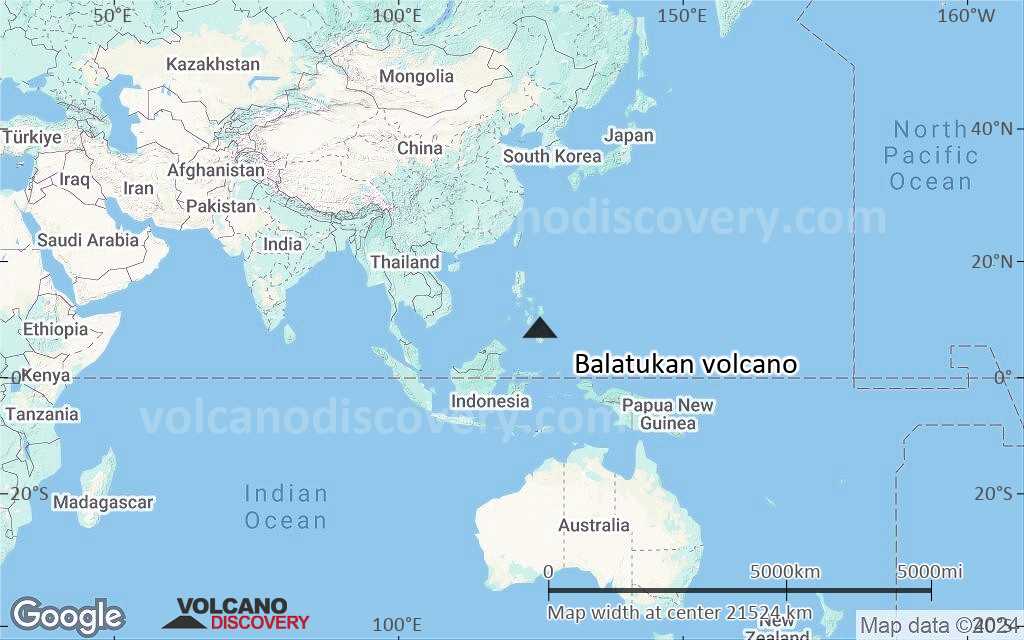
Terrain-type map of Balatukan volcano (world scale)

Satellite/aerial-type map of Balatukan volcano (region scale large)
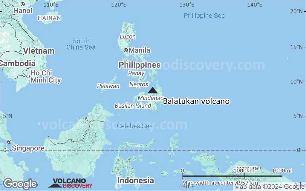
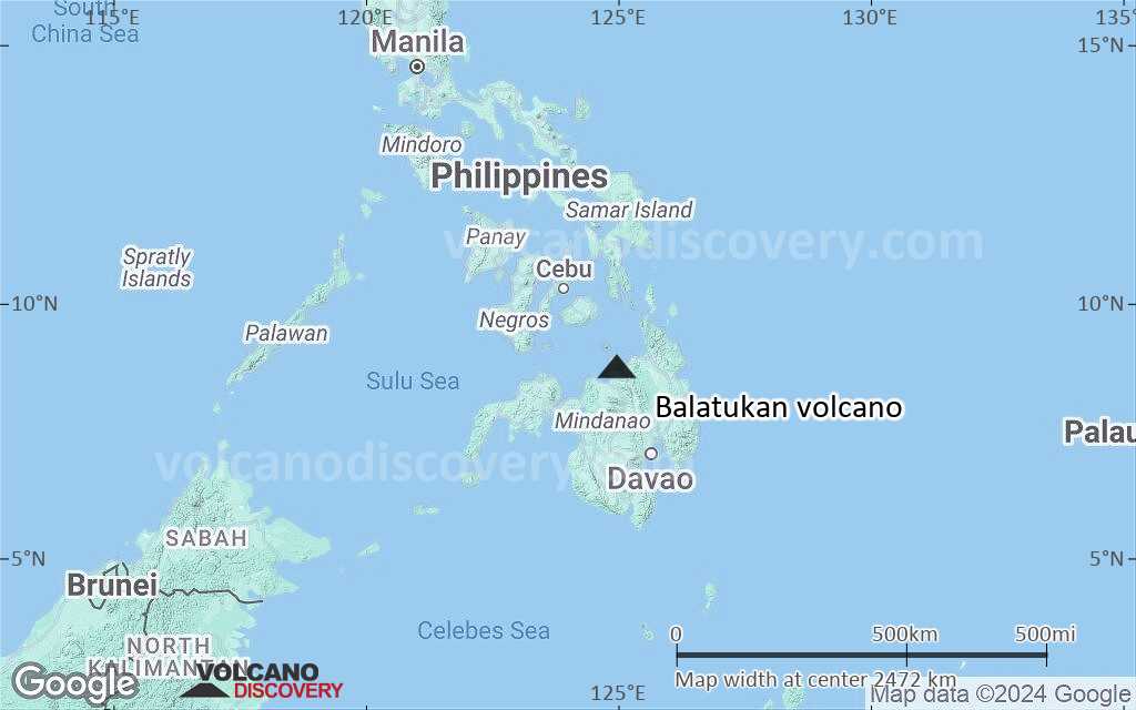
Terrain-type map of Balatukan volcano (region scale large)
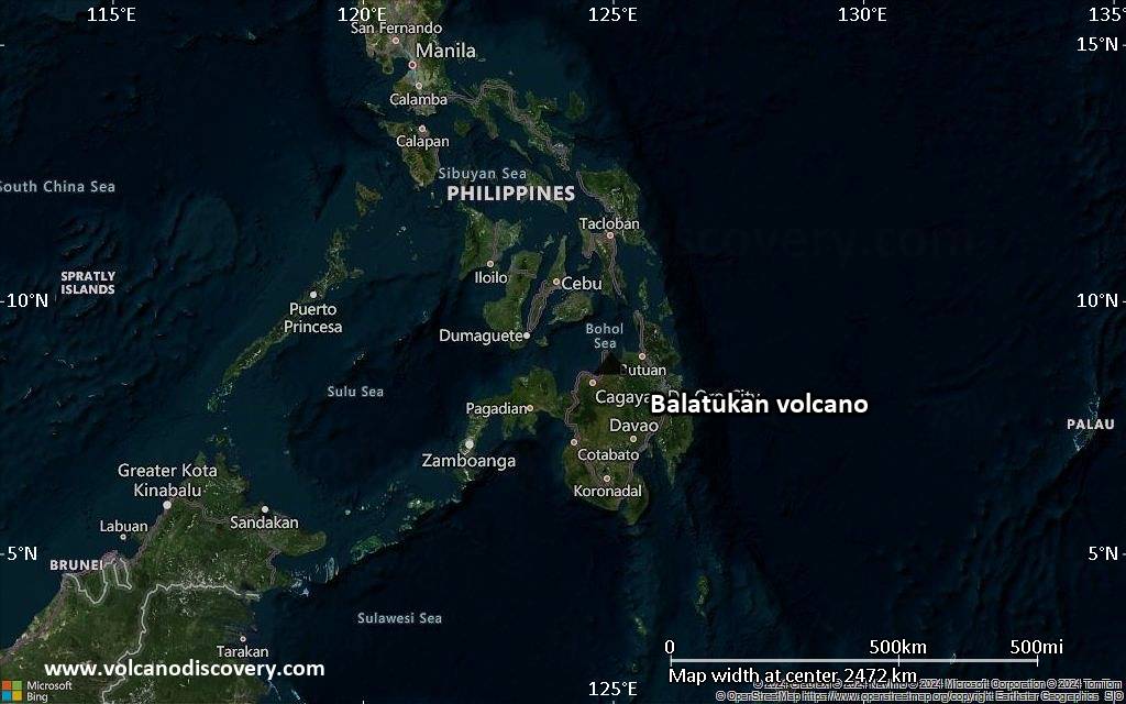
Satellite/aerial-type map of Balatukan volcano (region scale medium)
Terrain-type map of Balatukan volcano (region scale medium)
Satellite/aerial-type map of Balatukan volcano (region scale small)
Terrain-type map of Balatukan volcano (region scale small)
Satellite/aerial-type map of Balatukan volcano (local scale large)
Terrain-type map of Balatukan volcano (local scale large)
Satellite/aerial-type map of Balatukan volcano (local scale medium)
Terrain-type map of Balatukan volcano (local scale medium)
Satellite/aerial-type map of Balatukan volcano (local scale small)
Terrain-type map of Balatukan volcano (local scale small)
Satellite/aerial-type map of Balatukan volcano (scale of 10s of km)

Terrain-type map of Balatukan volcano (scale of 10s of km)
Satellite/aerial-type map of Balatukan volcano (scale of 20-40 km)
Terrain-type map of Balatukan volcano (scale of 20-40 km)
Satellite/aerial-type map of Balatukan volcano (scale of approx. 10-20 km)
Terrain-type map of Balatukan volcano (scale of approx. 10-20 km)
Satellite/aerial-type map of Balatukan volcano (scale of 5-10 km)
Satellite/aerial-type map of Balatukan volcano (scale of few kilometers)