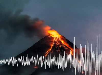
Babuyan Claro Volcano
Babuyan Claro (Mt. Pangasun) is the largest and second youngest of 5 volcanoes that built up Babuyan Island, 100 km off the north coast of Luzon, Philippines. Babuyan Claro is an active stratovolcano of ca. 7 cubic km volume and has 2 summit craters of 300 and 400 m in diameter.
Smith volcano (Mt. Babuyan) 4 km to the NW of Babuyan Claro is the youngest volcano on the island and forms a beautiful 668 m high symmetrical basaltic-andesite cinder cone with ca. 3 cubic km volume.
Both Babuyan Claro and Smith volcanoes have apparently been active in historical time, although it is not always certain which volcano erupted. Eruptions at Babuyan Claro are typically strombolian and/or phreatomagmatic.
The Askedna Hot Spring is located at the southern base of Babuyan Claro.
Babuyan Claro volcano eruptions: 1917, 1913, 1860, 1831
Latest nearby earthquakes
| Date and Time | Mag / Depth | Distance / Location | |||
|---|---|---|---|---|---|
Background
The oldest volcanoes (Cayonan, Naydi, and Dionisio) started to form 1.7 million years ago and consist mainly of calc-alkaline andesitic and basaltic andesitic lava flows.Significant volcanic eruptions: Babuyan Claro volcano
Additionally, there are 2 uncertain or discredited eruptions from Babuyan Claro volcano.
| Date | Note | VEI | Deaths | Damage | |
|---|---|---|---|---|---|
| Smith volcano Historical obs./docs. | 2 | ||||
| Smith volcano Historical obs./docs. | 2 | ||||
| Smith volcano Historical obs./docs. | 2 | ||||
| Smith volcano Historical obs./docs. | 2 | ||||
?? | Uncertain Eruption | 2 | |||
| Smith volcano Historical obs./docs. | 2 | ||||
| Babuyan Claro Historical obs./docs. | 2 | ||||
?? | Uncertain Eruption Historical obs./docs. | 4? | |||
| Smith volcano Historical obs./docs. | 3 | ||||
Eruptions of Babuyan Claro volcano
Hot mudflows were triggered by a landslide 600 m above sea level on the NW flank of Babuyan Claro volcano in early February 1980. The mudflows (lahars) damaged rice fields and roads, and forced the evacuation of nearby residents. (Source: GVP monthly reports)
Babuyan Claro Volcano FAQ
+When was the last eruption of Babuyan Claro volcano?
The last confirmed eruption of Babuyan Claro occurred in 1924.
+How often does Babuyan Claro volcano erupt?
Since 1652 AD, Babuyan Claro volcano has had at least 7 historically documented eruptions. This means that it erupts on average every 53 years.
+How active is Babuyan Claro volcano at present?
Babuyan Claro volcano is occasionally active: Since 1900, it has had 5 eruptions, and been active during 5 years out of 126 as of now. This means, Babuyan Claro has been in eruption one in 25.2 years on average. The last eruption was in 1924 and ended 101 years ago.
+When was the largest eruption of Babuyan Claro volcano?
The largest eruption of Babuyan Claro volcano in historic times occurred in 1652 AD. It ranks as a "vulcanian" eruption with a magnitude 3 on the VEI (Volcanic Explosivity Index) scale.
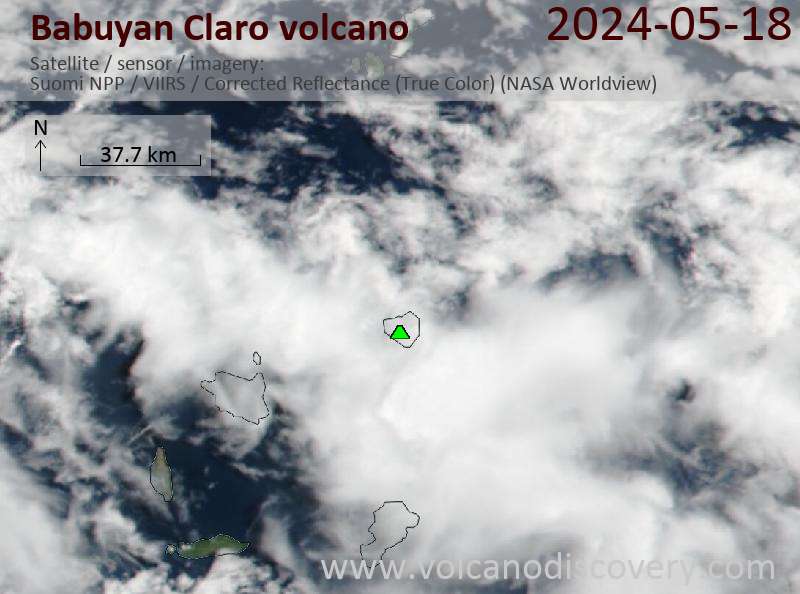
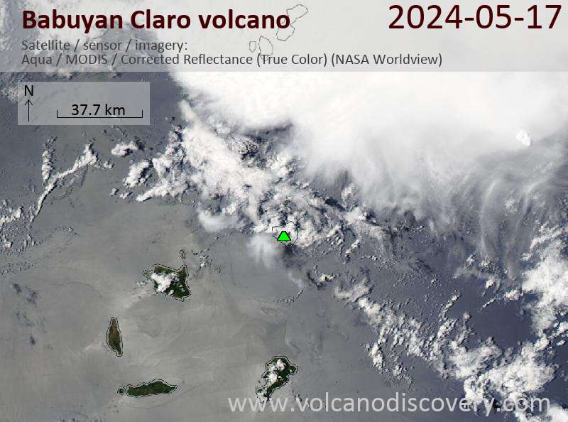
Latest satellite images
Babuyan Claro Volcano Maps