


Apaneca Range Volcano
Updated: Apr 30, 2025 13:31 GMT -
stratovolcanoes
El Salvador, 13.89°N / -89.79°W 
Summit height: 2036 m / 6,680 ft
Current status: normal or dormant (1 out of 5)
Apaneca Range (Cuyanausul Range) is a group of E-W trending stratovolcanoes and geothermal areas located in western El Salvador, between the Santa Ana complex and the Guatemala border, about 6 km SE of Ahuachapin town. The volcanoes are basaltic-to-andesitic and Pleistocene and Holocene in age.
[smaller] [larger]
Apaneca Range volcano eruptions: unknown, less than 10,000 years ago
Latest nearby earthquakes
| Date and Time | Mag / Depth | Distance / Location | |||
|---|---|---|---|---|---|
| Apr 26, 11:38 am (Universal Time) | 1.7 105 km | 15 km (9.1 mi) to the SW | Info | ||
| Friday, April 25, 2025 GMT (2 quakes) | |||||
| Apr 25, 03:26 pm (Universal Time) | 2.0 5 km | 3.5 km (2.2 mi) to the S | Info | ||
| Apr 25, 09:21 am (El Salvador) | 2.9 6 km | 4.6 km (2.8 mi) to the S | Info | ||
Background
The Apaneca Range starts to the west at the Concepción de Ataco caldera, a dacitic-rhyolitic, 5x3.5 km wide caldera occupied by late-Pleistocene to Holocene post-caldera andesitic-dacitic lava domes and stratovolcanoes. The most prominent of these is the Cerro el Aguila cone (at 2036 m the highest peak of the complex).Other important features of the range include:
Cerro los Naranjos stratovolcano at the eastern end of the chain, probably Holocene in age.
Las Ninfas, a stratovolcano with a 500 x 300 m wide lake-filled crater at the western end of the Apaneca volcanic range.
Laguna Verde, a basaltic stratovolcano with craters that could be less than 10,000 years old.
Ahuachapán geothermal field at the northern end of the range contains numerous fumarole fields and has been producing energy since 1975. Several small hydrothermal explosions have occurred in historical time, including one in October 1990 at the Agua Shuca thermal area in which 26 persons were killed.
Significant volcanic eruptions: Apaneca Range volcano
In the past 10,000 years, Apaneca Range has had only one confirmed historic eruption ###WHEN1###|only one confirmed historic eruption ###WHEN1### and one ###WHEN2### inferred from geological evidence|only one confirmed historic eruption ###WHEN1###, but at least ###NUM_INFERRED### eruptions can be inferred from geological evidence|at least ###NUM_CONFIRMED### confirmed eruptions, all documented by historical records or observations|at least ###NUM_CONFIRMED### confirmed volcanic eruptions, out of which ###NUM_HISTORIC### are documented by historical records, while the others can be inferred from geological evidence.
No historic eruptions are known from Apaneca Range volcano, but at least one eruption ###WHEN2### can be inferred from geological evidence|evidence from at least ###NUM_CONFIRMED### eruptions during the past 10,000 years can be found in the geological record.
There is one uncertain or discredited eruption in 1990 from Apaneca Range volcano.
The table below lists all known eruptions (date in bold face) of Apaneca Range volcano in historic times and during the past 10,000 years. Updates on the most recent volcanic activity of Apaneca Range can be found on the news page of Apaneca Range volcano.
| Date | Note | VEI | Deaths | Damage | ||
|---|---|---|---|---|---|---|
Discredited Eruption | ||||||
Remark:
Our list of volcanic eruptions closely follows the database of eruptions of the Smithsonian's Global Volcanism Project (GVP), the internationally most recognized data source for volcanic eruptions, but also includes significant eruptive episodes or related volcano events. "Volcanic eruptions" are usually to be understood as sequences of individual eruptive episodes that can follow each other, or even overlap (if several vents are involved), and can last many years, decades or even longer. For example, the current activity of Stromboli volcano is understood as a single eruption that has been ongoing since 1934.
Sources: NOAA National Centers for Environmental Information (NCEI), Global Significant Volcanic Eruptions Database. doi:10.7289/V5TD9V7K | Global Volcanism Project / Smithsonian Institution
Eruptions of Apaneca Range volcano
1990 steam explosion & fatalities
On 13 October 1990, a phreatic steam explosion occurred in the village of El Barro at the Agua Shuca thermal area located on the lower NW flank of the Apaneca Range.
The eruption produced a violent geyser-like fountain, lasting 10-20 minutes, of steam and mud, which killed 26 people and injured several others, and left a 15 m deep crater of 30 m diameter. ...more info
Latest satellite images
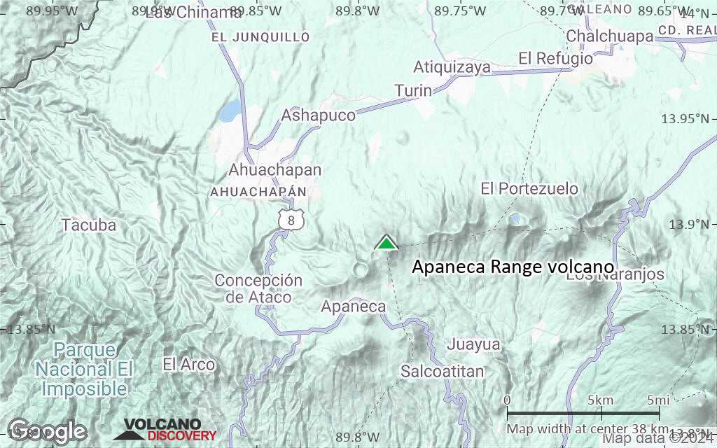
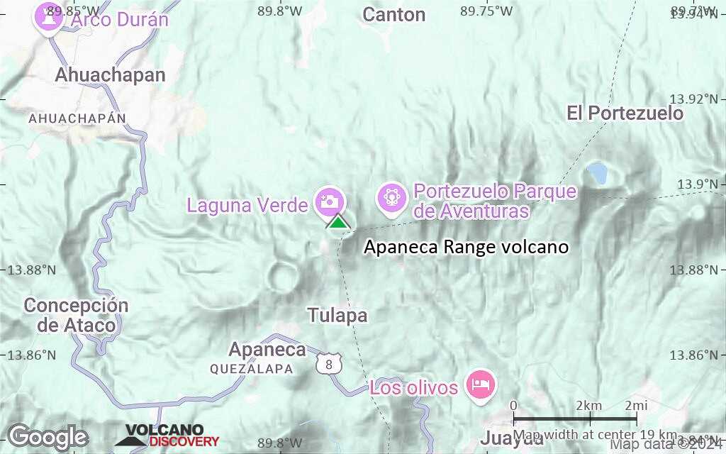
Apaneca Range Volcano Maps
Below is a selection of maps showing the location and surroundings of the volcano at various resolutions based on aerial-imagery / terrain maps. Feel free to use them for non-commercial purposes on your blog or website as long as you credit them with a link back to this page (click to copy it).
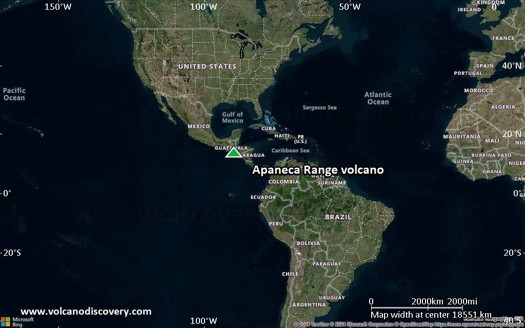
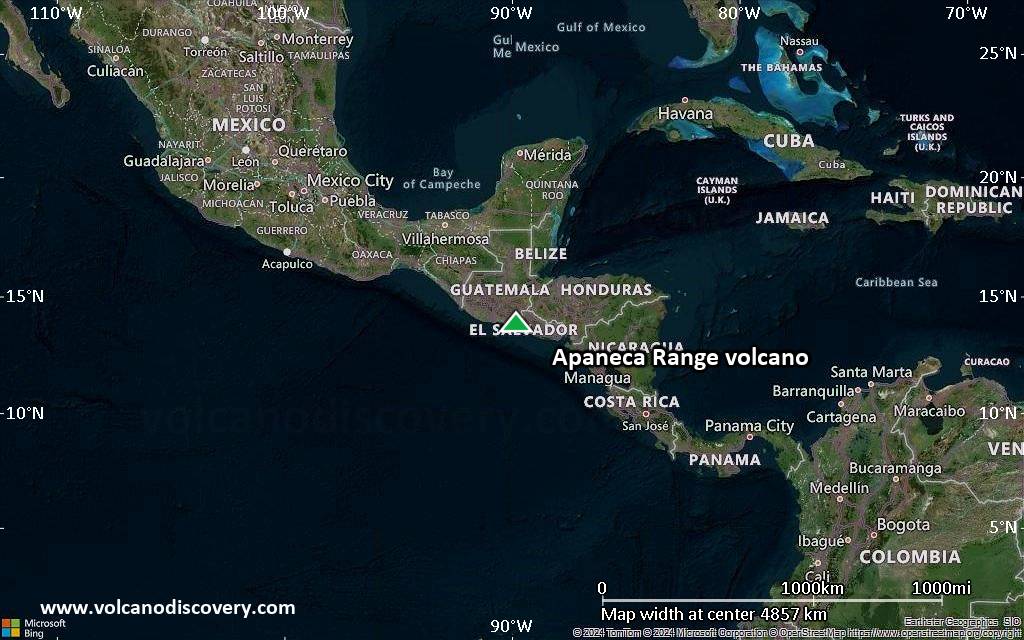
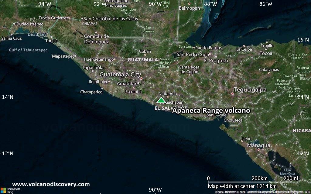
Satellite/aerial-type map of Apaneca Range volcano (world scale)
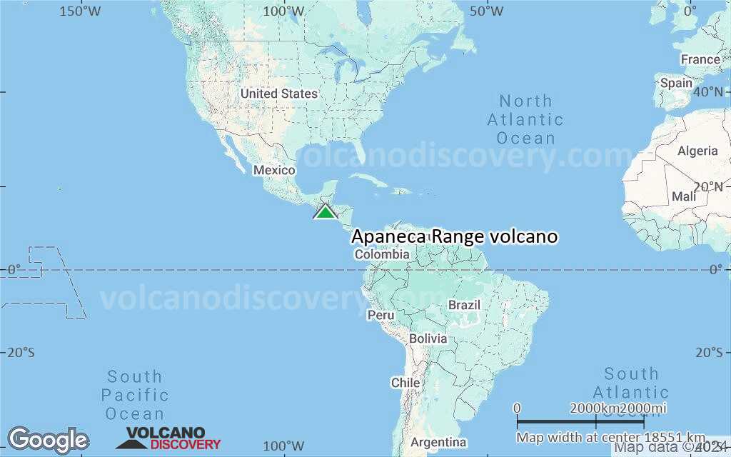
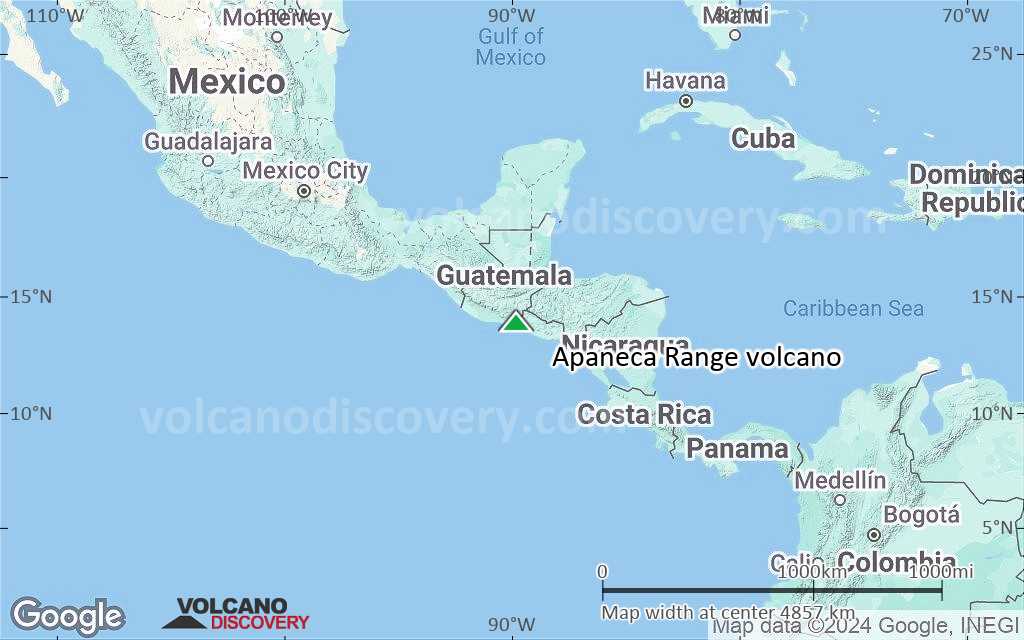
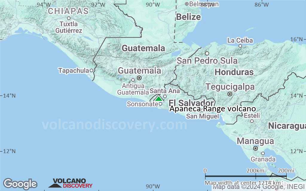
Terrain-type map of Apaneca Range volcano (world scale)
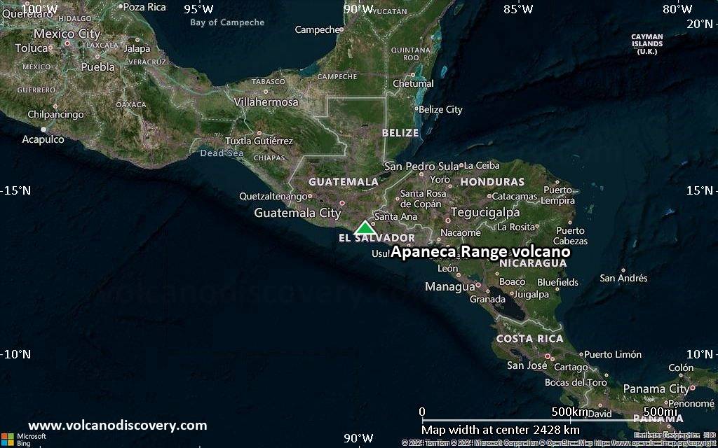
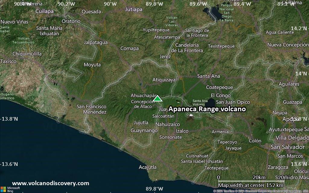
Satellite/aerial-type map of Apaneca Range volcano (region scale large)
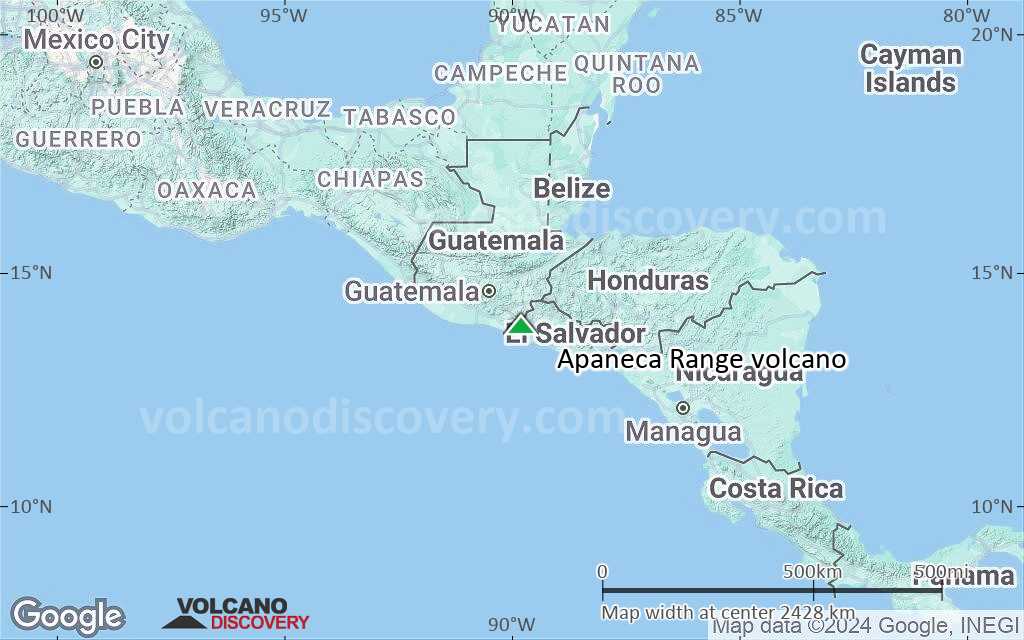
Terrain-type map of Apaneca Range volcano (region scale large)
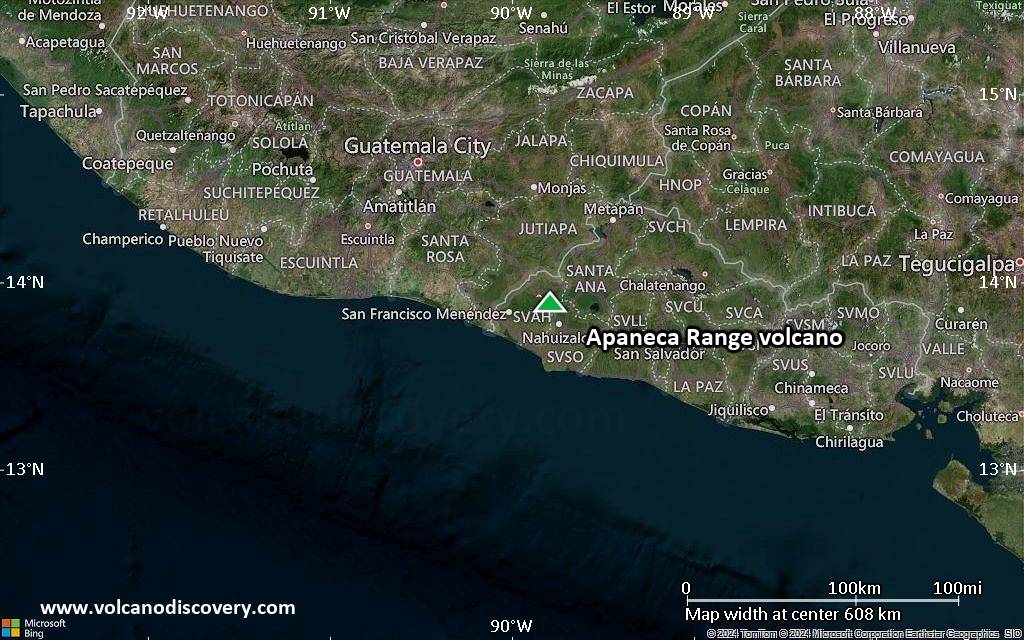
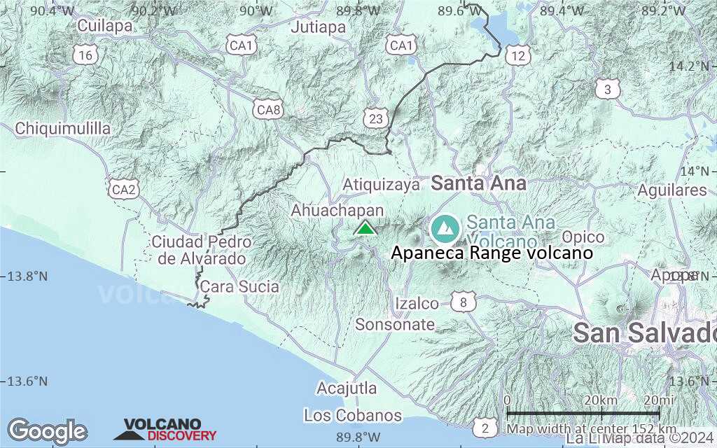
Satellite/aerial-type map of Apaneca Range volcano (region scale medium)
Terrain-type map of Apaneca Range volcano (region scale medium)
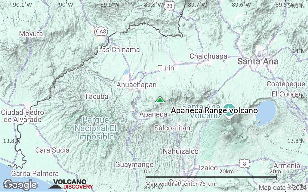
Satellite/aerial-type map of Apaneca Range volcano (region scale small)
Terrain-type map of Apaneca Range volcano (region scale small)
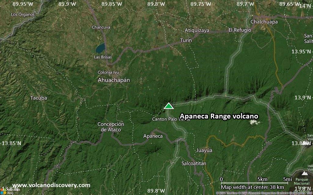
Satellite/aerial-type map of Apaneca Range volcano (local scale large)

Terrain-type map of Apaneca Range volcano (local scale large)
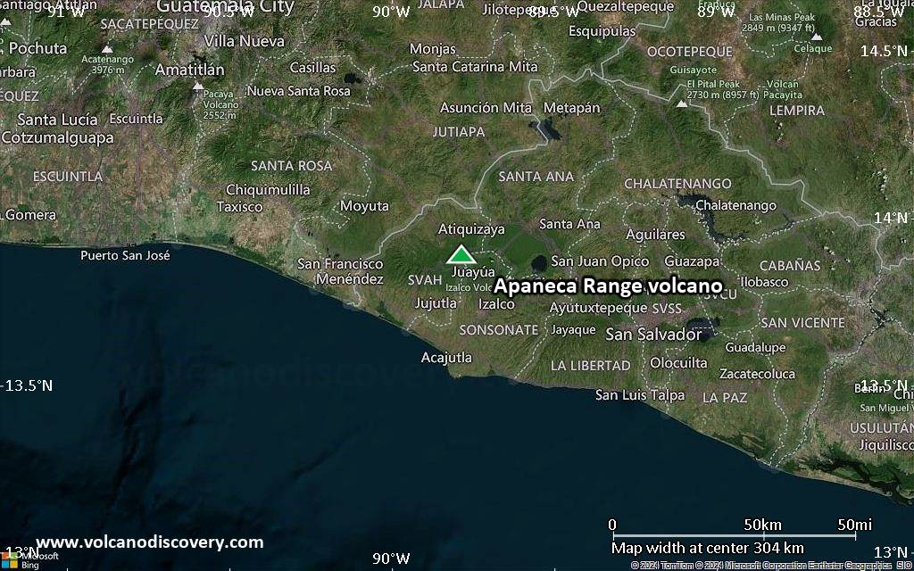
Satellite/aerial-type map of Apaneca Range volcano (local scale medium)

Terrain-type map of Apaneca Range volcano (local scale medium)
Satellite/aerial-type map of Apaneca Range volcano (local scale small)
Terrain-type map of Apaneca Range volcano (local scale small)

Satellite/aerial-type map of Apaneca Range volcano (scale of 10s of km)
Terrain-type map of Apaneca Range volcano (scale of 10s of km)
Satellite/aerial-type map of Apaneca Range volcano (scale of 20-40 km)
Terrain-type map of Apaneca Range volcano (scale of 20-40 km)

Satellite/aerial-type map of Apaneca Range volcano (scale of approx. 10-20 km)
Terrain-type map of Apaneca Range volcano (scale of approx. 10-20 km)
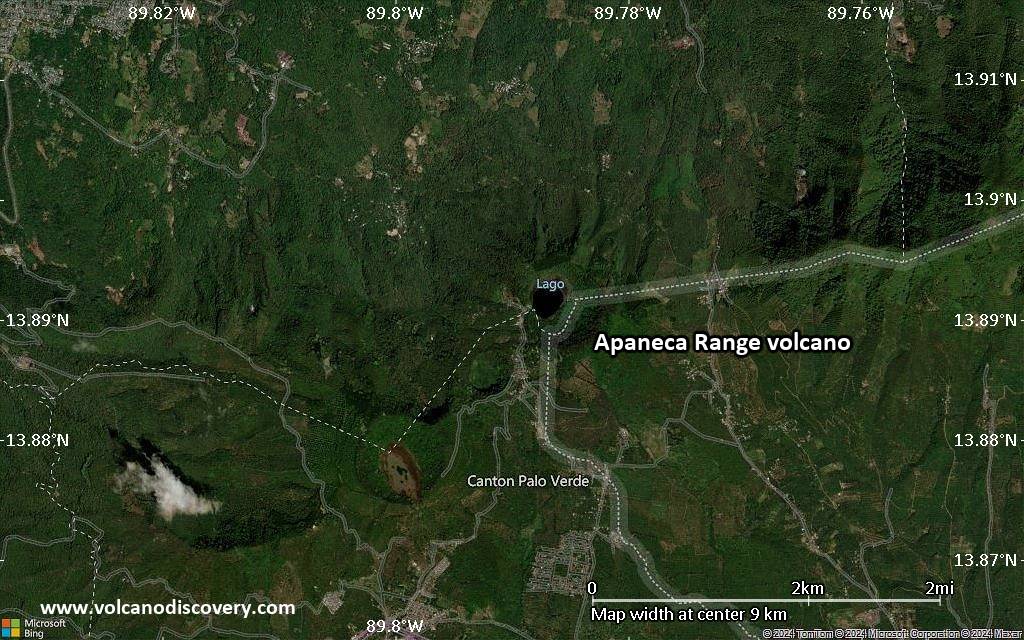
Satellite/aerial-type map of Apaneca Range volcano (scale of 5-10 km)

Satellite/aerial-type map of Apaneca Range volcano (scale of few kilometers)


