Alu Volcano
Updated: Mar 28, 2025 17:49 GMT -
fissure vents (shield volcano)
Ethiopia, 13.82°N / 40.55°E 
Summit height: 429 m (1,407 ft)
Current status: normal or dormant (1 out of 5)
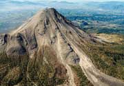
A series of eruptive fissures near Dalaffilla volcano at the northern end of the Erta Ale range (Danakil desert, Ethiopia), many of which have erupted voluminous basaltic lava flows, as recently as in Nov. 2008.
[smaller] [larger]
Alu volcano eruptions: 2008 (starting Nov 4)
Latest nearby earthquakes
| Date and Time | Mag / Depth | Distance / Location | |||
|---|---|---|---|---|---|
Background
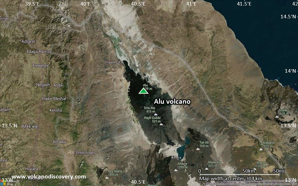
Alu volcano along with Dalaffilla volcano form a twin volcano at the northen end of the Erta Ale range and they are often referred to as Alu-Dalaffilla volcano.While Dalaffilla is a small but steep stratovolcano of mainly silic lava domes, Alu is characterized by a series of fissures that have erupted basaltic lava flows.
The summit of Alu volcano, immediately NW of conical Dalaffilla volcano, is an uplifted ellipsoidal volcanic horst, elongated in a NNW-SSE direction.
Strong fumarolic activity is located on the numerous NNW-SSE parallel faults, some of which have uplifts of 100 m. Fissure vents west of the horst have fed silicic lava flows, and other fissures to the south have produced voluminous youthful basaltic lava flows that extend north as far as Lake Bakili.
The recent eruption starting Nov 4, 2008, from a fissure between Alu and Dalaffilla volcanoes has modified the local topography by covering a large area with lava flows.
Alu Volcano Photos
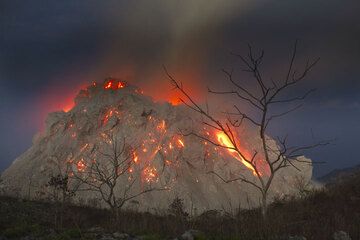
Naked trees silhouetted against the active lava dome of Paluweh volcano (Flores Sea, Indonesia) on 1 Dec 2012. (Photo: Tom Pfeiffer)

The church Guadalupe in Teguise (Photo: Tobias Schorr)
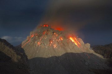
The new growing lava dome of Paluweh volcano, Flores Sea, Indonesia (Photo: Tom Pfeiffer)
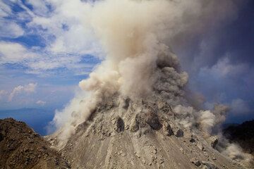
Rockfalls from Paluweh's active lava dome during the day, generating ash clouds. (Photo: Tom Pfeiffer)
Latest satellite images
Alu Volcano Maps
Below is a selection of maps showing the location and surroundings of the volcano at various resolutions based on aerial-imagery / terrain maps. Feel free to use them for non-commercial purposes on your blog or website as long as you credit them with a link back to this page (click to copy it).

Satellite/aerial-type map of Alu volcano (world scale)

Terrain-type map of Alu volcano (world scale)

Satellite/aerial-type map of Alu volcano (region scale large)

Terrain-type map of Alu volcano (region scale large)

Satellite/aerial-type map of Alu volcano (region scale medium)

Terrain-type map of Alu volcano (region scale medium)

Satellite/aerial-type map of Alu volcano (region scale small)

Terrain-type map of Alu volcano (region scale small)

Satellite/aerial-type map of Alu volcano (local scale large)

Terrain-type map of Alu volcano (local scale large)
Satellite/aerial-type map of Alu volcano (local scale medium)

Terrain-type map of Alu volcano (local scale medium)

Satellite/aerial-type map of Alu volcano (local scale small)

Terrain-type map of Alu volcano (local scale small)

Satellite/aerial-type map of Alu volcano (scale of 10s of km)

Terrain-type map of Alu volcano (scale of 10s of km)

Satellite/aerial-type map of Alu volcano (scale of 20-40 km)

Terrain-type map of Alu volcano (scale of 20-40 km)

Satellite/aerial-type map of Alu volcano (scale of approx. 10-20 km)

Terrain-type map of Alu volcano (scale of approx. 10-20 km)

Satellite/aerial-type map of Alu volcano (scale of 5-10 km)

Satellite/aerial-type map of Alu volcano (scale of few kilometers)