


Alto Volcano
Updated: Mar 28, 2025 22:55 GMT -
Compound
Philippines, 11.11°N / 124.75°E 
Summit height: 1350 m / 4429 ft
Current status: (probably) extinct (0 out of 5)
[smaller] [larger]
Alto volcano eruptions: None during the past 10,000 years
Less than few million years ago (Pleistocene)
Latest nearby earthquakes
| Date and Time | Mag / Depth | Distance / Location | |||
|---|---|---|---|---|---|
| Mar 27, 01:48 pm (GMT +8) | 2.3 14 km | 8.4 km (5.2 mi) to the SW | Info | ||
| Tuesday, March 25, 2025 GMT (2 quakes) | |||||
| Mar 26, 02:28 am (GMT +8) | 2.3 6 km | 14 km (8.9 mi) to the S | Info | ||
| Mar 25, 05:39 pm (GMT +8) | 2.4 4 km | 14 km (8.4 mi) to the NW | Info | ||
Background
The massive compound Alto volcano at the northern end of Leyte Island has K-Ar dates of 0.43-0.38 million years and contains the Tongonan geothermal field.---
Source: Smithsonian / GVP volcano information
Alto Volcano Photos
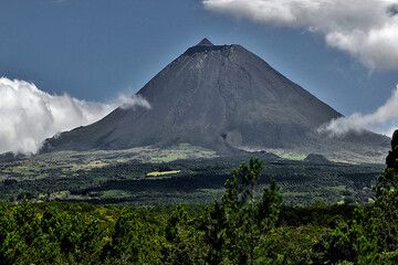
The basaltic stratovolcano Pico Alto (2351 m) on the Azores (Photo: Jiri VonDrak)
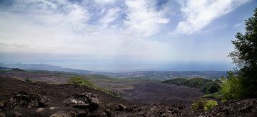
The Val Calanna seen from the top of the Salto della Giumenta (Etna) (Photo: Emanuela / VolcanoDiscovery Italia)

Viola flowers and dead wood. (Photo: Tobias Schorr)

Viola flowers are typical at Etna volcano. (Photo: Tobias Schorr)
Latest satellite images

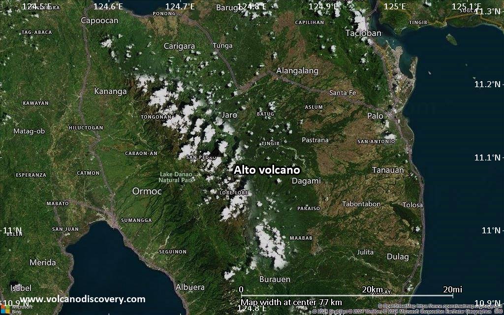
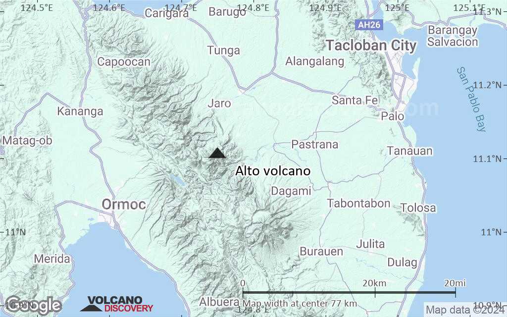
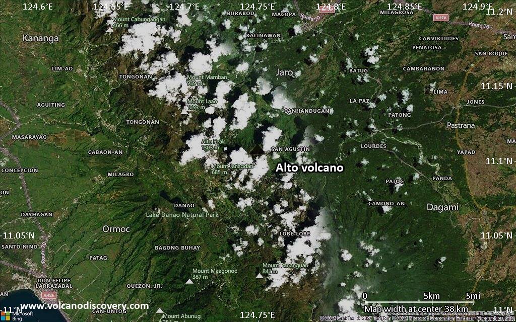
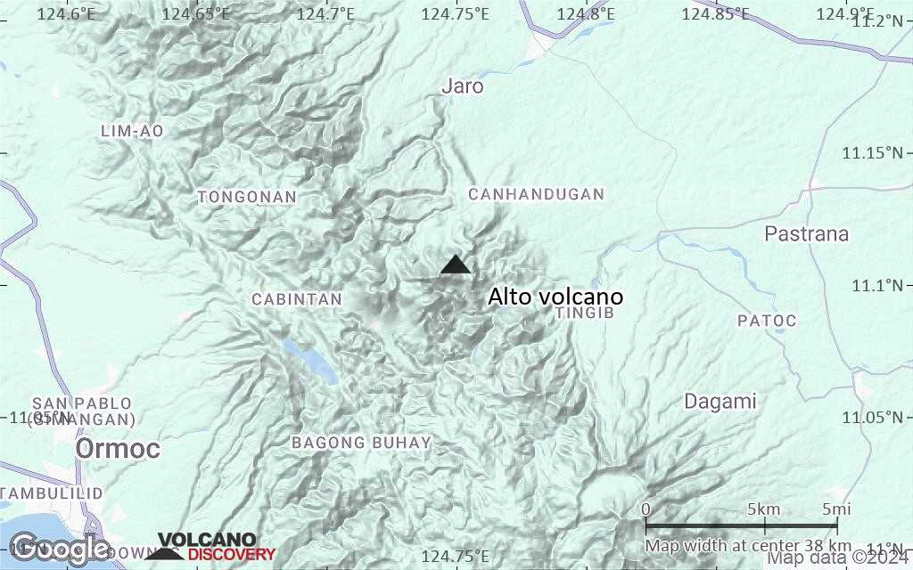
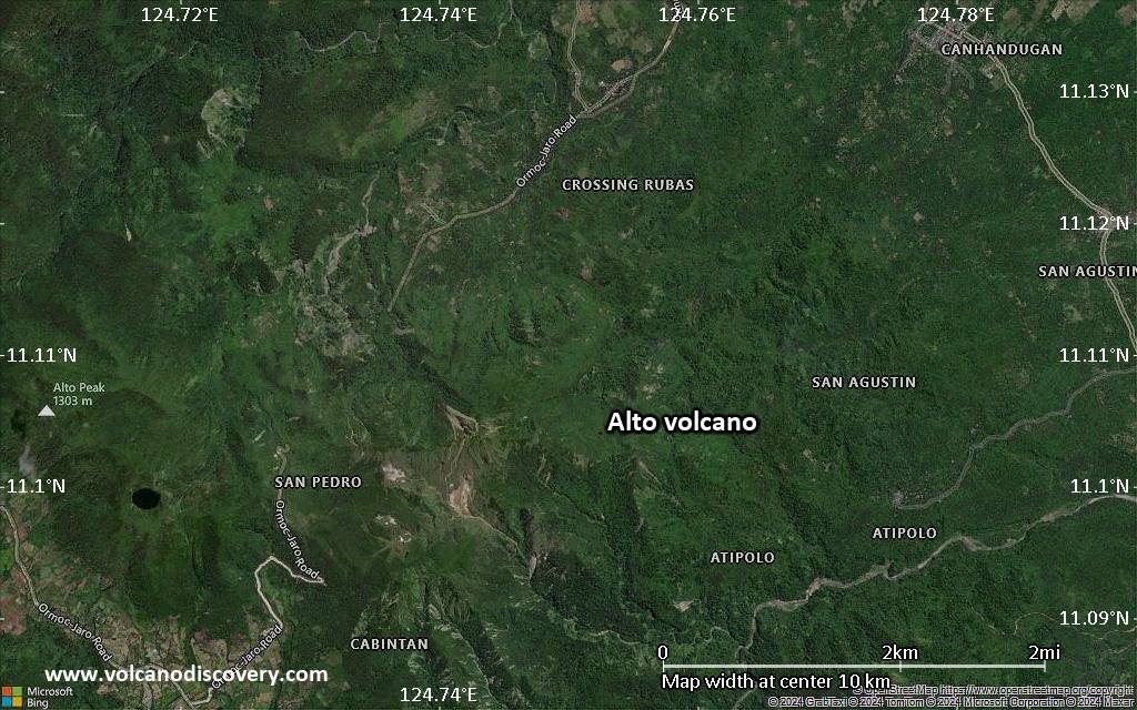
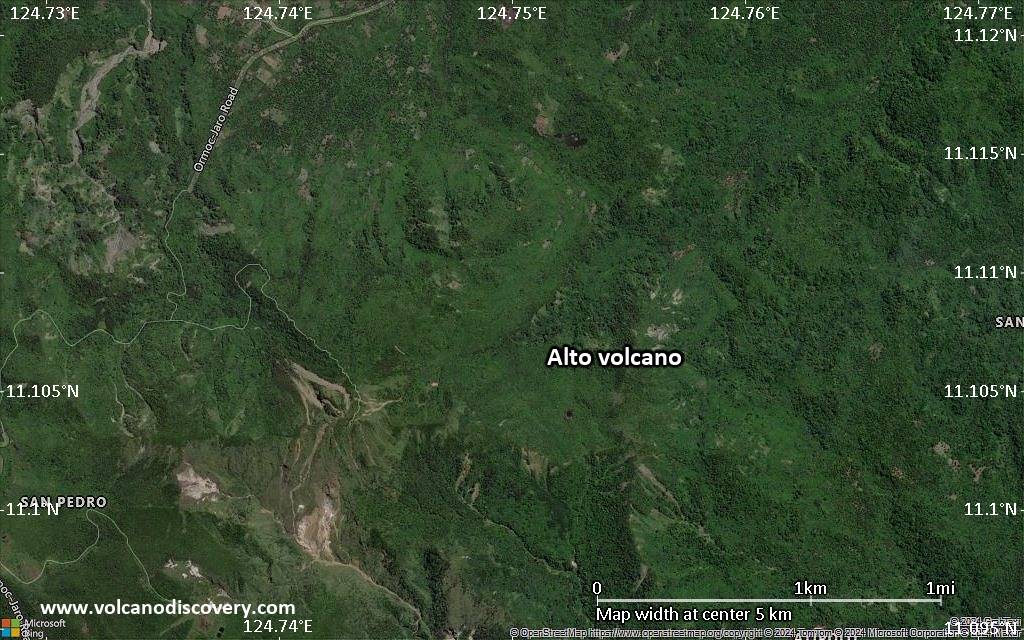
Alto Volcano Maps
Below is a selection of maps showing the location and surroundings of the volcano at various resolutions based on aerial-imagery / terrain maps. Feel free to use them for non-commercial purposes on your blog or website as long as you credit them with a link back to this page (click to copy it).
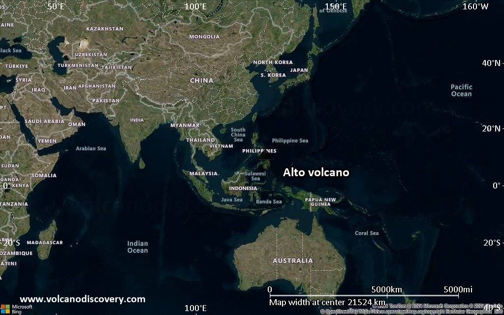
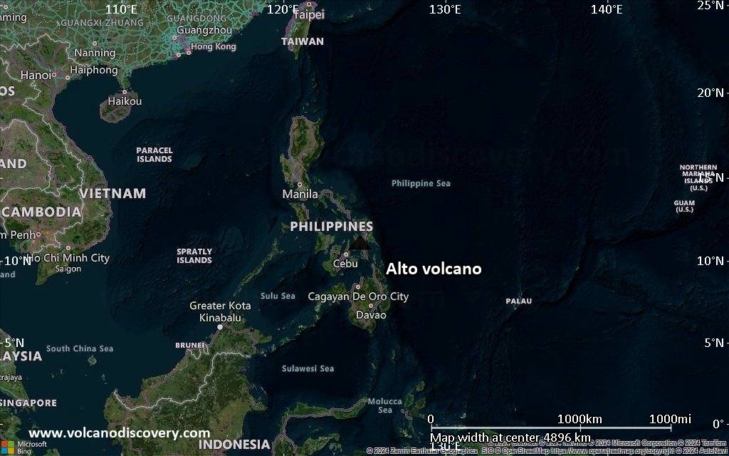
Satellite/aerial-type map of Alto volcano (world scale)

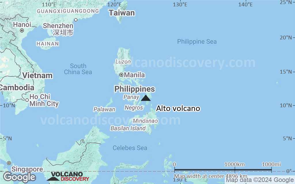
Terrain-type map of Alto volcano (world scale)
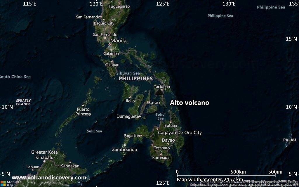
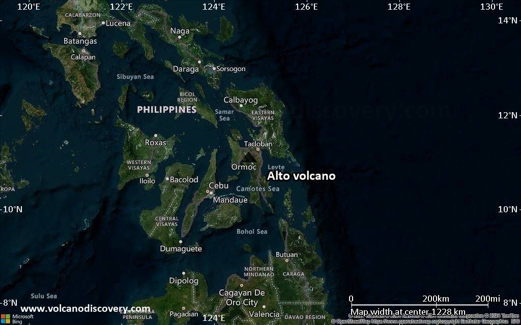
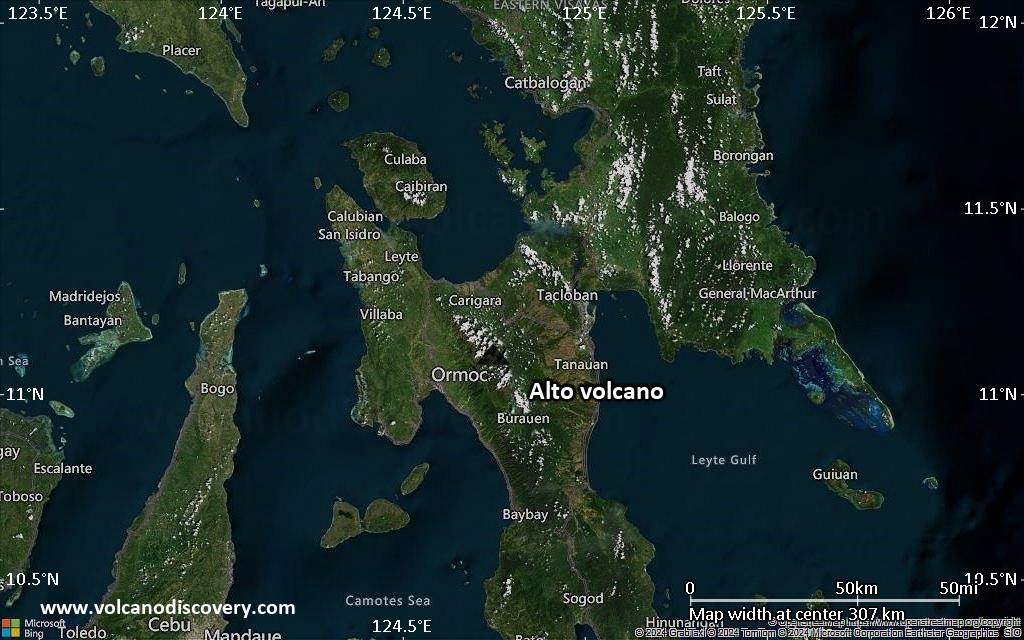
Satellite/aerial-type map of Alto volcano (region scale large)
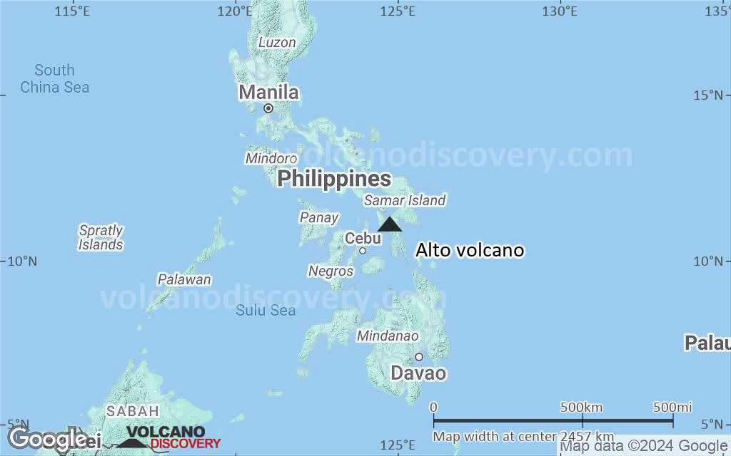
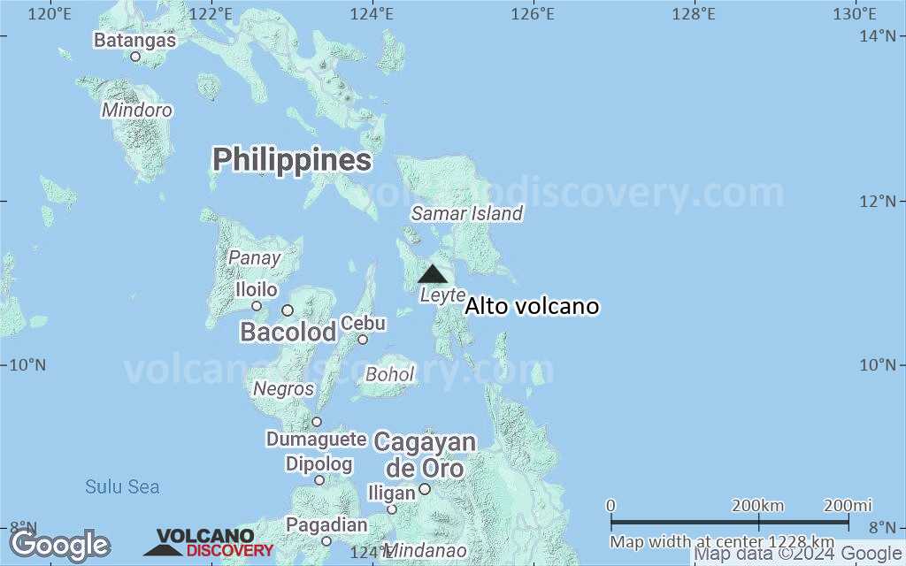
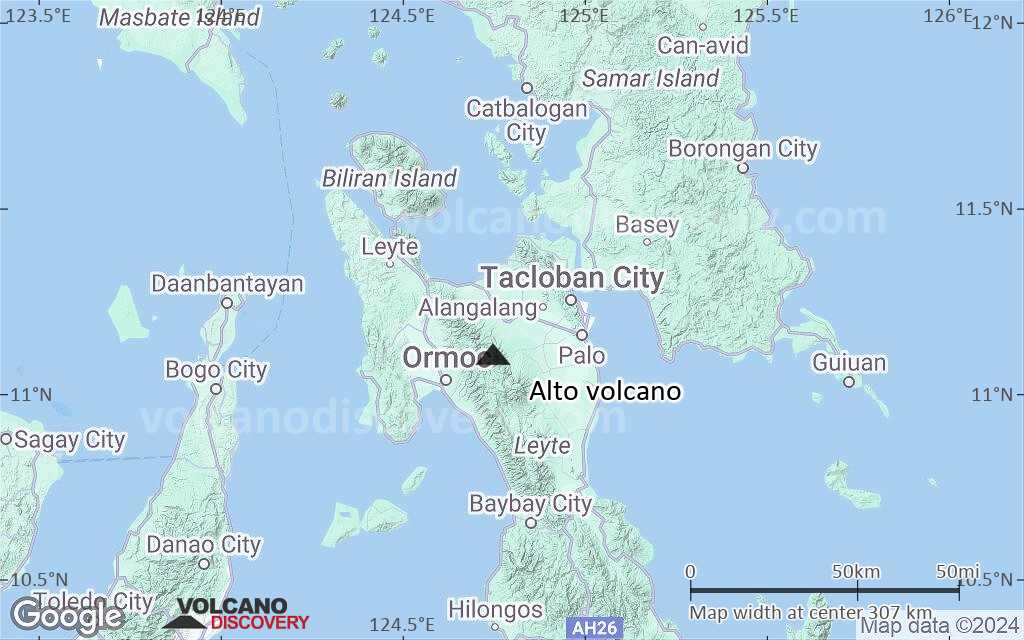
Terrain-type map of Alto volcano (region scale large)
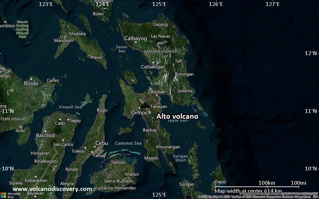
Satellite/aerial-type map of Alto volcano (region scale medium)
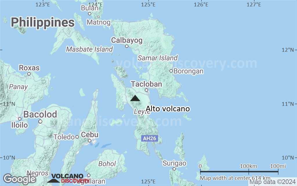
Terrain-type map of Alto volcano (region scale medium)
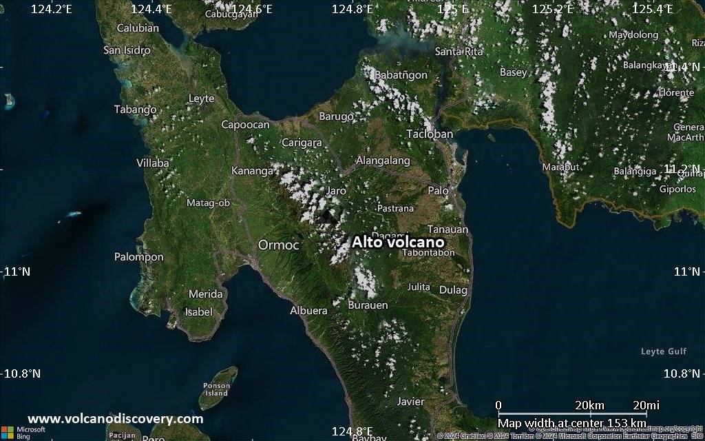
Satellite/aerial-type map of Alto volcano (region scale small)
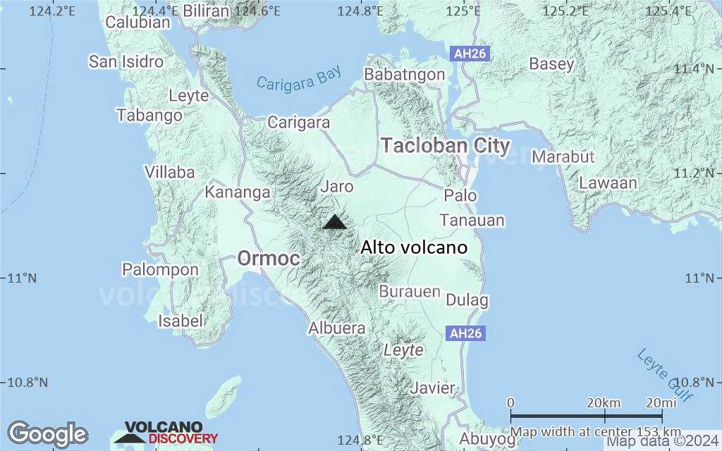
Terrain-type map of Alto volcano (region scale small)
Satellite/aerial-type map of Alto volcano (local scale large)
Terrain-type map of Alto volcano (local scale large)
Satellite/aerial-type map of Alto volcano (local scale medium)
Terrain-type map of Alto volcano (local scale medium)
Satellite/aerial-type map of Alto volcano (local scale small)
Terrain-type map of Alto volcano (local scale small)
Satellite/aerial-type map of Alto volcano (scale of 10s of km)
Terrain-type map of Alto volcano (scale of 10s of km)
Satellite/aerial-type map of Alto volcano (scale of 20-40 km)
Terrain-type map of Alto volcano (scale of 20-40 km)
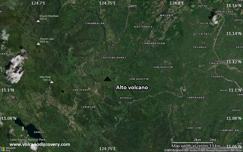
Satellite/aerial-type map of Alto volcano (scale of approx. 10-20 km)
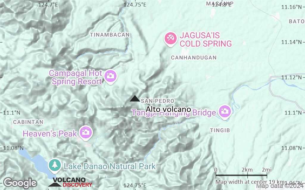
Terrain-type map of Alto volcano (scale of approx. 10-20 km)
Satellite/aerial-type map of Alto volcano (scale of 5-10 km)
Satellite/aerial-type map of Alto volcano (scale of few kilometers)


