Al Harrah Volcano
Updated: Apr 17, 2025 23:53 GMT -
volcanic field
western Saudi Arabia, 31.08°N / 38.42°E 
Summit height: 1100 m / 3,609 ft
Current status: normal or dormant (1 out of 5)
Al Harrah volcano is a large basaltic volcanic field in NW Saudi Arabia near the Jordanian border. It comprises 15,200 sq km of basalt lava flows and forms the southern third of the Harrat Ash Shamah volcanic field, which extends from Syria through Jordan into northern Saudi Arabia.
[smaller] [larger]
Al Harrah volcano eruptions: unknown, less than 10,000 years ago
Latest nearby earthquakes
| Date and Time | Mag / Depth | Distance / Location | |||
|---|---|---|---|---|---|
Background
The Saudi Arabian portion of the Harrat Ash Shamah volcanic field extends across a 210-km-long, roughly 75-km-wide NW-SE-trending area on the NE flanks of the Wadi Sirhan and reaches its 1100 m high point at Jabal al Amud. Activity began during the Miocene; a younger eruptive stage, at the SE end of the volcanic field, occurred during the late-Pleistocene and Holocene.(Smithsonian / GVP volcano information)
Latest satellite images

Al Harrah Volcano Maps
Below is a selection of maps showing the location and surroundings of the volcano at various resolutions based on aerial-imagery / terrain maps. Feel free to use them for non-commercial purposes on your blog or website as long as you credit them with a link back to this page (click to copy it).
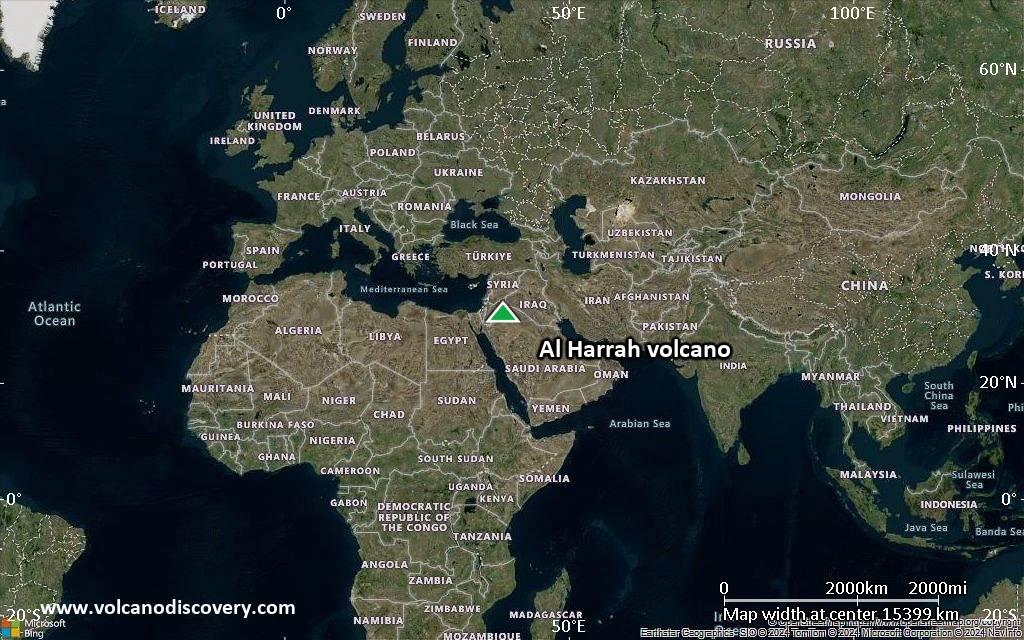
Satellite/aerial-type map of Al Harrah volcano (world scale)
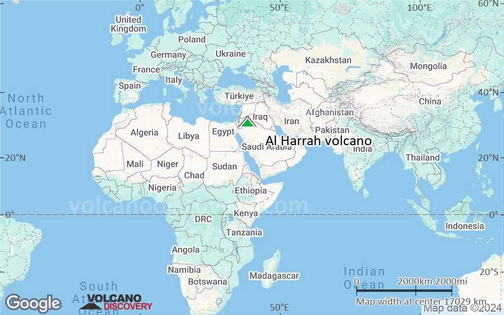
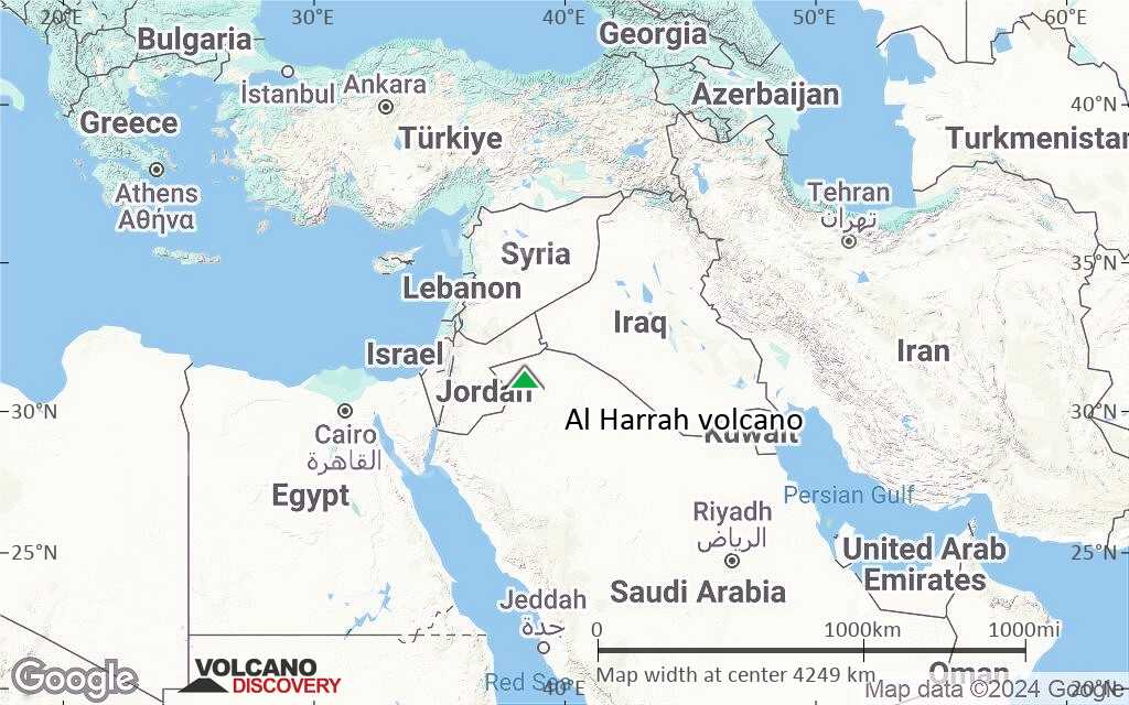
Terrain-type map of Al Harrah volcano (world scale)

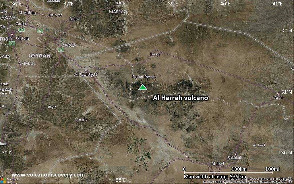
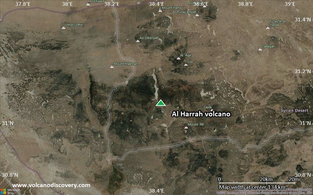
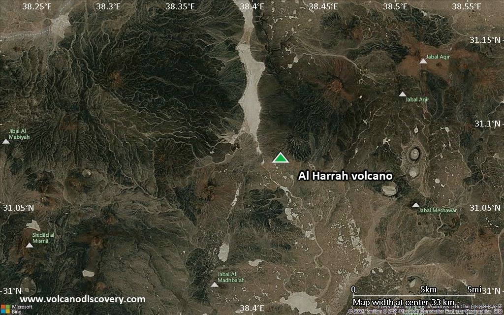
Satellite/aerial-type map of Al Harrah volcano (region scale large)
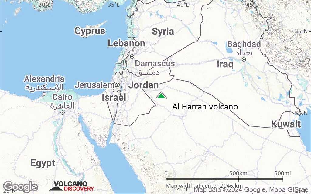
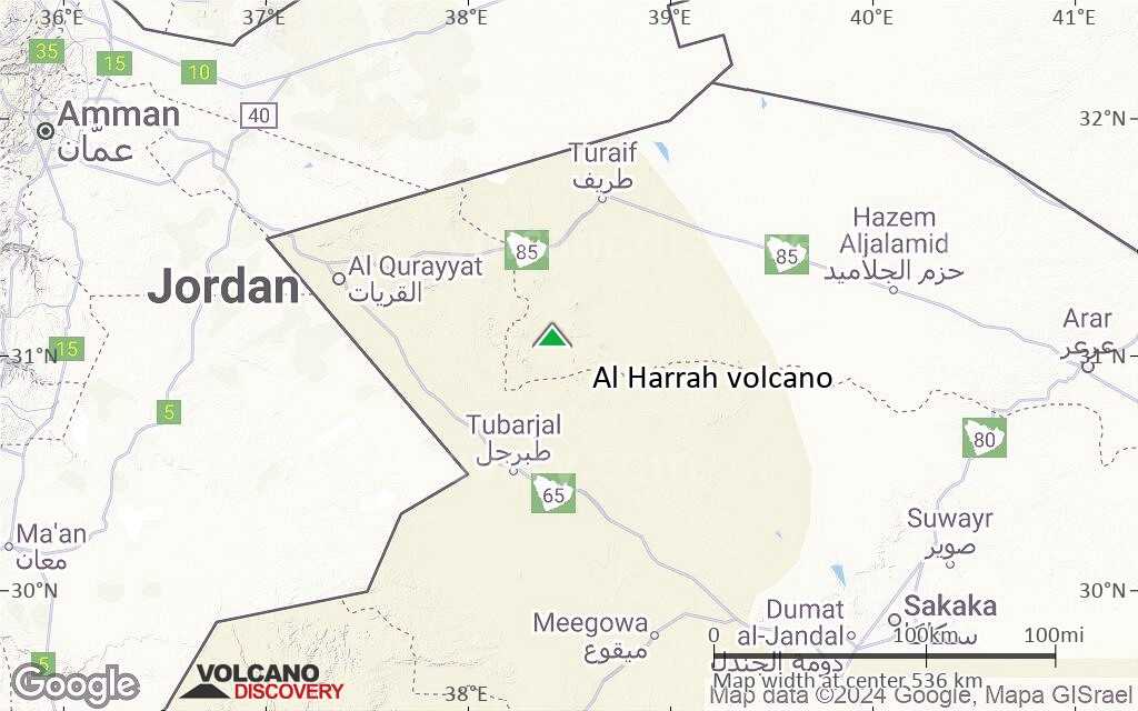
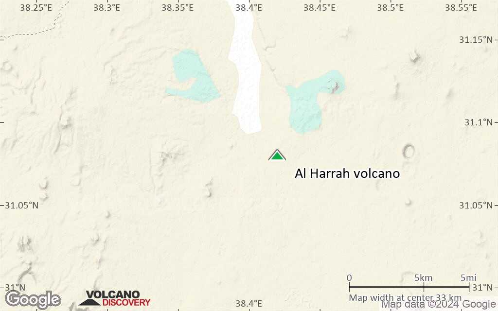
Terrain-type map of Al Harrah volcano (region scale large)

Satellite/aerial-type map of Al Harrah volcano (region scale medium)
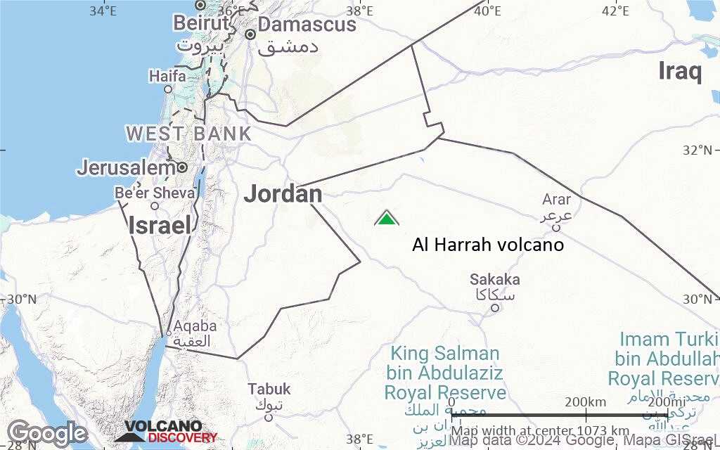
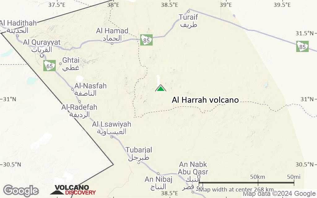
Terrain-type map of Al Harrah volcano (region scale medium)

Satellite/aerial-type map of Al Harrah volcano (region scale small)
Terrain-type map of Al Harrah volcano (region scale small)
Satellite/aerial-type map of Al Harrah volcano (local scale large)
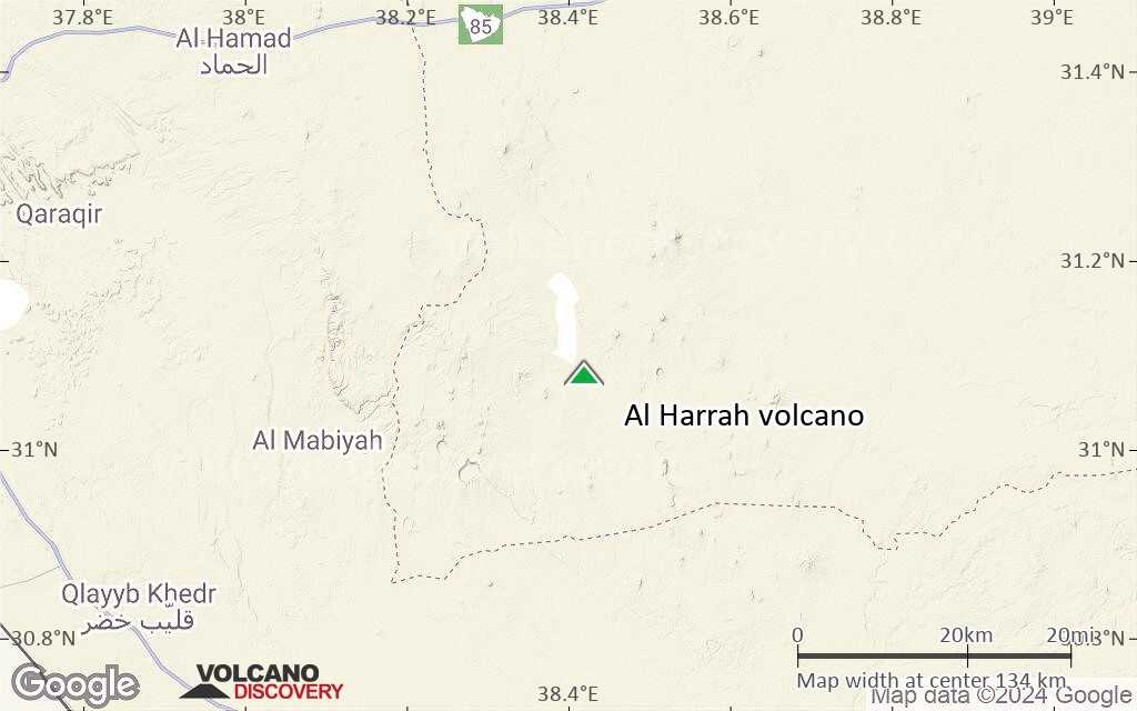
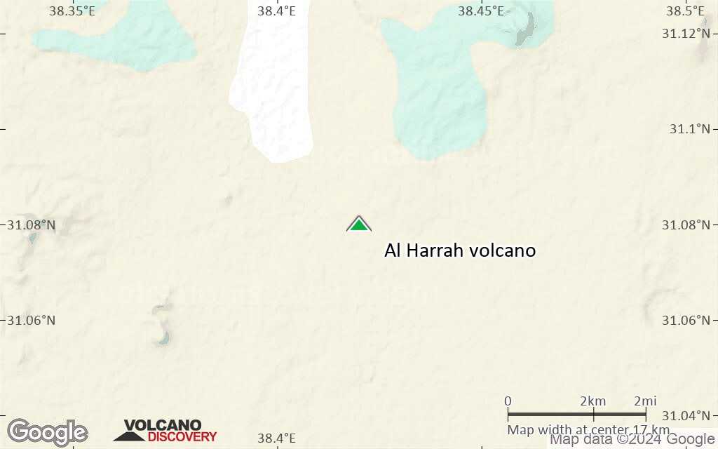
Terrain-type map of Al Harrah volcano (local scale large)

Satellite/aerial-type map of Al Harrah volcano (local scale medium)
Terrain-type map of Al Harrah volcano (local scale medium)
Satellite/aerial-type map of Al Harrah volcano (local scale small)
Terrain-type map of Al Harrah volcano (local scale small)

Satellite/aerial-type map of Al Harrah volcano (scale of 10s of km)

Terrain-type map of Al Harrah volcano (scale of 10s of km)
Satellite/aerial-type map of Al Harrah volcano (scale of 20-40 km)
Terrain-type map of Al Harrah volcano (scale of 20-40 km)

Satellite/aerial-type map of Al Harrah volcano (scale of approx. 10-20 km)
Terrain-type map of Al Harrah volcano (scale of approx. 10-20 km)
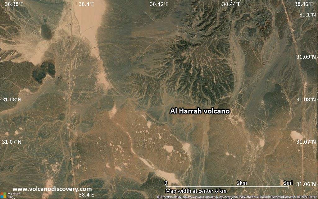
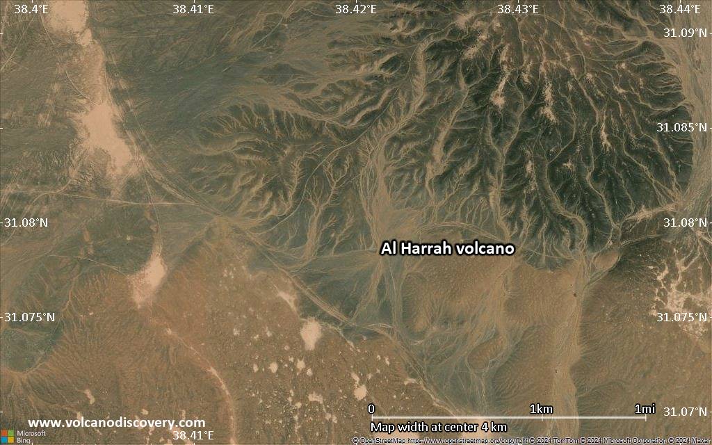
Satellite/aerial-type map of Al Harrah volcano (scale of 5-10 km)
Satellite/aerial-type map of Al Harrah volcano (scale of few kilometers)