


Yabakei Volcano
Updated: Apr 19, 2025 07:08 GMT -
Caldera
Japan, 33.17°N / 131.22°E 
Summit height: 800 m / 2625 ft
Current status: (probably) extinct (0 out of 5)
[smaller] [larger]
Yabakei volcano eruptions: None during the past 10,000 years
Less than few million years ago (Pleistocene)
Latest nearby earthquakes
| Date and Time | Mag / Depth | Distance / Location | |||
|---|---|---|---|---|---|
| Apr 19, 02:42 am (GMT +9) | 0.3 7.5 km | 25 km (16 mi) to the NE | Info | ||
| Apr 19, 01:51 am (GMT +9) | 0.1 6.8 km | 25 km (16 mi) to the NE | Info | ||
| Apr 19, 01:46 am (GMT +9) | 0.7 6 km | 26 km (16 mi) to the NE | Info | ||
| Apr 18, 08:16 pm (GMT +9) | 0.6 6.2 km | 26 km (16 mi) to the NE | Info | ||
| Apr 18, 06:48 pm (GMT +9) | 0.1 6.3 km | 27 km (16 mi) to the NE | Info | ||
| Apr 18, 04:54 pm (GMT +9) | 1.4 6.2 km | 27 km (17 mi) to the NE | Info | ||
| Apr 18, 03:29 pm (GMT +9) | 0.3 5.9 km | 26 km (16 mi) to the NE | Info | ||
| Apr 18, 12:53 pm (GMT +9) | 2.3 5.4 km | 25 km (16 mi) to the NE | Info | ||
| Apr 18, 09:21 am (GMT +9) | 3.3 8.3 km | 26 km (16 mi) to the NE | Info | ||
Background
The largely buried Yabakei caldera (also known as the Shishimuta caldera), a member of the Hohi Volcanic Zone, was the source of two major Pleistocene explosive eruptions producing the dacitic Yabakei (0.1 Ma) and Imaichi (0.9 Ma) pyroclastic flows (Hayashida et al., 1996; Kamata, 1989). The Yabakei pyroclastics take the form of densely welded tuffs, originally more than 110 km3 in total volume, and crop out over an area of about 480 km2 (Kamata, 1989). The 8-km-diameter funnel-shaped caldera is filled with breccia and shows no evidence of resurgent volcanic activity after these two caldera eruptions. However, post-caldera monogenetic activity appears to have continued for about 600,000 years after the caldera activity (Kamata, 1989).---
Source: Smithsonian / GVP volcano information
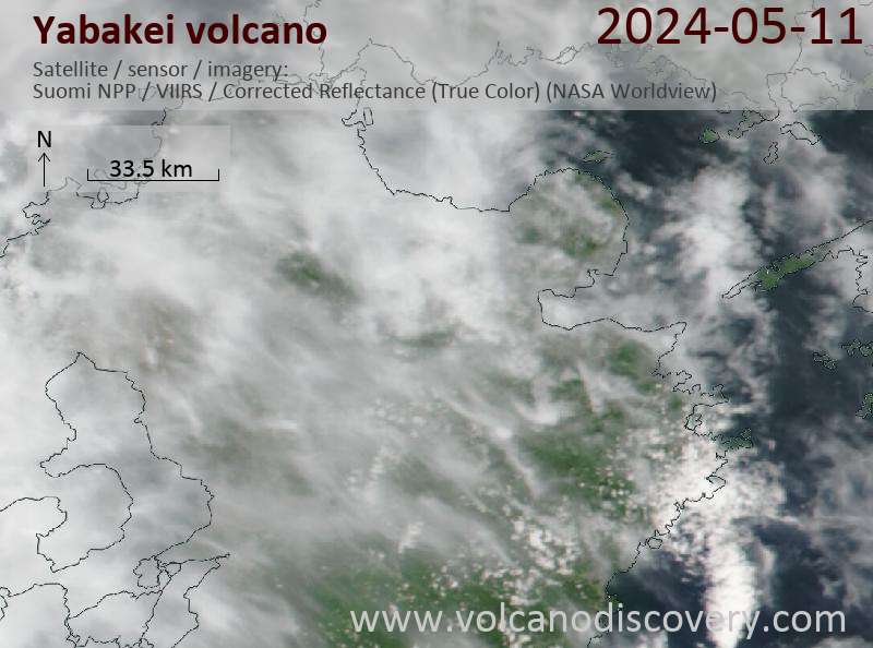
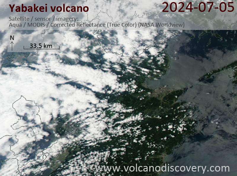
Latest satellite images
Yabakei Volcano Maps
Below is a selection of maps showing the location and surroundings of the volcano at various resolutions based on aerial-imagery / terrain maps. Feel free to use them for non-commercial purposes on your blog or website as long as you credit them with a link back to this page (click to copy it).

Satellite/aerial-type map of Yabakei volcano (world scale)

Terrain-type map of Yabakei volcano (world scale)

Satellite/aerial-type map of Yabakei volcano (region scale large)

Terrain-type map of Yabakei volcano (region scale large)

Satellite/aerial-type map of Yabakei volcano (region scale medium)

Terrain-type map of Yabakei volcano (region scale medium)

Satellite/aerial-type map of Yabakei volcano (region scale small)

Terrain-type map of Yabakei volcano (region scale small)

Satellite/aerial-type map of Yabakei volcano (local scale large)

Terrain-type map of Yabakei volcano (local scale large)

Satellite/aerial-type map of Yabakei volcano (local scale medium)

Terrain-type map of Yabakei volcano (local scale medium)

Satellite/aerial-type map of Yabakei volcano (local scale small)

Terrain-type map of Yabakei volcano (local scale small)

Satellite/aerial-type map of Yabakei volcano (scale of 10s of km)

Terrain-type map of Yabakei volcano (scale of 10s of km)

Satellite/aerial-type map of Yabakei volcano (scale of 20-40 km)

Terrain-type map of Yabakei volcano (scale of 20-40 km)

Satellite/aerial-type map of Yabakei volcano (scale of approx. 10-20 km)

Terrain-type map of Yabakei volcano (scale of approx. 10-20 km)

Satellite/aerial-type map of Yabakei volcano (scale of 5-10 km)

Satellite/aerial-type map of Yabakei volcano (scale of few kilometers)


