


Walo Volcano
Updated: Apr 30, 2025 12:08 GMT -
hydrothermal field
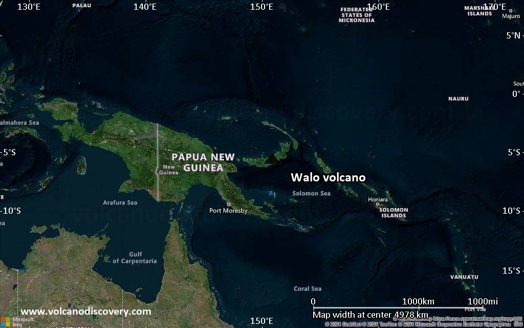
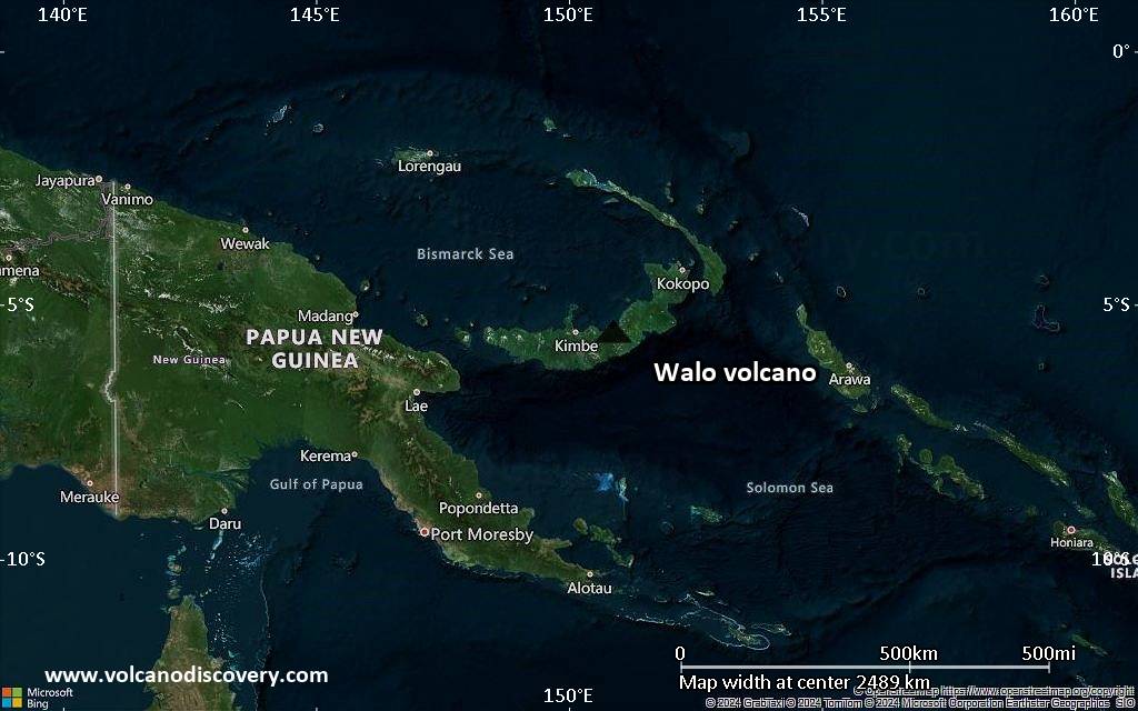
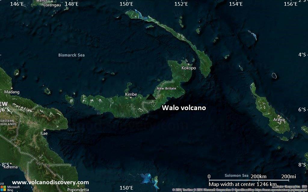
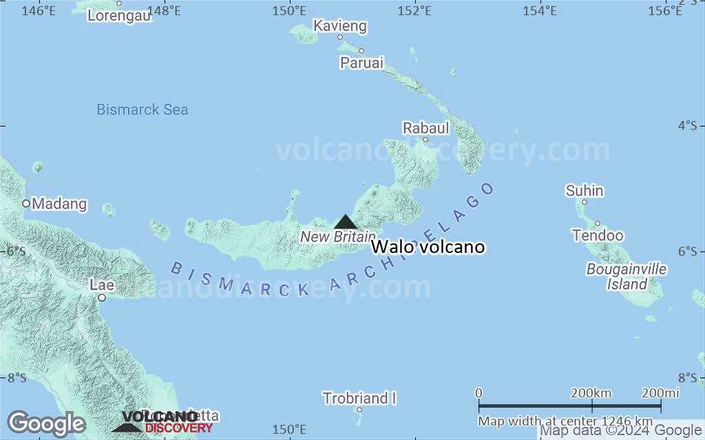
New Britain Island (Papua New Guinea), -5.53°S / 150.9°E 
Summit height: 30 m / 98 ft
Current status: (probably) extinct (0 out of 5)
Walo volcano is not actually a volcano, but a geothermal field 5.5 km from Walo village, Bangula Bay on the north coast of New Britain. There are no exposed volcanic rocks, but it contains fumaraoles and hot springs.
The Walo thermal area is connected to the nearby Sulu Range volcanoes (Karai volcano). The Smithsonian Institution counts Walo as a subfeature of the Sulu Range volcano.
The Walo fumaroles have been used by locals for cooking food.
[smaller] [larger]
Walo volcano eruptions: no eruptions
Latest nearby earthquakes
| Date and Time | Mag / Depth | Distance / Location | |||
|---|---|---|---|---|---|
| Apr 30, 09:51 pm (Port Moresby) | 5.8 68 km | 6 km (3.7 mi) to the S | Info | ||
Eruptions of Walo volcano
2006 increased activity
Following the first two weeks of unrest at Karai volcano during mid-July 2006, a report by the Rabaul Volcano Observatory (RVO) stated that during 31 July to 2 August, the hydrothermal activity at Walo were undergoing unusually strong activity. This included expelled mud, the emergence of geysers, and abnormal quantities of steam.
(http://www.volcano.si.edu/world/volcano.cfm?vnum=0502-09=&volpage=var#bgvn_3204)
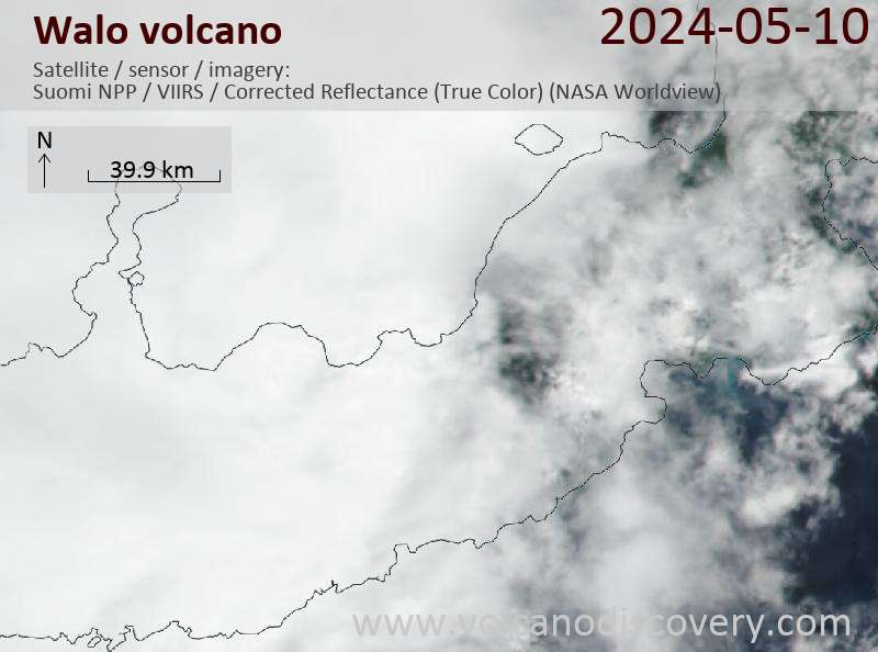
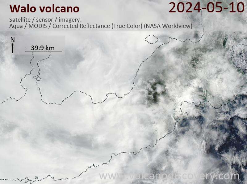
Latest satellite images
Walo Volcano Maps
Below is a selection of maps showing the location and surroundings of the volcano at various resolutions based on aerial-imagery / terrain maps. Feel free to use them for non-commercial purposes on your blog or website as long as you credit them with a link back to this page (click to copy it).
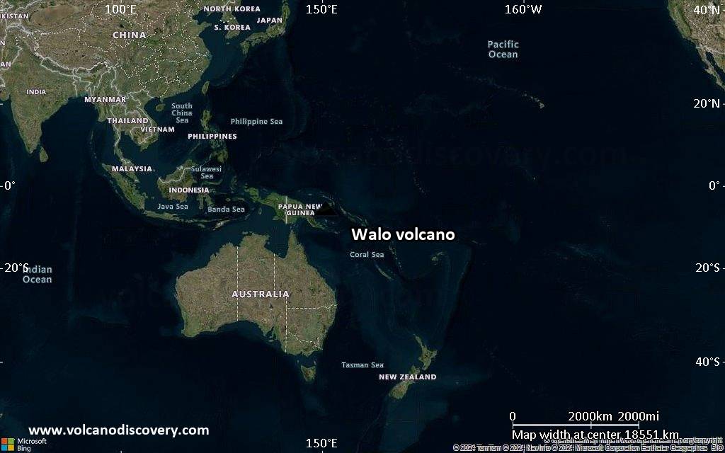
Satellite/aerial-type map of Walo volcano (world scale)
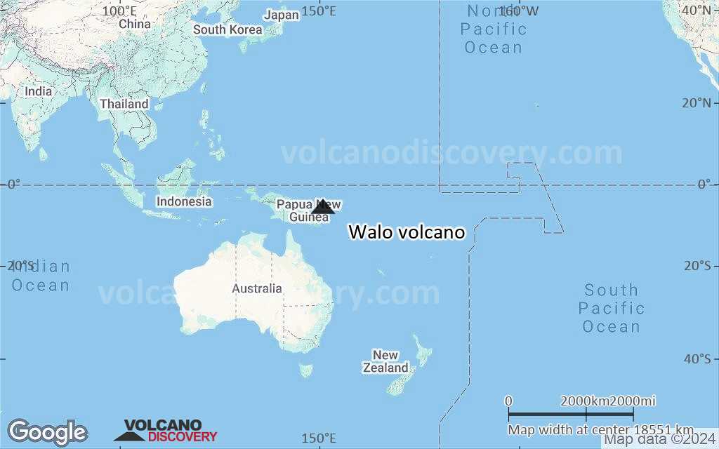
Terrain-type map of Walo volcano (world scale)
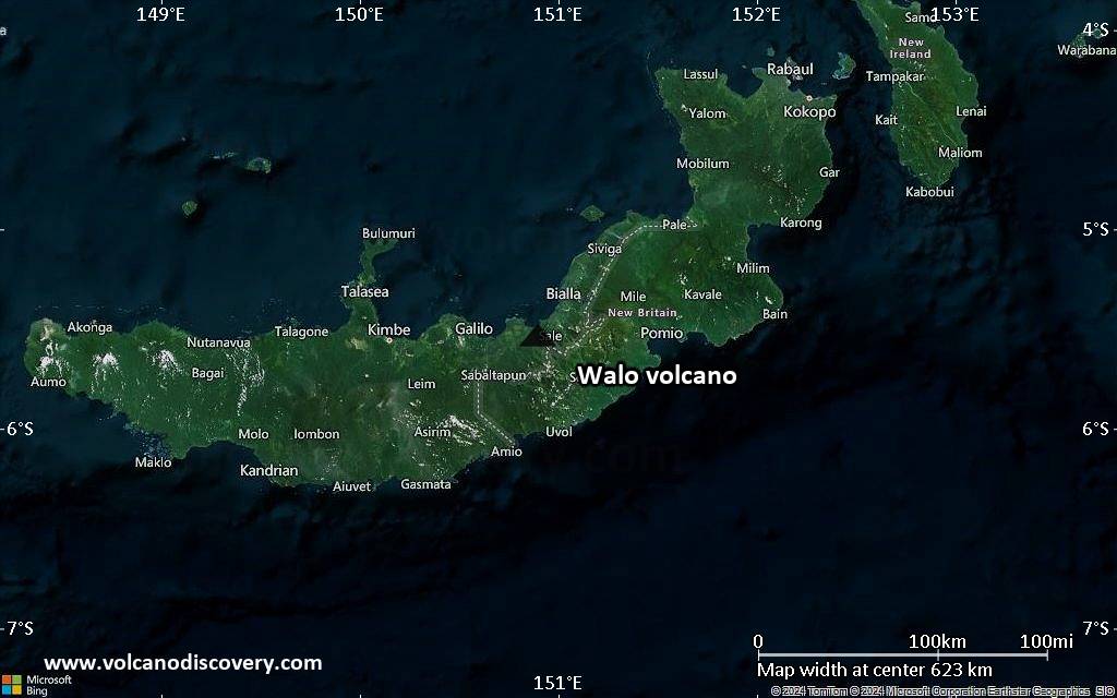
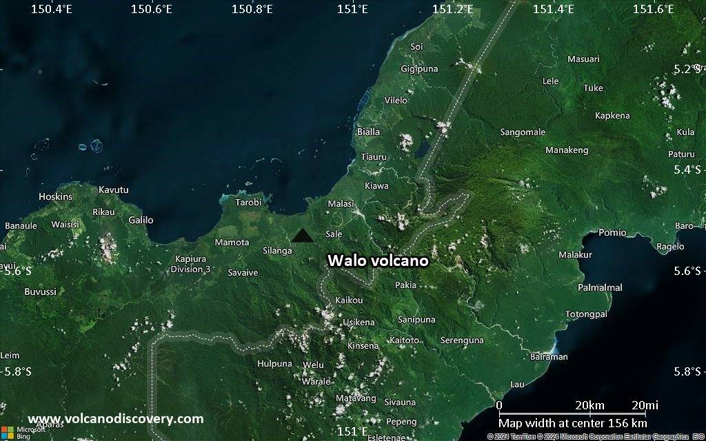
Satellite/aerial-type map of Walo volcano (region scale large)

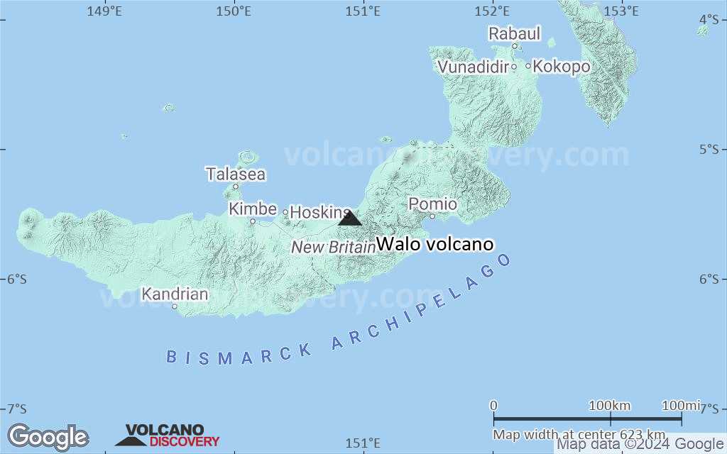
Terrain-type map of Walo volcano (region scale large)
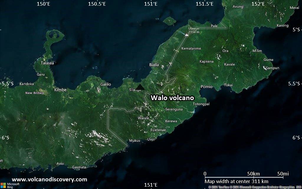
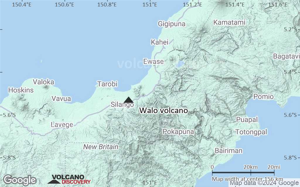
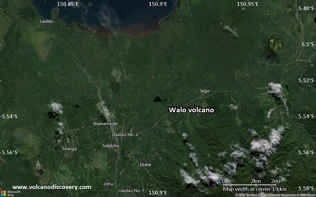
Satellite/aerial-type map of Walo volcano (region scale medium)

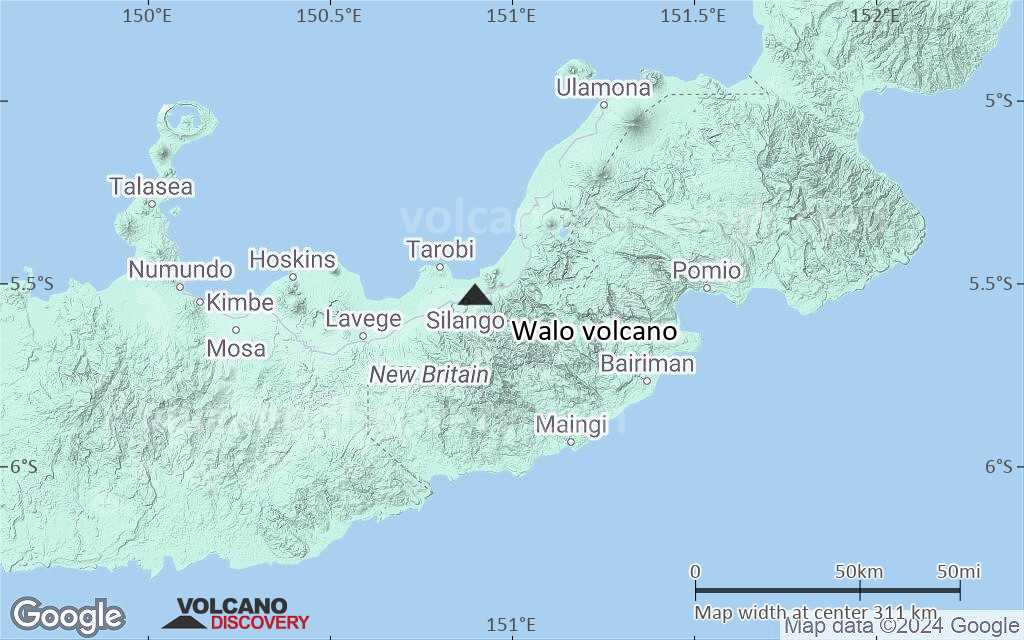
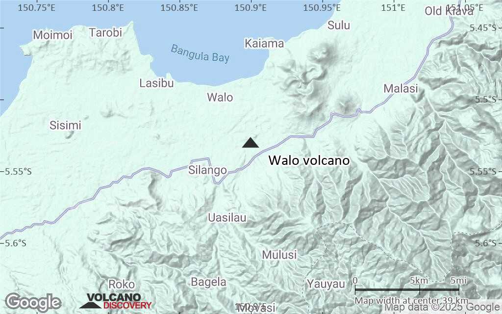
Terrain-type map of Walo volcano (region scale medium)
Satellite/aerial-type map of Walo volcano (region scale small)
Terrain-type map of Walo volcano (region scale small)
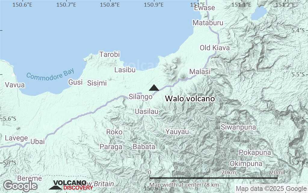
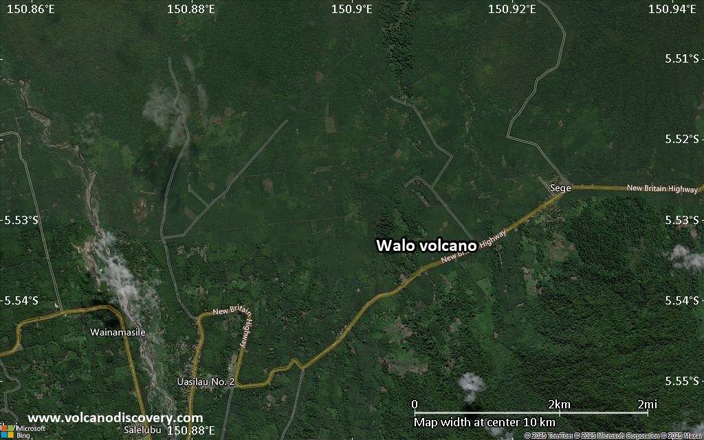
Satellite/aerial-type map of Walo volcano (local scale large)
Terrain-type map of Walo volcano (local scale large)
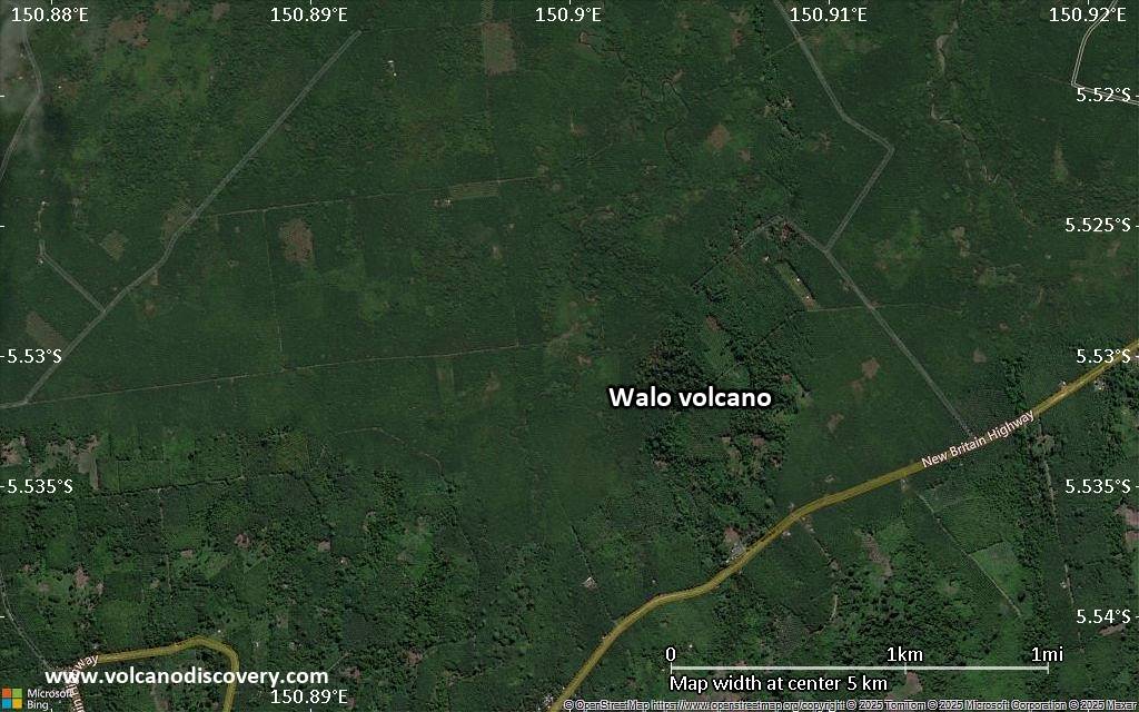
Satellite/aerial-type map of Walo volcano (local scale medium)
Terrain-type map of Walo volcano (local scale medium)
Satellite/aerial-type map of Walo volcano (local scale small)
Terrain-type map of Walo volcano (local scale small)

Satellite/aerial-type map of Walo volcano (scale of 10s of km)
Terrain-type map of Walo volcano (scale of 10s of km)
Satellite/aerial-type map of Walo volcano (scale of 20-40 km)
Terrain-type map of Walo volcano (scale of 20-40 km)
Satellite/aerial-type map of Walo volcano (scale of approx. 10-20 km)

Terrain-type map of Walo volcano (scale of approx. 10-20 km)
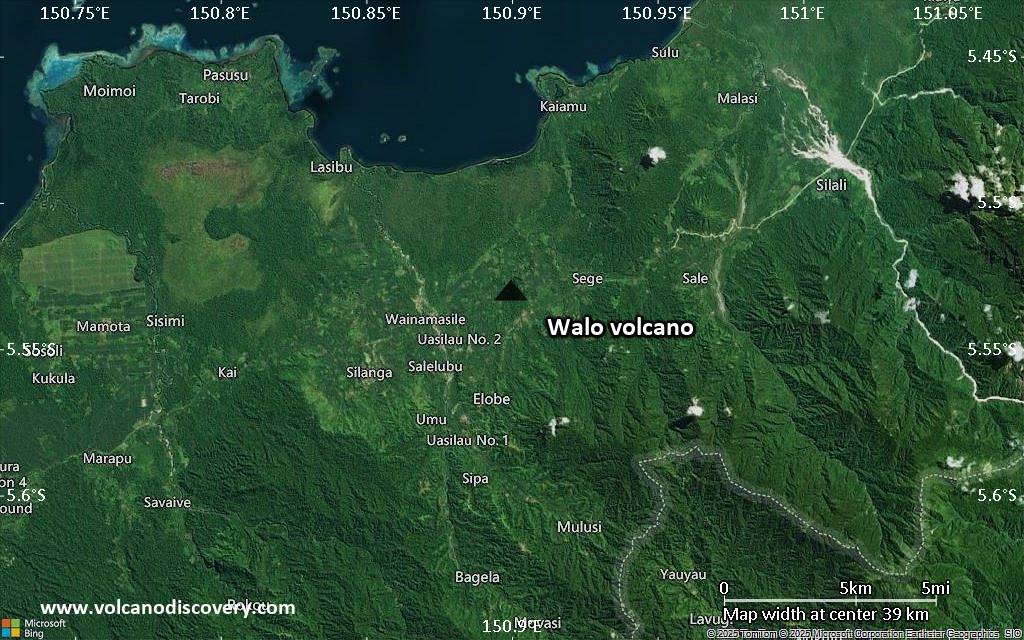
Satellite/aerial-type map of Walo volcano (scale of 5-10 km)
Satellite/aerial-type map of Walo volcano (scale of few kilometers)


