Ventotene Volcano
Updated: Apr 26, 2025 01:32 GMT -
Stratovolcano(es)
Italy, 40.8°N / 13.42°E 
Summit height: 139 m / 456 ft
Current status: (probably) extinct (0 out of 5)
[smaller] [larger]
Ventotene volcano eruptions: None during the past 10,000 years
Less than 2.58 million years ago (Pleistocene)
Latest nearby earthquakes
| Date and Time | Mag / Depth | Distance / Location | |||
|---|---|---|---|---|---|
Background
Ventotene is a trachybasaltic to phonolitic stratovolcano with associated lava flows, domes, and pyroclastics (IAVCEI, 1973; Peccerillo, 2005). The mafic lava flows are cut by a caldera rim and overlain by pyroclastics. The nearby Santo Stefano island is an associated lava dome, also covered by pyroclastics. The pyroclastics are the products of both magmatic and hydrovolcanic processes, and contain lava lithic fragments and xenoliths (Peccerillio, 2005). Scandone (pers. comm.) gives 0.3 Ma as the youngest age for the Ventotene volcanics, but Peccerillo (2005) gives an age range of 0.8 to less than 0.13 Ma.---
Smithsonian / GVP volcano information
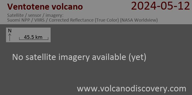
Latest satellite images
Ventotene Volcano Maps
Below is a selection of maps showing the location and surroundings of the volcano at various resolutions based on aerial-imagery / terrain maps. Feel free to use them for non-commercial purposes on your blog or website as long as you credit them with a link back to this page (click to copy it).
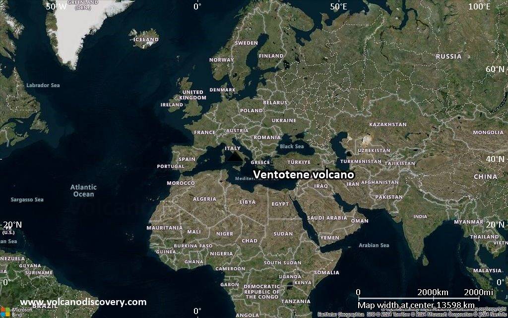
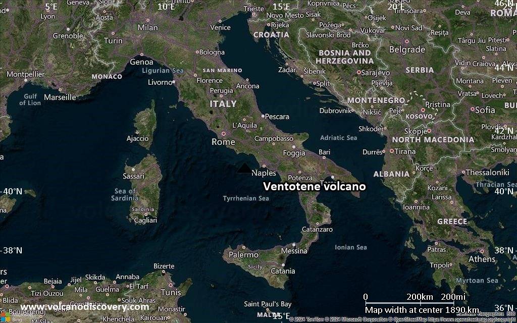
Satellite/aerial-type map of Ventotene volcano (world scale)

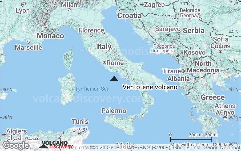
Terrain-type map of Ventotene volcano (world scale)
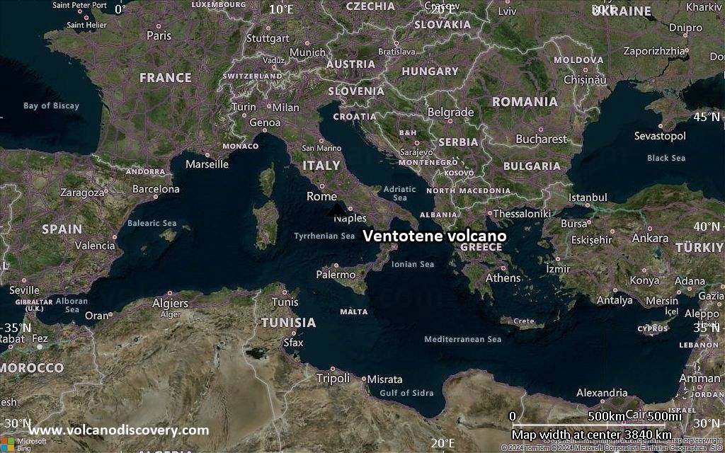
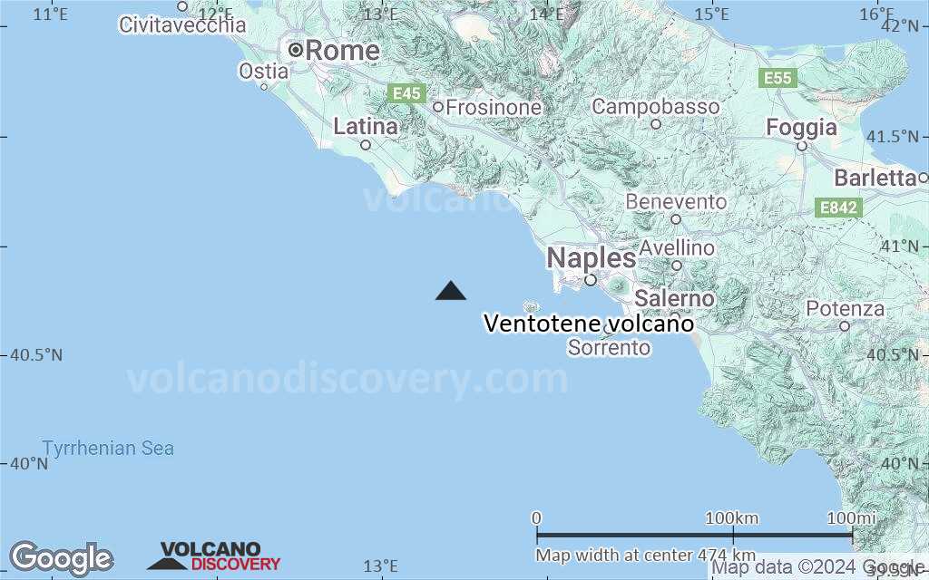
Satellite/aerial-type map of Ventotene volcano (region scale large)
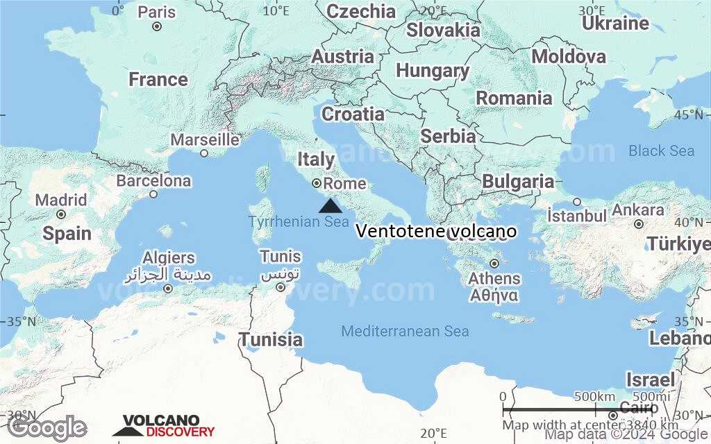
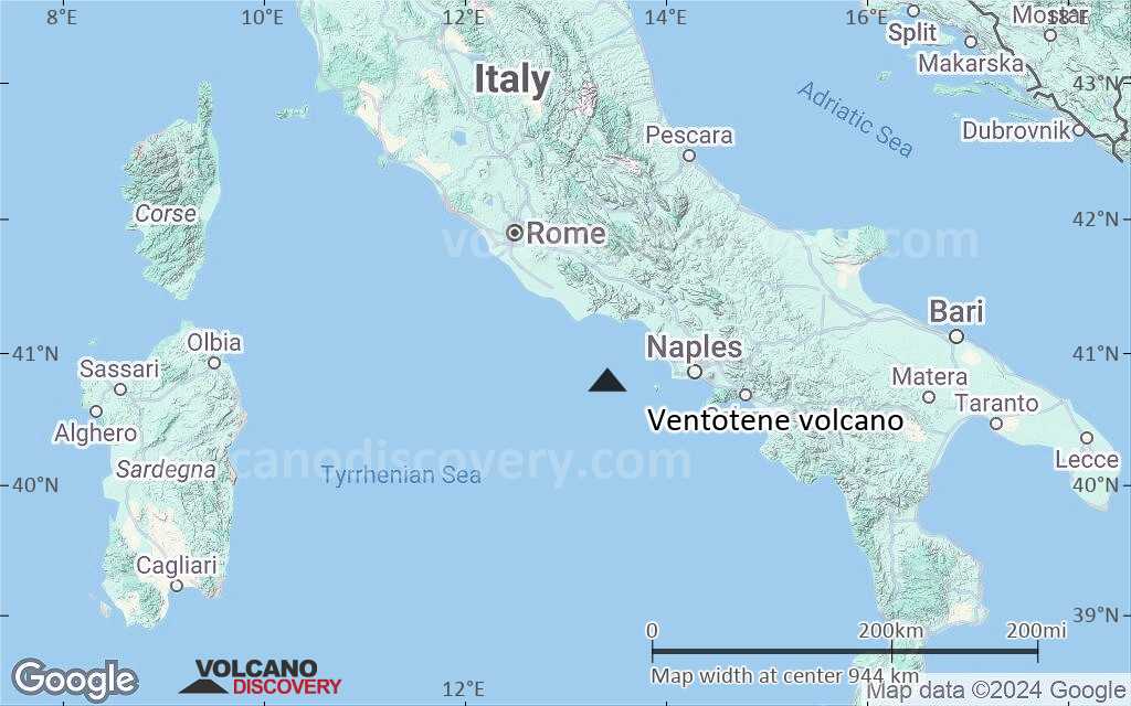
Terrain-type map of Ventotene volcano (region scale large)
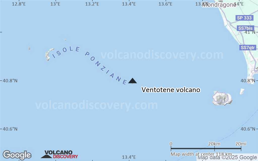
Satellite/aerial-type map of Ventotene volcano (region scale medium)
Terrain-type map of Ventotene volcano (region scale medium)

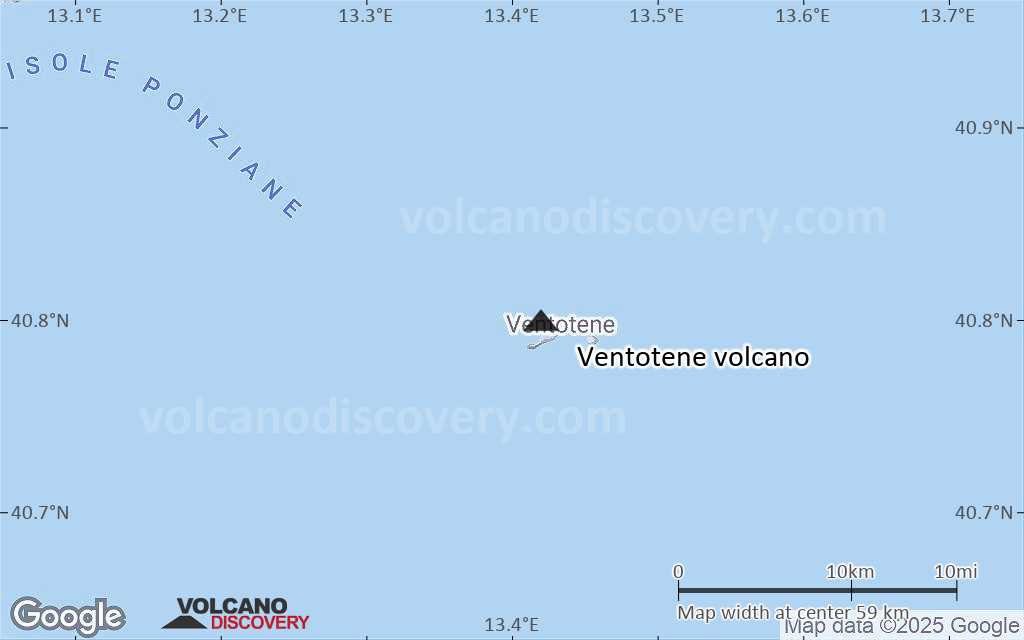
Satellite/aerial-type map of Ventotene volcano (region scale small)
Terrain-type map of Ventotene volcano (region scale small)
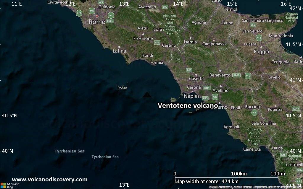
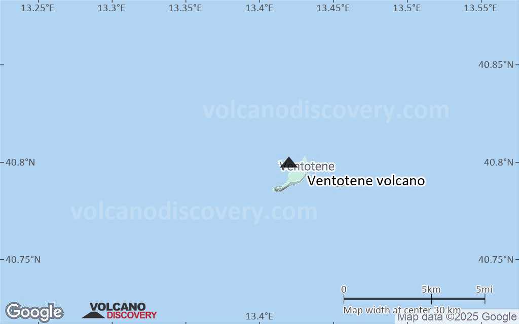
Satellite/aerial-type map of Ventotene volcano (local scale large)
Terrain-type map of Ventotene volcano (local scale large)

Satellite/aerial-type map of Ventotene volcano (local scale medium)

Terrain-type map of Ventotene volcano (local scale medium)

Satellite/aerial-type map of Ventotene volcano (local scale small)
Terrain-type map of Ventotene volcano (local scale small)

Satellite/aerial-type map of Ventotene volcano (scale of 10s of km)
Terrain-type map of Ventotene volcano (scale of 10s of km)

Satellite/aerial-type map of Ventotene volcano (scale of 20-40 km)
Terrain-type map of Ventotene volcano (scale of 20-40 km)

Satellite/aerial-type map of Ventotene volcano (scale of approx. 10-20 km)
Terrain-type map of Ventotene volcano (scale of approx. 10-20 km)

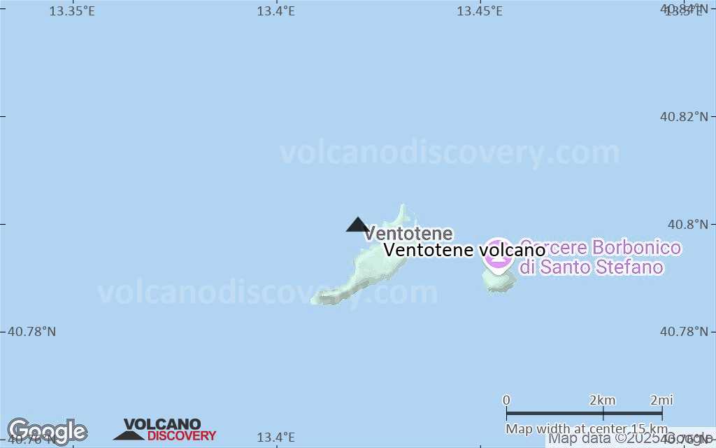
Satellite/aerial-type map of Ventotene volcano (scale of 5-10 km)

Satellite/aerial-type map of Ventotene volcano (scale of few kilometers)