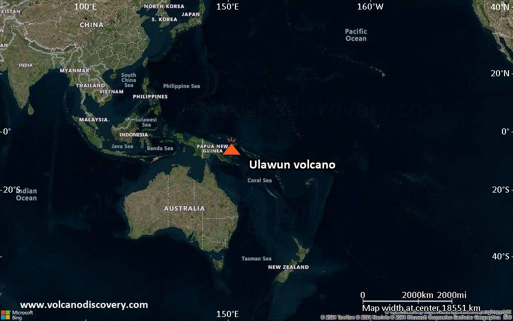
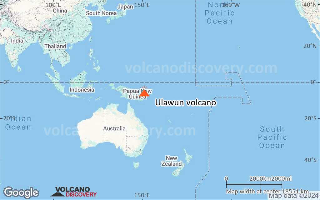
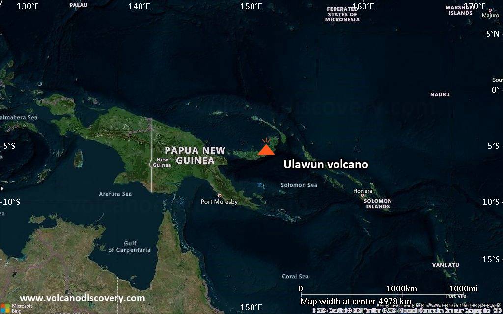
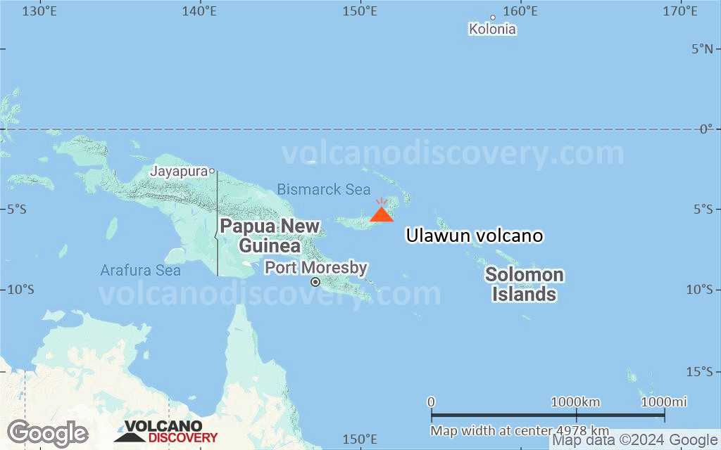
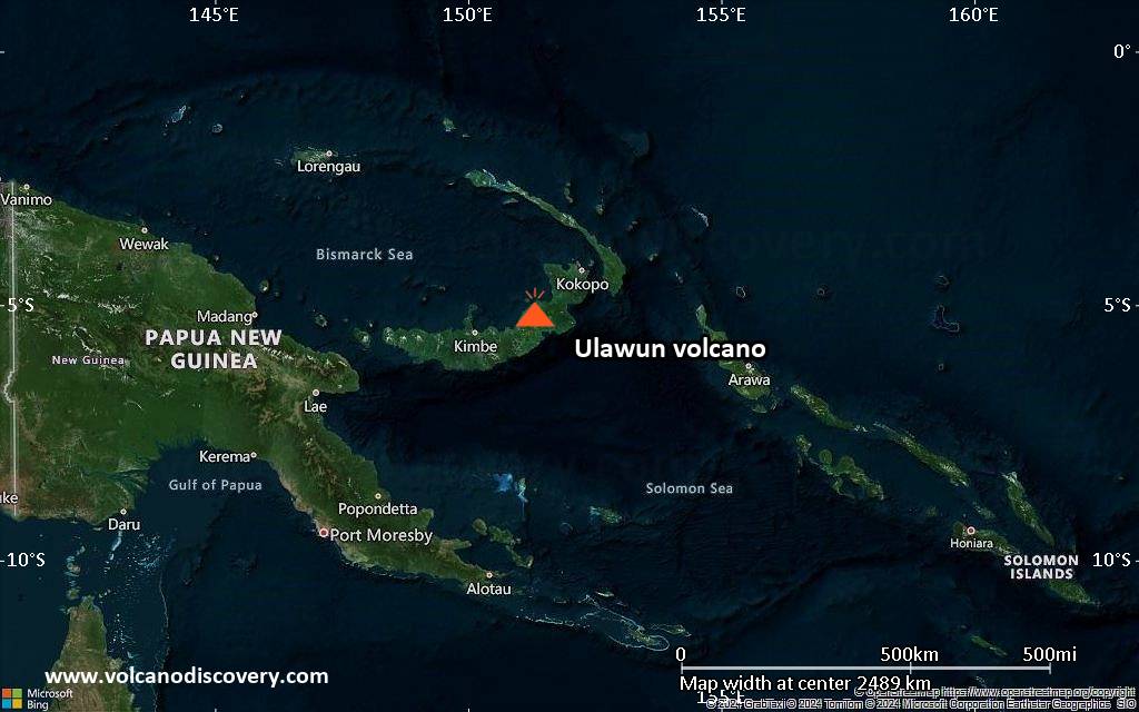
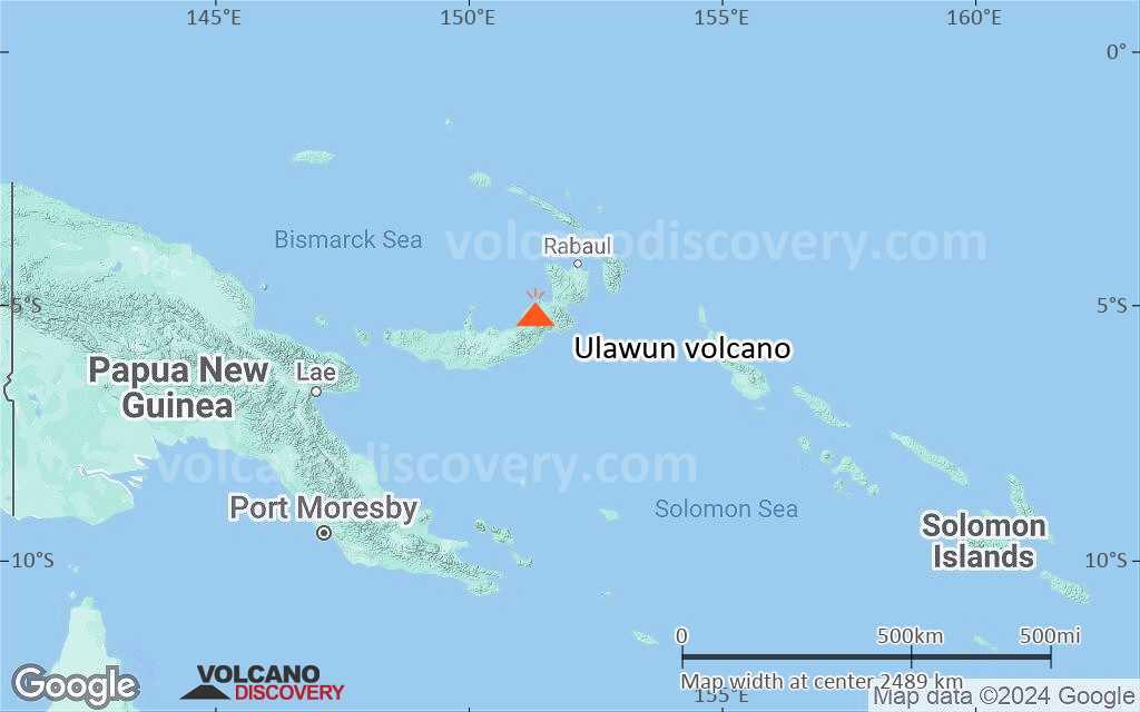
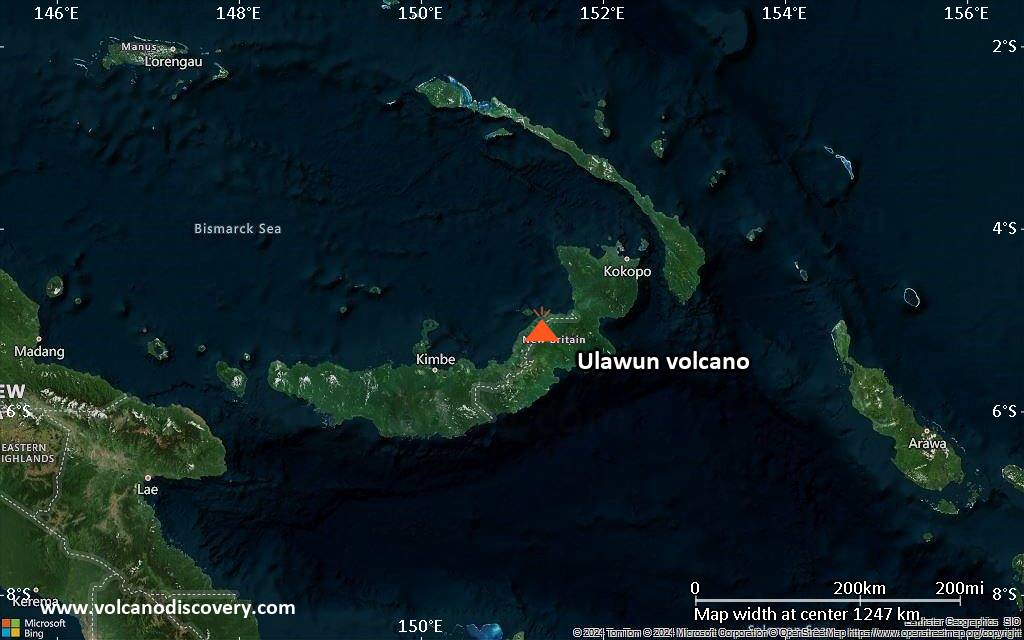
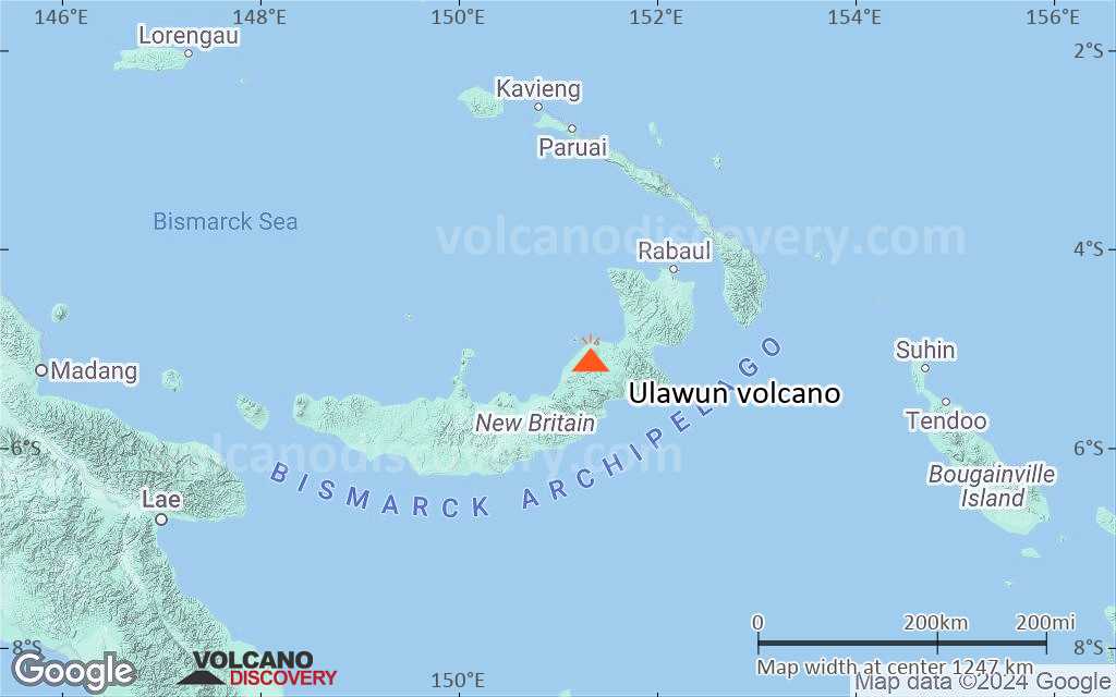
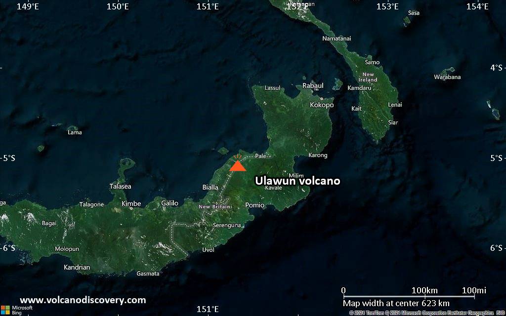
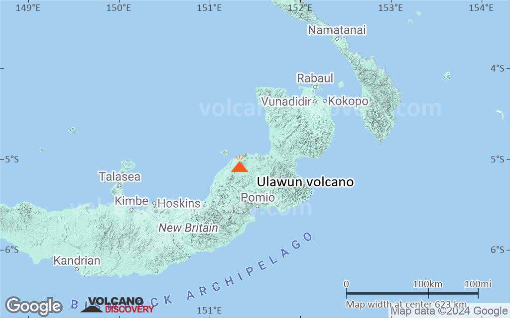
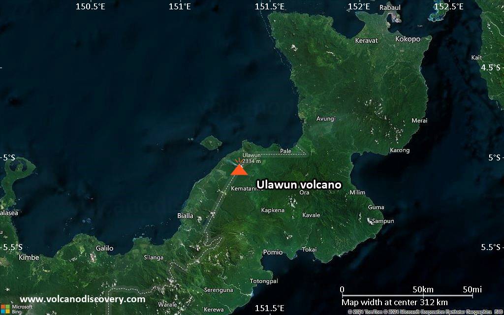
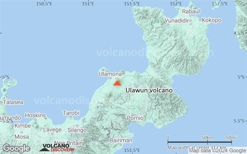
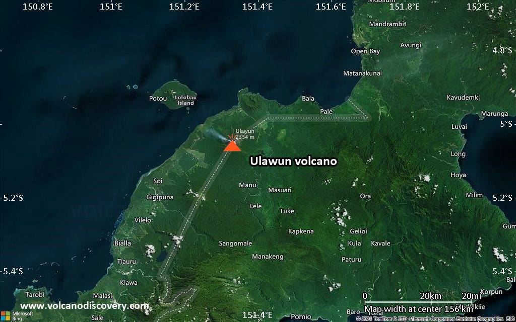
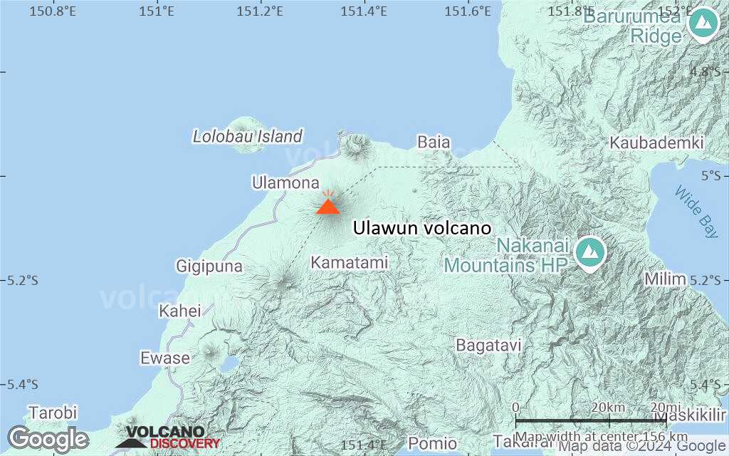
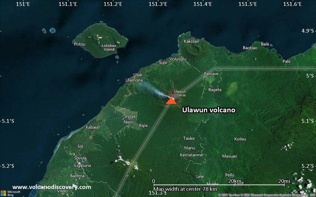
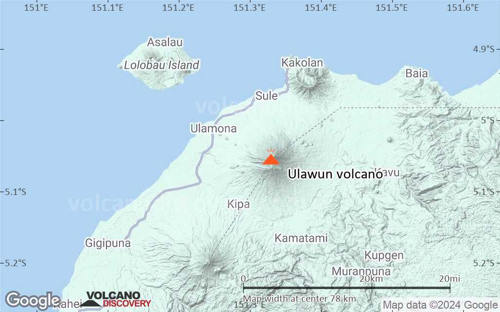
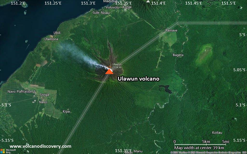
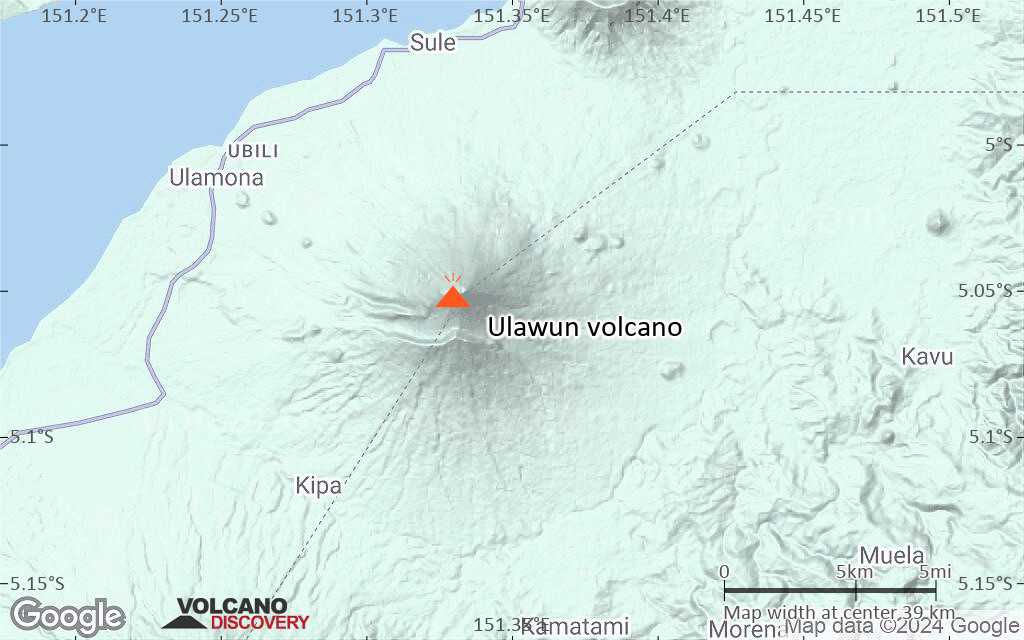
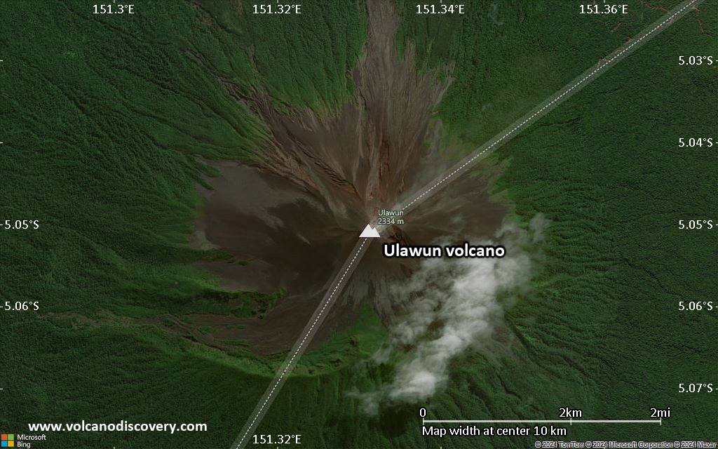
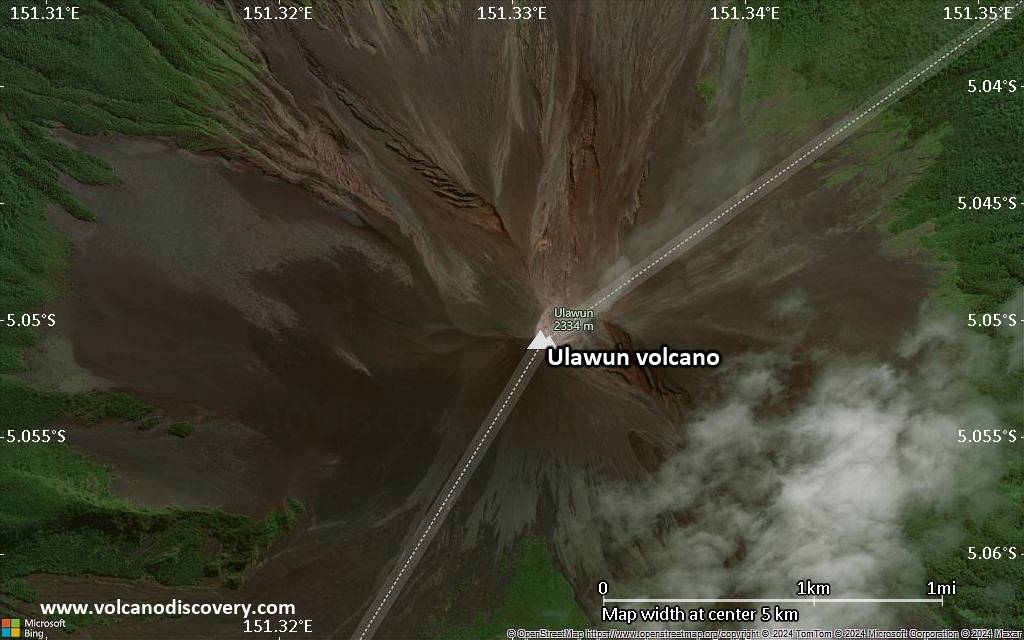
Ulawun Volcano
Ulawun (also locally known as the "father" //commemt: Bamus being the "son") is a symmetrical large stratovolcano on New Britain Island. It rises majestically above the north coast of New Britain across a low saddle NE of Bamus volcano, the South Son.
Ulawun is one Papua New Guinea's most active and most dangerous volcanoes. Rising to 2334 m, it is also the highest of the 1000 km long chain of the Bismarck volcanic arc which stretches from Rabaul volcano in the East to Wewak in the west and contains no less than 21 active volcanoes.
Ulawun volcano eruptions: 2010-2011 (ongoing), 2000-08, 1994, 1993, 1989, 1985, 1984-85, 1984, 1983-84, 1980, 1978, 1973, 1970, 1967, 1963, 1960-62, 1958, 1951?, 1941, 1937?, 1927, 1919, 1918, 1915, 1898, 1878, 1700
Latest nearby earthquakes
| Date and Time | Mag / Depth | Distance / Location | |||
|---|---|---|---|---|---|
Background
Ulawun volcano is basaltic-to-andesitic Ulawun in composition and composed of lava flows interbedded with tephra layers.Eruptions from Ulawun
Historical records from Ulawun reach relatively far back. The historic account of an eruption of Ulawun volcano was by the English discoverer William Dampier (1651-1715) in 1700. However, lack of activity or further reports by explorers led to a large gap of informatio until, 178 years later, the Australian businessman Wilfred Powell reported activity in 1878.
The largest eruptions in historic times were in 1915, 1970, and 1980. The eruption in 1915 deposited 10 cm of ash in Toriu, 50 km northeast of the volcano. The eruption of 1970 produced nuees ardentes (pyroclastic flows) and lava flows.
A major eruption in 1980 produced an eruption column rising to 60,000 ft (ca. 20 km) and produced pyroclastic flows which swept all flanks of the volcano and devastated an area of 20 square km.
The last larger eruptions devastated the flanks of Ulawun, produced large andesitic lava flows and greatly modified the summit crater.
Typical smaller eruptions from Ulawun range from strombolian-type explosions to lava dome growth with associated small ash explosions and small nuées ardentes.
Morphology
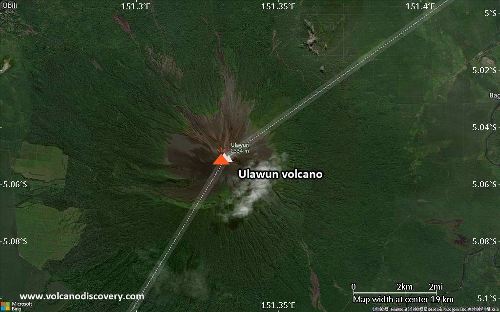
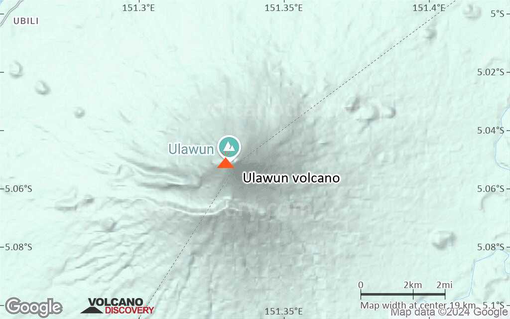
The upper 1000 m of Ulawun volcano are unvegetated. A prominent E-W-trending escarpment on the south may be the result of large-scale slumping. Satellitic cones occupy the NW and eastern flanks. A steep-walled valley cuts the NW side of Ulawun volcano, and a flank lava-flow complex lies to the south of this valley.
Hazards from Ulawun volcano
Slope failure: Ulawun volcano, along with its neighbor Bamus, is 400 m higher than most of the volcanoes in the Bismarck. This could indicate that the edifice is at the limit of structural stability. Consequently, massive slope failure is a major hazard at Ulawun volcano, which could threaten hundreds of square km of surrounding land.
Pyroclastic flows: lava dome growth and large explosive eruptions often produced devastating pyroclastic flows at Ulawun, reaching many km from the summit of the volcano causing substantial damage.
Ash fall: the larger eruptions from Ulawun can cause significant ash fall in surrounding areas as well threaten air traffic routes.
Sources:
- Smithsonian / GVP volcano information
- Johnson et al (1983) "Bamus volcano, Papua New Guinea: Dormant neighbour of Ulawun, and magnesian-andesite locality", Geologische Rundschau, Volume 72, Number 1, pp. 207-237
- R.W. Johnson, R.A. Davies and A.J.R. White (1972) "Ulawun Volcano, New Britain", Australian Government Publishing Service, Canberra
- Powell, W (1883) "Visits to the eastern and north-eastern coast of New Guinea", Proceedings of the Royal Geographical Society and Monthly Record of Geography 5, 505-517 (London)
Significant volcanic eruptions: Ulawun volcano
| Date | Note | VEI | Deaths | Damage | |
|---|---|---|---|---|---|
Historical obs./docs. | 3 | ||||
Historical obs./docs. | 1 | ||||
Historical obs./docs. | 2 | ||||
Historical obs./docs. | 2 | ||||
Historical obs./docs. | 4 | ||||
| 2019 Jun 26 (eruption | Historical obs./docs. | 4 | heavy | Info | |
Historical obs./docs. | 2 | ||||
Historical obs./docs. | 1 | ||||
| Summit crater Historical obs./docs. | 1 | ||||
| Summit crater Historical obs./docs. | 1 | ||||
| Summit crater Historical obs./docs. | 1 | ||||
| Summit crater Historical obs./docs. | 1 | ||||
| Summit crater Historical obs./docs. | 1 | ||||
| Summit crater Historical obs./docs. | 2? | ||||
?? | Uncertain Eruption | 1? | |||
Historical obs./docs. | 2 | ||||
Historical obs./docs. | 2 | ||||
Historical obs./docs. | 2 | ||||
Historical obs./docs. | 2 | ||||
Historical obs./docs. | 2 | ||||
Historical obs./docs. | 2 | ||||
Historical obs./docs. | 2 | ||||
| Summit and NNE flank Historical obs./docs. | 3 | ||||
Historical obs./docs. | 4 | ||||
Eruptions of Ulawun volcano
On 14-15 February 2010, ash eruptions from Ulawun volcano reached a height of 3.7 km and drifted 95 km.
A magnitude 5.1 earthquake hit 10 km west of Ulawun volcano on 28 May 2009.
In 2006 and 2007, frequent, near-continuous ash eruptions produced plumes up to 4.6 km high, drifting mostly into (north-)westerly directions.
The tallest plume of the reporting interval (22 March 2006 - 18 Jan 2007) rose to 4.6 km altitude.
Frequent ash and steam plumes produced by small eruptions were reported during March-August 2005.
Intermittent ash eruptions produced small ash plumes reaching up to 3-4 km altitude durinng most of 2001-2003.
An aircraft reported a large ash plume reaching 9 km, indicating a larger explosion had happened. Satellite measurements revealed that the eruption had stopped by 30 April. The ash plume may have reached a maximum of 40,000 ft (ca. 14 km).
One of the largest historical eruptions occurred between 28 September - 2 October 2000.
After a rappid build-up in seismic activity, a small eruption started on 28 Sep, increasing to strombolian activity at 01h20 on 29 Sep. Later that day, the eruption escalated into a vulcanian or sub-Plinian type explosion, producing an ash column reaching 12-15 km height.
The peak phase of the eruption lasted less than 1 day and by 30 Sep, the eruption had already waned almost completely. It produced 3 pyroclastic flows, which traveled down pre-existing gullies on the N, NW, and SE flanks, along the same paths as flows during previous eruptions. The N-directed pyroclastic flow was the biggest and descended to 580 m elevation. There were no lava flows.
The eruption caused the evacuation of nearby towns, caused significant damage, but there were no fatalities.
---
Source:
Smithsonian / GVP monthly reports
The first week explosions after 6.5 years of quiet were seen in mid October 1999.
Strong vapor emissions and a steady weak red glow from the summit were observed in June 1994.
Most of 1992-1994 was characterized by infrequent small explosions. A faint glow was often visible at the summit lava dome.
A dense eruption column of dark ash was erupted 1,000 m above summit on 12 January.
A moderate eruption in early January 1989 ejects ash to 2 km. In the next months, occasional smaller eruptions occur, and the volcano enters a calm phase.
A brief, spectacular Strombolian eruption took place 17-22 November, developing rapidly after about five days of precursory seismicity.
The height of the strombolian ejections reached 200 m above the crater and a lava flow started to descend the N slope in the early evening of the 18 Nov. This flow originated from a fissure about 70 m below the summit crater and reached the lower slopes at 5.5 km distance, where its advance was coming to a halt.
Spectacular lava fountains were observed during the niight of the 18th Nov.
---
Source: GVP monthly reports
A low-intensity Strombolian eruption occurred between late December 1984 and terminated on or around 27 January 1985.
Mild explosive activity dominated 1983.
A short, but major eruption occurred at Ulawun between 6 and 7 October 1983. It ejected ash to 60,000 ft and produced pyroclastic flows which swept all flanks of the volcano and devastated an area of 20 sq km. ...more info
A large eruption occurred between 9-14 May. It produced lava flow, ash fall and nuée ardente. It was a flank eruption which may have contributed to structural instability.
An eruption during 4-19 October produced lava flows and ejecta from five vents.
A large explosive and effusive eruption produced pyroclastic flows and lava flows. The eruption devastated the NW flank of Ulawun and reshaped the summit crater. ...more info
A large eruption deposited 10 cm of ash at Toriu, 50 km northeast of the volcano.
The first historic eruption of Ulawun was recorded by the British explorer William Dampier during his second circumnavigation 1699-1701, published in his book "A Voyage to New Holland" (1703 / 1909)
Source: Dampier, W. (1906) "Dampier's voyages", Grant Richards, London, pp. 522-549
Ulawun Volcano FAQ
+When was the last eruption of Ulawun volcano?
The last confirmed eruption of Ulawun occurred in 2023.
+How often does Ulawun volcano erupt?
Since 1700, Ulawun volcano has had at least 46 historically documented eruptions. This means that it erupts on average every 7.1 years.
+How active is Ulawun volcano at present?
Ulawun volcano is very active: Since 1900, it has had 41 eruptions, and been active during 41 years out of 126 as of now. This means, Ulawun has been in eruption one in 3.1 years on average. The last eruption was in 2023 and ended 15 months ago.
+When was the largest eruption of Ulawun volcano?
The largest eruption of Ulawun volcano in historic times occurred in 2019. It ranks as a sub-plinian eruption with a magnitude 4 on the VEI (Volcanic Explosivity Index) scale.
Latest satellite images
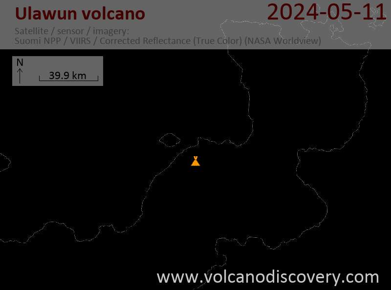
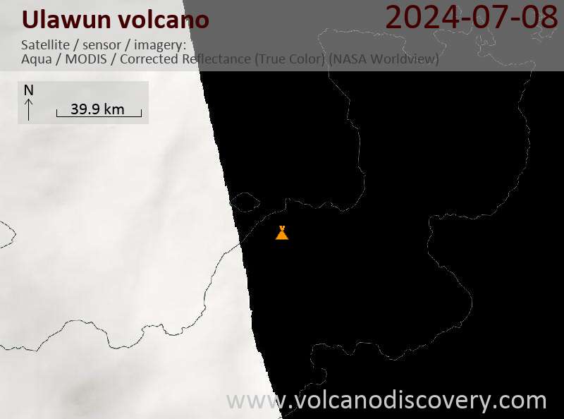
Ulawun Volcano Maps