


Tupungato Volcano
Updated: Apr 26, 2025 01:24 GMT -
Stratovolcano
Central Chile / Argentina border, -33.36°S / -69.77°W 

Summit height: 6570 m / 21555 ft
Current status: (probably) extinct (0 out of 5)
[smaller] [larger]
Tupungato volcano eruptions: None during the past 10,000 years
Less than few million years ago (Pleistocene)
Latest nearby earthquakes
| Date and Time | Mag / Depth | Distance / Location | |||
|---|---|---|---|---|---|
Background
The northernmost of the central Chile volcanoes, conical Tupungato is a Pleistocene stratovolcano capped by a about 0.8 million years ago lava dome complex (Moreno and Naranjo 1991).---
Source: Smithsonian / GVP volcano information
Latest satellite images
Tupungato Volcano Maps
Below is a selection of maps showing the location and surroundings of the volcano at various resolutions based on aerial-imagery / terrain maps. Feel free to use them for non-commercial purposes on your blog or website as long as you credit them with a link back to this page (click to copy it).

Satellite/aerial-type map of Tupungato volcano (world scale)

Terrain-type map of Tupungato volcano (world scale)
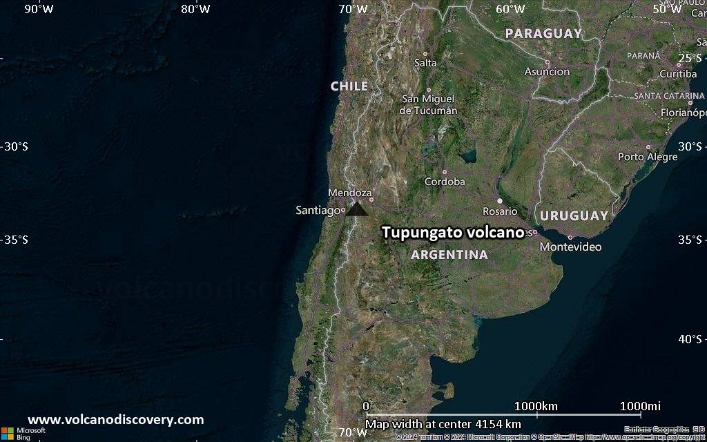
Satellite/aerial-type map of Tupungato volcano (region scale large)
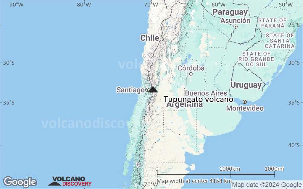
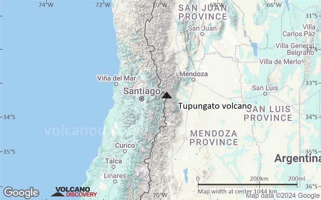
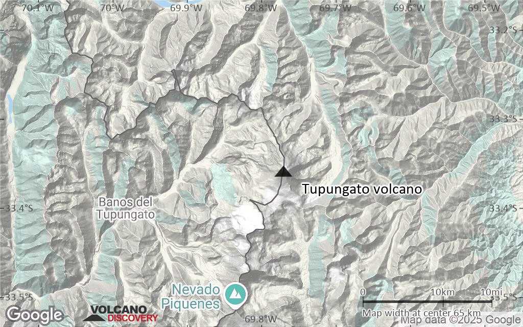
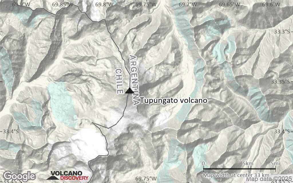
Terrain-type map of Tupungato volcano (region scale large)

Satellite/aerial-type map of Tupungato volcano (region scale medium)

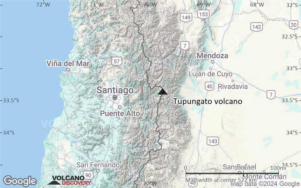
Terrain-type map of Tupungato volcano (region scale medium)

Satellite/aerial-type map of Tupungato volcano (region scale small)
Terrain-type map of Tupungato volcano (region scale small)

Satellite/aerial-type map of Tupungato volcano (local scale large)
Terrain-type map of Tupungato volcano (local scale large)
Satellite/aerial-type map of Tupungato volcano (local scale medium)

Terrain-type map of Tupungato volcano (local scale medium)
Satellite/aerial-type map of Tupungato volcano (local scale small)

Terrain-type map of Tupungato volcano (local scale small)

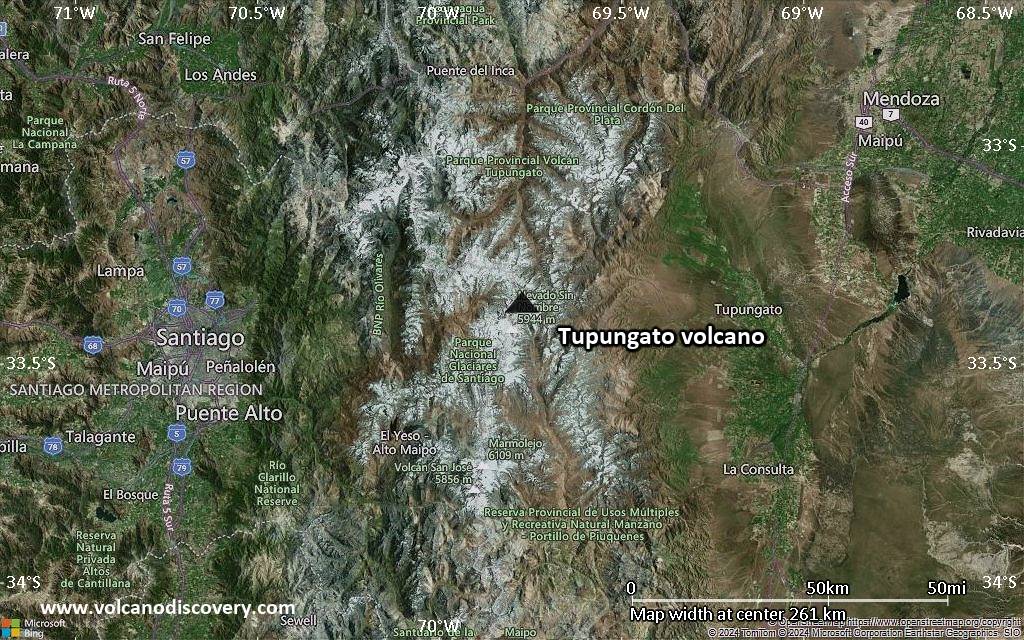
Satellite/aerial-type map of Tupungato volcano (scale of 10s of km)
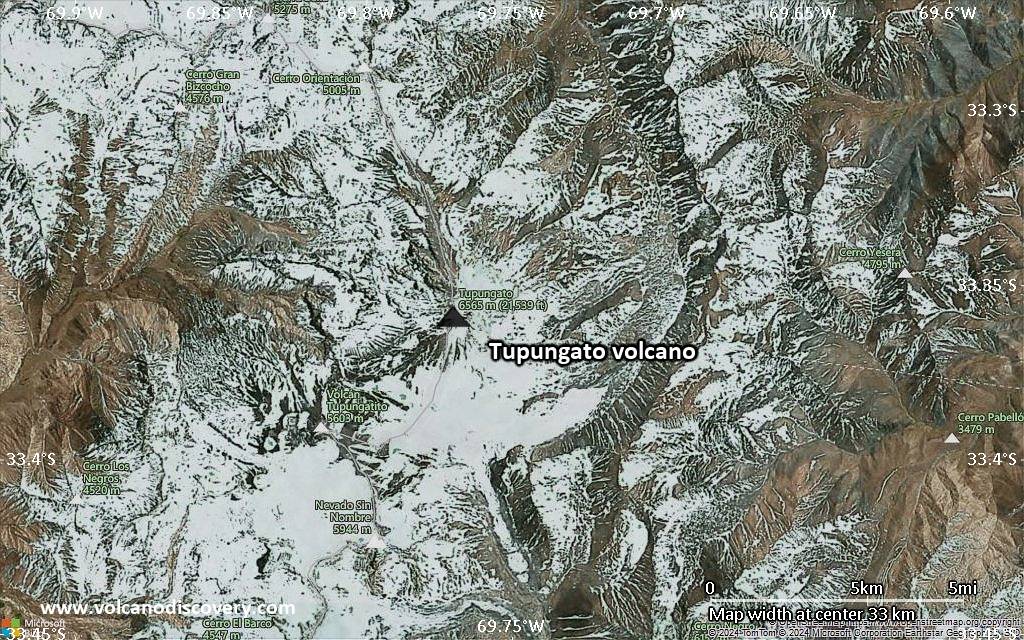
Terrain-type map of Tupungato volcano (scale of 10s of km)
Satellite/aerial-type map of Tupungato volcano (scale of 20-40 km)
Terrain-type map of Tupungato volcano (scale of 20-40 km)

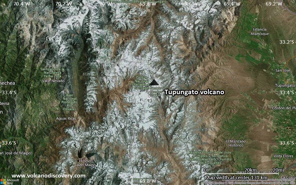
Satellite/aerial-type map of Tupungato volcano (scale of approx. 10-20 km)

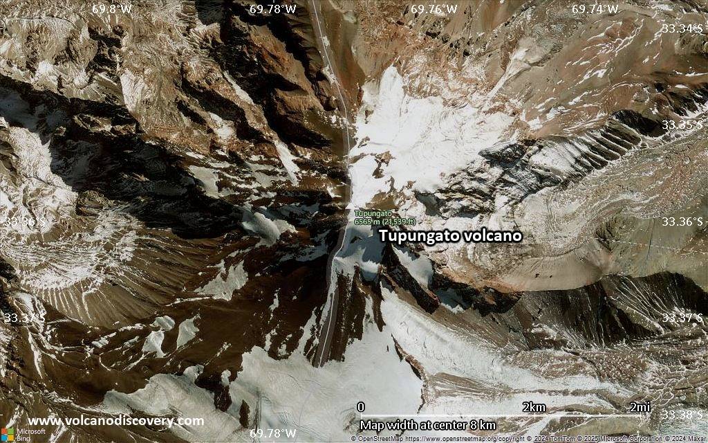
Terrain-type map of Tupungato volcano (scale of approx. 10-20 km)
Satellite/aerial-type map of Tupungato volcano (scale of 5-10 km)

Satellite/aerial-type map of Tupungato volcano (scale of few kilometers)


