Tambora Volcano
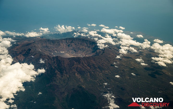
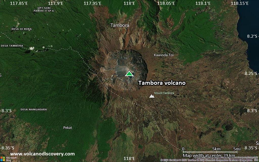
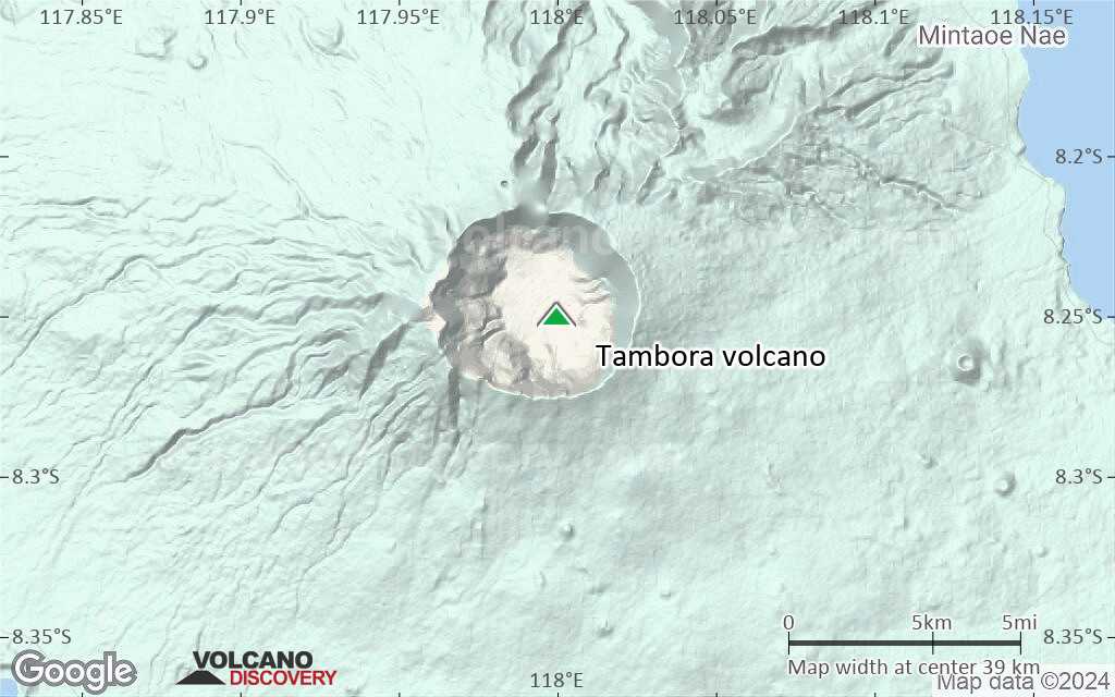
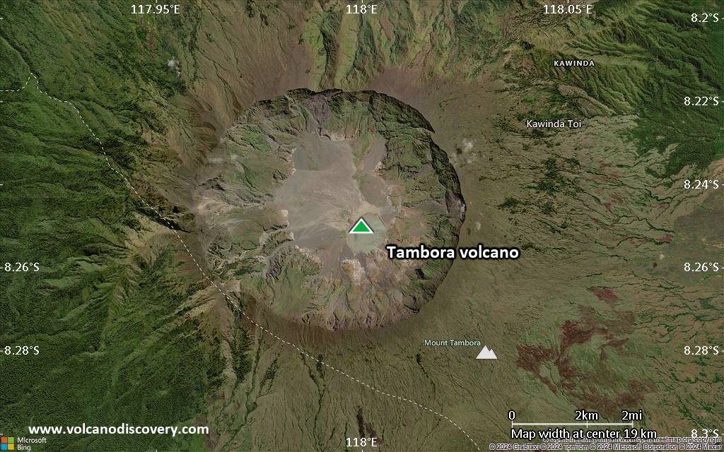
On 10 April 1815, Tambora produced the largest eruption known on the planet during the past 10,000 years. The volcano erupted more than 50 cubic kilometers of magma. Caldera collapse at the end of the eruption destroyed 30 km3 of the mountain and formed a 6 km wide and 1250 m deep caldera.
FLoating islands of pumice 3 miles long were observed in April 1815, and even 4 years later, these islands still hindered navigation.
The eruption produced global climatic effects and killed more than 100,000 people, directly and indirectly. Minor lava domes and flows have been extruded on the caldera floor at Tambora during the 19th and 20th centuries.
Tambora volcano eruptions: 1967, 1880, 1812-15 (largest known eruption in historic times, VEI 7)
Latest nearby earthquakes
| Date and Time | Mag / Depth | Distance / Location | |||
|---|---|---|---|---|---|
| Nov 25, 02:04 am (Universal Time) | 2.3 18 km | 3.3 km (2 mi) to the W | Info | ||
| Friday, November 21, 2025 GMT (1 quake) | |||||
| Nov 21, 09:29 am (GMT +8) | 2.5 11 km | 5 km (3.1 mi) to the SW | Info | ||
| Sunday, November 16, 2025 GMT (2 quakes) | |||||
| Nov 16, 11:52 am (GMT +8) | 2.4 13 km | 16 km (10.1 mi) to the NE | Info | ||
| Nov 16, 10:59 am (Makassar) | 4.0 13 km | 26 km (16 mi) to the NE | Info | ||
Background
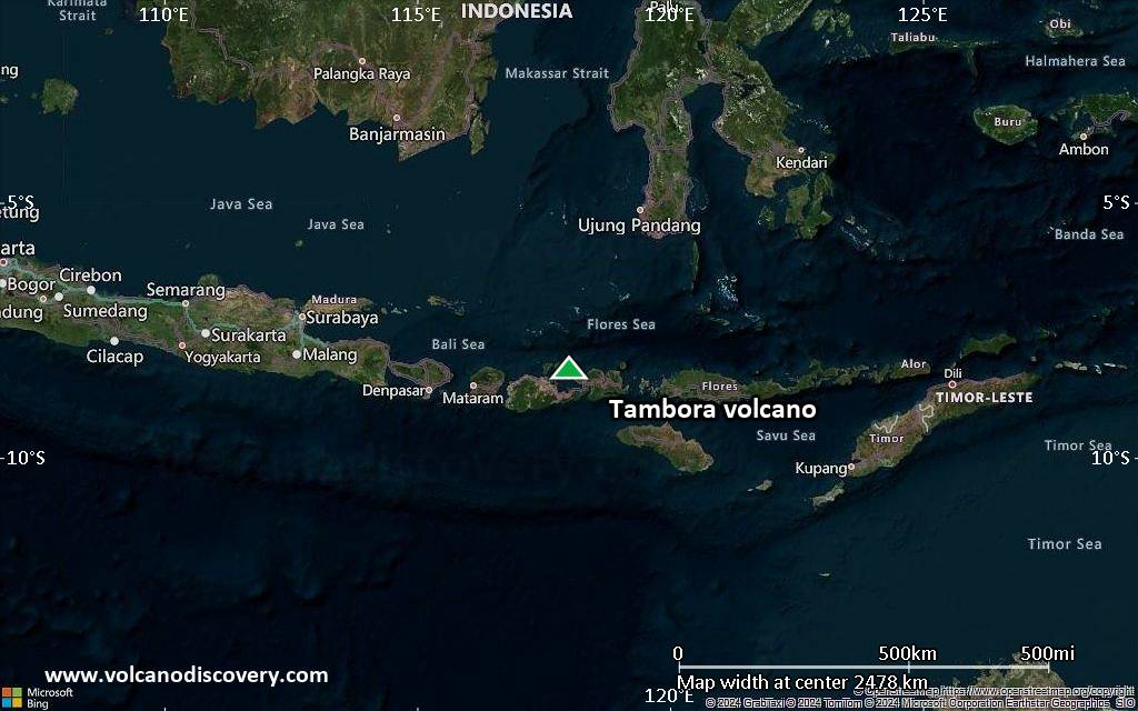
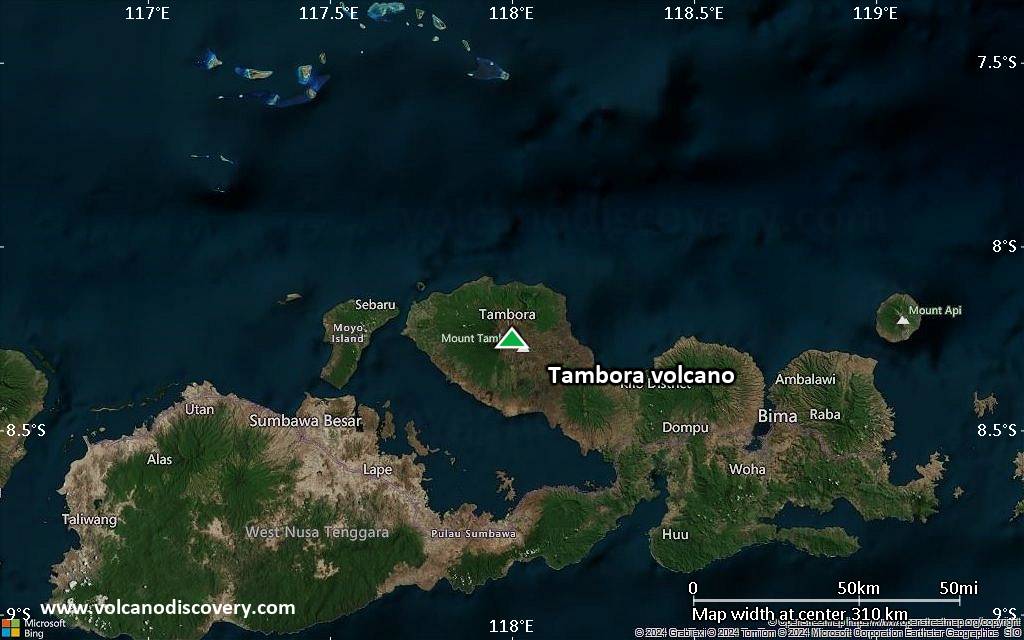
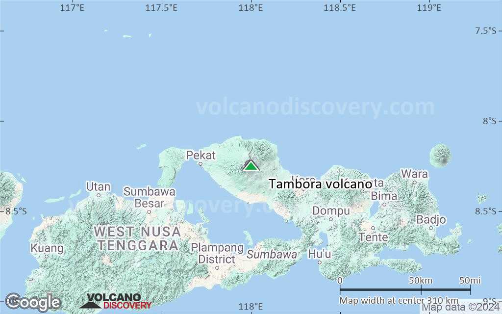
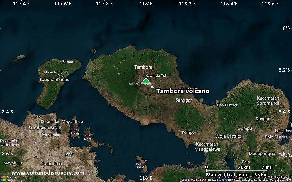
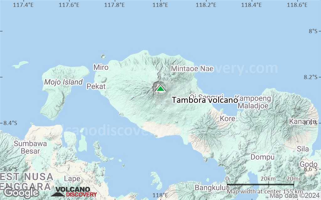
The massive Tambora stratovolcano forms the entire 60-km-wide Sanggar Peninsula on northern Sumbawa Island. The volcano originally grew to about 4000 m elevation before a major explosion destroyed its summit and left a pre-1815 caldera more than 43,000 years ago. Lava flows had largely filled the early caldera by about 10,000 years ago, before its activity changed to dominantly explosive eruptions, culminating in the 1815 eruption.The eruption in 1815 emptied about 50-150 cubic km of magma and measures 7 on the VEI scale. It produced a giant plinian eruption column, which is estimated to have reached more 40-50 km altitude, ejecting large amounts of ash and aerosols into the stratosphere.
Pyroclastic flows reached the sea on all sides of the peninsula, and heavy tephra fall devastated croplands, causing an estimated 60,000 fatalities. Entire villages were buried under thick pumice deposits. Some of the settlements have recently been brought back to light by archaeological excavations, making the site a "Pompeii of Indonesia". Large tsunamis with wave heights of 10 or more meters might have occurred.
While the death toll of people living on Sumbawa and surrounding coastal areas was high enough, even more fatalities can be attributed to the indirect effect of global climate deterioration after the eruption. These changes turned 1816 into the "year without a summer" for much of Europe, causing widespread famine. It is estimated that it caused the death of over 100,000 people.
The reason for the climatic changes was increased absorption of sunlight due to a veil of aerosols (consisting mostly of tiny droplets of H2SO3 acid, formed by SO2 release) that were dispersed around both hemispheres by stratospheric currents from the tall eruption column. Global temperatures dropped by as much as 3 deg C in 1816 and recovered during the following years.
It is also believed that the eruption produced tsunamis with waves possibly as high as 10 meters.
Tambora Volcano Photos


Significant volcanic eruptions: Tambora volcano
| Date | Note | VEI | Deaths | Damage | |
|---|---|---|---|---|---|
| NE part of caldera floor Historical obs./docs. | 0 | ||||
| SW part of caldera (Doro Afi Toi) Historical obs./docs. | 2 | ||||
Historical obs./docs. | 2 | ||||
Historical obs./docs. | 7 | ||||
| 1815 Apr 10 (eruption | Tsunami recorded Historical obs./docs. | 7 | 60,000 | very heavy | Info |
| ? | |||||
| ? | |||||
| ? | |||||
Tambora Volcano FAQ
+When was the last eruption of Tambora volcano?
The last confirmed eruption of Tambora occurred around 1967.
+How often does Tambora volcano erupt?
Since 1812, Tambora volcano has had at least 4 historically documented eruptions. This means that it erupts on average every 53 years.
Many eruptions of Tambora have lasted more than one year. In total, the volcano has been in eruption during 7 out of 213 years until now. In other words, Tambora has been active at least one in 30.4 years on average. Note that this value is likely an underestimate, because the known history of eruptions from Tambora is likely incomplete, especially further back in time.
+How active is Tambora volcano at present?
Tambora volcano is occasionally active: Since 1900, it has had one eruption, which occurred around 1967.
+When was the largest eruption of Tambora volcano?
The largest eruption of Tambora volcano in historic times occurred during 1812 - 1815. It ranks as a very large plinian eruption with a magnitude 7 on the VEI (Volcanic Explosivity Index) scale. Eruption of this size can have catastrophic regional, or sometimes global consequences by disrupting climate globally over a few years. Eruption of this size are often catastrophic on a regional scale.
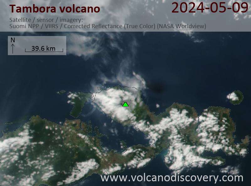
Latest satellite images
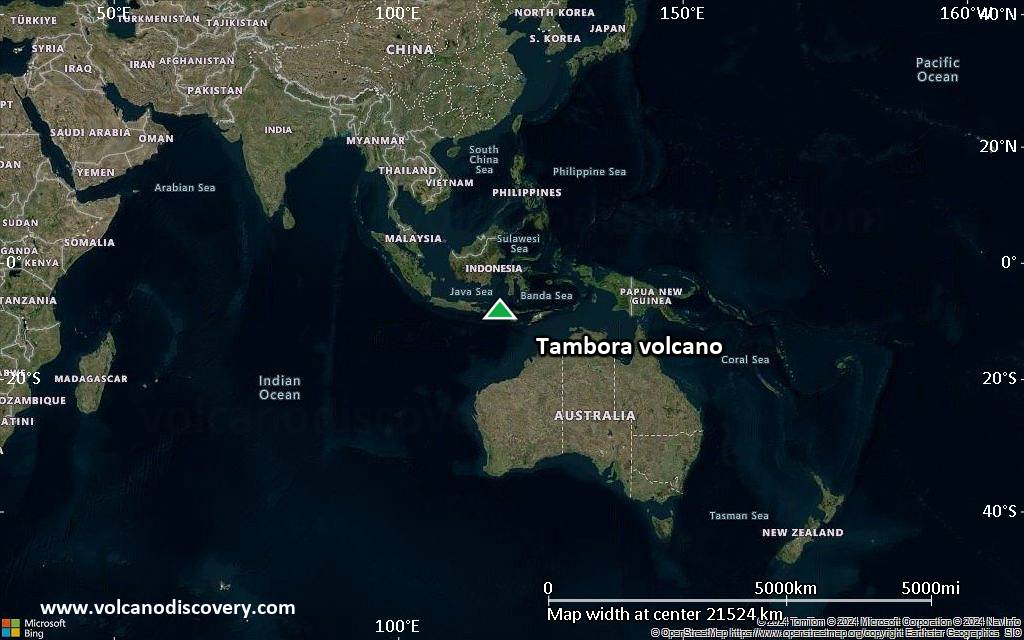
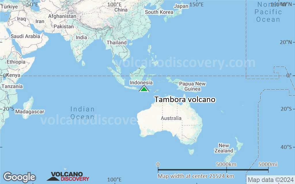
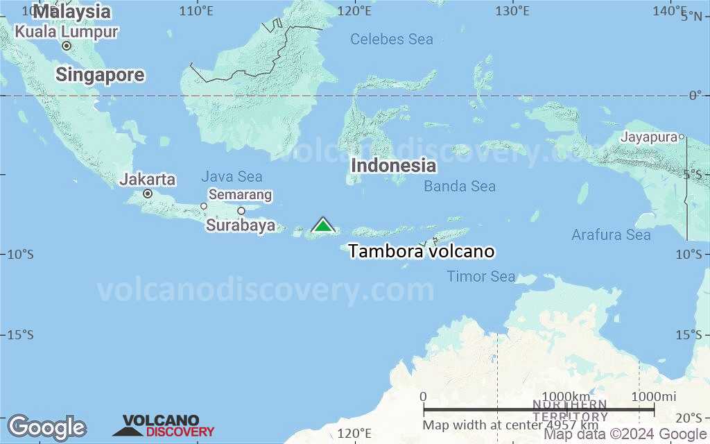
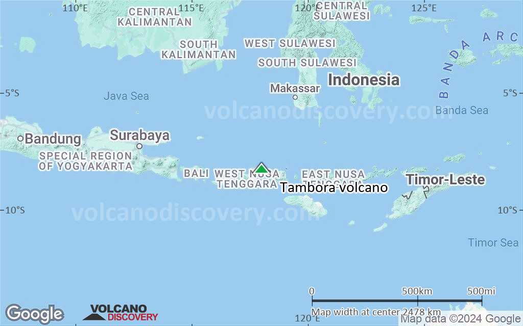
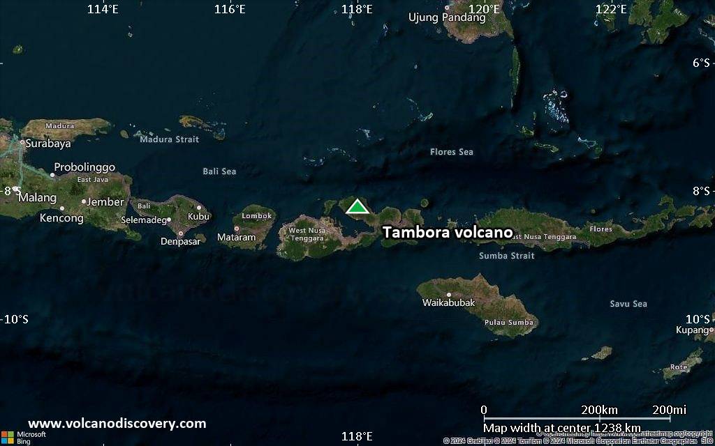
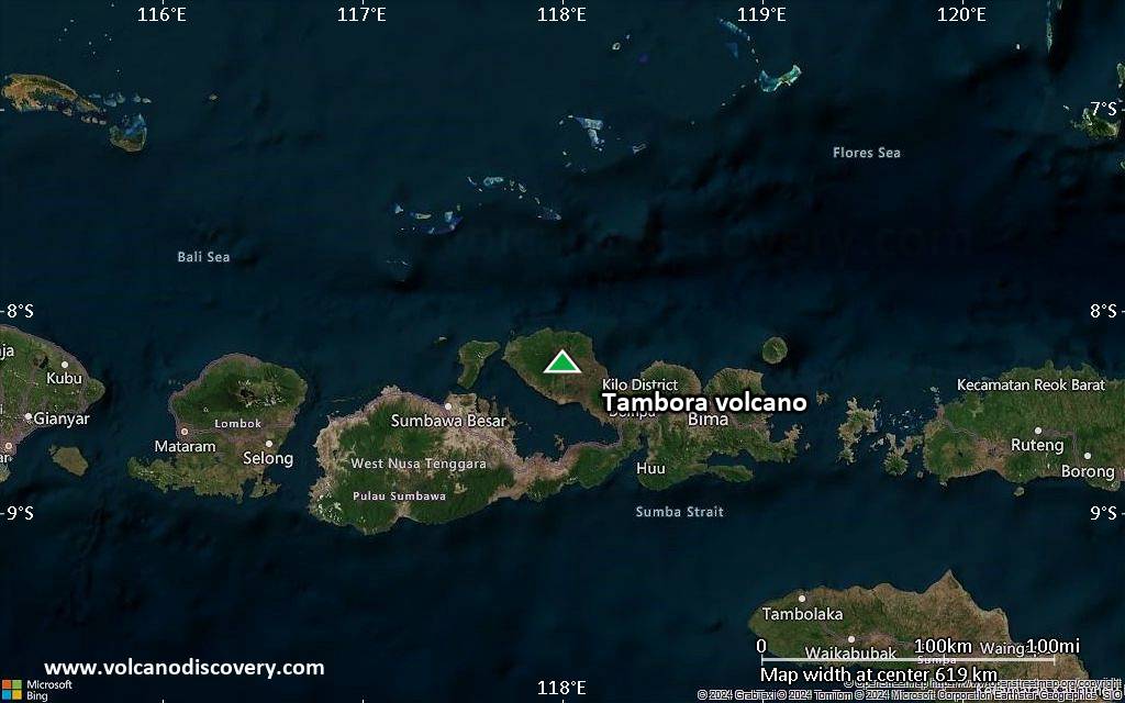
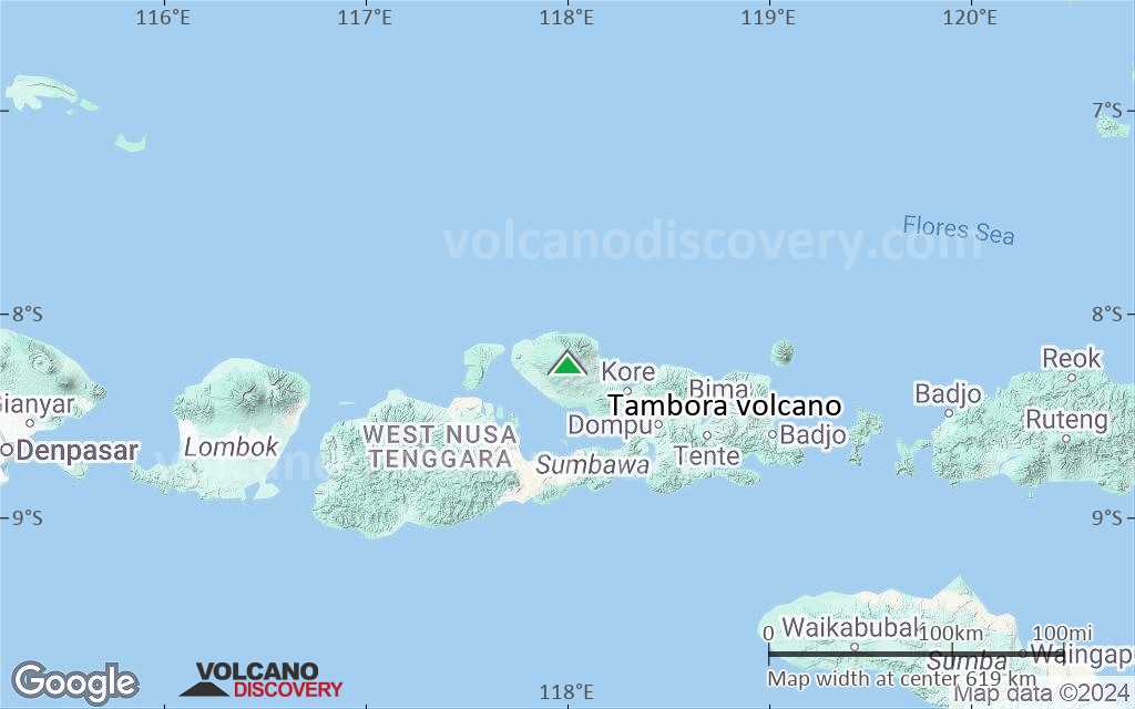
Tambora Volcano Maps
