Shiribetsu Volcano
Updated: Apr 24, 2025 11:11 GMT - 1 hour 29 minutes ago refresh
lava dome
Hokkaido (Japan), 42.77°N / 140.92°E 
Summit height: 1107 m / 3,632 ft
Current status: (probably) extinct (0 out of 5)
Shiribetsu-dake volcano is located SE of Yotei volcano in SW Hokkaido. The andesitic lava dome contains a 1.5 km diameter summit crater breached to the west. The last eruptions were several hundred thousand years ago.
[smaller] [larger]
Shiribetsu volcano eruptions: several hundred thousand years ago
Latest nearby earthquakes
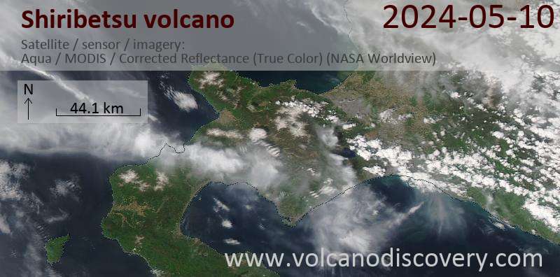
Latest satellite images
Shiribetsu Volcano Maps
Below is a selection of maps showing the location and surroundings of the volcano at various resolutions based on aerial-imagery / terrain maps. Feel free to use them for non-commercial purposes on your blog or website as long as you credit them with a link back to this page (click to copy it).

Satellite/aerial-type map of Shiribetsu volcano (world scale)

Terrain-type map of Shiribetsu volcano (world scale)

Satellite/aerial-type map of Shiribetsu volcano (region scale large)

Terrain-type map of Shiribetsu volcano (region scale large)

Satellite/aerial-type map of Shiribetsu volcano (region scale medium)

Terrain-type map of Shiribetsu volcano (region scale medium)

Satellite/aerial-type map of Shiribetsu volcano (region scale small)

Terrain-type map of Shiribetsu volcano (region scale small)

Satellite/aerial-type map of Shiribetsu volcano (local scale large)

Terrain-type map of Shiribetsu volcano (local scale large)

Satellite/aerial-type map of Shiribetsu volcano (local scale medium)

Terrain-type map of Shiribetsu volcano (local scale medium)

Satellite/aerial-type map of Shiribetsu volcano (local scale small)

Terrain-type map of Shiribetsu volcano (local scale small)

Satellite/aerial-type map of Shiribetsu volcano (scale of 10s of km)

Terrain-type map of Shiribetsu volcano (scale of 10s of km)

Satellite/aerial-type map of Shiribetsu volcano (scale of 20-40 km)

Terrain-type map of Shiribetsu volcano (scale of 20-40 km)

Satellite/aerial-type map of Shiribetsu volcano (scale of approx. 10-20 km)

Terrain-type map of Shiribetsu volcano (scale of approx. 10-20 km)

Satellite/aerial-type map of Shiribetsu volcano (scale of 5-10 km)

Satellite/aerial-type map of Shiribetsu volcano (scale of few kilometers)