Sangangüey Volcano
Updated: Apr 30, 2025 09:39 GMT -
stratovolcano
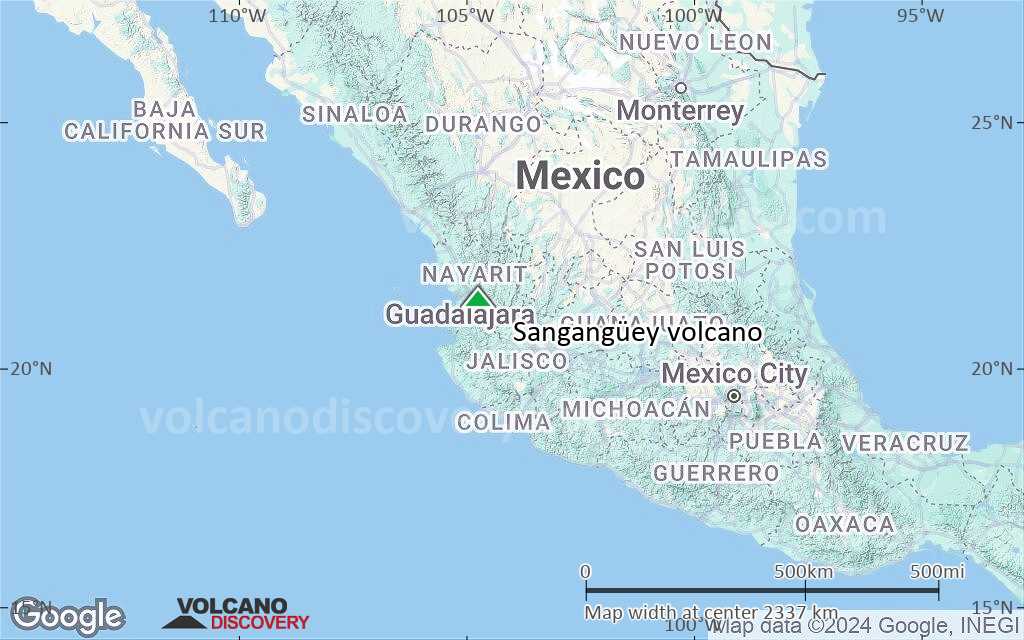
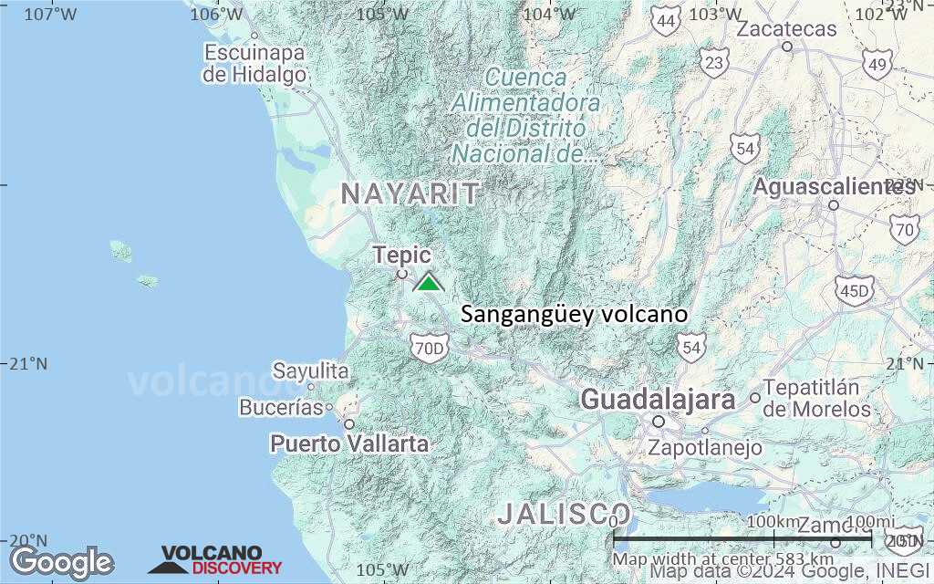
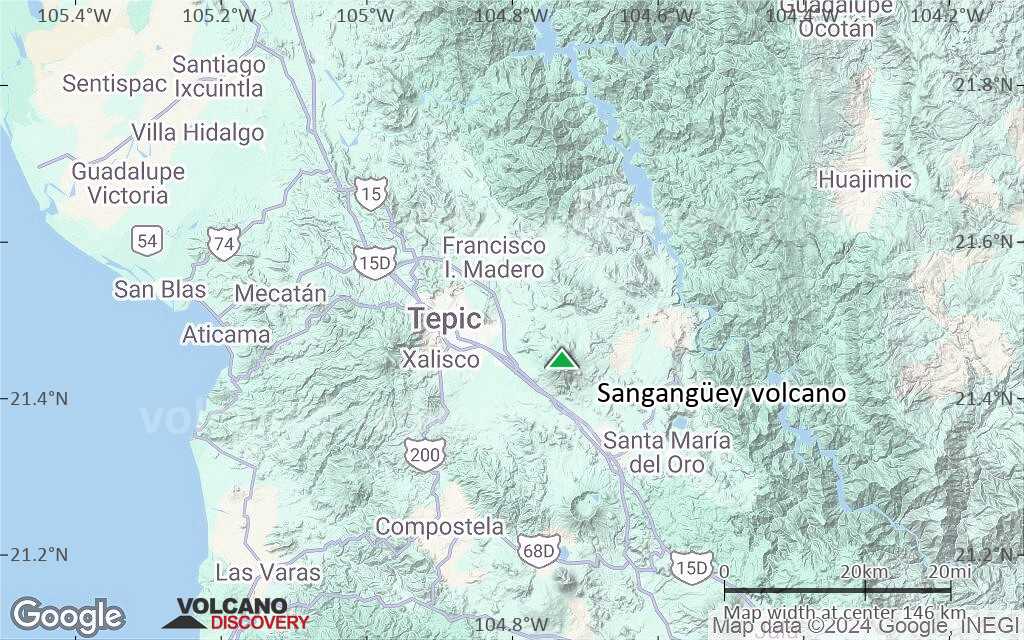
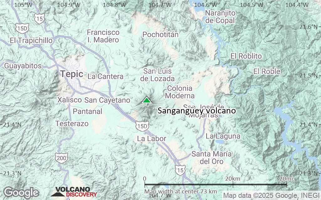
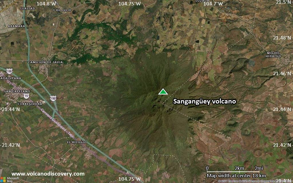
Western Mexico, 21.45°N / -104.73°W 
Summit height: 2340+ m / 7,677 ft
Current status: normal or dormant (1 out of 5)
Sangangüey volcano is an eroded andesitic and dacitic stratovolcano stratovolcano 50 km from the west coast of Mexico. It is the highest volcano in the NW-SE-trending Tepic-Zacoalco graben.
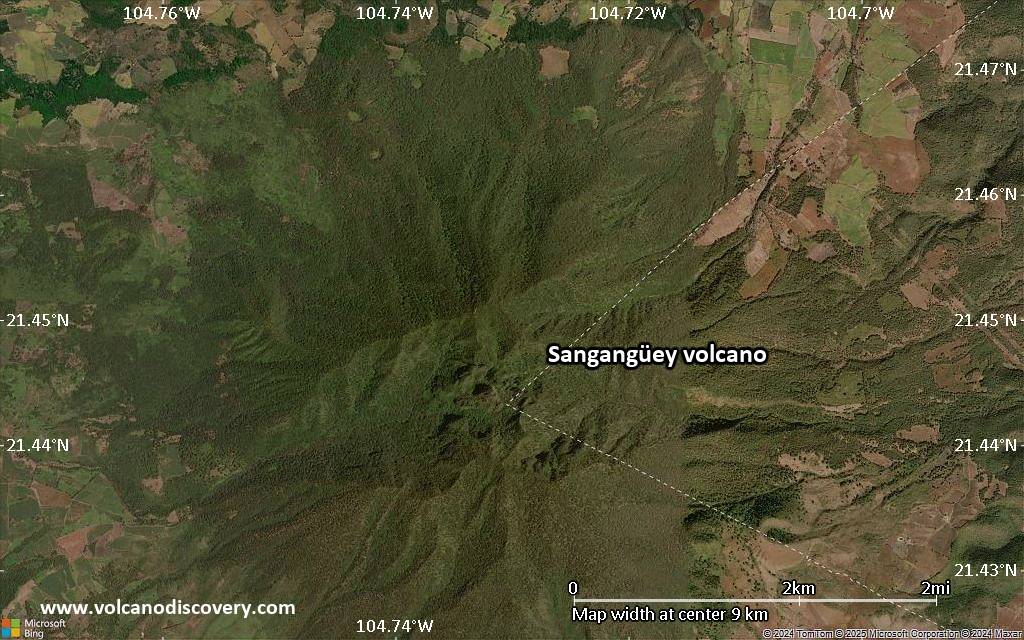
Sangangüey contains a prominent lava spine at the summit and has 45 cinder cones on its NW and SE flanks, which are the youngest features of the volcano. They erupted during the past 300,000 years along 5 parallel NW-trending fissures.
There are no confirmed historic eruptions, but an Indian legend has recorded the memory of an eruption in 1742, which could have been from one of the flank cones that are similar to those of nearby Ceboruco volcano.
[smaller] [larger]
Sangangüey volcano eruptions: possible eruption in 1742
Latest nearby earthquakes
| Date and Time | Mag / Depth | Distance / Location | |||
|---|---|---|---|---|---|
Significant volcanic eruptions: Sangangüey volcano
In the past 10,000 years, Sangangüey has had only one confirmed historic eruption ###WHEN1###|only one confirmed historic eruption ###WHEN1### and one ###WHEN2### inferred from geological evidence|only one confirmed historic eruption ###WHEN1###, but at least ###NUM_INFERRED### eruptions can be inferred from geological evidence|at least ###NUM_CONFIRMED### confirmed eruptions, all documented by historical records or observations|at least ###NUM_CONFIRMED### confirmed volcanic eruptions, out of which ###NUM_HISTORIC### are documented by historical records, while the others can be inferred from geological evidence.
No historic eruptions are known from Sangangüey volcano, but at least one eruption ###WHEN2### can be inferred from geological evidence|evidence from at least ###NUM_CONFIRMED### eruptions during the past 10,000 years can be found in the geological record.
There is one uncertain or discredited eruption in 1742 from Sangangüey volcano.
The table below lists all known eruptions (date in bold face) of Sangangüey volcano in historic times and during the past 10,000 years. Updates on the most recent volcanic activity of Sangangüey can be found on the news page of Sangangüey volcano.
| Date | Note | VEI | Deaths | Damage | |
|---|---|---|---|---|---|
?? | Uncertain Eruption | ? | |||
Remark:
Our list of volcanic eruptions closely follows the database of eruptions of the Smithsonian's Global Volcanism Project (GVP), the internationally most recognized data source for volcanic eruptions, but also includes significant eruptive episodes or related volcano events. "Volcanic eruptions" are usually to be understood as sequences of individual eruptive episodes that can follow each other, or even overlap (if several vents are involved), and can last many years, decades or even longer. For example, the current activity of Stromboli volcano is understood as a single eruption that has been ongoing since 1934.
Sources: NOAA National Centers for Environmental Information (NCEI), Global Significant Volcanic Eruptions Database. doi:10.7289/V5TD9V7K | Global Volcanism Project / Smithsonian Institution
Eruptions of Sangangüey volcano
1742 possible eruption
An Indian legend tells of an eruption in 1742, which could be from one of the younger cinder cones at the flanks of Sangangüey volcano.
Alternatively, it could be from nearby Ceboruco volcano. ...more info
An Indian legend tells of an eruption in 1742, which could be from one of the younger cinder cones at the flanks of Sangangüey volcano.
Alternatively, it could be from nearby Ceboruco volcano. ...more info
Latest satellite images


Sangangüey Volcano Maps
Below is a selection of maps showing the location and surroundings of the volcano at various resolutions based on aerial-imagery / terrain maps. Feel free to use them for non-commercial purposes on your blog or website as long as you credit them with a link back to this page (click to copy it).
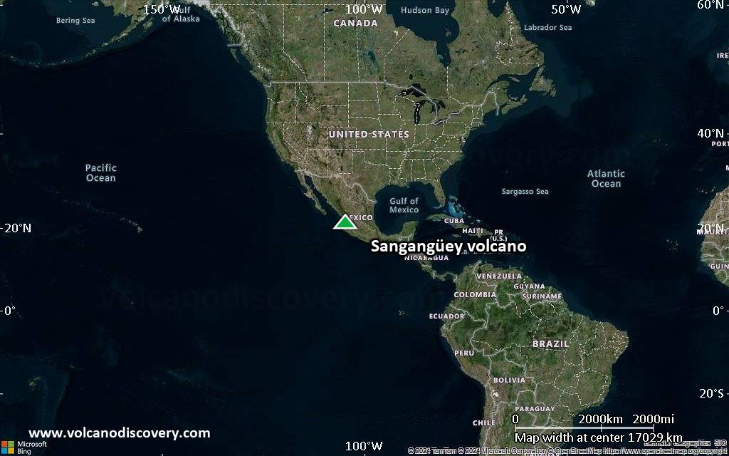
Satellite/aerial-type map of Sangangüey volcano (world scale)
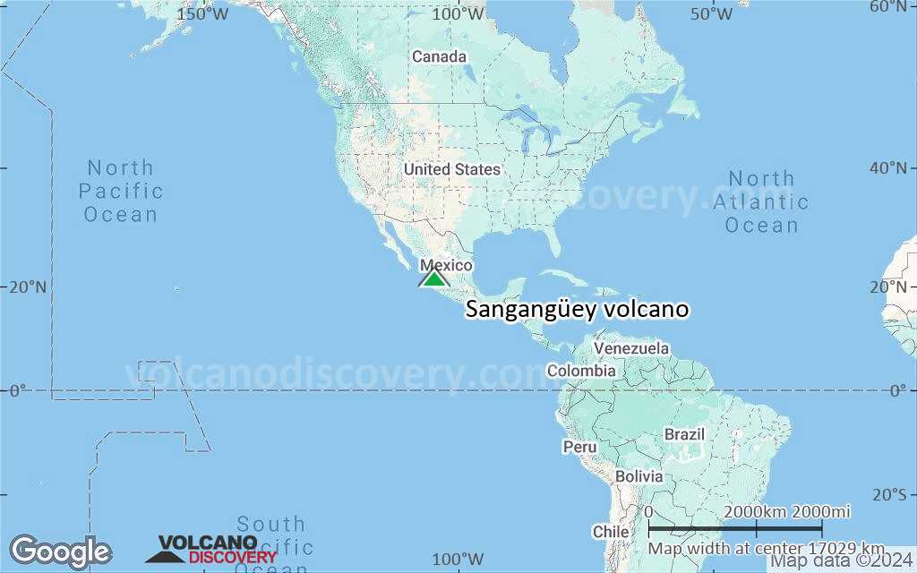
Terrain-type map of Sangangüey volcano (world scale)

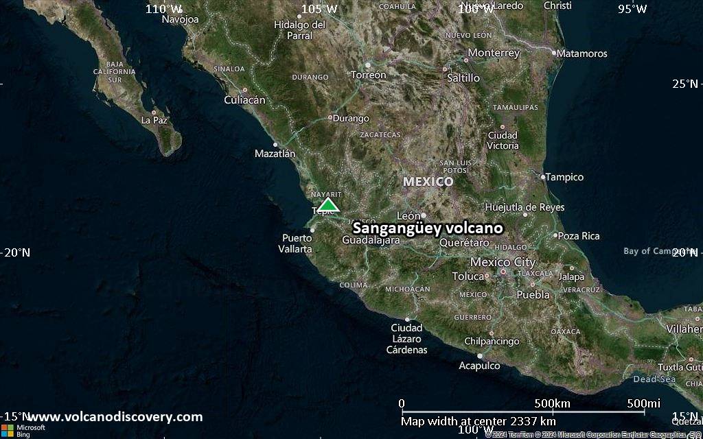
Satellite/aerial-type map of Sangangüey volcano (region scale large)

Terrain-type map of Sangangüey volcano (region scale large)
Satellite/aerial-type map of Sangangüey volcano (region scale medium)
Terrain-type map of Sangangüey volcano (region scale medium)

Satellite/aerial-type map of Sangangüey volcano (region scale small)

Terrain-type map of Sangangüey volcano (region scale small)

Satellite/aerial-type map of Sangangüey volcano (local scale large)
Terrain-type map of Sangangüey volcano (local scale large)

Satellite/aerial-type map of Sangangüey volcano (local scale medium)

Terrain-type map of Sangangüey volcano (local scale medium)

Satellite/aerial-type map of Sangangüey volcano (local scale small)
Terrain-type map of Sangangüey volcano (local scale small)

Satellite/aerial-type map of Sangangüey volcano (scale of 10s of km)
Terrain-type map of Sangangüey volcano (scale of 10s of km)

Satellite/aerial-type map of Sangangüey volcano (scale of 20-40 km)

Terrain-type map of Sangangüey volcano (scale of 20-40 km)
Satellite/aerial-type map of Sangangüey volcano (scale of approx. 10-20 km)

Terrain-type map of Sangangüey volcano (scale of approx. 10-20 km)
Satellite/aerial-type map of Sangangüey volcano (scale of 5-10 km)

Satellite/aerial-type map of Sangangüey volcano (scale of few kilometers)