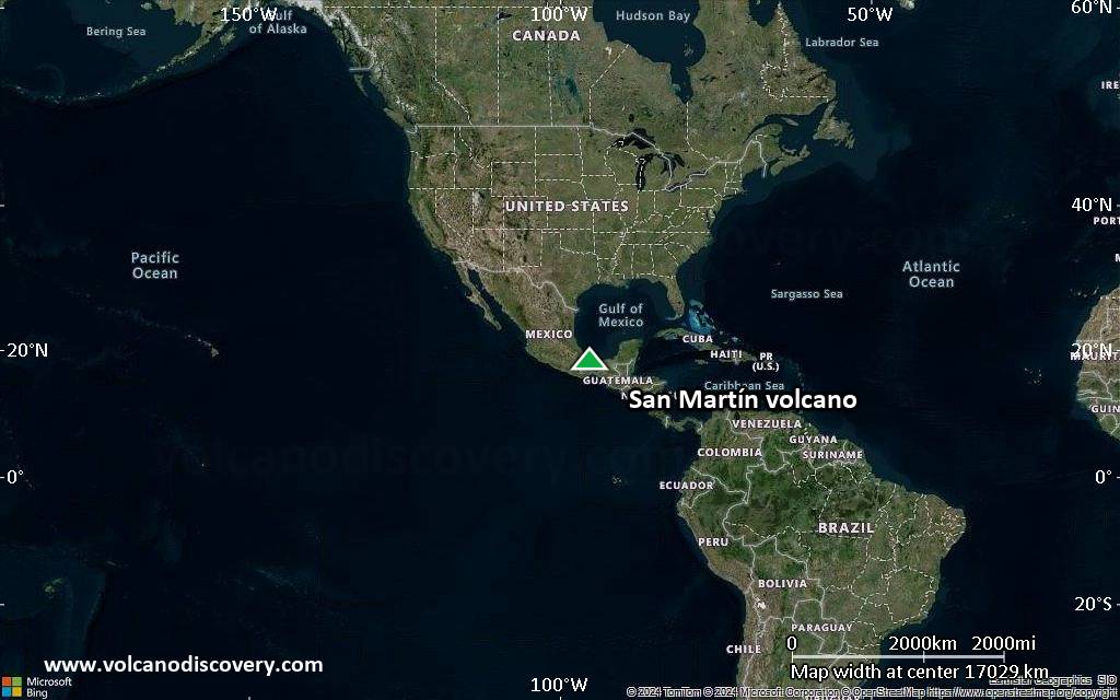
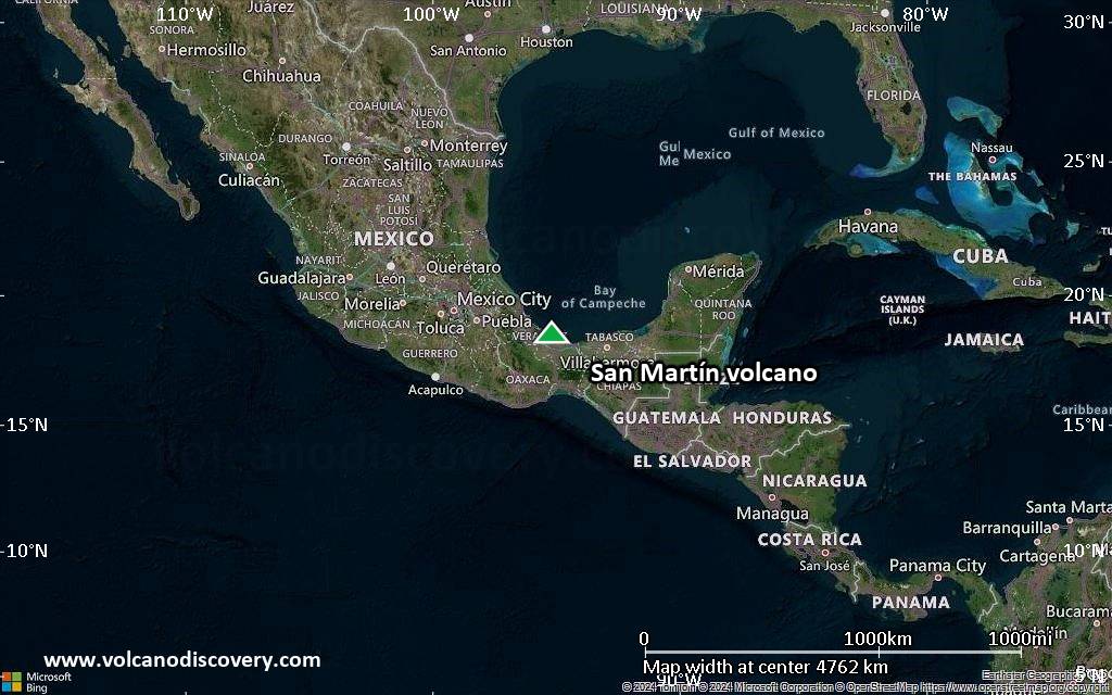
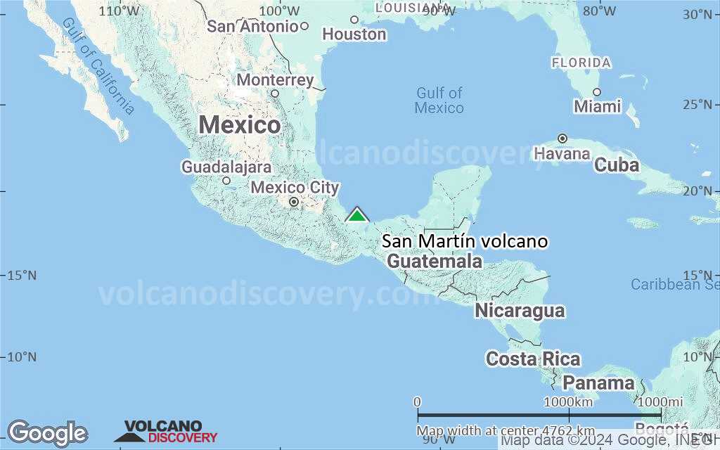
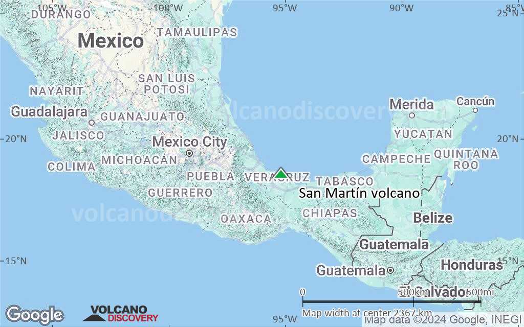
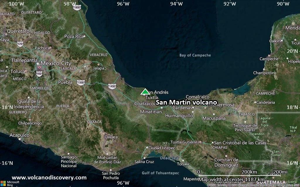
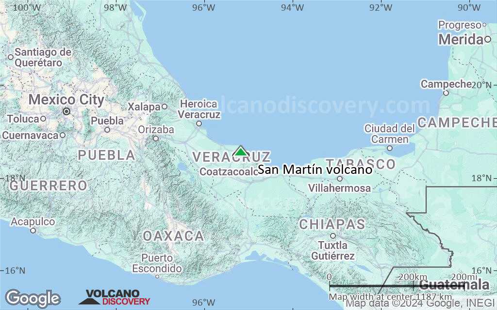
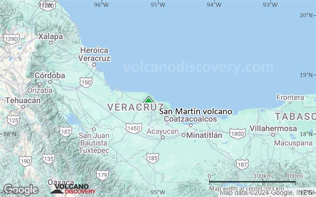
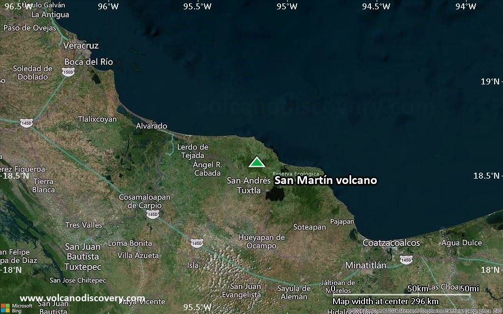
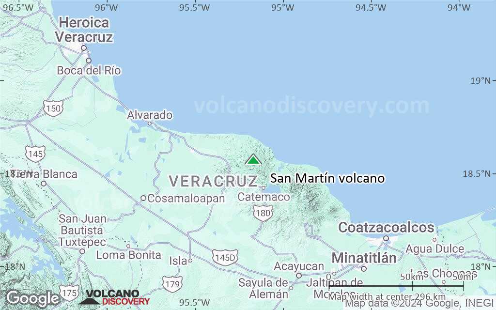
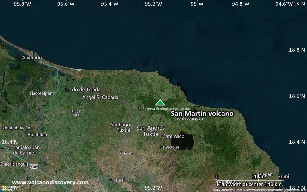
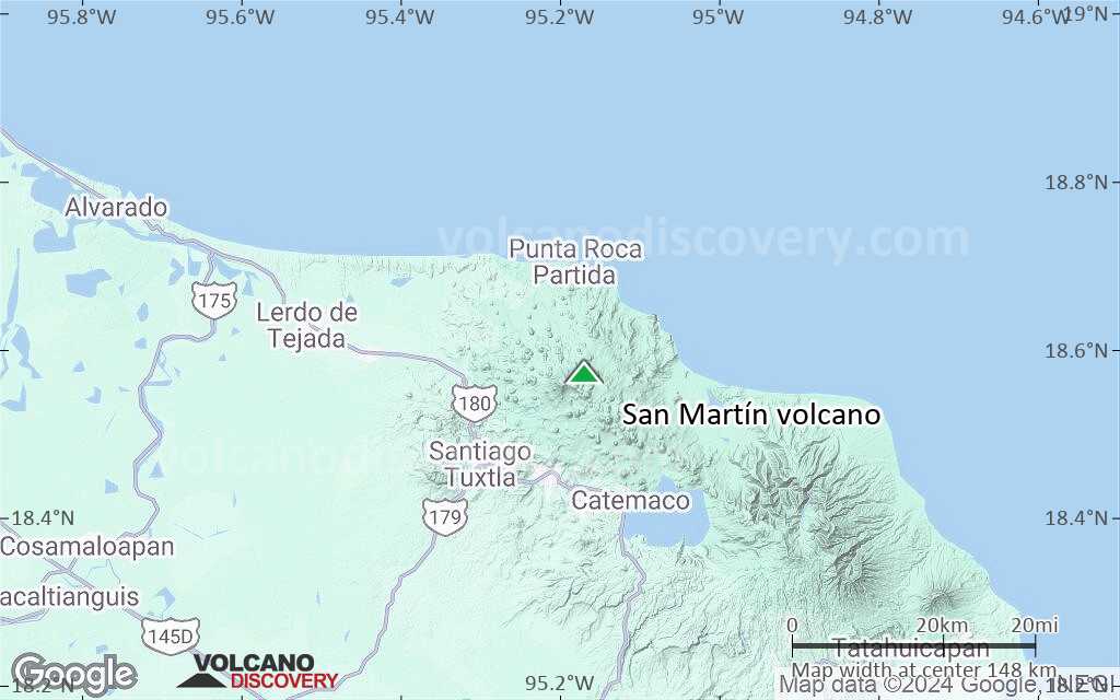
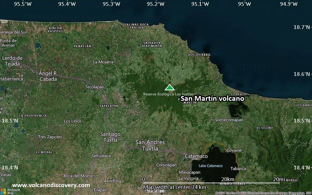
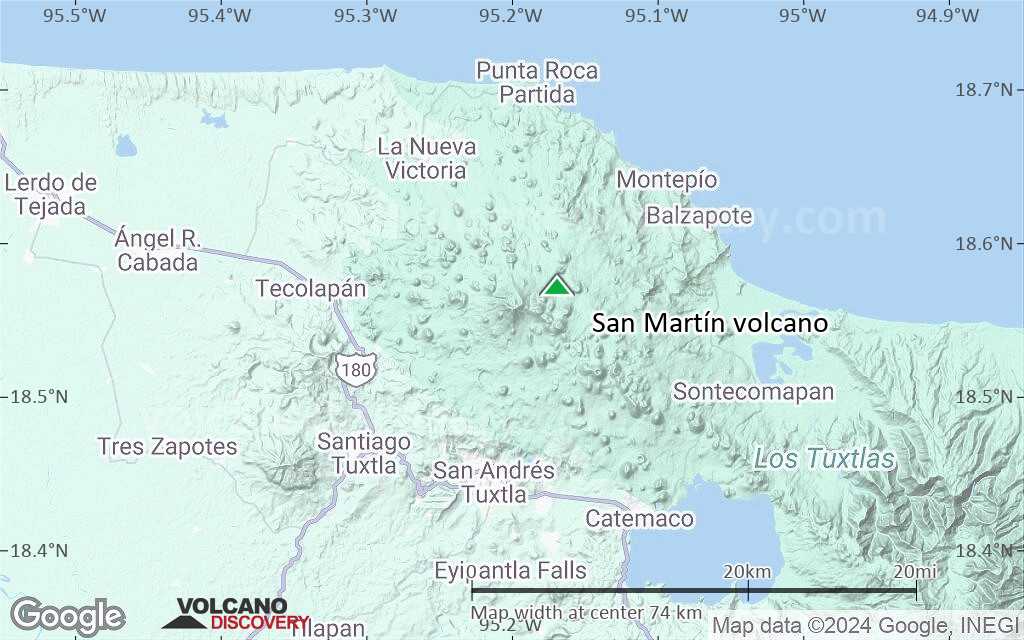
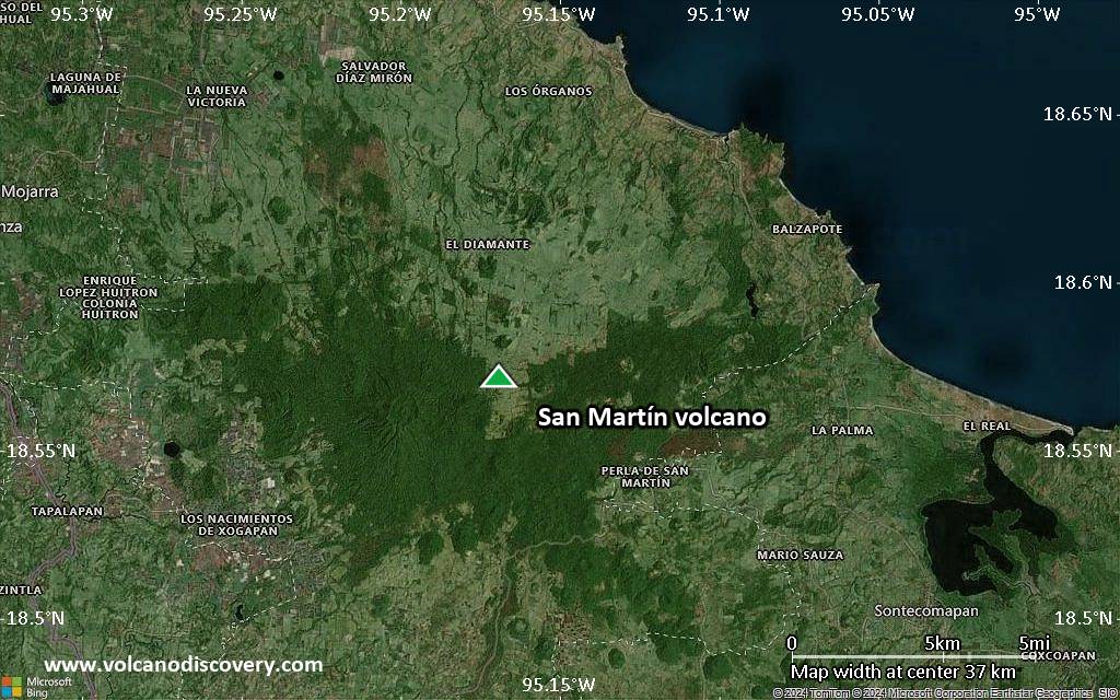
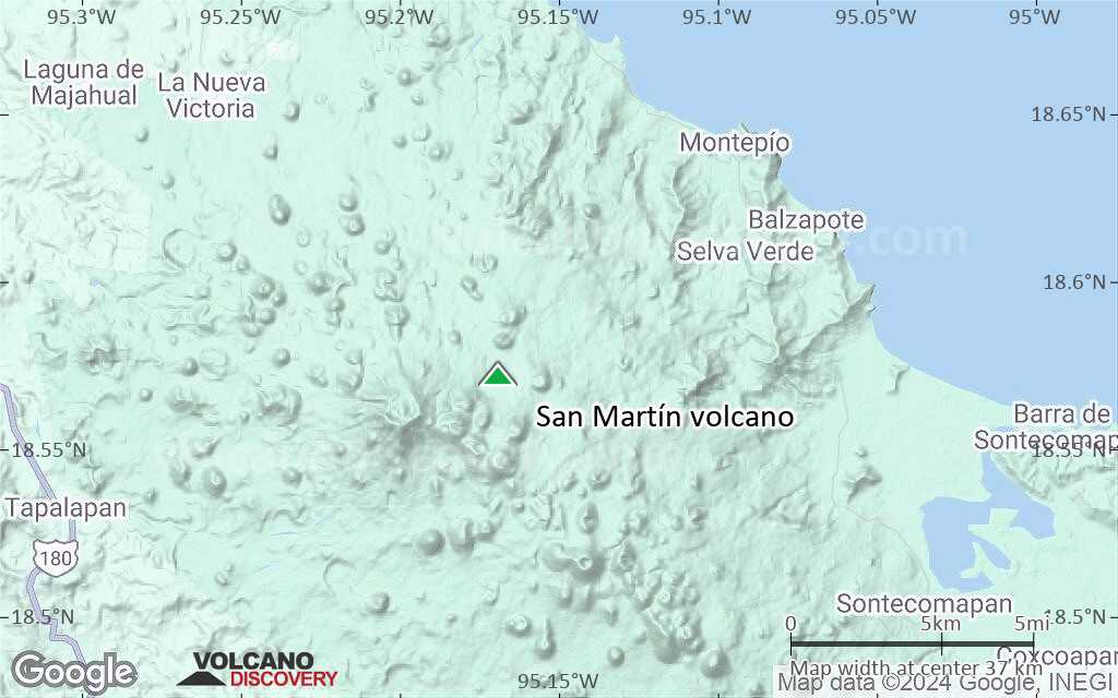
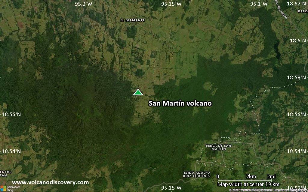
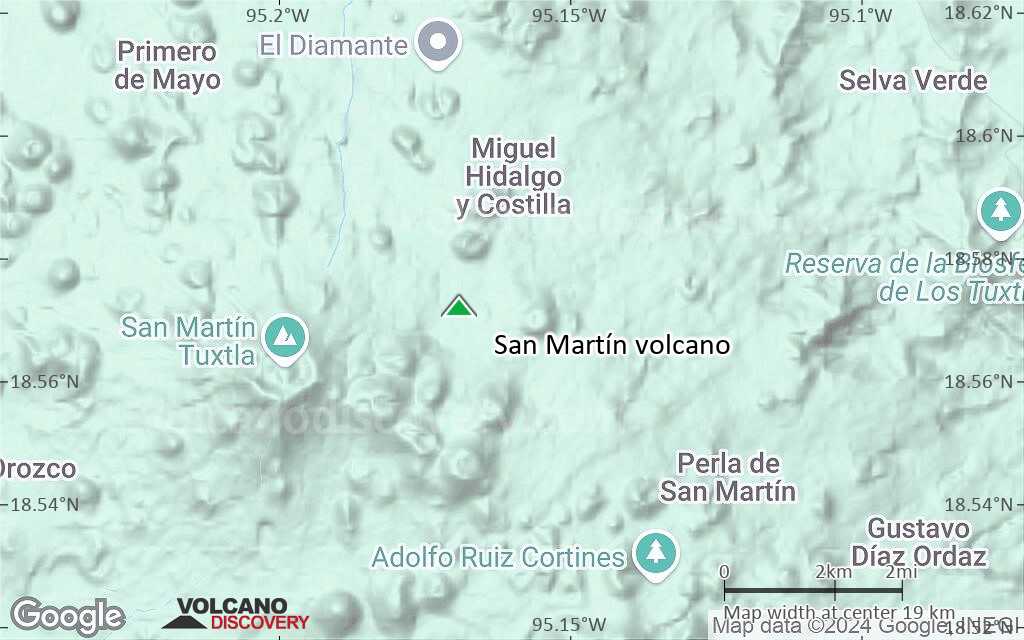
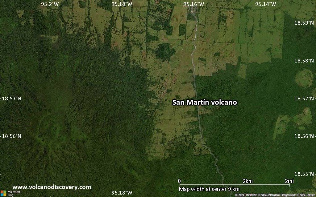
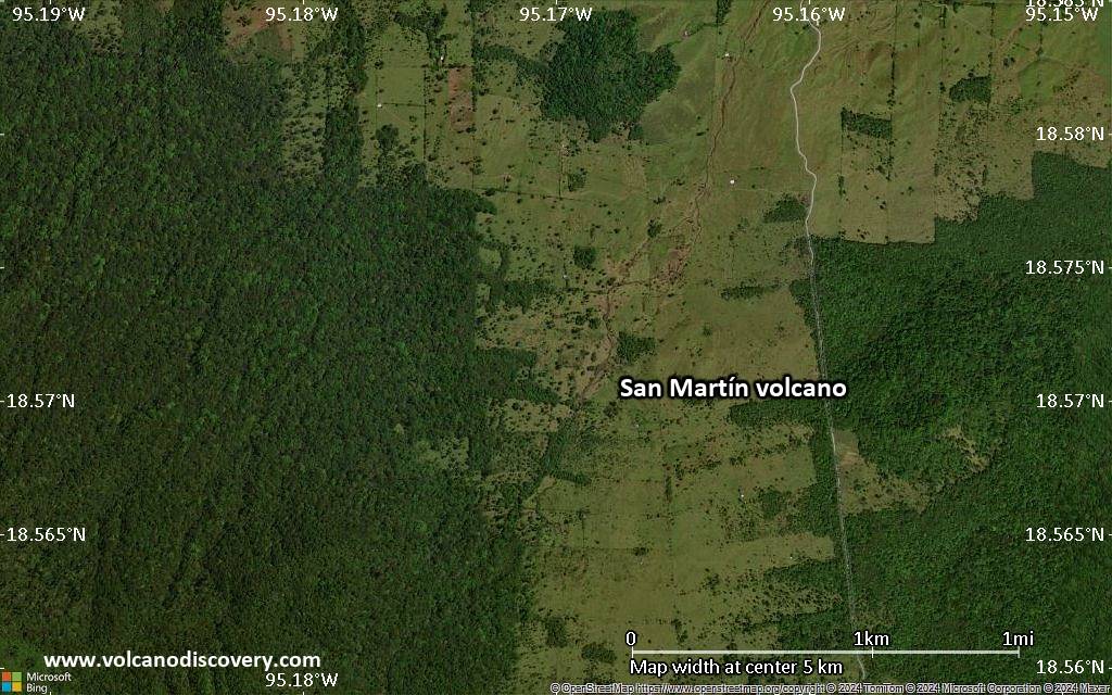
| RSS | EN | DE | EL | ES | FR | IT | RU

San Martín Volcano

Updated: Apr 30, 2025 11:12 GMT -
Shield volcano
Mexico, 18.57°N / -95.17°W
Summit height: 1650 m / 5,413 ft
Current status: normal or dormant (1 out of 5)

San Martín volcano (Volcan de San Martín Tuxtla) is a broad basaltic shield volcano that rises above the Gulf of Mexico, and is part of the Tuxtla volcanic field. It has a 1 km wide summit caldera containing 2 smaller scoria cones which formed during the violent 1793 summit eruption that produced wide-spread ash fall and lava flows traveling 3.5 km from the summit.
There are more than 250 flank cones dotted on the flanks of the volcano indicating frequent flank eruptions. The largest historic eruptions were in 1664 and 1793. At present, there is fumarolic activity in the summit caldera.

[smaller] [larger]
Typical eruption style: Effusive
San Martín volcano eruptions: 1932(?), 1797(?)-1805(?), 1796, 1793, 1664

Latest nearby earthquakes

Date and TimeMag / DepthDistance / Location

Background

The massive volcano, also known as , is elongated in a NW-SE direction and is capped by a 1-km-wide summit crater. The upper part of the 1650-m-high volcano is covered with dense tropical rain forests. The summit and flanks of San Martín are dotted with more than 250 pyroclastic cones and maars. Well-preserved cinder cones are abundant between the summit of the volcano and Laguna Catemaco on the SE flank. Holocene cones in this area produced ash deposits that buried recently discovered stone pyramids.

Significant volcanic eruptions: San Martín volcano

In the past 10,000 years, San Martín has had at least 12 confirmed volcanic eruptions, out of which 3 are documented by historical records, while the others can be inferred from geological evidence.
Additionally, there are 4 uncertain or discredited eruptions from San Martín volcano.
The table below lists all known eruptions (date in bold face) of San Martín volcano in historic times and during the past 10,000 years. Updates on the most recent volcanic activity of San Martín can be found on the news page of San Martín volcano.
DateNoteVEIDeathsDamage
?? 1932 Dec 31 ±365 d.
Uncertain Eruption
?
?? 1838
Uncertain Eruption
?
?? 1797 - 1805
Uncertain Eruption
2?
1794 May - 1796
Historical obs./docs.
2?
1793 Mar 2 - DecCinder cones in summit crater
Historical obs./docs.
4
1664 AD Jan 15 ?SE flank
Historical obs./docs.
3
?? 1534 ? AD
Uncertain Eruption
?
890 ±40 y. AD?
480 ±50 y. AD?
380 ±75 y. ADSouth flank?
120 ±200 y. ADSouth flank (Cerro Puntiagudo)?
150 ±300 y. BCSouth flank?
750 ±40 y. BC?
1320 ±300 y. BCSouth flank (Cerro Mono Blanco)?
2130 ±50 y. BC?
3440 ±50 y. BC?
Remark:
Our list of volcanic eruptions closely follows the database of eruptions of the Smithsonian's Global Volcanism Project (GVP), the internationally most recognized data source for volcanic eruptions, but also includes significant eruptive episodes or related volcano events. "Volcanic eruptions" are usually to be understood as sequences of individual eruptive episodes that can follow each other, or even overlap (if several vents are involved), and can last many years, decades or even longer. For example, the current activity of Stromboli volcano is understood as a single eruption that has been ongoing since 1934.
Sources: NOAA National Centers for Environmental Information (NCEI), Global Significant Volcanic Eruptions Database. doi:10.7289/V5TD9V7K | Global Volcanism Project / Smithsonian Institution

San Martín Volcano FAQ

+When was the last eruption of San Martín volcano?

+How often does San Martín volcano erupt?

+When was the largest eruption of San Martín volcano?

Latest satellite images

SanMartín satellite image sat1SanMartín satellite image sat2

San Martín Volcano Maps

Below is a selection of maps showing the location and surroundings of the volcano at various resolutions based on aerial-imagery / terrain maps. Feel free to use them for non-commercial purposes on your blog or website as long as you credit them with a link back to this page (click to copy it).
Satellite/aerial-type map of San Martín volcano (world scale)
Terrain-type map of San Martín volcano (world scale)
Satellite/aerial-type map of San Martín volcano (region scale large)
Terrain-type map of San Martín volcano (region scale large)
Satellite/aerial-type map of San Martín volcano (region scale medium)
Terrain-type map of San Martín volcano (region scale medium)
Satellite/aerial-type map of San Martín volcano (region scale small)
Terrain-type map of San Martín volcano (region scale small)
Satellite/aerial-type map of San Martín volcano (local scale large)
Terrain-type map of San Martín volcano (local scale large)
Satellite/aerial-type map of San Martín volcano (local scale medium)
Terrain-type map of San Martín volcano (local scale medium)
Satellite/aerial-type map of San Martín volcano (local scale small)
Terrain-type map of San Martín volcano (local scale small)
Satellite/aerial-type map of San Martín volcano (scale of 10s of km)
Terrain-type map of San Martín volcano (scale of 10s of km)
Satellite/aerial-type map of San Martín volcano (scale of 20-40 km)
Terrain-type map of San Martín volcano (scale of 20-40 km)
Satellite/aerial-type map of San Martín volcano (scale of approx. 10-20 km)
Terrain-type map of San Martín volcano (scale of approx. 10-20 km)
Satellite/aerial-type map of San Martín volcano (scale of 5-10 km)
Satellite/aerial-type map of San Martín volcano (scale of few kilometers)
Volcanoes & Earthquakes - new app for Android
Guaranteed tours
9-25 Jun 2025: Volcanoes and Spices - Sulawesi/Halmahera (Indonesia)
7-22 Jul 2025: From Krakatau to Bali - Java (Indonesia)
7-23 Jul 2025: Volcanoes and Spices - Sulawesi/Halmahera (Indonesia)
1-17 Aug 2025: Volcanoes and Spices - Sulawesi/Halmahera (Indonesia)
1-14 Oct 2025: Desert, salt and volcanoes - Danakil desert (Ethiopia)
4-12 Oct 2025: From Stromboli to Etna - Sicily and Eolian Islands (Italy)
6-21 Oct 2025: From Krakatau to Bali - Java (Indonesia)
3-19 Nov 2025: Volcanoes and Spices - Sulawesi/Halmahera (Indonesia)
= spaces available   = guaranteed   = few spaces left   = booked out

No news in this list.

On this page:

Try our free app!
Volcanoes & Earthquakes - new app for Android
Android | iOS version

More on VolcanoDiscovery

Why is there advertising on this site?

Support us - Help us upgrade our services!

We truly love working to bring you the latest volcano and earthquake data from around the world. Maintaining our website and our free apps does require, however, considerable time and resources.
We need financing to increase hard- and software capacity as well as support our editor team. We're aiming to achieve uninterrupted service wherever an earthquake or volcano eruption unfolds, and your donations can make it happen! Every donation will be highly appreciated. If you find the information useful and would like to support our team in integrating further features, write great content, and in upgrading our soft- and hardware, please make a donation (PayPal).

Planned features:Thanks to your past donations, these features have been added recently:
Download and Upgrade the Volcanoes & Earthquakes app to get one of the fastest seismic and volcano alerts online:
Android | IOS
Thank you!
Sources: VolcanoDiscovery / VolcanoAdventures and other sources as noted.
Use of material: Most text and images on our websites are owned by us. Re-use is generally not permitted without authorization. Contact us for licensing rights.
Volcanoes & Earthquakes
VolcanoDiscovery Home
Volcanoes | Earthquakes | Photos | Volcano News | | Shop | App
Adventure & Study Travel
Tours to Volcanoes and Volcanic Areas: walking tours, photo tours, study tours
Tours & Dates | FAQ | About us
Get our newsletter!
Company info
Contact | Legal info | Terms & conditions
Follow us
Follow us on facebook Follow us on Instagram Follow us on Bluesky Follow us on Twitter Visit our Youtube channel
EN | DE | EL | ES | FR | IT | RU
VolcanoDiscovery GmbH, Germany, Reg. nr.: HRB 103744, EU Tax Id: DE 297 465 123 owned and created by
Dr. Tom Pfeiffer, volcanologist, volcano photographer, tour organizer member of
IAVCEI
IAVCEI
Vulkanologische Gesellschaft
Volcanological Society
Ecotourism Greece
Ecotourism Greece
RUV insurance
Insured by R+V
VolcanoDiscovery © 2004- All Rights Reserved | Privacy - Cookie Settings