Ramu-Labumbu Volcano
Updated: May 19, 2024 04:29 GMT -
Unknown 1086 m / 3563 ft
Indonesia, -8.42°S / 118.21°E
Current status: (probably) extinct (0 out of 5)
Indonesia, -8.42°S / 118.21°E
Current status: (probably) extinct (0 out of 5)
[smaller] [larger]
Ramu-Labumbu volcano eruptions: None during the past 10,000 years
Less than few million years ago (Pleistocene)
Latest nearby earthquakes
| Time | Mag. / Depth | Distance / Location | |||
| May 16, 04:47 am (Makassar) | 2.2 110 km | 27 km (17 mi) to the SE | Info | ||
| Tuesday, May 7, 2024 GMT (1 quake) | |||||
| May 8, 01:30 am (Makassar) | 2.9 116 km | 23 km (14 mi) to the SE | Info | ||
Background
This heavily eroded volcano has two peaks, Doro Ramu and Doro Labumbu, and is located abotu 30 km SE of Tambora. It was mapped by Garvin (2002, shown in Khant et al., 2013) as early Pleistocene.---
Source: Smithsonian / GVP volcano information
Ramu-Labumbu Volcano Photos

Chikurachki volcano (Paramushir Island) at sunset (Photo: Tom Pfeiffer)
We approach the southern part of Paramushir, dominated by Fuss stratovolcano (1772 m) which forms a peninsula. (Photo: Tom Pfeiffer)
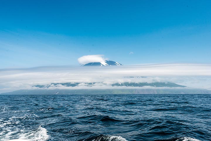
As we approach Paramushir Island, the tall peaks of Chikurachki (l) and Fuss (r) volcanoes come into view. (Photo: Tom Pfeiffer)
Otherwise, the passage between Atlasof and the western coast of Paramushir Island is in fine weather. (Photo: Tom Pfeiffer)
Latest satellite images