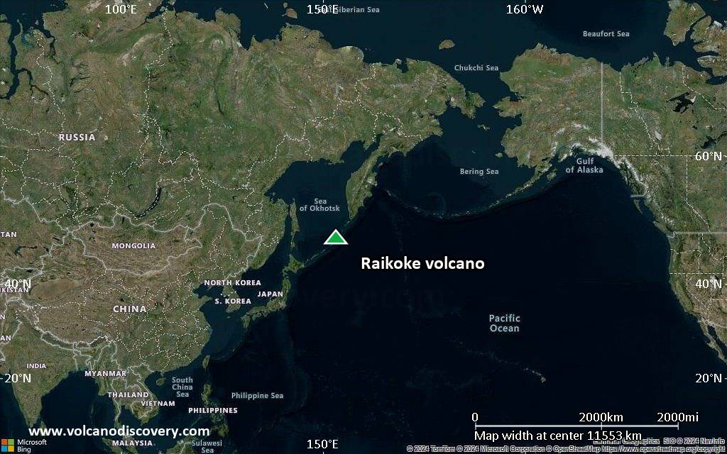
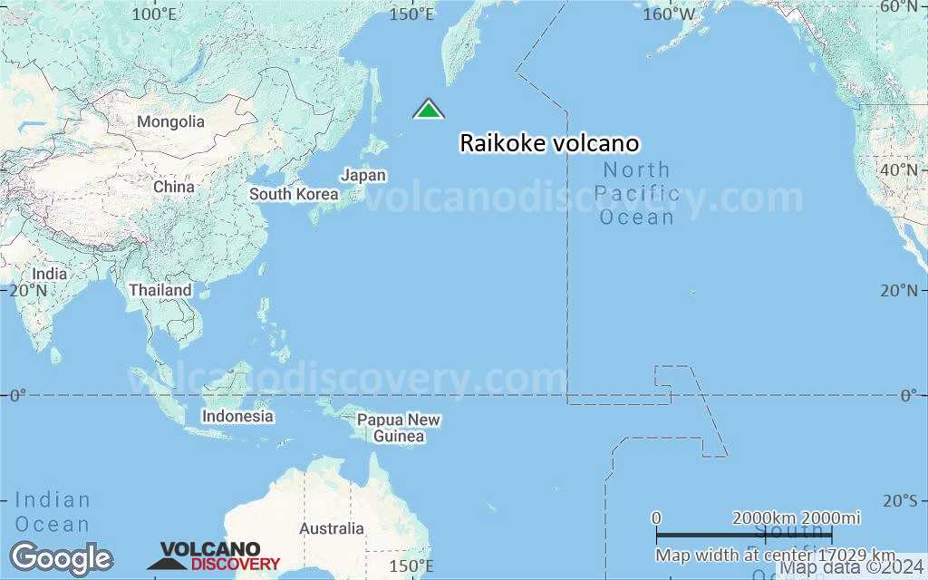
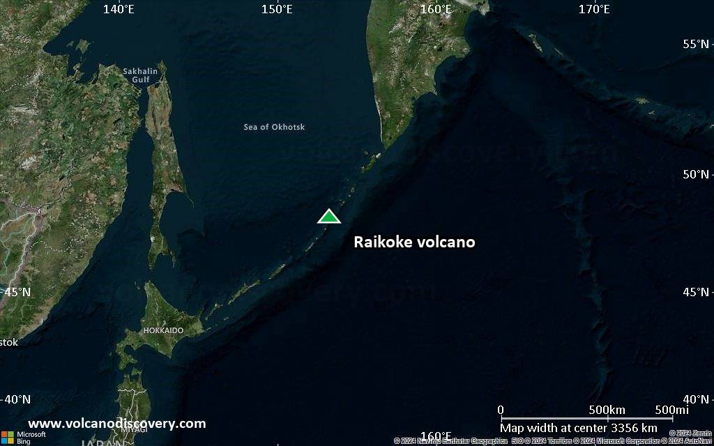
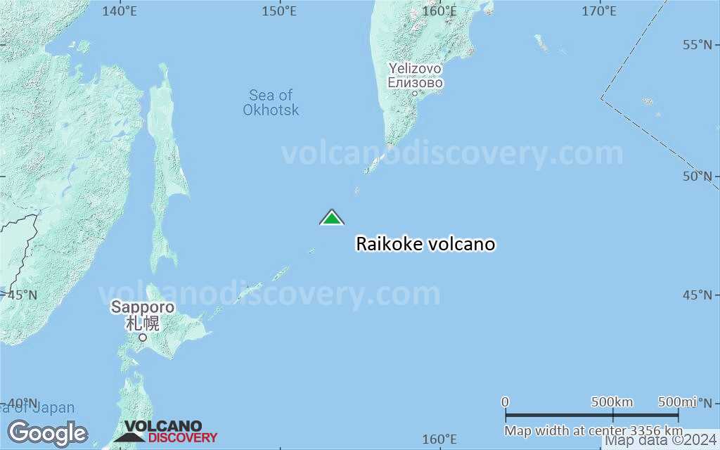
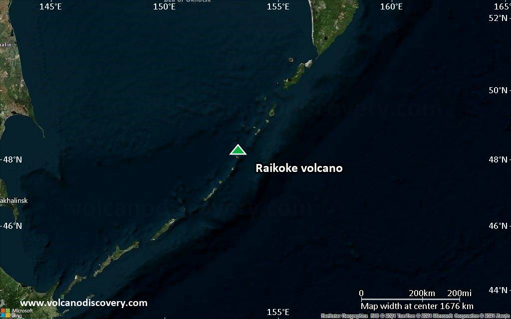
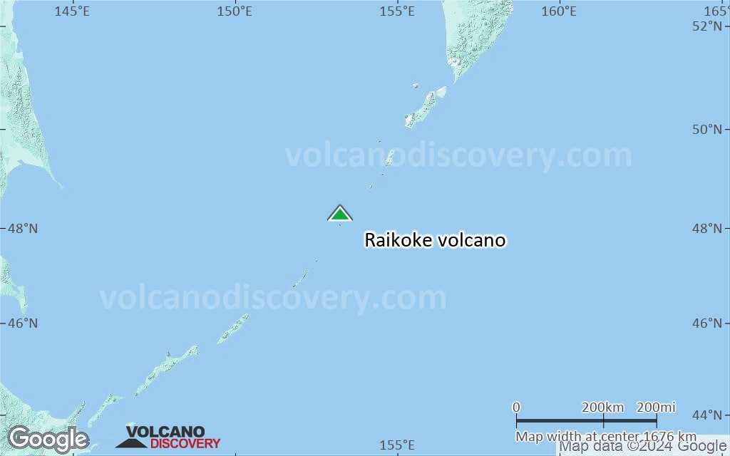
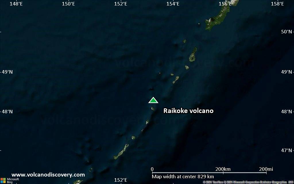
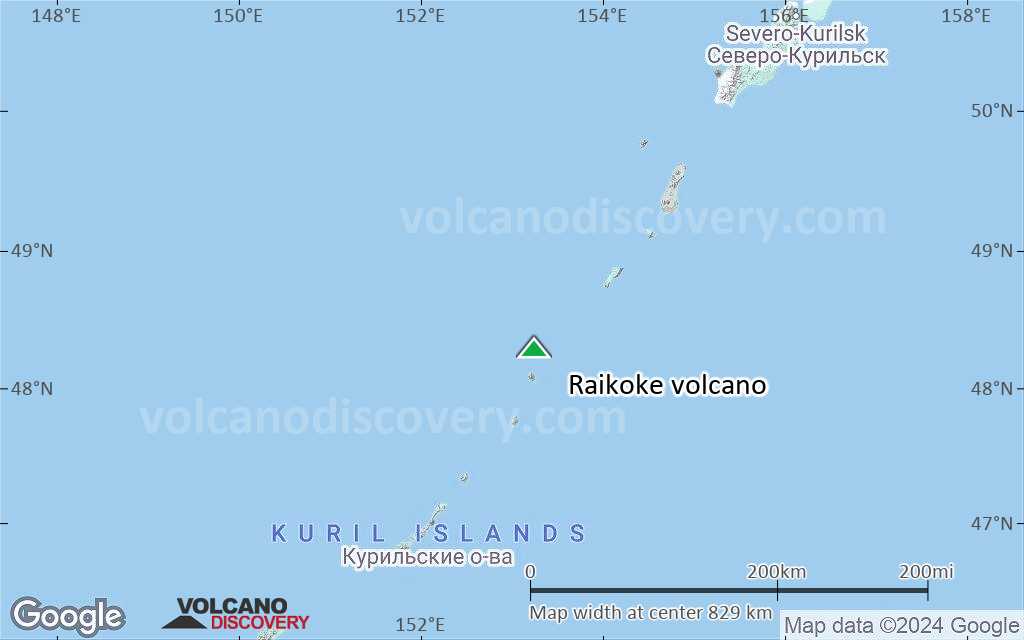
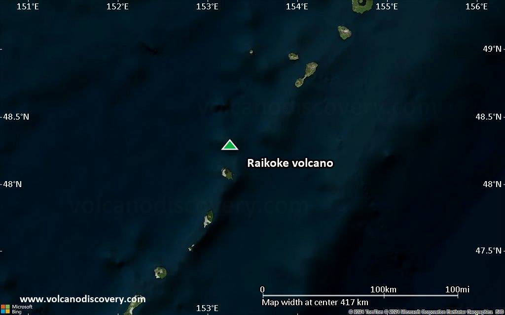
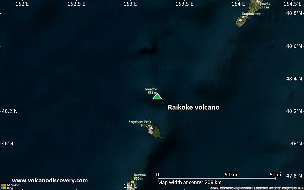
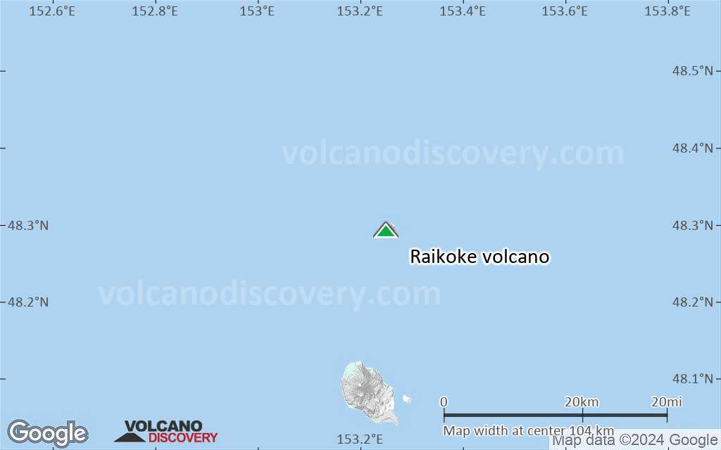
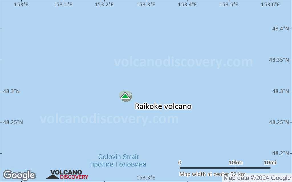
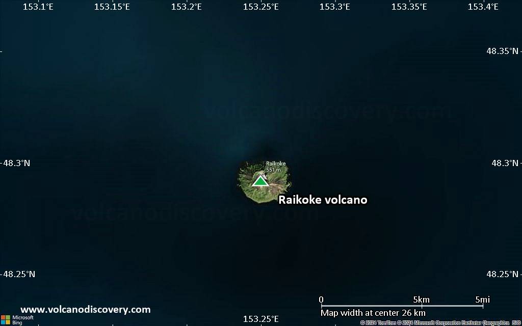
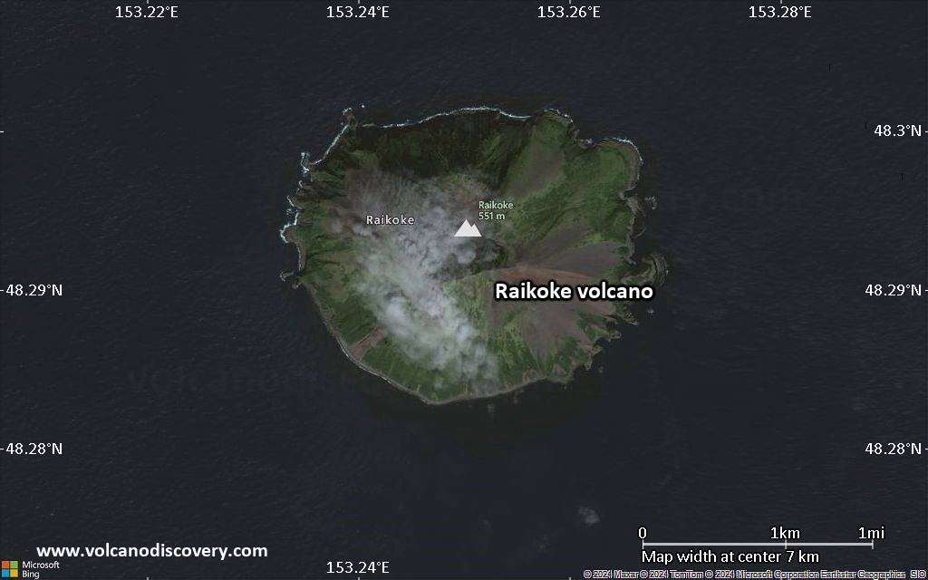
Raikoke Volcano
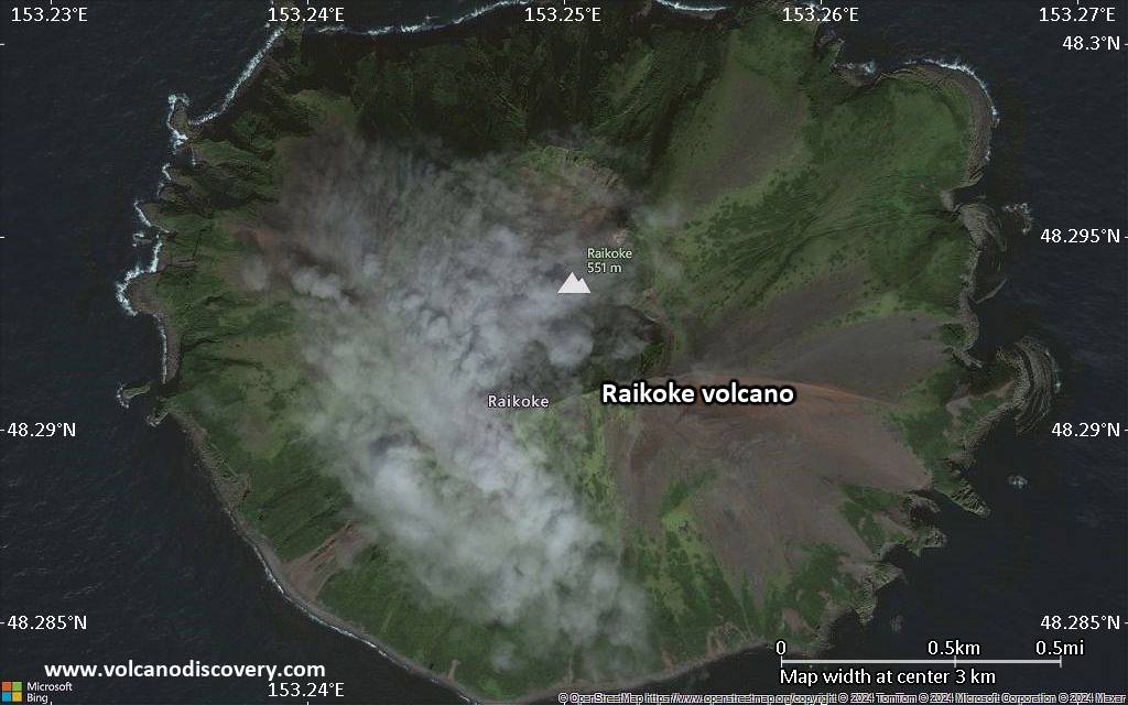
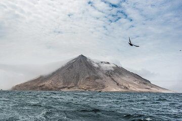
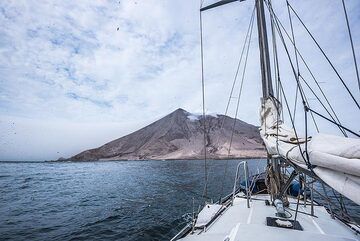
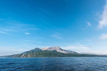
Raikoke (or Raikoki) volcano is mainly basaltic and has a 700 m wide and 200 m deep crater with steep walls. Raikoko has erupted lava flows all along the eastern side of the island.
A large eruption occurred in 1778 which destoryed the upper third of the island. Another strong eruption was in 1925, which reshaped the crater and altered the coastline of the island.
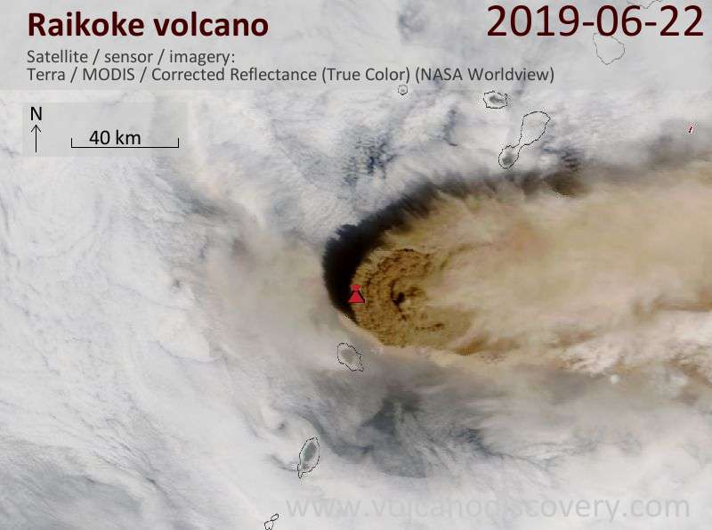
Raikoke volcano eruptions: 2019 June - ongoing, 1924, 1778, 1765
Latest nearby earthquakes
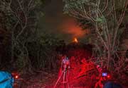
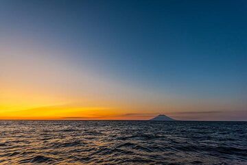
Raikoke Volcano Photos
Significant volcanic eruptions: Raikoke volcano
| Date | Note | VEI | Deaths | Damage | |
|---|---|---|---|---|---|
Historical obs./docs. | 3 | ||||
Historical obs./docs. | 4 | ||||
| 1778 (eruption | Historical obs./docs. | 4 | 15 | Info | |
Historical obs./docs. | 4 | ||||
Historical obs./docs. | 2 | ||||
Raikoke Volcano FAQ
+When was the last eruption of Raikoke volcano?
The last confirmed eruption of Raikoke occurred in 2019.
+How often does Raikoke volcano erupt?
Since 1765, Raikoke volcano has had at least 4 historically documented eruptions. This means that it erupts on average every 65 years.
+How active is Raikoke volcano at present?
Raikoke volcano is occasionally active: Since 1900, it has had 2 eruptions, and been active during 2 years out of 126 as of now. This means, Raikoke has been in eruption one in 63 years on average. The last eruption was in 2019 and ended 6 years ago.
+When was the largest eruption of Raikoke volcano?
The largest eruption of Raikoke volcano in historic times occurred in 1924. It ranks as a sub-plinian eruption with a magnitude 4 on the VEI (Volcanic Explosivity Index) scale.
Latest satellite images
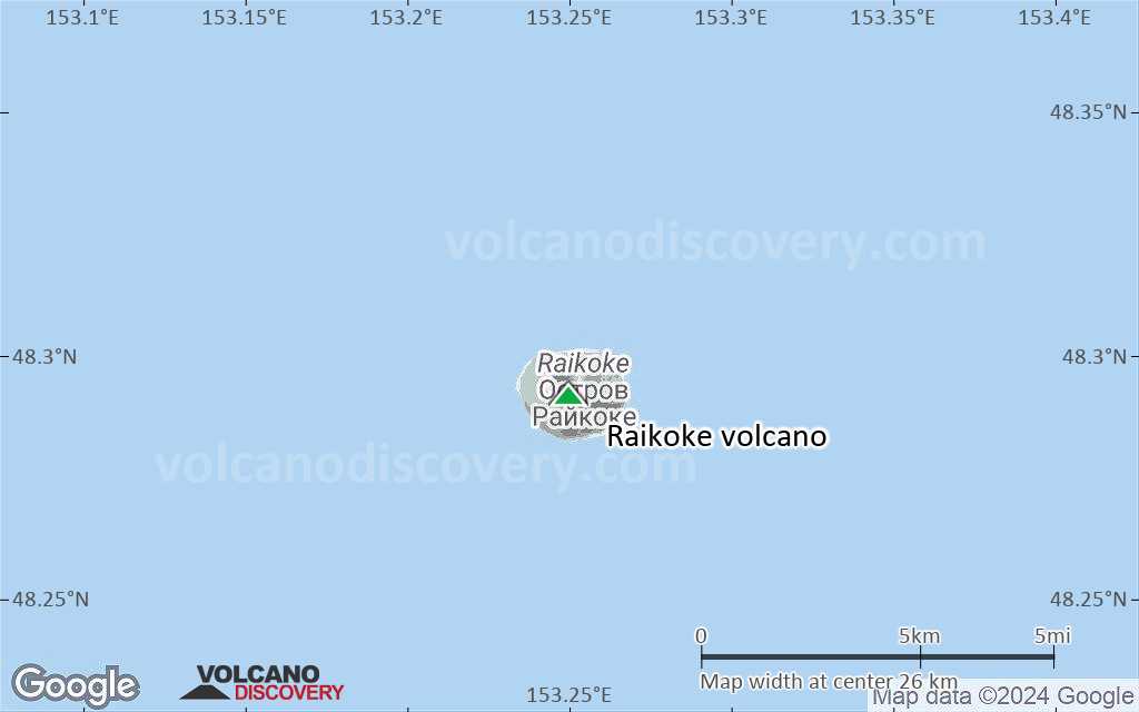
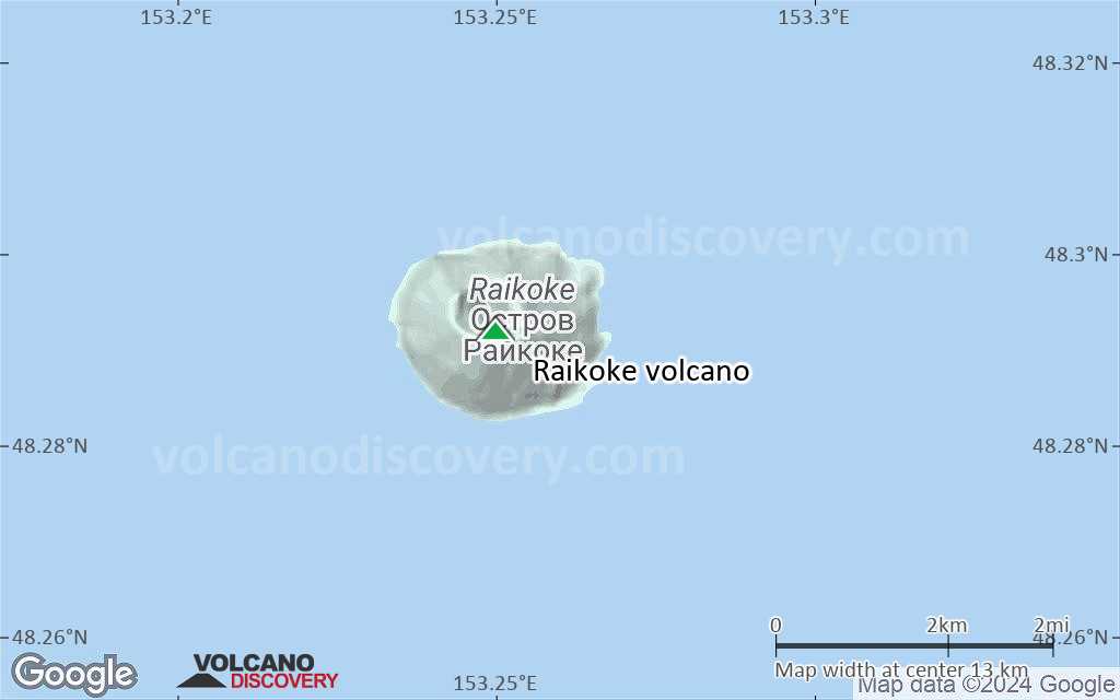
Raikoke Volcano Maps