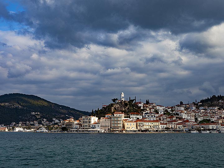
Poros Volcano
Updated: Apr 19, 2025 10:52 GMT -
Fissure vent
Saronic Gulf, Greece, 37.5°N / 23.46°E 
Summit height: 80 m / 262 ft
Current status: (probably) extinct (0 out of 5)
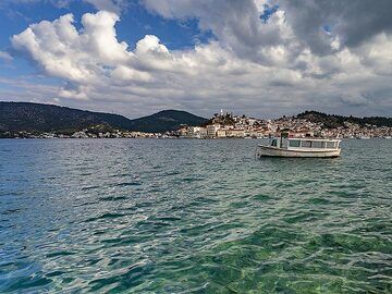
The island of Poros ("Sphairia"), a lava dome that formed 2-3 million years ago. (image: Tobias Schorr)
[smaller] [larger]
Poros volcano eruptions: None during the past 10,000 years
Less than 2.58 million years ago (Pleistocene)
Latest nearby earthquakes
| Date and Time | Mag / Depth | Distance / Location | |||
|---|---|---|---|---|---|
| Apr 18, 06:24 am (Universal Time) | 1.5 5 km | 9.4 km (5.8 mi) to the SE | Info | ||
| Apr 18, 05:59 am (Universal Time) | 1.6 5 km | 9.1 km (5.7 mi) to the SE | Info | ||
| Apr 18, 05:53 am (Universal Time) | 1.6 15 km | 11 km (7 mi) to the SE | Info | ||
| Apr 18, 05:51 am (Universal Time) | 1.8 6 km | 13 km (7.9 mi) to the SE | Info | ||
| Apr 18, 05:00 am (Universal Time) | 2.2 12 km | 13 km (7.8 mi) to the SE | Info | ||
| Apr 18, 01:24 am (Universal Time) | 1.3 10 km | 6.6 km (4.1 mi) to the S | Info | ||
| Thursday, April 17, 2025 GMT (4 quakes) | |||||
| Apr 17, 08:52 pm (Universal Time) | 1.5 10 km | 15 km (9.2 mi) to the SE | Info | ||
| Apr 17, 07:46 pm (Universal Time) | 3.2 13 km | 13 km (8.1 mi) to the SE | Info | ||
| Apr 17, 07:43 pm (Universal Time) | 2.8 15 km | 13 km (8.1 mi) to the SE | Info | ||
Background
Poros consists of a small Pliocene to Pleistocene lava volcano erupted from fissures (IAVCEI, Keller 1982).---
Smithsonian / GVP volcano information
Poros Volcano Photos
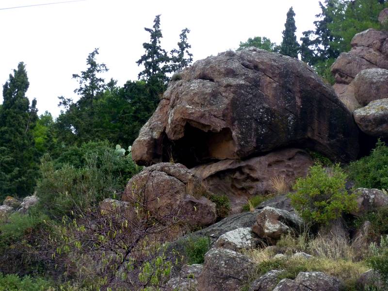
Impressive rocks of volcanic origin on Poros island, Greece (Photo: Janka)

Cafe at the seafront of Poros Island, Greece (c)
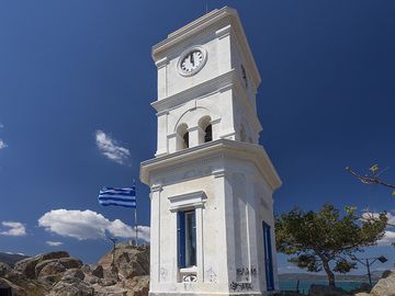
The famous clock tower on top of Poros island. (Photo: Tobias Schorr)

Fisher man who throws unsaleable fish back to the sea at Poros island. (Photo: Tobias Schorr)
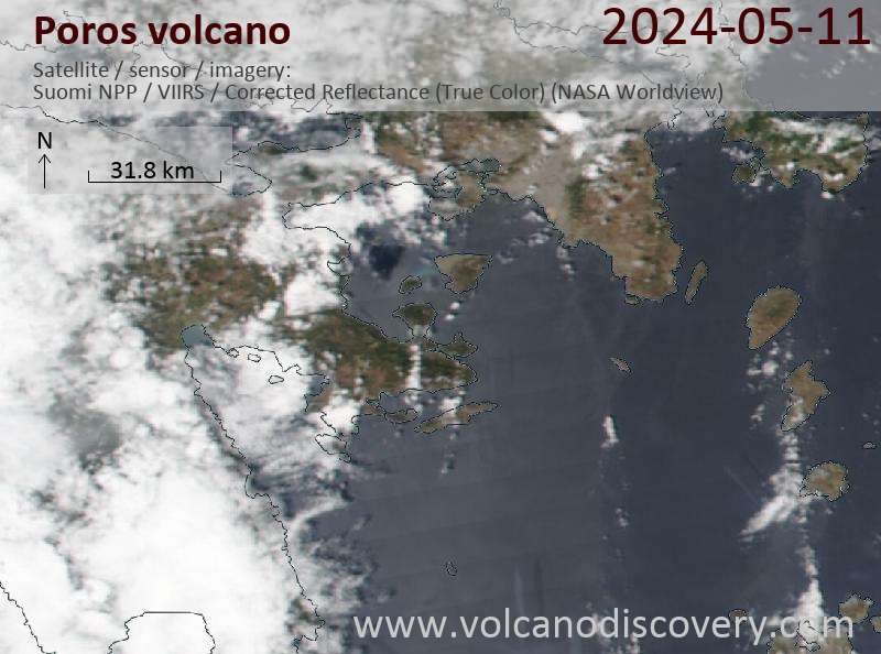
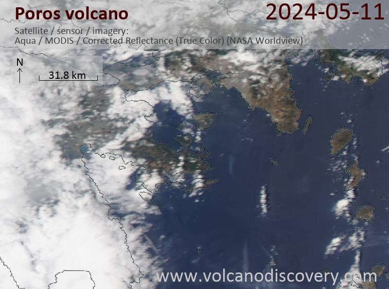
Latest satellite images
Poros Volcano Tours
Saronic Gulf (Greece)
Treasures of the Saronic Gulf
private geo tour to the Methana volcanic peninsula and the Saronic Gulf, 2-3 days
3 days / 2 nights - Easy to Moderate
Price 0 €
Price 0 €
Custom and group dates
Saronic Gulf (Greece)
Land of Theseus
8-day geo and walking tour in the Saronic Gulf near Athens
8 days / 7 nights - Moderate
Price 1590 €
Price 1590 €
23-30 Mar 2026
Poros Volcano Maps
Below is a selection of maps showing the location and surroundings of the volcano at various resolutions based on aerial-imagery / terrain maps. Feel free to use them for non-commercial purposes on your blog or website as long as you credit them with a link back to this page (click to copy it).

Satellite/aerial-type map of Poros volcano (world scale)

Terrain-type map of Poros volcano (world scale)

Satellite/aerial-type map of Poros volcano (region scale large)

Terrain-type map of Poros volcano (region scale large)

Satellite/aerial-type map of Poros volcano (region scale medium)

Terrain-type map of Poros volcano (region scale medium)

Satellite/aerial-type map of Poros volcano (region scale small)

Terrain-type map of Poros volcano (region scale small)

Satellite/aerial-type map of Poros volcano (local scale large)

Terrain-type map of Poros volcano (local scale large)

Satellite/aerial-type map of Poros volcano (local scale medium)

Terrain-type map of Poros volcano (local scale medium)

Satellite/aerial-type map of Poros volcano (local scale small)

Terrain-type map of Poros volcano (local scale small)

Satellite/aerial-type map of Poros volcano (scale of 10s of km)

Terrain-type map of Poros volcano (scale of 10s of km)

Satellite/aerial-type map of Poros volcano (scale of 20-40 km)

Terrain-type map of Poros volcano (scale of 20-40 km)

Satellite/aerial-type map of Poros volcano (scale of approx. 10-20 km)

Terrain-type map of Poros volcano (scale of approx. 10-20 km)

Satellite/aerial-type map of Poros volcano (scale of 5-10 km)

Satellite/aerial-type map of Poros volcano (scale of few kilometers)