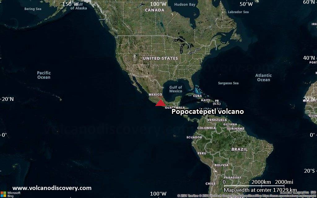
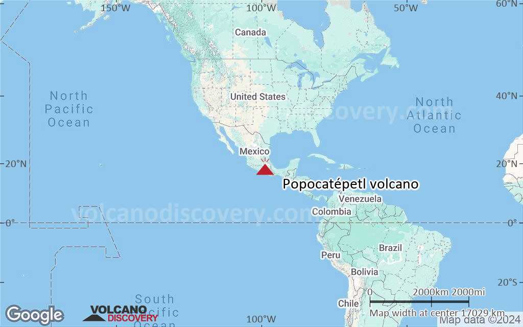
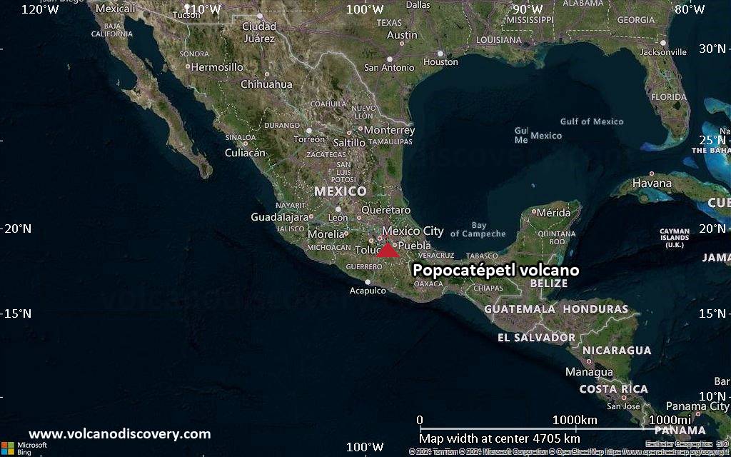
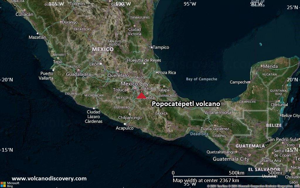
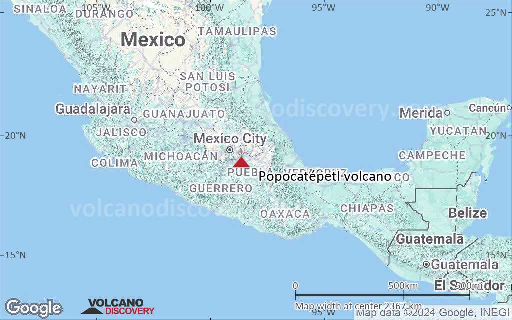
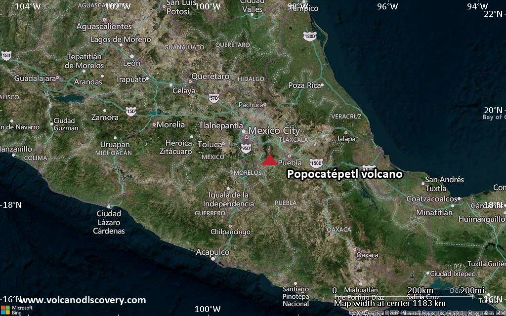
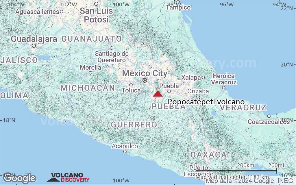
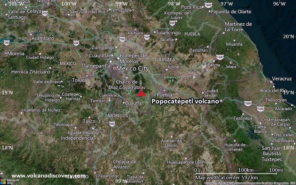
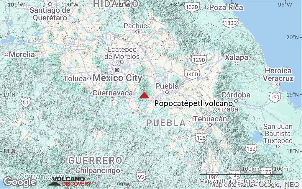
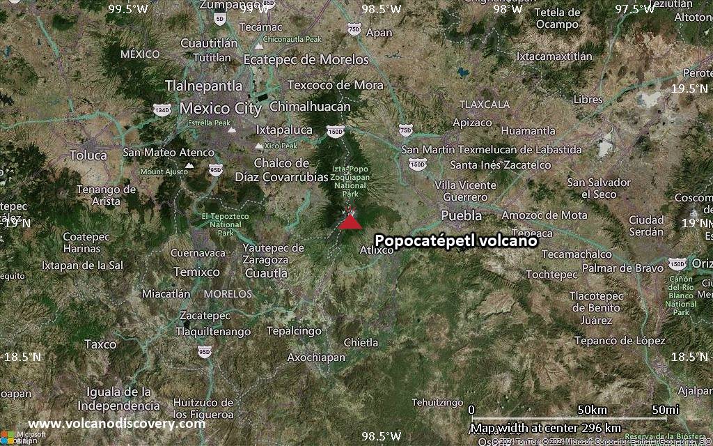
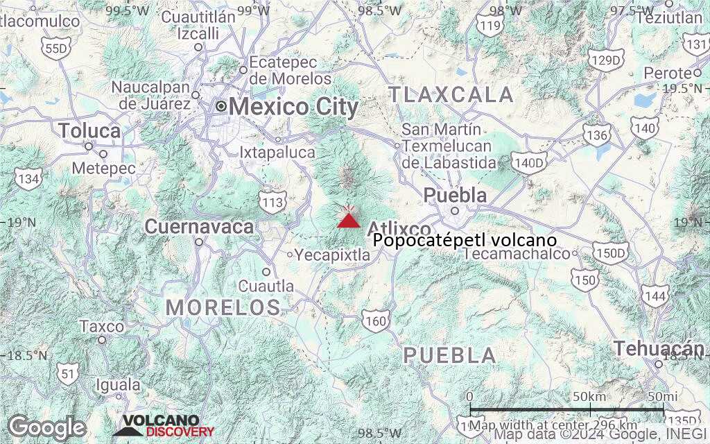
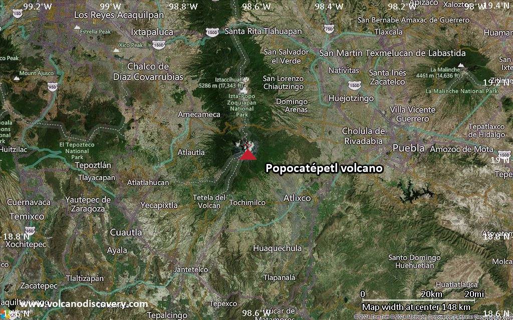
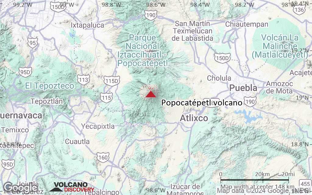
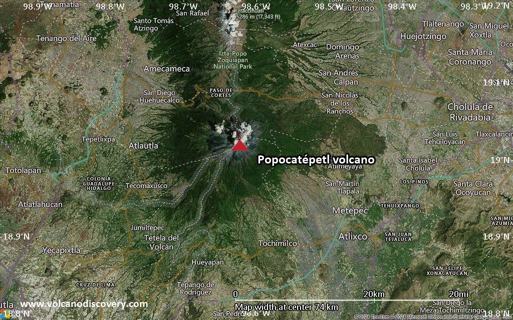
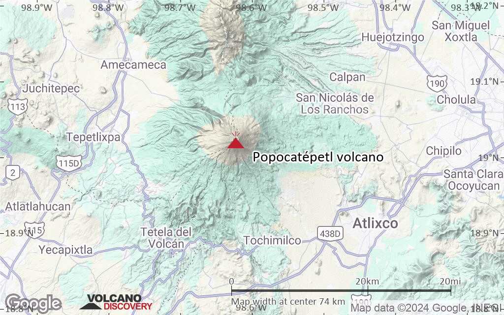
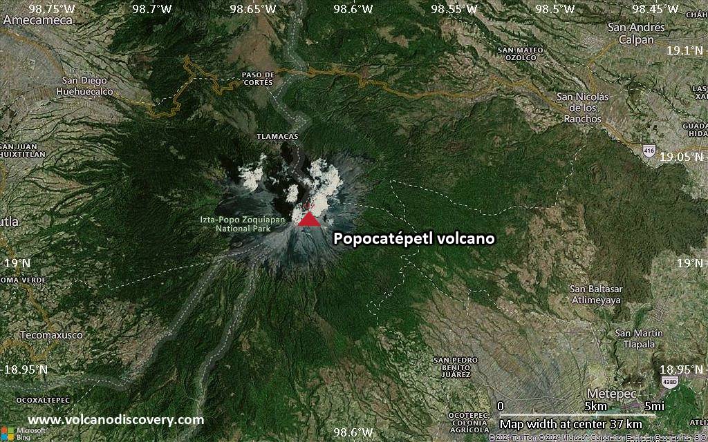
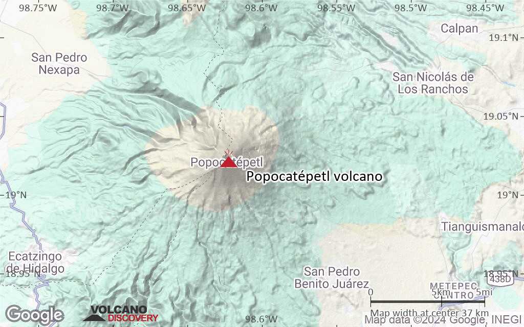
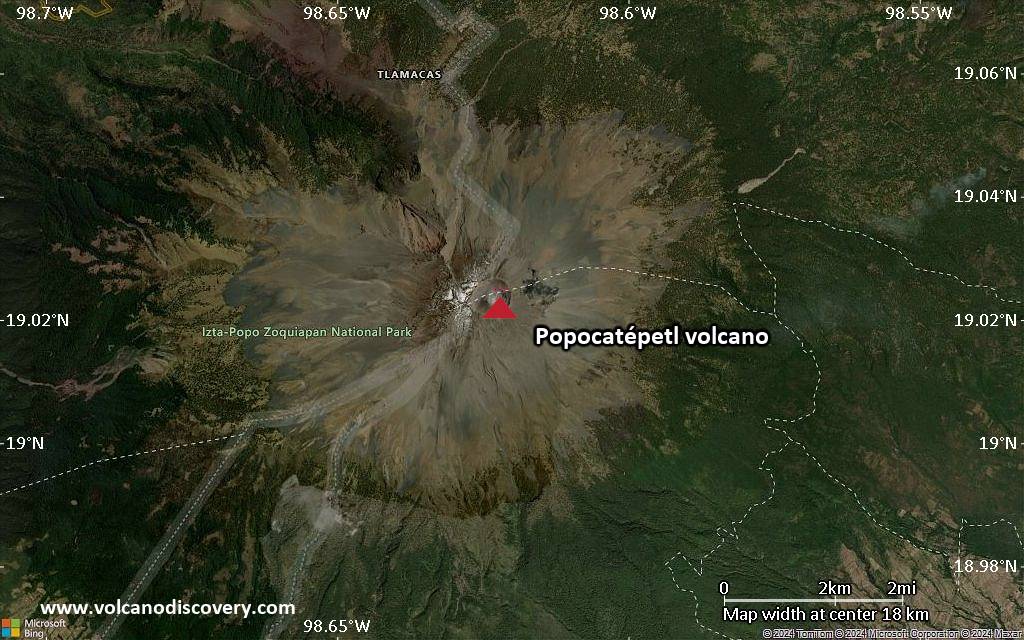
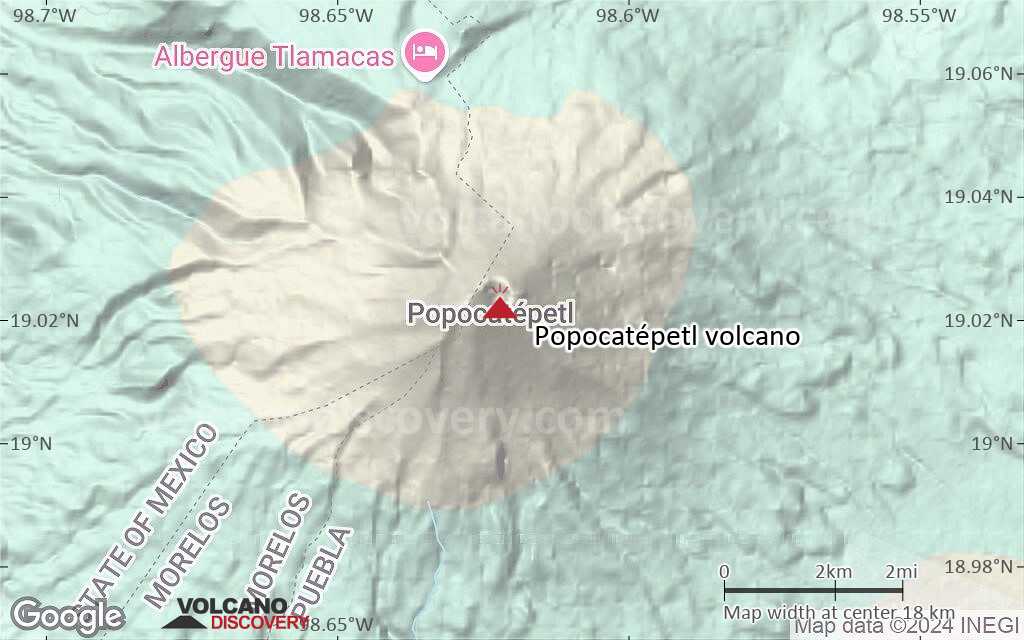
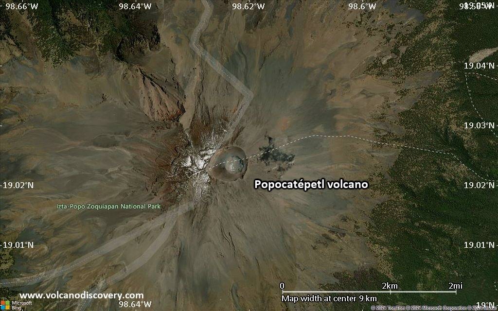
Popocatépetl Volcano
Popocatepetl is one of Mexico's most active volcanoes. After almost 50 years of dormancy, "Popo" came back to life in 1994 and has since then been producing powerful explosions at irregular intervals.
In the past centuries befor European invasions, large eruptions produced giant mud flows that have buried Atzteque settlements, even entire pyramids.
Popocatépetl volcano eruptions: 1345-47, 1354, 1363(?), 1488, 1504, 1509(?), 1512, 1518, 1519-23(?), 1528, 1530, 1539-40, 1542, 1548, 1571, 1580, 1590, 1592-94, 1642, 1663-65, 1666-67, 1697, 1720, 1802-04, 1827(?), 1834(?), 1852(?), 1919-22, 1923-24, 1925-27(?), 1933, 1942-43, 1947, 1994-95, 1996-2003, 2004-ongoing
Latest nearby earthquakes
| Date and Time | Mag / Depth | Distance / Location | |||
|---|---|---|---|---|---|
Background
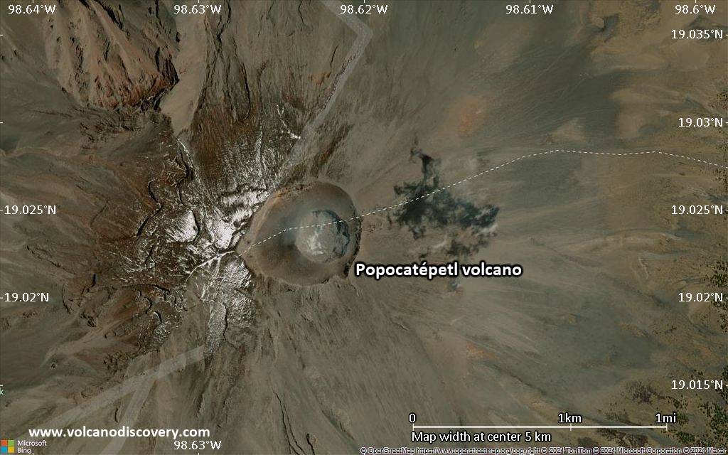
Volcán Popocatépetl, whose name is the Aztec word for smoking mountain, towers to 5426 m 70 km SE of Mexico City to form North America's 2nd-highest volcano. The glacier-clad stratovolcano contains a steep-walled, 250-450 m deep crater. The generally symmetrical volcano is modified by the sharp-peaked Ventorrillo on the NW, a remnant of an earlier volcano.At least three previous major cones were destroyed by gravitational failure during the Pleistocene, producing massive debris-avalanche deposits covering broad areas south of the volcano. The modern volcano was constructed to the south of the late-Pleistocene to Holocene El Fraile cone. Three major plinian eruptions, the most recent of which took place about 800 AD, have occurred from Popocatépetl since the mid Holocene, accompanied by pyroclastic flows and voluminous lahars that swept basins below the volcano. Frequent historical eruptions, first recorded in Aztec codices, have occurred since precolumbian time.
---
Source: GVP, Smithsonian Institution - Popocatepetl information
Popocatépetl Volcano Photos


Significant volcanic eruptions: Popocatépetl volcano
Additionally, there are 5 uncertain or discredited eruptions from Popocatépetl volcano.
| Date | Note | VEI | Deaths | Damage | |
|---|---|---|---|---|---|
Historical obs./docs. | 2 | ||||
| 2022 Jun 22 (eruption | Historical obs./docs. | 2 | 1 | Info | |
Historical obs./docs. | 2 | ||||
Historical obs./docs. | 3 | ||||
| 1996 Apr 30 (eruption | Historical obs./docs. | 3 | 5 | light | Info |
Historical obs./docs. | 2 | ||||
Historical obs./docs. | 1 | ||||
Historical obs./docs. | 1 | ||||
Historical obs./docs. | 1 | ||||
Historical obs./docs. | 2 | ||||
Historical obs./docs. | 1 | ||||
Historical obs./docs. | 1 | ||||
| 1919 Feb 19 (eruption | Historical obs./docs. | 1 | 50-100 (*) | Info | |
?? | Uncertain Eruption | 1? | |||
?? | Uncertain Eruption | 1? | |||
?? | Uncertain Eruption | 1? | |||
Historical obs./docs. | 1 | ||||
Historical obs./docs. | 1 | ||||
Historical obs./docs. | 1 | ||||
Historical obs./docs. | 2? | ||||
Historical obs./docs. | 3? | ||||
Historical obs./docs. | 2 | ||||
Historical obs./docs. | 2 | ||||
Historical obs./docs. | 2? | ||||
Historical obs./docs. | 2? | ||||
Historical obs./docs. | 2 | ||||
Historical obs./docs. | 2 | ||||
Historical obs./docs. | 2 | ||||
Historical obs./docs. | 2 | ||||
Historical obs./docs. | 2 | ||||
Historical obs./docs. | 2? | ||||
Historical obs./docs. | 3? | ||||
Historical obs./docs. | 2? | ||||
Historical obs./docs. | 2? | ||||
?? | Uncertain Eruption | ? | |||
Historical obs./docs. | 2? | ||||
Historical obs./docs. | 2? | ||||
?? | Uncertain Eruption | 2? | |||
Historical obs./docs. | 2? | ||||
Historical obs./docs. | 2? | ||||
Popocatépetl Volcano FAQ
+When was the last eruption of Popocatépetl volcano?
The last confirmed eruption of Popocatépetl began in 2005 and is continuing (as of November 2025).
+How often does Popocatépetl volcano erupt?
Since 1345 AD, Popocatépetl volcano has had at least 32 historically documented eruptions. This means that it erupts on average every 21.3 years.
Many eruptions of Popocatépetl have lasted more than one year. In total, the volcano has been in eruption during 81 out of 680 years until now. In other words, Popocatépetl has been active at least one in 8.4 years on average. Note that this value is likely an underestimate, because the known history of eruptions from Popocatépetl is likely incomplete, especially further back in time.
+How active is Popocatépetl volcano at present?
Popocatépetl volcano is very active: Since 1900, it has had 45 eruptions, and been active during 45 years out of 126 as of now. This means, Popocatépetl has been in eruption one in 2.8 years on average. The latest eruption is still continuing at present.
+When was the largest eruption of Popocatépetl volcano?
The largest eruption known from the younger geological history of Popocatépetl volcano occurred around 200 BC. It ranks as a "vulcanian" eruption with a magnitude 3 on the VEI (Volcanic Explosivity Index) scale.
Latest satellite images

Price 1650 €
Popocatépetl Volcano Maps