


Nemrut Dagi Volcano
Updated: Apr 18, 2025 00:01 GMT -
caldera
Turkey, 38.62°N / 42.26°E 
Summit height: 2948 m
Current status: normal or dormant (1 out of 5)
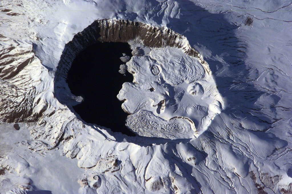
The summit of Nemrut Dagi is truncated by a 5 x 9 km caldera near Lake Van in eastern Turkey. A lake that partially fills the western side of the caldera is constrained by post-caldera eruptions that produced glassy obsidian lava flows from domes on the eastern caldera floor. A series of scoria cones and lava domes were erupted along N-S-trending fissures on the northern flank. Ash layers in Lake Van document numerous Holocene eruptions from Nemrut Dagi. (Image: NASA International Space Station image ISS001-E-6354, 2001, http://eol.jsc.nasa.gov/).
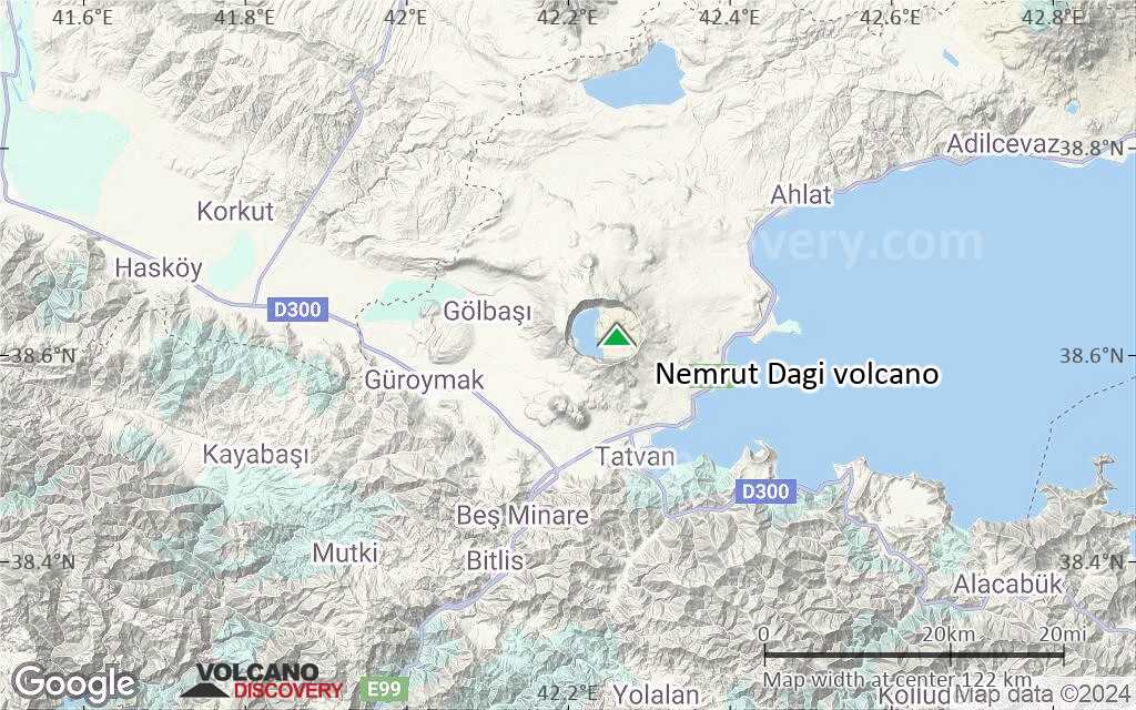
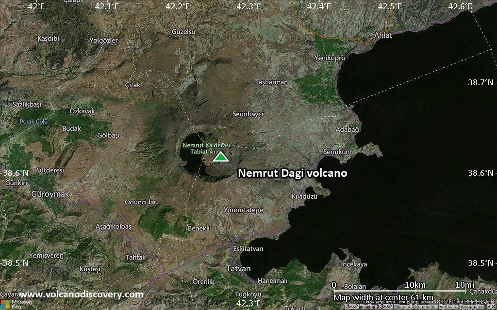
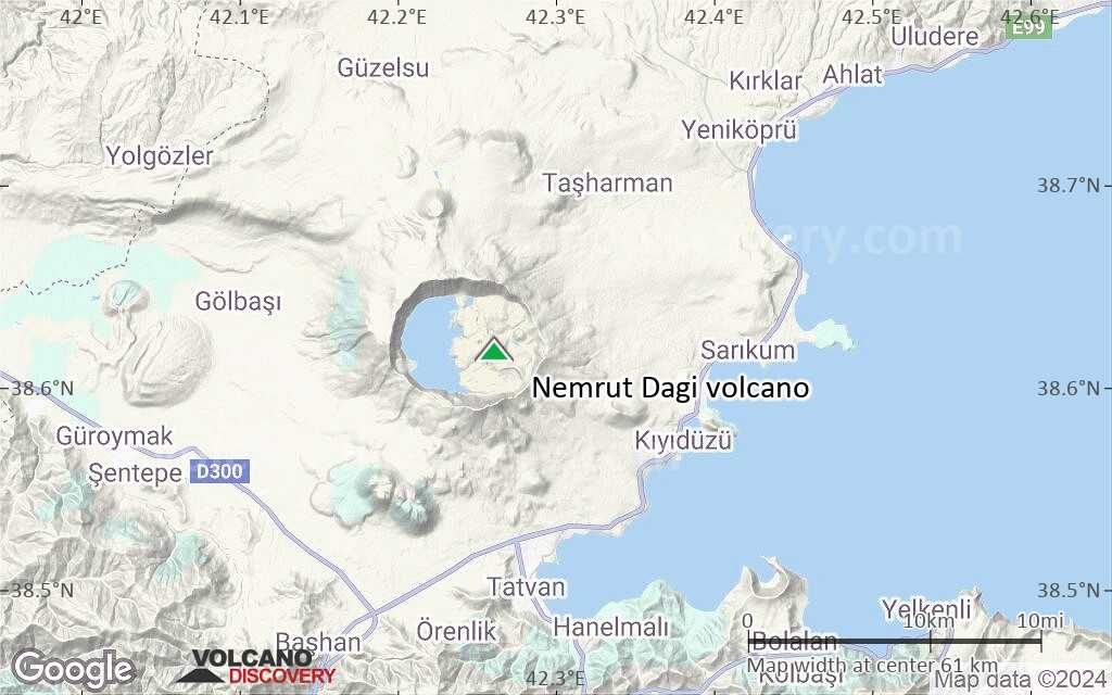
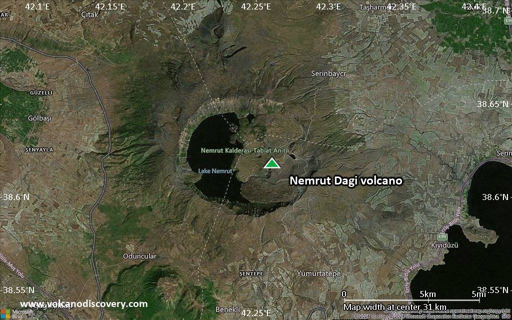
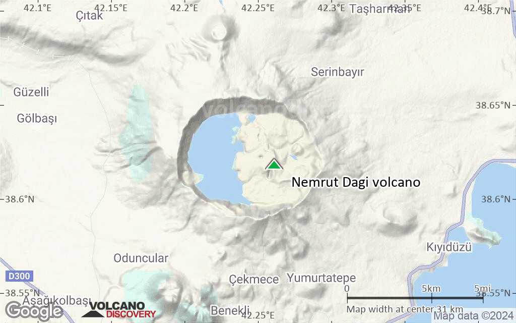
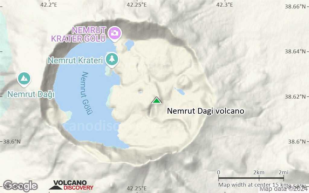
Nemrut Dağ (or Nemrut Dagi) volcano is the westernmost of a group of volcanoes near Lake Van in eastern Anatolia, and the only one that has erupted in historical time. It contains a 9 x 5 km caldera partially filled on its western side by a caldera lake.
[smaller] [larger]
Nemrut Dagi volcano eruptions: 1881 AD
1441 AD
Latest nearby earthquakes
Background
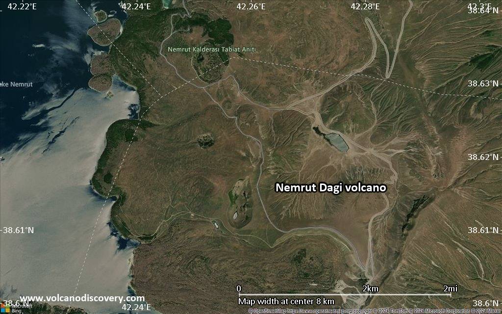
The diameter of the caldera is about 9 x 5 km and it is half filled by a crater lake. Volcanic activity after the caldera formation has produced rhyolithic & basaltic lava flows and domes at the caldera rim and on its floor.Pyroclastic flows and the emission of glassy obsidian lava flows accompanied construction of lava domes within the caldera; later activity formed a series of cinder cones and lava domes erupted along N-S-trending fissures on the northern flank. The most recent activity has been concentrated along a NNW-trending fissure cutting the eastern caldera floor and extending beyond the north caldera rim; nearly two dozen cinder cones and lava domes were constructed on the caldera floor. Ash layers in Lake Van document numerous Holocene eruptions, and an historical eruption in 1441 AD from a north-flank fissure involved compositionally bimodal lava flows.
Nemrut Dagi Volcano Photos
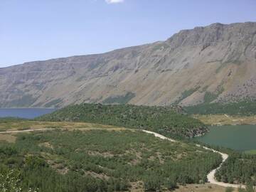
Nemrut Dagi, little part of blue and green lake, near Tatvan, East Anatolia, Turkey (Photo: WNomad)
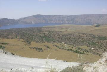
Panoramic View of Blue Lake in Caldera Nemrut Dagi, Turkey (Photo: WNomad)
Significant volcanic eruptions: Nemrut Dagi volcano
In the past 10,000 years, Nemrut Dagi has had at least 26 confirmed volcanic eruptions, out of which 4 are documented by historical records, while the others can be inferred from geological evidence.
There is one uncertain or discredited eruption in 1692 AD from Nemrut Dagi volcano.
There is one uncertain or discredited eruption in 1692 AD from Nemrut Dagi volcano.
The table below lists all known eruptions (date in bold face) of Nemrut Dagi volcano since around 6000 BC. Updates on the most recent volcanic activity of Nemrut Dagi can be found on the news page of Nemrut Dagi volcano.
| Date | Note | VEI | Deaths | Damage | |
|---|---|---|---|---|---|
?? | Uncertain Eruption | ? | |||
| East flank (Lake Van) Historical obs./docs. | ? | ||||
Historical obs./docs. | ? | ||||
| North flank (Nemrut Boynu) Historical obs./docs. | ? | ||||
| ? | |||||
| East flank (Lake Van) Historical obs./docs. | ? | ||||
| ? | |||||
| ? | |||||
| ? | |||||
| ? | |||||
| ? | |||||
| ? | |||||
| ? | |||||
| ? | |||||
| ? | |||||
| ? | |||||
| ? | |||||
| ? | |||||
| ? | |||||
| ? | |||||
| ? | |||||
Remark:
Our list of volcanic eruptions closely follows the database of eruptions of the Smithsonian's Global Volcanism Project (GVP), the internationally most recognized data source for volcanic eruptions, but also includes significant eruptive episodes or related volcano events. "Volcanic eruptions" are usually to be understood as sequences of individual eruptive episodes that can follow each other, or even overlap (if several vents are involved), and can last many years, decades or even longer. For example, the current activity of Stromboli volcano is understood as a single eruption that has been ongoing since 1934.
Sources: NOAA National Centers for Environmental Information (NCEI), Global Significant Volcanic Eruptions Database. doi:10.7289/V5TD9V7K | Global Volcanism Project / Smithsonian Institution
Nemrut Dagi Volcano FAQ
+When was the last eruption of Nemrut Dagi volcano?
The last confirmed eruption of Nemrut Dagi occurred in 1650 AD.
+How often does Nemrut Dagi volcano erupt?
Since 1111 AD, Nemrut Dagi volcano has had at least 4 historically documented eruptions. This means that it erupts on average every 229 years.
Latest satellite images
Nemrut Dagi Volcano Maps
Below is a selection of maps showing the location and surroundings of the volcano at various resolutions based on aerial-imagery / terrain maps. Feel free to use them for non-commercial purposes on your blog or website as long as you credit them with a link back to this page (click to copy it).
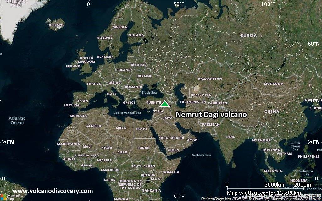
Satellite/aerial-type map of Nemrut Dagi volcano (world scale)
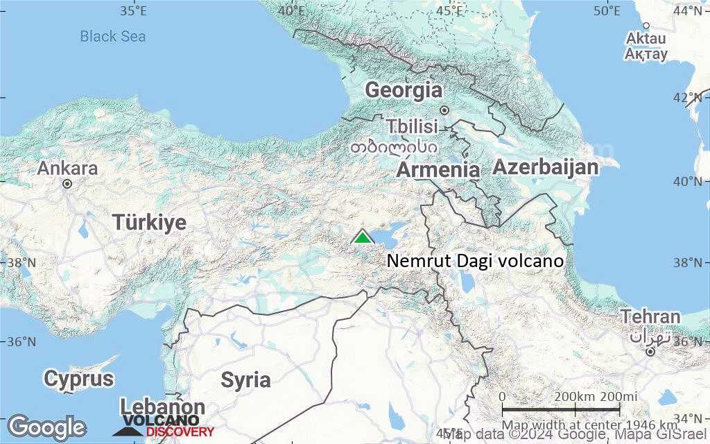
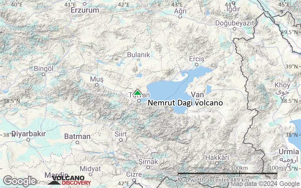
Terrain-type map of Nemrut Dagi volcano (world scale)
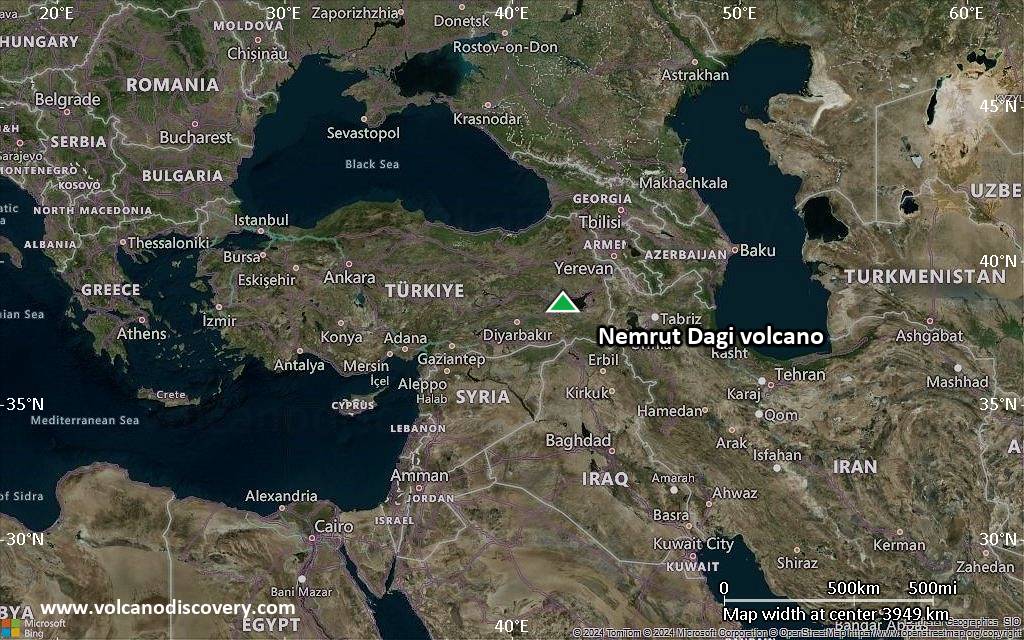
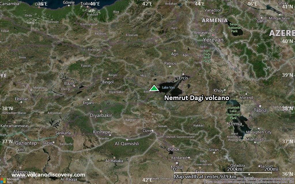
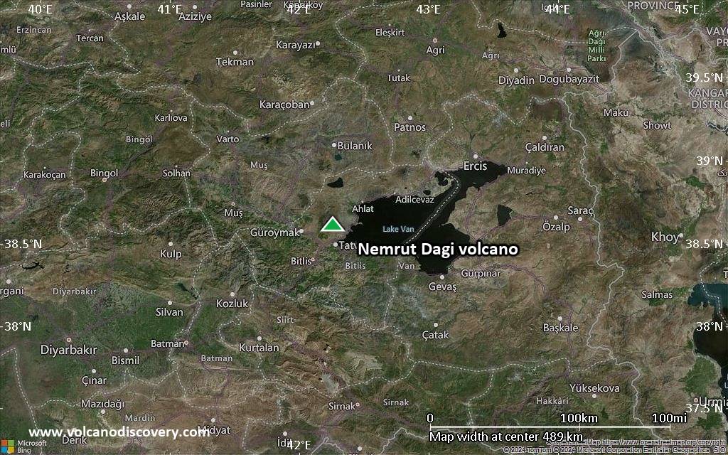
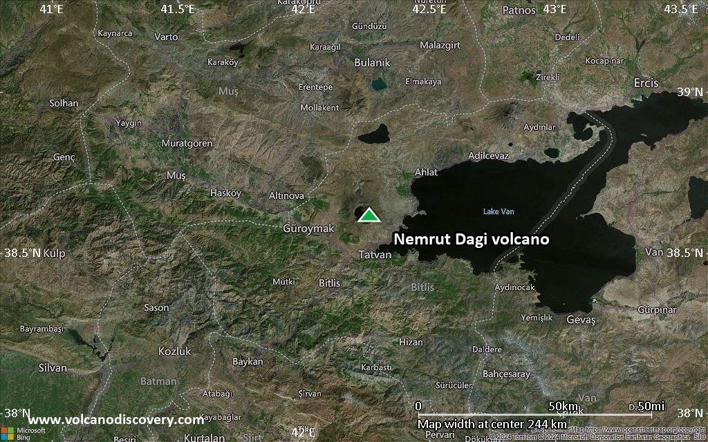
Satellite/aerial-type map of Nemrut Dagi volcano (region scale large)

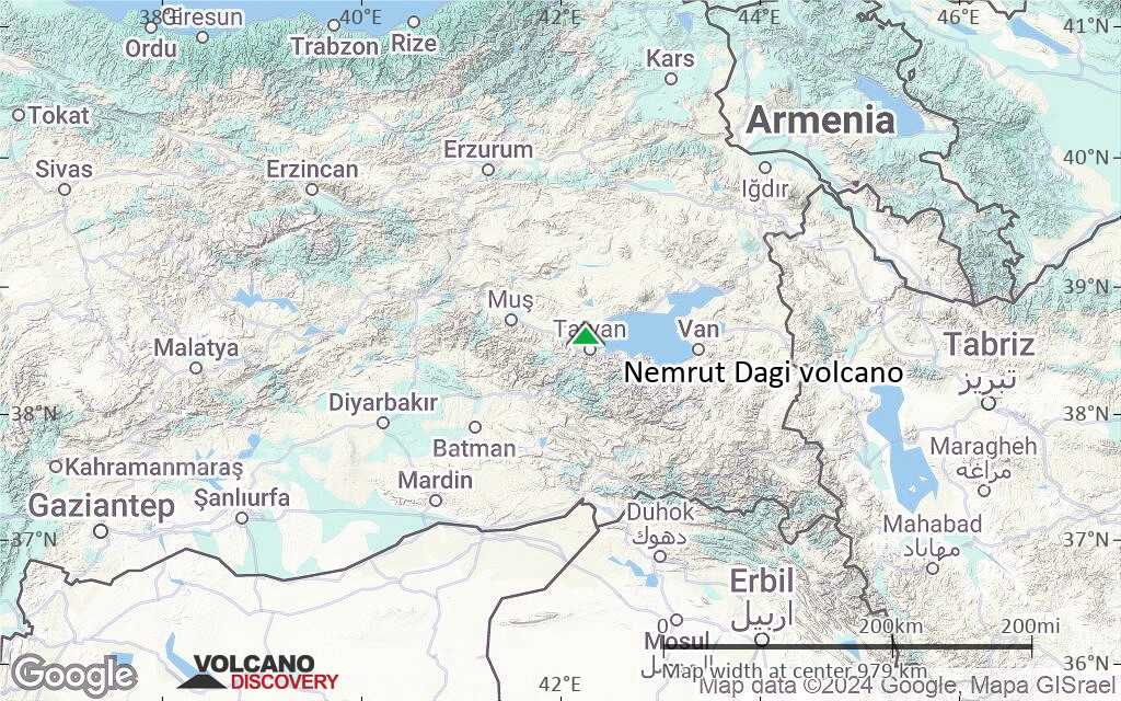
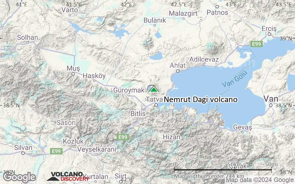
Terrain-type map of Nemrut Dagi volcano (region scale large)

Satellite/aerial-type map of Nemrut Dagi volcano (region scale medium)
Terrain-type map of Nemrut Dagi volcano (region scale medium)
Satellite/aerial-type map of Nemrut Dagi volcano (region scale small)
Terrain-type map of Nemrut Dagi volcano (region scale small)
Satellite/aerial-type map of Nemrut Dagi volcano (local scale large)
Terrain-type map of Nemrut Dagi volcano (local scale large)
Satellite/aerial-type map of Nemrut Dagi volcano (local scale medium)
Terrain-type map of Nemrut Dagi volcano (local scale medium)
Satellite/aerial-type map of Nemrut Dagi volcano (local scale small)
Terrain-type map of Nemrut Dagi volcano (local scale small)
Satellite/aerial-type map of Nemrut Dagi volcano (scale of 10s of km)
Terrain-type map of Nemrut Dagi volcano (scale of 10s of km)
Satellite/aerial-type map of Nemrut Dagi volcano (scale of 20-40 km)
Terrain-type map of Nemrut Dagi volcano (scale of 20-40 km)

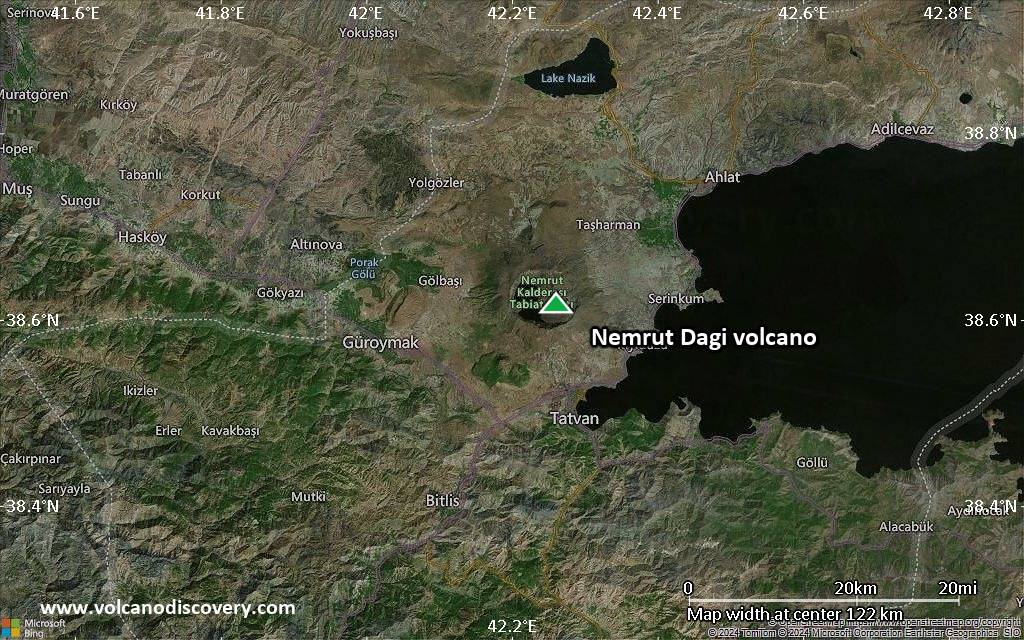
Satellite/aerial-type map of Nemrut Dagi volcano (scale of approx. 10-20 km)
Terrain-type map of Nemrut Dagi volcano (scale of approx. 10-20 km)
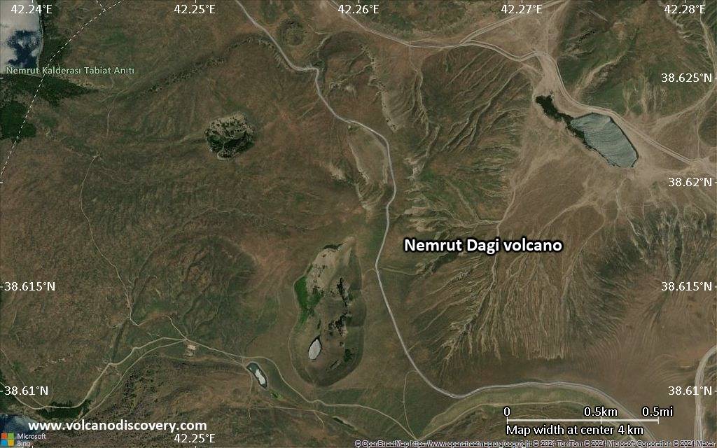
Satellite/aerial-type map of Nemrut Dagi volcano (scale of 5-10 km)
Satellite/aerial-type map of Nemrut Dagi volcano (scale of few kilometers)


