


Myojin Knoll Volcano
Updated: Oct 28, 2025 23:39 GMT -
submarine volcano
Izu Islands (Japan), 32.1°N / 139.85°E 
Summit height: -360 m / -1,181 ft
Current status: normal or dormant (1 out of 5)
Myojin Knoll volcano is a large submarine caldera between Aoga-shima and Bayonnaise Rocks volcanoes in the Izu-Bonin arc. The volcano contains a 6-7 km wide and up to 900 m deep caldera with steep walls.
The highest point on the western caldera rim is a pumice-mantled remnant of the cone before the caldera formation, and reaches to a depth of 360 m. The eruption that formed the caldera could have been only a few thousand years ago.
[smaller] [larger]
Myojin Knoll volcano eruptions: unknown
Latest nearby earthquakes
| Date and Time | Mag / Depth | Distance / Location | |||
|---|---|---|---|---|---|
Background
The walls of the caldera, also known as Kita-Bayonnaise (North Bayonnaise) reveal rhyolitic lava flows, shallow intrusions, and volcaniclastic deposits. A voluminous blanket of coarse rhyolitic pumice from the caldera-forming eruption mantles the caldera rim and its outer flanks.Post-caldera eruptions formed a lava dome that rises 250 m above the caldera floor. The age of the caldera is not known, but was considered by Fiske et al. (2001) to perhaps be as young as a few thousand years. An active hydrothermal vent field lies on the eastern caldera floor and has produced a polymetallic sulfide deposit from vent chimneys up to 30 m high that emit fluids as hot as 278 degrees C.
---
Reference cited:
Fiske R S, Naka J, Iizasa K, Yuasa M, Klaus A (2001) "Submarine silicic caldera at the front of the Izu-Bonin arc, Japan: voluminous seafloor eruptions of rhyolite pumice.", Geol Soc Amer Bull, 113, pp 813-824
(from: Smithsonian / GVP volcano information)
Significant volcanic eruptions: Myojin Knoll volcano
In the past 10,000 years, Myojin Knoll has had only one confirmed historic eruption ###WHEN1###|only one confirmed historic eruption ###WHEN1### and one ###WHEN2### inferred from geological evidence|only one confirmed historic eruption ###WHEN1###, but at least ###NUM_INFERRED### eruptions can be inferred from geological evidence|at least ###NUM_CONFIRMED### confirmed eruptions, all documented by historical records or observations|at least ###NUM_CONFIRMED### confirmed volcanic eruptions, out of which ###NUM_HISTORIC### are documented by historical records, while the others can be inferred from geological evidence.
No historic eruptions are known from Myojin Knoll volcano, but at least one eruption ###WHEN2### can be inferred from geological evidence|evidence from at least ###NUM_CONFIRMED### eruptions during the past 10,000 years can be found in the geological record.
No historic eruptions are known from Myojin Knoll volcano, but at least one eruption ###WHEN2### can be inferred from geological evidence|evidence from at least ###NUM_CONFIRMED### eruptions during the past 10,000 years can be found in the geological record.
The table below lists all known eruptions (date in bold face) of Myojin Knoll volcano in historic times and during the past 10,000 years. Updates on the most recent volcanic activity of Myojin Knoll can be found on the news page of Myojin Knoll volcano.
| Date | Note | VEI | Deaths | Damage | |
|---|---|---|---|---|---|
| 1953 Mar 25 (eruptive episode | Tsunami recorded | 2 | Info | ||
| 1953 Mar 11 (eruptive episode | Tsunami recorded | 2 | Info | ||
| 1952 Sep 26 (eruptive episode | Tsunami recorded | 2 | Info | ||
| 1952 Sep 24 (eruptive episode | Tsunami recorded | 2 | 31 | light | Info |
| 1952 Sep 23 (eruptive episode | Tsunami recorded | 2 | Info | ||
| 1952 Sep 17 (eruptive episode | Tsunami recorded | 2 | Info | ||
| 1952 Sep 16 (eruptive episode | Tsunami recorded | 2 | Info | ||
Remark:
Our list of volcanic eruptions closely follows the database of eruptions of the Smithsonian's Global Volcanism Project (GVP), the internationally most recognized data source for volcanic eruptions, but also includes significant eruptive episodes or related volcano events. "Volcanic eruptions" are usually to be understood as sequences of individual eruptive episodes that can follow each other, or even overlap (if several vents are involved), and can last many years, decades or even longer. For example, the current activity of Stromboli volcano is understood as a single eruption that has been ongoing since 1934.
Sources: NOAA National Centers for Environmental Information (NCEI), Global Significant Volcanic Eruptions Database. doi:10.7289/V5TD9V7K | Global Volcanism Project / Smithsonian Institution
Latest satellite images
Myojin Knoll Volcano Maps
Below is a selection of maps showing the location and surroundings of the volcano at various resolutions based on aerial-imagery / terrain maps. Feel free to use them for non-commercial purposes on your blog or website as long as you credit them with a link back to this page (click to copy it).
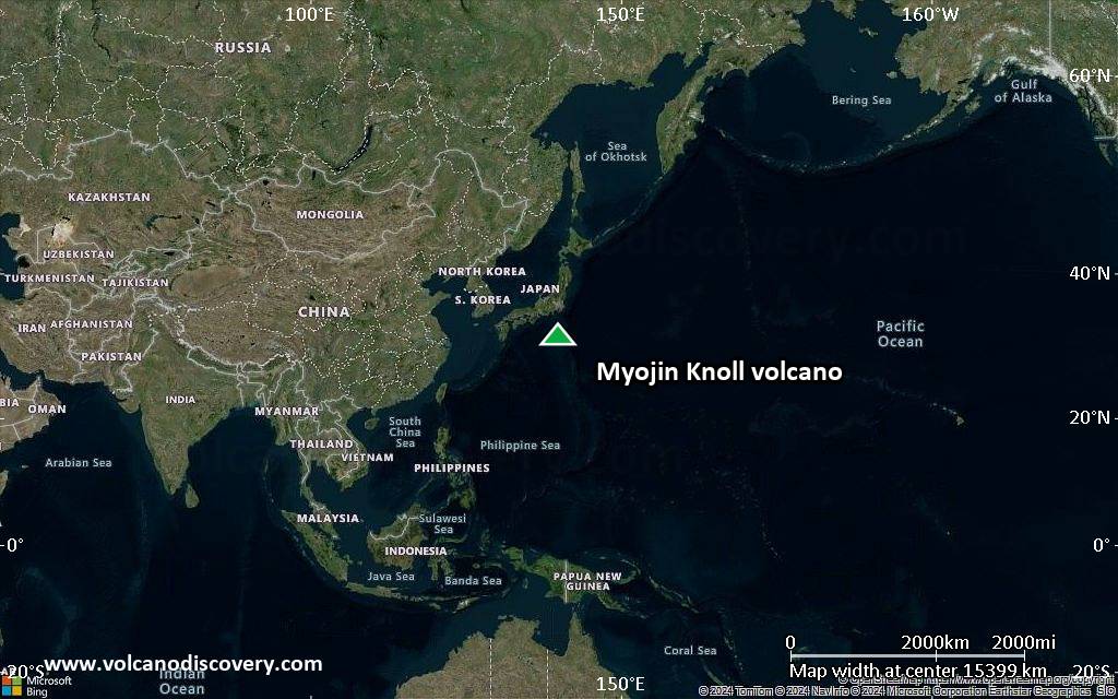
Satellite/aerial-type map of Myojin Knoll volcano (world scale)
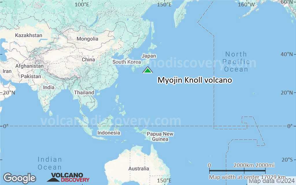
Terrain-type map of Myojin Knoll volcano (world scale)
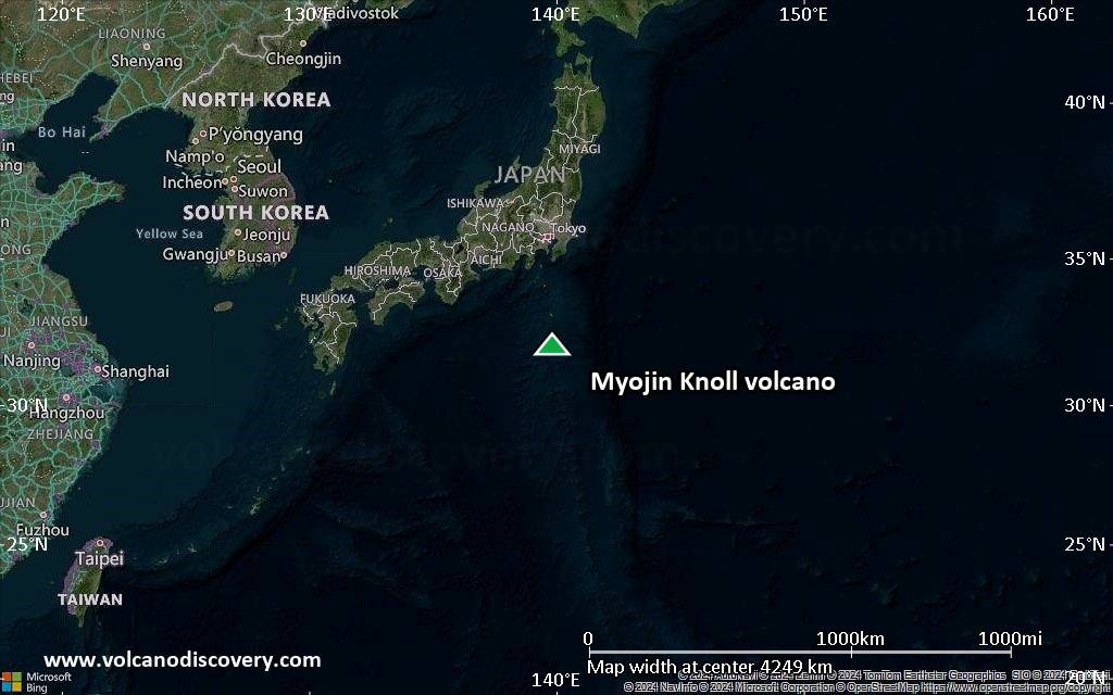
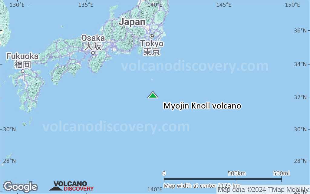
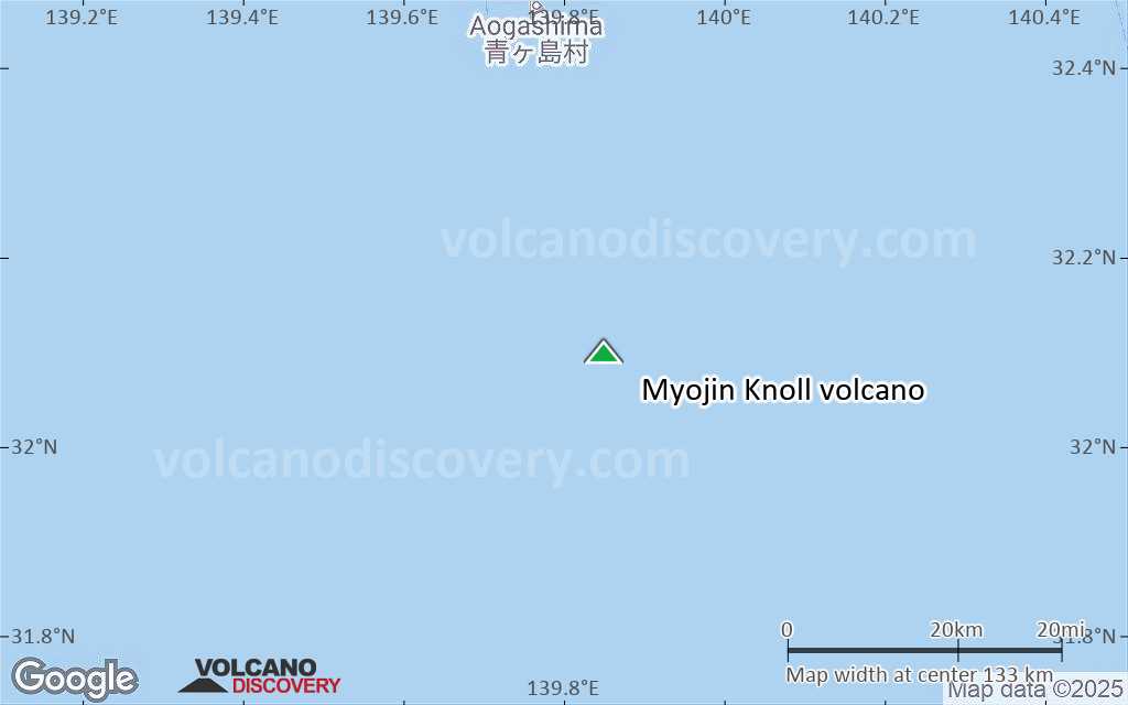
Satellite/aerial-type map of Myojin Knoll volcano (region scale large)

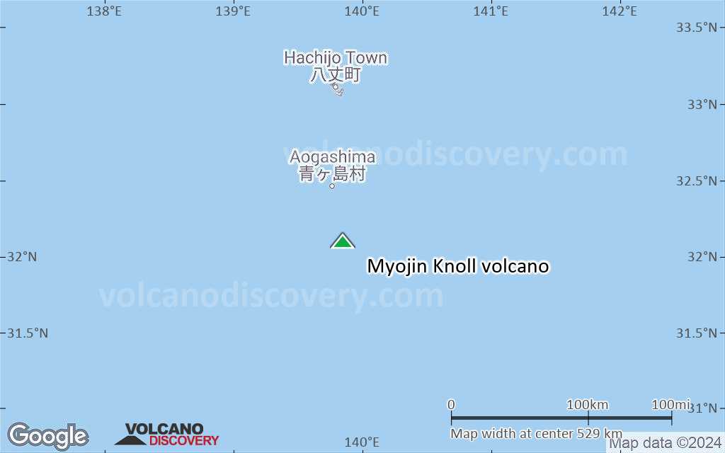
Terrain-type map of Myojin Knoll volcano (region scale large)

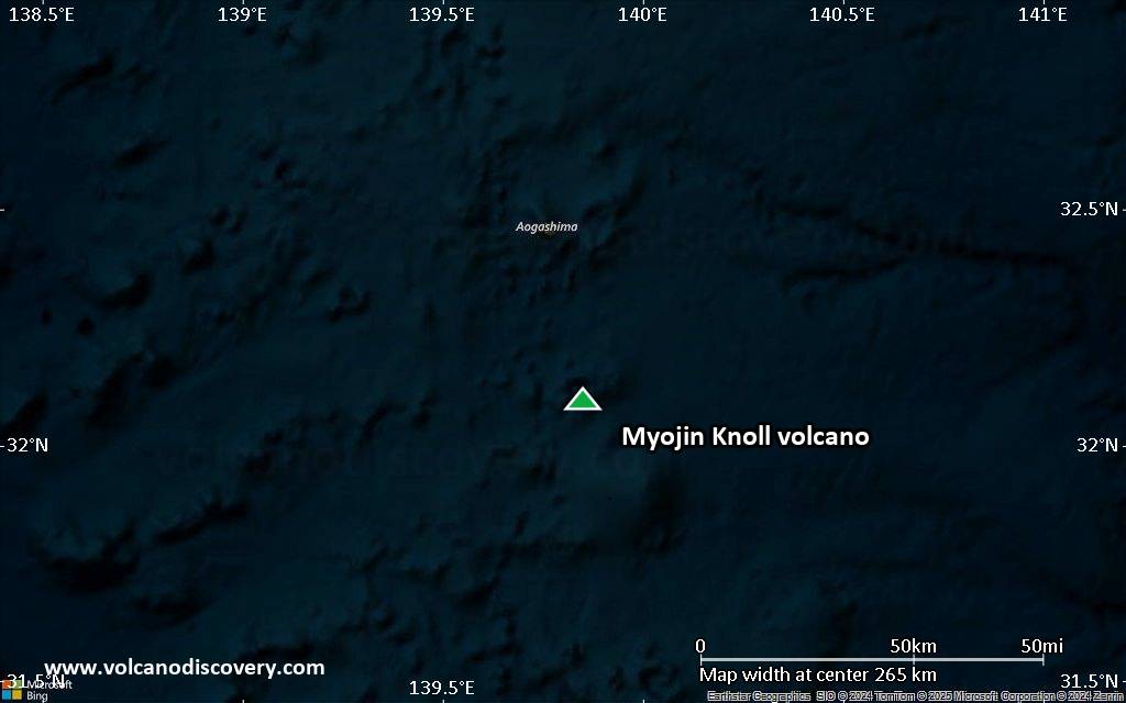
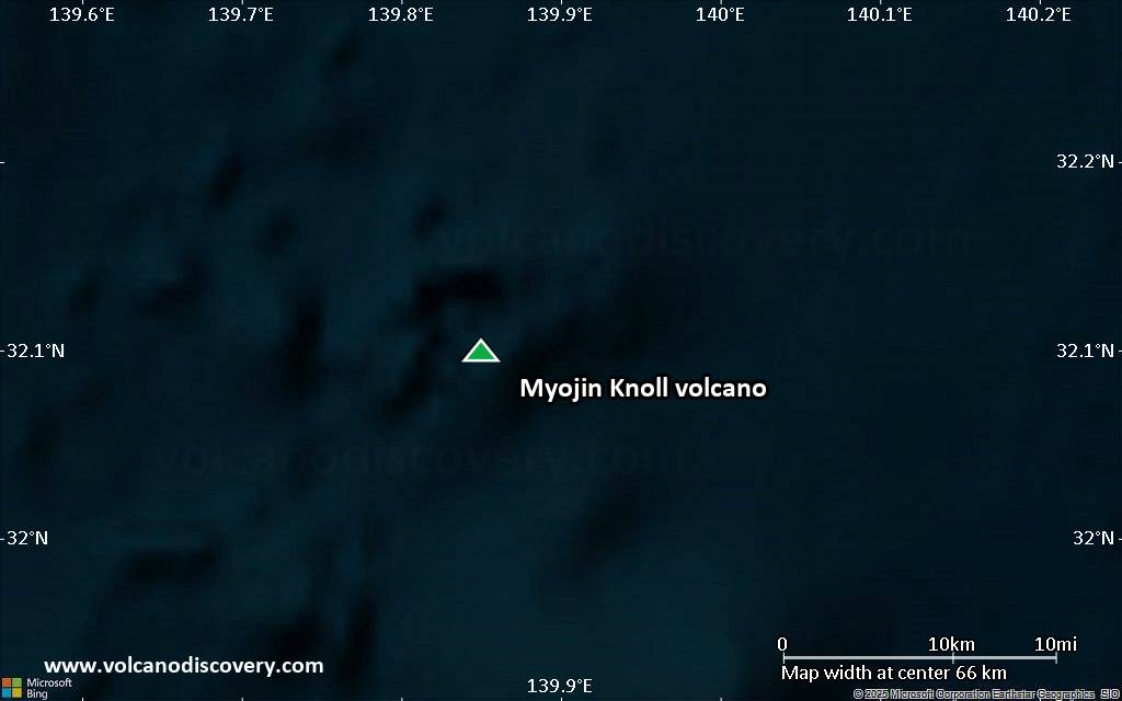
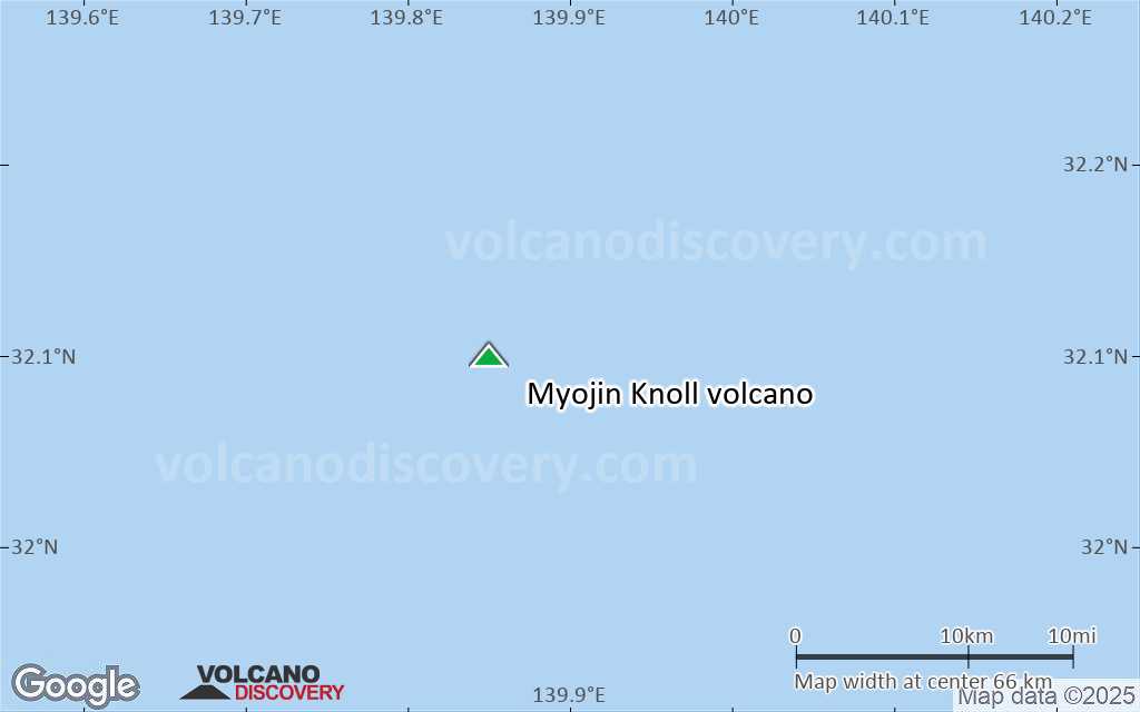
Satellite/aerial-type map of Myojin Knoll volcano (region scale medium)
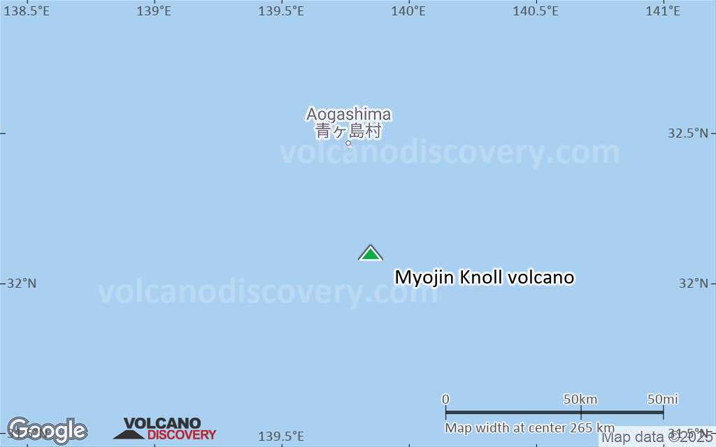
Terrain-type map of Myojin Knoll volcano (region scale medium)
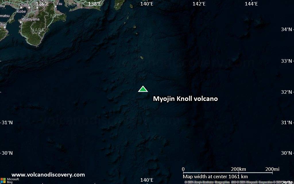
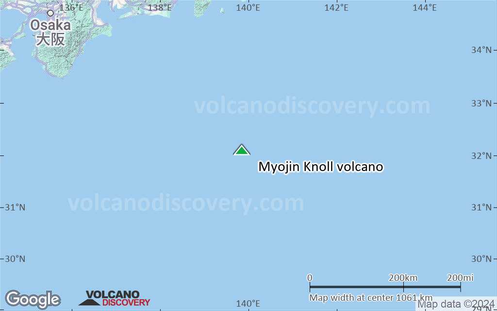
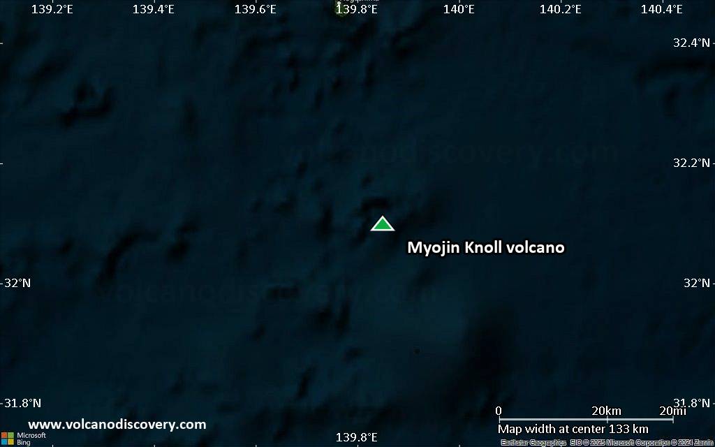
Satellite/aerial-type map of Myojin Knoll volcano (region scale small)
Terrain-type map of Myojin Knoll volcano (region scale small)

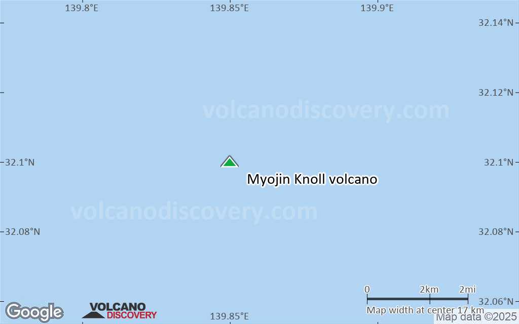
Satellite/aerial-type map of Myojin Knoll volcano (local scale large)
Terrain-type map of Myojin Knoll volcano (local scale large)
Satellite/aerial-type map of Myojin Knoll volcano (local scale medium)
Terrain-type map of Myojin Knoll volcano (local scale medium)
Satellite/aerial-type map of Myojin Knoll volcano (local scale small)
Terrain-type map of Myojin Knoll volcano (local scale small)
Satellite/aerial-type map of Myojin Knoll volcano (scale of 10s of km)
Terrain-type map of Myojin Knoll volcano (scale of 10s of km)

Satellite/aerial-type map of Myojin Knoll volcano (scale of 20-40 km)

Terrain-type map of Myojin Knoll volcano (scale of 20-40 km)

Satellite/aerial-type map of Myojin Knoll volcano (scale of approx. 10-20 km)
Terrain-type map of Myojin Knoll volcano (scale of approx. 10-20 km)
Satellite/aerial-type map of Myojin Knoll volcano (scale of 5-10 km)

Satellite/aerial-type map of Myojin Knoll volcano (scale of few kilometers)


