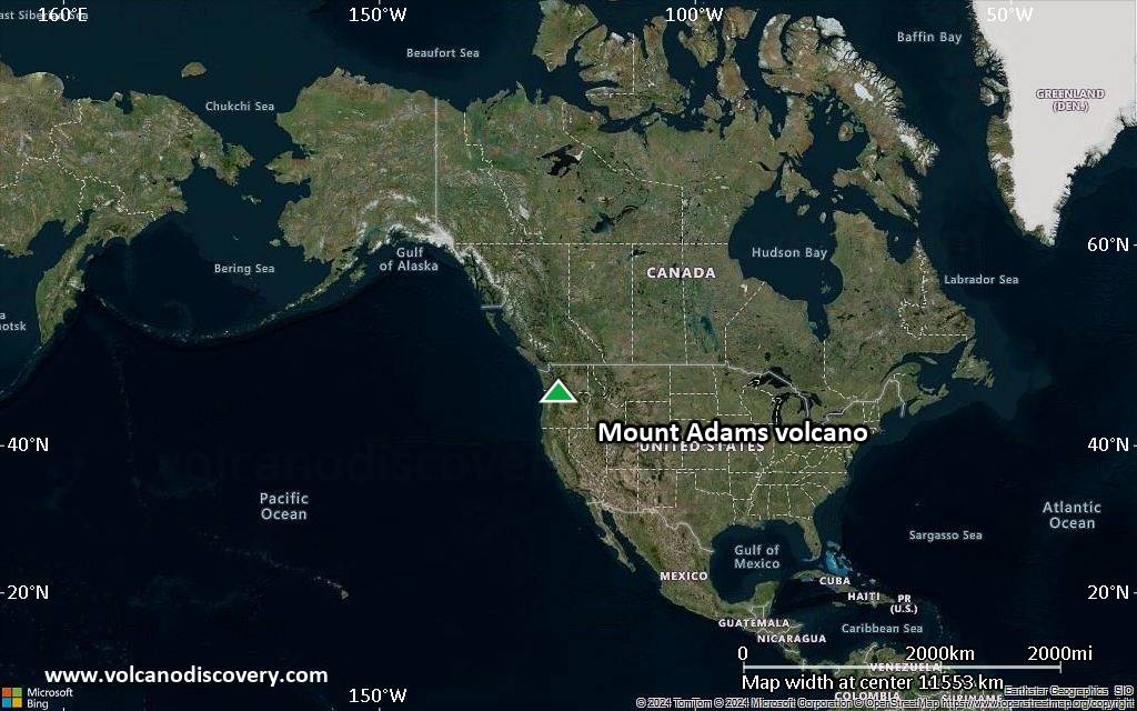
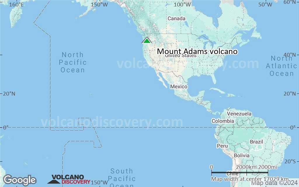
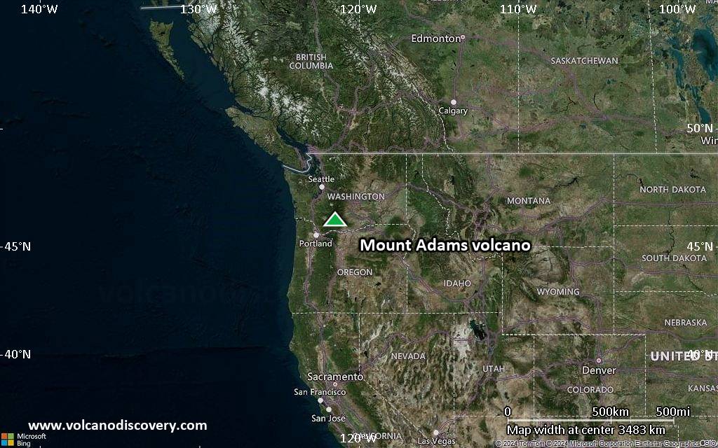
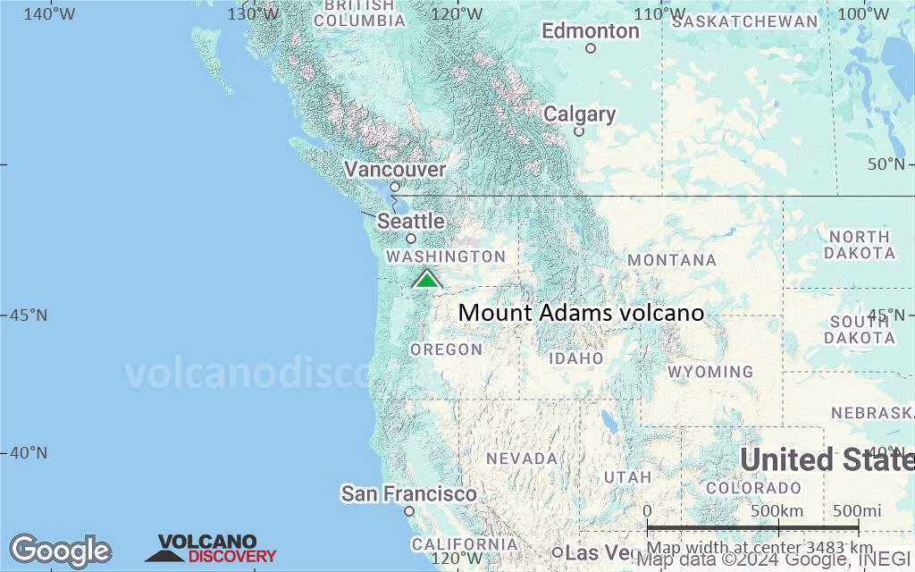
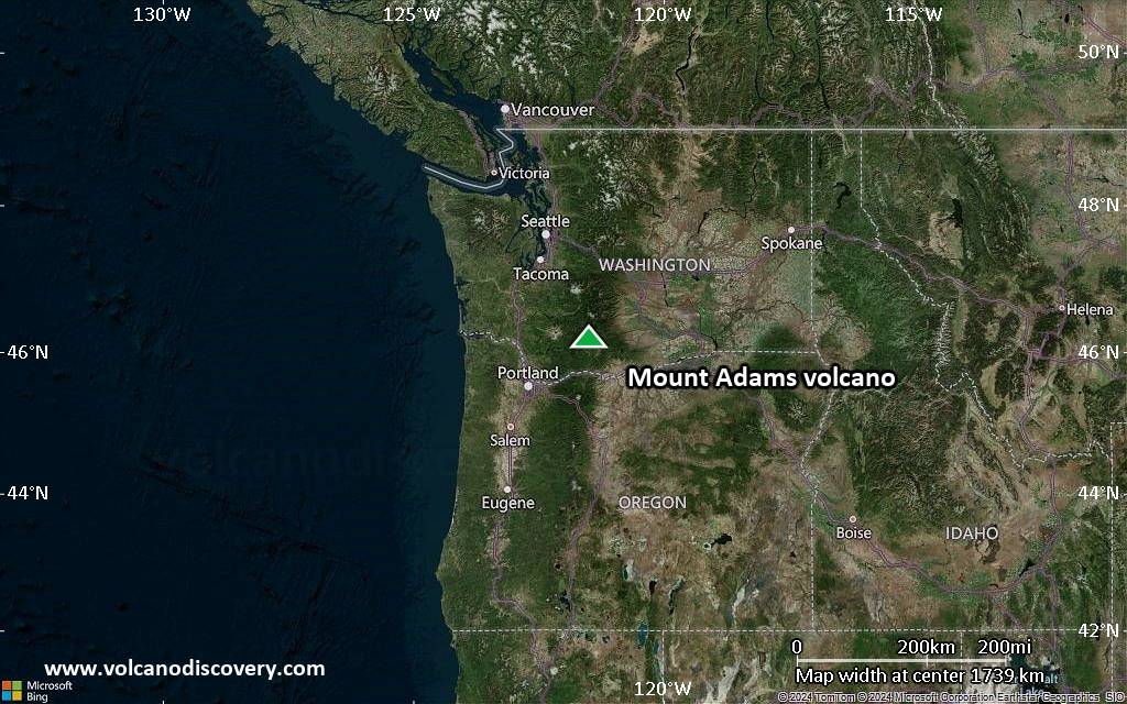
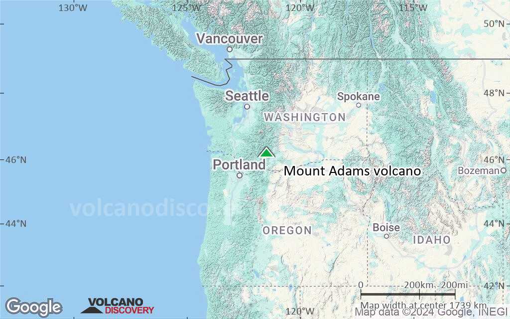
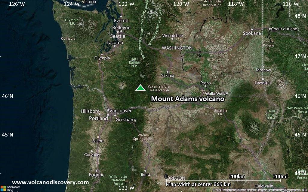
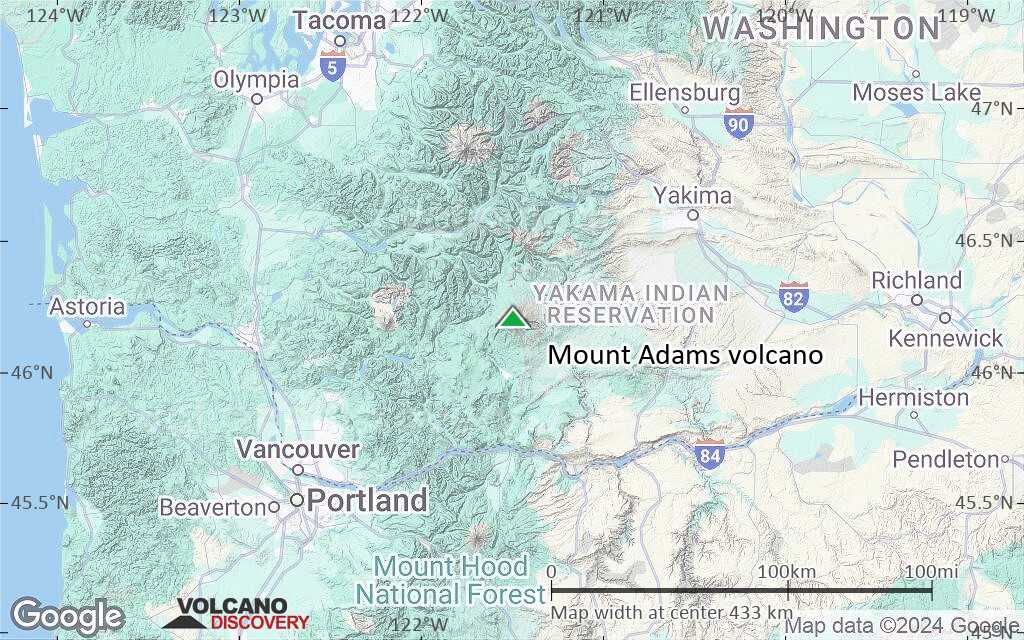
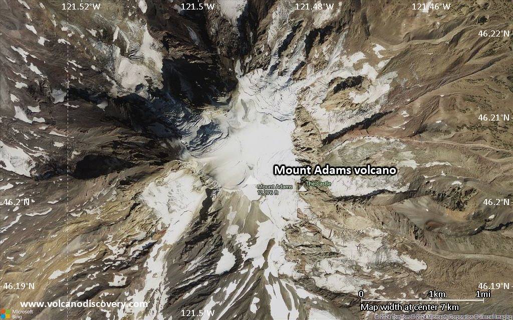
Mount Adams Volcano
Mt Adams stratovolcano 50 km east of Mt St Helens volcano is the by volume second largest volcano of the Cascades Range, after Mt. Shasta.
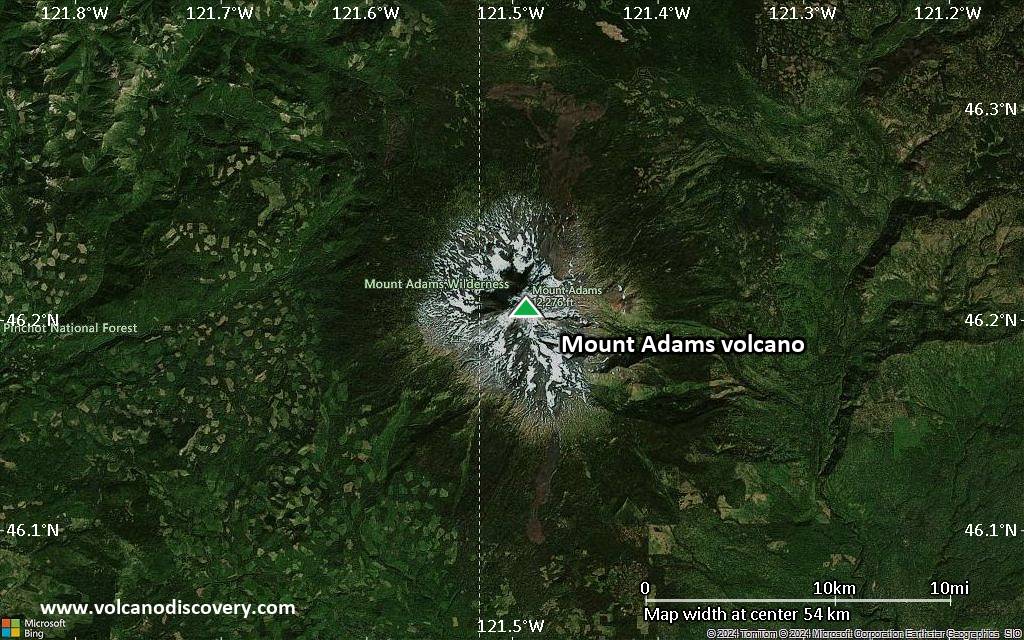
Mount Adams is the center of a 200 km3 volcanic field. The andesitic-dacitic volcano was built by several overlapping cones. It is elongated along a NNW-SSE line and has a flat summit with an ice cap and more than 60 flank vents.
The upper region of Mount Adams comprises 10 glaciers, barren moraines, and alpine meadows. Below 2000 m elevation, most of the volcano is covered by dense forest.
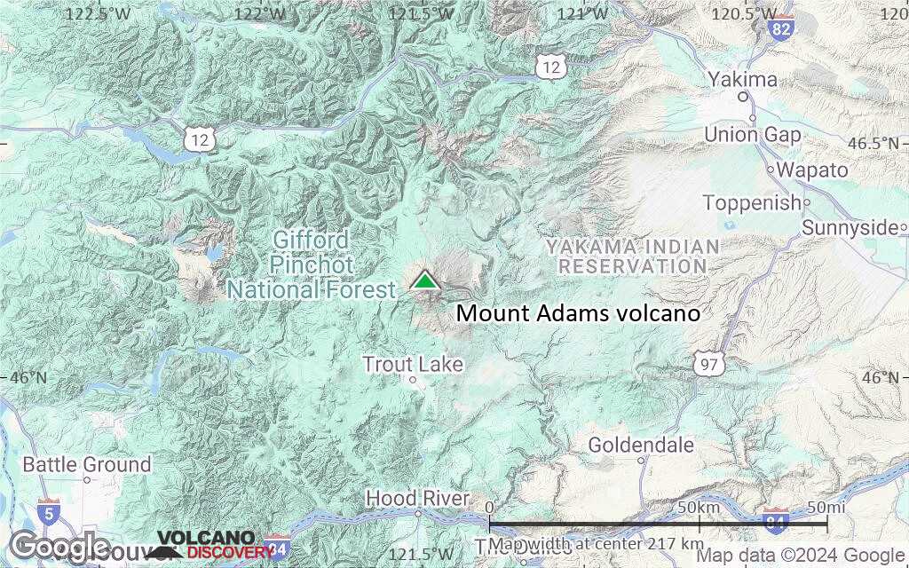
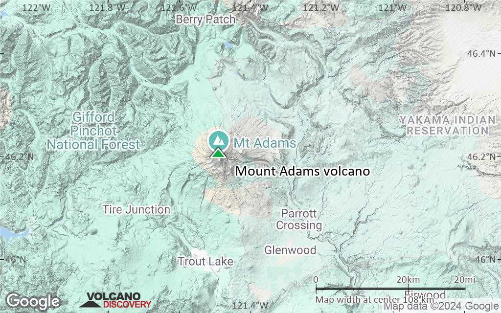
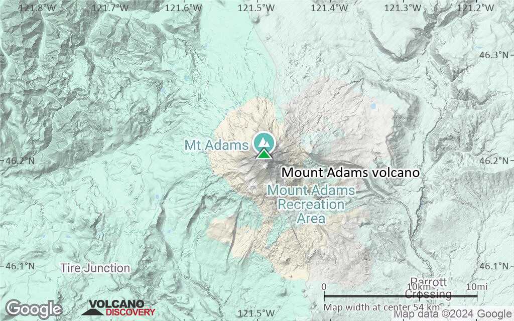
Mt Adams is popular among climbers and hikers. The only settlements near the volcano are Trout Lake and Glenwood villages, which are the base for excursions during the summer months. The nearest larger towns are Yakima (85 km NE), Goldendale (65 km SE), White Salmon-Hood River (55 km S), and Portland-Vancouver (100 km SW).
Mount Adams volcano eruptions: 950(?), 200(?), 300 BC (?), 400 BC (?), 550 BC ± 1000, 1850 BC, 2650 BC ± 300, 2950 BC ± 100, 3250 BC ± 300, 3550 BC (?), 3800 BC ± 1000, 4050 BC ± 500, 4550 BC (?), 5150 BC ± 500, 7050 BC ± 1000
Latest nearby earthquakes
| Date and Time | Mag / Depth | Distance / Location | |||
|---|---|---|---|---|---|
Background
Volcanism at Adams volcano began about 940 thousand years ago (ka), with 3 main cone-building stages occurring at about 500, 450 and 30 ka. Adams was active throughout the past 10,000 years: about 25 minor explosive eruptions from summit and flank vents can be traced by ash deposits and 6 lava flows from that period are found on the flanks between 2100 and 2600 m altitude. The largest Holocene lava flow traveled at least 10 km and occurred between about 7,000-4,000 years ago.The most recent eruption occurred about 1000 years ago (radio-carbon dated). It was a relatively small explosive eruption, recognizable as the uppermost ash layer in the area.
A study of postglacial activity suggests future eruptions may occur as strombolian, phreatomagmatic, or phreatic.
A larger hazard is posed by possible flank sector collapse, which would produce a catastrophic debris flow, similar to what happened at Mt. St. Helens in 1980.
An example of such a large debris-avalanche deposit is the Trout Lake Mudflow found high on the southwest side of the summit. It has been radiocarbon-dated to have occurred about 5100–5300 years ago. Trout Lake Mudflow was a single, massive avalanche that reached up to 60 km from the source.
A third hazard are lahars (mud flows) which would be generated by melted ice by an eruption.
Significant volcanic eruptions: Mount Adams volcano
| Date | Note | VEI | Deaths | Damage | |
|---|---|---|---|---|---|
| East flank? | 2 | ||||
| 2 | |||||
| 2 | |||||
| 2 | |||||
| 2 | |||||
| SSE flank (2100 m) | 1? | ||||
| 2 | |||||
| SSE flank (2600 m) | 1? | ||||
| 2 | |||||
| 2 | |||||
| NNE flank (2100-2250 m) | 1? | ||||
| Upper SW flank? | 2 | ||||
| NW flank (2200-2400 m) | 2 | ||||
| 2 | |||||
| 2 | |||||
Eruptions of Mount Adams volcano
A large rock avalanche with a volume between 1-5 million m3 of rock happened on the morning of 20 October on the uninhabited east flank of Mt Adams. It traveled 5 km and lasted several minutes.
The avalanche temporarily dammed Big Muddy Creek to form a temporary lake, but did not cause damage to structures or life, because there are no settlements in the area. ...more info
Mount Adams Volcano FAQ
+When was the last eruption of Mount Adams volcano?
The last confirmed eruption of Mount Adams occurred in 950 AD.
+When was the largest eruption of Mount Adams volcano?
The largest eruption known from the younger geological history of Mount Adams volcano occurred in 950 AD. It only has a VEI (Volcanic Explosivity Index) of , likely because it was a mainly effusive eruption generating lava flows but very little ash.
Latest satellite images

Mount Adams Volcano Maps