


Meager Volcano
Updated: Apr 26, 2025 02:25 GMT -
complex volcano
Canada, 50.63°N / -123.5°W 
Summit height: 2680 m / 8,793 ft
Current status: normal or dormant (1 out of 5)
Meager volcano is a young andesitic-to-rhyodacitic stratovolcano located 150 km north of Vancouver in SW British Columbia, Canada. It is the northernmost member of the Cascade Range volcano which extend into northern California, USA.
[smaller] [larger]
Meager volcano eruptions: 410 BC ± 200 years (radiocarbon dated)
Latest nearby earthquakes
| Date and Time | Mag / Depth | Distance / Location | |||
|---|---|---|---|---|---|
Background
Mount Meager is part of the Garibaldi volcanic belt, a subsection of the Cascades Range. Its summit consists of overlapping piles of andesitic lava flows and younger dacitic lava domes and flows. Older basalts underlying the uppermost 22 km of the Elaho valley originated at the 1375 m level in the South Fork Meager River.The most recent activity from the Meager volcanic complex about 2350 years ago produced Canada's largest known Holocene explosive eruption and an associated welded block-and-ash flow and a lava flow from a vent on the NE flank of Plinth Peak. Two clusters of hot springs occur within the complex, which has been investigated for potential geothermal power.
---
Source: GVP
Significant volcanic eruptions: Meager volcano
No historic eruptions are known from Meager volcano, but at least one eruption around 410 BC can be inferred from geological evidence.
The table below lists all known eruptions (date in bold face) of Meager volcano in historic times and during the past 10,000 years. Updates on the most recent volcanic activity of Meager can be found on the news page of Meager volcano.
| Date | Note | VEI | Deaths | Damage | |
|---|---|---|---|---|---|
| NE flank of Plinth Peak | 5? | ||||
Remark:
Our list of volcanic eruptions closely follows the database of eruptions of the Smithsonian's Global Volcanism Project (GVP), the internationally most recognized data source for volcanic eruptions, but also includes significant eruptive episodes or related volcano events. "Volcanic eruptions" are usually to be understood as sequences of individual eruptive episodes that can follow each other, or even overlap (if several vents are involved), and can last many years, decades or even longer. For example, the current activity of Stromboli volcano is understood as a single eruption that has been ongoing since 1934.
Sources: NOAA National Centers for Environmental Information (NCEI), Global Significant Volcanic Eruptions Database. doi:10.7289/V5TD9V7K | Global Volcanism Project / Smithsonian Institution
Eruptions of Meager volcano
410 BC +-200 Plinian eruption
The Pebble Creek Formation of Mt Meager volcano was the largest volcanic eruption in Canada after the end of the last ice age, and ranks as subplinian-plinian (VEI 5).
The eruption began with a Plinian phase producing an eruption column of at least 20 km height. Its deposit, pumice and ash fall, is known as the Bridge River Ash, and can be found as far as as Alberta, 530 km from the volcano. Pyroclastic flows deposited ignimbrites (welded ash flow tuffs).
The Plinian phase was followed by a less explosive phase producing block and ash flow deposits that accumulated mainly in the Lillooet River valley. The vent of the eruption is located at 1500 m elevation on northeastern shoulder of Plinth Peak, 1000 m above the floor of Lillooet Valley.
This eruption was similar in character to the 1980 eruption of Mount St. Helens ...more info
Meager Volcano FAQ
+When was the last eruption of Meager volcano?
The last confirmed eruption of Meager occurred around 410 BC.
+When was the largest eruption of Meager volcano?
The largest eruption known from the younger geological history of Meager volcano occurred around 410 BC. It only has a VEI (Volcanic Explosivity Index) of , likely because it was a mainly effusive eruption generating lava flows but very little ash.
Latest satellite images

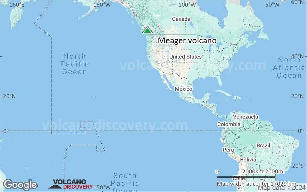
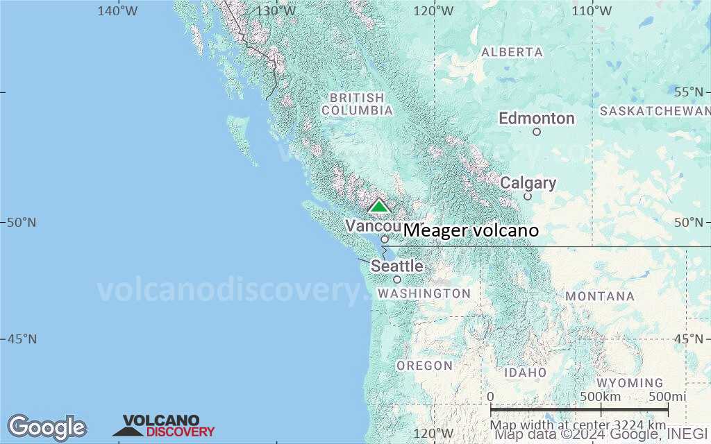
Meager Volcano Maps
Below is a selection of maps showing the location and surroundings of the volcano at various resolutions based on aerial-imagery / terrain maps. Feel free to use them for non-commercial purposes on your blog or website as long as you credit them with a link back to this page (click to copy it).

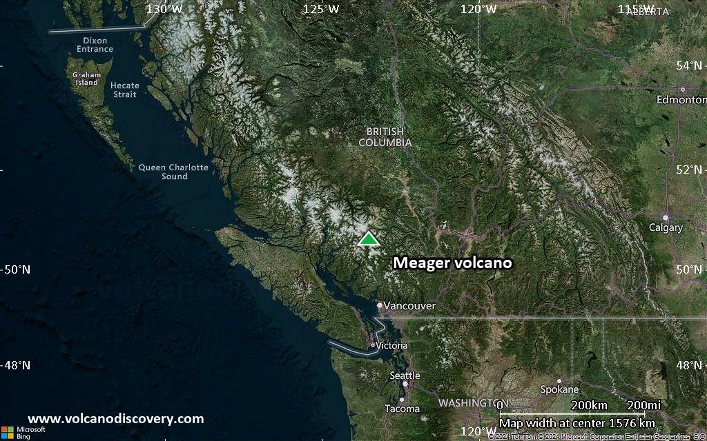
Satellite/aerial-type map of Meager volcano (world scale)
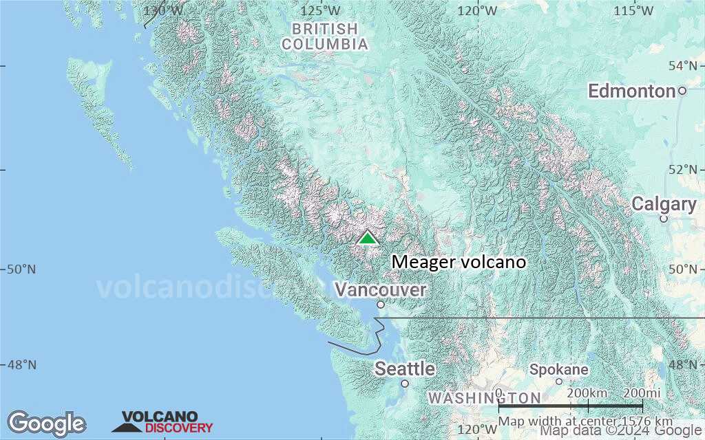
Terrain-type map of Meager volcano (world scale)
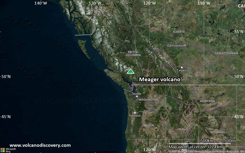
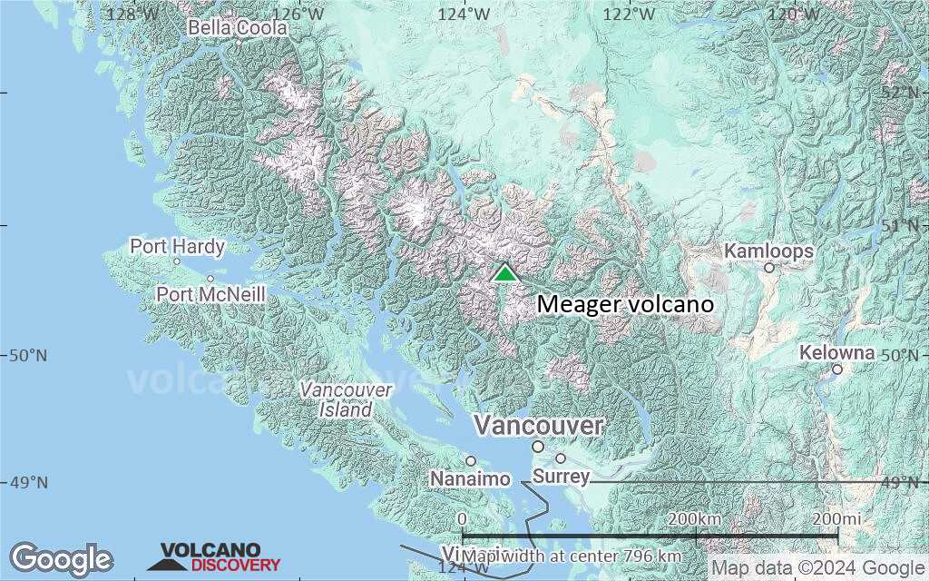
Satellite/aerial-type map of Meager volcano (region scale large)
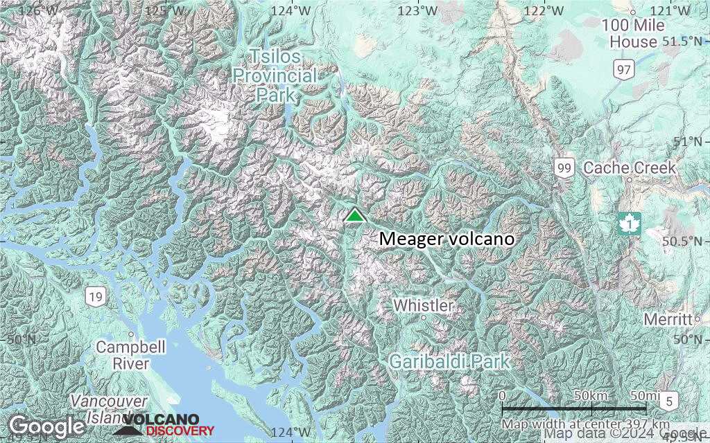
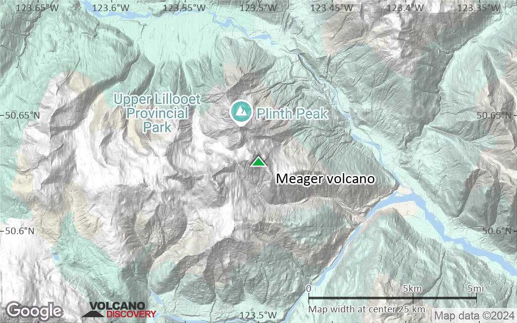
Terrain-type map of Meager volcano (region scale large)
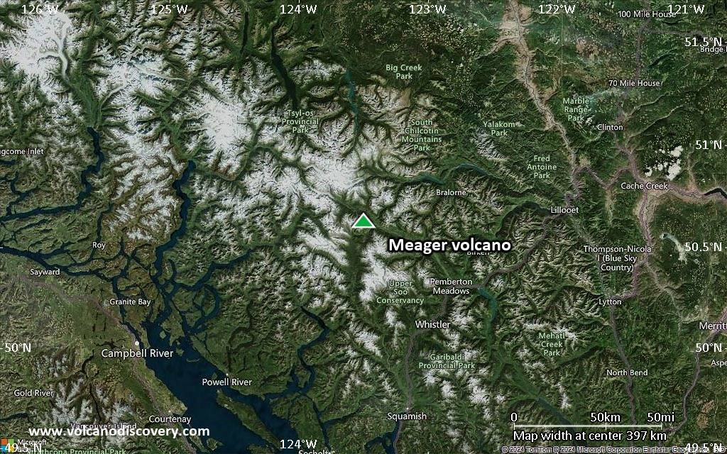
Satellite/aerial-type map of Meager volcano (region scale medium)
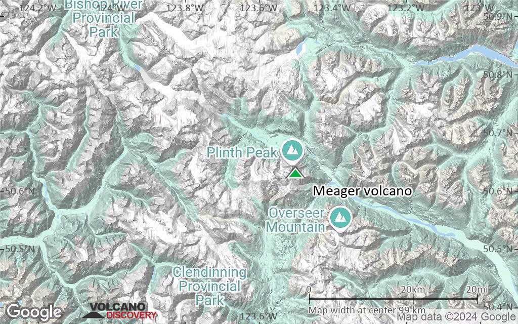
Terrain-type map of Meager volcano (region scale medium)

Satellite/aerial-type map of Meager volcano (region scale small)
Terrain-type map of Meager volcano (region scale small)
Satellite/aerial-type map of Meager volcano (local scale large)
Terrain-type map of Meager volcano (local scale large)

Satellite/aerial-type map of Meager volcano (local scale medium)

Terrain-type map of Meager volcano (local scale medium)

Satellite/aerial-type map of Meager volcano (local scale small)
Terrain-type map of Meager volcano (local scale small)
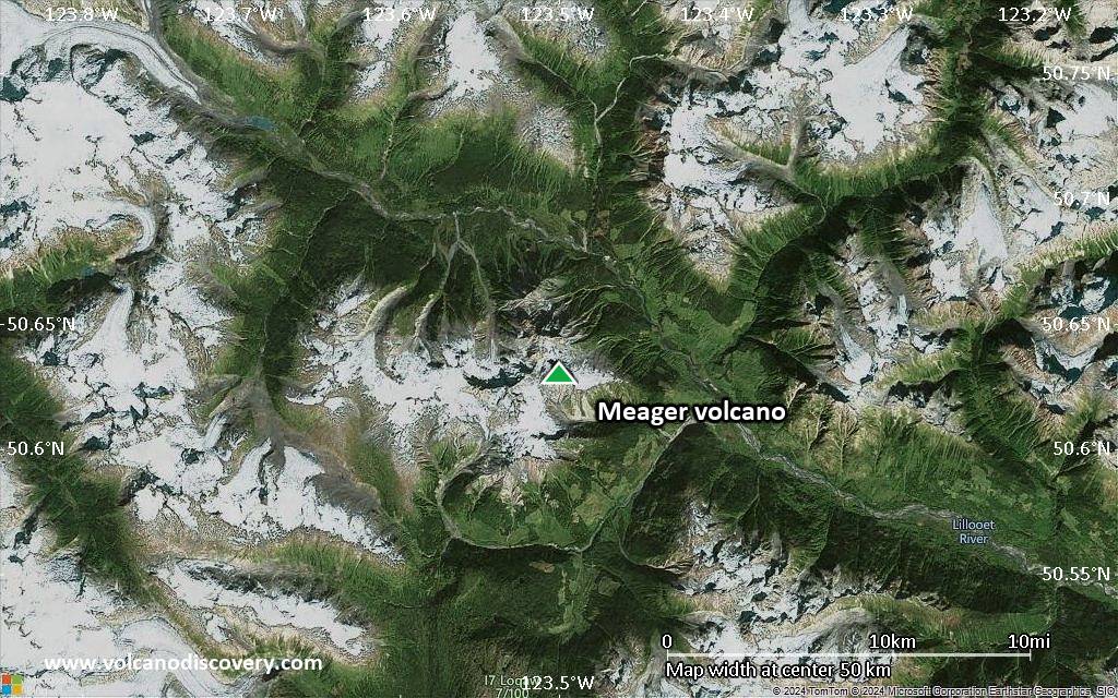
Satellite/aerial-type map of Meager volcano (scale of 10s of km)

Terrain-type map of Meager volcano (scale of 10s of km)
Satellite/aerial-type map of Meager volcano (scale of 20-40 km)
Terrain-type map of Meager volcano (scale of 20-40 km)

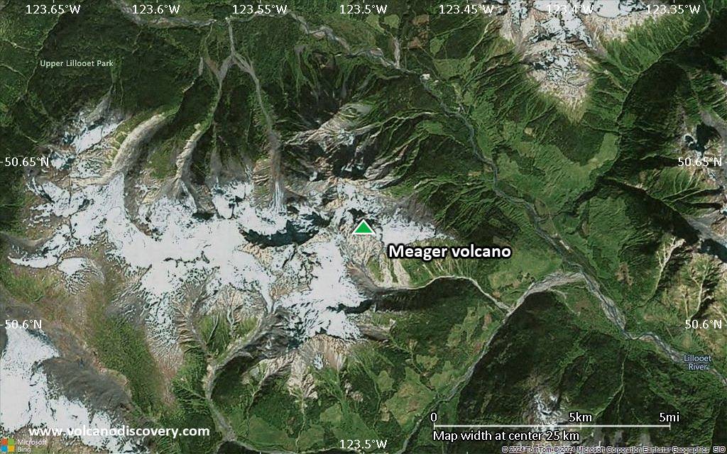
Satellite/aerial-type map of Meager volcano (scale of approx. 10-20 km)

Terrain-type map of Meager volcano (scale of approx. 10-20 km)
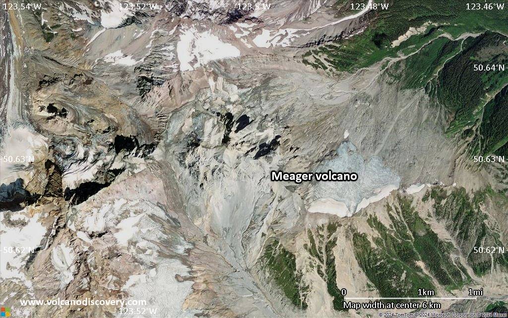
Satellite/aerial-type map of Meager volcano (scale of 5-10 km)

Satellite/aerial-type map of Meager volcano (scale of few kilometers)


