


Lunar Crater Volcano
Updated: Apr 26, 2025 21:41 GMT -
volcanic field
Nevada (Canada and USA (mainland)), 38.25°N / -116.05°W 
Summit height: 2255 m / 7,398 ft
Current status: (probably) extinct (0 out of 5)
The Lunar Crater volcanic field is a zone of vulcanism covering over 300 km2 at the southern end of the Pancake Range in the Great Basin Desert, Nevada. It contains numerous cinder cones and lava flows, fissures, and, most visibly, the 150 m deep Lunar Crater, a 1050 m wide and nearly circular maar (explosion crater) believed to have formed about 15,000 years ago.
Lunar Crater is one of Nevada's 6 National Natural Landmarks.
[smaller] [larger]
Lunar Crater volcano eruptions: around 15,000 years ago
Latest nearby earthquakes
Background
From Wood and Kienle, 1990, Volcanoes of North America: United States and Canada: Cambridge University Press, 354p., p.256-262, Contribution by John C. Dohrenwend (cited on CVO / USGS website):The Lunar Crater volcanic field, an apparent middle to late Pliocene and Pleistocene continuation of the Reveille Range volcanic field immediately to the southwest, is superposed across the 25-million-year-old Lunar Lake caldera, a crudely circular topographic basin on the crest of the Pancake Range. The field contains approximately 95 late Pliocene and Pleistocene vents and at least 35 associated lava flows contained within a northeast-trending zone, up to 10 kilometers wide and approximately 40 kilometers long, that extends obliquely across the flanks and crest of the range. Vents include cinder cones, elongate fissures, and at least two maars. Lunar Crater, a nearly circular maar, approximately 130 meters deep and 1,050 meters wide, is the most distinctive feature of the field. A second maar, approximately 550 meters wide and 65 meters deep, occurs at the south end of a northeast-trending chain of coalesced cinder cones. Several other northeast-trending alignments of closely spaced and coalesced cinder cones characterize the field. Lava flows range up to 1.9 kilometers wide and 6.1 kilometers long with thicknesses from less than 3 meters to as much as 25 meters. Progressive degradation of the cones and flows is very similar to that displayed by other basaltic volcanic fields in the southwest Basin and Range (including the Cima, Crater Flat, and Coso fields). Many of the flows in the northeast and central parts of the field are veneered with varying thicknesses of air-fall tephra. In other areas, all but the youngest flows are mantled with extensive deposits of aeolian silt and fine sand.
The Lunar Crater volcanic field is in the central Great Basin, approximately 105 kilometers east-northeast of Tonopah, Nevada, and 140 kilometers southwest of Ely, Nevada. U.S. Highway 6 runs through the center of the Lunar Crater field.
Latest satellite images


Lunar Crater Volcano Maps
Below is a selection of maps showing the location and surroundings of the volcano at various resolutions based on aerial-imagery / terrain maps. Feel free to use them for non-commercial purposes on your blog or website as long as you credit them with a link back to this page (click to copy it).

Satellite/aerial-type map of Lunar Crater volcano (world scale)

Terrain-type map of Lunar Crater volcano (world scale)

Satellite/aerial-type map of Lunar Crater volcano (region scale large)

Terrain-type map of Lunar Crater volcano (region scale large)

Satellite/aerial-type map of Lunar Crater volcano (region scale medium)

Terrain-type map of Lunar Crater volcano (region scale medium)
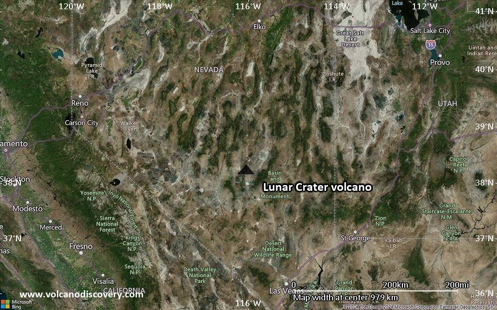
Satellite/aerial-type map of Lunar Crater volcano (region scale small)

Terrain-type map of Lunar Crater volcano (region scale small)

Satellite/aerial-type map of Lunar Crater volcano (local scale large)

Terrain-type map of Lunar Crater volcano (local scale large)
Satellite/aerial-type map of Lunar Crater volcano (local scale medium)

Terrain-type map of Lunar Crater volcano (local scale medium)

Satellite/aerial-type map of Lunar Crater volcano (local scale small)

Terrain-type map of Lunar Crater volcano (local scale small)

Satellite/aerial-type map of Lunar Crater volcano (scale of 10s of km)

Terrain-type map of Lunar Crater volcano (scale of 10s of km)

Satellite/aerial-type map of Lunar Crater volcano (scale of 20-40 km)

Terrain-type map of Lunar Crater volcano (scale of 20-40 km)

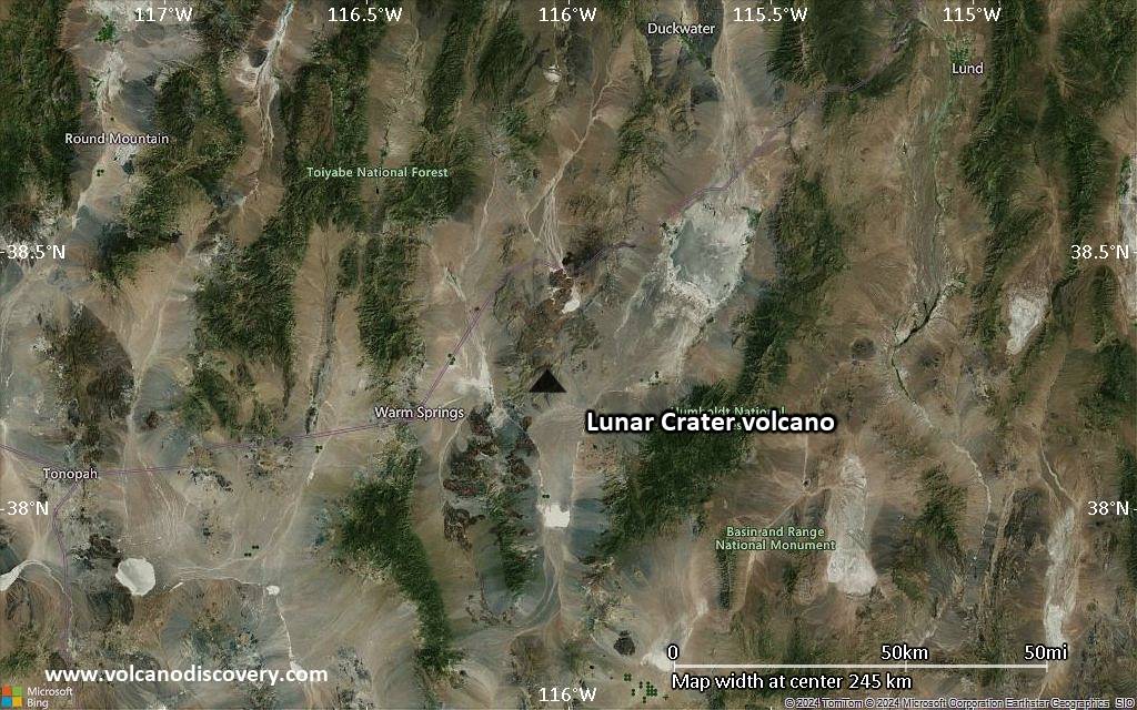
Satellite/aerial-type map of Lunar Crater volcano (scale of approx. 10-20 km)

Terrain-type map of Lunar Crater volcano (scale of approx. 10-20 km)

Satellite/aerial-type map of Lunar Crater volcano (scale of 5-10 km)

Satellite/aerial-type map of Lunar Crater volcano (scale of few kilometers)


