La Palma Volcano
Updated: Mar 25, 2025 18:37 GMT -
shield volcano
Canary Islands, 28.58°N / -17.84°W 

Summit height: 2426 m
Current status: normal or dormant (1 out of 5)
Last update: 3 Jun 2022

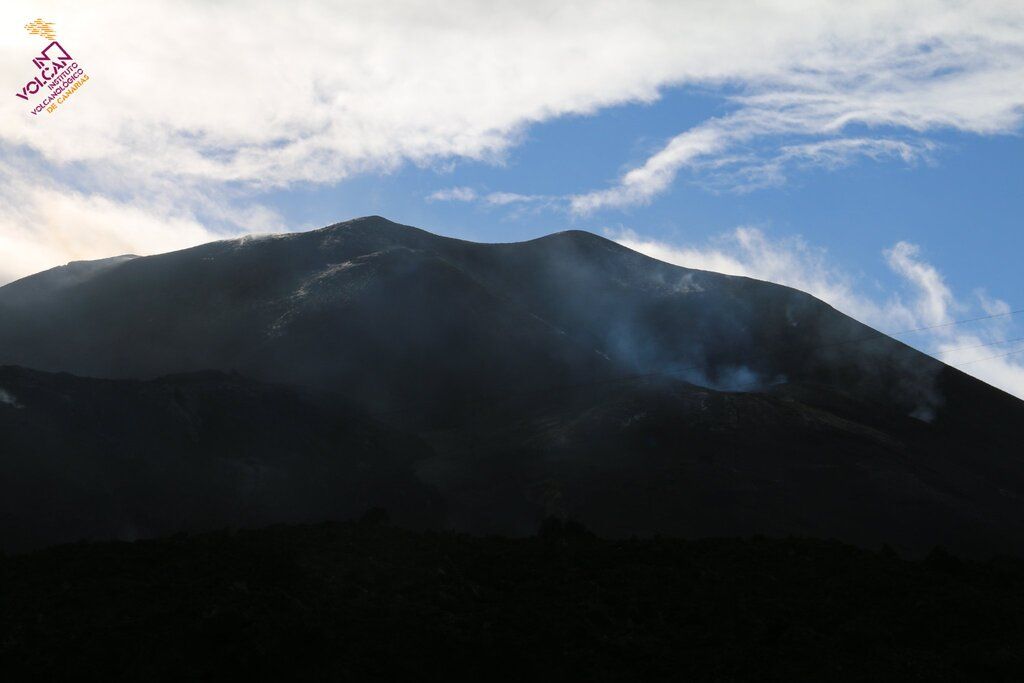
Eruption of La Palma's Cumbre Vieja in Sep 2021 (image: Tom Pfeiffer)
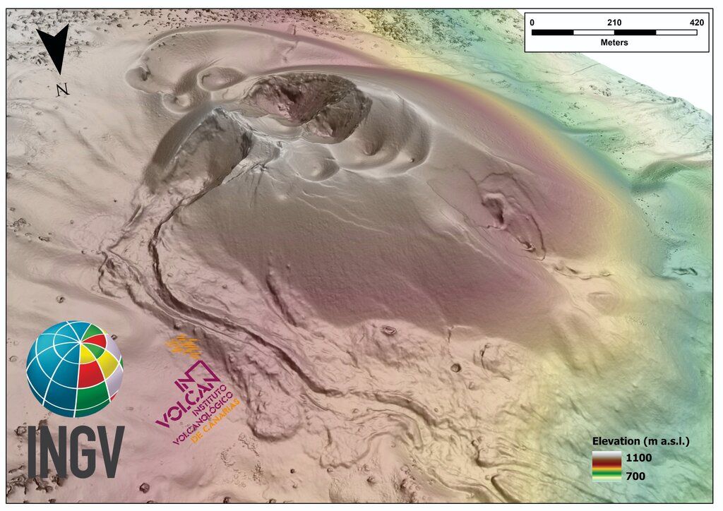
The 47-km-long wedge-shaped island of La Palma, the NW-most of the Canary Islands, is composed of two large volcanic centers.
[smaller] [larger]
La Palma volcano eruptions: 2021 (Sep - ongoing), 1971, 1949, 1712, 1677-1678, 1646, 1585
Latest nearby earthquakes
| Date and Time | Mag / Depth | Distance / Location | |||
|---|---|---|---|---|---|
| Mar 25, 08:38 am (Universal Time) | 1.2 10 km | 12 km (7.4 mi) to the NW | Info | ||
| Monday, March 24, 2025 GMT (3 quakes) | |||||
| Mar 24, 03:18 am (Universal Time) | 1.6 15 km | 1.8 km (1.1 mi) to the SW | Info | ||
| Mar 24, 02:52 am (Universal Time) | 2.0 15 km | 3.5 km (2.2 mi) to the SW | Info | ||
| Mar 24, 02:25 am (Universal Time) | 1.3 3 km | 6.1 km (3.8 mi) to the NW | Info | ||
| Sunday, March 23, 2025 GMT (1 quake) | |||||
| Mar 23, 07:28 am (Universal Time) | 1.9 22 km | 13 km (8.2 mi) to the W | Info | ||
| Friday, March 21, 2025 GMT (1 quake) | |||||
| Mar 21, 01:16 am (Universal Time) | 1.4 8 km | 1.6 km (1 mi) to the N | Info | ||
| Tuesday, March 18, 2025 GMT (1 quake) | |||||
| Mar 18, 07:17 am (Universal Time) | 1.2 8 km | 7.5 km (4.7 mi) to the NW | Info | ||
| Friday, March 14, 2025 GMT (5 quakes) | |||||
| Mar 14, 02:13 pm (Universal Time) | 2.1 12 km | 3.9 km (2.4 mi) to the SW | Info | ||
| Mar 14, 08:03 am (Universal Time) | 2.6 10 km | 3.5 km (2.2 mi) to the SW | Info | ||
Background
The older 2426-m-high northern one is cut by the massive steep-walled Caldera Taburiente, one of several massive collapse scarps produced by edifice failure to the SW. The younger 1949-m-high Cumbre Vieja, the southern volcano, is one of the most active in the Canaries. The elongated volcano dates back to about 125,000 years ago and is oriented N-S. Eruptions during the past 7000 years have originated from the abundant cinder cones and craters along the axis of Cumbre Vieja, producing fissure-fed lava flows that descend steeply to the sea. Historical eruptions at La Palma, recorded since the 15th century, have produced mild explosive activity and lava flows that damaged populated areas. The southern tip of the island is mantled by a broad lava field produced during the 1677-1678 eruption. Lava flows also reached the sea in 1585, 1646, 1712, 1949, and 1971.La Palma Volcano Photos
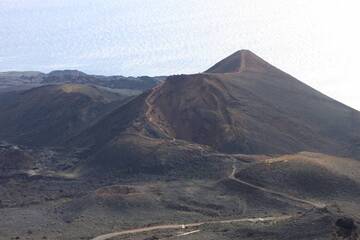
Teneguia volcano, view from San Antonio v., Fuencaliente, La Palma Isl., Canaries (Photo: WNomad)

Volcanic cone of Los volcanes de Aridane, next of town Todoque, La Palma Isl. (Photo: WNomad)

Lava field and volcanic cones near Los Llanos, La Palma Isl. (Photo: WNomad)

Crater of San Antonio volcano, Fuencaliente, La Palma Isl., Canaries (Photo: WNomad)
Significant volcanic eruptions: La Palma volcano
In the past 10,000 years, La Palma has had at least 14 confirmed volcanic eruptions, out of which 8 are documented by historical records, while the others can be inferred from geological evidence.
The table below lists all known eruptions (date in bold face) of La Palma volcano in historic times and during the past 10,000 years. Updates on the most recent volcanic activity of La Palma can be found on the news page of La Palma volcano.
| Date | Note | VEI | Deaths | Damage | |
|---|---|---|---|---|---|
| Tajogaite eruption Historical obs./docs. | 3 | ||||
| 2021 Sep 19 (eruption | Historical obs./docs. | 3 | 1 | very heavy | Info |
| Teneguia Historical obs./docs. | 2 | ||||
| 1971 Oct 28 (eruption | Historical obs./docs. | 2 | 1-50 (*) | light | Info |
| San Juan, Llano del Banco, Hoyo Negro Historical obs./docs. | 2? | ||||
| El Charco Historical obs./docs. | 2 | ||||
| N & S flanks of San Antonio (Fuentecaliente) Historical obs./docs. | 2 | ||||
| 1677 AD Nov 22 (eruption | Historical obs./docs. | 2 | 1 | Info | |
| South flank of San Martín (Tigalate) Historical obs./docs. | 2 | ||||
| Tahuya Historical obs./docs. | 2 | ||||
| Tacande (Montaña Quemada) Historical obs./docs. | 2 | ||||
| Nambroque II-Malforada | ? | ||||
| El Fraile | ? | ||||
| La Fajana (Volcán Fuego) | ? | ||||
| L'Amendrita, Birigoyo | ? | ||||
| ? | |||||
| ? | |||||
(*) Estimated numbers
Remark:
Our list of volcanic eruptions closely follows the database of eruptions of the Smithsonian's Global Volcanism Project (GVP), the internationally most recognized data source for volcanic eruptions, but also includes significant eruptive episodes or related volcano events. "Volcanic eruptions" are usually to be understood as sequences of individual eruptive episodes that can follow each other, or even overlap (if several vents are involved), and can last many years, decades or even longer. For example, the current activity of Stromboli volcano is understood as a single eruption that has been ongoing since 1934.
Sources: NOAA National Centers for Environmental Information (NCEI), Global Significant Volcanic Eruptions Database. doi:10.7289/V5TD9V7K | Global Volcanism Project / Smithsonian Institution
La Palma Volcano FAQ
+When was the last eruption of La Palma volcano?
The last confirmed eruption of La Palma occurred in 2021.
+How often does La Palma volcano erupt?
Since 1481 AD, La Palma volcano has had at least 8 historically documented eruptions. This means that it erupts on average every 68 years.
+How active is La Palma volcano at present?
La Palma volcano is occasionally active: Since 1900, it has had 3 eruptions, and been active during 3 years out of 126 as of now. This means, La Palma has been in eruption one in 42 years on average. The last eruption was in 2021 and ended 3 years ago.
+When was the largest eruption of La Palma volcano?
The largest eruption of La Palma volcano in historic times occurred in 2021. It ranks as a "vulcanian" eruption with a magnitude 3 on the VEI (Volcanic Explosivity Index) scale.
Latest satellite images

La Palma Volcano Tours
Canary Islands
Europe's Volcanic Outpost
8-day geo tour on La Palma and El Hierro
8 days / 7 nights - Easy to Moderate
Price 2490 €
Price 2490 €
12-19 Apr 2025
La Palma Volcano Maps
Below is a selection of maps showing the location and surroundings of the volcano at various resolutions based on aerial-imagery / terrain maps. Feel free to use them for non-commercial purposes on your blog or website as long as you credit them with a link back to this page (click to copy it).
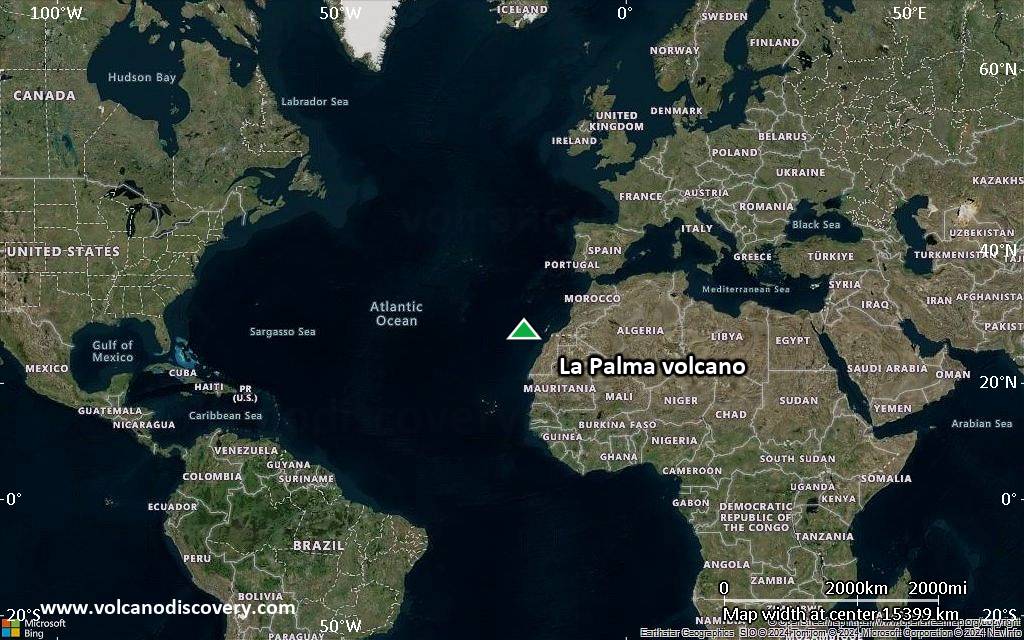
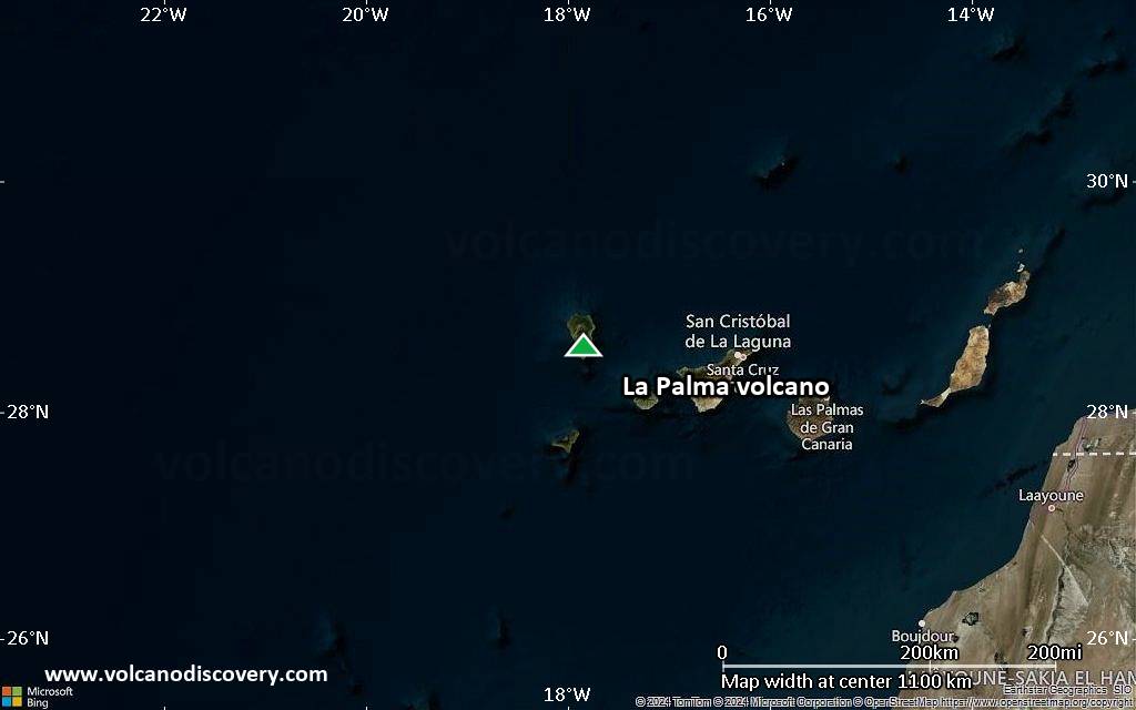
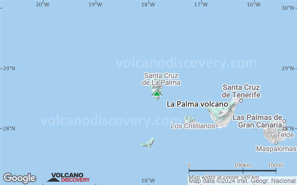
Satellite/aerial-type map of La Palma volcano (world scale)
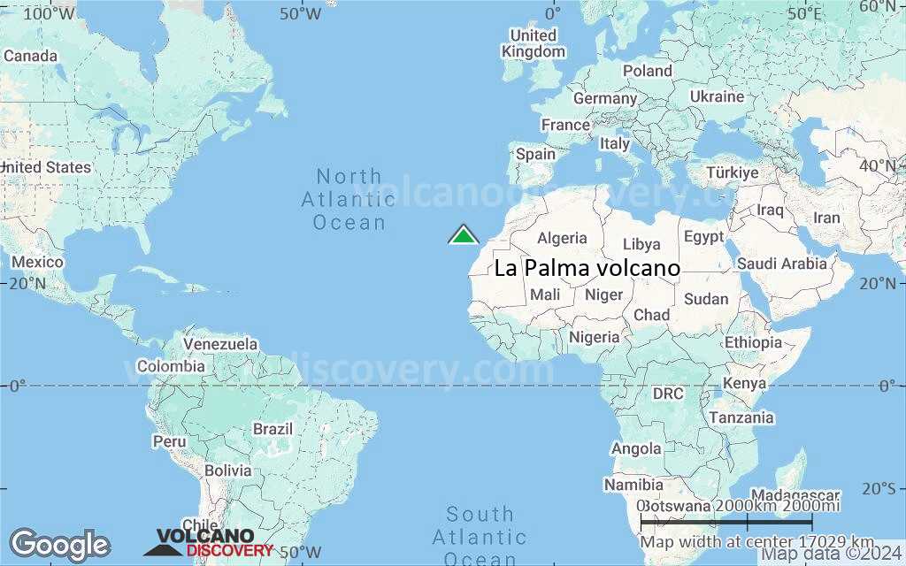
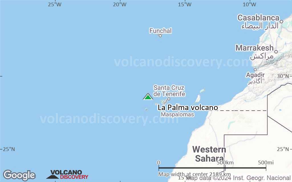
Terrain-type map of La Palma volcano (world scale)
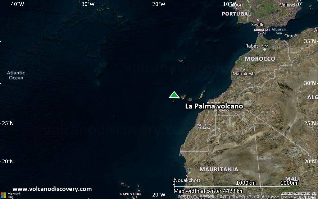
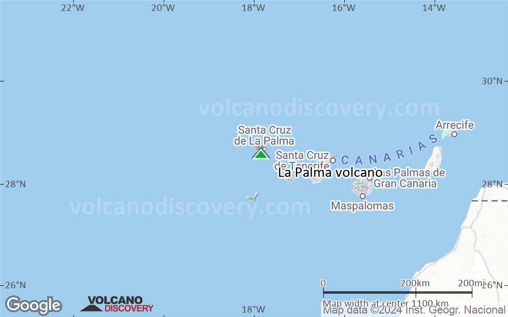
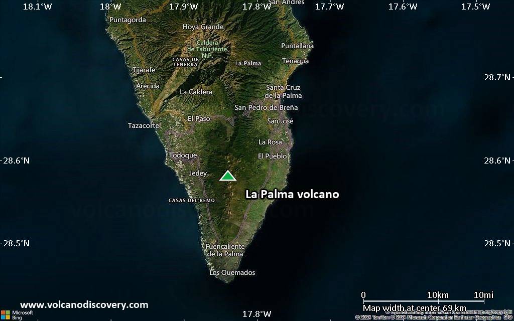
Satellite/aerial-type map of La Palma volcano (region scale large)

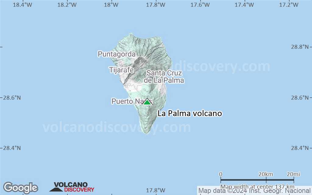
Terrain-type map of La Palma volcano (region scale large)
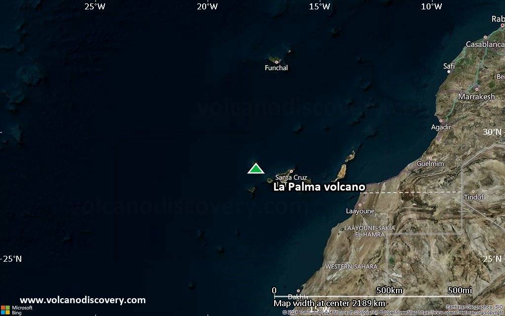
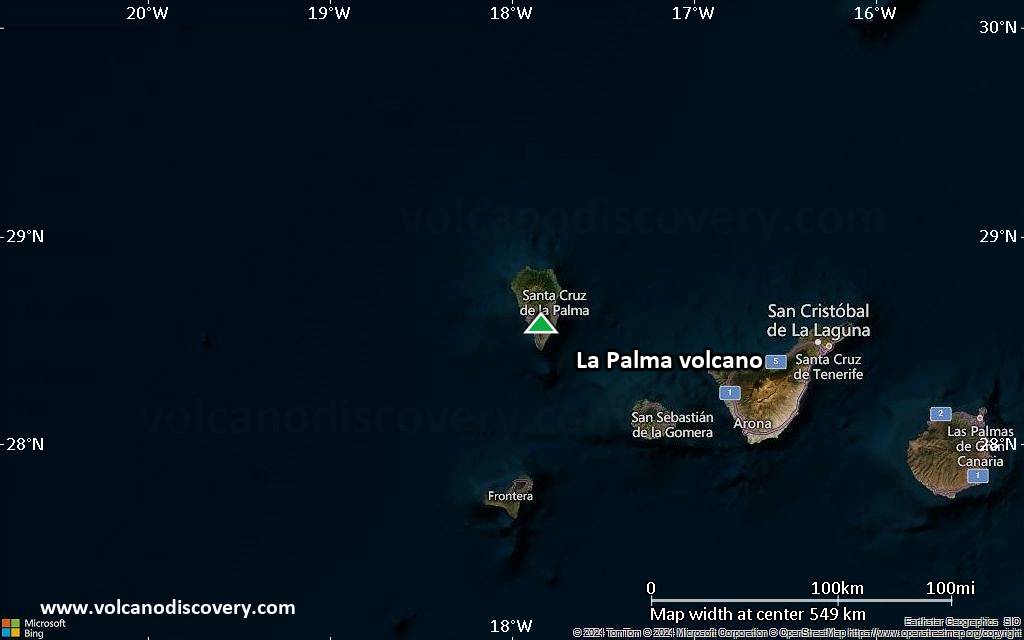
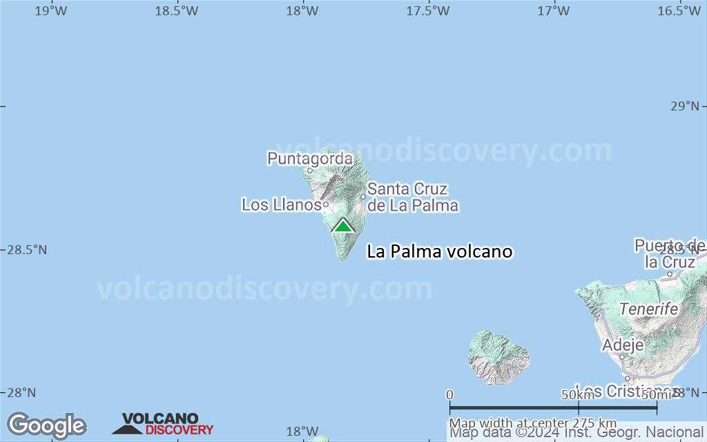
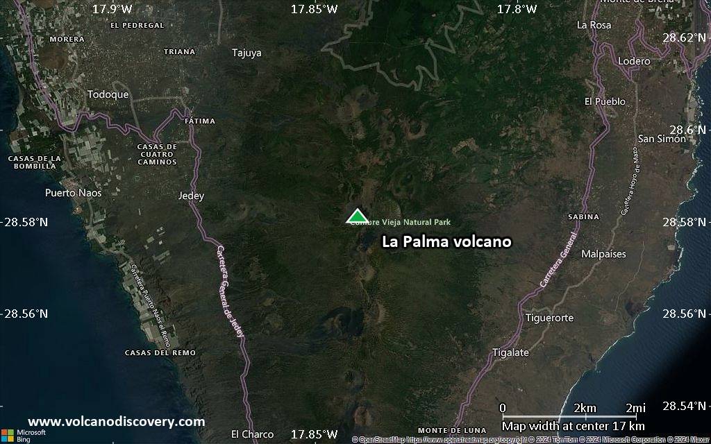
Satellite/aerial-type map of La Palma volcano (region scale medium)
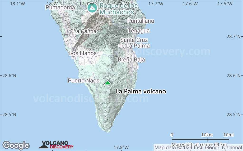
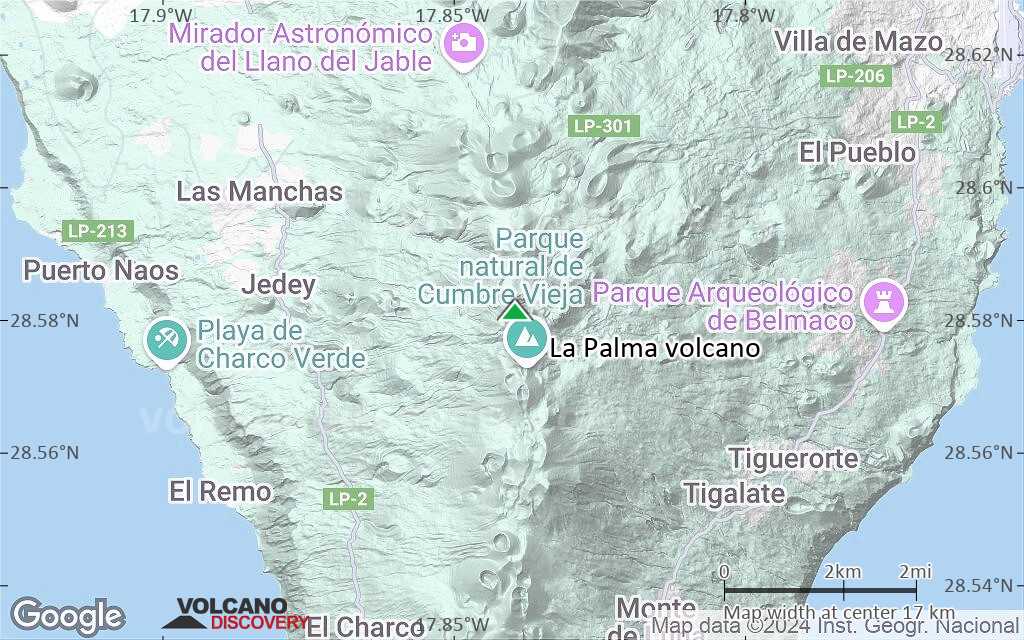
Terrain-type map of La Palma volcano (region scale medium)
Satellite/aerial-type map of La Palma volcano (region scale small)
Terrain-type map of La Palma volcano (region scale small)
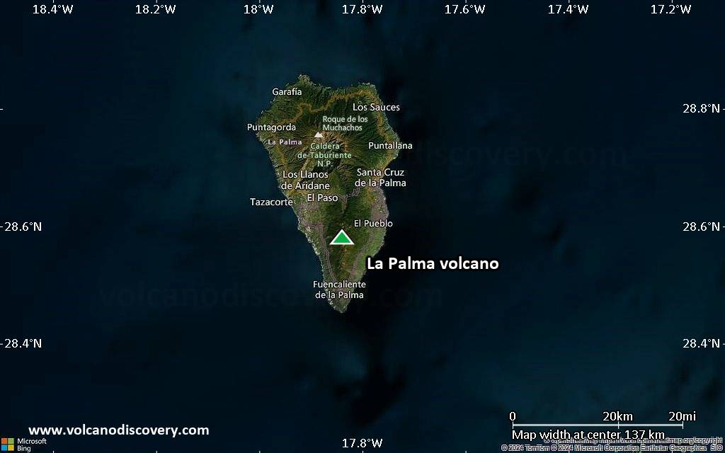
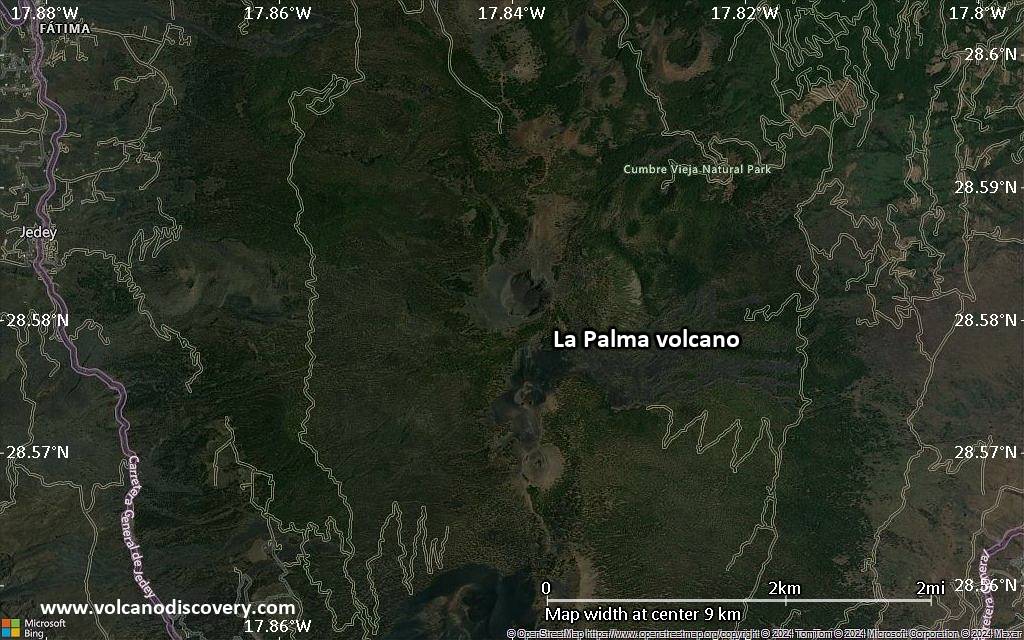
Satellite/aerial-type map of La Palma volcano (local scale large)
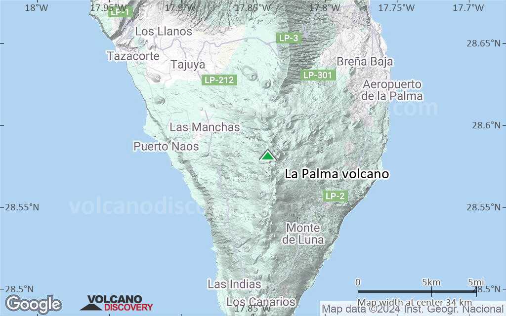
Terrain-type map of La Palma volcano (local scale large)
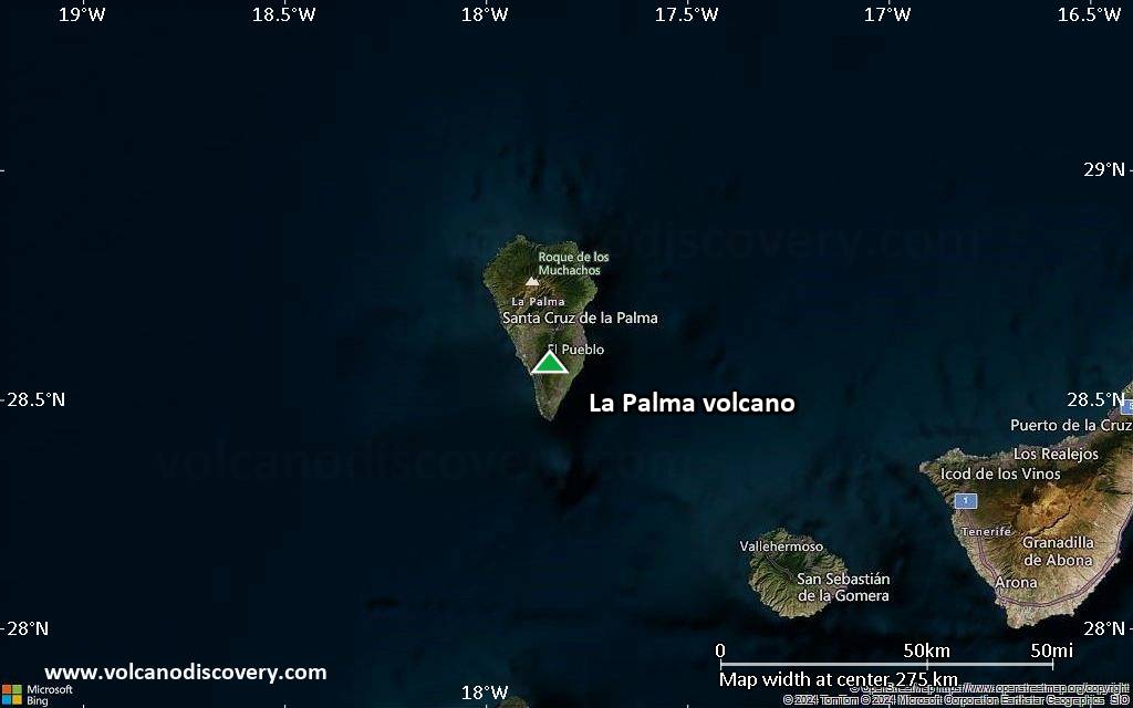
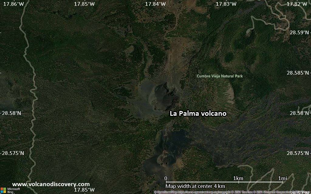
Satellite/aerial-type map of La Palma volcano (local scale medium)
Terrain-type map of La Palma volcano (local scale medium)
Satellite/aerial-type map of La Palma volcano (local scale small)
Terrain-type map of La Palma volcano (local scale small)
Satellite/aerial-type map of La Palma volcano (scale of 10s of km)
Terrain-type map of La Palma volcano (scale of 10s of km)

Satellite/aerial-type map of La Palma volcano (scale of 20-40 km)
Terrain-type map of La Palma volcano (scale of 20-40 km)
Satellite/aerial-type map of La Palma volcano (scale of approx. 10-20 km)
Terrain-type map of La Palma volcano (scale of approx. 10-20 km)
Satellite/aerial-type map of La Palma volcano (scale of 5-10 km)
Satellite/aerial-type map of La Palma volcano (scale of few kilometers)