Klabat Volcano
Updated: Mar 28, 2025 20:08 GMT -
stratovolcano
Sulawesi & Sangihe Islands (Indonesia), 1.43°N / 125.03°E 
Summit height: 1995 m / 6,545 ft
Current status: normal or dormant (1 out of 5)
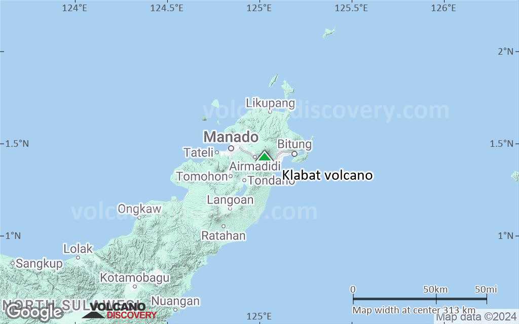
Klabat east of Manado city is an beautiful and isolated symmetrical stratovolcano rising almost 2000 m near the eastern tip of the northern arm of Sulawesi Island, forming the highest peak of Sulawesi. Klabat is probably still an active volcano and has active fumaroles on the summit, but there are no historic eruptions. A report of an eruption in 1683 probably was from nearby Tongkoko volcano (source: GVP).
Klabat is a popular destination for excursions by local students and climbers.
[smaller] [larger]
Klabat volcano eruptions: None known in historic times
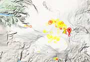
Latest nearby earthquakes
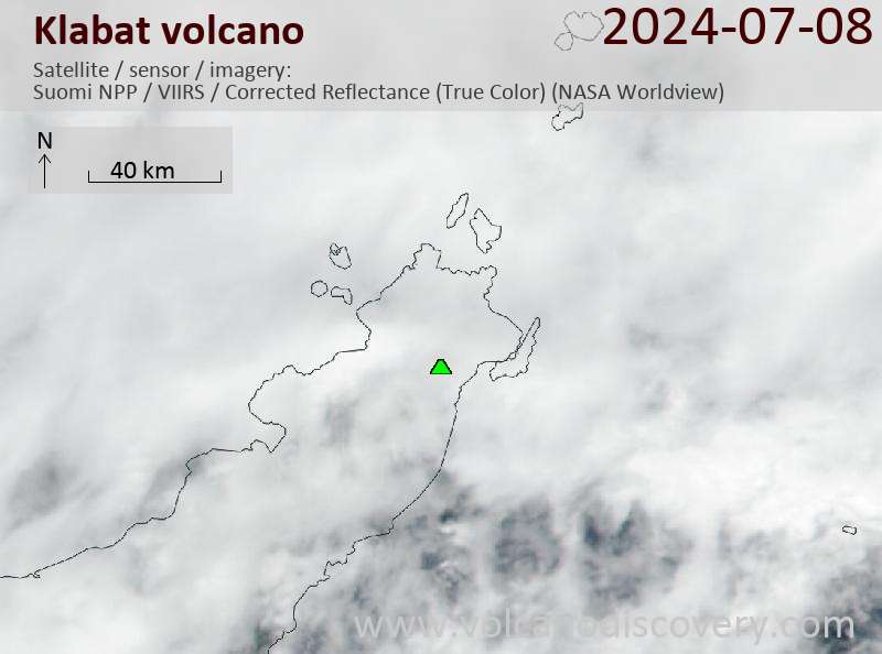
Latest satellite images
Klabat Volcano Maps
Below is a selection of maps showing the location and surroundings of the volcano at various resolutions based on aerial-imagery / terrain maps. Feel free to use them for non-commercial purposes on your blog or website as long as you credit them with a link back to this page (click to copy it).
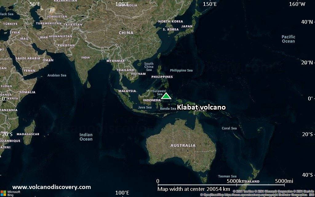
Satellite/aerial-type map of Klabat volcano (world scale)
Terrain-type map of Klabat volcano (world scale)
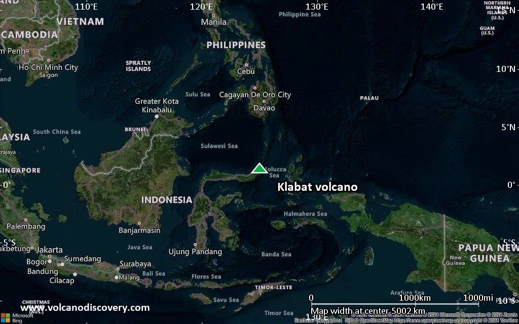
Satellite/aerial-type map of Klabat volcano (region scale large)
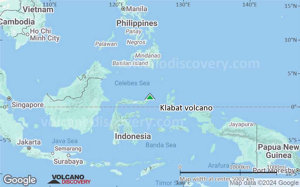
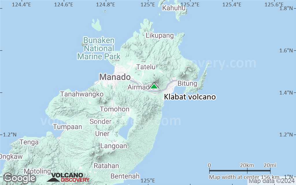
Terrain-type map of Klabat volcano (region scale large)

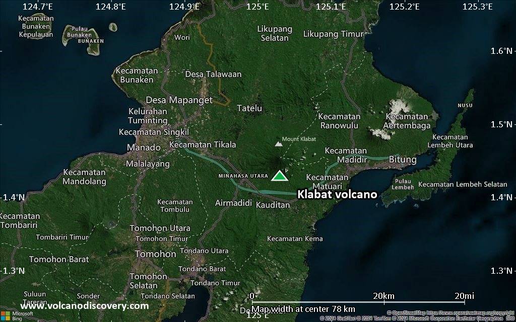
Satellite/aerial-type map of Klabat volcano (region scale medium)
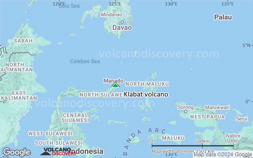
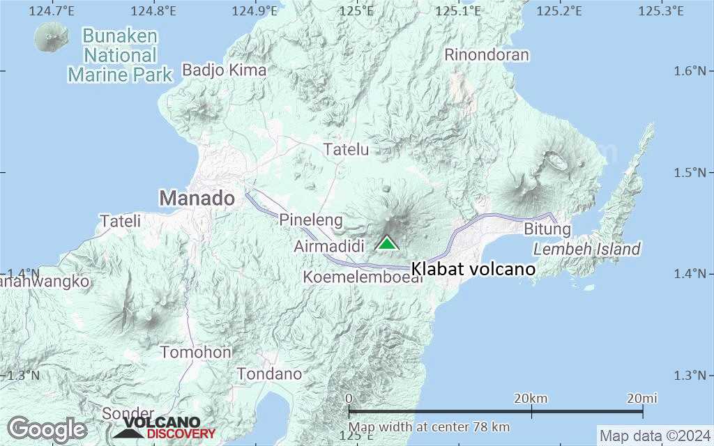
Terrain-type map of Klabat volcano (region scale medium)

Satellite/aerial-type map of Klabat volcano (region scale small)
Terrain-type map of Klabat volcano (region scale small)

Satellite/aerial-type map of Klabat volcano (local scale large)

Terrain-type map of Klabat volcano (local scale large)

Satellite/aerial-type map of Klabat volcano (local scale medium)
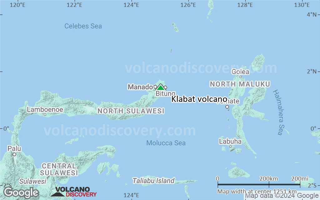
Terrain-type map of Klabat volcano (local scale medium)

Satellite/aerial-type map of Klabat volcano (local scale small)
Terrain-type map of Klabat volcano (local scale small)
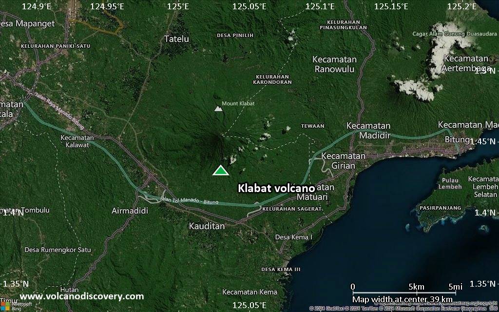
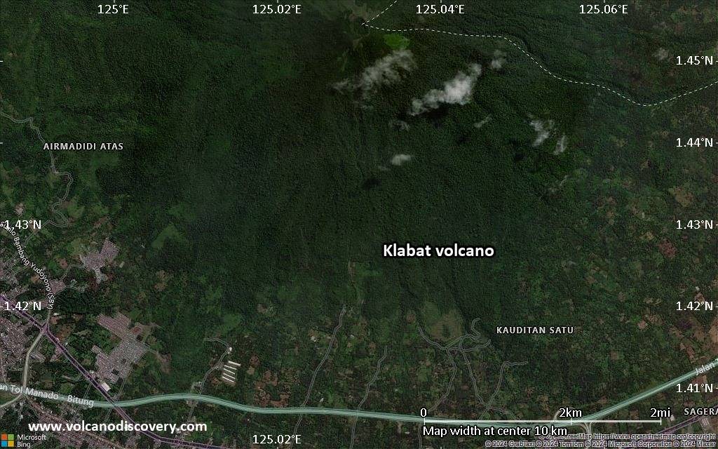
Satellite/aerial-type map of Klabat volcano (scale of 10s of km)
Terrain-type map of Klabat volcano (scale of 10s of km)
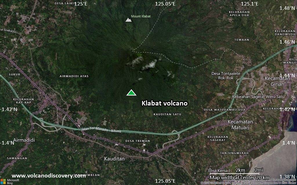
Satellite/aerial-type map of Klabat volcano (scale of 20-40 km)

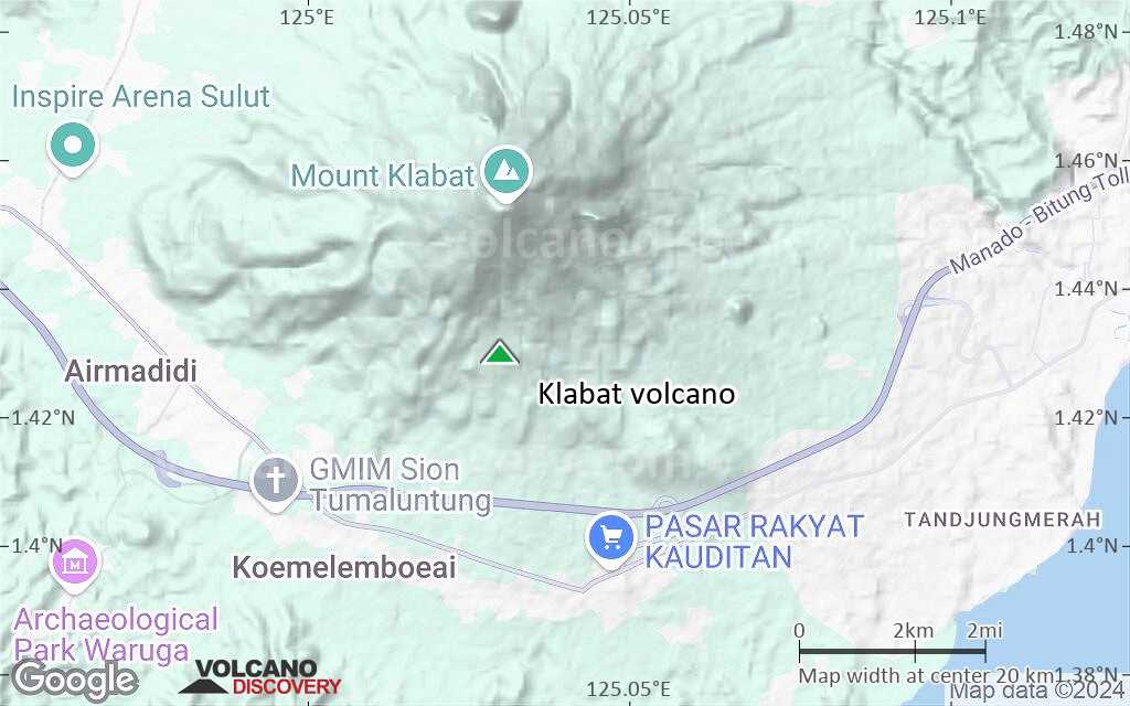
Terrain-type map of Klabat volcano (scale of 20-40 km)
Satellite/aerial-type map of Klabat volcano (scale of approx. 10-20 km)
Terrain-type map of Klabat volcano (scale of approx. 10-20 km)
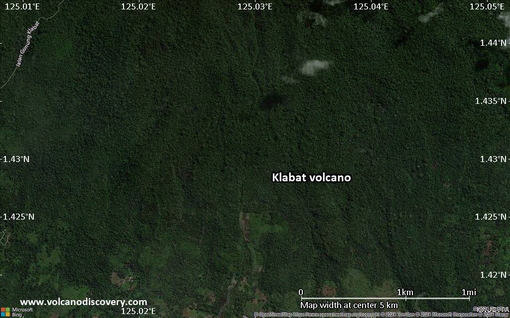
Satellite/aerial-type map of Klabat volcano (scale of 5-10 km)
Satellite/aerial-type map of Klabat volcano (scale of few kilometers)