| RSS | EN | DE | EL | ES | FR | IT | RU

Karadağ Volcano

Updated: Mar 28, 2025 18:56 GMT -
stratovolcano, lava domes
Turkey, 37.4°N / 33.13°E
Summit height: 2265 m
Current status: normal or dormant (1 out of 5)

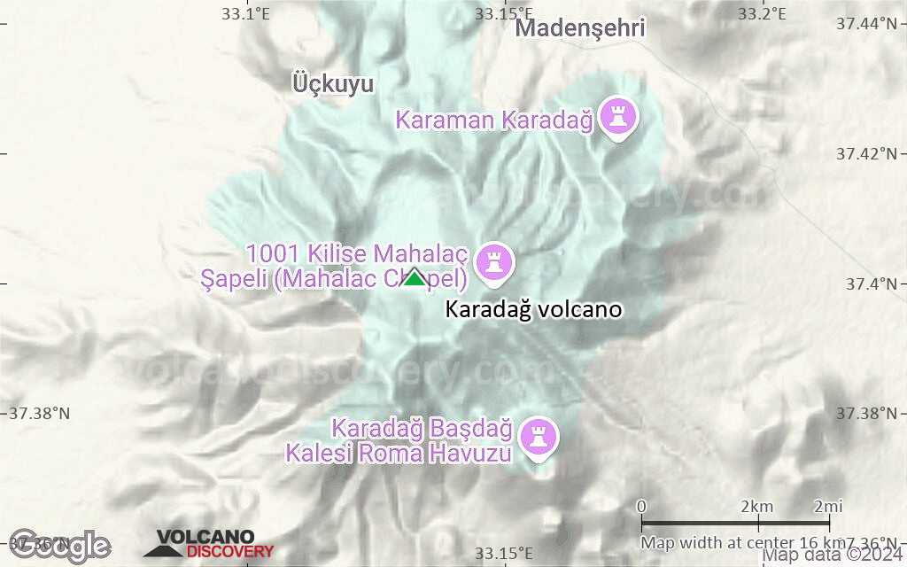
A huge volcanic complex near the village Madenşehri with a huge crater.

[smaller] [larger]
Typical eruption style: explosive
Karadağ volcano eruptions: none in historic times

Latest nearby earthquakes

Date and TimeMag / DepthDistance / Location

Background

The volcanic complex of Karacadag ("black mountain") belongs to the basaltic Karapinar volcanic area.

Latest satellite images

Karada%C4%9F satellite image sat1Karada%C4%9F satellite image sat2

Karadağ Volcano Maps

Below is a selection of maps showing the location and surroundings of the volcano at various resolutions based on aerial-imagery / terrain maps. Feel free to use them for non-commercial purposes on your blog or website as long as you credit them with a link back to this page (click to copy it).
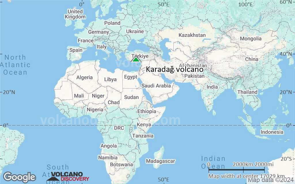
Satellite/aerial-type map of Karadağ volcano (world scale)
Terrain-type map of Karadağ volcano (world scale)
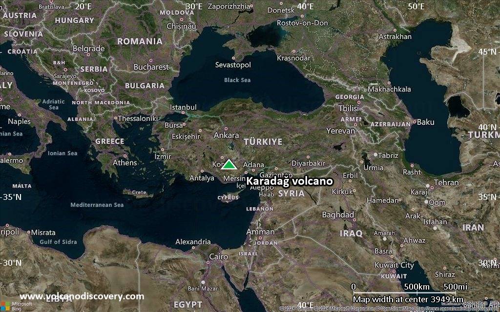
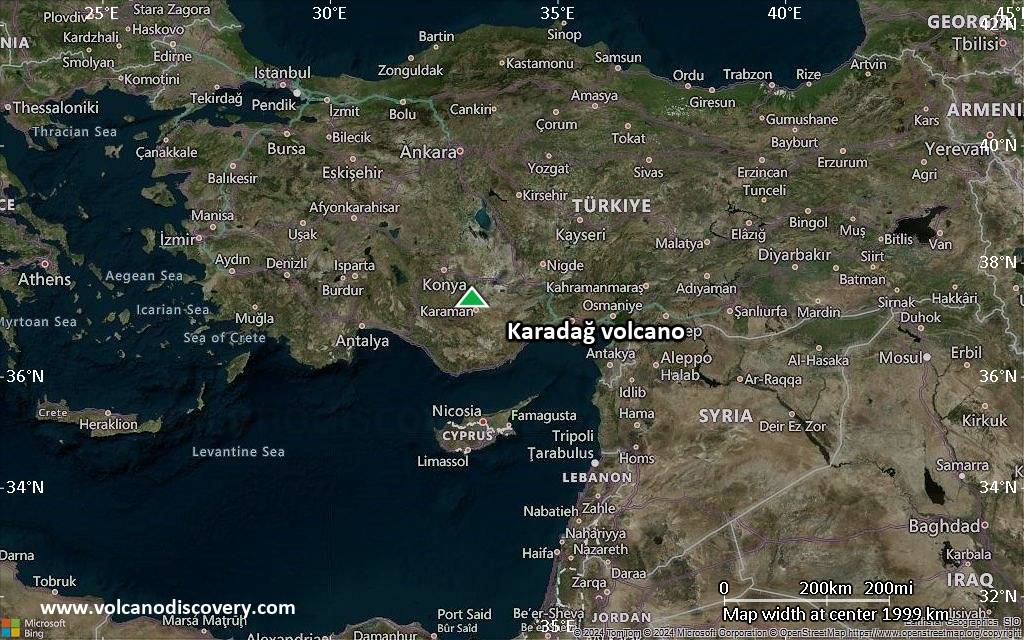
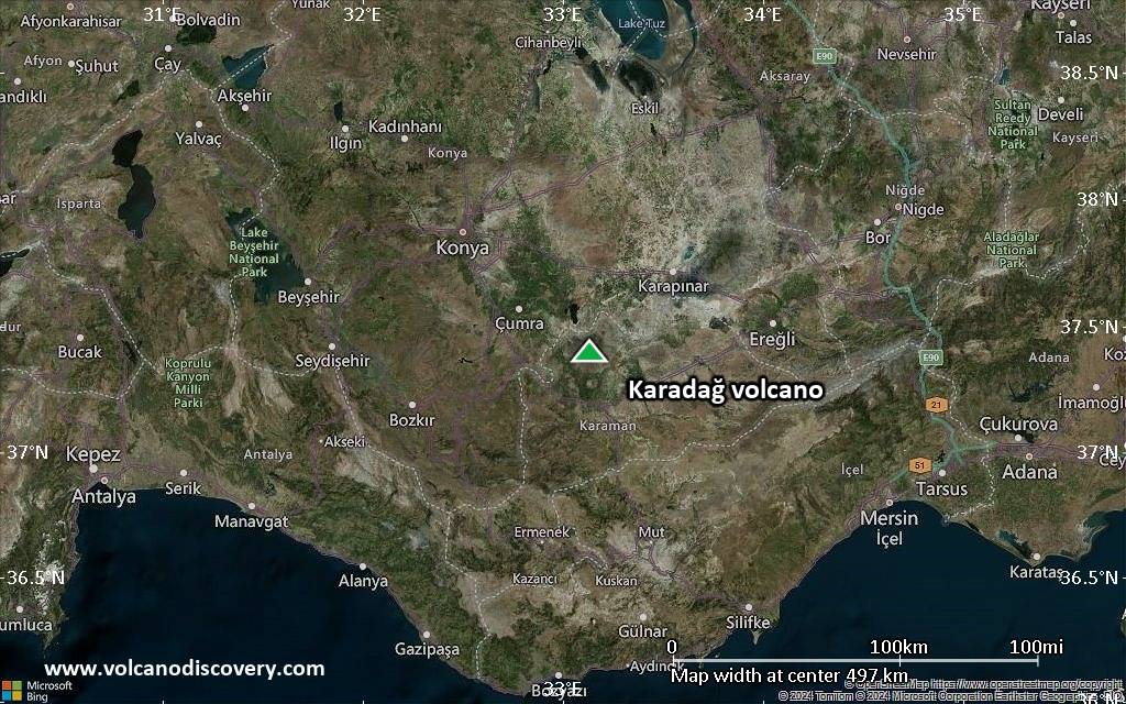
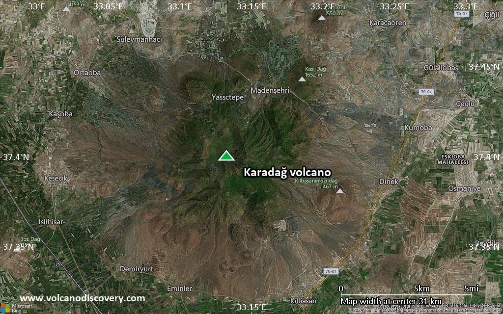
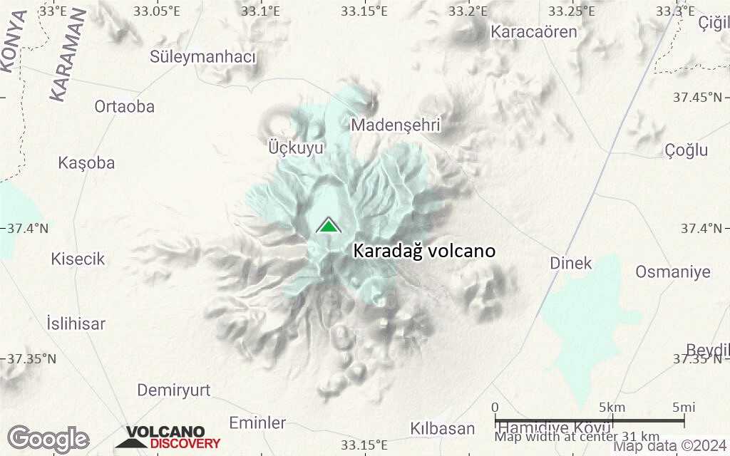
Satellite/aerial-type map of Karadağ volcano (region scale large)
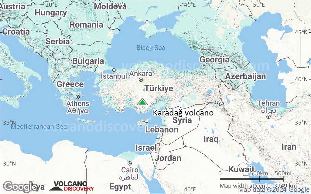
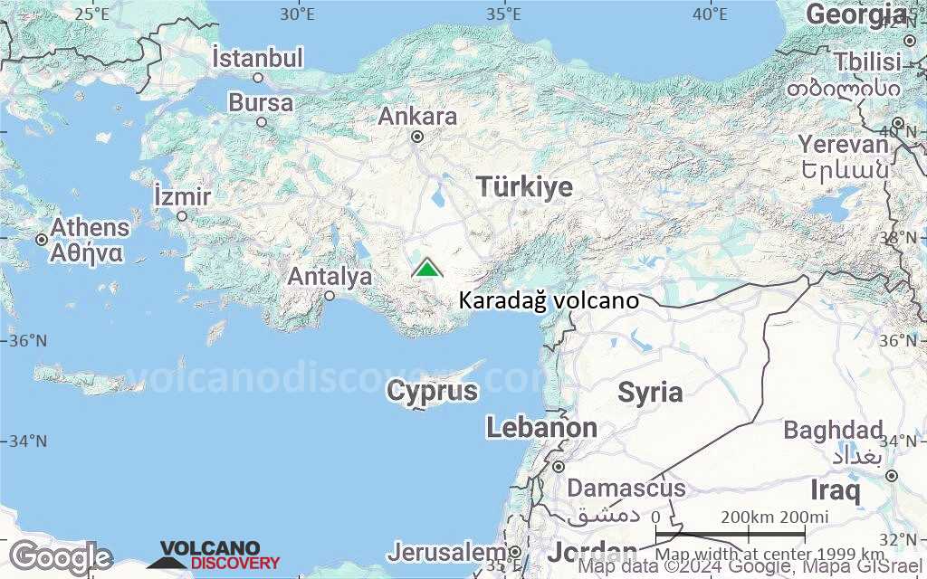
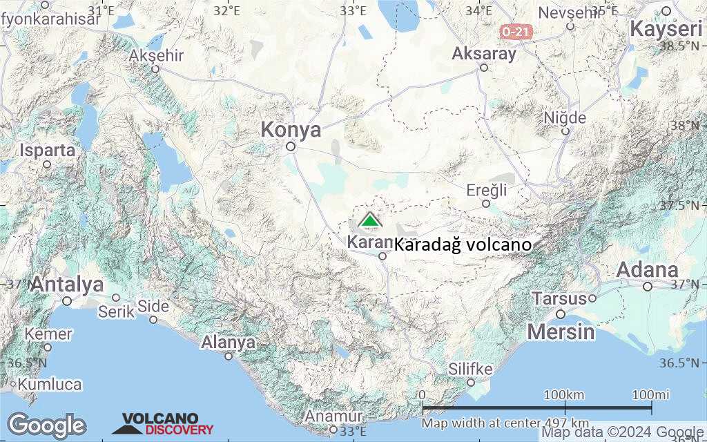
Terrain-type map of Karadağ volcano (region scale large)
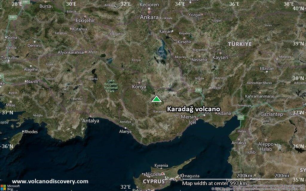
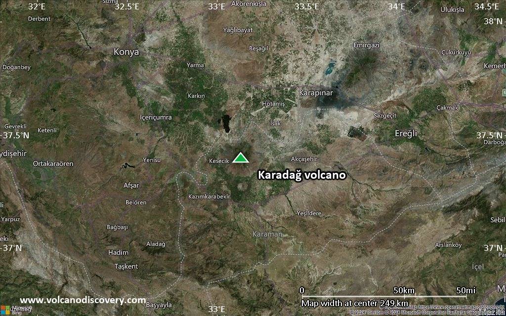
Satellite/aerial-type map of Karadağ volcano (region scale medium)
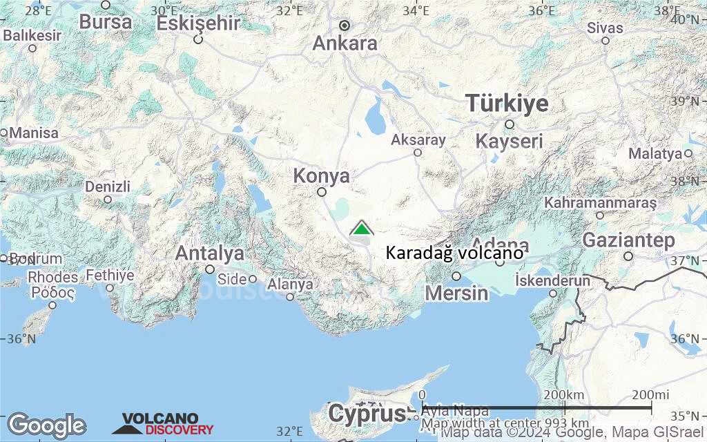
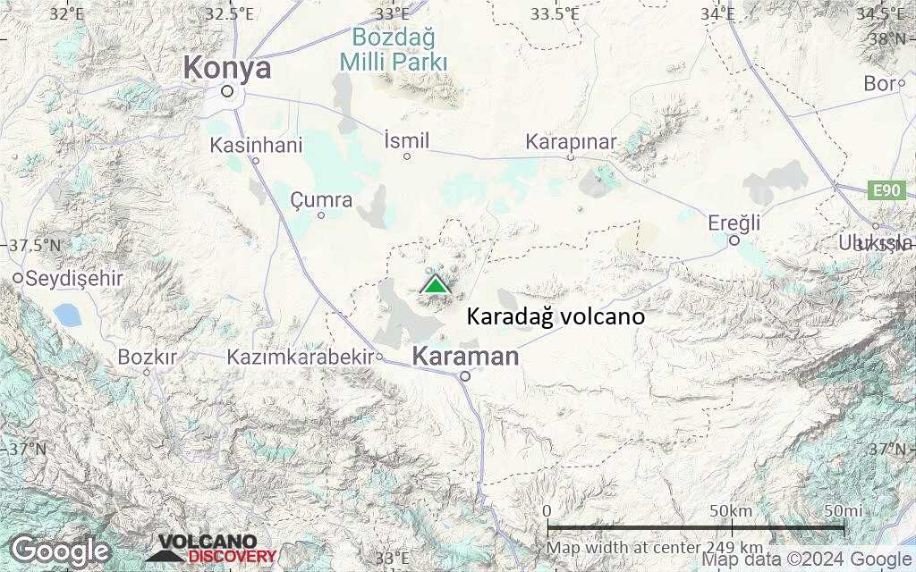
Terrain-type map of Karadağ volcano (region scale medium)
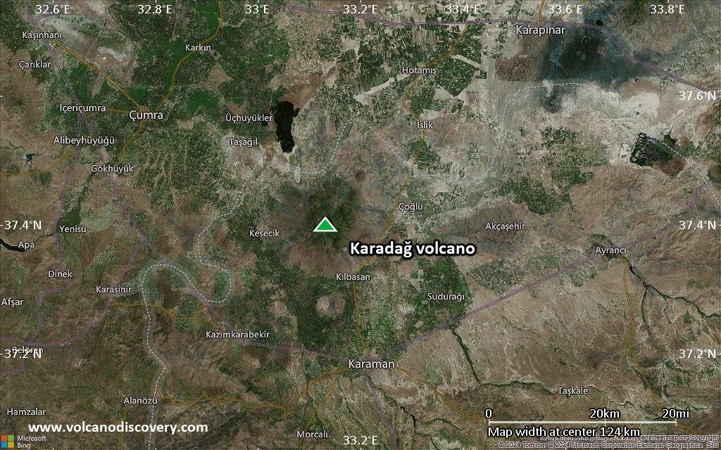
Satellite/aerial-type map of Karadağ volcano (region scale small)
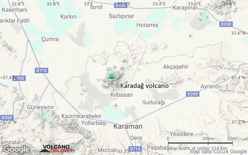
Terrain-type map of Karadağ volcano (region scale small)
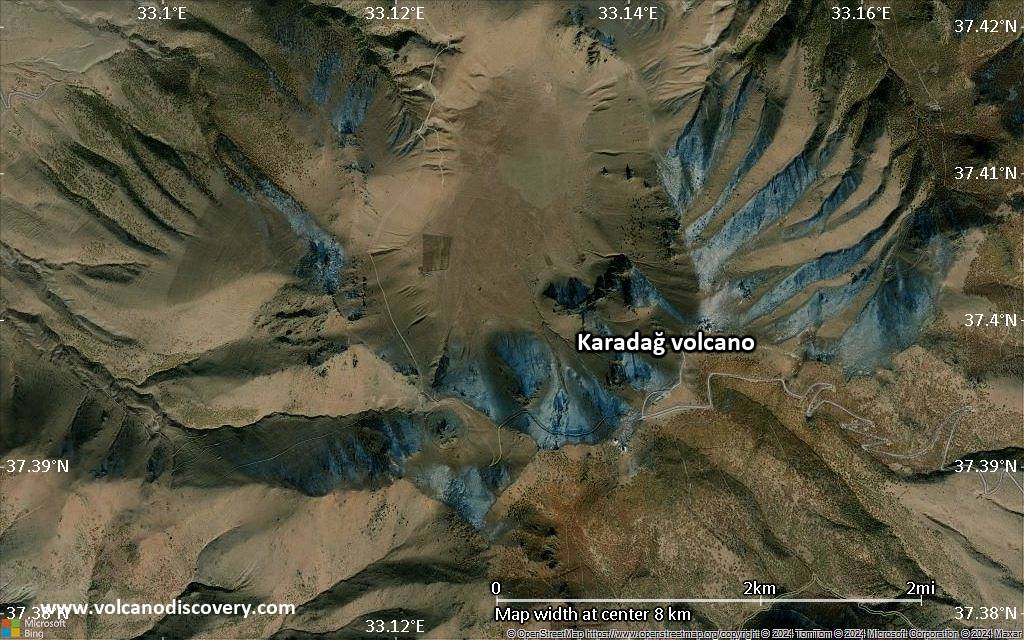
Satellite/aerial-type map of Karadağ volcano (local scale large)
Terrain-type map of Karadağ volcano (local scale large)
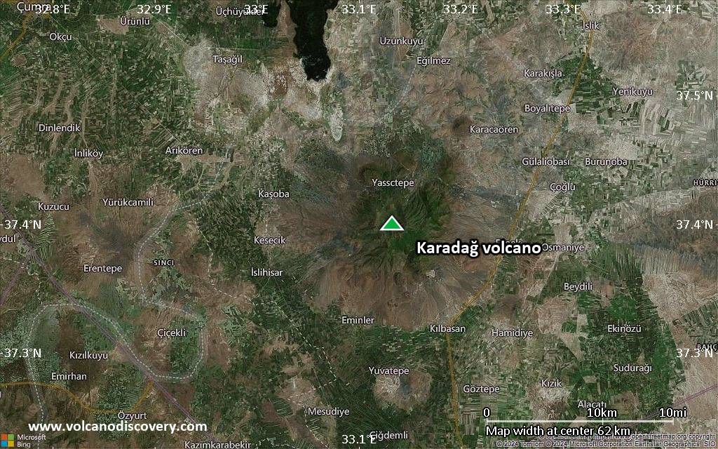
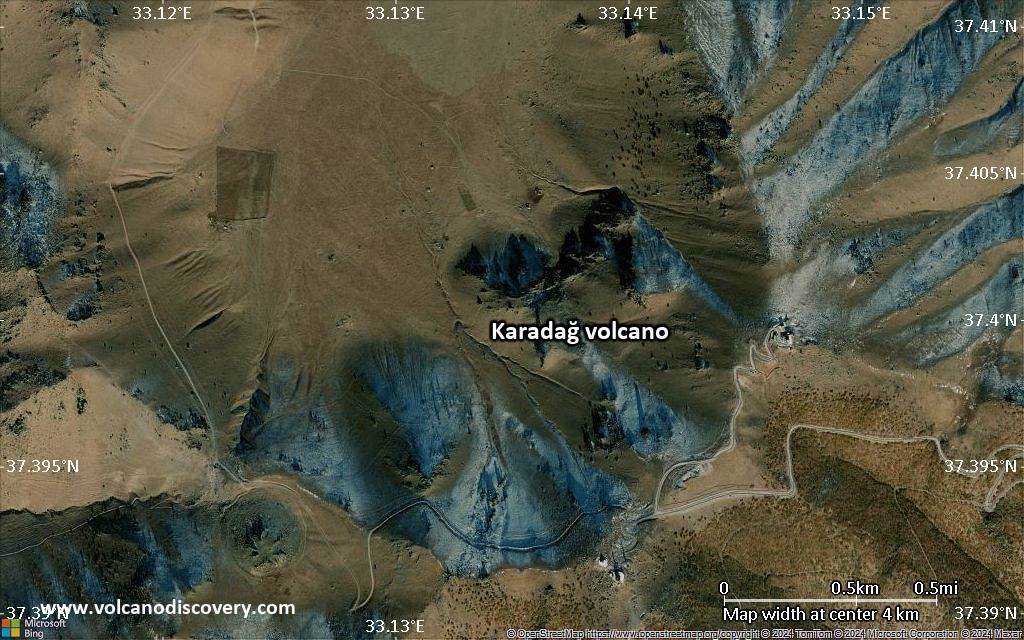
Satellite/aerial-type map of Karadağ volcano (local scale medium)
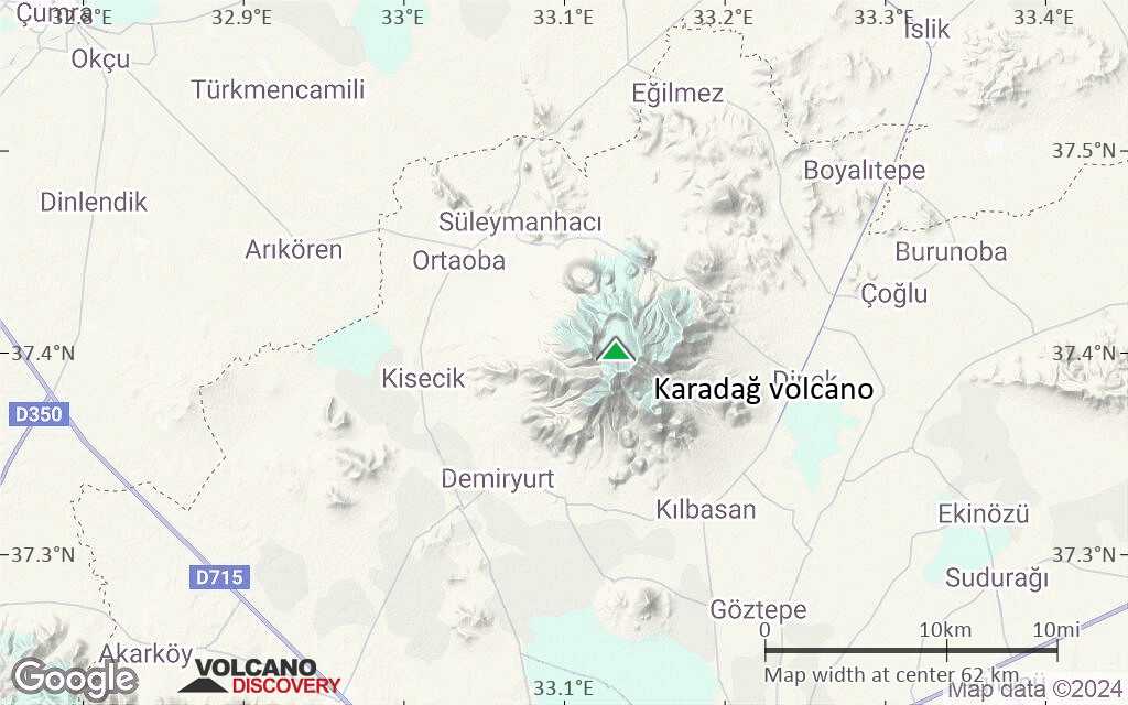
Terrain-type map of Karadağ volcano (local scale medium)
Satellite/aerial-type map of Karadağ volcano (local scale small)
Terrain-type map of Karadağ volcano (local scale small)
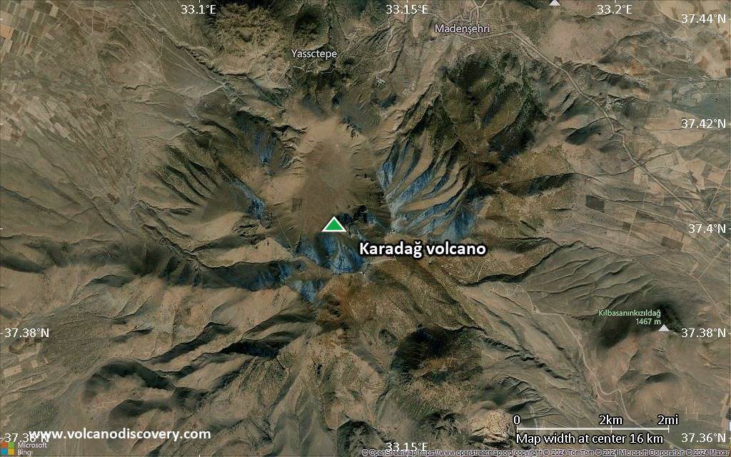
Satellite/aerial-type map of Karadağ volcano (scale of 10s of km)
Terrain-type map of Karadağ volcano (scale of 10s of km)
Satellite/aerial-type map of Karadağ volcano (scale of 20-40 km)
Terrain-type map of Karadağ volcano (scale of 20-40 km)
Satellite/aerial-type map of Karadağ volcano (scale of approx. 10-20 km)
Terrain-type map of Karadağ volcano (scale of approx. 10-20 km)
Satellite/aerial-type map of Karadağ volcano (scale of 5-10 km)
Satellite/aerial-type map of Karadağ volcano (scale of few kilometers)
Volcanoes & Earthquakes - new app for Android
Guaranteed tours
6-19 Apr 2025: Desert, salt and volcanoes - Danakil desert (Ethiopia)
12-19 Apr 2025: Europe's Volcanic Outpost - Canary Islands
9-25 Jun 2025: Volcanoes and Spices - Sulawesi/Halmahera (Indonesia)
27 Jun - 6 Jul 2025: Iceland Volcano Special - Iceland
7-23 Jul 2025: Volcanoes and Spices - Sulawesi/Halmahera (Indonesia)
1-17 Aug 2025: Volcanoes and Spices - Sulawesi/Halmahera (Indonesia)
13-26 Sep 2025: Green Volcanoes - Azores (Portugal)
1-14 Oct 2025: Desert, salt and volcanoes - Danakil desert (Ethiopia)
4-12 Oct 2025: From Stromboli to Etna - Sicily and Eolian Islands (Italy)
= spaces available   = guaranteed   = few spaces left   = booked out

No news in this list.

On this page:

Why is there advertising on this site?
Sources: VolcanoDiscovery / VolcanoAdventures and other sources as noted.
Use of material: Most text and images on our websites are owned by us. Re-use is generally not permitted without authorization. Contact us for licensing rights.
Volcanoes & Earthquakes
VolcanoDiscovery Home
Volcanoes | Earthquakes | Photos | Volcano News | App
Adventure & Study Travel
Tours to Volcanoes and Volcanic Areas: walking tours, photo tours, study tours
Tours & Dates | FAQ | About us
Get our newsletter!
Company info
Contact | Legal info | Terms & conditions
Follow us
Follow us on facebook Follow us on Instagram Follow us on Bluesky Follow us on Twitter Visit our Youtube channel
EN | DE | EL | ES | FR | IT | RU
VolcanoDiscovery GmbH, Germany, Reg. nr.: HRB 103744, EU Tax Id: DE 297 465 123 owned and created by
Dr. Tom Pfeiffer, volcanologist, volcano photographer, tour organizer member of
IAVCEI
IAVCEI
Vulkanologische Gesellschaft
Volcanological Society
Ecotourism Greece
Ecotourism Greece
RUV insurance
Insured by R+V
VolcanoDiscovery © 2004- All Rights Reserved | Privacy - Cookie Settings