Karaca Dağ Volcano
Updated: Apr 17, 2025 23:59 GMT -
shieldvolcano
Turkey, 37.71°N / 39.83°E 
Summit height: 1957 m
Current status: normal or dormant (1 out of 5)
The huge Karaca Dağ volcano is a 1957 m high basaltic shield volcano in SE-Turkey near the Syrian border. It is situated on the Arabian foreland and about 150 km of the boundary of the Anatolian plate. It has been active since the Pliocene and also in historic times eruptions occured on its east flank.
[smaller] [larger]
Karaca Dağ volcano eruptions: probably in historic times
Latest nearby earthquakes
| Date and Time | Mag / Depth | Distance / Location | |||
|---|---|---|---|---|---|
Background
It is situated on the Arabian foreland and about 150 km of the boundary of the Anatolian plate. It has been active since the Pliocene and also probably in historic times eruptions occured on its east flank.According to Der Spiegel of either 6 March or 3 June 2006, the Max Planck Institute for Breeding Research in Cologne has discovered that the genetically common ancestor of 68 contemporary types of cereal still grows as a wild plant on the slopes of Mount Karaca (Karacadag).
Latest satellite images


Karaca Dağ Volcano Maps
Below is a selection of maps showing the location and surroundings of the volcano at various resolutions based on aerial-imagery / terrain maps. Feel free to use them for non-commercial purposes on your blog or website as long as you credit them with a link back to this page (click to copy it).

Satellite/aerial-type map of Karaca Dağ volcano (world scale)

Terrain-type map of Karaca Dağ volcano (world scale)
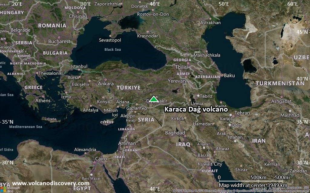
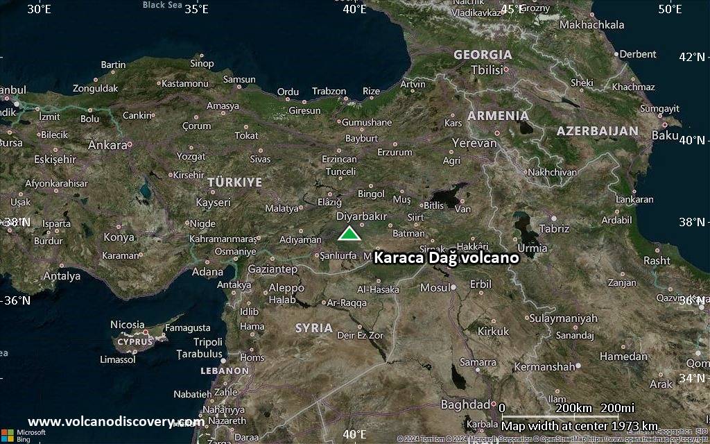
Satellite/aerial-type map of Karaca Dağ volcano (region scale large)
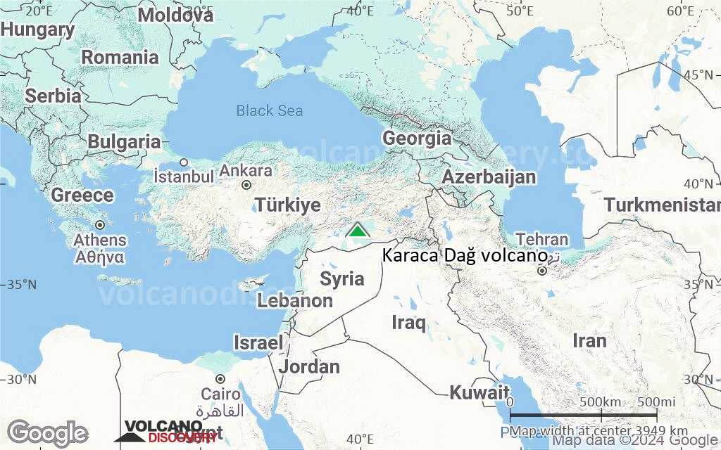
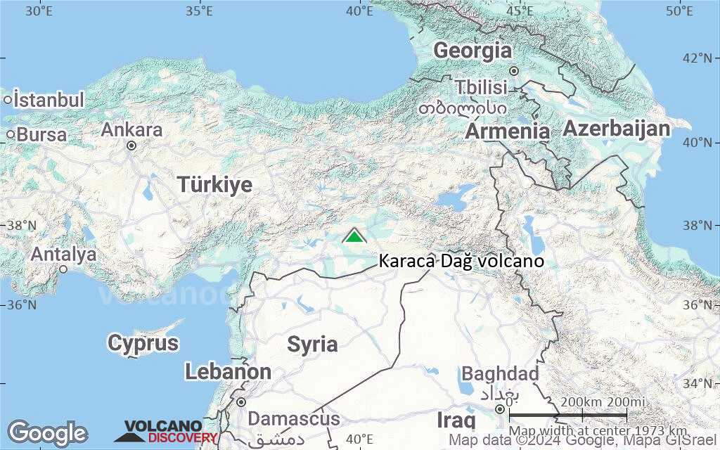
Terrain-type map of Karaca Dağ volcano (region scale large)
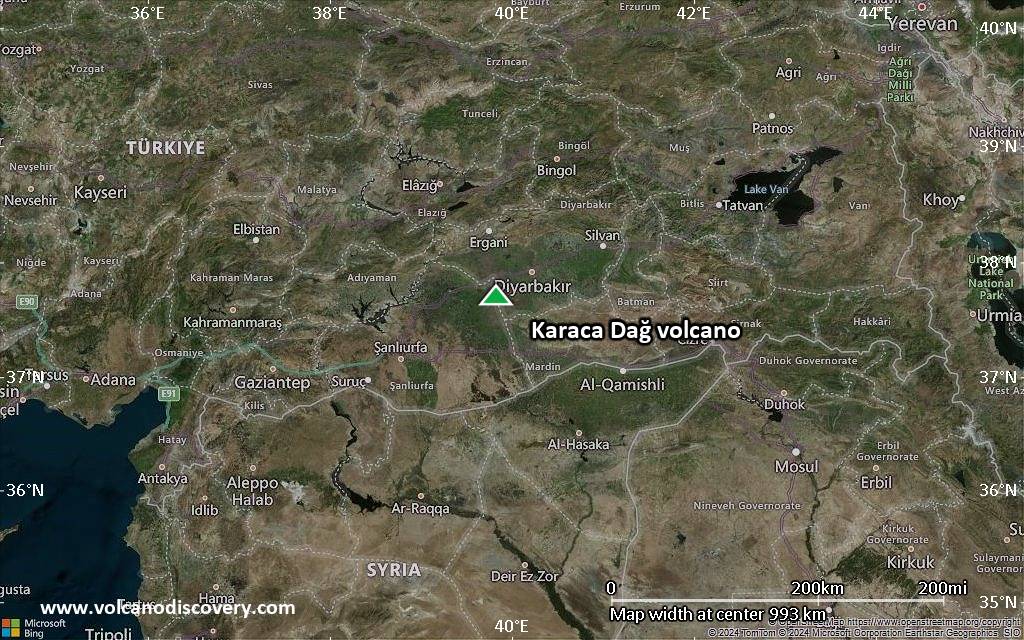
Satellite/aerial-type map of Karaca Dağ volcano (region scale medium)
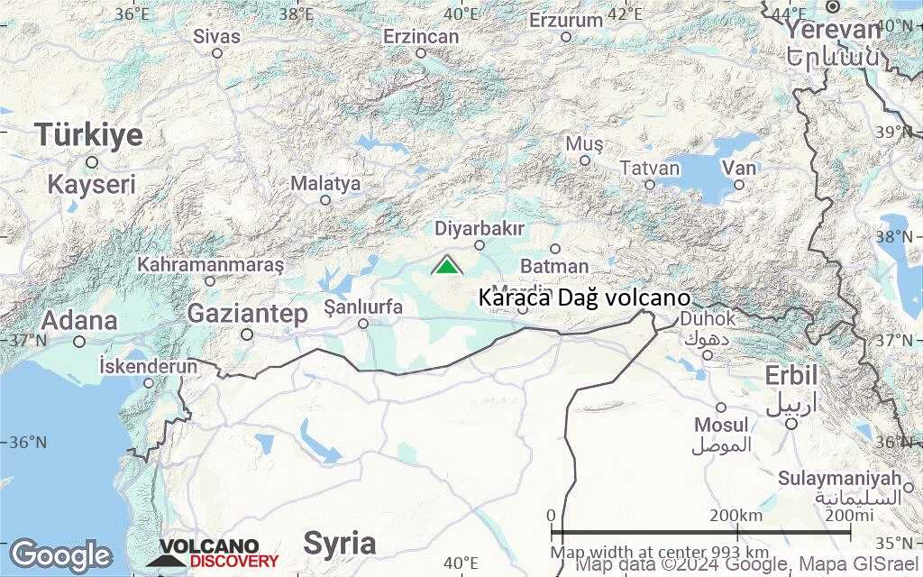
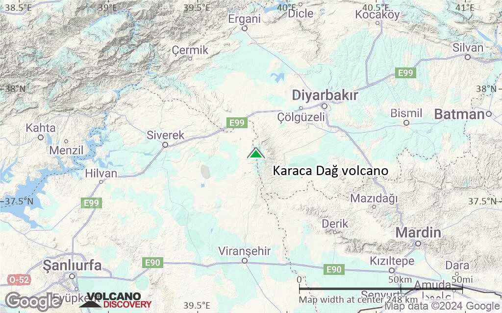
Terrain-type map of Karaca Dağ volcano (region scale medium)
Satellite/aerial-type map of Karaca Dağ volcano (region scale small)
Terrain-type map of Karaca Dağ volcano (region scale small)

Satellite/aerial-type map of Karaca Dağ volcano (local scale large)

Terrain-type map of Karaca Dağ volcano (local scale large)

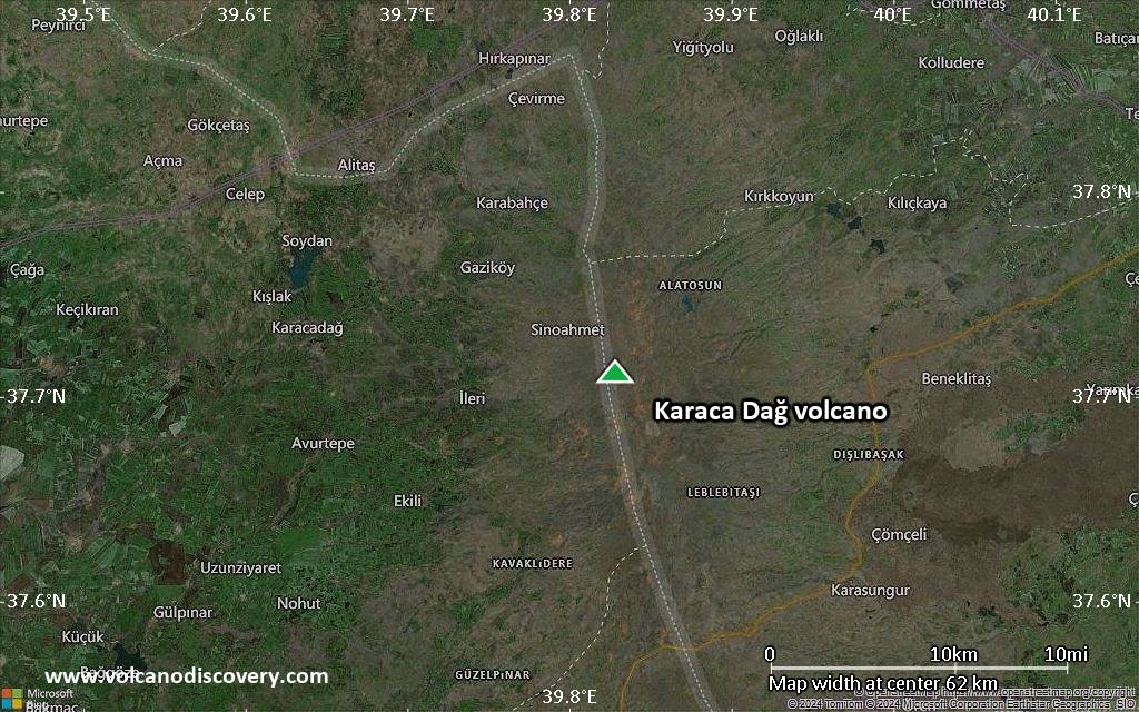
Satellite/aerial-type map of Karaca Dağ volcano (local scale medium)
Terrain-type map of Karaca Dağ volcano (local scale medium)

Satellite/aerial-type map of Karaca Dağ volcano (local scale small)

Terrain-type map of Karaca Dağ volcano (local scale small)
Satellite/aerial-type map of Karaca Dağ volcano (scale of 10s of km)

Terrain-type map of Karaca Dağ volcano (scale of 10s of km)

Satellite/aerial-type map of Karaca Dağ volcano (scale of 20-40 km)

Terrain-type map of Karaca Dağ volcano (scale of 20-40 km)

Satellite/aerial-type map of Karaca Dağ volcano (scale of approx. 10-20 km)

Terrain-type map of Karaca Dağ volcano (scale of approx. 10-20 km)

Satellite/aerial-type map of Karaca Dağ volcano (scale of 5-10 km)

Satellite/aerial-type map of Karaca Dağ volcano (scale of few kilometers)