| RSS | EN | DE | EL | ES | FR | IT | RU

Sporades Vulcano

Updated: 30 apr. 2025 04:08 GMT -
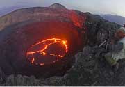
Lava dome
Greece, 39.5°N / 24.18°E
Summit height: unknown
Current status: (probably) extinct (0 out of 5)

[smaller] [larger]
Typical eruption style: unspecified
Eruzioni del vulcano Sporades: None during the past 10,000 years
Less than 2.58 million years ago (Pleistocene)

Latest nearby earthquakes

Data e oraMag / Prof.Distanza / Posizione
29 apr 00:16 (Tempo Universale)
2.2

10 km
22 km a nord est Mare Egeo, 51 km a ovest da Nisi Agios Efstratios , Grecia Info
lunedì, 28 aprile 2025 GMT (1 sismo)
28 apr 05:31 (Tempo Universale)
2.0

5 km
21 km a sud ovest Mare Egeo, 23 km a nord da Nisi Alonnisos , Magnesia, Tessaglia, Grecia Info
venerdì, 25 aprile 2025 GMT (1 sismo)
25 apr 10:25 (Athens)
2.5

10 km
3.9 km a sud Mare Egeo, 45 km a nord est da Patitirion, Magnesia, Tessaglia, Grecia Info
martedì, 22 aprile 2025 GMT (2 sismi)
22 apr 23:34 (Tempo Universale)
1.5

10 km
8.7 km a nord Mare Egeo, 47 km a nord est da Nisi Alonnisos , Magnesia, Tessaglia, Grecia Info
22 apr 19:24 (Athens)
2.5

10 km
26 km a sud Mare Egeo, 17 km a nord est da Nisi Alonnisos , Magnesia, Tessaglia, Grecia Info
lunedì, 21 aprile 2025 GMT (3 sismi)
21 apr 13:23 (Athens)
3?

10 km
28 km a sud Mare Egeo, 27 km a est da Nisi Alonnisos , Magnesia, Tessaglia, Grecia (non confermato) Info
21 apr 02:56 (Tempo Universale)
2.0

23 km
14 km a est Mare Egeo, 46 km a nord est da Nisi Alonnisos , Magnesia, Tessaglia, Grecia Info
21 apr 00:44 (Tempo Universale)
2.0

17 km
14 km a est Magnesia, Tessaglia, 172 km a nord da Athens, Nomarchia Athinas, Attica, Grecia Info
sabato, 19 aprile 2025 GMT (1 sismo)
19 apr 00:28 (Tempo Universale)
2.3

10 km
25 km a ovest Mare Egeo, 23 km a nord da Nisi Alonnisos , Magnesia, Tessaglia, Grecia Info

Background

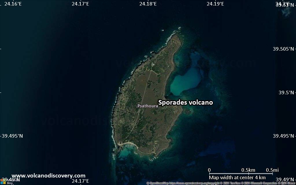
Sporades, a small volcano on the island of Psathoura characterized by overlapping lava flows, is the northernmost Quaternary volcano in Greece. The volcano is also consistently and more often referred to by the name of the island, Psathoura (Koutsovitis et al., 2015; Pe-Piper and Piper, 2007). Koutsovitis et al. (2015) and Fytikas et al. (1984) give an age of 0.7 Ma for the Psathoura basalts. Other volcanism in the central and northern Aegean islands and the Western Thrace area of mainland Greece is of Oligocene to Pliocene age, with Quaternary volcanism being restricted to the southern Aegean arc (Fytikas et al., 1984). The volcanism is controlled by faulting along the North Aegean Trough, a westward extension of the North Anatolian Fault (Pe-Piper and Piper, 2007; Koutsovitis et al., 2015).
---
Smithsonian / GVP volcano information

Ultime immagini satellitari

sporades immagine satellitare sat1sporades immagine satellitare sat2

Sporades Vulcano Mappe

Below is a selection of maps showing the location and surroundings of the volcano at various resolutions based on aerial-imagery / terrain maps. Feel free to use them for non-commercial purposes on your blog or website as long as you credit them with a link back to this page (click to copy it).
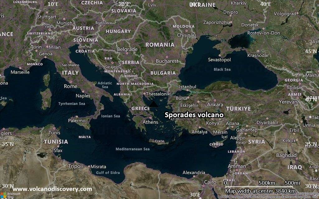
Satellite/aerial-type map of Sporades volcano (world scale)
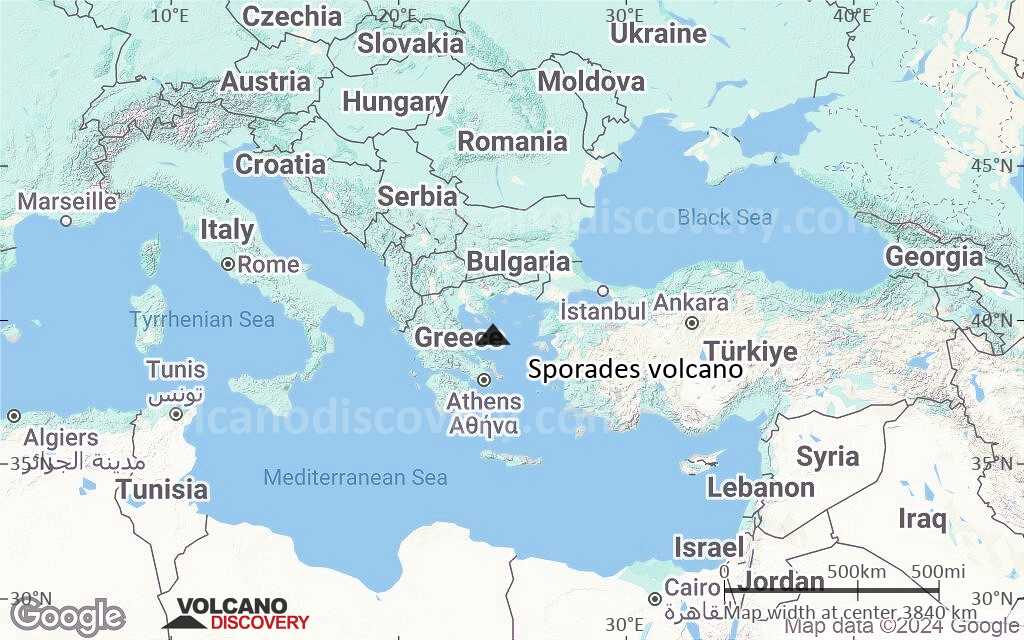
Terrain-type map of Sporades volcano (world scale)
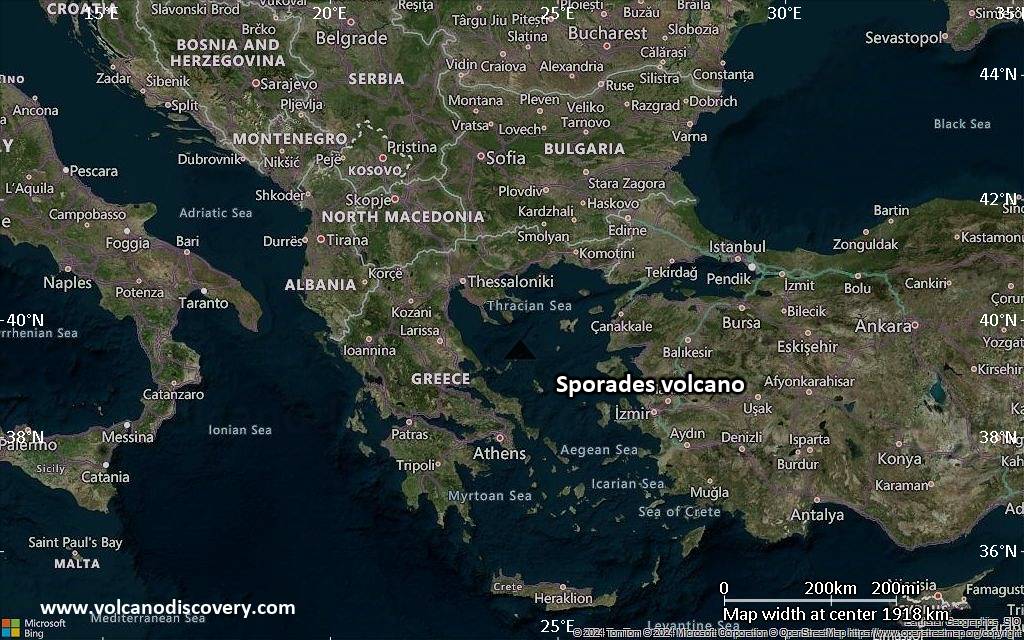
Satellite/aerial-type map of Sporades volcano (region scale large)
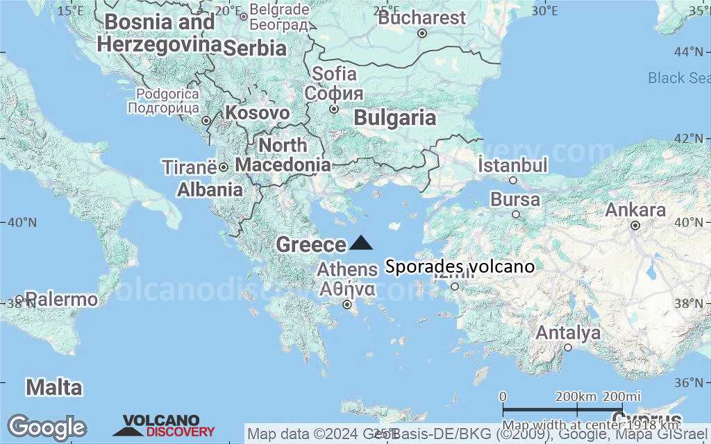
Terrain-type map of Sporades volcano (region scale large)
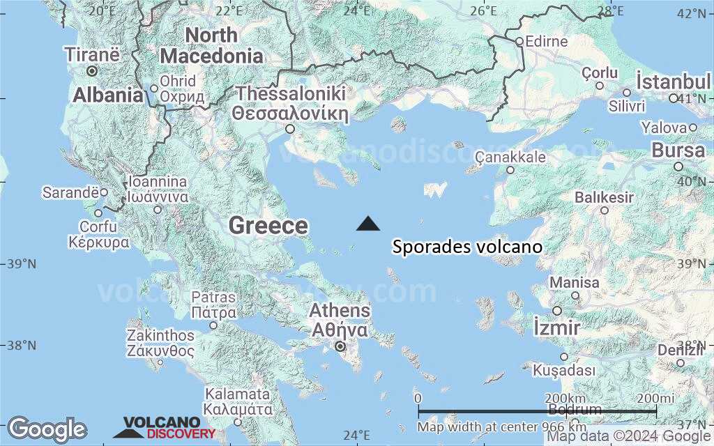
Satellite/aerial-type map of Sporades volcano (region scale medium)
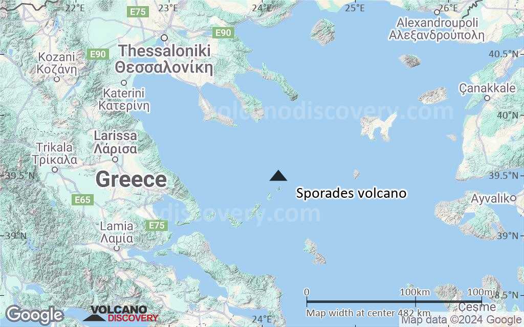
Terrain-type map of Sporades volcano (region scale medium)
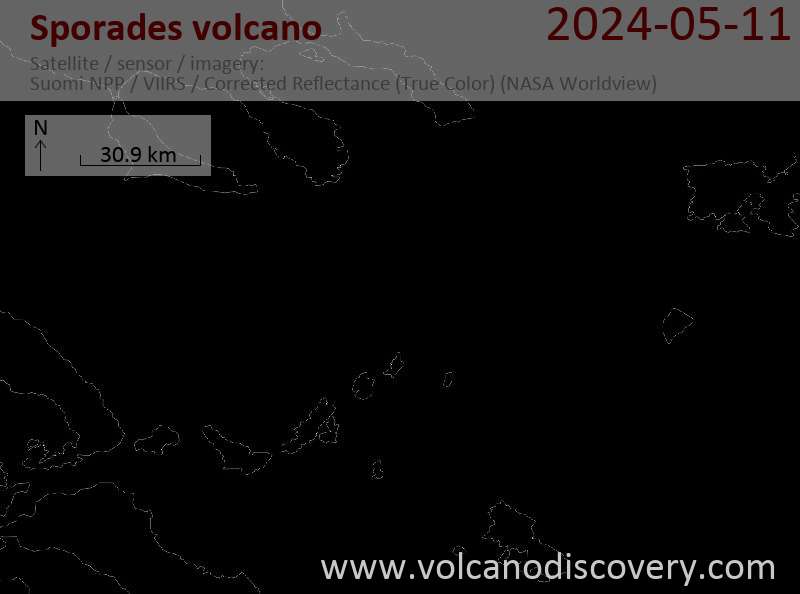
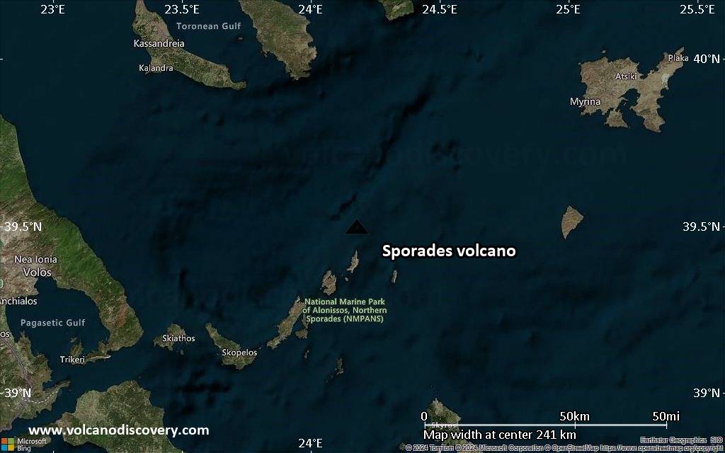
Satellite/aerial-type map of Sporades volcano (region scale small)
Terrain-type map of Sporades volcano (region scale small)
Satellite/aerial-type map of Sporades volcano (local scale large)
Terrain-type map of Sporades volcano (local scale large)
Satellite/aerial-type map of Sporades volcano (local scale medium)
Terrain-type map of Sporades volcano (local scale medium)
Satellite/aerial-type map of Sporades volcano (local scale small)
Terrain-type map of Sporades volcano (local scale small)
Satellite/aerial-type map of Sporades volcano (scale of 10s of km)
Terrain-type map of Sporades volcano (scale of 10s of km)
Satellite/aerial-type map of Sporades volcano (scale of 20-40 km)
Terrain-type map of Sporades volcano (scale of 20-40 km)
Satellite/aerial-type map of Sporades volcano (scale of approx. 10-20 km)
Terrain-type map of Sporades volcano (scale of approx. 10-20 km)
Satellite/aerial-type map of Sporades volcano (scale of 5-10 km)
Satellite/aerial-type map of Sporades volcano (scale of few kilometers)
Volcanoes & Earthquakes - new app for Android
Guaranteed tours
9-25 giu 2025: Volcanoes and Spices - Sulawesi/Halmahera (Indonesia)
7-22 lug 2025: From Krakatau to Bali - Java (Indonesia)
7-23 lug 2025: Volcanoes and Spices - Sulawesi/Halmahera (Indonesia)
1-17 ago 2025: Volcanoes and Spices - Sulawesi/Halmahera (Indonesia)
1-14 ott 2025: Desert, salt and volcanoes - Danakil desert (Ethiopia)
4-12 ott 2025: From Stromboli to Etna - Eolian Islands + Etna volcano
6-21 ott 2025: From Krakatau to Bali - Java (Indonesia)
3-19 nov 2025: Volcanoes and Spices - Sulawesi/Halmahera (Indonesia)
= spaces available   = guaranteed   = few spaces left   = booked out
News

No news in this list.

Su questa pagina:

Try our free app!
Volcanoes & Earthquakes - new app for Android
Android | iOS version

More on VolcanoDiscovery

Why is there advertising on this site?

Support us - Help us upgrade our services!

We truly love working to bring you the latest volcano and earthquake data from around the world. Maintaining our website and our free apps does require, however, considerable time and resources.
We need financing to increase hard- and software capacity as well as support our editor team. We're aiming to achieve uninterrupted service wherever an earthquake or volcano eruption unfolds, and your donations can make it happen! Every donation will be highly appreciated. If you find the information useful and would like to support our team in integrating further features, write great content, and in upgrading our soft- and hardware, please make a donation (PayPal).

Planned features:Thanks to your past donations, these features have been added recently:
Download and Upgrade the Volcanoes & Earthquakes app to get one of the fastest seismic and volcano alerts online:
Android | IOS
Thank you!
Sources: VolcanoDiscovery / VolcanoAdventures and other sources as noted.
Use of material: Most text and images on our websites are owned by us. Re-use is generally not permitted without authorization. Contact us for licensing rights.
Volcanoes & Earthquakes
VolcanoDiscovery Home
Vulcani | Earthquakes | Photos | News | | Shop | App
Adventure & Study Travel
Tours to Volcanoes and Volcanic Areas: walking tours, photo tours, study tours
Tours & Dates | FAQ | About us
Get our newsletter!
Company info
Contact | Legal info | Terms & conditions
Follow us
Follow us on facebook Follow us on Instagram Follow us on Bluesky Follow us on Twitter Visit our Youtube channel
EN | DE | EL | ES | FR | IT | RU
VolcanoDiscovery GmbH, Germany, Reg. nr.: HRB 103744, EU Tax Id: DE 297 465 123 owned and created by
Dr. Tom Pfeiffer, volcanologist, volcano photographer, tour organizer member of
IAVCEI
IAVCEI
Vulkanologische Gesellschaft
Volcanological Society
Ecotourism Greece
Ecotourism Greece
RUV insurance
Insured by R+V
VolcanoDiscovery © 2004- All Rights Reserved | Privacy - Cookie Settings