


Beru Vulcano
Updated: 28 apr. 2025 09:55 GMT -
Volcanic field
Ethiopia, 8.95°N / 39.75°E 
Summit height: 1100 m / 3,609 ft
Current status: normal or dormant (1 out of 5)
[smaller] [larger]
Eruzioni del vulcano Beru: unknown, no recent eruptions
Latest nearby earthquakes
| Data e ora | Mag / Prof. | Distanza / Posizione | |||
|---|---|---|---|---|---|
Background
An area of Holocene basaltic lava flows is located along the Main Ethiopian Rift at Beru, between Fentale and Kone (Gariboldi) volcanoes.---
Smithsonian / GVP volcano information
Beru Volcano Photos
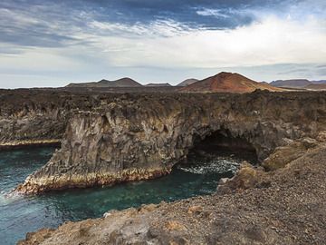
La famosa costa Los Hervideros con colonne di basalto. (Photo: Tobias Schorr)
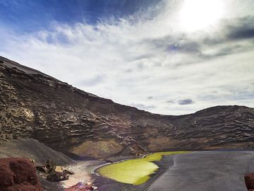
L'area del cratere freatico di El Golfo è famosa per il laghetto verde. (Photo: Tobias Schorr)
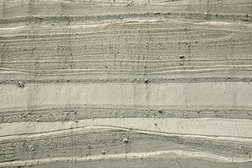
Strati di pomice dell'eruzione del lago Laacher nella cava Wingertsbergwand vicino a Mendig/Germania (Photo: Tobias Schorr)
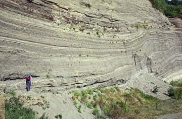
La famosa Wingertsbergwand, un'eccellente esposizione della caduta piroclastica prossimale e dei depositi di surge formati dall'eruzione del vulcano Pliniano Laacher See ...
Ultime immagini satellitari

Beru Vulcano Mappe
Below is a selection of maps showing the location and surroundings of the volcano at various resolutions based on aerial-imagery / terrain maps. Feel free to use them for non-commercial purposes on your blog or website as long as you credit them with a link back to this page (click to copy it).

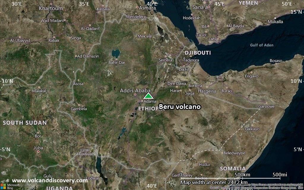
Satellite/aerial-type map of Beru volcano (world scale)
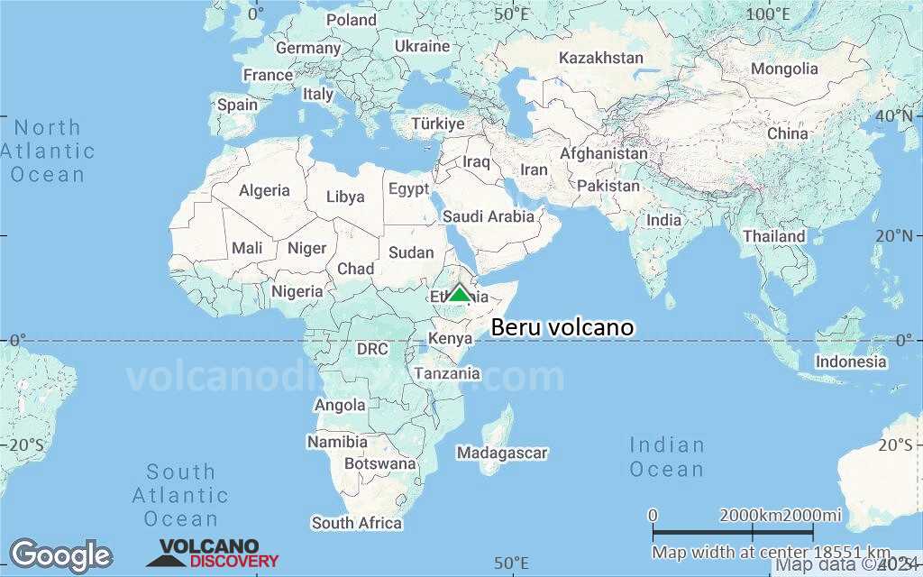
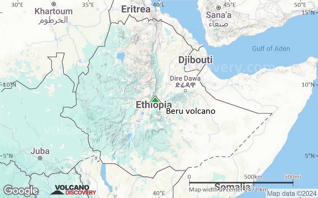
Terrain-type map of Beru volcano (world scale)
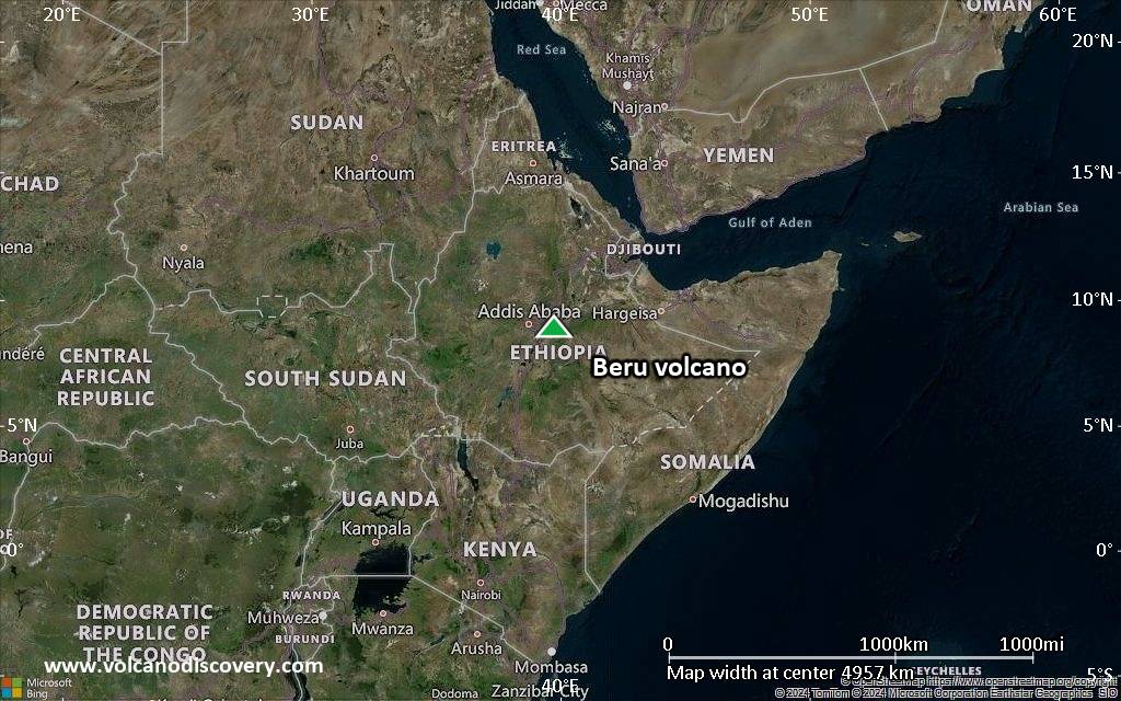
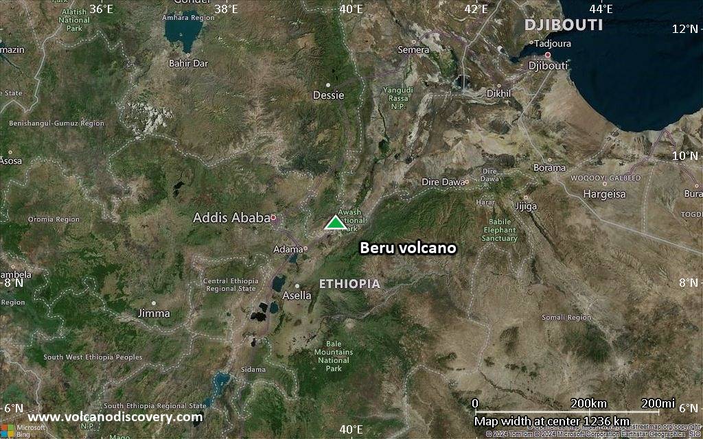
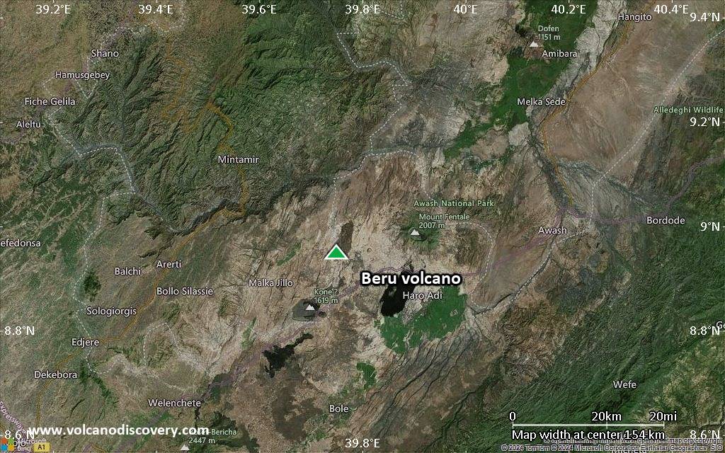
Satellite/aerial-type map of Beru volcano (region scale large)
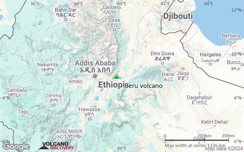
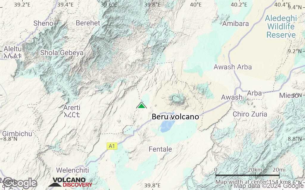
Terrain-type map of Beru volcano (region scale large)
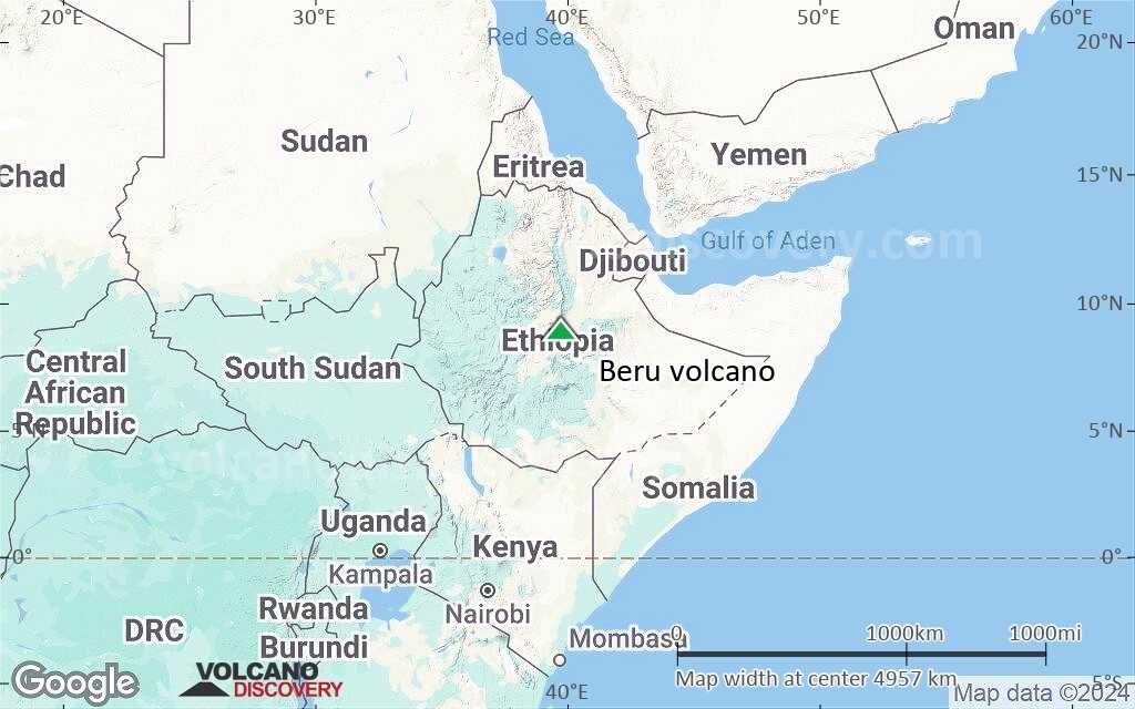
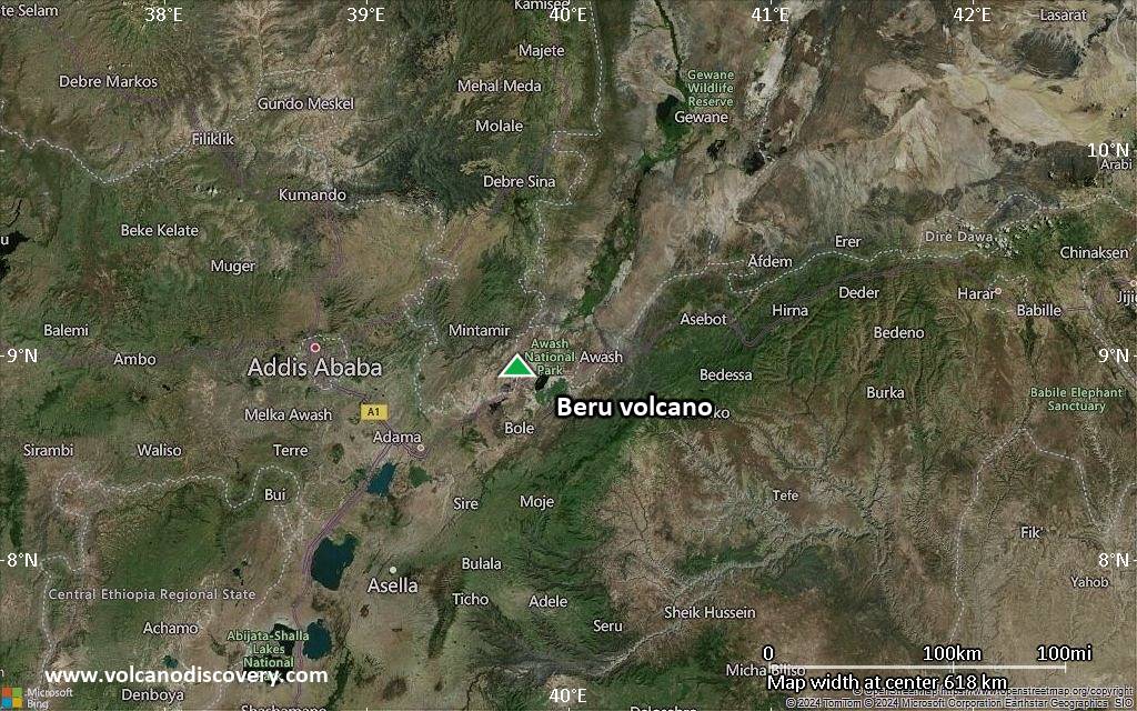
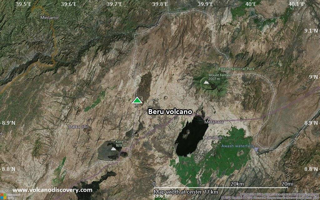
Satellite/aerial-type map of Beru volcano (region scale medium)
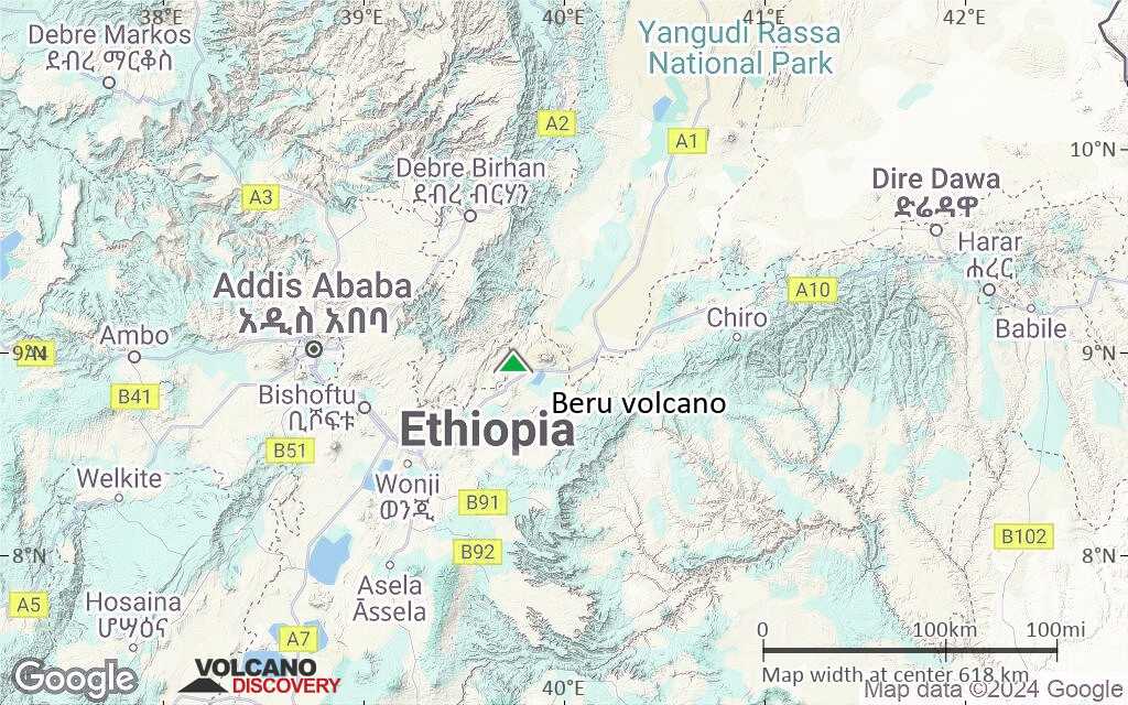
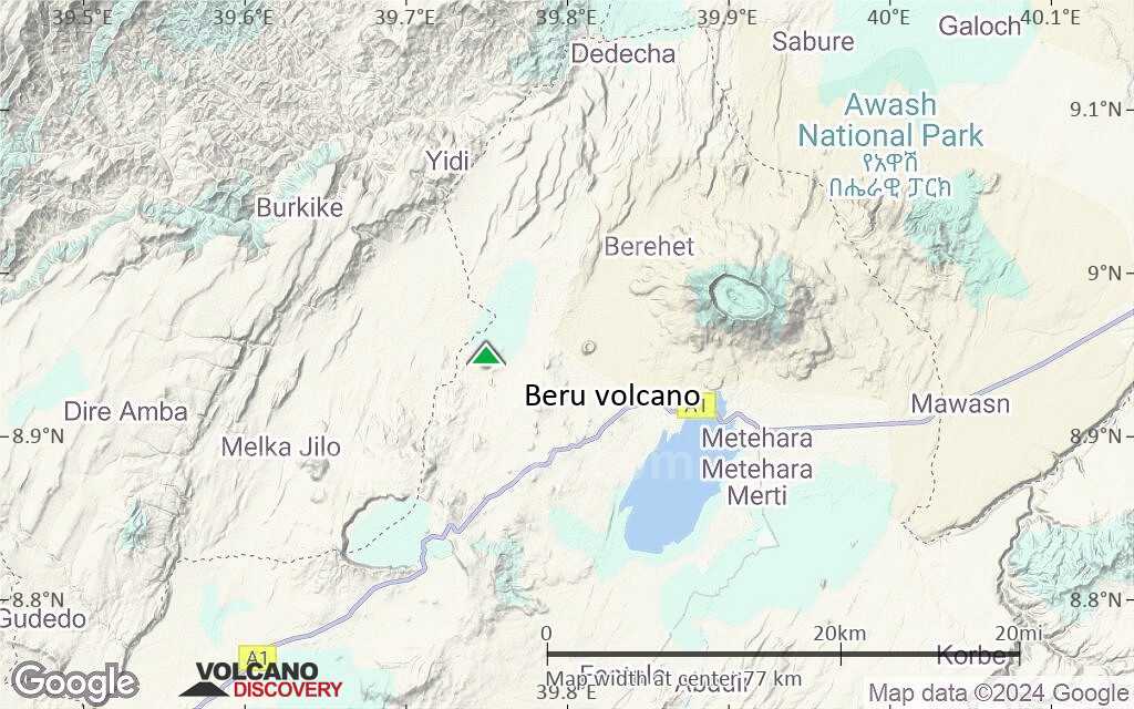
Terrain-type map of Beru volcano (region scale medium)
Satellite/aerial-type map of Beru volcano (region scale small)
Terrain-type map of Beru volcano (region scale small)
Satellite/aerial-type map of Beru volcano (local scale large)
Terrain-type map of Beru volcano (local scale large)
Satellite/aerial-type map of Beru volcano (local scale medium)
Terrain-type map of Beru volcano (local scale medium)
Satellite/aerial-type map of Beru volcano (local scale small)
Terrain-type map of Beru volcano (local scale small)
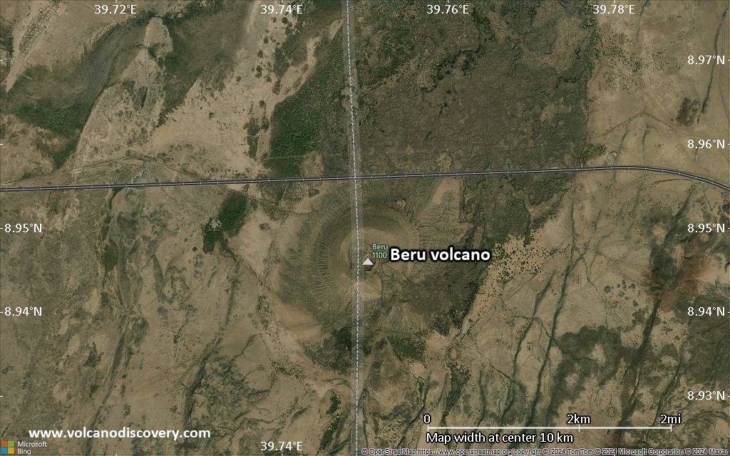
Satellite/aerial-type map of Beru volcano (scale of 10s of km)
Terrain-type map of Beru volcano (scale of 10s of km)
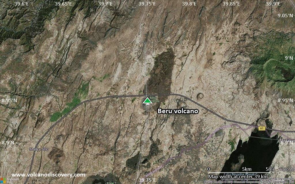
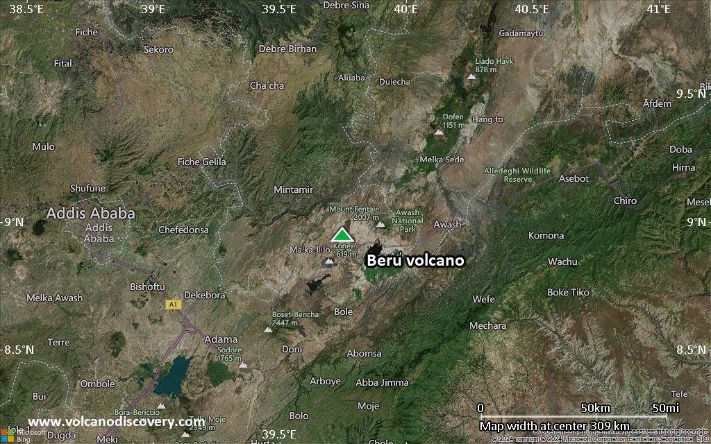
Satellite/aerial-type map of Beru volcano (scale of 20-40 km)
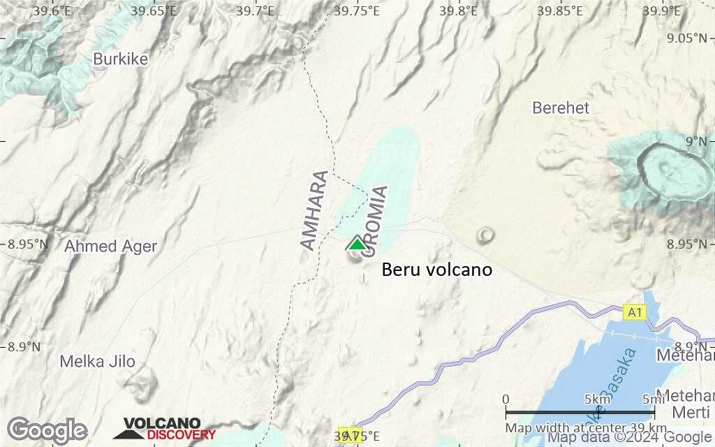
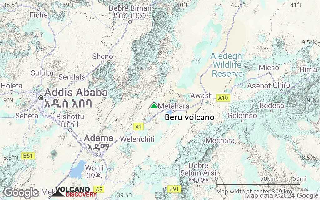
Terrain-type map of Beru volcano (scale of 20-40 km)
Satellite/aerial-type map of Beru volcano (scale of approx. 10-20 km)
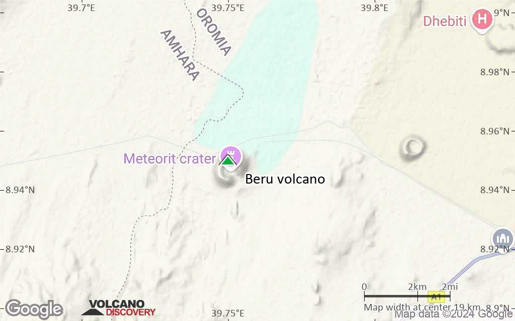
Terrain-type map of Beru volcano (scale of approx. 10-20 km)
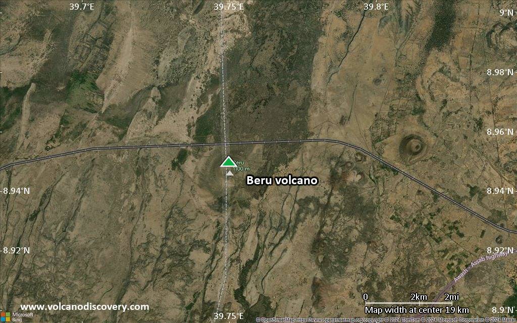
Satellite/aerial-type map of Beru volcano (scale of 5-10 km)
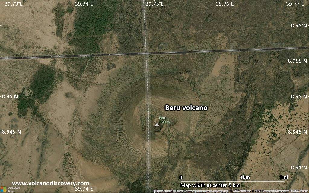
Satellite/aerial-type map of Beru volcano (scale of few kilometers)


