Isla San Luis Volcano
Updated: Apr 30, 2025 10:23 GMT -
tuff cone
Baja California, Mexico, 29.97°N / -114.4°W 
Summit height: 180? m / 591 ft
Current status: normal or dormant (1 out of 5)
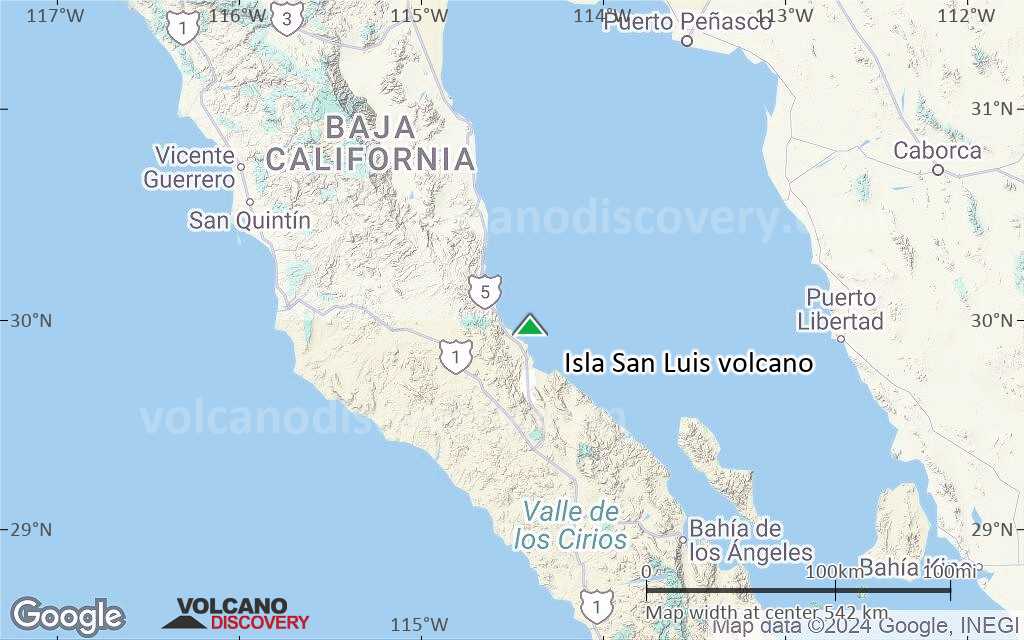
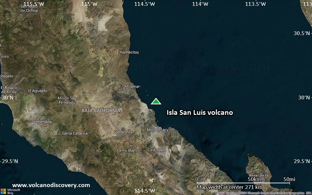
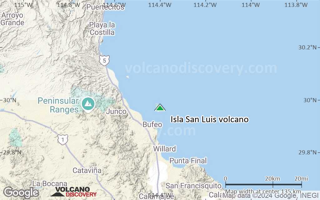
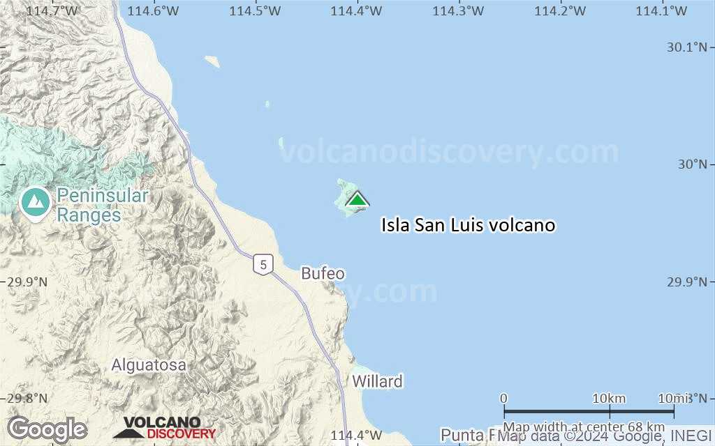
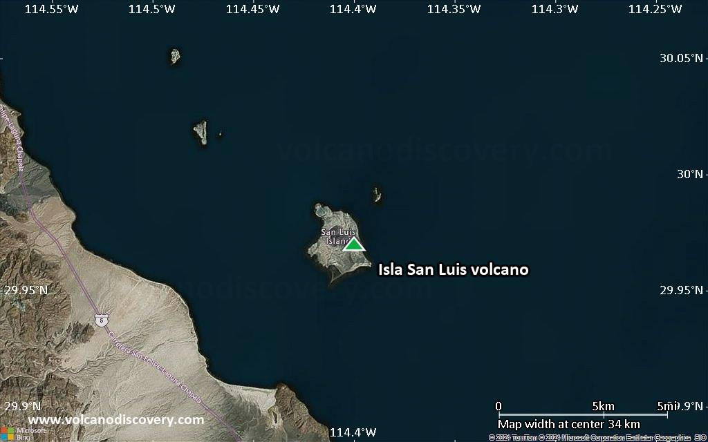
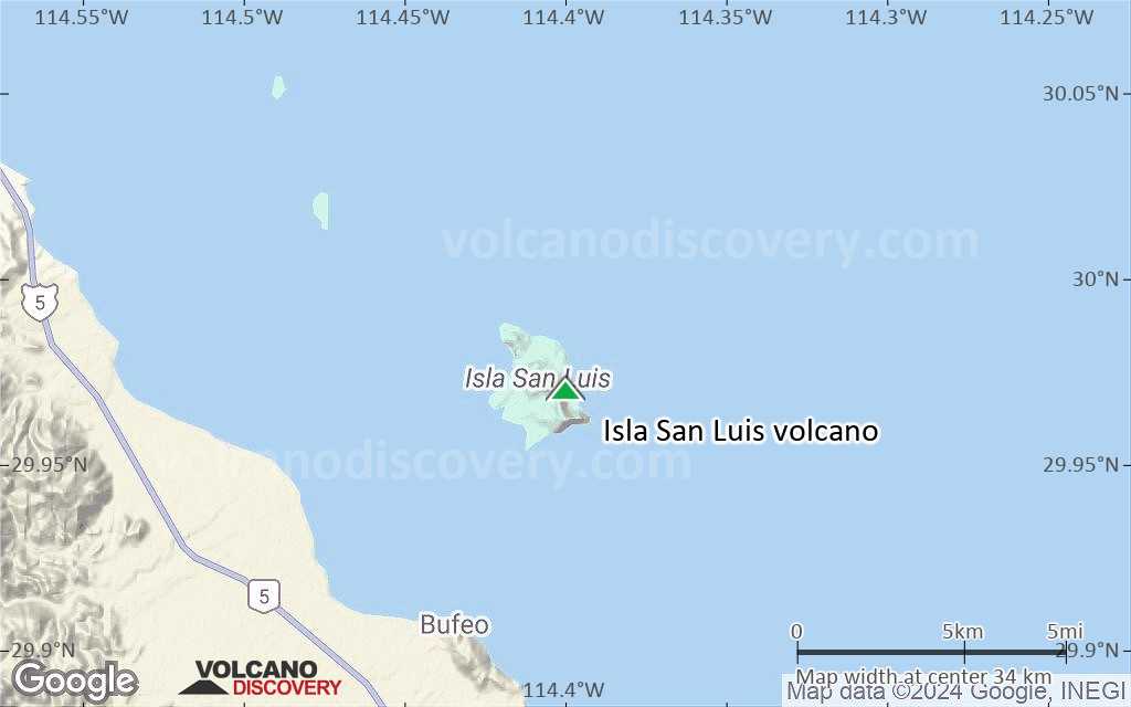
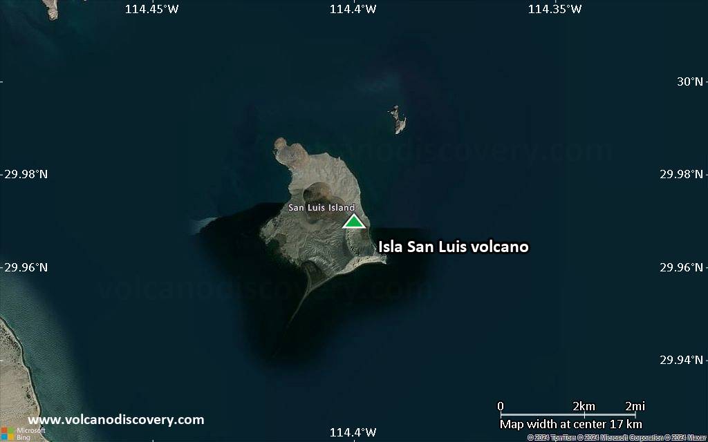
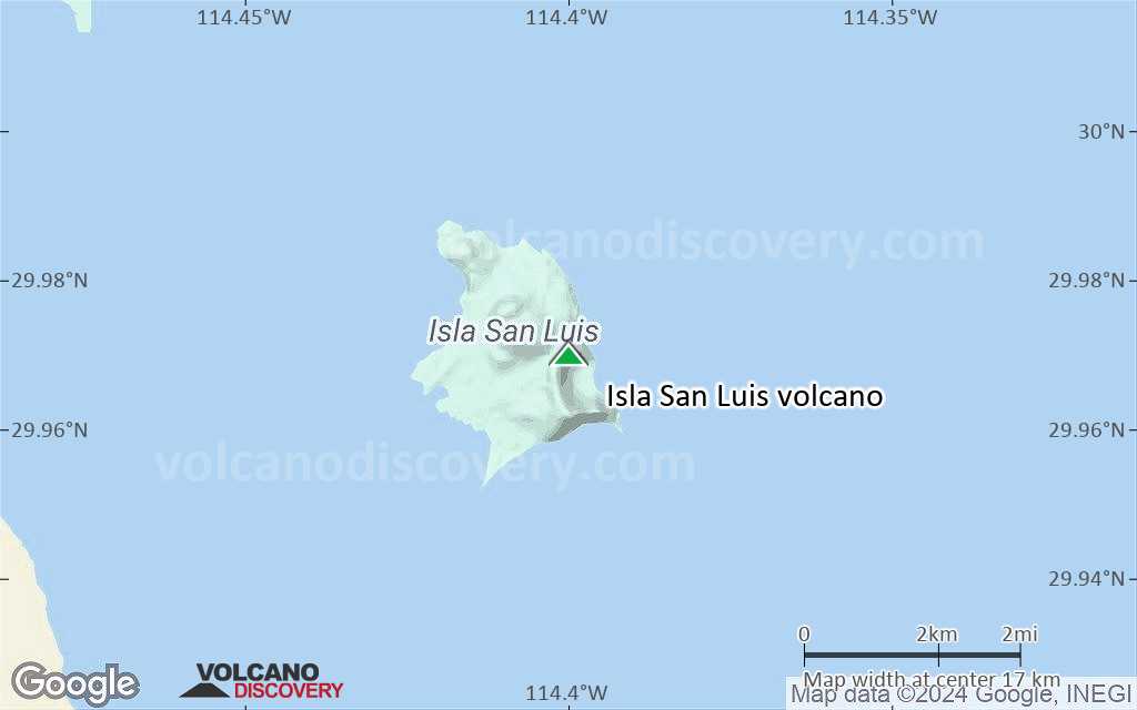
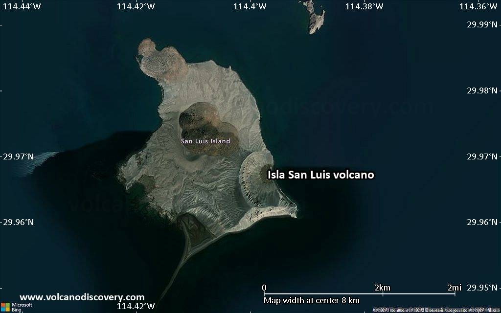
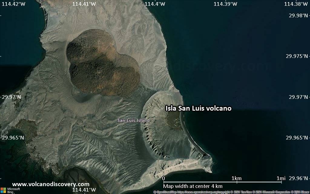
Isla San Luis volcano forms the largest of the 7 Encantada islands in the northern part of the Gulf of California, about 3 km offshore. It is 4.5 sq km large and consists of a 180 m high cone with a narrow peninsula on the SW end.
It is not known when the volcano last erupted, but it could have been less than 100 years ago.
[smaller] [larger]
Isla San Luis volcano eruptions: unknown, possibly less than 100 years ago
Latest nearby earthquakes
| Date and Time | Mag / Depth | Distance / Location | |||
|---|---|---|---|---|---|
Background
The volcano is located at the NW end of the Guaymas lineament. Initial basaltic-andesite and andesitic submarine surtseyan eruptions produced palagonite tuffs and were followed by the effusion of subaerial dacitic lava flows and the formation of dacitic tuff rings.The latest eruptions formed 2 rhyolitic obsidian domes, the younger inside a tuff cone at the center of the island and at the older located at the NW tip of the island.
Significant volcanic eruptions: Isla San Luis volcano
No historic eruptions are known from Isla San Luis volcano, but evidence from at least 3 eruptions during the past 10,000 years can be found in the geological record.
The table below lists all known eruptions (date in bold face) of Isla San Luis volcano in historic times and during the past 10,000 years. Updates on the most recent volcanic activity of Isla San Luis can be found on the news page of Isla San Luis volcano.
| Date | Note | VEI | Deaths | Damage | |
|---|---|---|---|---|---|
| Central rhyolite domes | ? | ||||
| NW beach cliffs | ? | ||||
| ? | |||||
Remark:
Our list of volcanic eruptions closely follows the database of eruptions of the Smithsonian's Global Volcanism Project (GVP), the internationally most recognized data source for volcanic eruptions, but also includes significant eruptive episodes or related volcano events. "Volcanic eruptions" are usually to be understood as sequences of individual eruptive episodes that can follow each other, or even overlap (if several vents are involved), and can last many years, decades or even longer. For example, the current activity of Stromboli volcano is understood as a single eruption that has been ongoing since 1934.
Sources: NOAA National Centers for Environmental Information (NCEI), Global Significant Volcanic Eruptions Database. doi:10.7289/V5TD9V7K | Global Volcanism Project / Smithsonian Institution
Isla San Luis Volcano FAQ
+When was the last eruption of Isla San Luis volcano?
The last confirmed eruption of Isla San Luis occurred around 1141 BC.
Latest satellite images

Isla San Luis Volcano Maps
Below is a selection of maps showing the location and surroundings of the volcano at various resolutions based on aerial-imagery / terrain maps. Feel free to use them for non-commercial purposes on your blog or website as long as you credit them with a link back to this page (click to copy it).

Satellite/aerial-type map of Isla San Luis volcano (world scale)
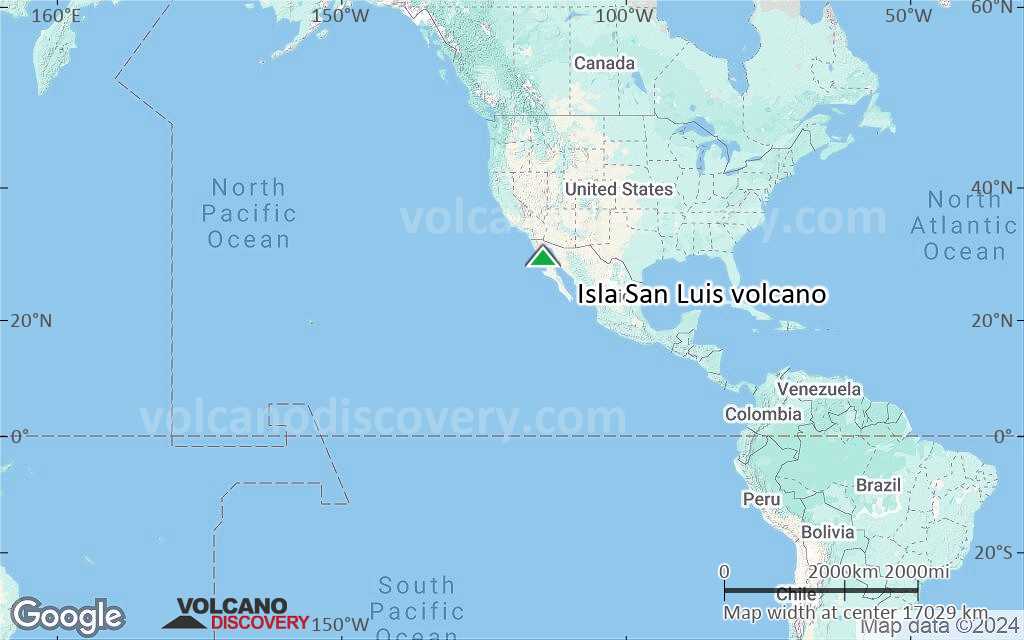
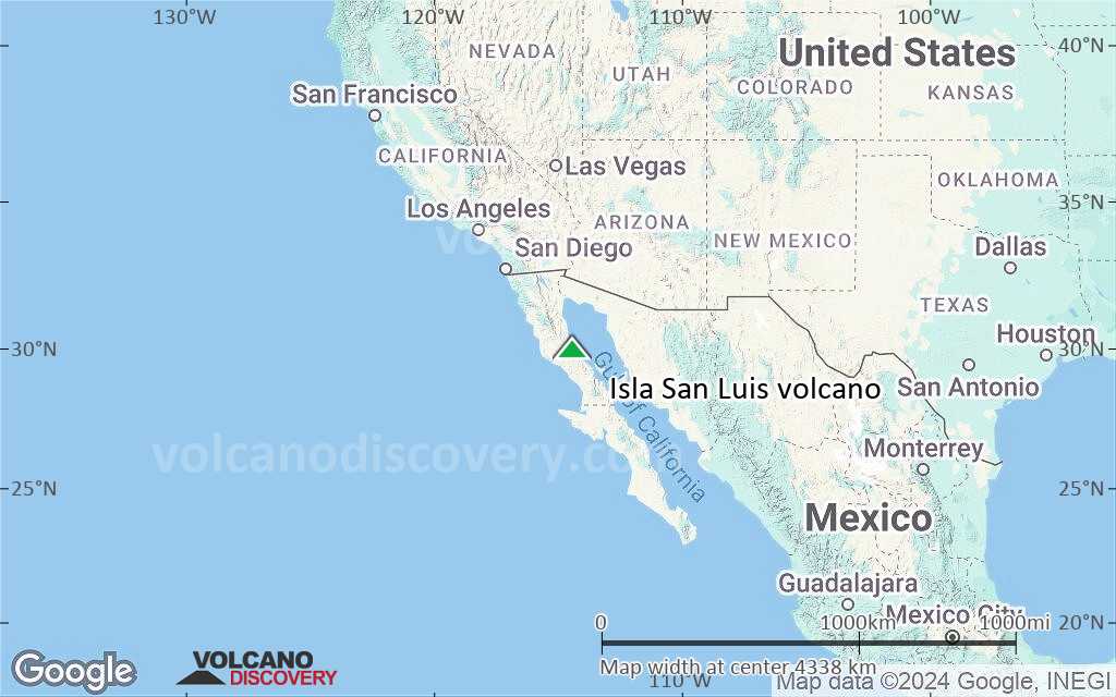
Terrain-type map of Isla San Luis volcano (world scale)
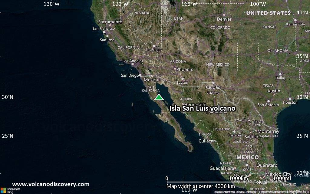
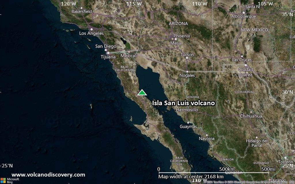
Satellite/aerial-type map of Isla San Luis volcano (region scale large)
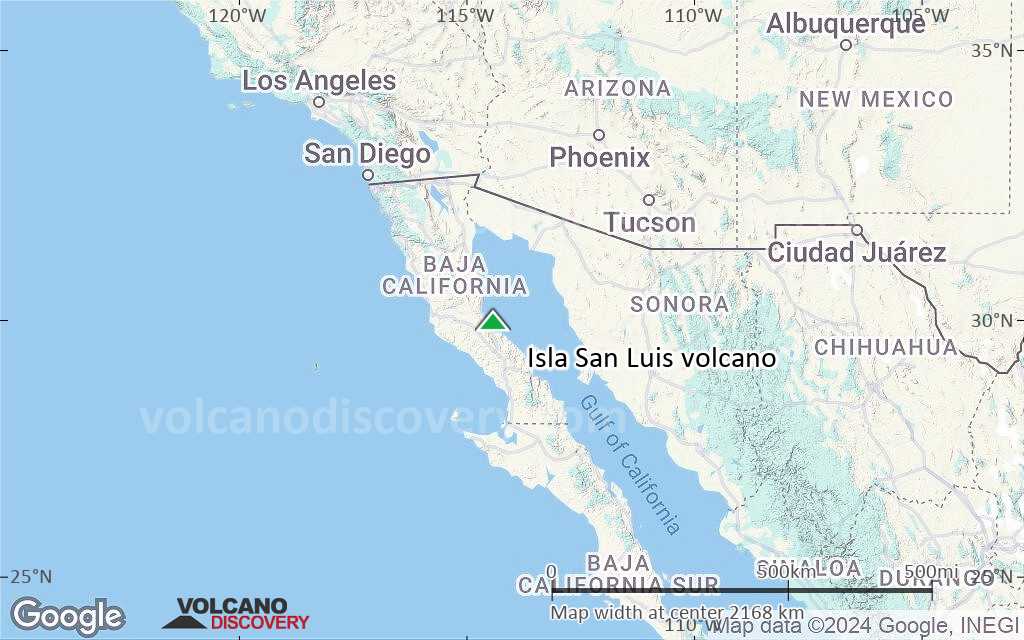
Terrain-type map of Isla San Luis volcano (region scale large)
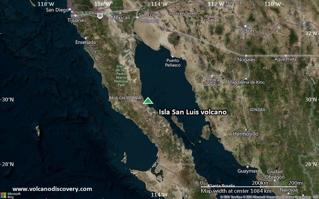
Satellite/aerial-type map of Isla San Luis volcano (region scale medium)
Terrain-type map of Isla San Luis volcano (region scale medium)
Satellite/aerial-type map of Isla San Luis volcano (region scale small)

Terrain-type map of Isla San Luis volcano (region scale small)

Satellite/aerial-type map of Isla San Luis volcano (local scale large)
Terrain-type map of Isla San Luis volcano (local scale large)
Satellite/aerial-type map of Isla San Luis volcano (local scale medium)

Terrain-type map of Isla San Luis volcano (local scale medium)

Satellite/aerial-type map of Isla San Luis volcano (local scale small)
Terrain-type map of Isla San Luis volcano (local scale small)

Satellite/aerial-type map of Isla San Luis volcano (scale of 10s of km)
Terrain-type map of Isla San Luis volcano (scale of 10s of km)
Satellite/aerial-type map of Isla San Luis volcano (scale of 20-40 km)
Terrain-type map of Isla San Luis volcano (scale of 20-40 km)
Satellite/aerial-type map of Isla San Luis volcano (scale of approx. 10-20 km)
Terrain-type map of Isla San Luis volcano (scale of approx. 10-20 km)
Satellite/aerial-type map of Isla San Luis volcano (scale of 5-10 km)
Satellite/aerial-type map of Isla San Luis volcano (scale of few kilometers)