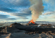
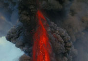
Isau-Isau Volcano
Updated: Apr 26, 2025 01:07 GMT -
Unknown
Indonesia, -3.97°S / 103.64°E 
Summit height: 1422 m / 4665 ft
Current status: (probably) extinct (0 out of 5)
[smaller] [larger]
Isau-Isau volcano eruptions: None during the past 10,000 years
Less than few million years ago (Pleistocene)
Latest nearby earthquakes
| Date and Time | Mag / Depth | Distance / Location | |||
|---|---|---|---|---|---|
Background
Isau-Isau is of Quaternary age, and though it was a predominantly andesitic volcano, it is part of the Pasoemah Highland ignimbrite complex (van Bemmelen 1949b; Westerveld, 1952). The edifice is mostly surrounded by andesites, dacites, and basalts from Isau-Isau and the surrounding stratovolcanos (Westerveld, 1952).---
Source: Smithsonian / GVP volcano information
Latest satellite images
Isau-Isau Volcano Maps
Below is a selection of maps showing the location and surroundings of the volcano at various resolutions based on aerial-imagery / terrain maps. Feel free to use them for non-commercial purposes on your blog or website as long as you credit them with a link back to this page (click to copy it).
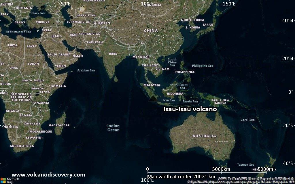
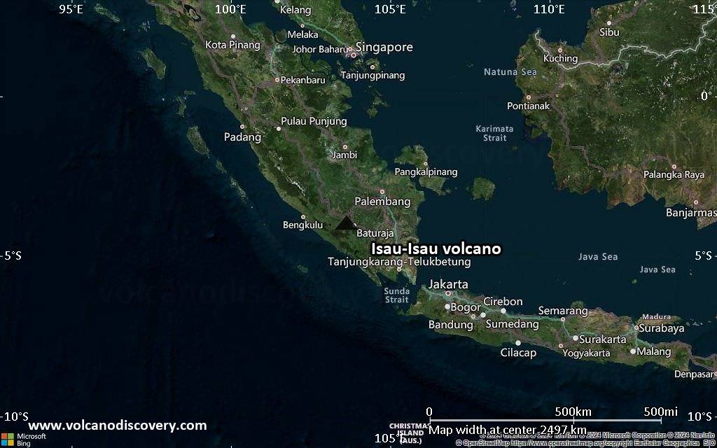
Satellite/aerial-type map of Isau-Isau volcano (world scale)
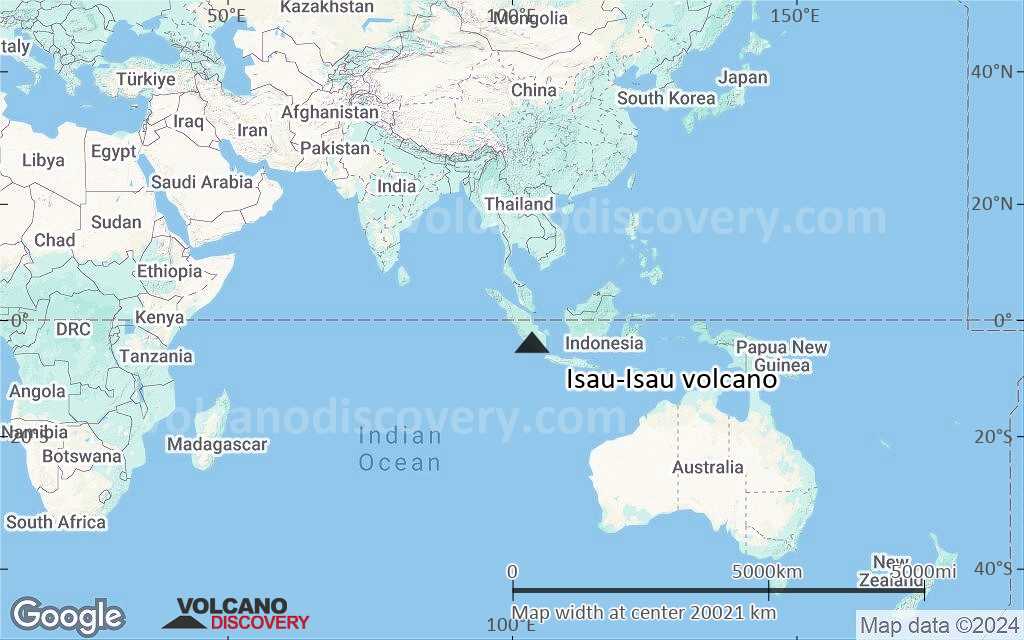
Terrain-type map of Isau-Isau volcano (world scale)
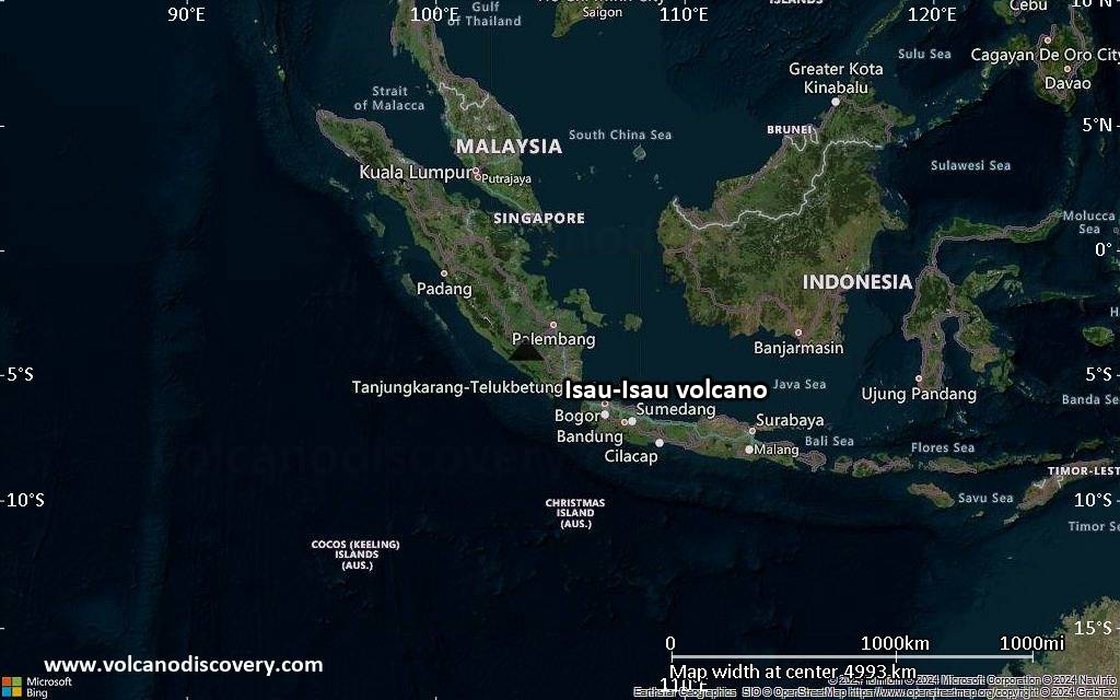
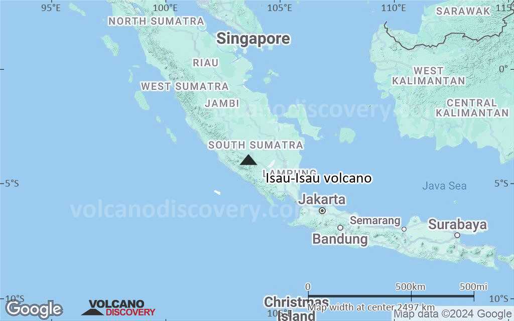
Satellite/aerial-type map of Isau-Isau volcano (region scale large)
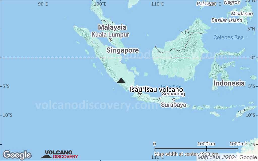
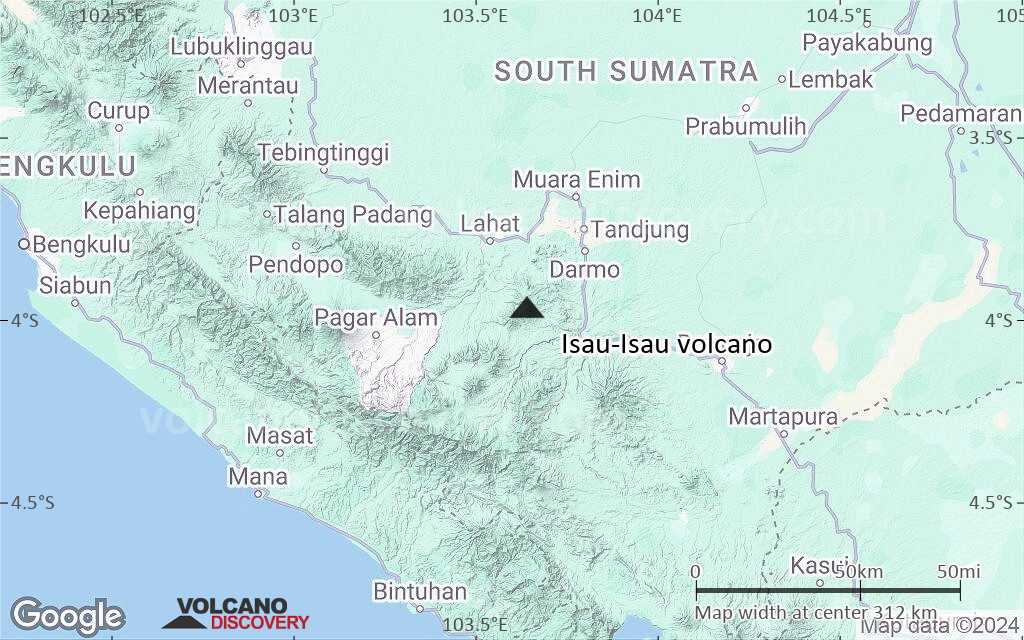
Terrain-type map of Isau-Isau volcano (region scale large)
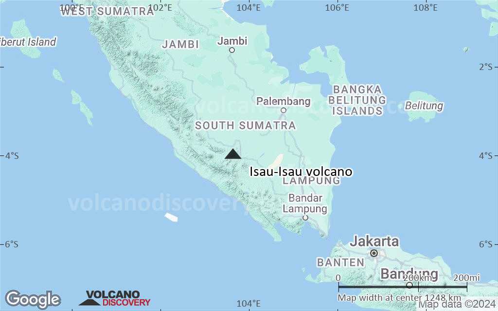
Satellite/aerial-type map of Isau-Isau volcano (region scale medium)
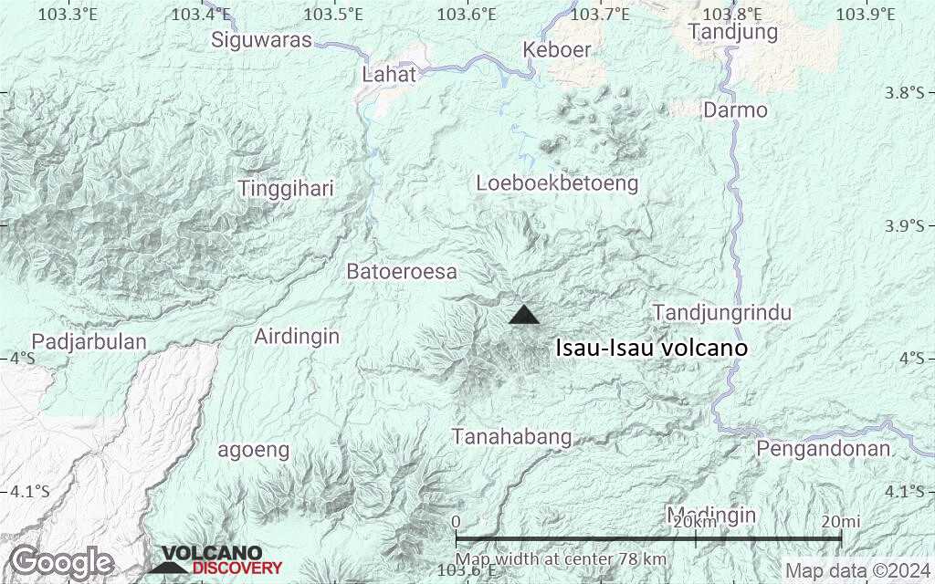
Terrain-type map of Isau-Isau volcano (region scale medium)

Satellite/aerial-type map of Isau-Isau volcano (region scale small)
Terrain-type map of Isau-Isau volcano (region scale small)

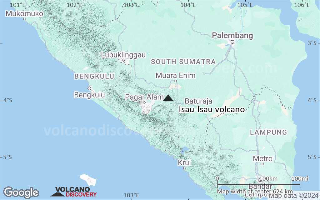
Satellite/aerial-type map of Isau-Isau volcano (local scale large)
Terrain-type map of Isau-Isau volcano (local scale large)

Satellite/aerial-type map of Isau-Isau volcano (local scale medium)
Terrain-type map of Isau-Isau volcano (local scale medium)

Satellite/aerial-type map of Isau-Isau volcano (local scale small)

Terrain-type map of Isau-Isau volcano (local scale small)

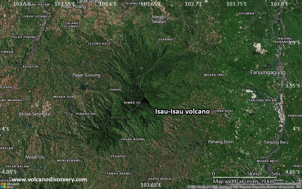
Satellite/aerial-type map of Isau-Isau volcano (scale of 10s of km)
Terrain-type map of Isau-Isau volcano (scale of 10s of km)
Satellite/aerial-type map of Isau-Isau volcano (scale of 20-40 km)

Terrain-type map of Isau-Isau volcano (scale of 20-40 km)

Satellite/aerial-type map of Isau-Isau volcano (scale of approx. 10-20 km)

Terrain-type map of Isau-Isau volcano (scale of approx. 10-20 km)
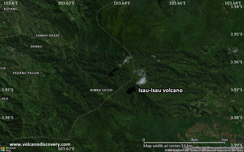
Satellite/aerial-type map of Isau-Isau volcano (scale of 5-10 km)

Satellite/aerial-type map of Isau-Isau volcano (scale of few kilometers)