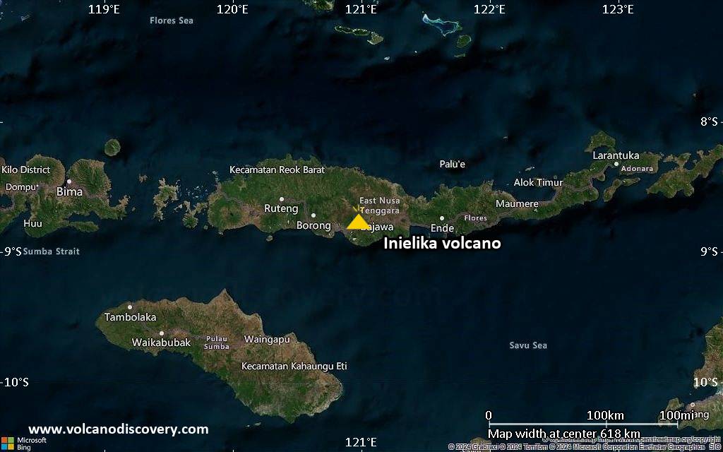
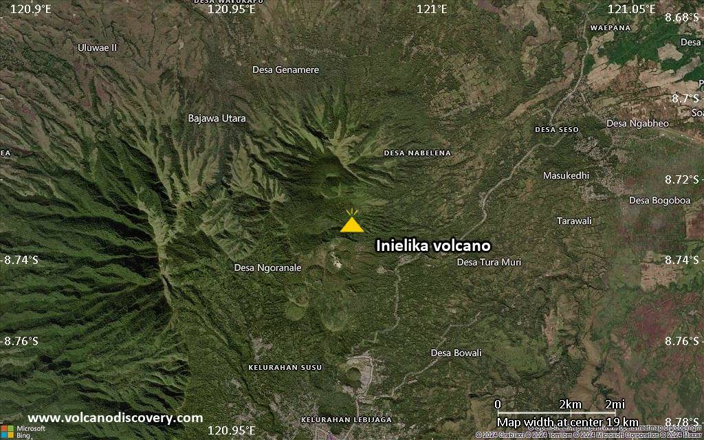
| RSS | EN | DE | EL | ES | FR | IT | RU

Inielika Volcano

Updated: Mar 29, 2025 04:50 GMT -
complex volcano
Flores (Indonesia), -8.73°S / 120.98°E
Summit height: 1559 m / 5,115 ft
Current status: restless (2 out of 5)
Last update: 20 Mar 2024 (Smithsonian / USGS Weekly Volcanic Activity Report)

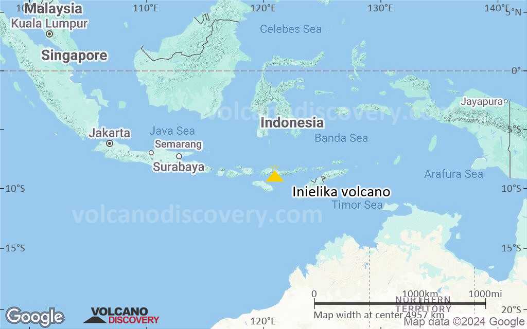
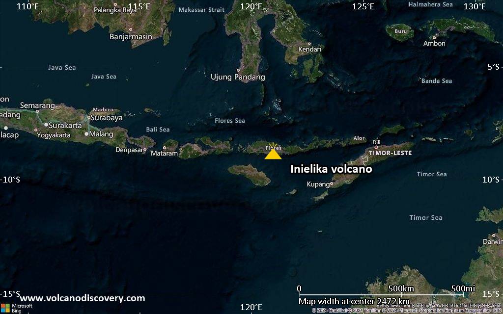
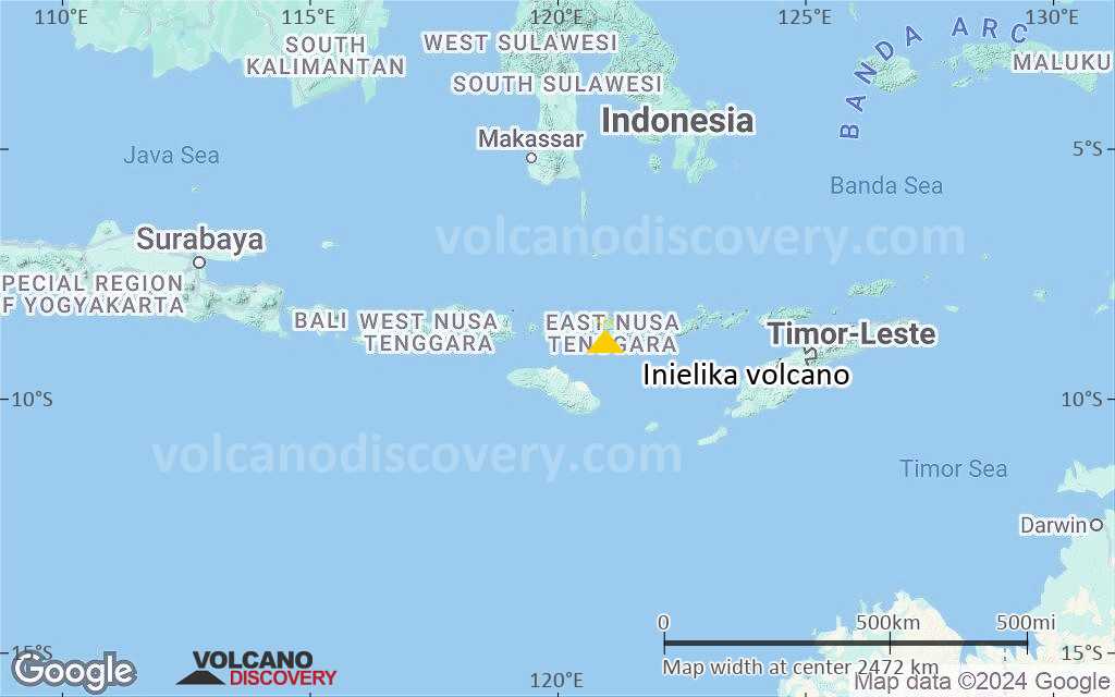
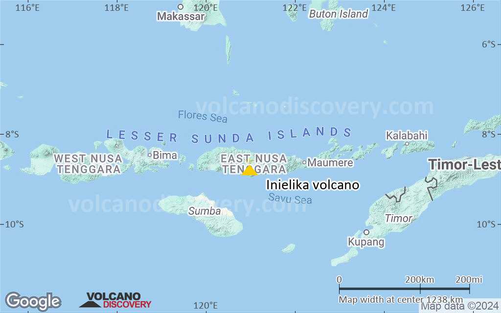
Inielika volcano in central Flores is a broad, low volcano constructed within the Lobobutu caldera. It covers an area of 190 sq km. The first historical eruption of Inielika was a phreatic explosion that formed a new crater in 1905.

[smaller] [larger]
Typical eruption style: Explosive
Inielika volcano eruptions: 2001, 1908, 1905

Latest nearby earthquakes

Date and TimeMag / DepthDistance / Location

Background

The complex summit of 1559-m-high Inielika volcano contains 10 craters, some of which are lake filled, located in a 5-sq-km area north of the city of Bajawa. The largest of these, Wolo Runu and Wolo Lega North, are 750 m wide. A chain of cinder cones, the Bajawa cinder cone complex, extends southward to Ineri volcano.

Significant volcanic eruptions: Inielika volcano

In the past 10,000 years, Inielika has had at least 2 confirmed eruptions, all documented by historical records or observations.
The table below lists all known eruptions (date in bold face) of Inielika volcano in historic times and during the past 10,000 years. Updates on the most recent volcanic activity of Inielika can be found on the news page of Inielika volcano.
DateNoteVEIDeathsDamage
2001 Jan 11 - Mar 16 ±15 d.Summit crater complex
Historical obs./docs.
2
1905 Nov
Historical obs./docs.
2
Remark:
Our list of volcanic eruptions closely follows the database of eruptions of the Smithsonian's Global Volcanism Project (GVP), the internationally most recognized data source for volcanic eruptions, but also includes significant eruptive episodes or related volcano events. "Volcanic eruptions" are usually to be understood as sequences of individual eruptive episodes that can follow each other, or even overlap (if several vents are involved), and can last many years, decades or even longer. For example, the current activity of Stromboli volcano is understood as a single eruption that has been ongoing since 1934.
Sources: NOAA National Centers for Environmental Information (NCEI), Global Significant Volcanic Eruptions Database. doi:10.7289/V5TD9V7K | Global Volcanism Project / Smithsonian Institution

Eruptions of Inielika volcano


1991 eruption
Inielika volcano erupted between 11-16 January 2001. Numerous explosions, some with thundering sounds audible up to 8 km away produced ash plumes that reached heights of 1 km above the volcano, causing light ash fall in the immediate surroundings up to ca. 10 km distance.
2 new craters were formed by the (phreatic?) explosions, the larger one to the SE 50 m wide and 10 m deep, and a smaller crater to the NW 20 m wide and 1 m deep.

Inielika Volcano FAQ

+When was the last eruption of Inielika volcano?

+How often does Inielika volcano erupt?

+How active is Inielika volcano at present?

+When was the largest eruption of Inielika volcano?

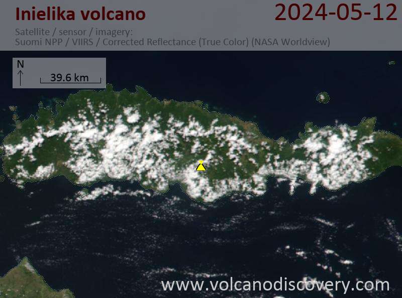
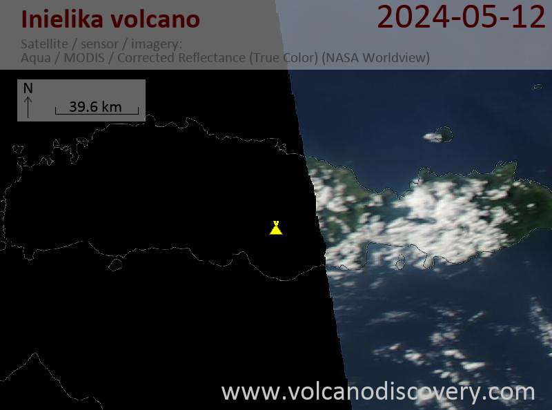
Latest satellite images

Inielika satellite image sat1Inielika satellite image sat2

Inielika Volcano Maps

Below is a selection of maps showing the location and surroundings of the volcano at various resolutions based on aerial-imagery / terrain maps. Feel free to use them for non-commercial purposes on your blog or website as long as you credit them with a link back to this page (click to copy it).
Satellite/aerial-type map of Inielika volcano (world scale)
Terrain-type map of Inielika volcano (world scale)
Satellite/aerial-type map of Inielika volcano (region scale large)
Terrain-type map of Inielika volcano (region scale large)
Satellite/aerial-type map of Inielika volcano (region scale medium)
Terrain-type map of Inielika volcano (region scale medium)
Satellite/aerial-type map of Inielika volcano (region scale small)
Terrain-type map of Inielika volcano (region scale small)
Satellite/aerial-type map of Inielika volcano (local scale large)
Terrain-type map of Inielika volcano (local scale large)
Satellite/aerial-type map of Inielika volcano (local scale medium)
Terrain-type map of Inielika volcano (local scale medium)
Satellite/aerial-type map of Inielika volcano (local scale small)
Terrain-type map of Inielika volcano (local scale small)
Satellite/aerial-type map of Inielika volcano (scale of 10s of km)
Terrain-type map of Inielika volcano (scale of 10s of km)
Satellite/aerial-type map of Inielika volcano (scale of 20-40 km)
Terrain-type map of Inielika volcano (scale of 20-40 km)
Satellite/aerial-type map of Inielika volcano (scale of approx. 10-20 km)
Terrain-type map of Inielika volcano (scale of approx. 10-20 km)
Satellite/aerial-type map of Inielika volcano (scale of 5-10 km)
Satellite/aerial-type map of Inielika volcano (scale of few kilometers)
Volcanoes & Earthquakes - new app for Android
Guaranteed tours
6-19 Apr 2025: Desert, salt and volcanoes - Danakil desert (Ethiopia)
12-19 Apr 2025: Europe's Volcanic Outpost - Canary Islands
9-25 Jun 2025: Volcanoes and Spices - Sulawesi/Halmahera (Indonesia)
27 Jun - 6 Jul 2025: Iceland Volcano Special - Iceland
7-23 Jul 2025: Volcanoes and Spices - Sulawesi/Halmahera (Indonesia)
1-17 Aug 2025: Volcanoes and Spices - Sulawesi/Halmahera (Indonesia)
13-26 Sep 2025: Green Volcanoes - Azores (Portugal)
1-14 Oct 2025: Desert, salt and volcanoes - Danakil desert (Ethiopia)
4-12 Oct 2025: From Stromboli to Etna - Sicily and Eolian Islands (Italy)
= spaces available   = guaranteed   = few spaces left   = booked out
Wed, 20 Mar 2024, 15:00

Inielika volcano (Flores Island) - Smithsonian / USGS Weekly Volcanic Activity Report for 13 March-19 March 2024 (Continuing Activity)

PVMBG lowered the Alert Level for Inielika to 1 (on a scale of 1-4) at 1100 on 16 March, noting that unrest had decreased based on visual observations, seismicity, and geochemistry data. The public was warned to stay at least 500 m away from the summit crater and to avoid solfatara zones and hot springs. ... Read all
Thu, 14 Mar 2024, 11:00

Inielika volcano (Flores Island) - Smithsonian / USGS Weekly Volcanic Activity Report for 13 March-19 March 2024 (Continuing Activity)

PVMBG lowered the Alert Level for Inielika to 1 (on a scale of 1-4) at 1100 on 16 March, noting that unrest had decreased based on visual observations, seismicity, and geochemistry data. The public was warned to stay at least 500 m away from the summit crater and to avoid solfatara zones and hot springs. ... Read all

On this page:

Why is there advertising on this site?
Sources: VolcanoDiscovery / VolcanoAdventures and other sources as noted.
Use of material: Most text and images on our websites are owned by us. Re-use is generally not permitted without authorization. Contact us for licensing rights.
Volcanoes & Earthquakes
VolcanoDiscovery Home
Volcanoes | Earthquakes | Photos | Volcano News | App
Adventure & Study Travel
Tours to Volcanoes and Volcanic Areas: walking tours, photo tours, study tours
Tours & Dates | FAQ | About us
Get our newsletter!
Company info
Contact | Legal info | Terms & conditions
Follow us
Follow us on facebook Follow us on Instagram Follow us on Bluesky Follow us on Twitter Visit our Youtube channel
EN | DE | EL | ES | FR | IT | RU
VolcanoDiscovery GmbH, Germany, Reg. nr.: HRB 103744, EU Tax Id: DE 297 465 123 owned and created by
Dr. Tom Pfeiffer, volcanologist, volcano photographer, tour organizer member of
IAVCEI
IAVCEI
Vulkanologische Gesellschaft
Volcanological Society
Ecotourism Greece
Ecotourism Greece
RUV insurance
Insured by R+V
VolcanoDiscovery © 2004- All Rights Reserved | Privacy - Cookie Settings