| RSS | EN | DE | EL | ES | FR | IT | RU

Heard Volcano

Updated: Apr 2, 2025 11:20 GMT -
Stratovolcano
Australia, Southern Indian Ocean, -53.11°S / 73.51°E
Summit height: 2745 m / 9,006 ft
Current status: restless (2 out of 5)
Last update: 26 Jan 2024 (eruption continues with lava flow)
NASA Earth Observatory image of Hear Island taken on 13 Oct 2012 by Robert Simmon, using EO-1 ALI data from the NASA EO-1 team and USGS Global Visualization Viewer (NASA earth observatory http://earthobservatory.nasa.gov/NaturalHazards/view.php?id=79484)

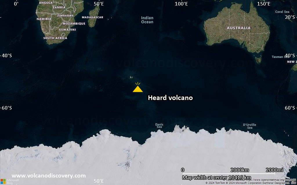
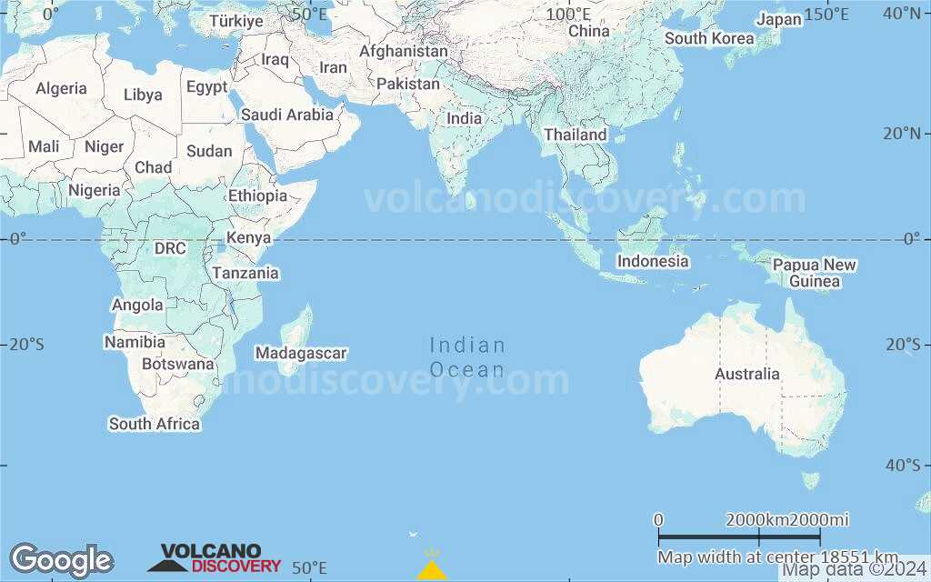
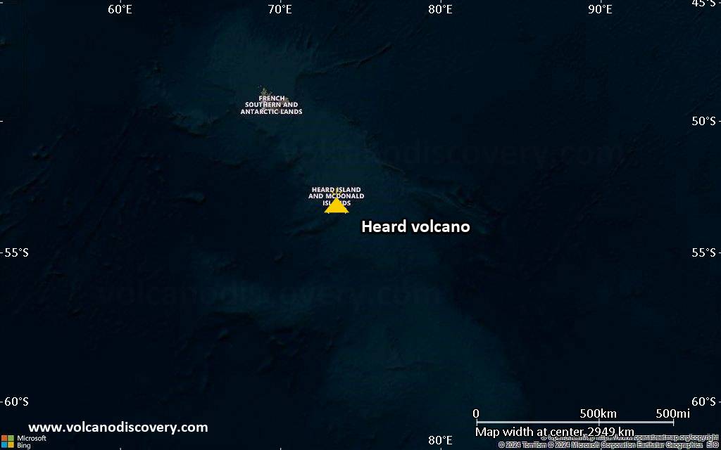
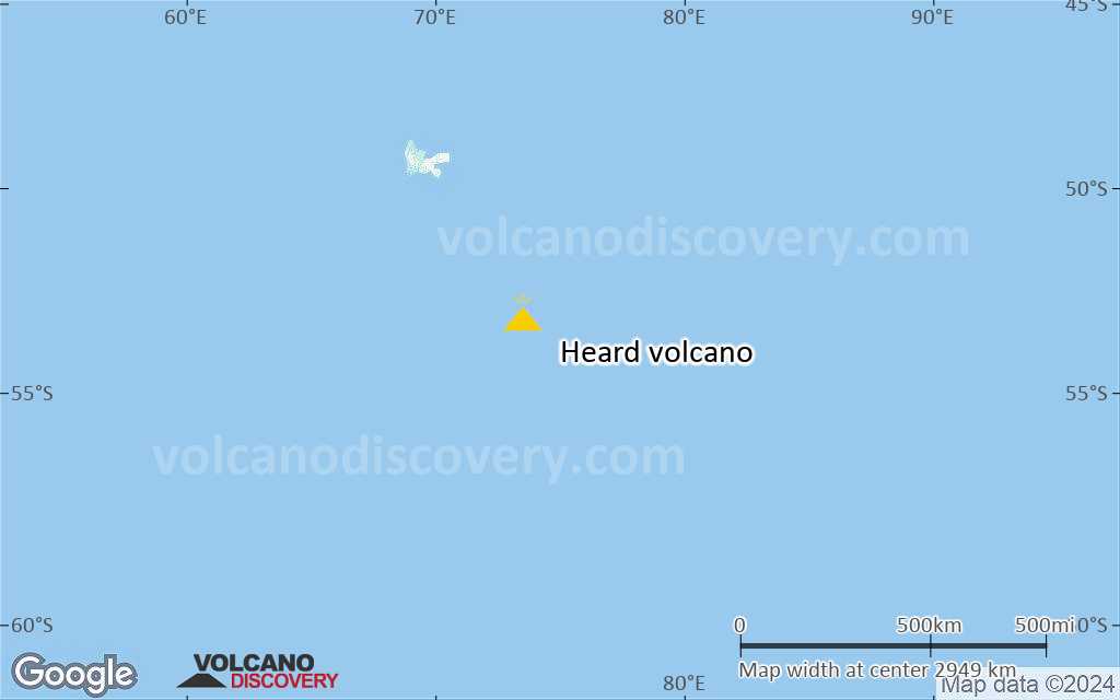
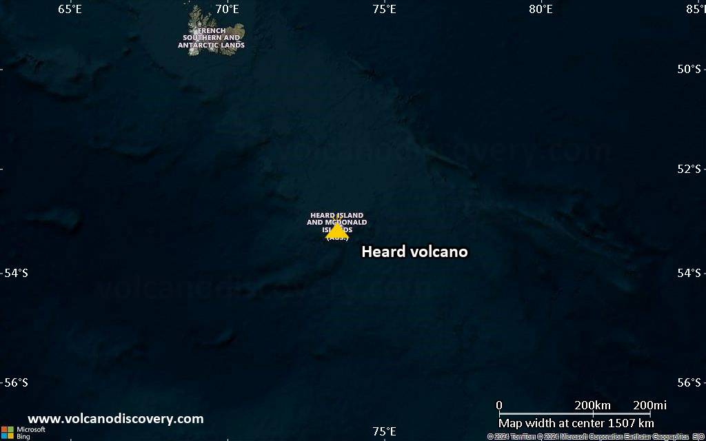
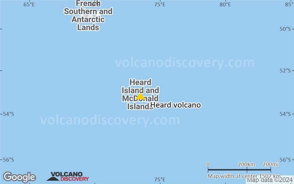
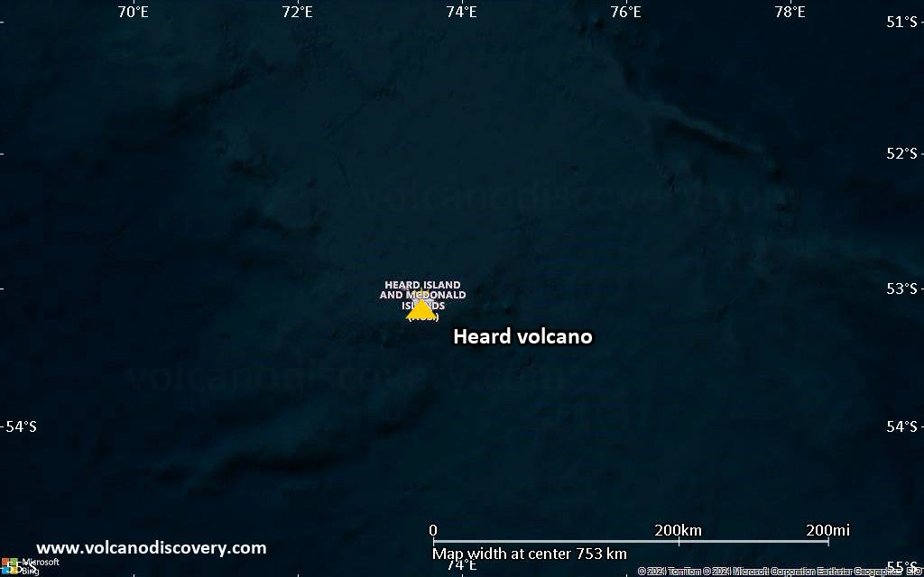
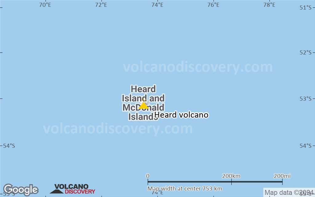
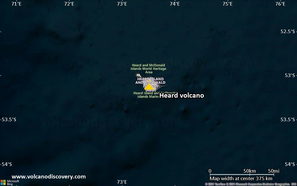
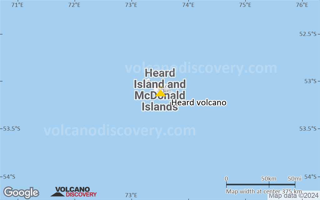
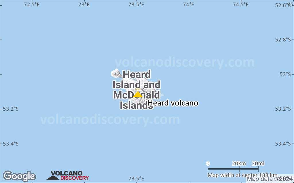
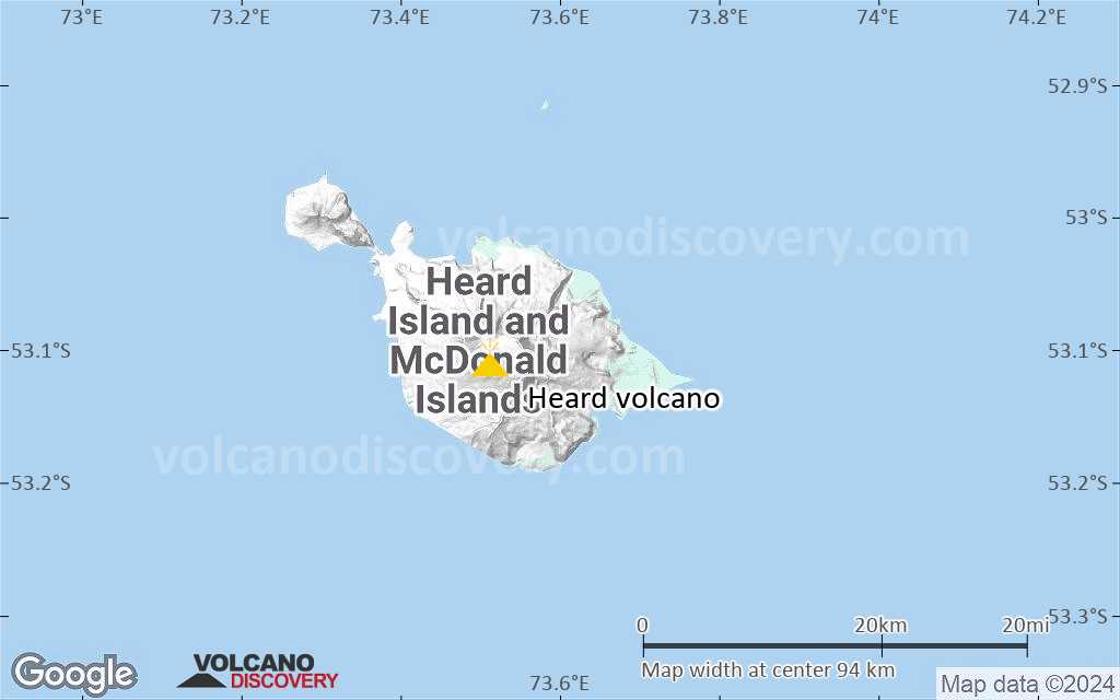
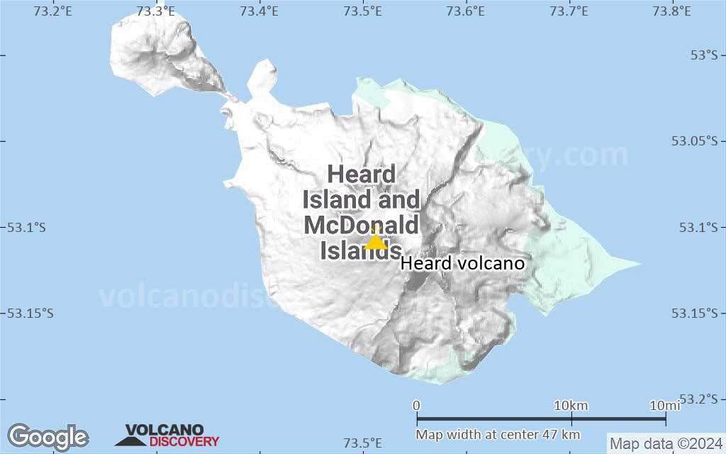
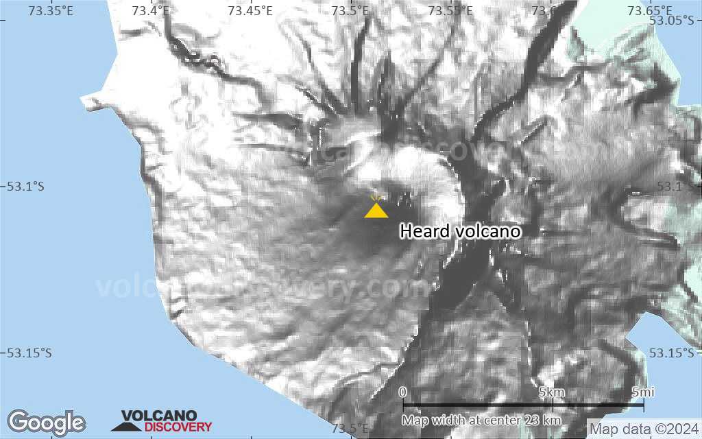
Heard Island is the top of an active stratovolcano on the Kerguelen Plateau in the southern Indian Ocean, about 4000 km southwest of Western Australia. Part of Australian territory, along with McDonald Island to the west, Heard is one of Australia's two currently active volcanoes.
The volcano is frequently active, and occasional reports of eruptions date back to 1881. Since about 1980, remote sensing mostly via satellites has been able to detect more and frequent activity at the volcano.
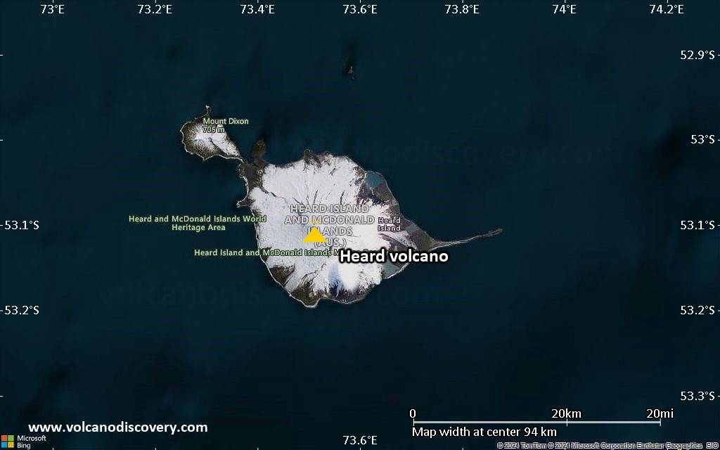
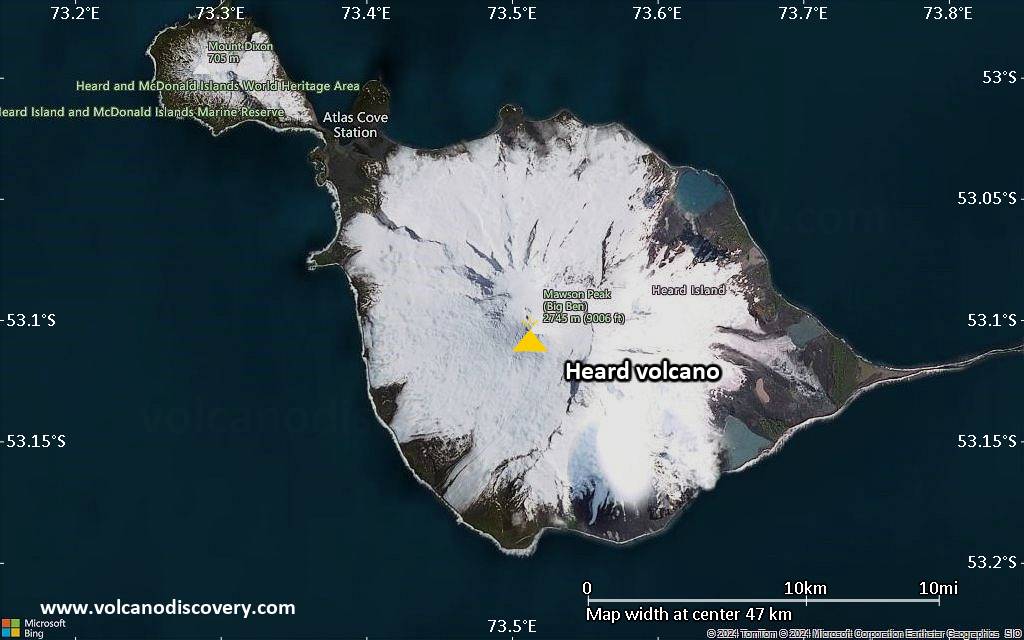
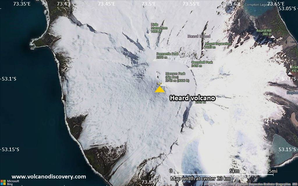
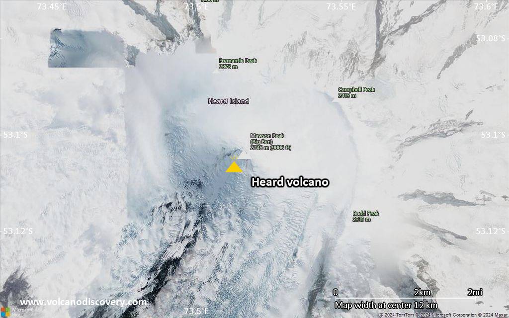
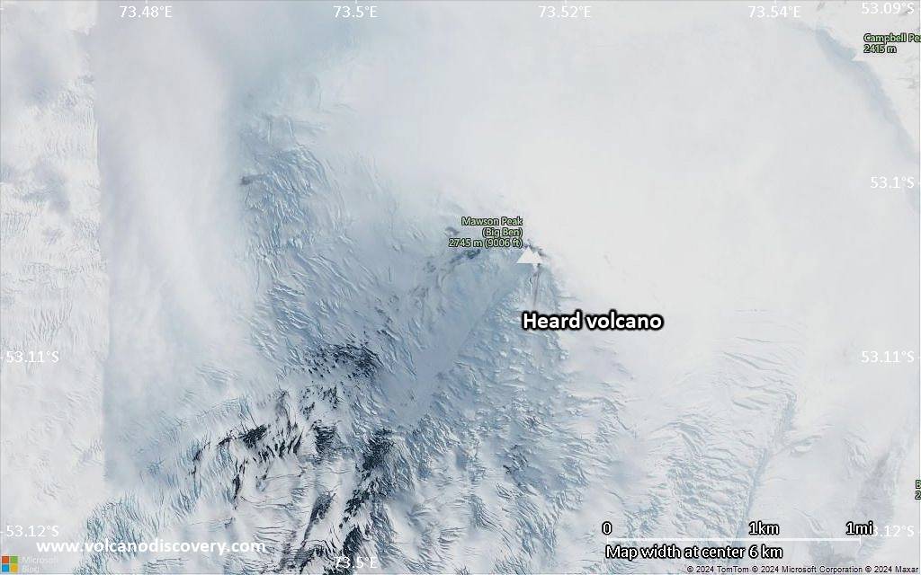
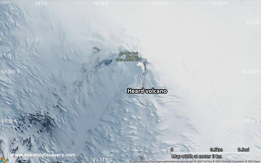
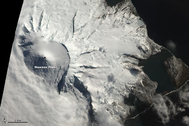
The 368 sq km island with its highest point Mawson Peak at 2745 m forms the highest point of Australian territory outside Antarctica.
The uninhabited island was discovered by and named after Captain John Heard in 1853. Its remote location and typically extremely adverse weather and wind conditions make it difficult to access and only few expeditions have reached it. An Australian navy base existed on the island at Atlas Cove on the western side of Big Ben between December 1947 and March 1955.

[smaller] [larger]
Typical eruption style: unspecified
Heard volcano eruptions: 2019, 2018 (?), 2017, 2016, 2015, 2014, 2012-13, 2006-08, 2003-04, 2000-01, 1993, 1992 (May), 1992 (Jan) (?), 1985-87, 1954, 1953, 1950-52, 1910, 1881 (?)

Latest nearby earthquakes

Date and TimeMag / DepthDistance / Location

Background

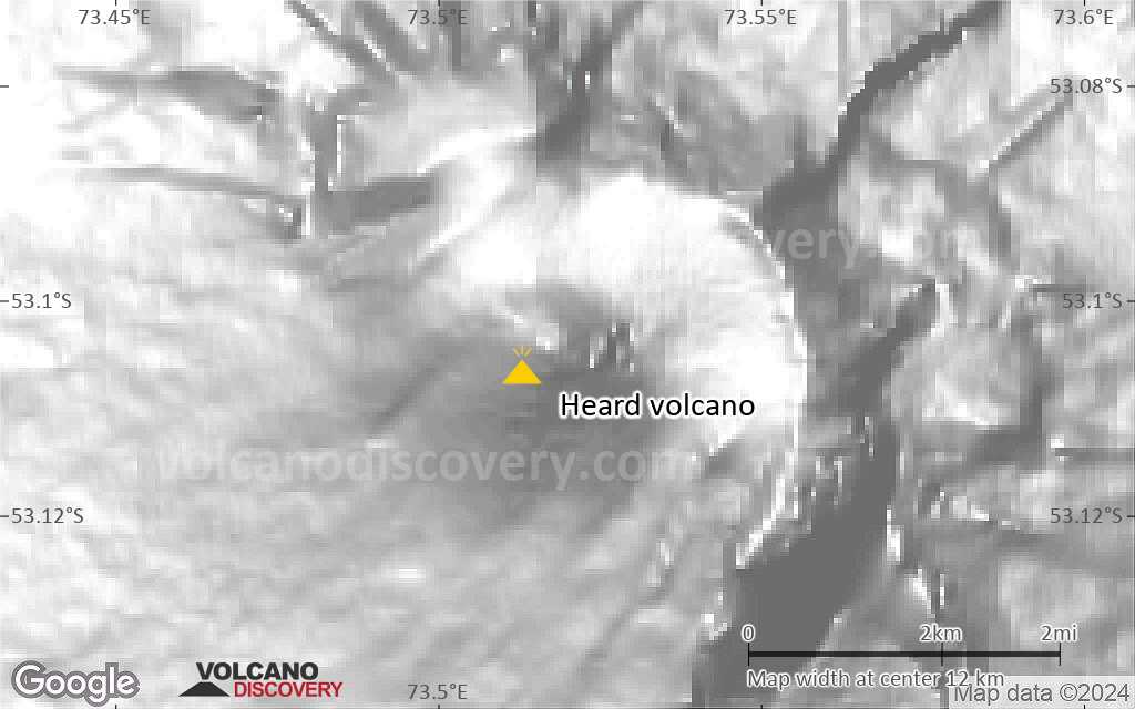
Heard Island on the Kerguelen Plateau in the southern Indian Ocean consists primarily of the emergent portion of two volcanic structures. The large glacier-covered composite basaltic-to-trachytic cone of Big Ben comprises most of the island, and the smaller Mt. Dixon volcano lies at the NW tip of the island across a narrow isthmus. Little is known about the structure of Big Ben volcano because of its extensive ice cover. The historically active Mawson Peak forms the island's 2745-m high point and lies within a 5-6 km wide caldera breached to the SW side of Big Ben. Small satellitic scoria cones are mostly located on the northern coast. Several subglacial eruptions have been reported in historical time at this isolated volcano, but observations are infrequent and additional activity may have occurred.
---
Smithsonian / GVP volcano information

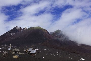
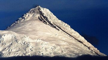
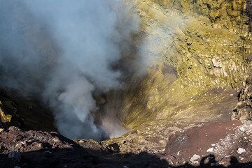
Heard Volcano Photos

Significant volcanic eruptions: Heard volcano

In the past 10,000 years, Heard has had at least 11 confirmed eruptions, all documented by historical records or observations. Additionally, there are 2 uncertain or discredited eruptions from Heard volcano.
The table below lists all known eruptions (date in bold face) of Heard volcano in historic times and during the past 10,000 years. Updates on the most recent volcanic activity of Heard can be found on the news page of Heard volcano.
DateNoteVEIDeathsDamage
2012 Sep 5 ±4 d. - ongoingMawson Peak
Historical obs./docs.
0
2006 Mar 11 - 2008 Mar 3Mawson Peak
Historical obs./docs.
0
2003 Jun 9 - 2004 Jun 14Mawson Peak
Historical obs./docs.
0
2000 Mar 7 ? - 2001 Feb 16 ±15 d.Mawson Peak and upper south flank
Historical obs./docs.
2
1993 Jan 2 ±15 d.Mawson Peak
Historical obs./docs.
2?
1992 May 29 ?Mawson Peak
Historical obs./docs.
0
?? 1992 Jan 17 - Jan 18
Uncertain Eruption
?
1985 Jan 14 - 1987 Jan 16 ±15 d.Mawson Peak
Historical obs./docs.
2?
1954 Apr 13 ? - Jun 13 ?Mawson Peak
Historical obs./docs.
2
1953 Aug 20 - Nov 18Mawson Peak
Historical obs./docs.
2
1950 Jan 24 - 1952 Mar 12 ?Mawson Peak
Historical obs./docs.
2
1910 Mar - AprMawson Peak
Historical obs./docs.
2
?? 1881 Jun 2
Uncertain Eruption
2
Remark:
Our list of volcanic eruptions closely follows the database of eruptions of the Smithsonian's Global Volcanism Project (GVP), the internationally most recognized data source for volcanic eruptions, but also includes significant eruptive episodes or related volcano events. "Volcanic eruptions" are usually to be understood as sequences of individual eruptive episodes that can follow each other, or even overlap (if several vents are involved), and can last many years, decades or even longer. For example, the current activity of Stromboli volcano is understood as a single eruption that has been ongoing since 1934.
Sources: NOAA National Centers for Environmental Information (NCEI), Global Significant Volcanic Eruptions Database. doi:10.7289/V5TD9V7K | Global Volcanism Project / Smithsonian Institution

Heard Volcano FAQ

+When was the last eruption of Heard volcano?

+How often does Heard volcano erupt?

+How active is Heard volcano at present?

+When was the largest eruption of Heard volcano?

Latest satellite images

heard satellite image sat1heard satellite image sat2

Heard Volcano Maps

Below is a selection of maps showing the location and surroundings of the volcano at various resolutions based on aerial-imagery / terrain maps. Feel free to use them for non-commercial purposes on your blog or website as long as you credit them with a link back to this page (click to copy it).
Satellite/aerial-type map of Heard volcano (world scale)
Terrain-type map of Heard volcano (world scale)
Satellite/aerial-type map of Heard volcano (region scale large)
Terrain-type map of Heard volcano (region scale large)
Satellite/aerial-type map of Heard volcano (region scale medium)
Terrain-type map of Heard volcano (region scale medium)
Satellite/aerial-type map of Heard volcano (region scale small)
Terrain-type map of Heard volcano (region scale small)
Satellite/aerial-type map of Heard volcano (local scale large)
Terrain-type map of Heard volcano (local scale large)
Satellite/aerial-type map of Heard volcano (local scale medium)
Terrain-type map of Heard volcano (local scale medium)
Satellite/aerial-type map of Heard volcano (local scale small)
Terrain-type map of Heard volcano (local scale small)
Satellite/aerial-type map of Heard volcano (scale of 10s of km)
Terrain-type map of Heard volcano (scale of 10s of km)
Satellite/aerial-type map of Heard volcano (scale of 20-40 km)
Terrain-type map of Heard volcano (scale of 20-40 km)
Satellite/aerial-type map of Heard volcano (scale of approx. 10-20 km)
Terrain-type map of Heard volcano (scale of approx. 10-20 km)
Satellite/aerial-type map of Heard volcano (scale of 5-10 km)
Satellite/aerial-type map of Heard volcano (scale of few kilometers)
Volcanoes & Earthquakes - new app for Android
Guaranteed tours
6-19 Apr 2025: Desert, salt and volcanoes - Danakil desert (Ethiopia)
12-19 Apr 2025: Europe's Volcanic Outpost - Canary Islands
9-25 Jun 2025: Volcanoes and Spices - Sulawesi/Halmahera (Indonesia)
27 Jun - 6 Jul 2025: Iceland Volcano Special - Iceland
7-23 Jul 2025: Volcanoes and Spices - Sulawesi/Halmahera (Indonesia)
1-17 Aug 2025: Volcanoes and Spices - Sulawesi/Halmahera (Indonesia)
13-26 Sep 2025: Green Volcanoes - Azores (Portugal)
1-14 Oct 2025: Desert, salt and volcanoes - Danakil desert (Ethiopia)
4-12 Oct 2025: From Stromboli to Etna - Sicily and Eolian Islands (Italy)
= spaces available   = guaranteed   = few spaces left   = booked out
Fri, 26 Jan 2024, 07:42

Heard volcano (Australia, Southern Indian Ocean): eruption continues with lava flow

The lava flow on the SW slope at Heard volcano as seen in the latest satellite image (image: Sentinel-2)
The effusive eruption of the volcano continues. Read all
Wed, 3 Jan 2024, 19:00

Heard volcano (Kerguelen Plateau) - Smithsonian / USGS Weekly Volcanic Activity Report for 27 December-2 January 2024 (Continuing Activity)

A 29 December satellite image of Heard Island's Big Ben volcano showed a thermal anomaly at the summit that was elongated to the SW. The anomaly narrowed and terminated at an area that was about 1 km from the summit, suggesting the presence of a lava flow. ... Read all

On this page:

Why is there advertising on this site?
Sources: VolcanoDiscovery / VolcanoAdventures and other sources as noted.
Use of material: Most text and images on our websites are owned by us. Re-use is generally not permitted without authorization. Contact us for licensing rights.
Volcanoes & Earthquakes
VolcanoDiscovery Home
Volcanoes | Earthquakes | Photos | Volcano News | App
Adventure & Study Travel
Tours to Volcanoes and Volcanic Areas: walking tours, photo tours, study tours
Tours & Dates | FAQ | About us
Get our newsletter!
Company info
Contact | Legal info | Terms & conditions
Follow us
Follow us on facebook Follow us on Instagram Follow us on Bluesky Follow us on Twitter Visit our Youtube channel
EN | DE | EL | ES | FR | IT | RU
VolcanoDiscovery GmbH, Germany, Reg. nr.: HRB 103744, EU Tax Id: DE 297 465 123 owned and created by
Dr. Tom Pfeiffer, volcanologist, volcano photographer, tour organizer member of
IAVCEI
IAVCEI
Vulkanologische Gesellschaft
Volcanological Society
Ecotourism Greece
Ecotourism Greece
RUV insurance
Insured by R+V
VolcanoDiscovery © 2004- All Rights Reserved | Privacy - Cookie Settings