


Hasan Dagi Volcano
Updated: Nov 19, 2025 13:52 GMT -
stratovolcano
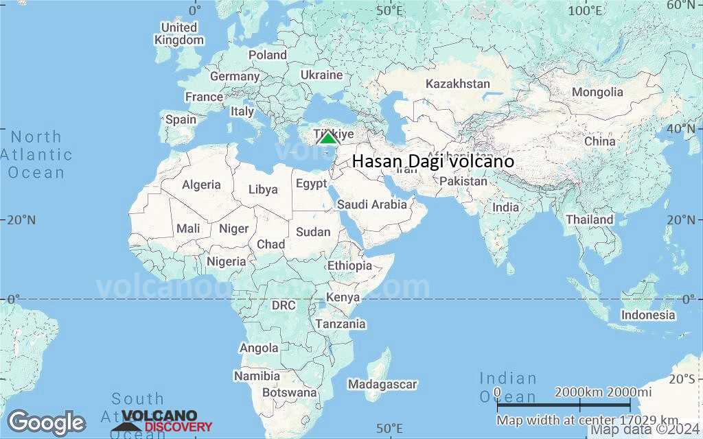
Turkey, 38.13°N / 34.17°E 
Summit height: 3253 m
Current status: normal or dormant (1 out of 5)
The Hasan Dagi is a huge stratovolcano on which caldera collapses took place in ca. 7500-7600 years ago.
[smaller] [larger]
Hasan Dagi volcano eruptions: 7500 years ago
Latest nearby earthquakes
| Date and Time | Mag / Depth | Distance / Location | |||
|---|---|---|---|---|---|
| Nov 8, 11:40 pm (Istanbul) | 3? 10 km | 25 km (15 mi) to the W | Info | ||
Background
The double-peaked stratovolcano Hasan Dagi in Central Anatolia has undergone four episodes of caldera collapse. The latest formed a 4-5 km wide caldera at the summit. The modern edifice is the youngest of four major basaltic-to-rhyolitic volcanic complexes dating back to the mid Miocene and was constructed within the latest caldera. Andesitic-to-dacitic lava domes form the two summits. Lava domes and associated pyroclastic-flow deposits blanket more than half the flanks of the Mount Hasan volcanic complex. A group of more than 25 Quaternary cinder cones, maars, and lava flows dot the plains surrounding Hasan Dagi. Eruptions from Hasan Dagi impacted neolithic communities and were dramatically recorded in paintings that depict apparent caldera formation about 7600-7500 BC.Significant volcanic eruptions: Hasan Dagi volcano
In the past 10,000 years, Hasan Dagi has had only one confirmed historic eruption ###WHEN1###|only one confirmed historic eruption ###WHEN1### and one ###WHEN2### inferred from geological evidence|only one confirmed historic eruption ###WHEN1###, but at least ###NUM_INFERRED### eruptions can be inferred from geological evidence|at least ###NUM_CONFIRMED### confirmed eruptions, all documented by historical records or observations|at least ###NUM_CONFIRMED### confirmed volcanic eruptions, out of which ###NUM_HISTORIC### are documented by historical records, while the others can be inferred from geological evidence.
No historic eruptions are known from Hasan Dagi volcano, but at least one eruption ###WHEN2### can be inferred from geological evidence|evidence from at least ###NUM_CONFIRMED### eruptions during the past 10,000 years can be found in the geological record.
There are only 2 uncertain or discredited eruptions from Hasan Dagi volcano during the past 10,000 years.
The table below lists all known eruptions (date in bold face) of Hasan Dagi volcano in historic times and during the past 10,000 years. Updates on the most recent volcanic activity of Hasan Dagi can be found on the news page of Hasan Dagi volcano.
| Date | Note | VEI | Deaths | Damage | |
|---|---|---|---|---|---|
?? | Uncertain Eruption | ? | |||
?? | Uncertain Eruption | ? | |||
Remark:
Our list of volcanic eruptions closely follows the database of eruptions of the Smithsonian's Global Volcanism Project (GVP), the internationally most recognized data source for volcanic eruptions, but also includes significant eruptive episodes or related volcano events. "Volcanic eruptions" are usually to be understood as sequences of individual eruptive episodes that can follow each other, or even overlap (if several vents are involved), and can last many years, decades or even longer. For example, the current activity of Stromboli volcano is understood as a single eruption that has been ongoing since 1934.
Sources: NOAA National Centers for Environmental Information (NCEI), Global Significant Volcanic Eruptions Database. doi:10.7289/V5TD9V7K | Global Volcanism Project / Smithsonian Institution
Latest satellite images
Hasan Dagi Volcano Maps
Below is a selection of maps showing the location and surroundings of the volcano at various resolutions based on aerial-imagery / terrain maps. Feel free to use them for non-commercial purposes on your blog or website as long as you credit them with a link back to this page (click to copy it).

Satellite/aerial-type map of Hasan Dagi volcano (world scale)
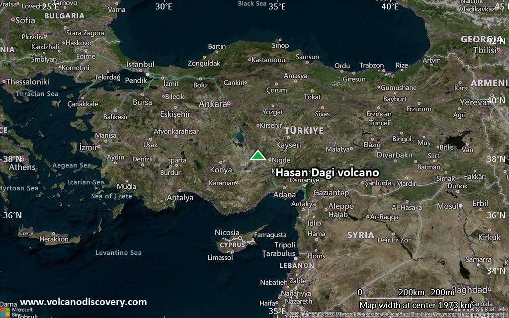
Terrain-type map of Hasan Dagi volcano (world scale)
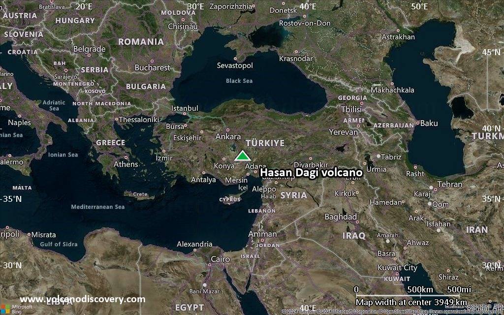
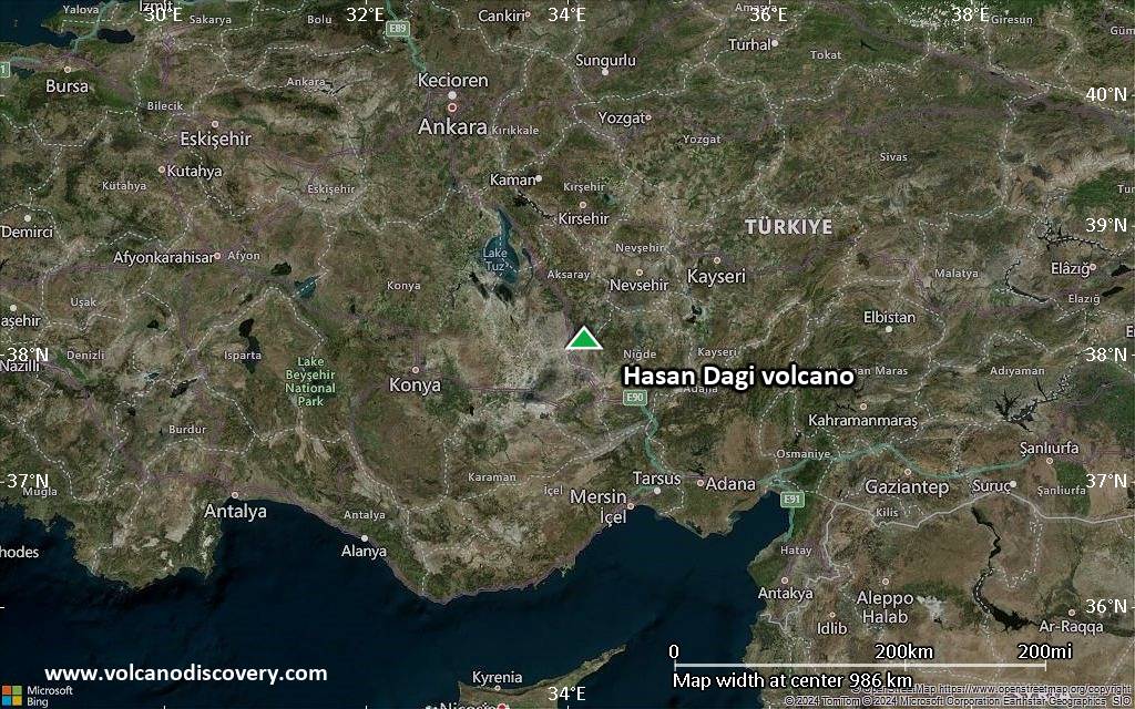
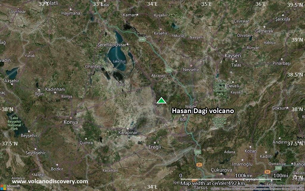
Satellite/aerial-type map of Hasan Dagi volcano (region scale large)
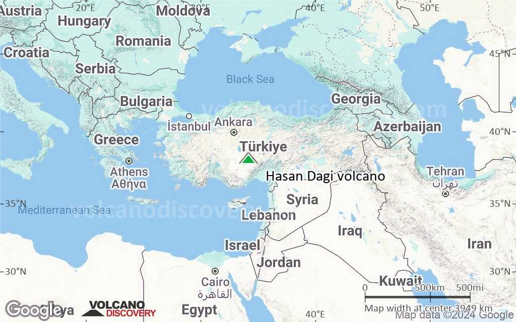
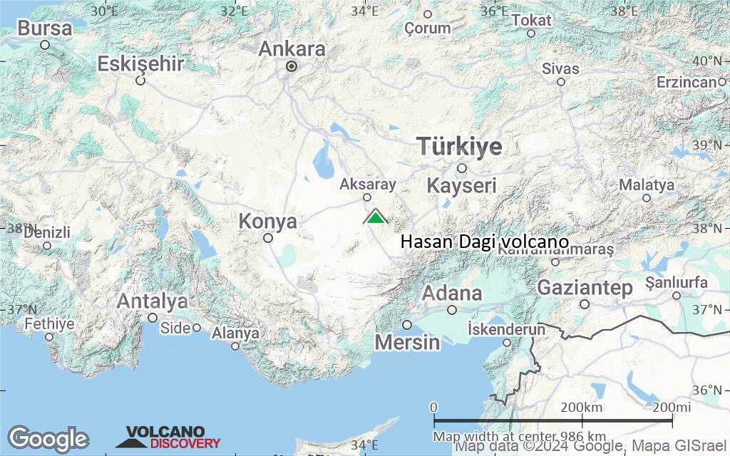
Terrain-type map of Hasan Dagi volcano (region scale large)
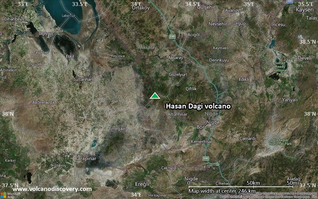
Satellite/aerial-type map of Hasan Dagi volcano (region scale medium)
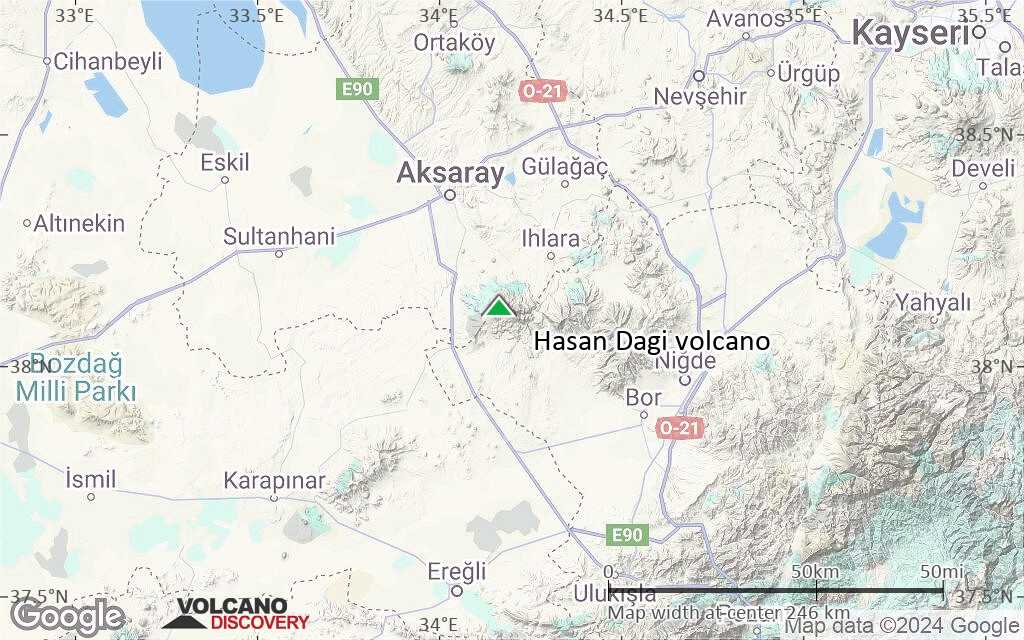
Terrain-type map of Hasan Dagi volcano (region scale medium)
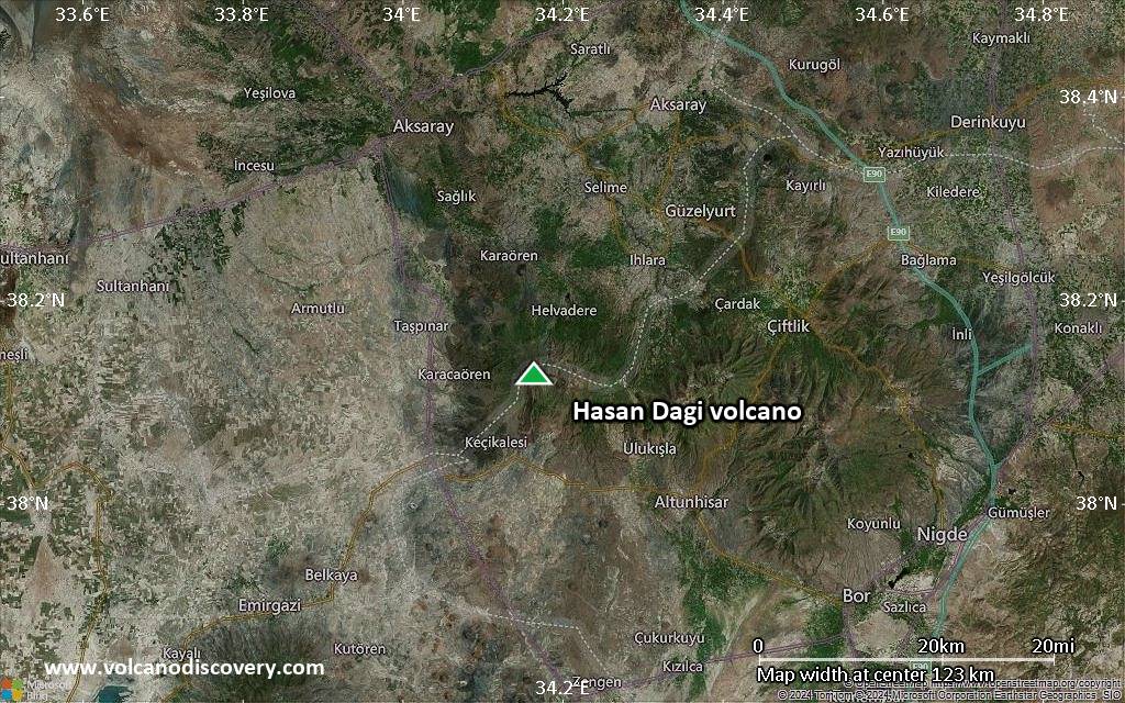
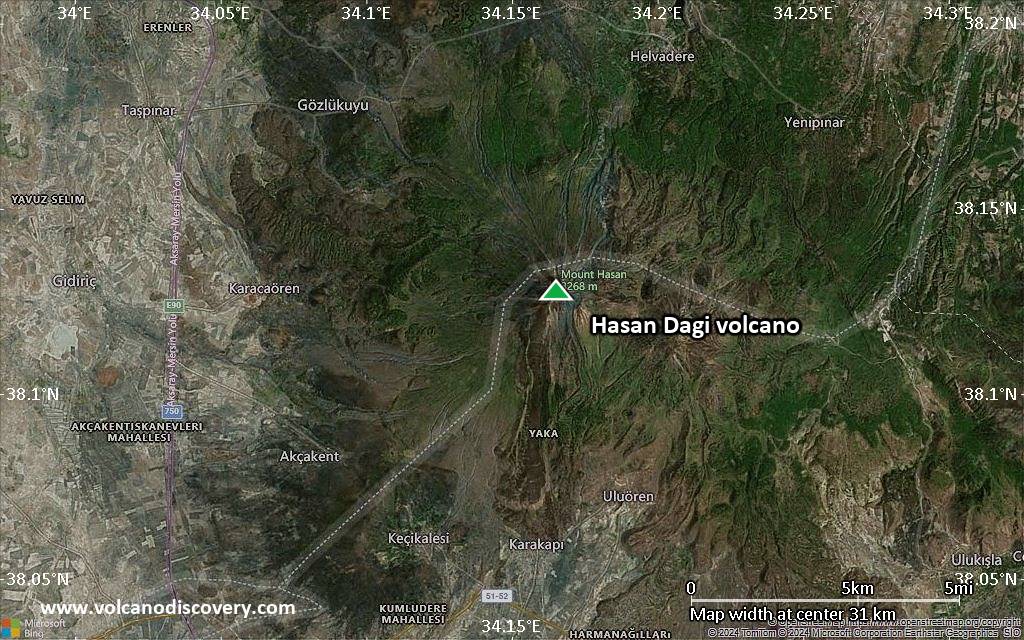
Satellite/aerial-type map of Hasan Dagi volcano (region scale small)
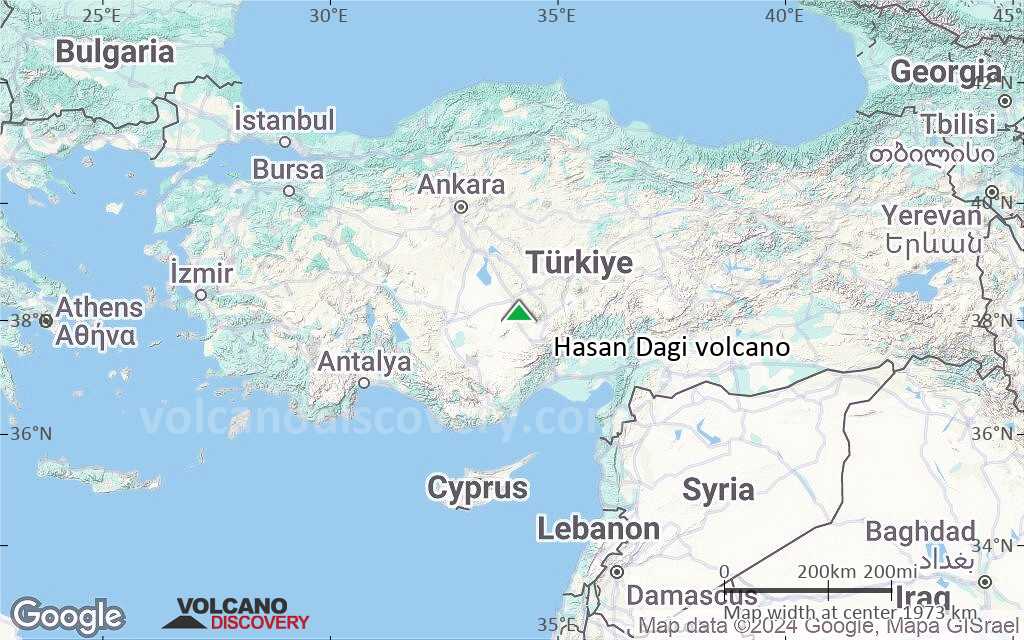
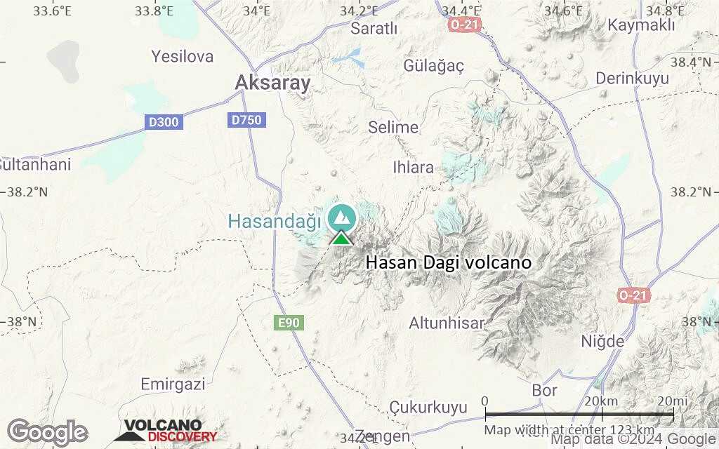
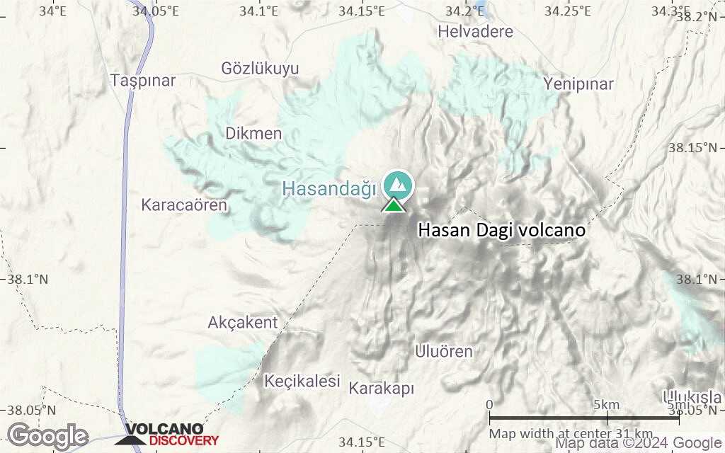
Terrain-type map of Hasan Dagi volcano (region scale small)
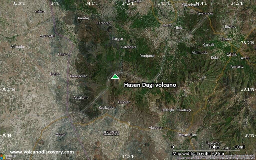
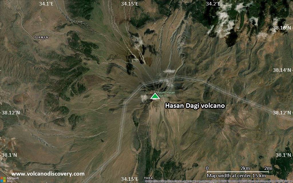
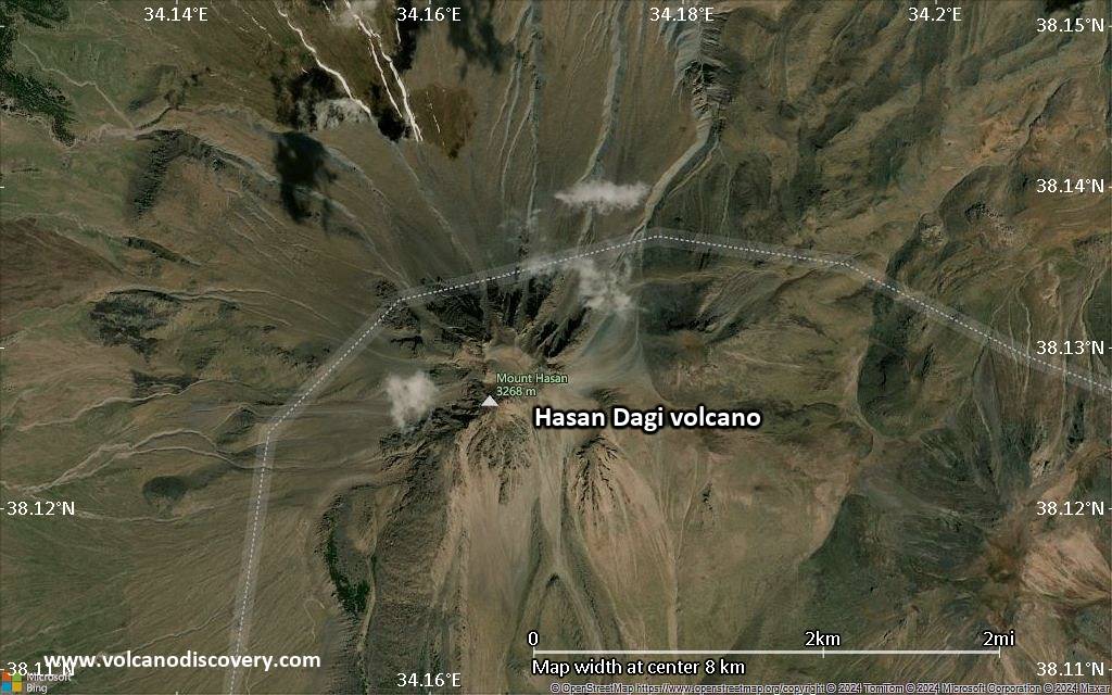
Satellite/aerial-type map of Hasan Dagi volcano (local scale large)

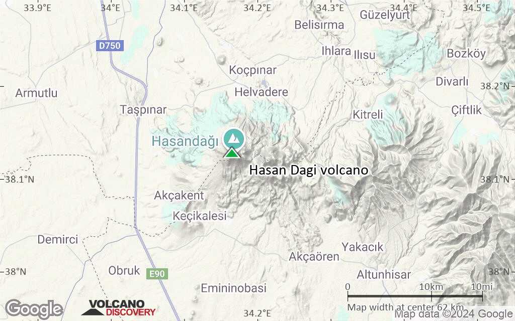
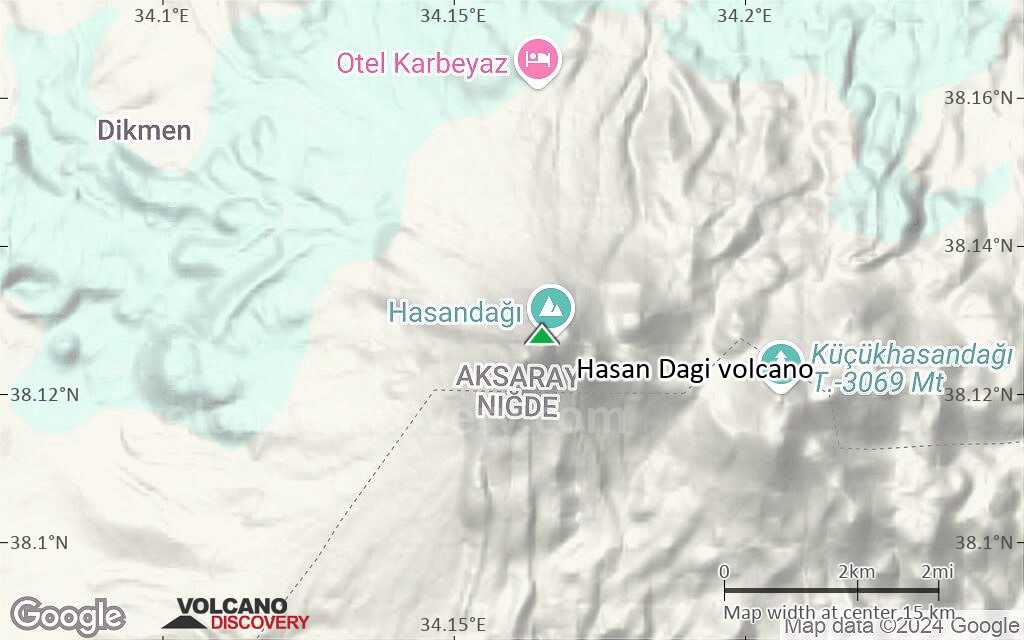
Terrain-type map of Hasan Dagi volcano (local scale large)
Satellite/aerial-type map of Hasan Dagi volcano (local scale medium)
Terrain-type map of Hasan Dagi volcano (local scale medium)
Satellite/aerial-type map of Hasan Dagi volcano (local scale small)
Terrain-type map of Hasan Dagi volcano (local scale small)
Satellite/aerial-type map of Hasan Dagi volcano (scale of 10s of km)
Terrain-type map of Hasan Dagi volcano (scale of 10s of km)
Satellite/aerial-type map of Hasan Dagi volcano (scale of 20-40 km)
Terrain-type map of Hasan Dagi volcano (scale of 20-40 km)
Satellite/aerial-type map of Hasan Dagi volcano (scale of approx. 10-20 km)
Terrain-type map of Hasan Dagi volcano (scale of approx. 10-20 km)
Satellite/aerial-type map of Hasan Dagi volcano (scale of 5-10 km)

Satellite/aerial-type map of Hasan Dagi volcano (scale of few kilometers)


