Göllü Dağ Volcano
Updated: Apr 17, 2025 23:59 GMT -
stratovolcano
Turkey, 38.26°N / 34.55°E 
Summit height: 2143 m
Current status: normal or dormant (1 out of 5)
Göllü Dağ, a 2143-m-high rhyolitic-to-rhyodacitic lava dome complex in central Anatolia, lies between the Hasan Dağ and Acigöl-Nevsehir volcanic complexes.
[smaller] [larger]
Göllü Dağ volcano eruptions: none in historic times
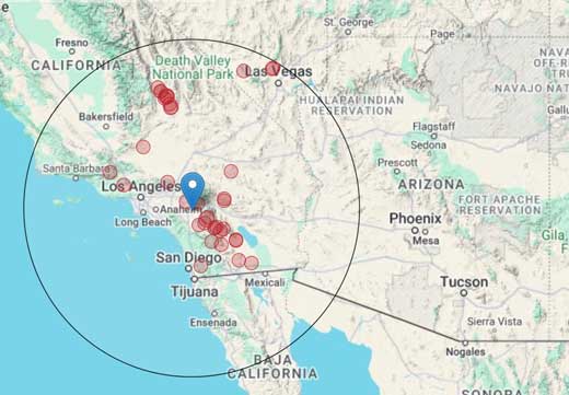
Latest nearby earthquakes
| Date and Time | Mag / Depth | Distance / Location | |||
|---|---|---|---|---|---|
Background
The volcano was active between 1.33 to 0.84 million years ago (Bigazzi et al., 1995). A large number of cinder cones are located adjacent to Göllü Dağ along a along N-S-trending fissures north of the lava dome complex and south of the Erdas Dağ massif. Lava domes and cinder cones overlie the buried silicic Derinkuyu caldera complex of Tertiary age. The hydrothermal alteration and hot springs are present in the Sahin Kalesi resurgent dome complex west of Göllü Dağ and on the southern flank of the Erdas Dağ massif north of Göllü Dağ.Latest satellite images
Göllü Dağ Volcano Maps
Below is a selection of maps showing the location and surroundings of the volcano at various resolutions based on aerial-imagery / terrain maps. Feel free to use them for non-commercial purposes on your blog or website as long as you credit them with a link back to this page (click to copy it).

Satellite/aerial-type map of Göllü Dağ volcano (world scale)

Terrain-type map of Göllü Dağ volcano (world scale)

Satellite/aerial-type map of Göllü Dağ volcano (region scale large)

Terrain-type map of Göllü Dağ volcano (region scale large)

Satellite/aerial-type map of Göllü Dağ volcano (region scale medium)

Terrain-type map of Göllü Dağ volcano (region scale medium)

Satellite/aerial-type map of Göllü Dağ volcano (region scale small)

Terrain-type map of Göllü Dağ volcano (region scale small)

Satellite/aerial-type map of Göllü Dağ volcano (local scale large)

Terrain-type map of Göllü Dağ volcano (local scale large)

Satellite/aerial-type map of Göllü Dağ volcano (local scale medium)

Terrain-type map of Göllü Dağ volcano (local scale medium)

Satellite/aerial-type map of Göllü Dağ volcano (local scale small)

Terrain-type map of Göllü Dağ volcano (local scale small)

Satellite/aerial-type map of Göllü Dağ volcano (scale of 10s of km)

Terrain-type map of Göllü Dağ volcano (scale of 10s of km)

Satellite/aerial-type map of Göllü Dağ volcano (scale of 20-40 km)

Terrain-type map of Göllü Dağ volcano (scale of 20-40 km)

Satellite/aerial-type map of Göllü Dağ volcano (scale of approx. 10-20 km)

Terrain-type map of Göllü Dağ volcano (scale of approx. 10-20 km)

Satellite/aerial-type map of Göllü Dağ volcano (scale of 5-10 km)

Satellite/aerial-type map of Göllü Dağ volcano (scale of few kilometers)


