Garibaldi Volcano
Updated: Apr 2, 2025 22:14 GMT -
stratovolcano
Canada, 49.85°N / -123°W 
Summit height: 2678 m / 8,786 ft
Current status: normal or dormant (1 out of 5)
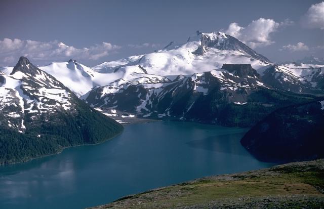
Mount Garibaldi, rising above scenic Garibaldi Lake to the north, is a largely Pleistocene stratovolcano capped by a lava dome complex. The volcano was partially constructed over the Cordilleran ice sheet and displays many ice-contact features. Its final eruptions during the early Holocene included the emission of lava flows that mantled the west-side landside headwall and a massive lava flow from Opal Cone, a SE flank vent, that traveled 20 km to the south and west. Photo by Lee Siebert, 1983 (Smithsonian Institution)
Mt Garibaldi volcano at the head of Howe Sound, 66 km north of Vancouver in SW British Columbia is probably Canada's best-known volcano and part of the active Cascades Range. It is a young stratovolcano capped by a complex of lava domes. Its most recent eruptions occurred at the Opal Cone on the SE flank ca. 8000 years ago and produced the Ring Creek lava flow.
[smaller] [larger]
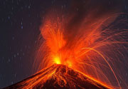
Garibaldi volcano eruptions: 8060 BC ± 500 (radiocarbon dated)
Latest nearby earthquakes
| Date and Time | Mag / Depth | Distance / Location | |||
|---|---|---|---|---|---|
Background
Mount Garibaldi's oldest known products are around half a million years old. Its first period of activity ended about 220,000 years ago and was followed by a period of quiescence. After this interval, a conical plug dome and breccia pile was formed at the south summit, Atwell Peak. Retreat of the ice cap at the end of the ice age left the west flank unsupported, and it collapsed in a series of landslides, exposing the core of the volcano. Lava flows from Dalton Dome north of Atwell Peak flowed down the scarp. Subglacial flank centers such as Eanastick (Enostuck) Meadow, Glacier Pike and Paul Ridge were also formed during the late Pleistocene.The final activity of Mount Garibaldi formed the Opal Cone on the SE flank and the lengthy Ring Creek lava flow, which filled a glaciated valley on the south flank during the early Holocene.
---
Source: GVP volcano information
Garibaldi Volcano Photos
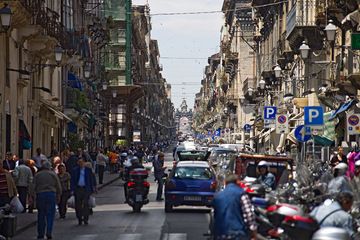
Via Garibaldi in Catania (Photo: Tobias Schorr)
Significant volcanic eruptions: Garibaldi volcano
No historic eruptions are known from Garibaldi volcano, but at least one eruption around 8060 BC can be inferred from geological evidence.
The table below lists all known eruptions (date in bold face) of Garibaldi volcano in historic times and during the past 10,000 years. Updates on the most recent volcanic activity of Garibaldi can be found on the news page of Garibaldi volcano.
| Date | Note | VEI | Deaths | Damage | |
|---|---|---|---|---|---|
| SE flank (Opal Cone) | 3? | ||||
Remark:
Our list of volcanic eruptions closely follows the database of eruptions of the Smithsonian's Global Volcanism Project (GVP), the internationally most recognized data source for volcanic eruptions, but also includes significant eruptive episodes or related volcano events. "Volcanic eruptions" are usually to be understood as sequences of individual eruptive episodes that can follow each other, or even overlap (if several vents are involved), and can last many years, decades or even longer. For example, the current activity of Stromboli volcano is understood as a single eruption that has been ongoing since 1934.
Sources: NOAA National Centers for Environmental Information (NCEI), Global Significant Volcanic Eruptions Database. doi:10.7289/V5TD9V7K | Global Volcanism Project / Smithsonian Institution
Garibaldi Volcano FAQ
+When was the last eruption of Garibaldi volcano?
The last confirmed eruption of Garibaldi occurred around 8060 BC.
+When was the largest eruption of Garibaldi volcano?
The largest eruption known from the younger geological history of Garibaldi volcano occurred around 8060 BC. It only has a VEI (Volcanic Explosivity Index) of , likely because it was a mainly effusive eruption generating lava flows but very little ash.
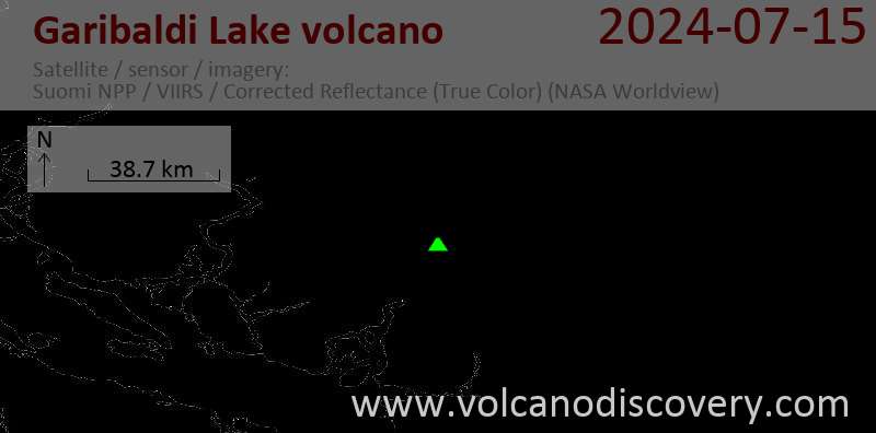
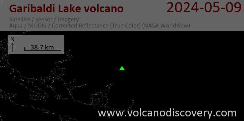
Latest satellite images
Garibaldi Volcano Maps
Below is a selection of maps showing the location and surroundings of the volcano at various resolutions based on aerial-imagery / terrain maps. Feel free to use them for non-commercial purposes on your blog or website as long as you credit them with a link back to this page (click to copy it).
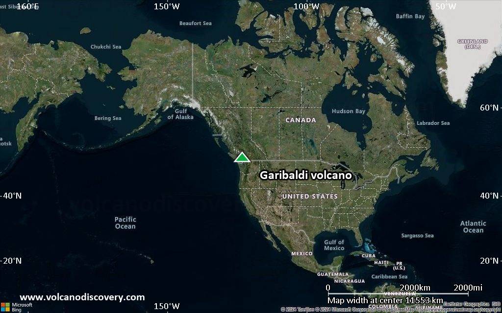
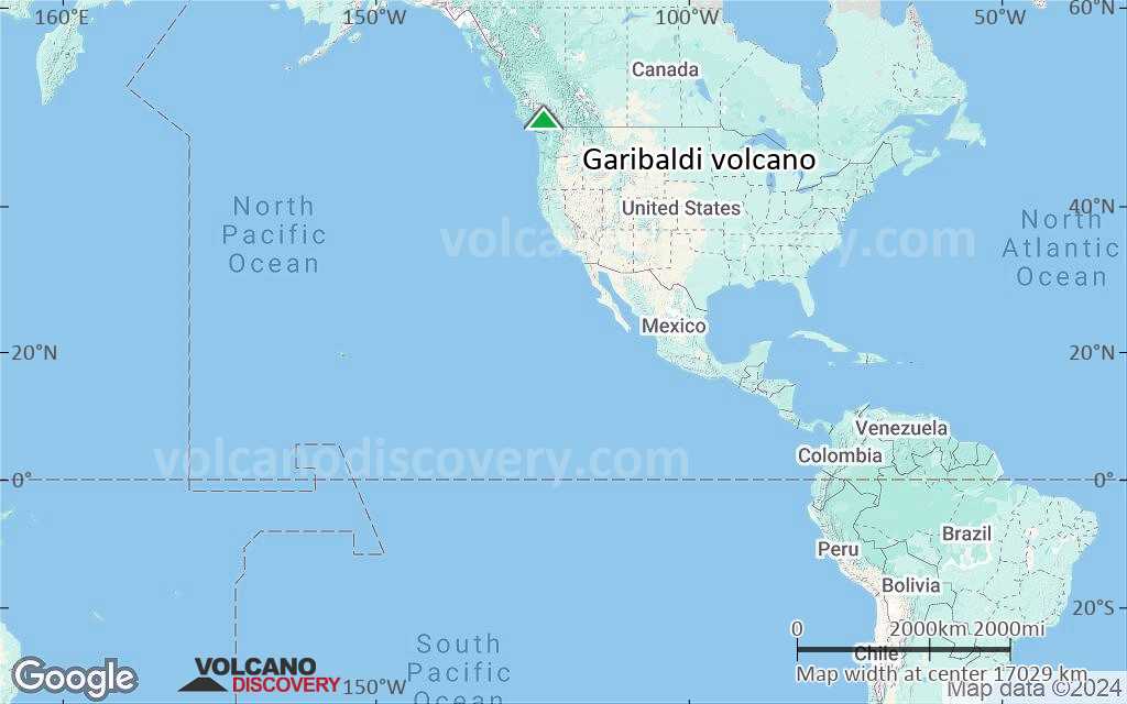
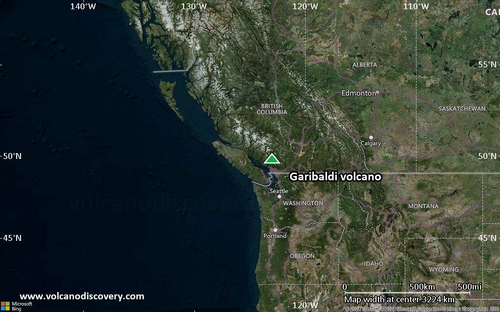
Satellite/aerial-type map of Garibaldi volcano (world scale)
Terrain-type map of Garibaldi volcano (world scale)
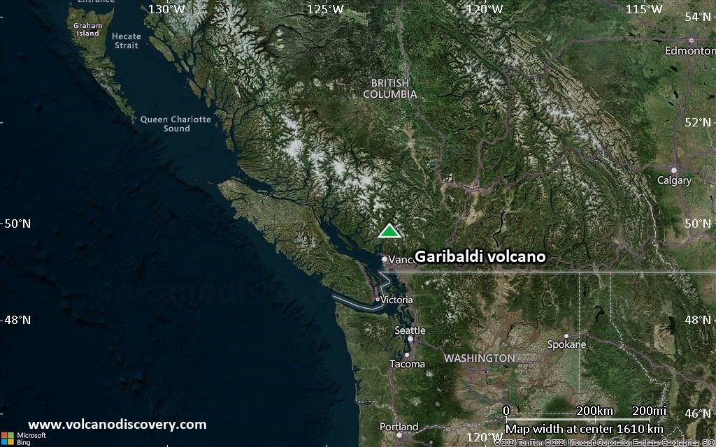
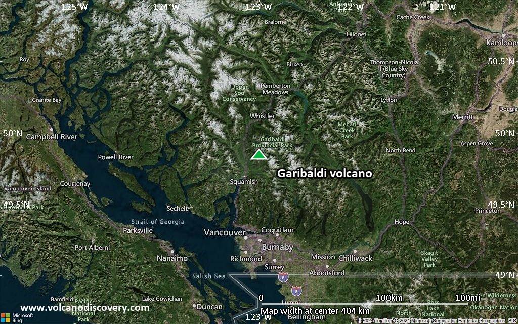
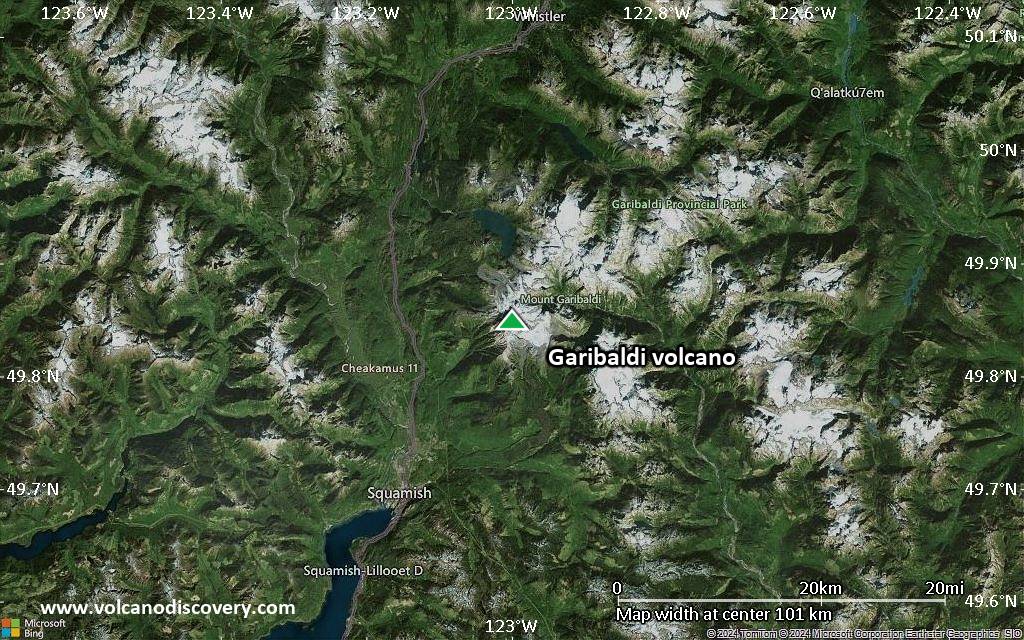
Satellite/aerial-type map of Garibaldi volcano (region scale large)

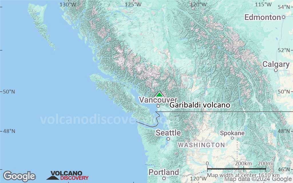
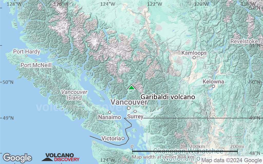
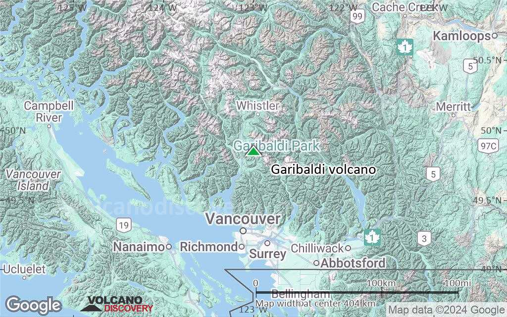
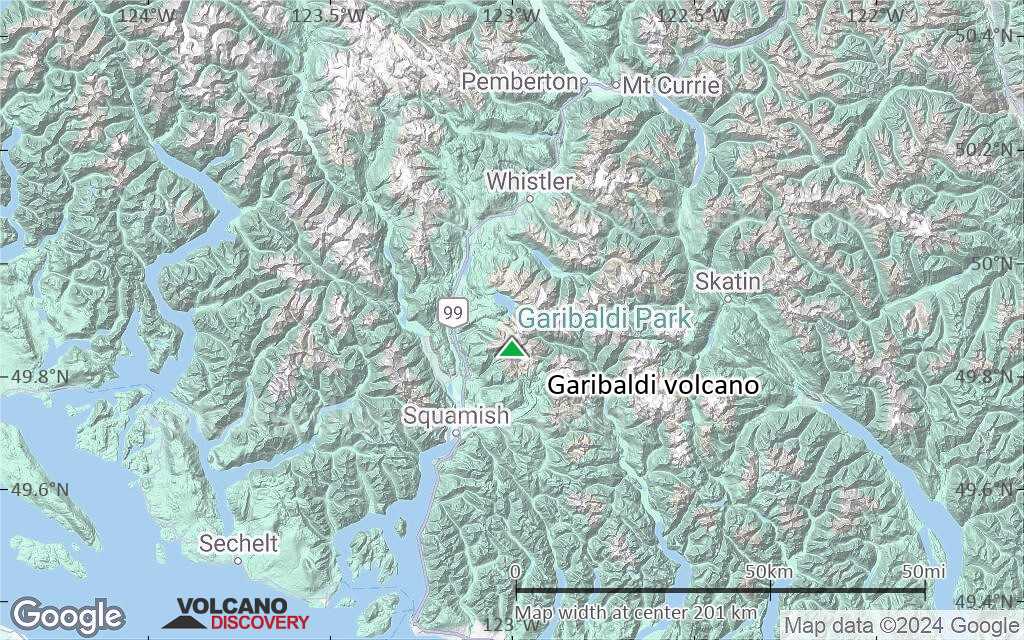
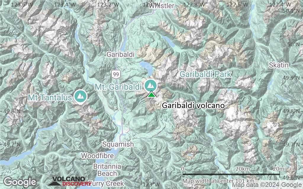
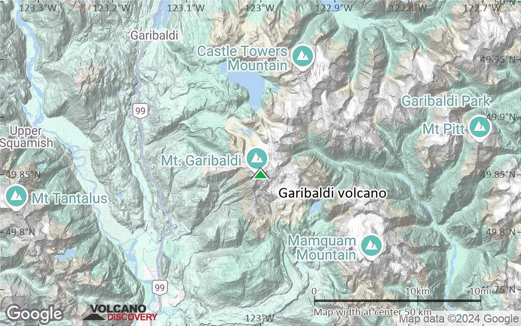
Terrain-type map of Garibaldi volcano (region scale large)
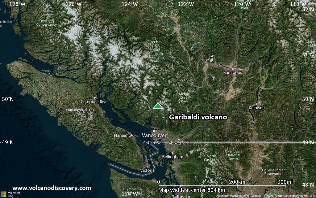
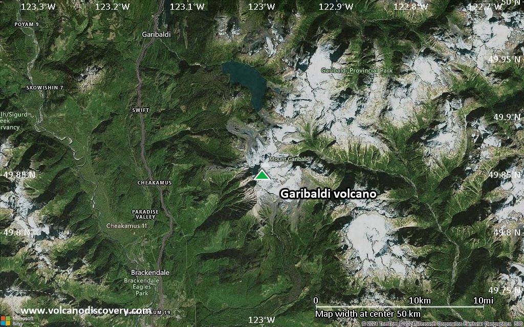
Satellite/aerial-type map of Garibaldi volcano (region scale medium)
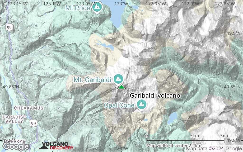
Terrain-type map of Garibaldi volcano (region scale medium)
Satellite/aerial-type map of Garibaldi volcano (region scale small)
Terrain-type map of Garibaldi volcano (region scale small)
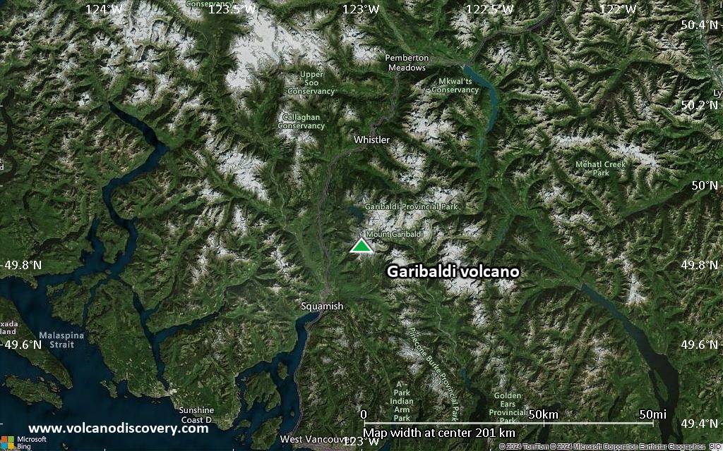
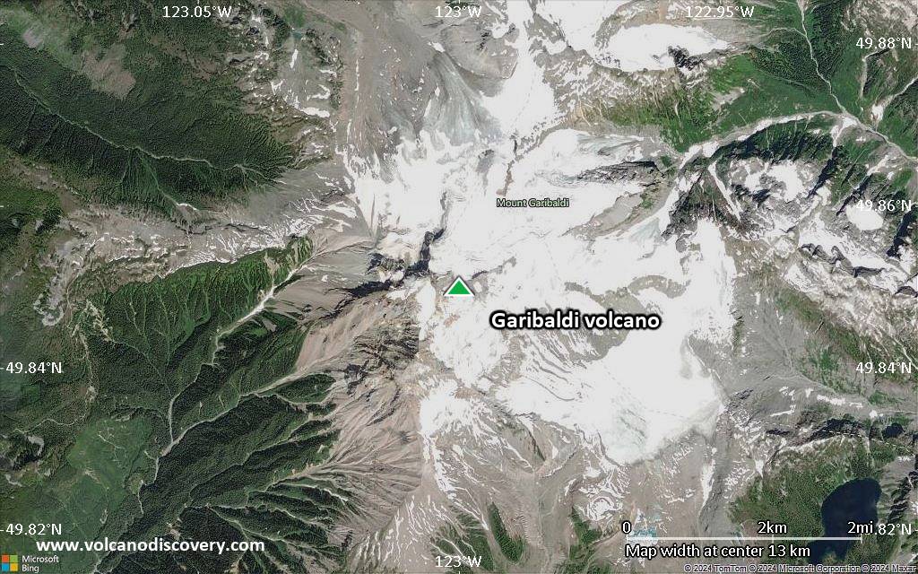
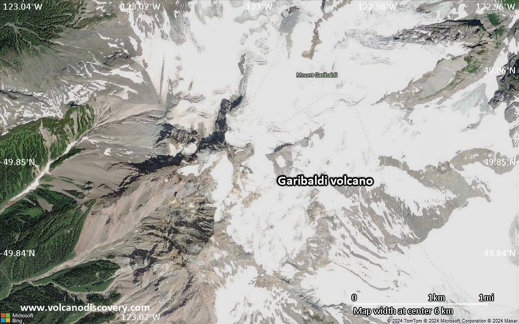
Satellite/aerial-type map of Garibaldi volcano (local scale large)
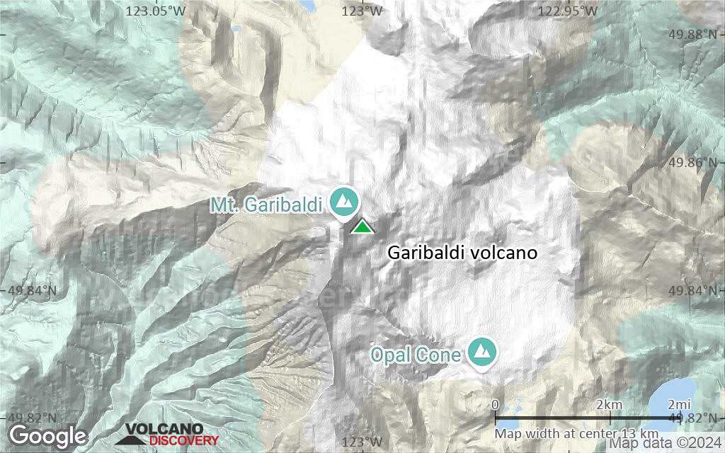
Terrain-type map of Garibaldi volcano (local scale large)
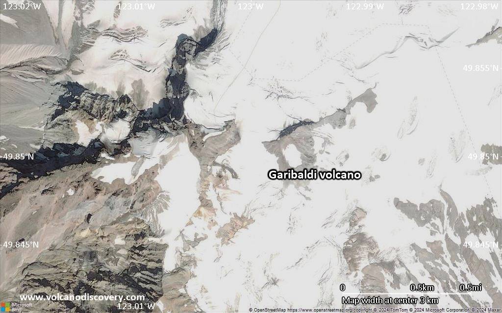
Satellite/aerial-type map of Garibaldi volcano (local scale medium)
Terrain-type map of Garibaldi volcano (local scale medium)
Satellite/aerial-type map of Garibaldi volcano (local scale small)
Terrain-type map of Garibaldi volcano (local scale small)
Satellite/aerial-type map of Garibaldi volcano (scale of 10s of km)
Terrain-type map of Garibaldi volcano (scale of 10s of km)

Satellite/aerial-type map of Garibaldi volcano (scale of 20-40 km)
Terrain-type map of Garibaldi volcano (scale of 20-40 km)
Satellite/aerial-type map of Garibaldi volcano (scale of approx. 10-20 km)
Terrain-type map of Garibaldi volcano (scale of approx. 10-20 km)
Satellite/aerial-type map of Garibaldi volcano (scale of 5-10 km)
Satellite/aerial-type map of Garibaldi volcano (scale of few kilometers)