| RSS | EN | DE | EL | ES | FR | IT | RU

Yavinsky Volcan

Updated: 26 avril. 2025 10:32 GMT -
Stratovolcano
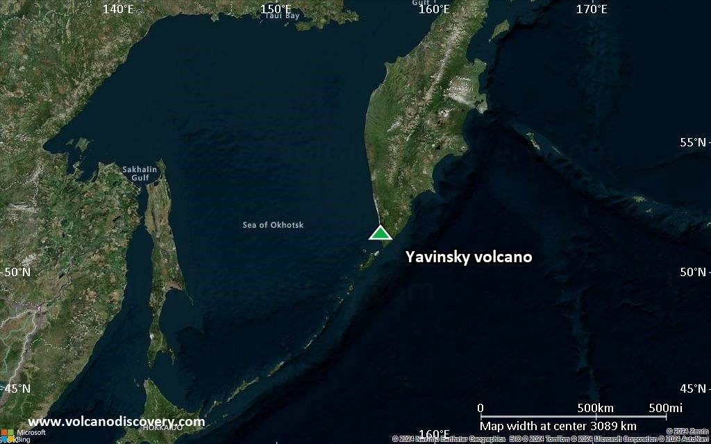
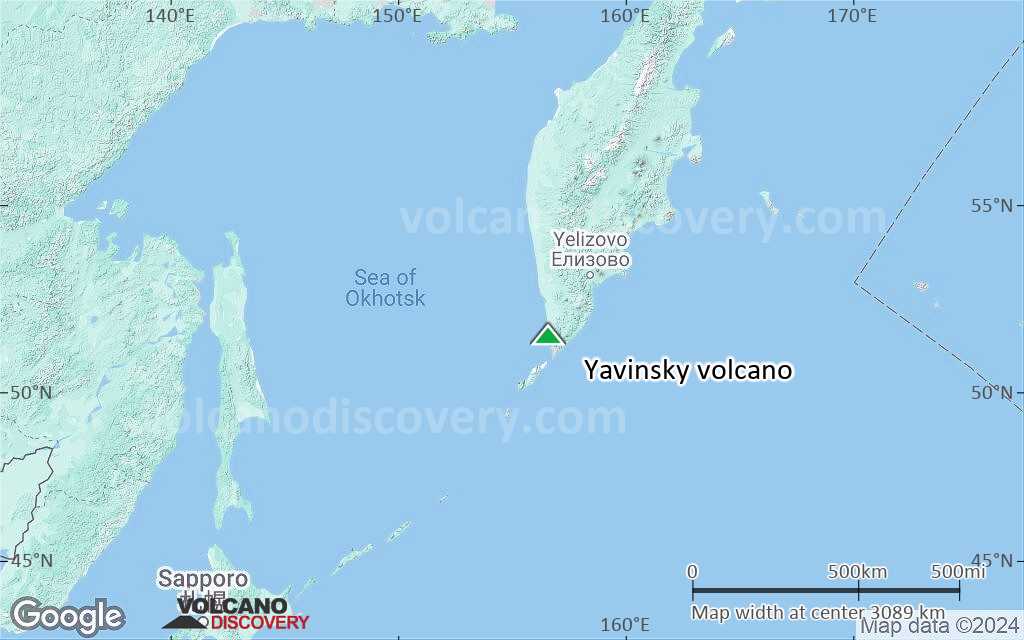
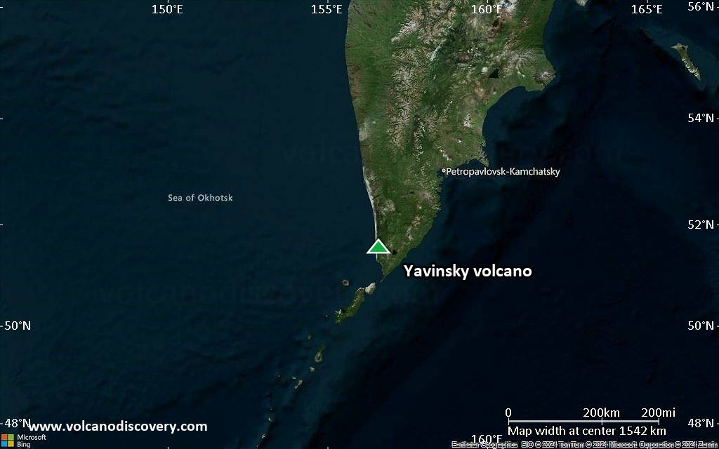
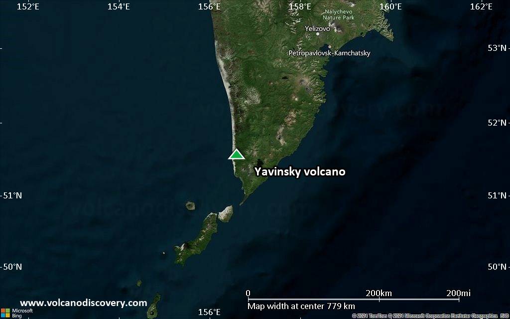
Kamchatka, USSR, 51.57°N / 156.6°E
Summit height: 705 m / 2,313 ft
Condition actuelle: normal / en sommeil (1 sur 5)

[smaller] [larger]
Style éruptif tipique: unspecified
Eruptions du volcan Yavinsky: 4050 BC (?)

Derniers séismes proches

Date et l'heureMag / Prof.Distance / Lieux

Introduction

Yavinsky is a lower- to mid-Pleistocene basaltic volcano that forms an arcuate ridge (Yavinsky Khrebet) along the SW coast of Kamchatka overlooking the town of Ozernovsky and the mouth of the Ozernaya River. A Holocene basaltic cinder cone named Ukho, related to regional basaltic monogenetic volcanism, was constructed on the NW flank of 705-m-high Yavinsky. Ukho, whose name in Russian means "Ear," was formed about 6000 years ago, based on stratigraphic evidence.
---
Smithsonian / GVP volcano information

Éruptions volcaniques importantes: volcano Yavinsky

No historic eruptions are known from Yavinsky volcano, but at least one eruption in 4050 BC can be inferred from geological evidence.
The table below lists all known eruptions (date in bold face) of Yavinsky volcano in historic times and during the past 10,000 years. Updates on the most recent volcanic activity of Yavinsky can be found on the news page of Yavinsky volcano.
DateNoteVEIMortsDommages
4050 ? BCNW flank (Ukho)?
inconnu
Remark:
Our list of volcanic eruptions closely follows the database of eruptions of the Smithsonian's Global Volcanism Project (GVP), the internationally most recognized data source for volcanic eruptions, but also includes significant eruptive episodes or related volcano events. "Volcanic eruptions" are usually to be understood as sequences of individual eruptive episodes that can follow each other, or even overlap (if several vents are involved), and can last many years, decades or even longer. For example, the current activity of Stromboli volcano is understood as a single eruption that has been ongoing since 1934.
Sources: NOAA National Centers for Environmental Information (NCEI), Global Significant Volcanic Eruptions Database. doi:10.7289/V5TD9V7K | Global Volcanism Project / Smithsonian Institution

Yavinsky Volcano FAQ

+When was the last eruption of Yavinsky volcano?

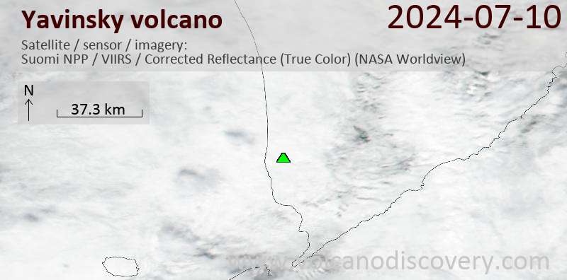
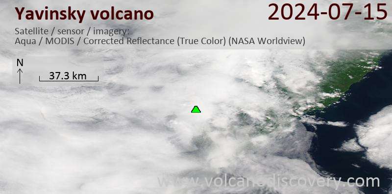
Dernières images satellite

yavinsky image satellite sat1yavinsky image satellite sat2

Yavinsky Volcan Cartes

Below is a selection of maps showing the location and surroundings of the volcano at various resolutions based on aerial-imagery / terrain maps. Feel free to use them for non-commercial purposes on your blog or website as long as you credit them with a link back to this page (click to copy it).
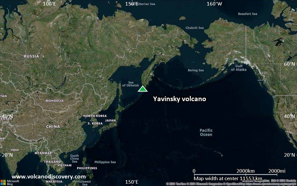
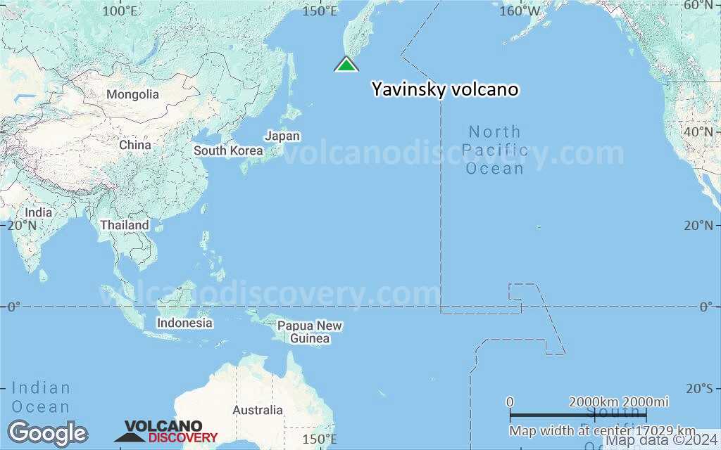
Satellite/aerial-type map of Yavinsky volcano (world scale)
Terrain-type map of Yavinsky volcano (world scale)
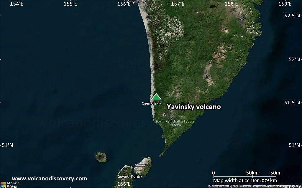
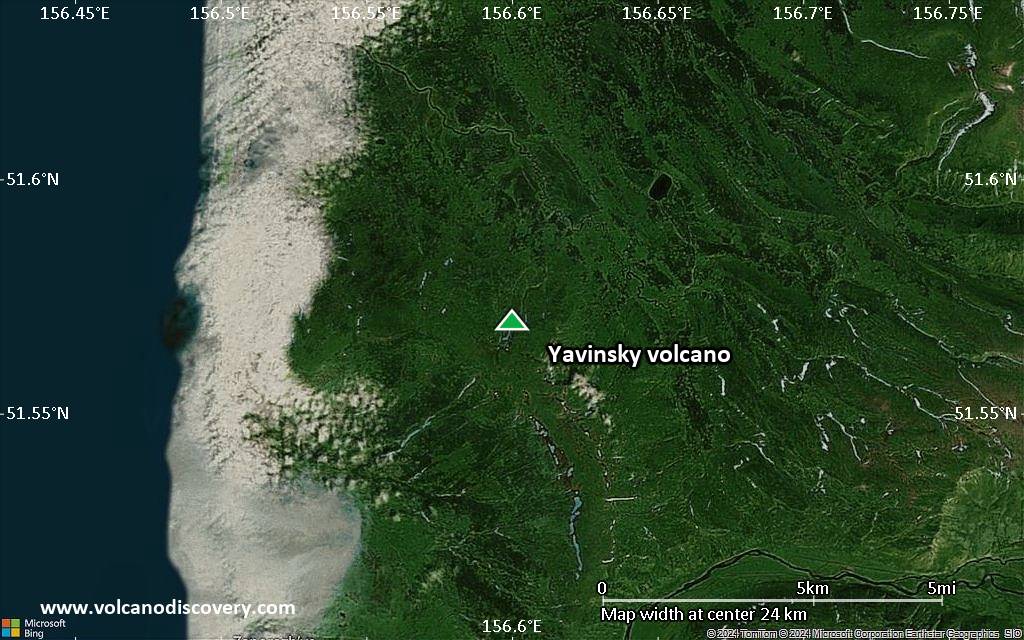
Satellite/aerial-type map of Yavinsky volcano (region scale large)
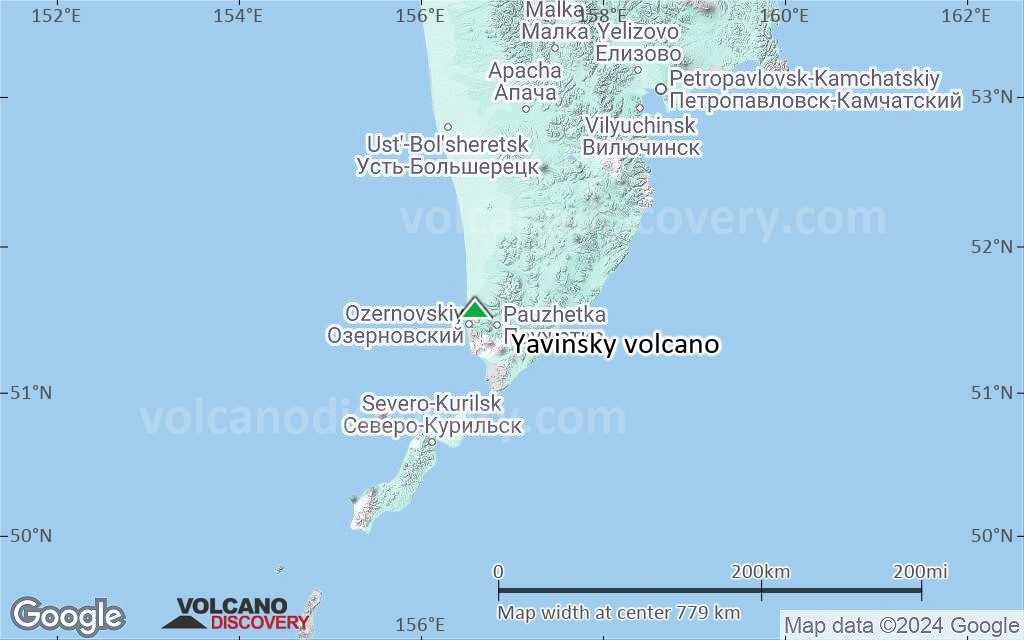
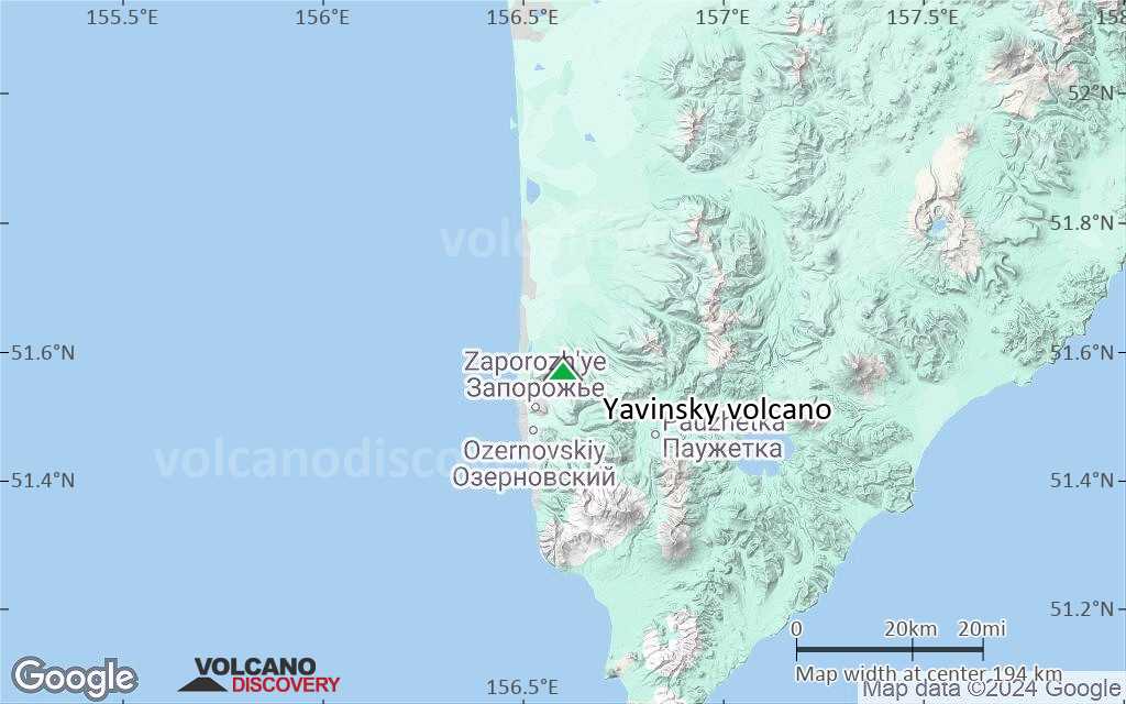
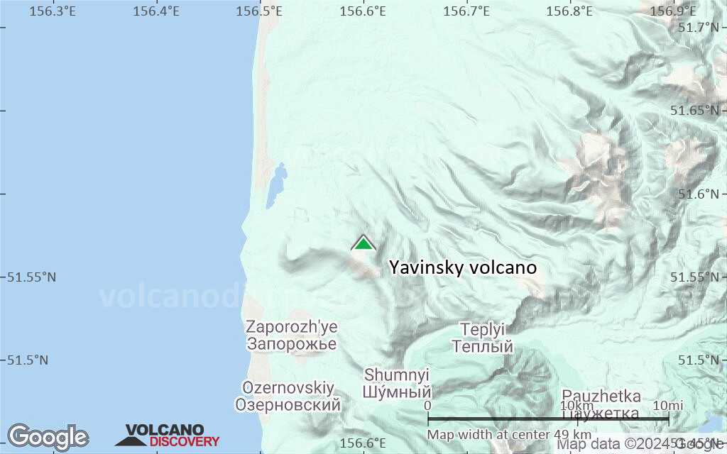
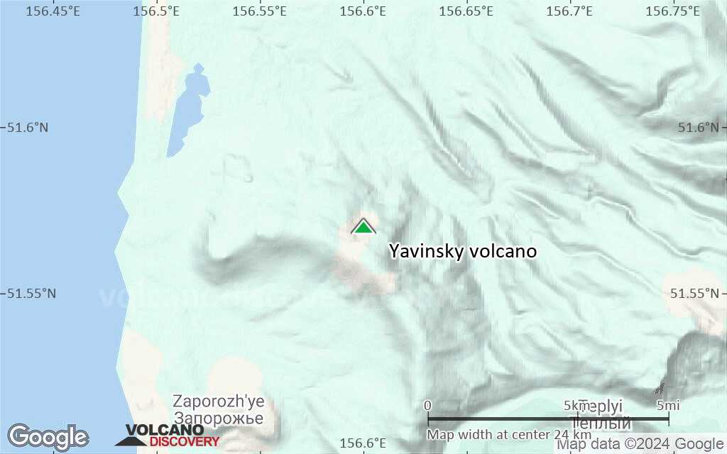
Terrain-type map of Yavinsky volcano (region scale large)
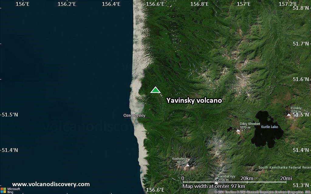
Satellite/aerial-type map of Yavinsky volcano (region scale medium)
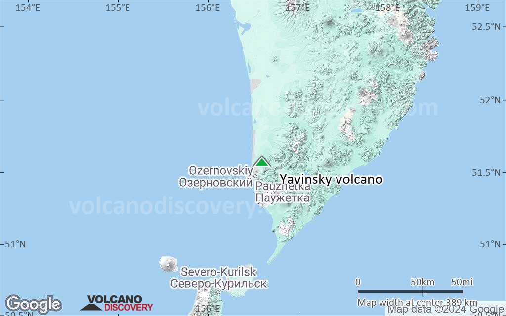
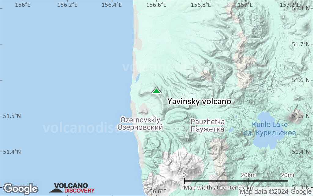
Terrain-type map of Yavinsky volcano (region scale medium)
Satellite/aerial-type map of Yavinsky volcano (region scale small)
Terrain-type map of Yavinsky volcano (region scale small)
Satellite/aerial-type map of Yavinsky volcano (local scale large)
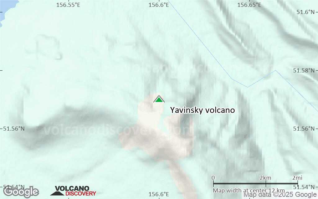
Terrain-type map of Yavinsky volcano (local scale large)
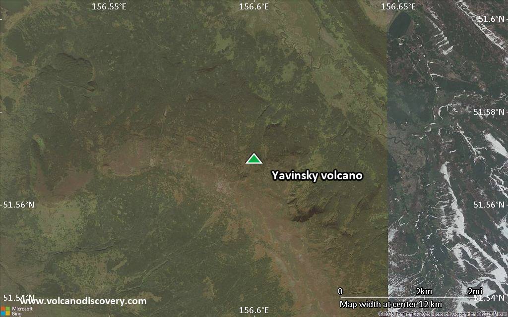
Satellite/aerial-type map of Yavinsky volcano (local scale medium)
Terrain-type map of Yavinsky volcano (local scale medium)
Satellite/aerial-type map of Yavinsky volcano (local scale small)
Terrain-type map of Yavinsky volcano (local scale small)
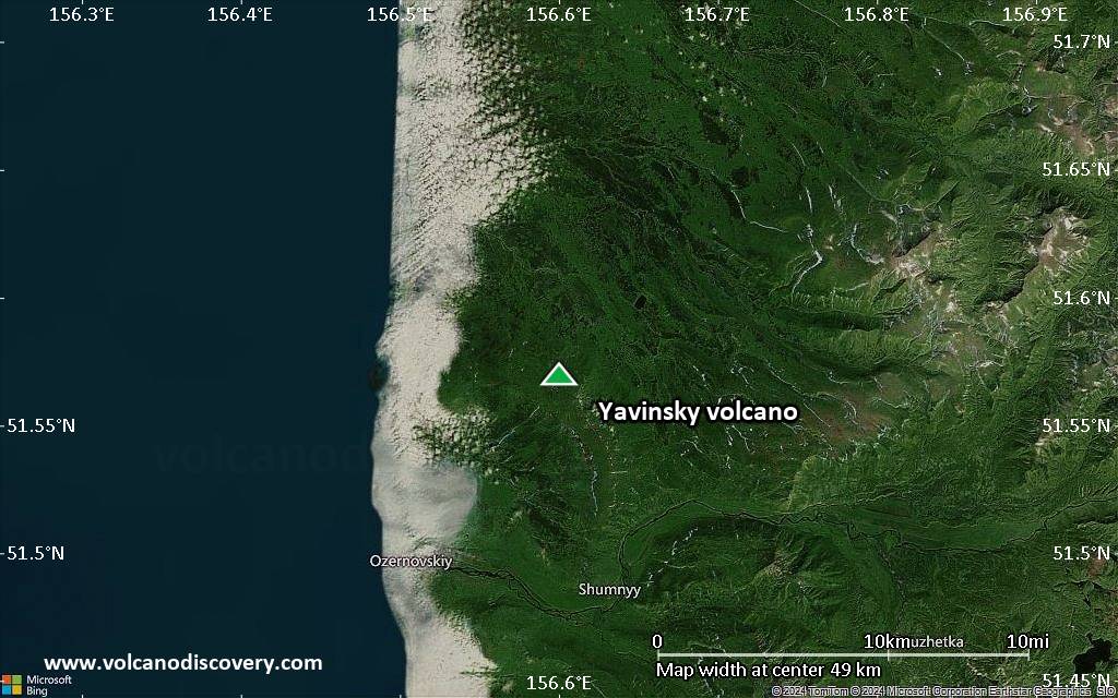
Satellite/aerial-type map of Yavinsky volcano (scale of 10s of km)
Terrain-type map of Yavinsky volcano (scale of 10s of km)
Satellite/aerial-type map of Yavinsky volcano (scale of 20-40 km)
Terrain-type map of Yavinsky volcano (scale of 20-40 km)
Satellite/aerial-type map of Yavinsky volcano (scale of approx. 10-20 km)
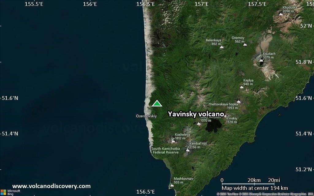
Terrain-type map of Yavinsky volcano (scale of approx. 10-20 km)
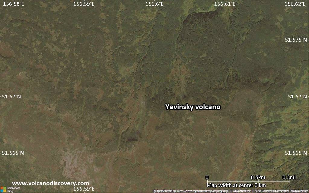
Satellite/aerial-type map of Yavinsky volcano (scale of 5-10 km)
Satellite/aerial-type map of Yavinsky volcano (scale of few kilometers)
Volcanoes & Earthquakes - new app for Android
Départs garantis:
9-25 juin 2025: Volcans et Épices - Mer des Moluques (Sulawesi, Indonésie)
7-22 juil. 2025: Du Krakatau à Bali - Java (Indonésie)
7-23 juil. 2025: Volcans et Épices - Mer des Moluques (Sulawesi, Indonésie)
1-17 août 2025: Volcans et Épices - Mer des Moluques (Sulawesi, Indonésie)
1-14 oct. 2025: Désert, sels et volcans - Désert de Danakil (Éthiopie)
4-12 oct. 2025: Montagnes de Feu - du Stromboli à l'Etna - Eoliennes + Etna
6-21 oct. 2025: Du Krakatau à Bali - Java (Indonésie)
3-19 nov. 2025: Volcans et Épices - Mer des Moluques (Sulawesi, Indonésie)
= Places libres   = Départ garanti   = Quelques places disponibles   = Groupe fermé
Actualités

No news in this list.

Sur cette page:

Try our free app!
Volcanoes & Earthquakes - new app for Android
Android | iOS version

More on VolcanoDiscovery

Why is there advertising on this site?

Support us - Help us upgrade our services!

We truly love working to bring you the latest volcano and earthquake data from around the world. Maintaining our website and our free apps does require, however, considerable time and resources.
We need financing to increase hard- and software capacity as well as support our editor team. We're aiming to achieve uninterrupted service wherever an earthquake or volcano eruption unfolds, and your donations can make it happen! Every donation will be highly appreciated. If you find the information useful and would like to support our team in integrating further features, write great content, and in upgrading our soft- and hardware, please make a donation (PayPal).

Planned features:Thanks to your past donations, these features have been added recently:
Download and Upgrade the Volcanoes & Earthquakes app to get one of the fastest seismic and volcano alerts online:
Android | IOS
Thank you!
Copyright: VolcanoDiscovery ou autres sources indiquées.
Utilisation des documents: Les textes, les images et les vidéos de ce site internet sont protégées par copyright. Toute reproduction et tout usage sans accord préalable ne sont pas autorisés. Si vous désirez acquérir pour certains documents (photos, vidéos, textes ou autres) le droit de reproduction, d'édition et, plus généralement, de toute utilisation destinée à un usage public, qu'elle soit commerciale ou pas, vous êtes priés de nous contacter.
Volcanoes & Earthquakes
VolcanoDiscovery Home
Volcans | Séismes | Photos | Actualités | | Shop | App
Adventure & Study Travel
Tours to Volcanoes and Volcanic Areas: walking tours, photo tours, study tours
Voyages |
Get our newsletter!
Company info
Contact | Mentions légales | Terms & conditions
Follow us
Follow us on facebook Follow us on Instagram Follow us on Bluesky Follow us on Twitter Visit our Youtube channel
EN | DE | EL | ES | FR | IT | RU
VolcanoDiscovery GmbH, Germany, Reg. nr.: HRB 103744, EU Tax Id: DE 297 465 123 owned and created by
Dr. Tom Pfeiffer, volcanologist, volcano photographer, tour organizer member of
IAVCEI
IAVCEI
Vulkanologische Gesellschaft
Volcanological Society
Ecotourism Greece
Ecotourism Greece
RUV insurance
Insured by R+V
VolcanoDiscovery © 2004- All Rights Reserved | Privacy - Changer Préférences