


Ushkovsky Volcan
Updated: 26 avril. 2025 10:55 GMT -
Compound volcano
Kamchatka, Russia, 56.07°N / 160.47°E 
+Heure locale:
Lever du soleil:
Coucher du soleil:
Lever de lune:
Coucher de lune:
Summit height: 3943 m / 12,936 ft
Condition actuelle: normal / en sommeil (1 sur 5)
[smaller] [larger]
Eruptions du volcan Ushkovsky: 1890
Derniers séismes proches
| Date et l'heure | Mag / Prof. | Distance / Lieux | |||
|---|---|---|---|---|---|
| 26 avril 11:49 (Kamchatka) | 1.4 28 km | 8.3 km à l'est | Info | ||
| 26 avril 10:42 (Kamchatka) | 0.9 12 km | 29 km au sud | Info | ||
| 26 avril 08:28 (Kamchatka) | 0.6 1.4 km | 6.1 km au nord | Info | ||
| 26 avril 07:23 (Kamchatka) | 1.9 27 km | 8.5 km à l'est | Info | ||
| 26 avril 04:30 (Kamchatka) | 0.6 0.9 km | 12 km au sud-est | Info | ||
| 26 avril 03:40 (Kamchatka) | 0.5 1.3 km | 14 km au sud-est | Info | ||
| 26 avril 02:38 (Kamchatka) | 1.2 31 km | 9.9 km à l'est | Info | ||
| mercredi, 23 avril 2025 GMT (1 séisme) | |||||
| 23 avril 19:38 (Kamchatka) | 2.0 30 km | 7.3 km à l'est | Info | ||
| lundi, 21 avril 2025 GMT (1 séisme) | |||||
| 22 avril 05:16 (Kamchatka) | 2.0 29 km | 6.7 km à l'est | Info | ||
Introduction
Ushkovsky volcano (formerly known as Plosky) is a large compound volcanic massif located at the NW end of the Kliuchevskaya volcano group. It consists of the flat-topped 3943-m-high Ushkovsky volcano (Daljny Plosky), which is capped by an ice-filled 4.5 x 5.5 km caldera, and the adjacent slightly higher peak of 4108 m Krestovsky (Blizhny Plosky) volcano. Two glacier-clad cinder cones with large summit craters form a high point within the Ushkovsky caldera. Linear zones of cinder cones are found on the SW and NE flanks and on lowlands to the west. The younger caldera at the summit of Plosky Daljny (Ushkovsky) was formed in association with the eruption of large lava flows and pyroclastic material from the Lavovy ShIsh cinder cones at the foot of the volcano about 8600 years ago. The only known historical activity at Ushkovsky was an explosive eruption from the summit cone in 1890.---
Smithsonian / GVP volcano information
Ushkovsky Volcano Photos
Panorama de 4 volcans (de gauche à droite) : Ouchkovski, Klyuchevskoy, Kamen et Bezymianny vus depuis le plateau au nord de Tolbachik. (Photo: Tom Pfeiffer)
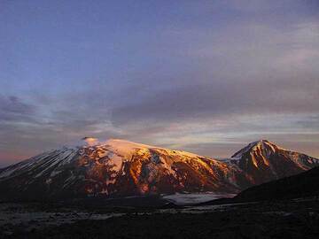
Le volcan Ouchkovski frappé par le soleil du soir (Photo: Anastasia)
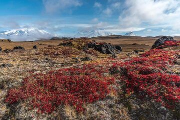
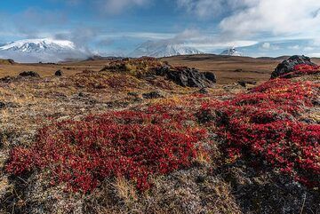
Les volcans Ushkovsky (l), Klyuchevskoy, Kamen (m) et Bezymianny (r) vus derrière la toundra dans les couleurs rouges de l'automne. (Photo: Tom Pfeiffer)
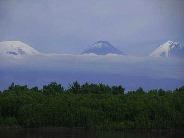
Premier coup d'œil sur le volcan Kluchevskoy (au centre) et le volcan Kamen (à droite) ; Volcan Ouchkovski à gauche de loin (Photo: Anastasia)
Éruptions volcaniques importantes: volcano Ushkovsky
In the past 10,000 years, Ushkovsky has had only one confirmed historic eruption in 1890, but at least 2 eruptions can be inferred from geological evidence.
The table below lists all known eruptions (date in bold face) of Ushkovsky volcano in historic times and during the past 10,000 years. Updates on the most recent volcanic activity of Ushkovsky can be found on the news page of Ushkovsky volcano.
| Date | Note | VEI | Morts | Dommages | |
|---|---|---|---|---|---|
Obs./docs historiques | 2? | inconnu | |||
| Lavovy Shish cone group & summit caldera | ? | inconnu | |||
| ? | inconnu | ||||
Remark:
Our list of volcanic eruptions closely follows the database of eruptions of the Smithsonian's Global Volcanism Project (GVP), the internationally most recognized data source for volcanic eruptions, but also includes significant eruptive episodes or related volcano events. "Volcanic eruptions" are usually to be understood as sequences of individual eruptive episodes that can follow each other, or even overlap (if several vents are involved), and can last many years, decades or even longer. For example, the current activity of Stromboli volcano is understood as a single eruption that has been ongoing since 1934.
Sources: NOAA National Centers for Environmental Information (NCEI), Global Significant Volcanic Eruptions Database. doi:10.7289/V5TD9V7K | Global Volcanism Project / Smithsonian Institution
Ushkovsky Volcano FAQ
+When was the last eruption of Ushkovsky volcano?
The last confirmed eruption of Ushkovsky occurred in 1890.
+How often does Ushkovsky volcano erupt?
Since 1890, Ushkovsky volcano has had at least 1 historically documented eruptions. This means that it erupts on average every 135 years.
+When was the largest eruption of Ushkovsky volcano?
The largest eruption of Ushkovsky volcano in historic times occurred in 1890. It ranks as a strombolian to vulcanian eruption with a magnitude 2 on the VEI (Volcanic Explosivity Index) scale.
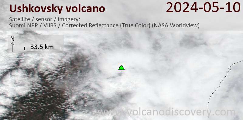
Dernières images satellite
Ushkovsky Volcan Cartes
Below is a selection of maps showing the location and surroundings of the volcano at various resolutions based on aerial-imagery / terrain maps. Feel free to use them for non-commercial purposes on your blog or website as long as you credit them with a link back to this page (click to copy it).
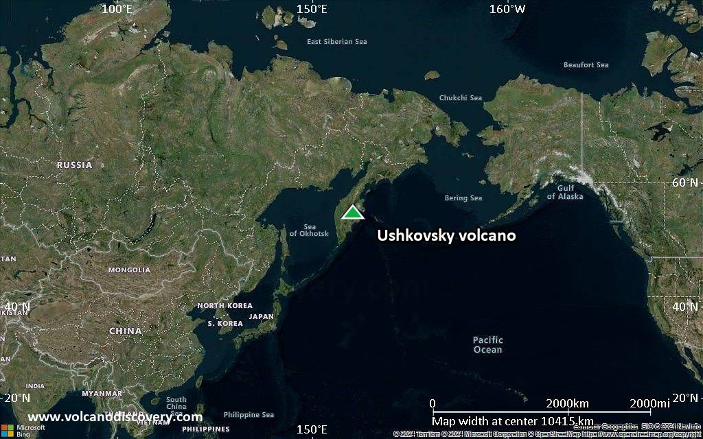
Satellite/aerial-type map of Ushkovsky volcano (world scale)
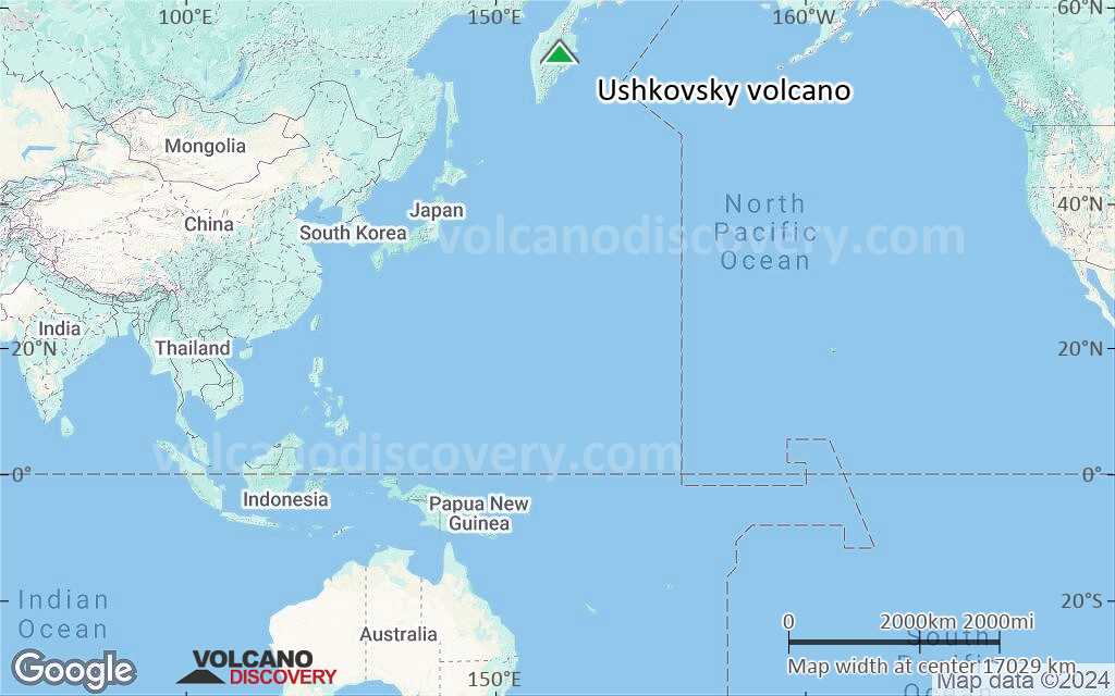
Terrain-type map of Ushkovsky volcano (world scale)
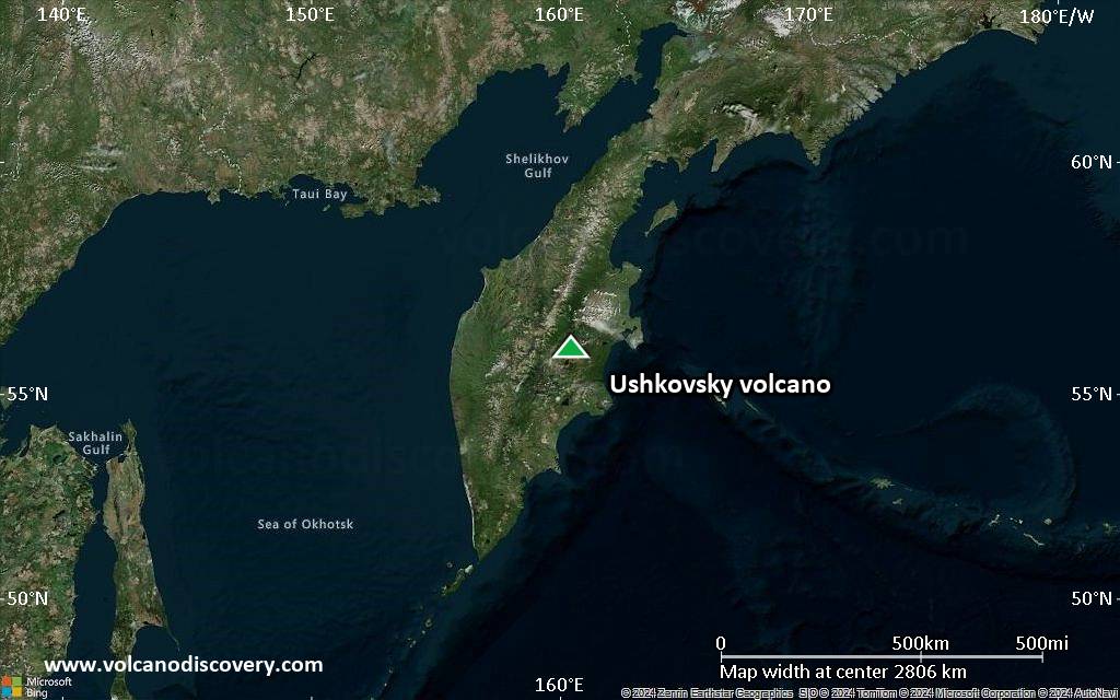
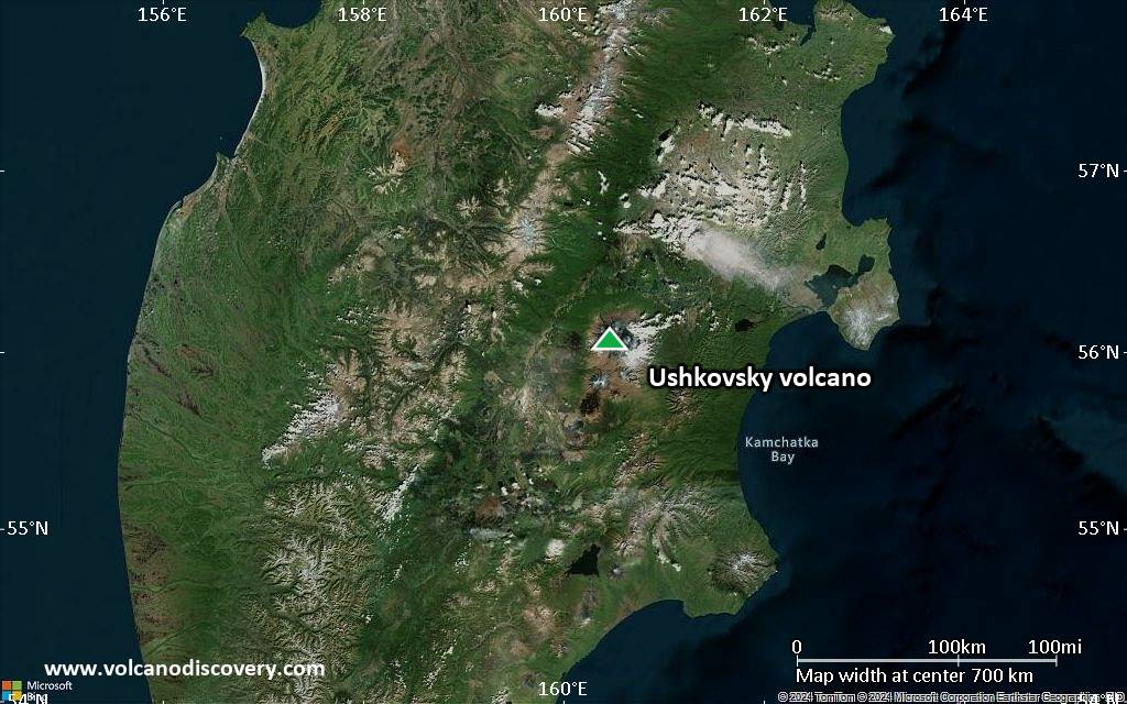
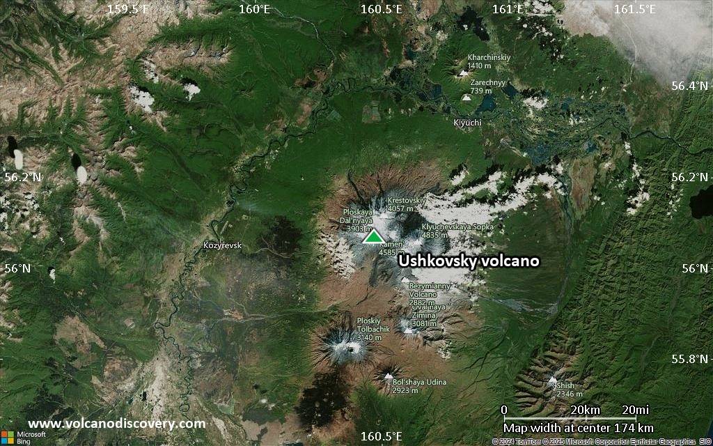
Satellite/aerial-type map of Ushkovsky volcano (region scale large)
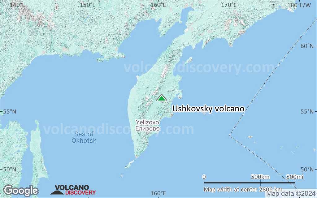
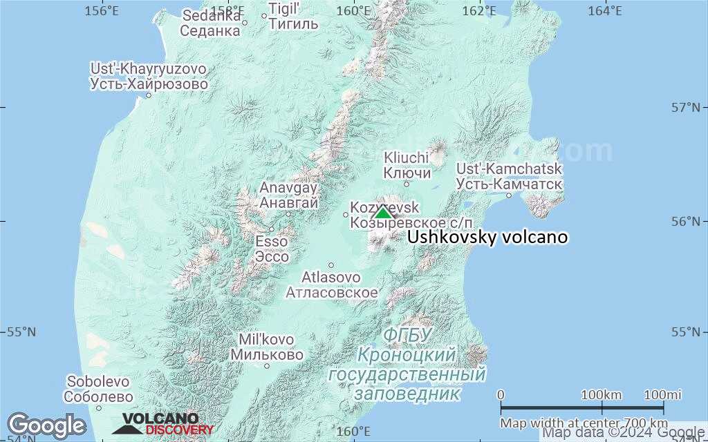
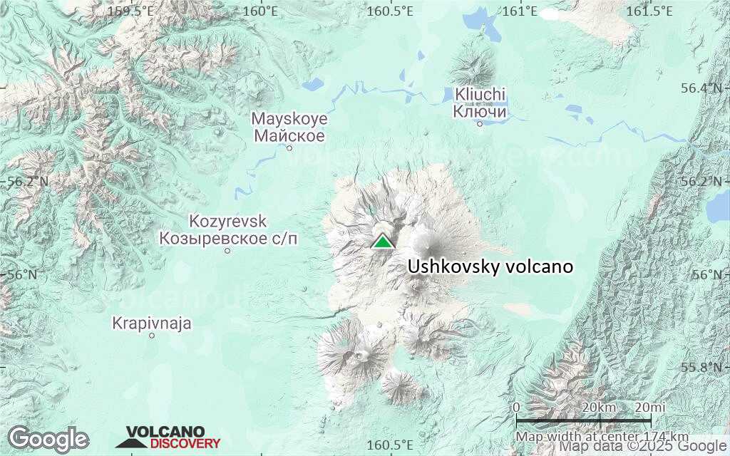
Terrain-type map of Ushkovsky volcano (region scale large)
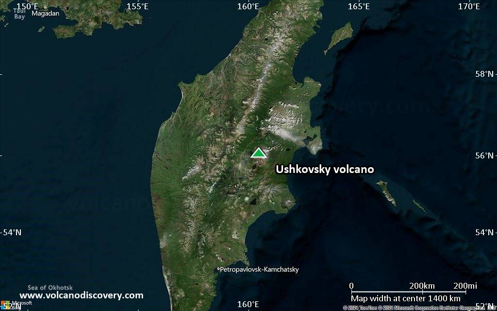
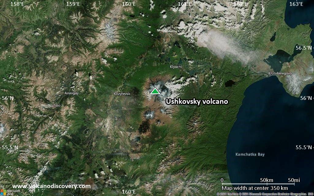
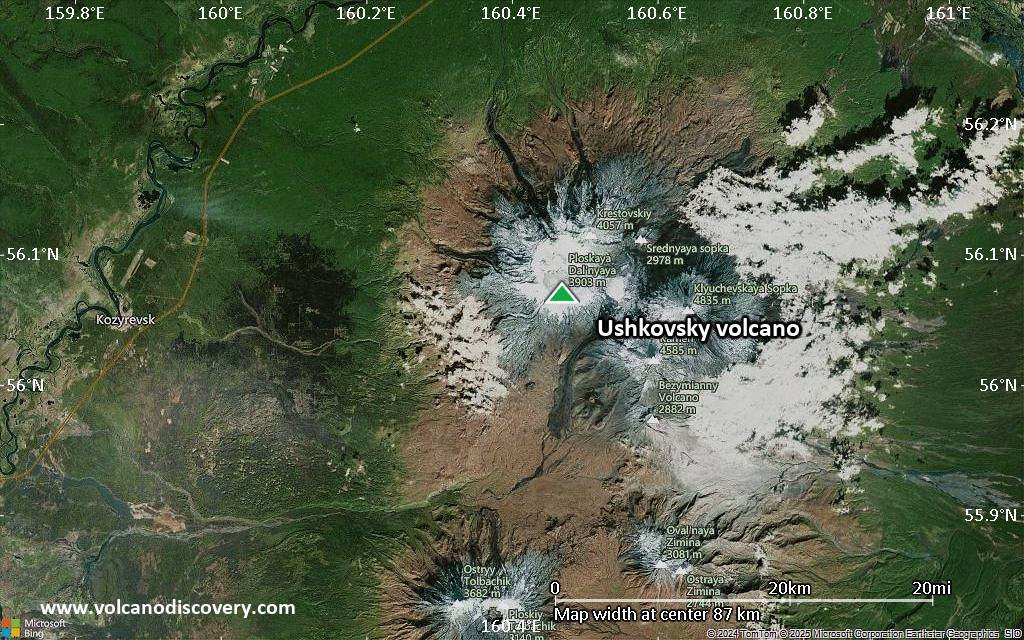
Satellite/aerial-type map of Ushkovsky volcano (region scale medium)
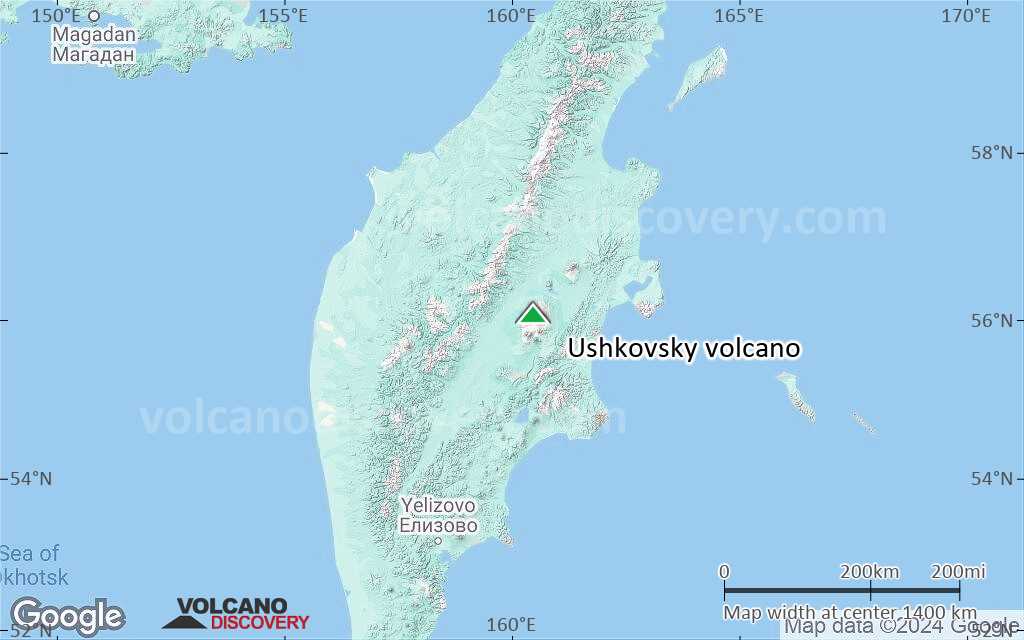
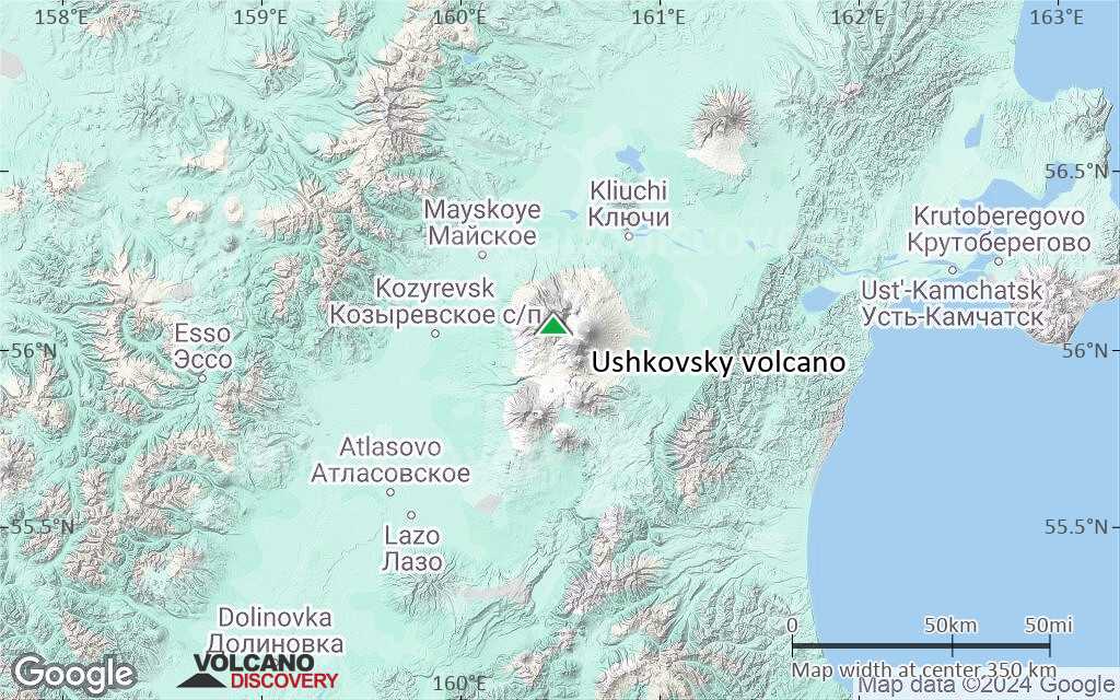
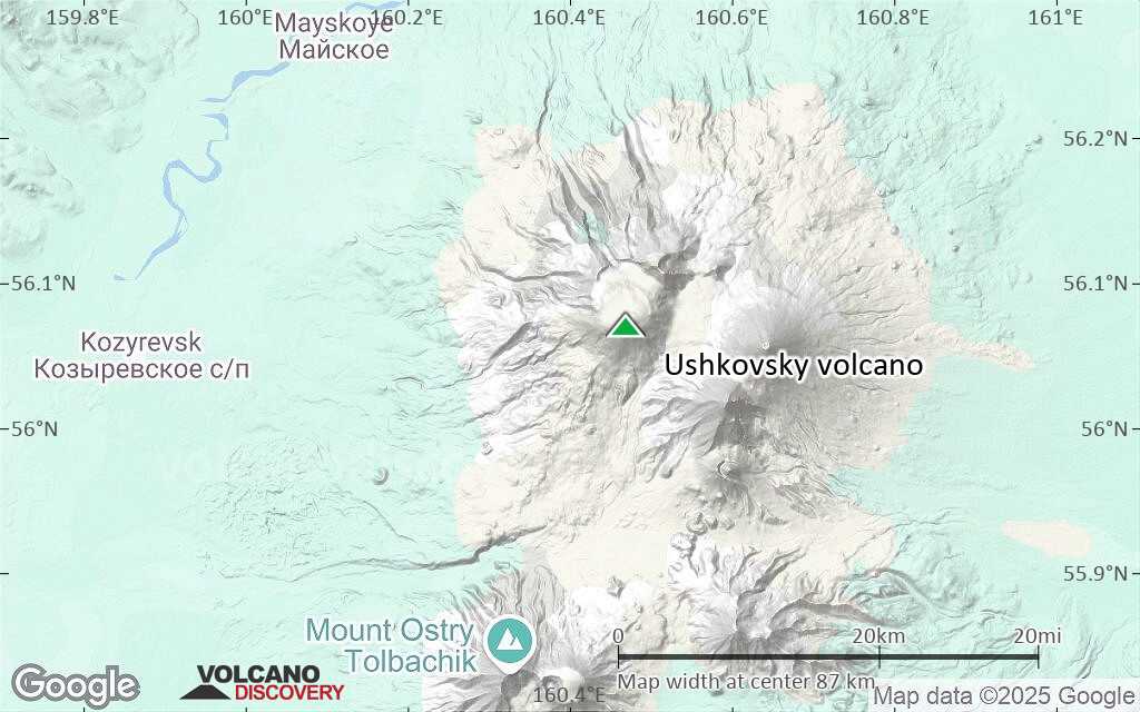
Terrain-type map of Ushkovsky volcano (region scale medium)
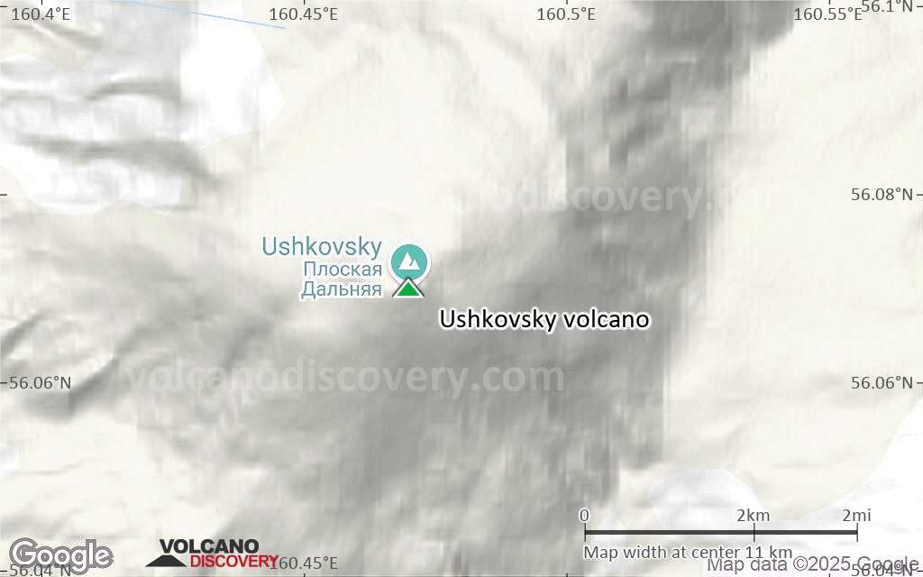
Satellite/aerial-type map of Ushkovsky volcano (region scale small)
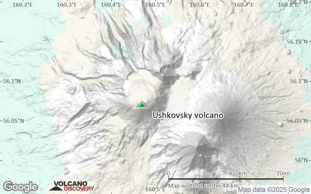
Terrain-type map of Ushkovsky volcano (region scale small)
Satellite/aerial-type map of Ushkovsky volcano (local scale large)
Terrain-type map of Ushkovsky volcano (local scale large)
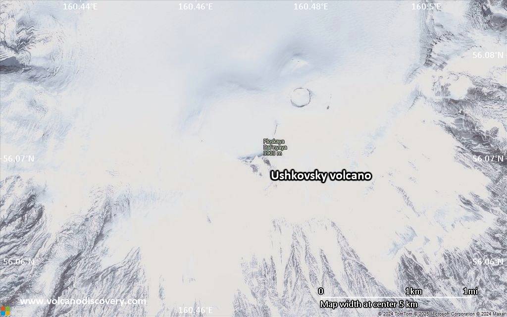
Satellite/aerial-type map of Ushkovsky volcano (local scale medium)
Terrain-type map of Ushkovsky volcano (local scale medium)
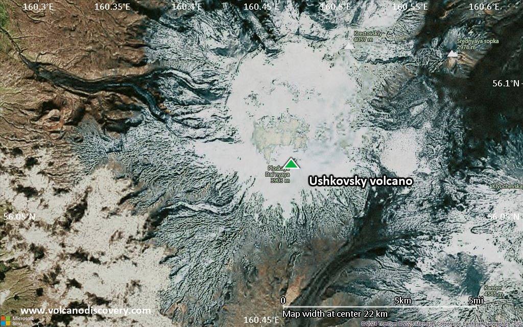
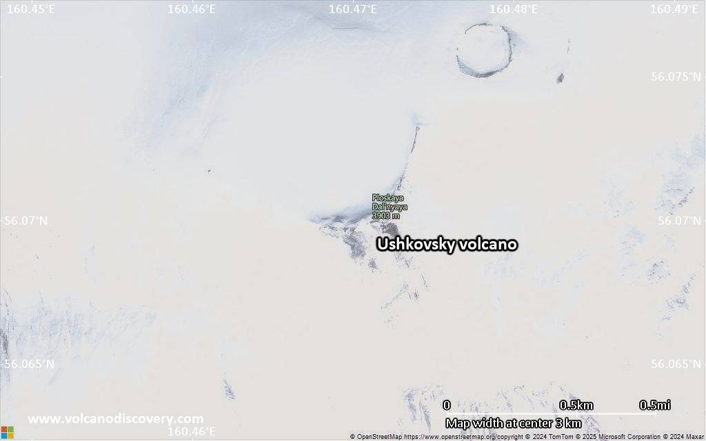
Satellite/aerial-type map of Ushkovsky volcano (local scale small)
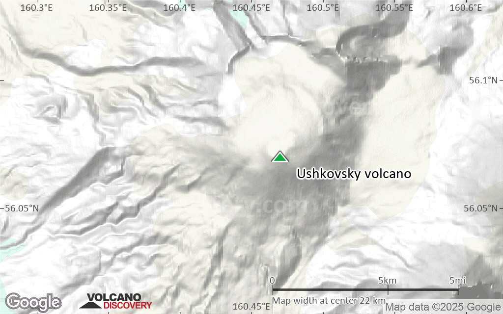
Terrain-type map of Ushkovsky volcano (local scale small)

Satellite/aerial-type map of Ushkovsky volcano (scale of 10s of km)
Terrain-type map of Ushkovsky volcano (scale of 10s of km)
Satellite/aerial-type map of Ushkovsky volcano (scale of 20-40 km)
Terrain-type map of Ushkovsky volcano (scale of 20-40 km)
Satellite/aerial-type map of Ushkovsky volcano (scale of approx. 10-20 km)
Terrain-type map of Ushkovsky volcano (scale of approx. 10-20 km)
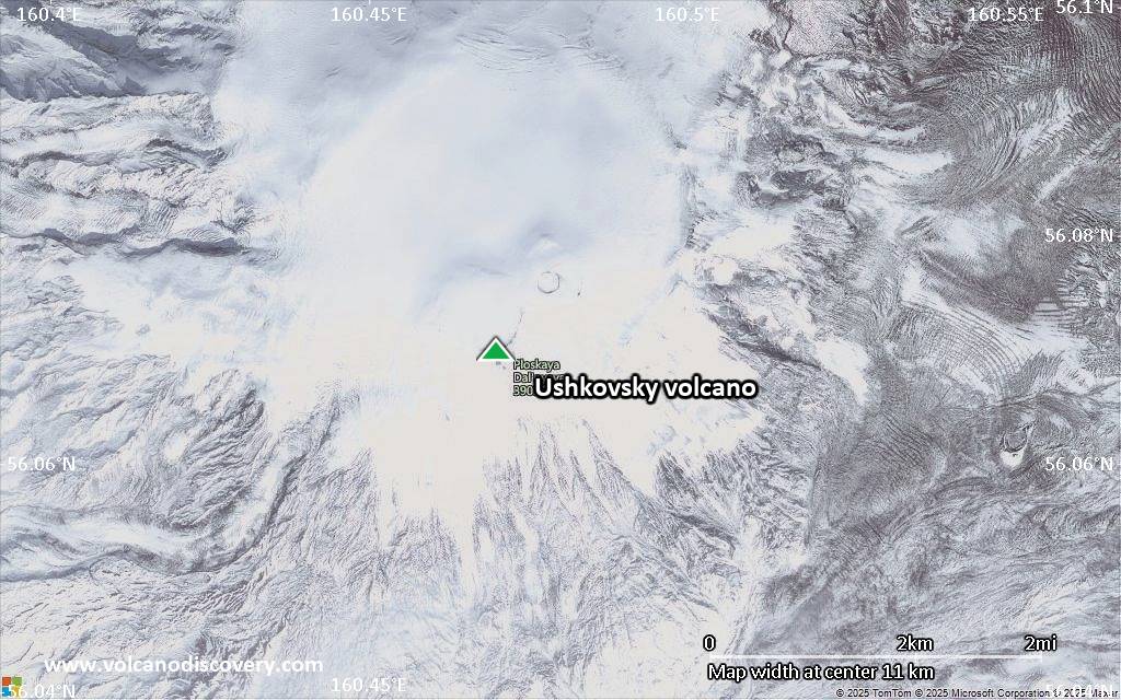
Satellite/aerial-type map of Ushkovsky volcano (scale of 5-10 km)
Satellite/aerial-type map of Ushkovsky volcano (scale of few kilometers)


