| RSS | EN | DE | EL | ES | FR | IT | RU

Stromboli Volcan

Updated: 22 avril. 2025 14:09 GMT -
stratovolcano
Eolian Islands, Italy, 38.79°N / 15.21°E
Summit height: 926 m
Condition actuelle: en éruption (4 sur 5)
Last update: 16 avril 2025 (Smithsonian / USGS Weekly Volcanic Activity Report)
Powerful strombolian eruption from Stromboli volcano

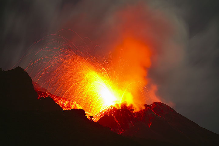
Stromboli, a small island north of Sicily, is one of the most active volcanoes in the world and famous for its normally small, but regular explosions throwing out glowing lava from several vents inside its summit crater. This activity has been going on for at least 2000 years, as long as there is written memory of the activity, which Stromboli lended its name to, the so-called strombolian activity.

[smaller] [larger]
Style éruptif tipique: Small explosive (strombolian) eruptions, typically every 20-30 mins. Intermittently, ca. every 2-20 years, minor effusive eruptions (lava flows); on average 2-5 times per year larger explosions.
Eruptions du volcan Stromboli: Persistant (near-constant) activity since at least 2-3000 years. Most recent effusive (lava flow) eruptions from Dec. 2002-July 2003, March 2007, Aug-Oct 2014. Paroxysm 3 July 2019

Derniers séismes proches

Date et l'heureMag / Prof.Distance / Lieux

Introduction

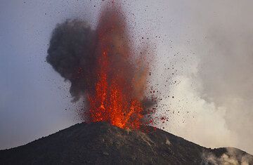
The N-most island of the Eolian Islands is famous for its spectacular incandescent nighttime explosions, that have long attracted visitors from all over the world and brought the volcano the nickname the "Lighthouse of the Mediterranean." Stromboli has even given its name to this kind of typical small explosions.
As long as there are historical records, Stromboli has been constantly active, which makes it almost unique among the volcanoes in the world. Most of its activity consists of brief and small bursts of glowing lava fragments to heights of 100-200 m above the craters. Occasionally, much stronger explosions or periods of more continuous activity can occur. The most violent eruptions during the past 100 years, in 1919, 1930 and on 5 April 2003, were large enough to take lives and or destroy property even at considerable range from the craters, for example inside the inhabited areas.
Apart from explosive activity, effusive eruptions with outflow of lava occur at irregular intervals ranging from a few years to decades. The most recent one began on 28 December 2002 and ended in July 2003.
Stromboli offers visitors a unique possibility to watch its eruptions. From the rim of an older crater one can stand only 150-250 m almost directly above the active craters,- a perfect viewing terrace. It should be mentioned that this is regarded as surprisingly safe as well: even though there is a small risk of being involved in a sudden, larger explosion (which happen infrequently a few times per year), and then being hit, injured or killed by an ejected bomb from the crater, the risk in terms of numbers is probably much smaller than many other risks in everyday situations. The number of accidents on Stromboli, when compared to the number of visitors at the crater over the years, is extremely small.
For hose who know and learn to love it, Stromboli is a magical place,- even not only for its volcano, but also for its unique charm, its beautiful beaches, the lush vegetation and its characteristic and unspoiled architecture.

Stromboli Volcano Photos
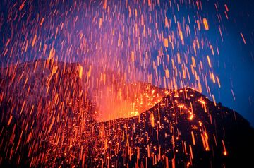
Éruptions volcaniques importantes: volcano Stromboli

In the past 10,000 years, Stromboli has had at least 22 confirmed volcanic eruptions, out of which 14 are documented by historical records, while the others can be inferred from geological evidence.

The table below lists all known eruptions (date in bold face) of Stromboli volcano in historic times and during the past 10,000 years. Updates on the most recent volcanic activity of Stromboli can be found on the news page of Stromboli volcano.
DateNoteVEIMortsDommages
1934 Fév 2 - en coursSummit craters and Sciara del Fuoco
Obs./docs historiques
2
inconnu
2022 Déc 4
(éruption 1934 Fév 2 - en cours)
Tsunami enregistré
Obs./docs historiques
2
inconnu
Infos
2022 Oct 9
(éruption 1934 Fév 2 - en cours)
Tsunami enregistré
Obs./docs historiques
2
inconnu
Infos
2021 Mai 19
(éruption 1934 Fév 2 - en cours)
Tsunami enregistré
Obs./docs historiques
2
inconnu
2019 Août 28
(éruption 1934 Fév 2 - en cours)
Tsunami enregistré
Obs./docs historiques
2
inconnu
Infos
2019 Jul 3
(éruption 1934 Fév 2 - en cours)
Tsunami enregistré
Obs./docs historiques
21
inconnu
Infos
2002 Déc 30
(épisode éruptif 2002 Déc 28 - Déc 30)
Tsunami enregistré
Obs./docs historiques
0
léger
Infos
2001 Oct 20
(éruption 1934 Fév 2 - en cours)
Obs./docs historiques
21
inconnu
Infos
1986 Jul 24
(épisode éruptif 1985 Déc 06 - 1986 Jul 24)
Obs./docs historiques
21
inconnu
Infos
1954 Fév
(éruption 1934 Fév 2 - en cours)
Tsunami enregistré
Obs./docs historiques
0
léger
Infos
1944 Août 20
(éruption 1934 Fév 2 - en cours)
Tsunami enregistré
Obs./docs historiques
2
léger
Infos
1932 Jun 3
Obs./docs historiques
2
inconnu
1910 Mai - 1931 JulSummit craters and Sciara del Fuoco
Obs./docs historiques
3
inconnu
1930 Sep 11
(éruption 1910 Mai - 1931 Jul)
Tsunami enregistré
Obs./docs historiques
36
modéré
Infos
1919 Mai 22
(éruption 1910 Mai - 1931 Jul)
Tsunami enregistré
Obs./docs historiques
34
léger
Infos
1916 Jul 3
(éruption 1910 Mai - 1931 Jul)
Tsunami enregistré
Obs./docs historiques
3
léger
Infos
1890 - 1907 Mai 29
Obs./docs historiques
3
inconnu
1857 - 1889 Jun 26Summit craters and Sciara del Fuoco
Obs./docs historiques
3
inconnu
1879 Fév 4
(épisode éruptif 1879 Fév 4)
Tsunami enregistré
Obs./docs historiques
2
inconnu
Infos
1558 ou avant AD - 1857Summit craters and Sciara del Fuoco
Obs./docs historiques
3
inconnu
950 ±50 y. ADSummit area
Obs./docs historiques
2
inconnu
550 ±50 y. AD
Obs./docs historiques
3
inconnu
250 ±50 y. AD
Obs./docs historiques
2
inconnu
150 ±50 y. AD
Obs./docs historiques
2
inconnu
50 ±50 y. AD
Obs./docs historiques
2
inconnu
Remark:
Our list of volcanic eruptions closely follows the database of eruptions of the Smithsonian's Global Volcanism Project (GVP), the internationally most recognized data source for volcanic eruptions, but also includes significant eruptive episodes or related volcano events. "Volcanic eruptions" are usually to be understood as sequences of individual eruptive episodes that can follow each other, or even overlap (if several vents are involved), and can last many years, decades or even longer. For example, the current activity of Stromboli volcano is understood as a single eruption that has been ongoing since 1934.
Sources: NOAA National Centers for Environmental Information (NCEI), Global Significant Volcanic Eruptions Database. doi:10.7289/V5TD9V7K | Global Volcanism Project / Smithsonian Institution

Stromboli Volcano FAQ

+When was the last eruption of Stromboli volcano?

+How often does Stromboli volcano erupt?

+How active is Stromboli volcano at present?

+When was the largest eruption of Stromboli volcano?

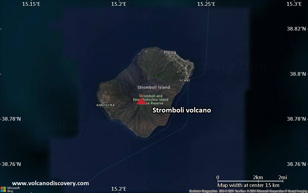
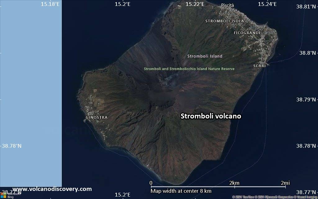
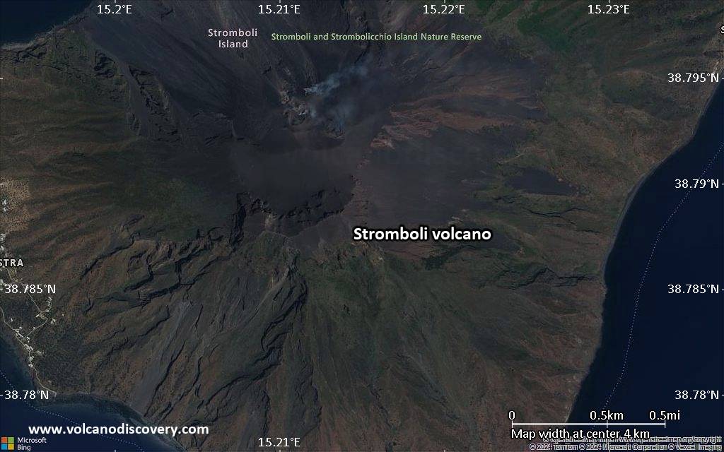
Dernières images satellite

Stromboli image satellite sat1Stromboli image satellite sat2
Stromboli Voyages aux Volcans
15 jours d'expédition du Vésuve à l’Etna
14 jours (13 nuits) - Facile-Modérée
Prix 3890 €
3-17 oct. 2025
2-16 oct. 2026
marche et voyage d'étude avec un volcanologue vers les volcans Etna, Vulcano, Lipari et Stromboli
9 jours (8 nuits) - Facile-Modérée
Prix 2950 €
3-11 mai 2025
4-12 oct. 2025

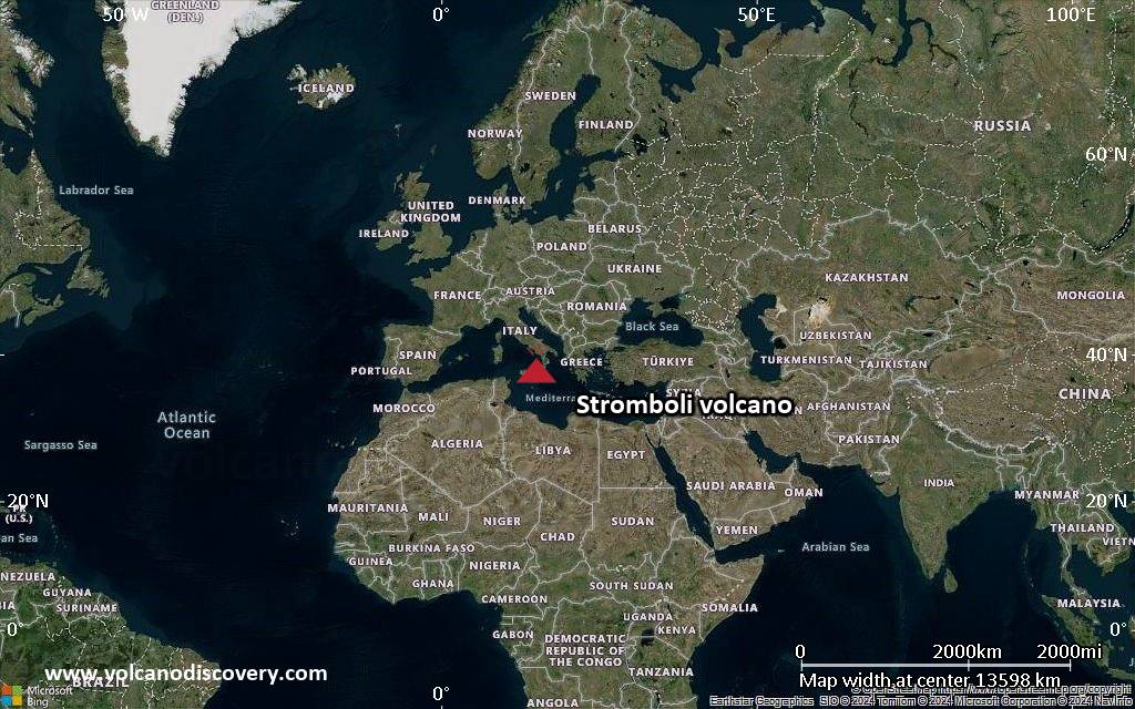
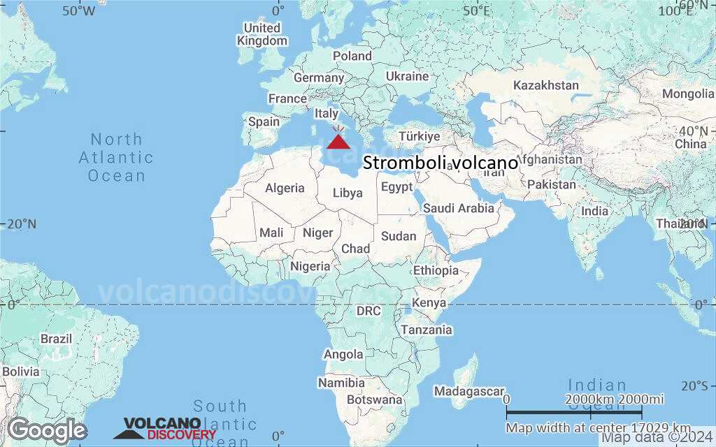
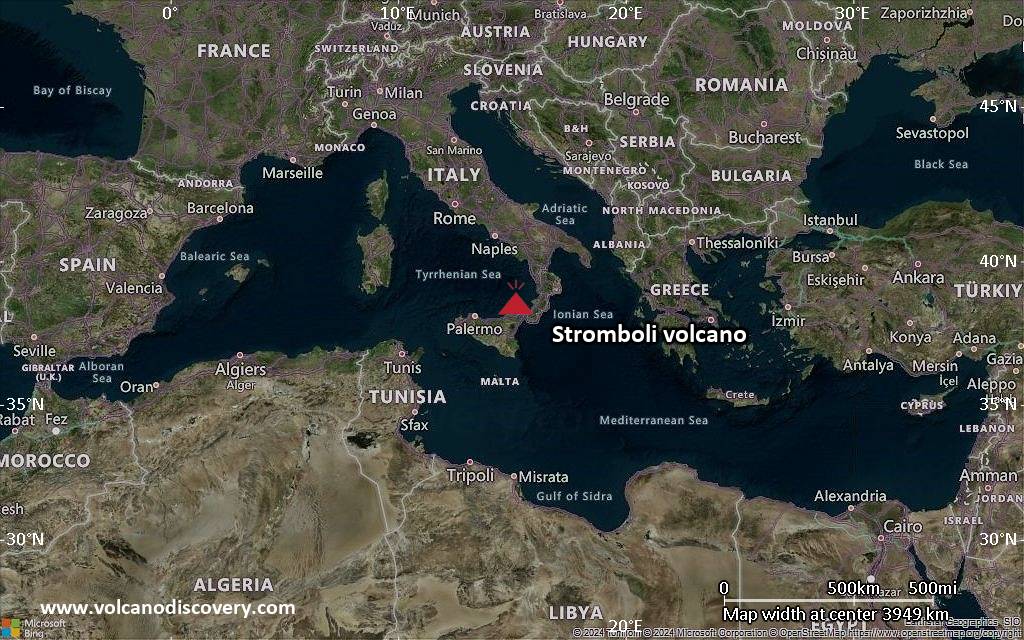
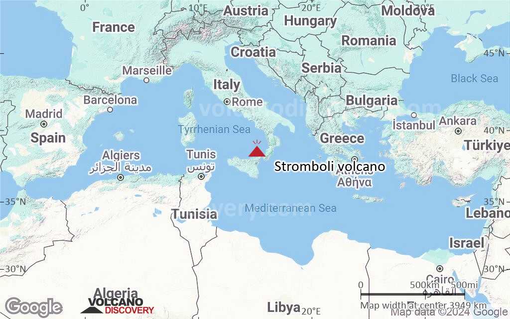
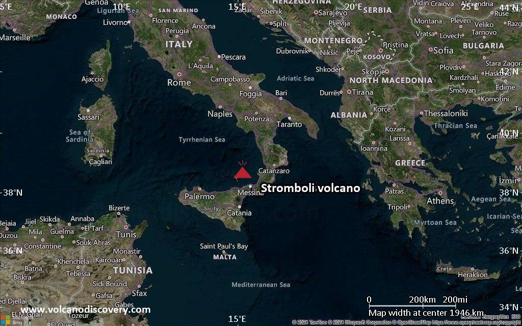
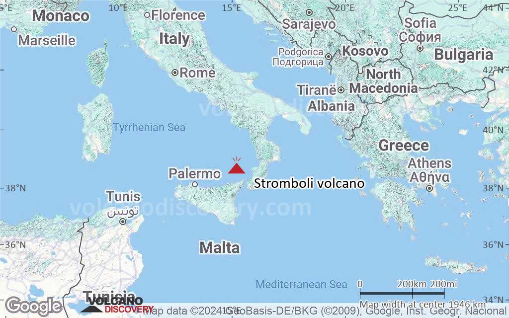
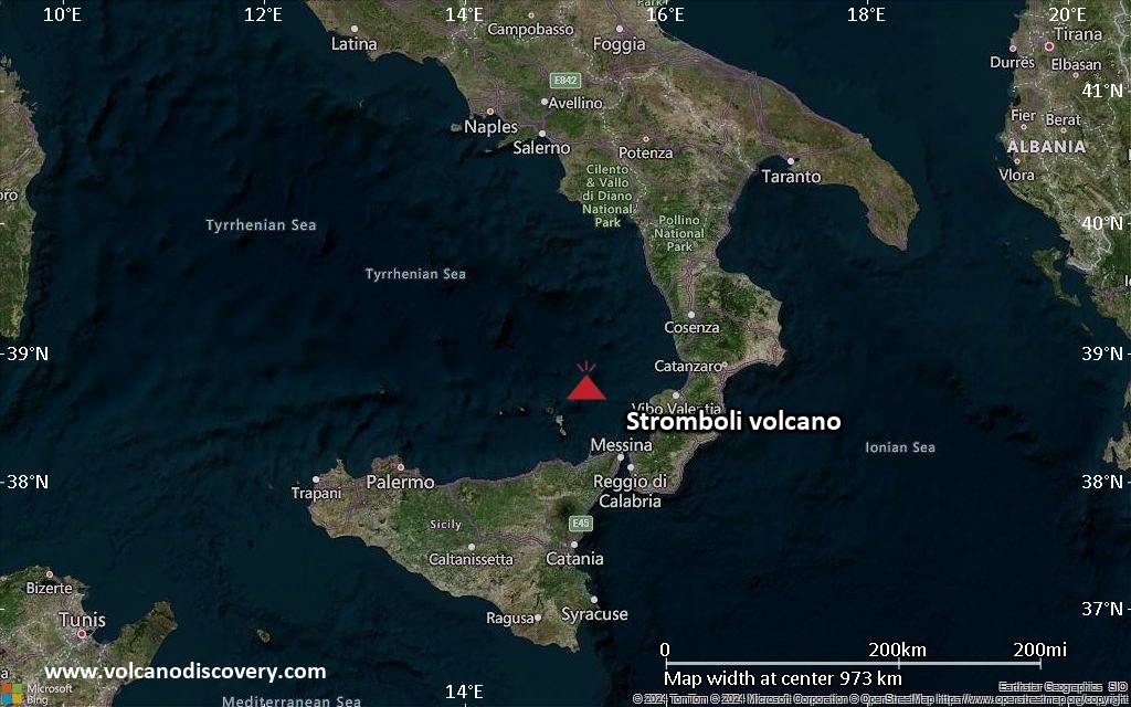
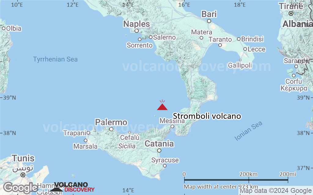
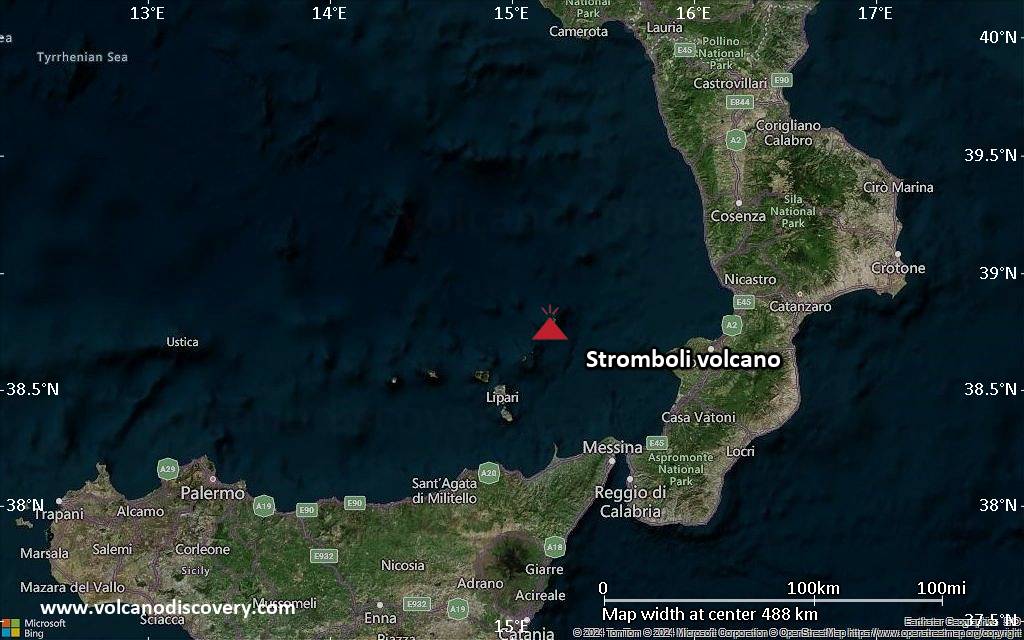
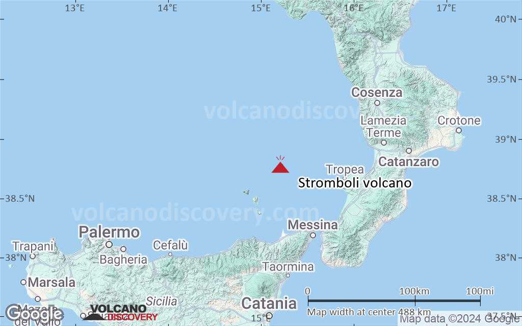
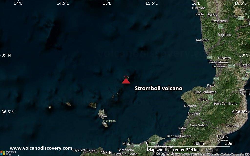
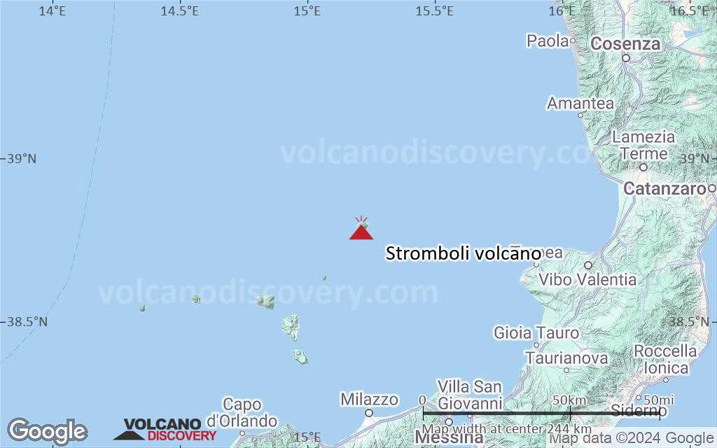
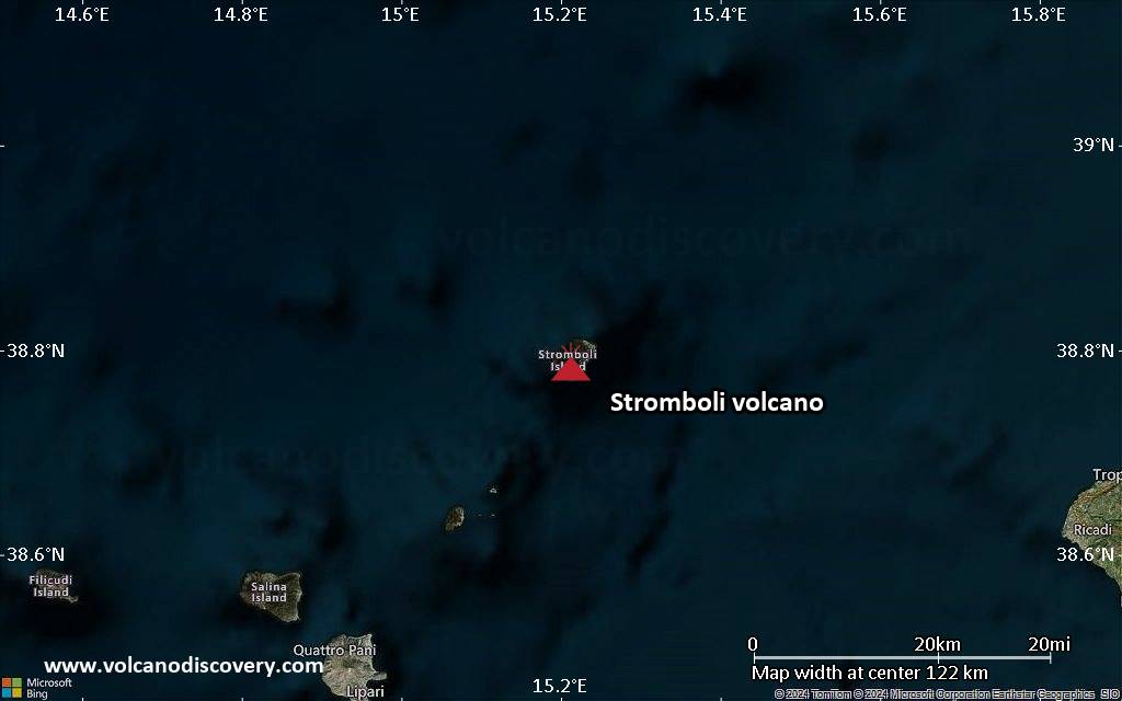
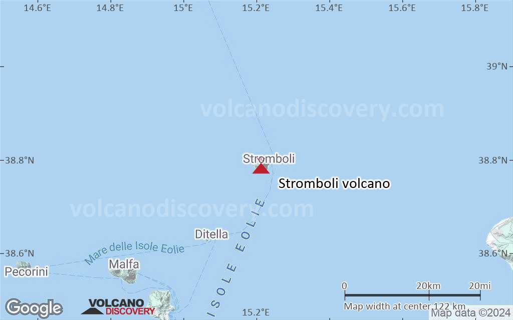
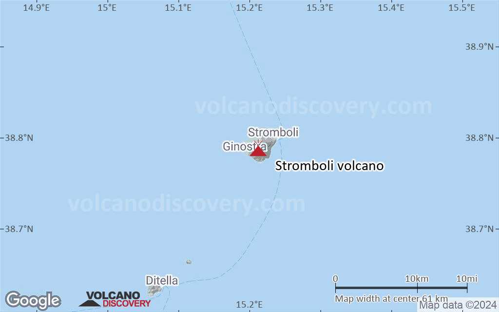
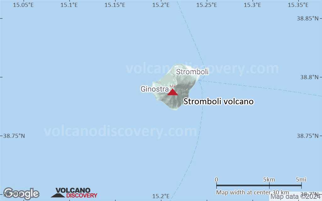
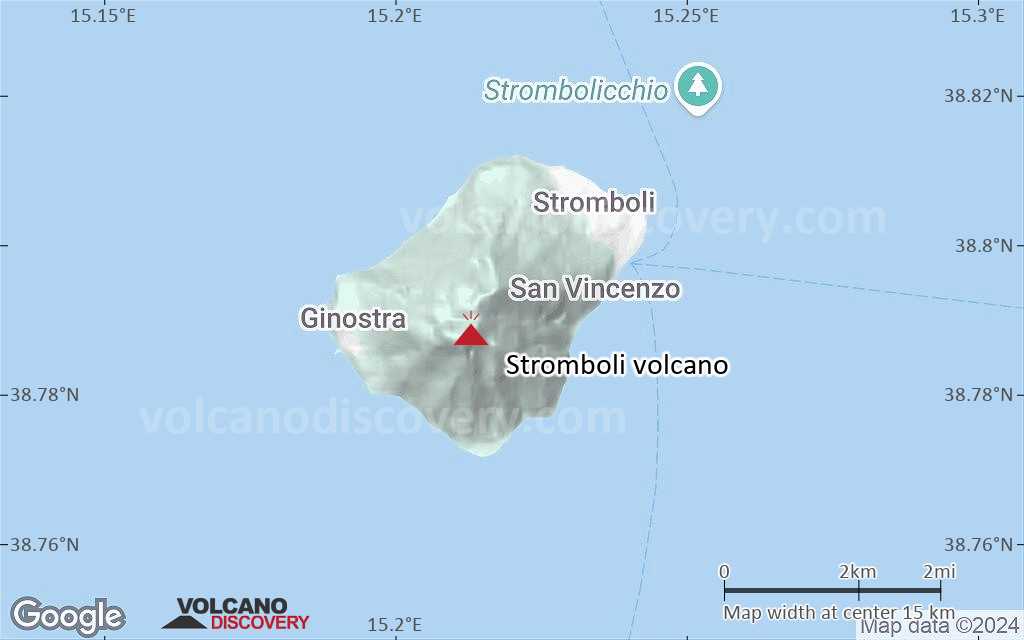
Stromboli Volcan Cartes

Below is a selection of maps showing the location and surroundings of the volcano at various resolutions based on aerial-imagery / terrain maps. Feel free to use them for non-commercial purposes on your blog or website as long as you credit them with a link back to this page (click to copy it).
Satellite/aerial-type map of Stromboli volcano (world scale)
Terrain-type map of Stromboli volcano (world scale)
Satellite/aerial-type map of Stromboli volcano (region scale large)
Terrain-type map of Stromboli volcano (region scale large)
Satellite/aerial-type map of Stromboli volcano (region scale medium)
Terrain-type map of Stromboli volcano (region scale medium)
Satellite/aerial-type map of Stromboli volcano (region scale small)
Terrain-type map of Stromboli volcano (region scale small)
Satellite/aerial-type map of Stromboli volcano (local scale large)
Terrain-type map of Stromboli volcano (local scale large)
Satellite/aerial-type map of Stromboli volcano (local scale medium)
Terrain-type map of Stromboli volcano (local scale medium)
Satellite/aerial-type map of Stromboli volcano (local scale small)
Terrain-type map of Stromboli volcano (local scale small)
Satellite/aerial-type map of Stromboli volcano (scale of 10s of km)
Terrain-type map of Stromboli volcano (scale of 10s of km)
Satellite/aerial-type map of Stromboli volcano (scale of 20-40 km)
Terrain-type map of Stromboli volcano (scale of 20-40 km)
Satellite/aerial-type map of Stromboli volcano (scale of approx. 10-20 km)
Terrain-type map of Stromboli volcano (scale of approx. 10-20 km)
Satellite/aerial-type map of Stromboli volcano (scale of 5-10 km)
Satellite/aerial-type map of Stromboli volcano (scale of few kilometers)
Volcanoes & Earthquakes - new app for Android
Départs garantis:
9-25 juin 2025: Volcans et Épices - Mer des Moluques (Sulawesi, Indonésie)
7-23 juil. 2025: Volcans et Épices - Mer des Moluques (Sulawesi, Indonésie)
1-17 août 2025: Volcans et Épices - Mer des Moluques (Sulawesi, Indonésie)
1-14 oct. 2025: Désert, sels et volcans - Désert de Danakil (Éthiopie)
4-12 oct. 2025: Montagnes de Feu - du Stromboli à l'Etna - Eoliennes + Etna
3-19 nov. 2025: Volcans et Épices - Mer des Moluques (Sulawesi, Indonésie)
= Places libres   = Départ garanti   = Quelques places disponibles   = Groupe fermé
mer., 16 avril 2025, 14:00

Stromboli volcano (Italy) - Smithsonian / USGS Weekly Volcanic Activity Report for 9 April-15 April 2025 (Continuing Activity)

The Sezione di Catania - Osservatorio Etneo (INGV) reported that eruptive activity continued at Stromboli during 7-13 April. Webcam images showed Strombolian activity at four vents in Area N within the upper part of the Sciara del Fuoco and from at least two vents in Area C-S (South-Central Crater) on the crater terrace. The vents in Area N continued to produce low-to-medium-intensity explosions at a rate of 5-15 events per hour, ejecting lapilli and bombs less than 150 m above the vents. ... Tout lire
mer., 9 avril 2025, 14:00

Stromboli volcano (Italy) - Smithsonian / USGS Weekly Volcanic Activity Report for 2 April-8 April 2025 (Continuing Activity)

The Sezione di Catania - Osservatorio Etneo (INGV) reported that eruptive activity continued at Stromboli during 31 March-6 April. Webcam images showed Strombolian activity at four vents in Area N within the upper part of the Sciara del Fuoco and from at least two vents in Area C-S (South-Central Crater) on the crater terrace. The vents in Area N continued to produce low- to medium-intensity explosions at a rate of 8-12 events per hour, ejecting lapilli and bombs less than 150 m above the vents. ... Tout lire

Sur cette page:

Try our free app!
Volcanoes & Earthquakes - new app for Android
Android | iOS version

More on VolcanoDiscovery

Why is there advertising on this site?

Support us - Help us upgrade our services!

We truly love working to bring you the latest volcano and earthquake data from around the world. Maintaining our website and our free apps does require, however, considerable time and resources.
We need financing to increase hard- and software capacity as well as support our editor team. We're aiming to achieve uninterrupted service wherever an earthquake or volcano eruption unfolds, and your donations can make it happen! Every donation will be highly appreciated. If you find the information useful and would like to support our team in integrating further features, write great content, and in upgrading our soft- and hardware, please make a donation (PayPal).

Planned features:Thanks to your past donations, these features have been added recently:
Download and Upgrade the Volcanoes & Earthquakes app to get one of the fastest seismic and volcano alerts online:
Android | IOS
Thank you!
Copyright: VolcanoDiscovery ou autres sources indiquées.
Utilisation des documents: Les textes, les images et les vidéos de ce site internet sont protégées par copyright. Toute reproduction et tout usage sans accord préalable ne sont pas autorisés. Si vous désirez acquérir pour certains documents (photos, vidéos, textes ou autres) le droit de reproduction, d'édition et, plus généralement, de toute utilisation destinée à un usage public, qu'elle soit commerciale ou pas, vous êtes priés de nous contacter.
Volcanoes & Earthquakes
VolcanoDiscovery Home
Volcans | Séismes | Photos | Actualités | | Shop | App
Adventure & Study Travel
Tours to Volcanoes and Volcanic Areas: walking tours, photo tours, study tours
Voyages |
Get our newsletter!
Company info
Contact | Mentions légales | Terms & conditions
Follow us
Follow us on facebook Follow us on Instagram Follow us on Bluesky Follow us on Twitter Visit our Youtube channel
EN | DE | EL | ES | FR | IT | RU
VolcanoDiscovery GmbH, Germany, Reg. nr.: HRB 103744, EU Tax Id: DE 297 465 123 owned and created by
Dr. Tom Pfeiffer, volcanologist, volcano photographer, tour organizer member of
IAVCEI
IAVCEI
Vulkanologische Gesellschaft
Volcanological Society
Ecotourism Greece
Ecotourism Greece
RUV insurance
Insured by R+V
VolcanoDiscovery © 2004- All Rights Reserved | Privacy - Changer Préférences