Saba Volcan
Updated: 25 avril. 2025 09:23 GMT -
Stratovolcano
West Indies, Netherlands, 17.63°N / -63.23°W 
+Heure locale:
Lever du soleil:
Coucher du soleil:
Lever de lune:
Coucher de lune:
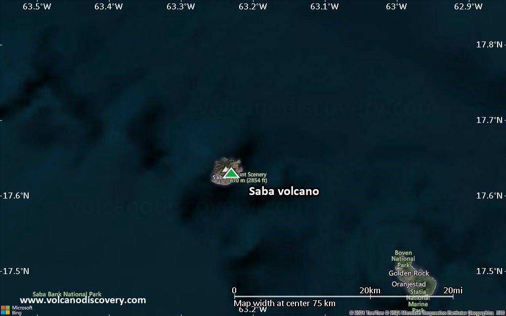
Summit height: 887 m / 2,910 ft
Condition actuelle: normal / en sommeil (1 sur 5)
[smaller] [larger]
Eruptions du volcan Saba: 1640 (in or before)
Derniers séismes proches
Introduction
Saba, the northernmost active volcano of the West Indies, is a small 5-km-diameter island forming the upper half of a large stratovolcano that rises 1500 m above the sea floor. Its eruptive history is characterized by the emplacement of lava domes and associated pyroclastic flows. The summit of the volcano, known as Mount Scenery (or The Mountain), is a Holocene lava dome that overtops a major collapse scarp that formed about 100,000 years ago. Flank domes were constructed on the SW, SE, east, and NE sides of the island near the coast. A large andesitic lava flow entered the sea on the NE flank, forming the Flat Point Peninsula, the only site level enough on which to locate the island's airport. The village of The Bottom overlies pyroclastic-surge deposits that contain European pottery fragments and were radiocarbon dated at 280 +/- 80 years before present. The village was settled in 1640 on grassy meadows on the volcano's flanks reflecting initial vegetation recovery following destruction of tropical rainforests by pyroclastic flows and surges. Lava dome growth may also have occurred during this SW-flank eruption.---
Smithsonian / GVP volcano information
Éruptions volcaniques importantes: volcano Saba
In the past 10,000 years, Saba has had only one confirmed historic eruption in 1640 AD.
The table below lists all known eruptions (date in bold face) of Saba volcano in historic times and during the past 10,000 years. Updates on the most recent volcanic activity of Saba can be found on the news page of Saba volcano.
| Date | Note | VEI | Morts | Dommages | |
|---|---|---|---|---|---|
| SW flank Obs./docs historiques | ? | inconnu | |||
Remark:
Our list of volcanic eruptions closely follows the database of eruptions of the Smithsonian's Global Volcanism Project (GVP), the internationally most recognized data source for volcanic eruptions, but also includes significant eruptive episodes or related volcano events. "Volcanic eruptions" are usually to be understood as sequences of individual eruptive episodes that can follow each other, or even overlap (if several vents are involved), and can last many years, decades or even longer. For example, the current activity of Stromboli volcano is understood as a single eruption that has been ongoing since 1934.
Sources: NOAA National Centers for Environmental Information (NCEI), Global Significant Volcanic Eruptions Database. doi:10.7289/V5TD9V7K | Global Volcanism Project / Smithsonian Institution
Saba Volcano FAQ
+When was the last eruption of Saba volcano?
The last confirmed eruption of Saba occurred in 1640 AD.
+How often does Saba volcano erupt?
Since 1640 AD, Saba volcano has had at least 1 historically documented eruptions. This means that it erupts on average every 385 years.
Dernières images satellite
Saba Volcan Cartes
Below is a selection of maps showing the location and surroundings of the volcano at various resolutions based on aerial-imagery / terrain maps. Feel free to use them for non-commercial purposes on your blog or website as long as you credit them with a link back to this page (click to copy it).
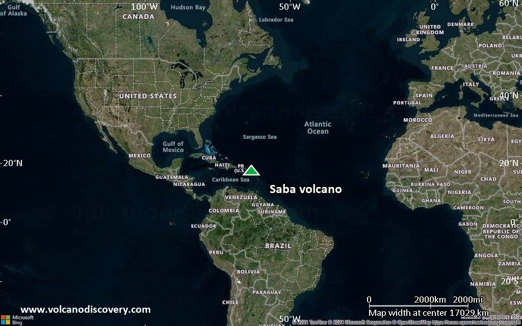
Satellite/aerial-type map of Saba volcano (world scale)
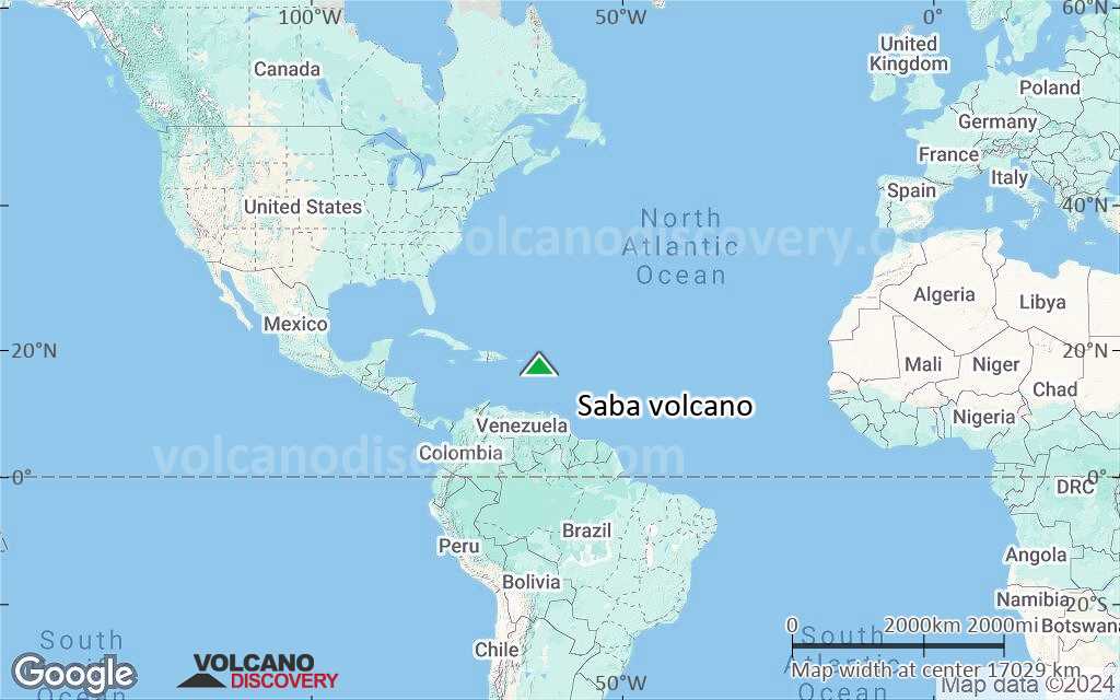
Terrain-type map of Saba volcano (world scale)
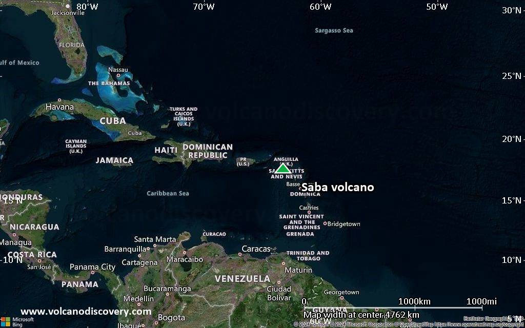
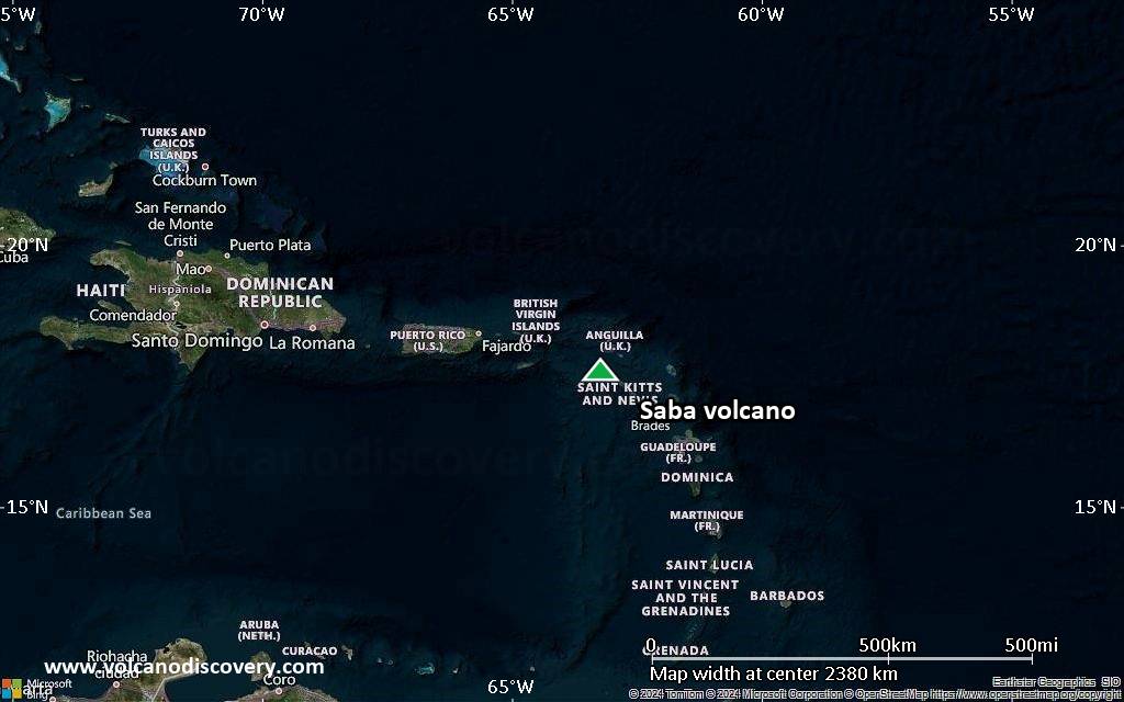
Satellite/aerial-type map of Saba volcano (region scale large)
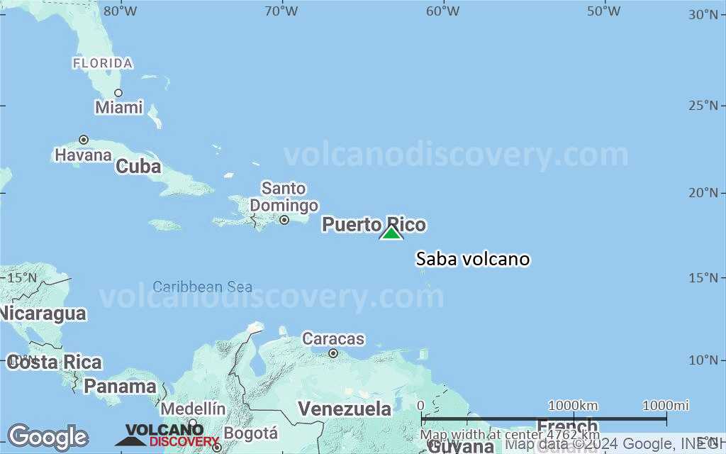
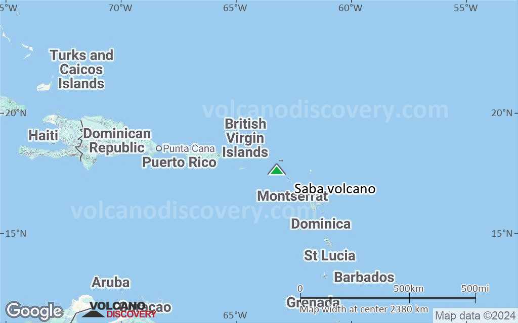
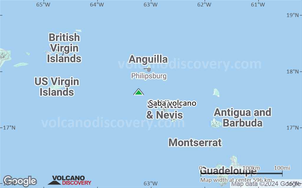
Terrain-type map of Saba volcano (region scale large)
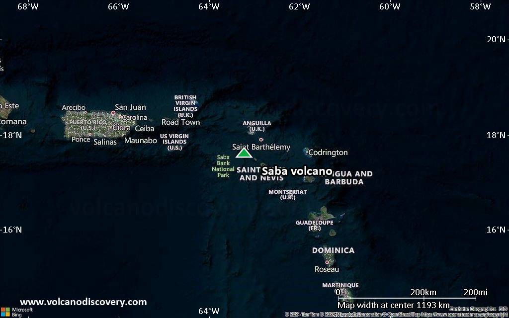
Satellite/aerial-type map of Saba volcano (region scale medium)
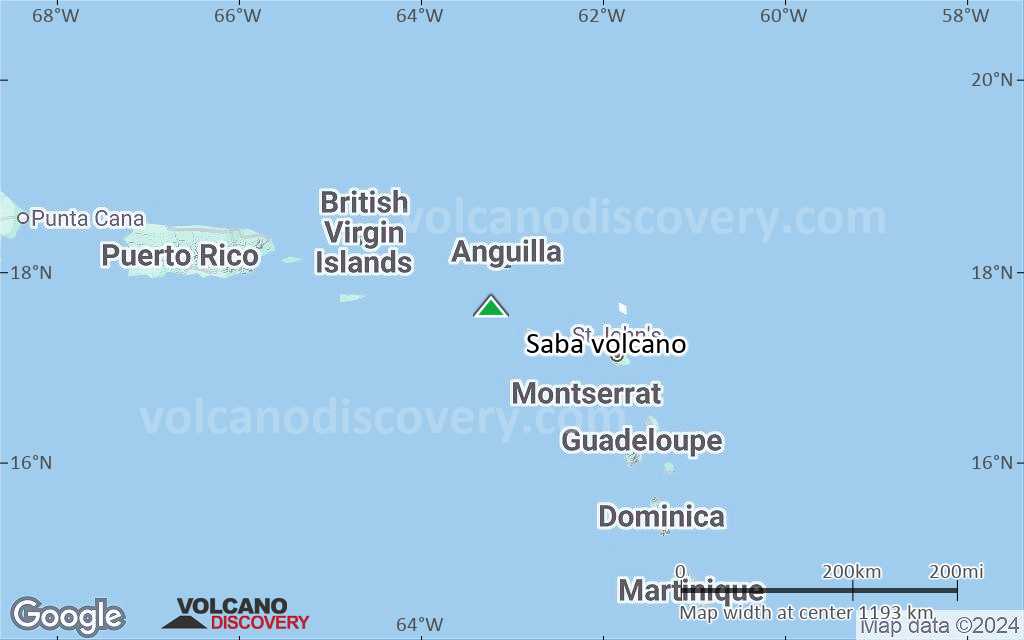
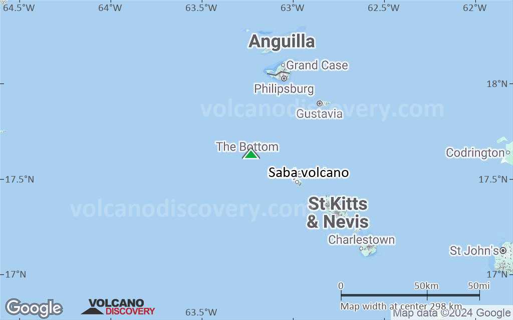
Terrain-type map of Saba volcano (region scale medium)
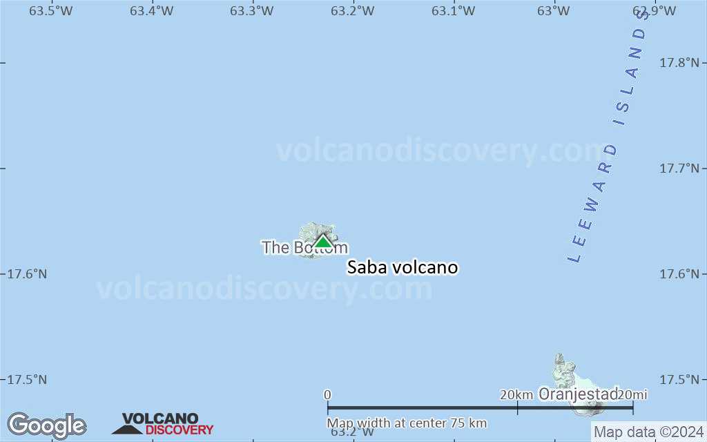
Satellite/aerial-type map of Saba volcano (region scale small)
Terrain-type map of Saba volcano (region scale small)

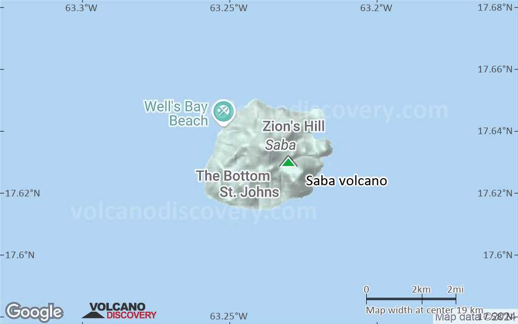
Satellite/aerial-type map of Saba volcano (local scale large)
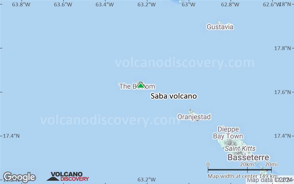
Terrain-type map of Saba volcano (local scale large)

Satellite/aerial-type map of Saba volcano (local scale medium)
Terrain-type map of Saba volcano (local scale medium)

Satellite/aerial-type map of Saba volcano (local scale small)
Terrain-type map of Saba volcano (local scale small)
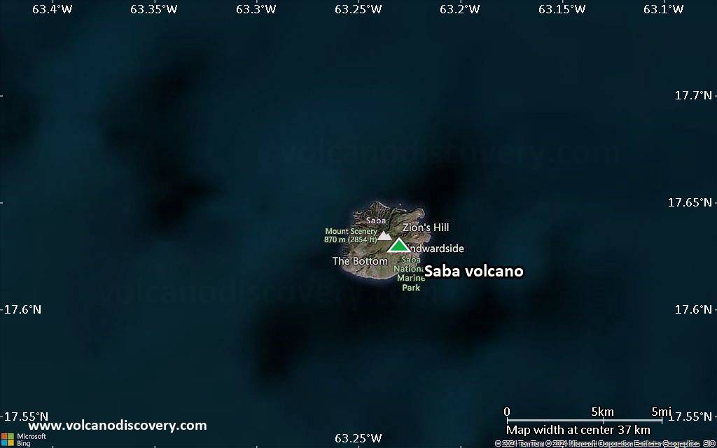
Satellite/aerial-type map of Saba volcano (scale of 10s of km)
Terrain-type map of Saba volcano (scale of 10s of km)
Satellite/aerial-type map of Saba volcano (scale of 20-40 km)

Terrain-type map of Saba volcano (scale of 20-40 km)
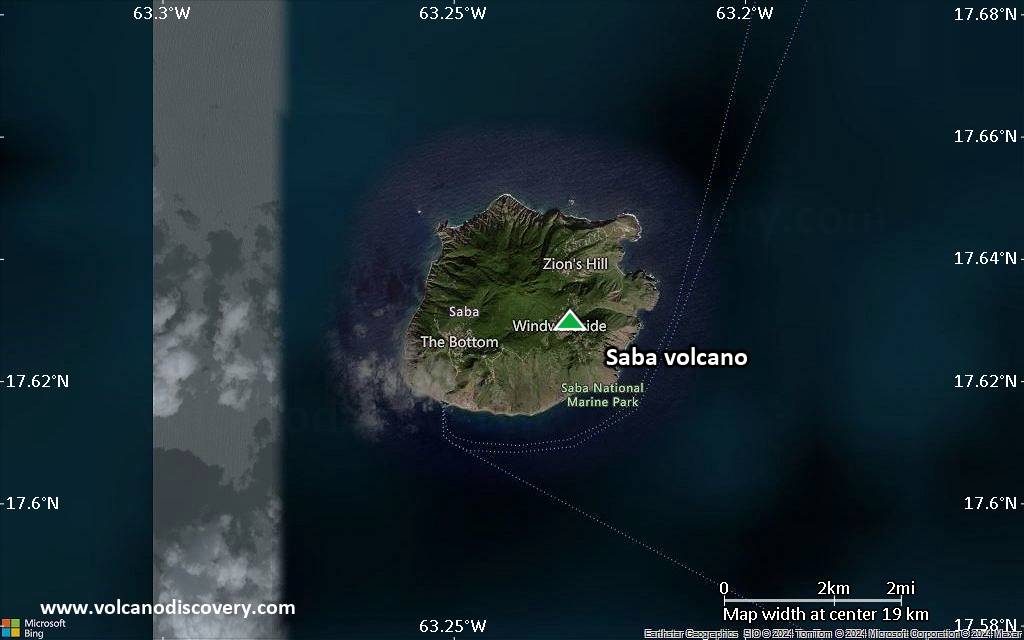
Satellite/aerial-type map of Saba volcano (scale of approx. 10-20 km)
Terrain-type map of Saba volcano (scale of approx. 10-20 km)

Satellite/aerial-type map of Saba volcano (scale of 5-10 km)

Satellite/aerial-type map of Saba volcano (scale of few kilometers)